Elevation of 64 Mountain View Trail, White Sulphur Springs, MT, USA
Location: United States > Montana > Meagher County > White Sulphur Springs >
Longitude: -111.05288
Latitude: 46.331834
Elevation: 1769m / 5804feet
Barometric Pressure: 82KPa
Elevation Map:
Satellite Map:
Related Photos:
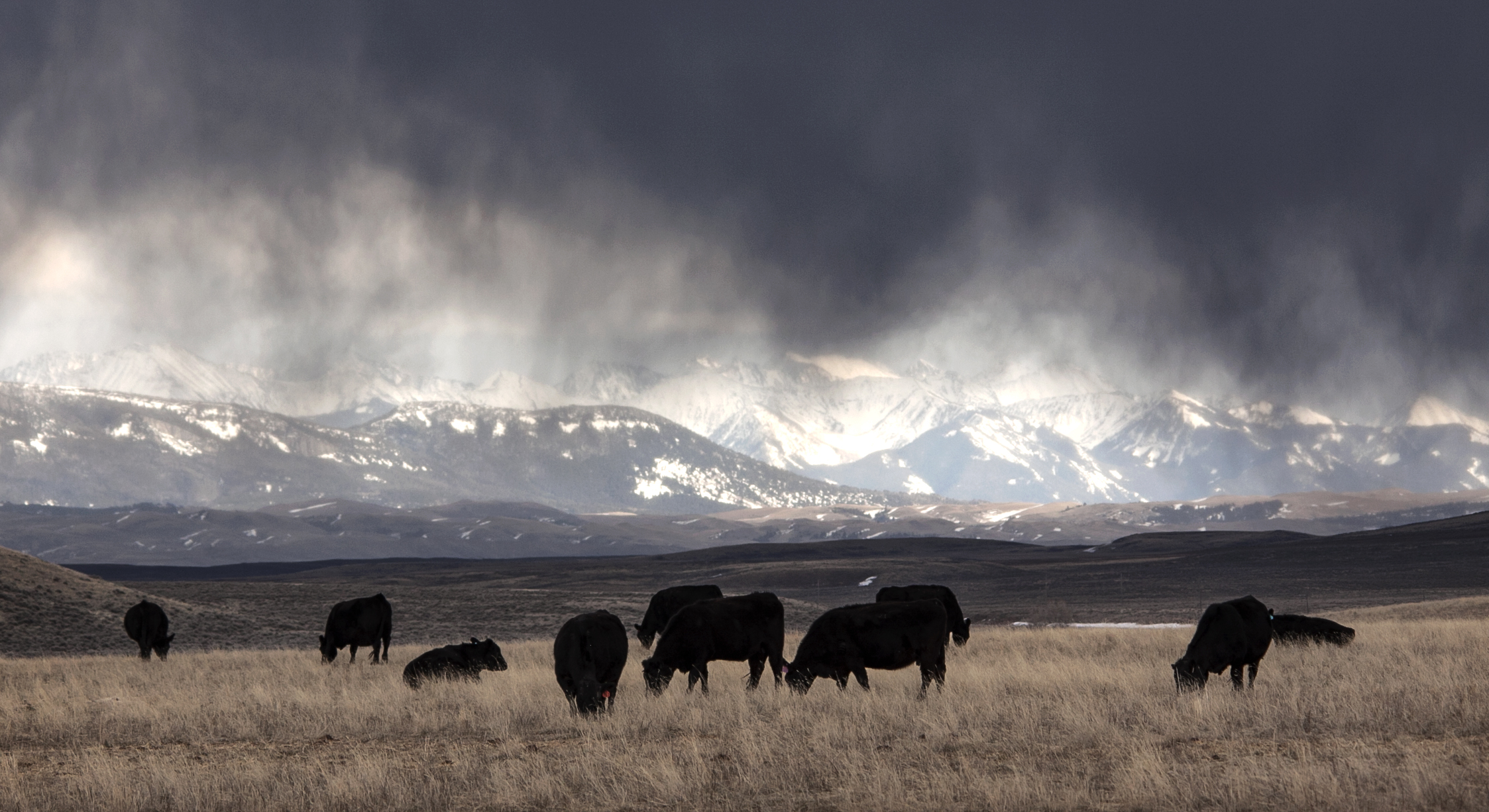
There's a Storm Across the Valley, Clouds are Rolling In...
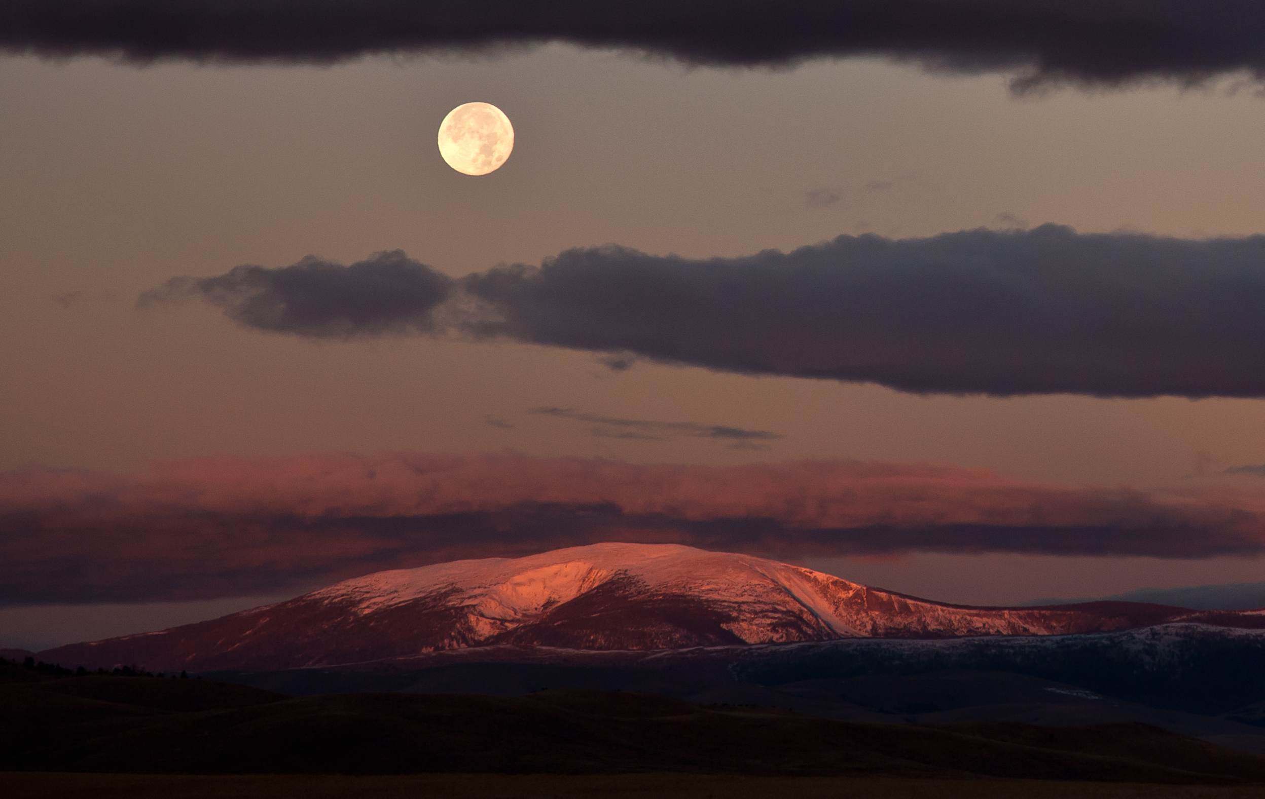
Full Moon over Mount Baldy
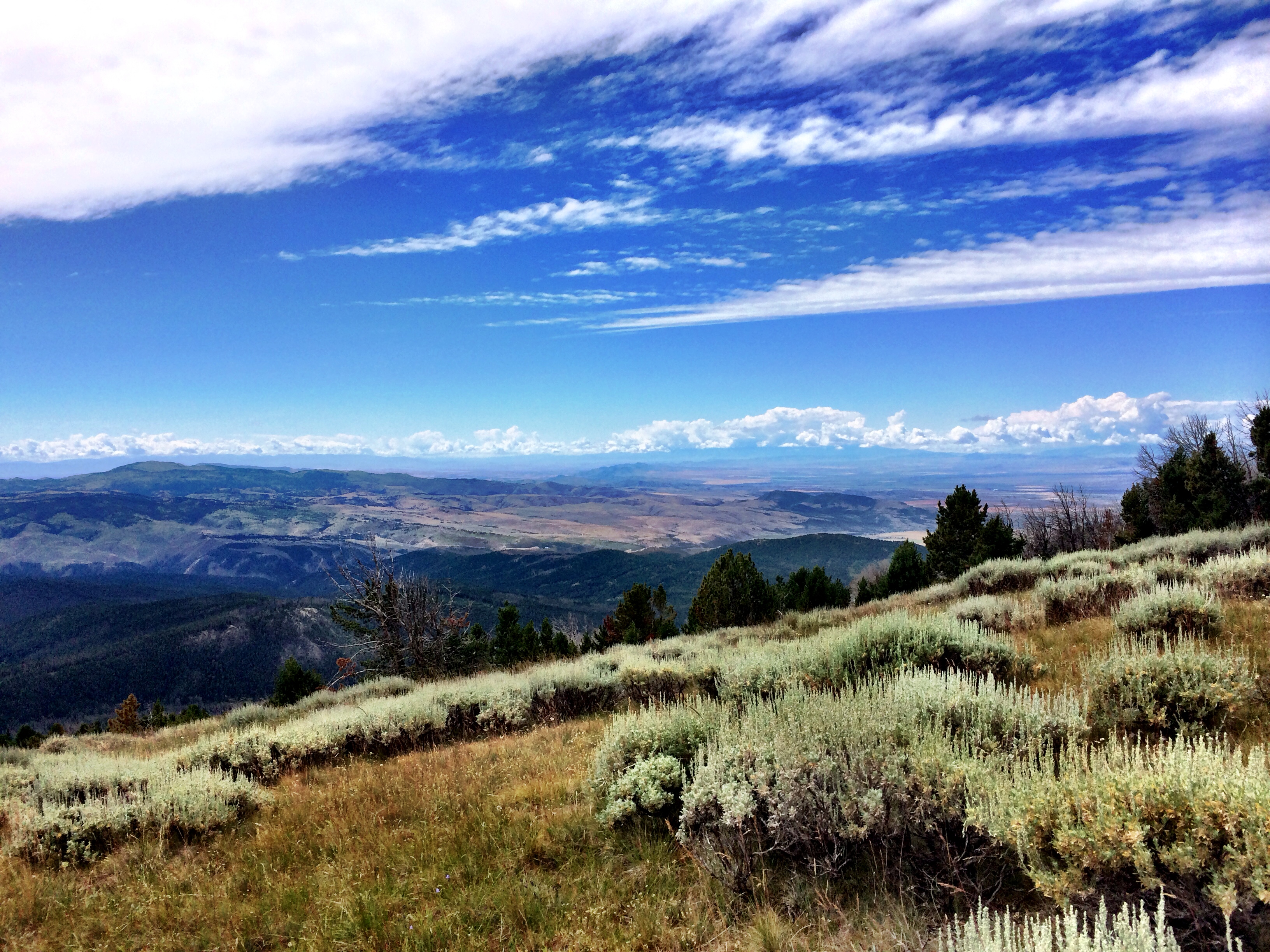
Sagebrush Steppe in the Big Belt Mountains
hrIMG_6203-2

Sheep. Big Belt Mountains. Montana
Everyday for 7 Weeks - Day3 - Billings to Missoula

Smallflower woodland-star
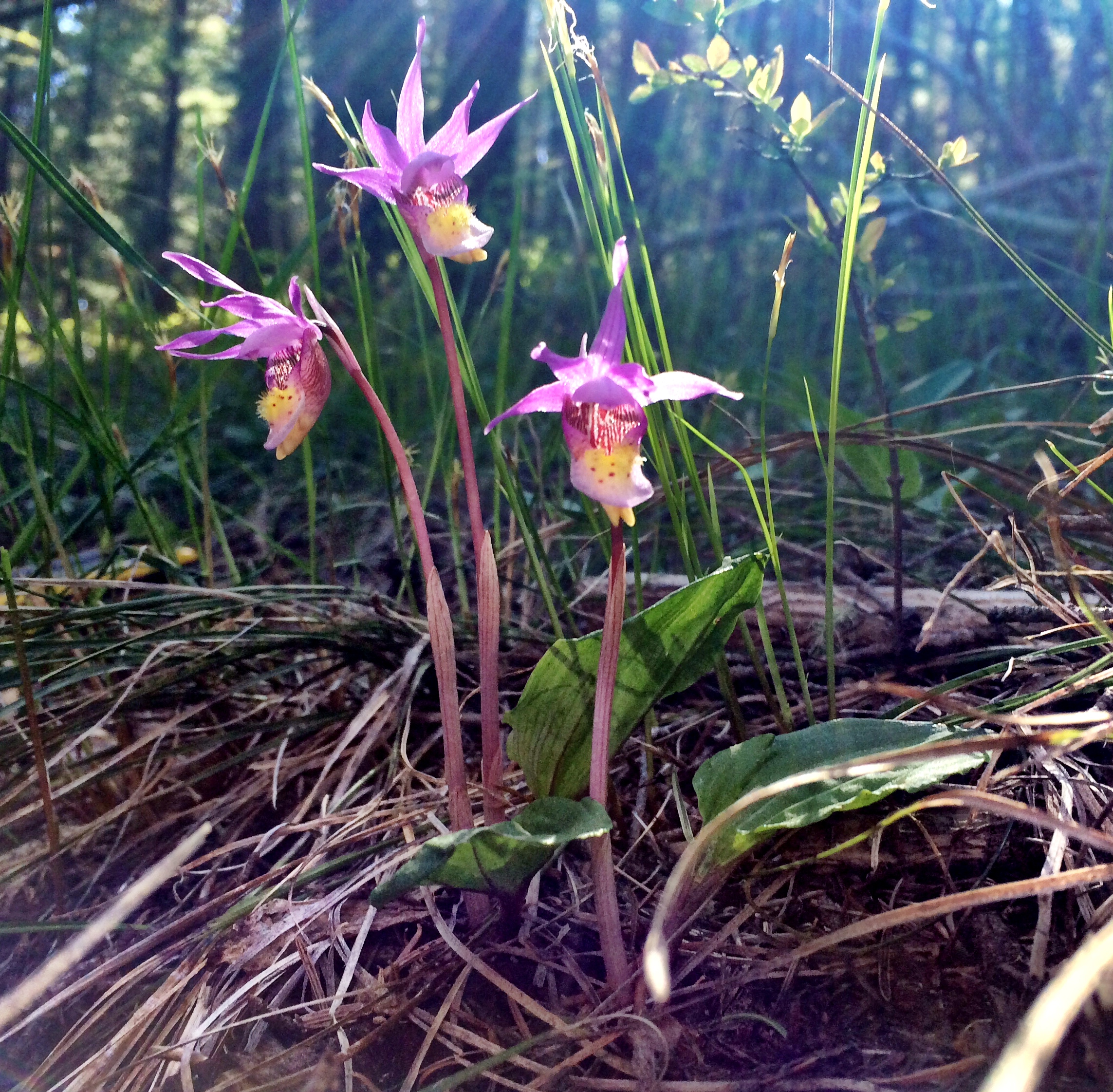
Calypso Orchid, Fairy Slipper

Here Comes the Sun

Moving cows. Montana
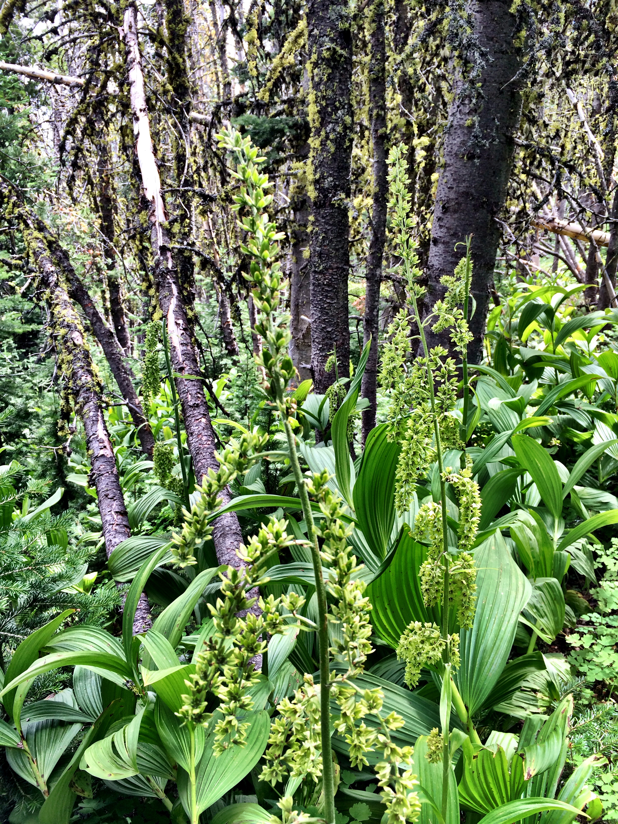
American False Hellebore
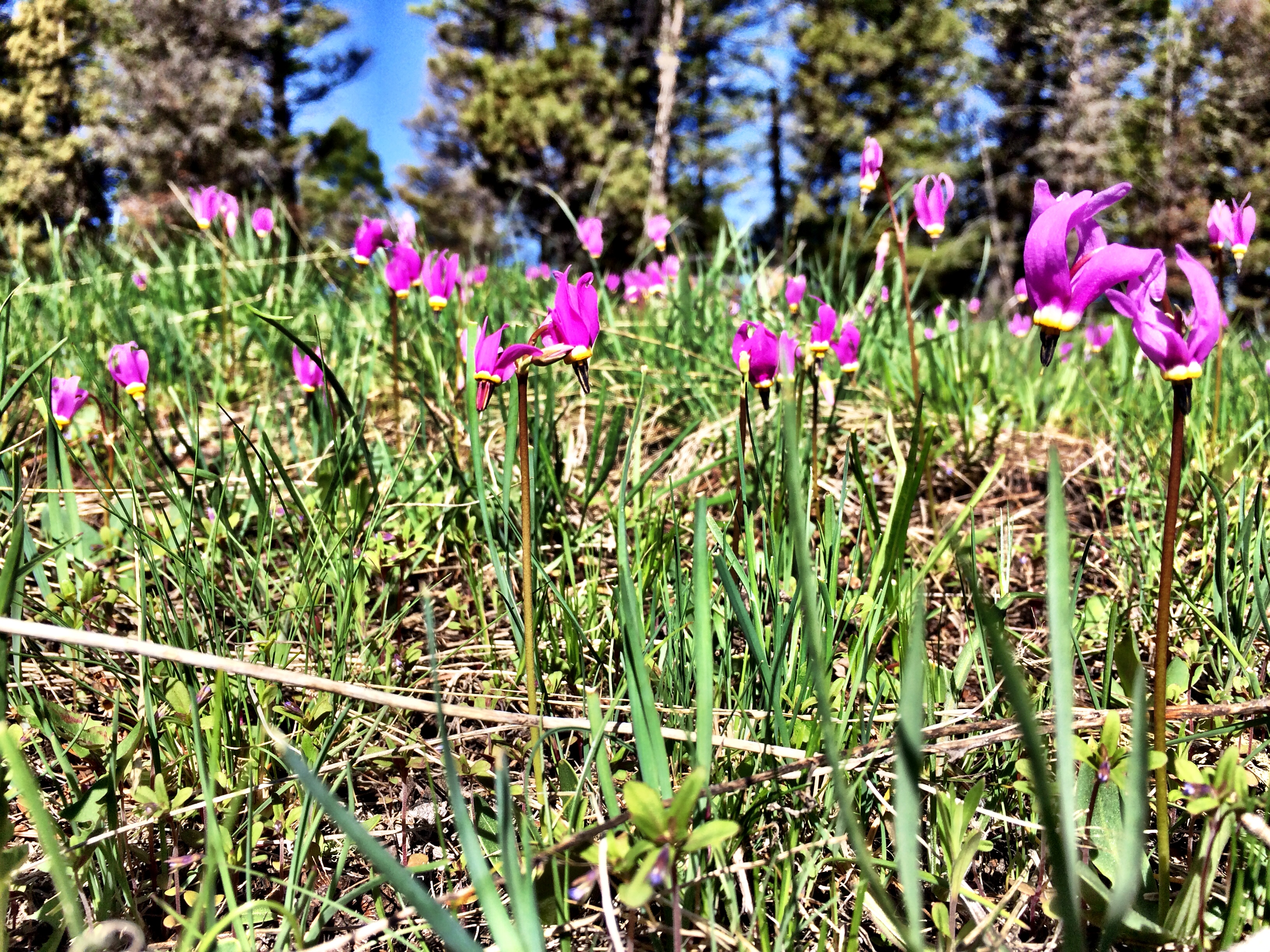
Bonneville Shooting Star, Slimpod Shooting Star
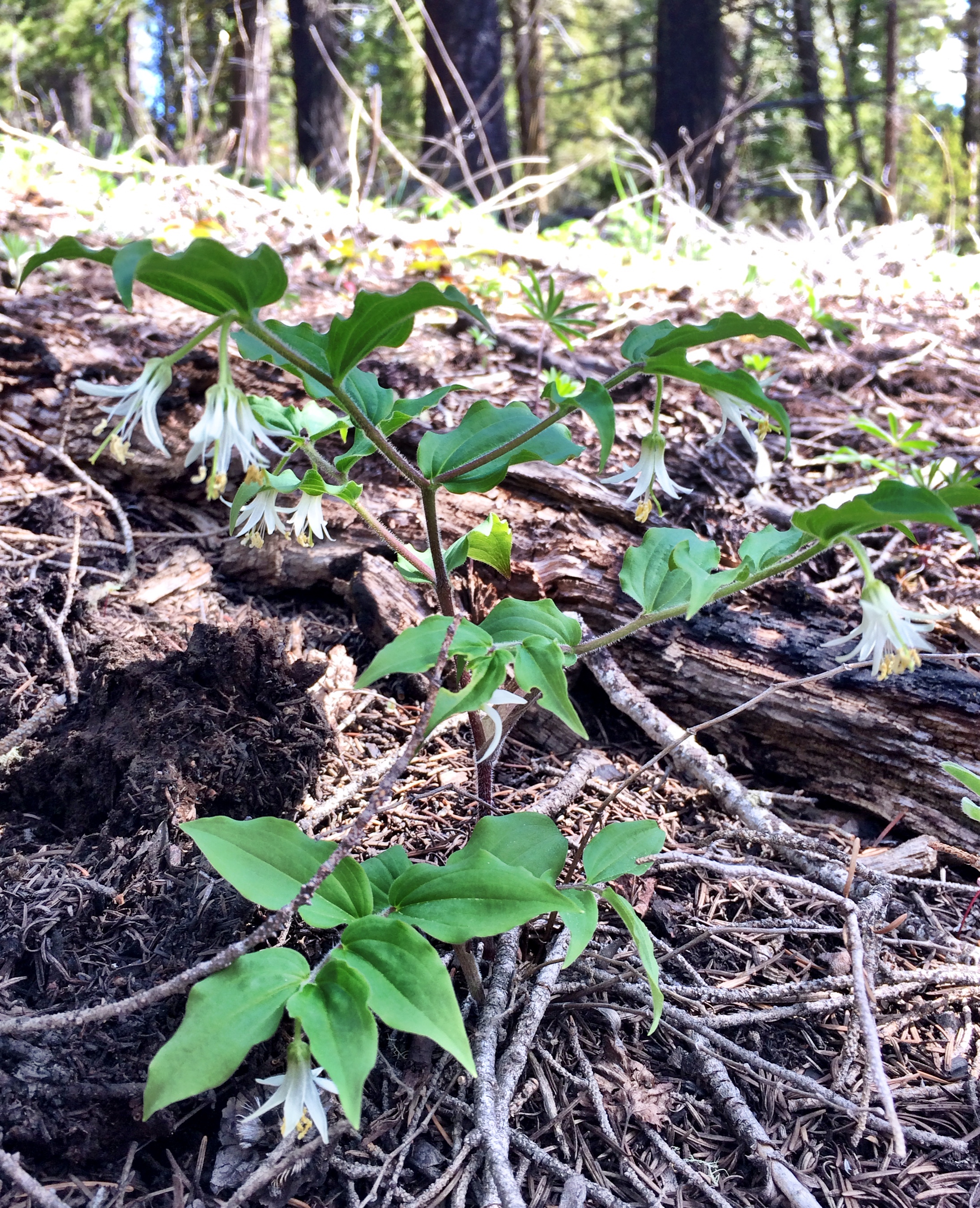
Rough-fruited Fairy Bell
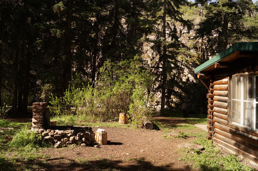
Rillway cabin along Deep Creek. Near Townsend Montana.
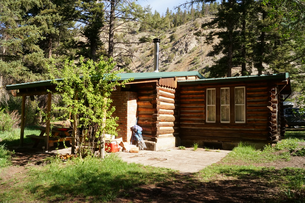
Rillway cabin near Townsend Montana

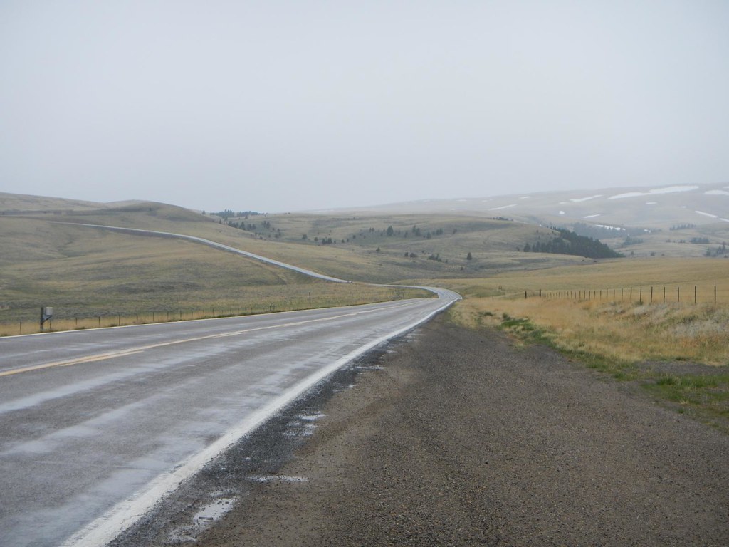
Hang a right and head straight on home to Canada

Real Estate
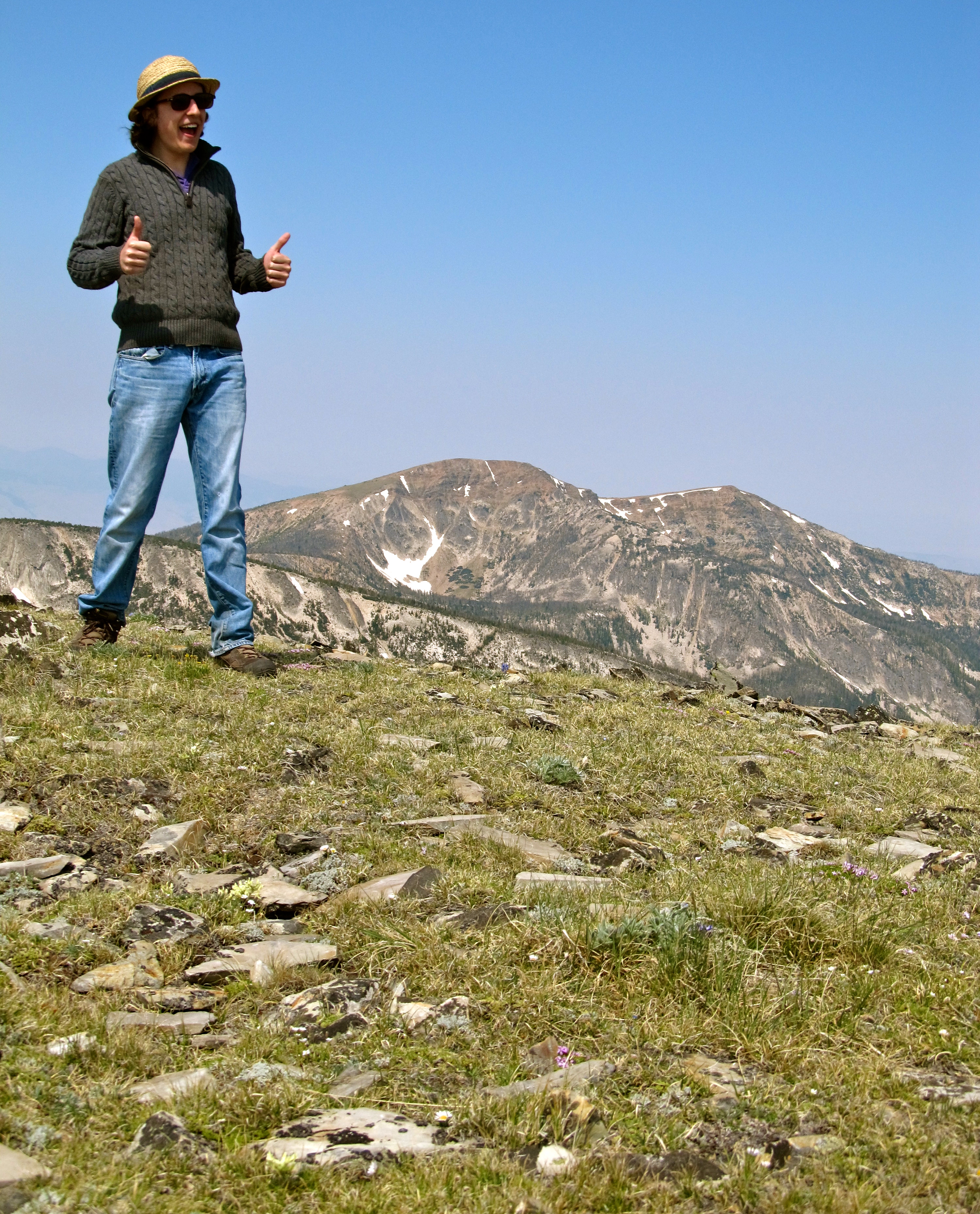
Kael on Mount Edith. Montana
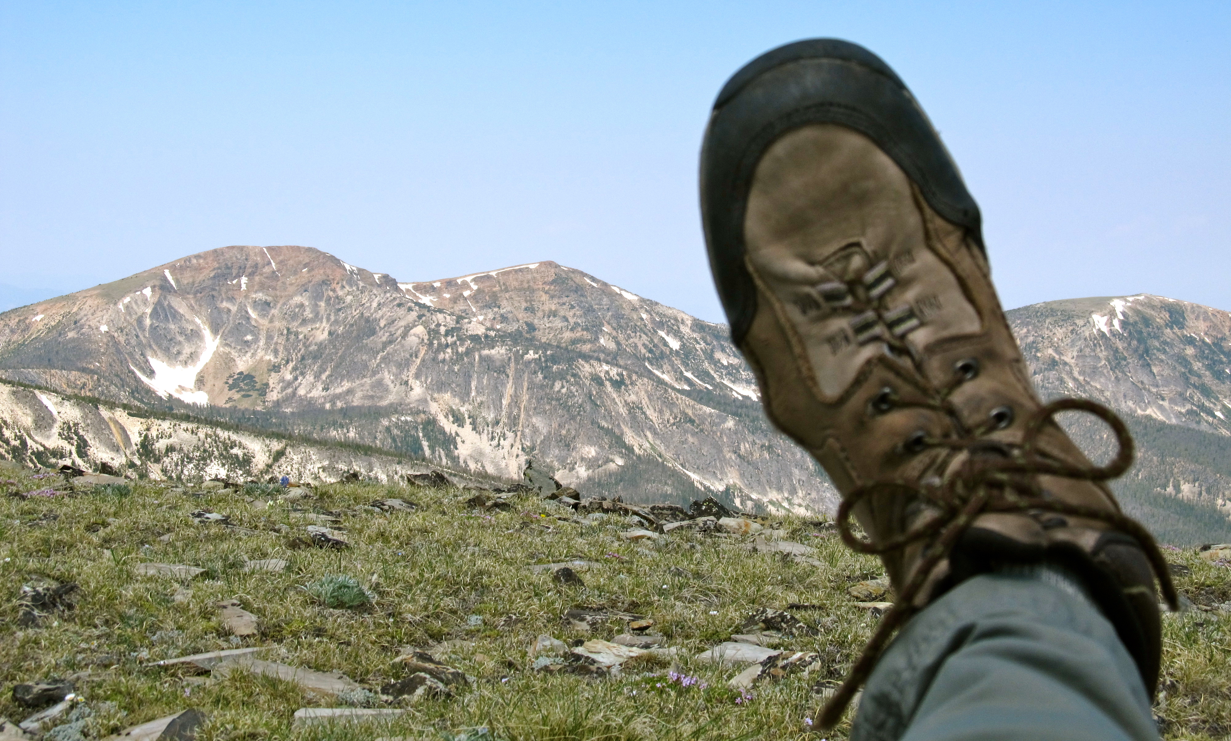
My left boot and Mount Baldy. Montana

Big Sky Country
hrIMG_6213-2
Topographic Map of 64 Mountain View Trail, White Sulphur Springs, MT, USA
Find elevation by address:

Places near 64 Mountain View Trail, White Sulphur Springs, MT, USA:
21 Hitching Post Rd
35 Elk Haven Ct
Pine Hill Drive
9 Pine Hill Dr
Springville Ln, Townsend, MT, USA
Francis Rd, Belgrade, MT, USA
Ringling
Horse Mountain
5000 Petterson Rd
14337 Rocky Mountain Rd
Bridger Range
14835 Brackett Creek Rd
Wilsall
16530 Brackett Creek Rd
485 Nixon Peak Rd
41 Serenity Ln
300 Solitude Ln
270 Falling Star Rd
Bridger Bowl Ski Area
1800 Skunk Creek Rd
Recent Searches:
- Elevation of Corso Fratelli Cairoli, 35, Macerata MC, Italy
- Elevation of Tallevast Rd, Sarasota, FL, USA
- Elevation of 4th St E, Sonoma, CA, USA
- Elevation of Black Hollow Rd, Pennsdale, PA, USA
- Elevation of Oakland Ave, Williamsport, PA, USA
- Elevation of Pedrógão Grande, Portugal
- Elevation of Klee Dr, Martinsburg, WV, USA
- Elevation of Via Roma, Pieranica CR, Italy
- Elevation of Tavkvetili Mountain, Georgia
- Elevation of Hartfords Bluff Cir, Mt Pleasant, SC, USA