Elevation of Ring Rd, Ravenden, AR, USA
Location: United States > Arkansas > Randolph County > Union Township >
Longitude: -91.300461
Latitude: 36.4280187
Elevation: 159m / 522feet
Barometric Pressure: 99KPa
Elevation Map:
Satellite Map:
Related Photos:

Corgi puppy

Corgi puppy
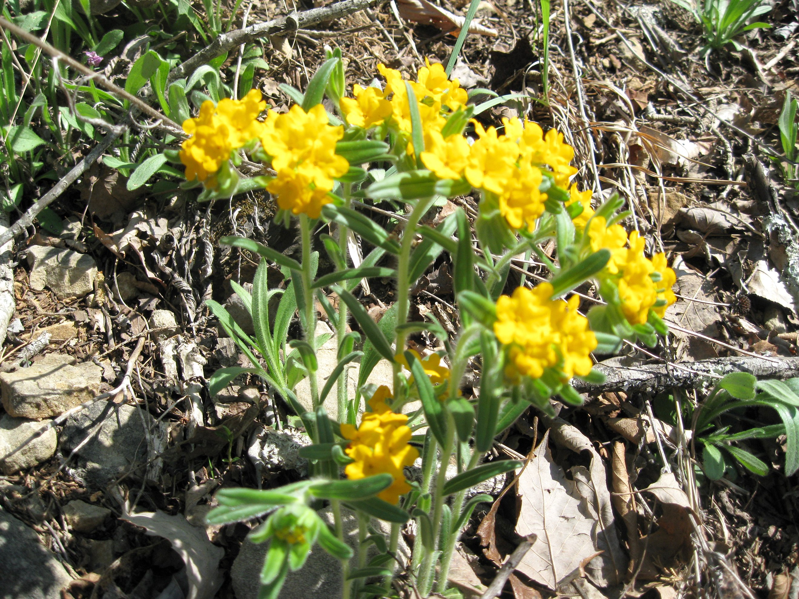
"Hoary" Puccoons

looney-postcard-1912
img032 copy
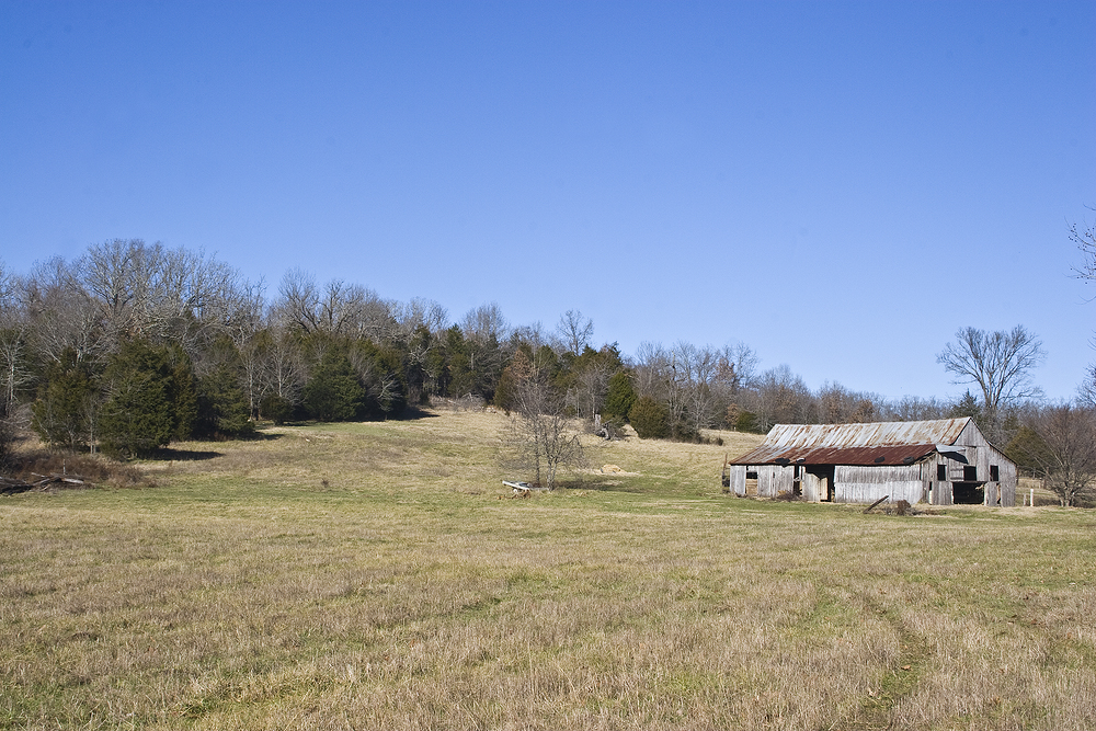
A More Relaxed Way of Life
Topographic Map of Ring Rd, Ravenden, AR, USA
Find elevation by address:

Places near Ring Rd, Ravenden, AR, USA:
1267 Ring Rd
1267 Ring Rd
Union Township
9 E Wirth Rd, Mammoth Spring, AR, USA
Lower North Township
Dalton Township
Elm St, Ravenden Springs, AR, USA
Ozark Township
State Hwy 93, Pocahontas, AR, USA
Ozark Acres
127 Jade Trail
Williford
East Main
Campbell Road
Hwy 90 W, Ravenden Springs, AR, USA
291 Lone Oak Rd
Water Valley Township
Jackson Township
Jackson Township
State Hwy, Pocahontas, AR, USA
Recent Searches:
- Elevation of Corso Fratelli Cairoli, 35, Macerata MC, Italy
- Elevation of Tallevast Rd, Sarasota, FL, USA
- Elevation of 4th St E, Sonoma, CA, USA
- Elevation of Black Hollow Rd, Pennsdale, PA, USA
- Elevation of Oakland Ave, Williamsport, PA, USA
- Elevation of Pedrógão Grande, Portugal
- Elevation of Klee Dr, Martinsburg, WV, USA
- Elevation of Via Roma, Pieranica CR, Italy
- Elevation of Tavkvetili Mountain, Georgia
- Elevation of Hartfords Bluff Cir, Mt Pleasant, SC, USA