Elevation of Hwy 90 W, Ravenden Springs, AR, USA
Location: United States > Arkansas > Randolph County > Water Valley Township >
Longitude: -91.127527
Latitude: 36.340948
Elevation: 96m / 315feet
Barometric Pressure: 100KPa
Elevation Map:
Satellite Map:
Related Photos:
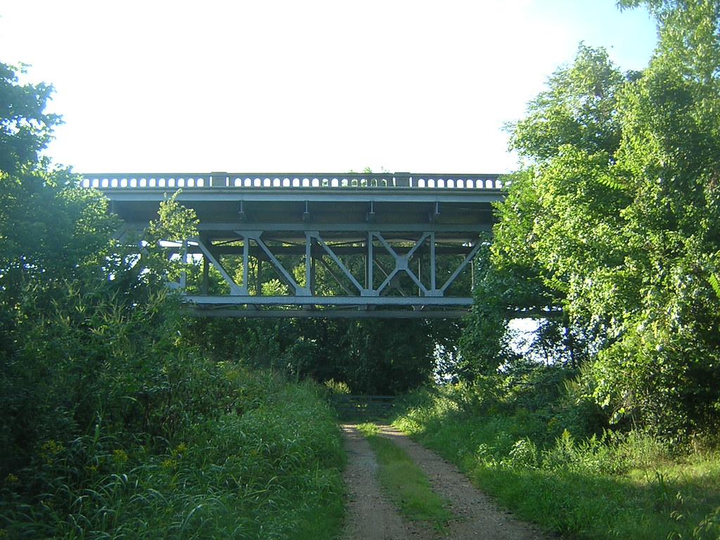
Imboden Bridge-Side View
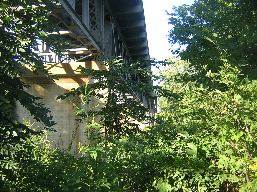
Imboden Bridge-Below

School bus

Eddie Mae Herron Center
Topographic Map of Hwy 90 W, Ravenden Springs, AR, USA
Find elevation by address:

Places near Hwy 90 W, Ravenden Springs, AR, USA:
Water Valley Township
Stoney Point Rd, Pocahontas, AR, USA
Shiloh Township
127 Jade Trail
State Hwy 93, Pocahontas, AR, USA
Jackson Township
State Hwy, Pocahontas, AR, USA
Dalton Township
Elm St, Ravenden Springs, AR, USA
West Roanoke Township
US-62, Imboden, AR, USA
Rogers Rd, Pocahontas, AR, USA
Randolph County
Imboden
Warm Springs Township
1345 Palestine Rd
709 Carroll St
Ingram Township
Parkview, Warm Springs, AR, USA
Warm Springs
Recent Searches:
- Elevation of Corso Fratelli Cairoli, 35, Macerata MC, Italy
- Elevation of Tallevast Rd, Sarasota, FL, USA
- Elevation of 4th St E, Sonoma, CA, USA
- Elevation of Black Hollow Rd, Pennsdale, PA, USA
- Elevation of Oakland Ave, Williamsport, PA, USA
- Elevation of Pedrógão Grande, Portugal
- Elevation of Klee Dr, Martinsburg, WV, USA
- Elevation of Via Roma, Pieranica CR, Italy
- Elevation of Tavkvetili Mountain, Georgia
- Elevation of Hartfords Bluff Cir, Mt Pleasant, SC, USA