Elevation of Ridge Rd, Snow Hill, MD, USA
Location: United States > Maryland > Worcester County > 2, Snow Hill > Snow Hill >
Longitude: -75.469784
Latitude: 38.225034
Elevation: 8m / 26feet
Barometric Pressure: 101KPa
Elevation Map:
Satellite Map:
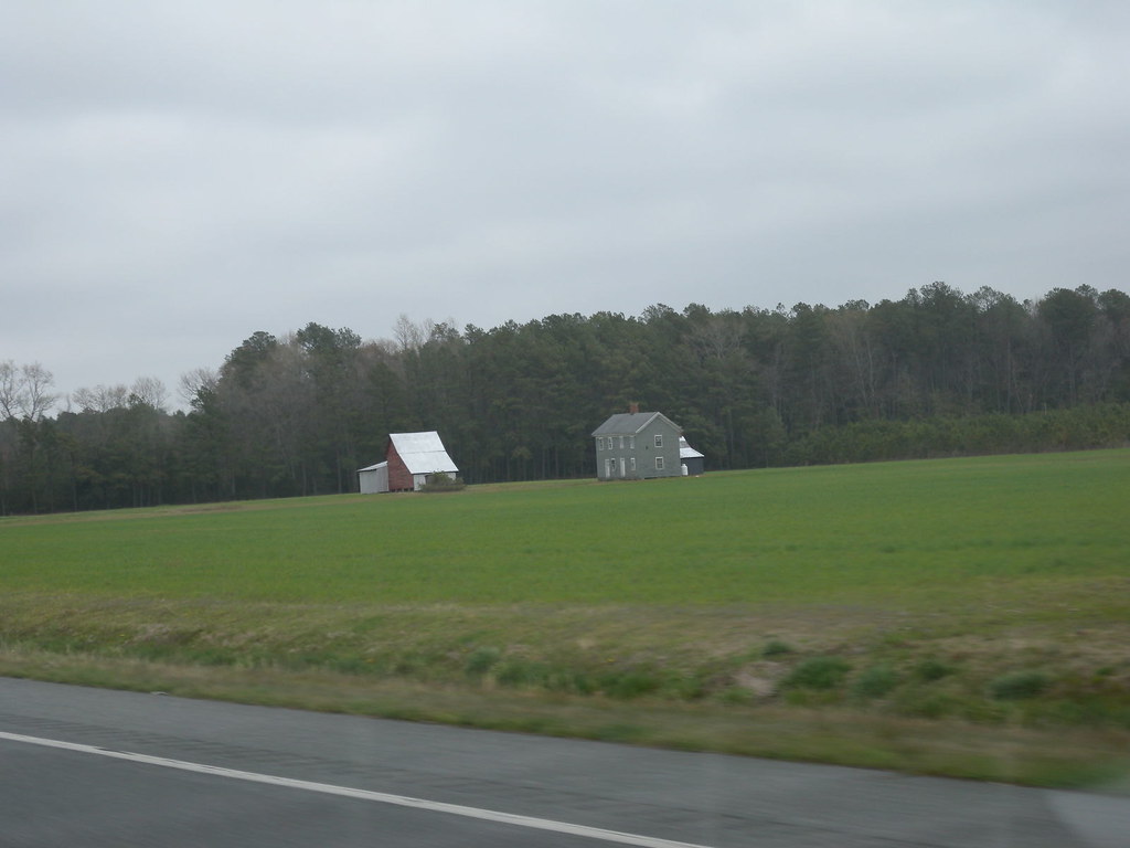
Related Photos:
View from the adirondack chairs at our B&B
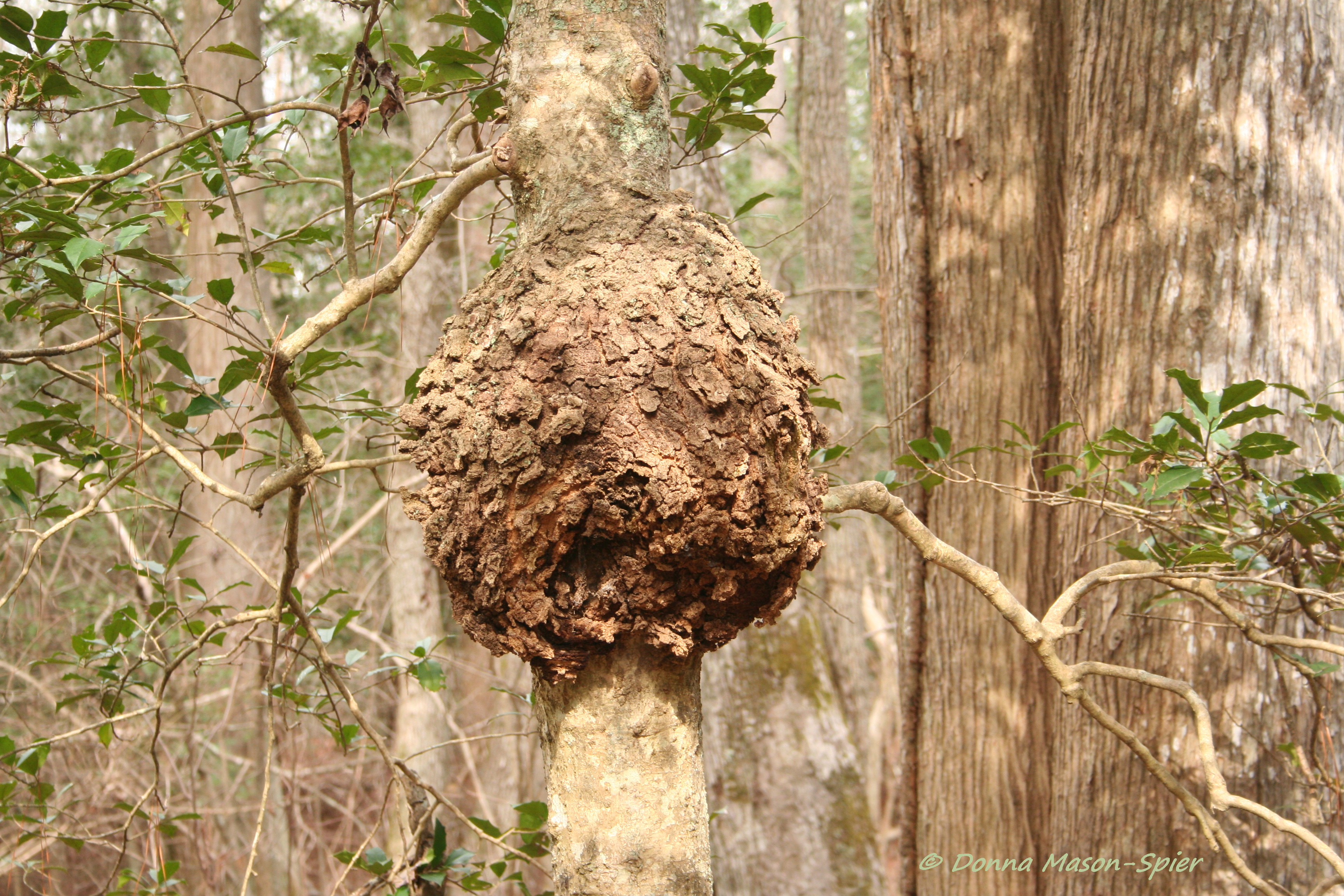
holly+burl_Nassawango,MD_©DonnaMason-Spier_D076429©

View from our porch at breakfast

View while drinking my morning coffee. Two hours after I usually drink it. #lifeisgood #vacation

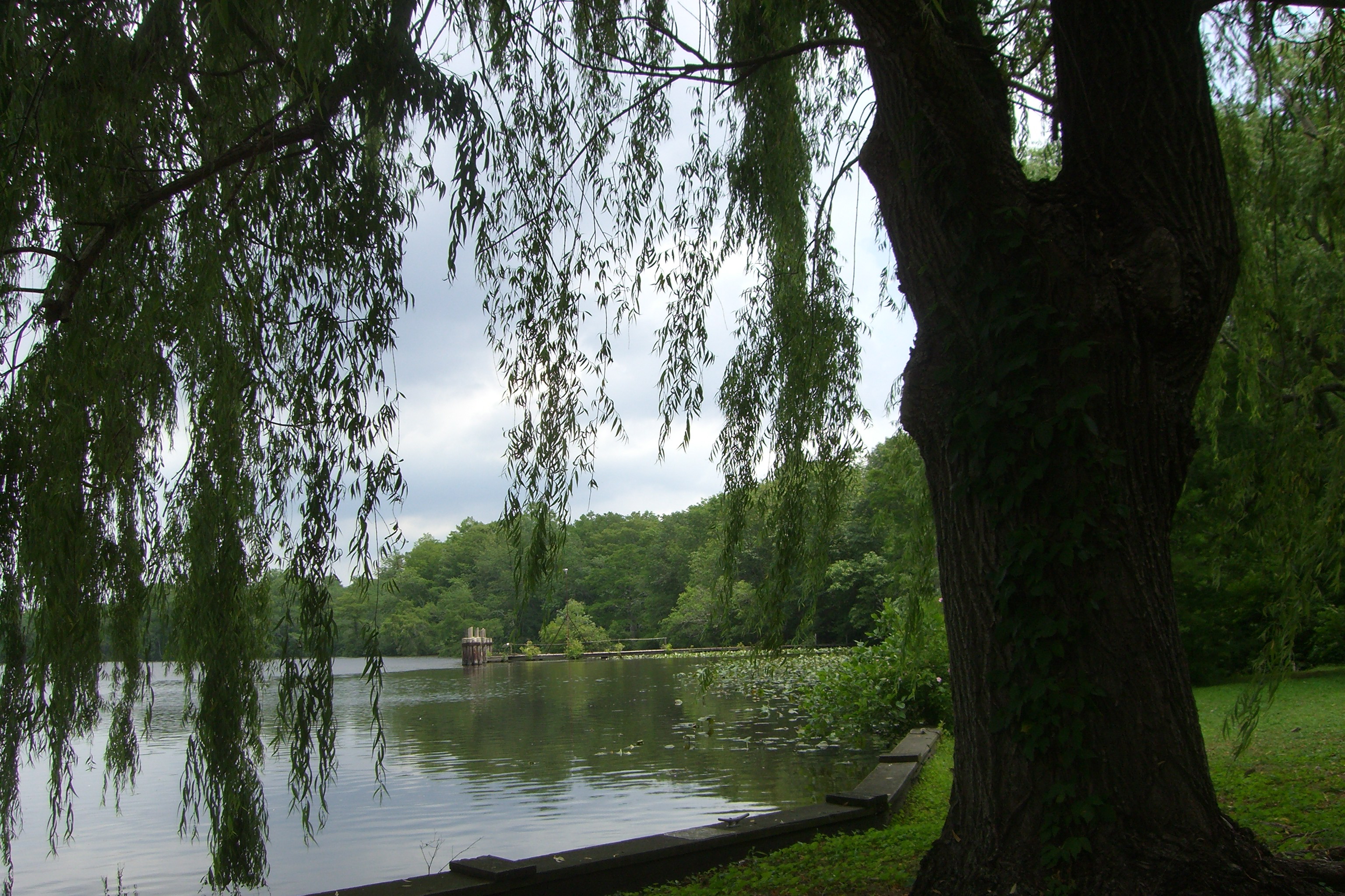
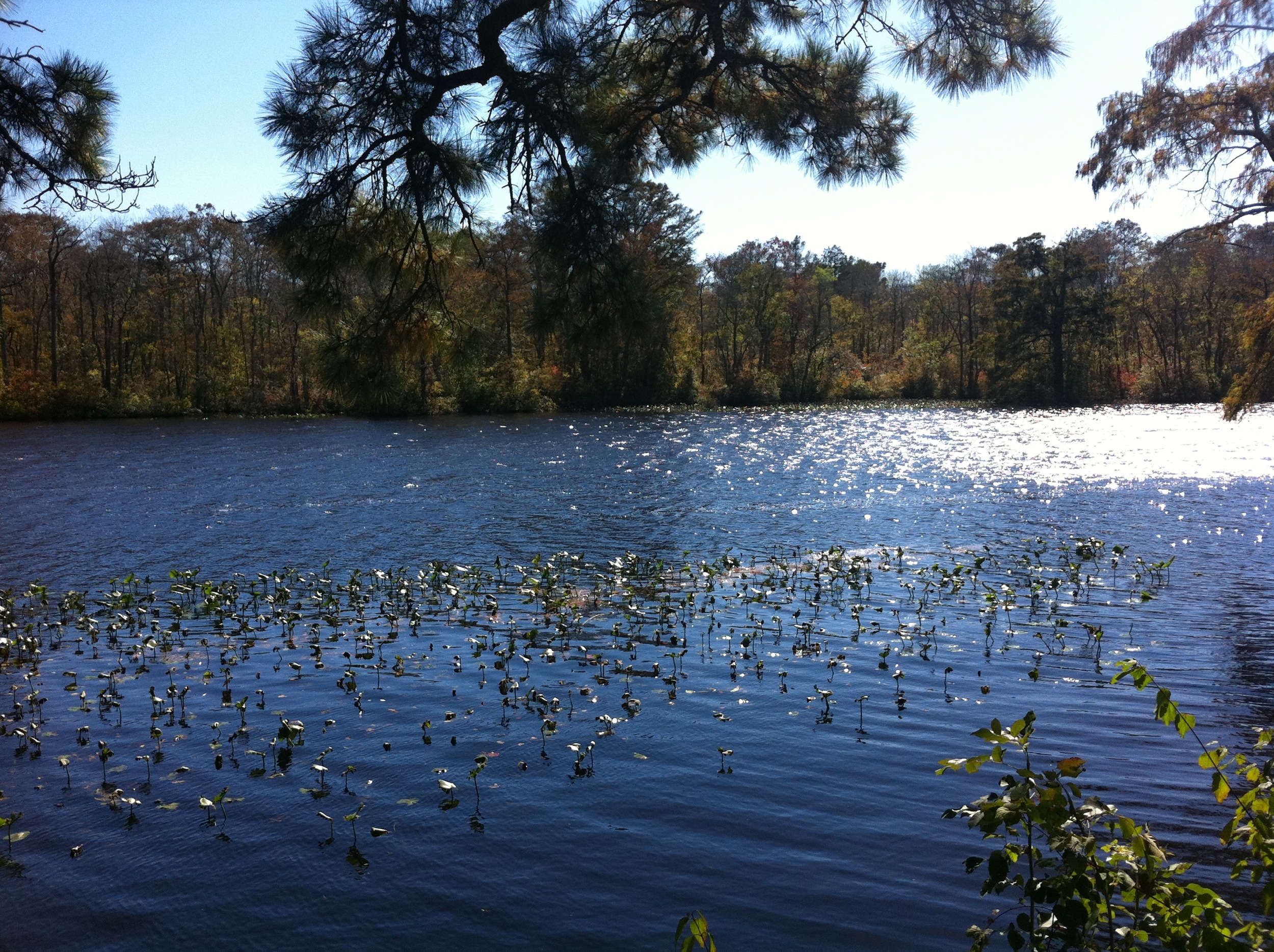
River View
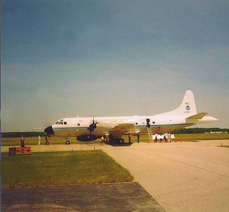
NOAA Hurricane Hunter Airplane
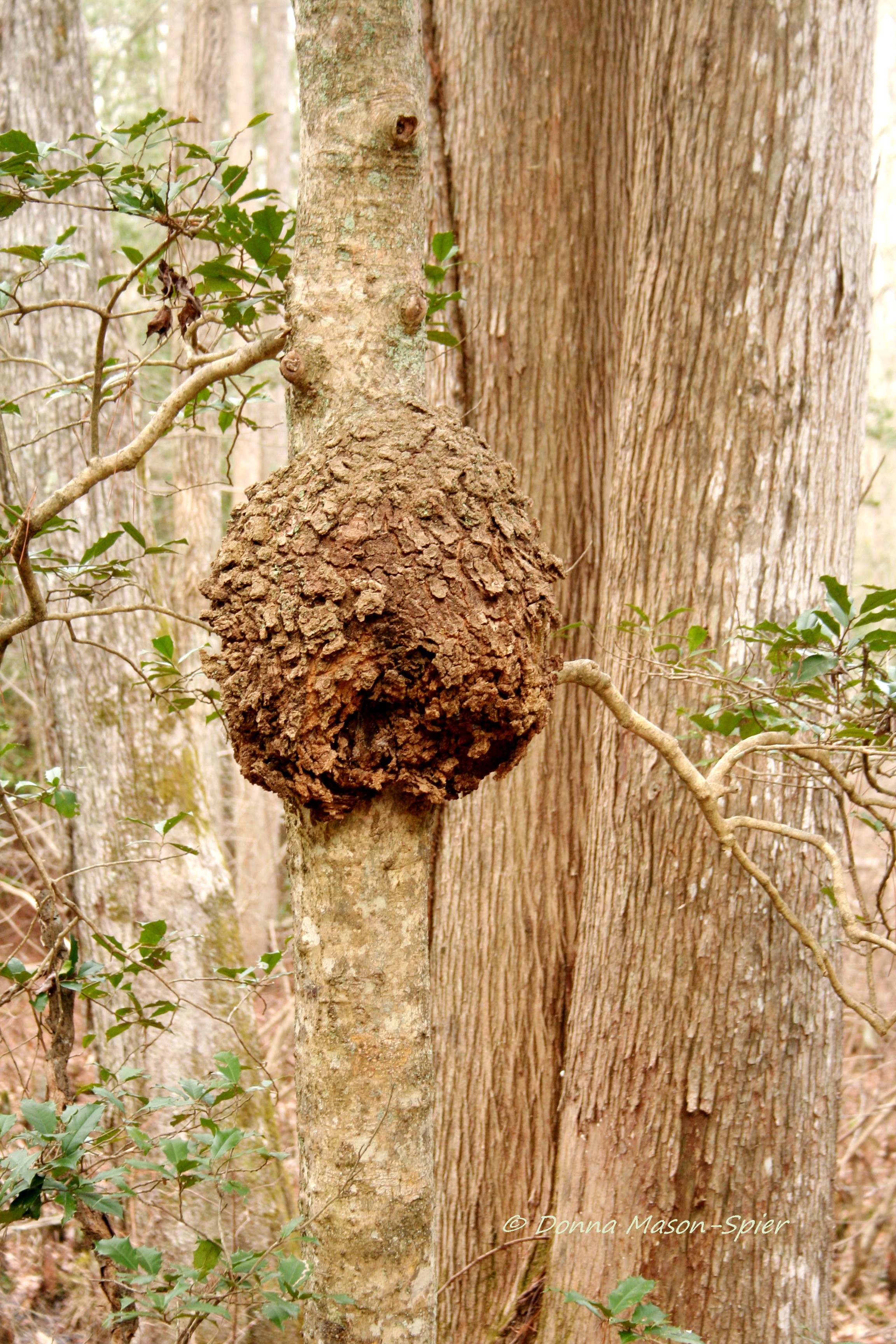
holly+burl_Nassawango,MD_©DonnaMason-Spier_D076428©a
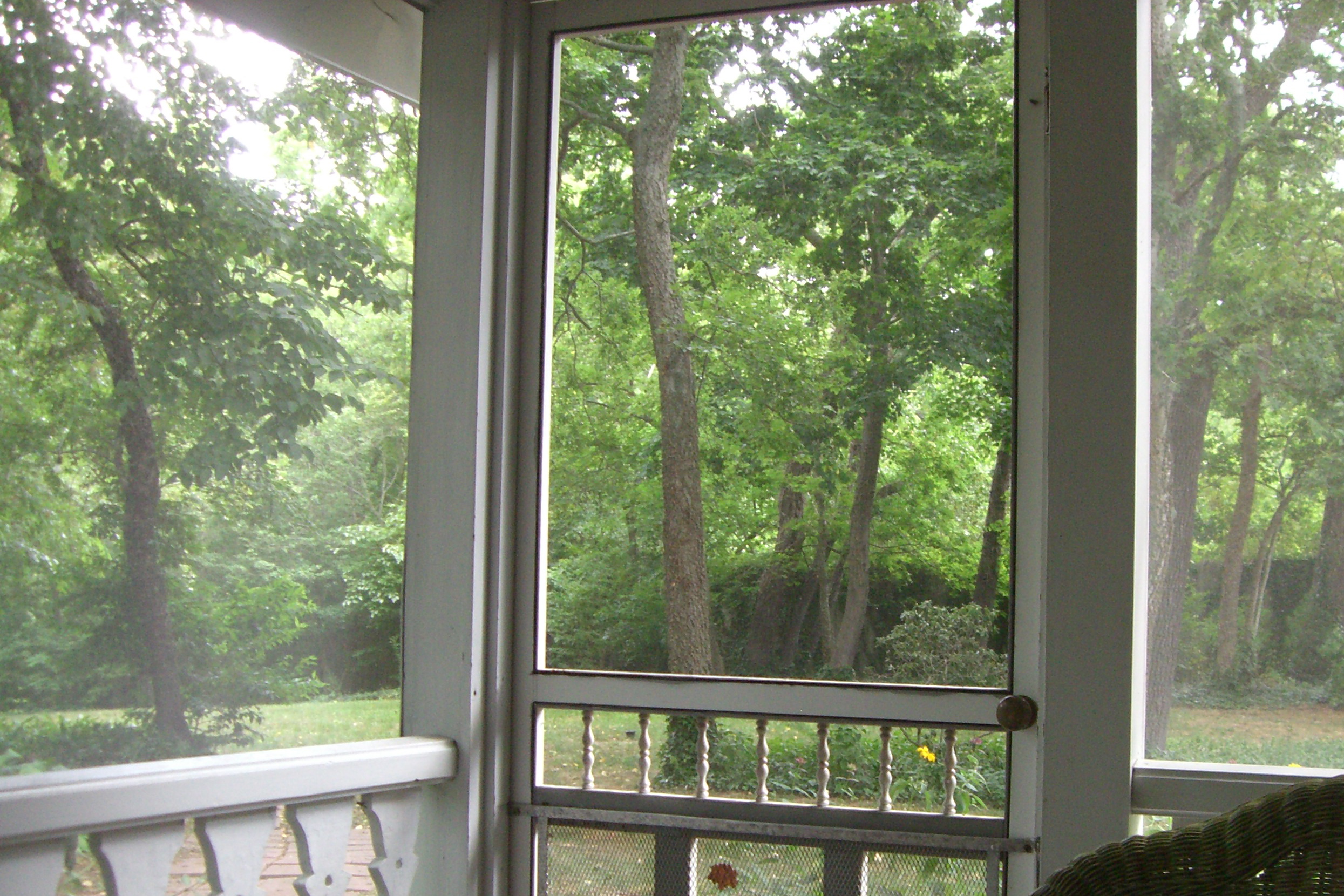
View from our porch at breakfast
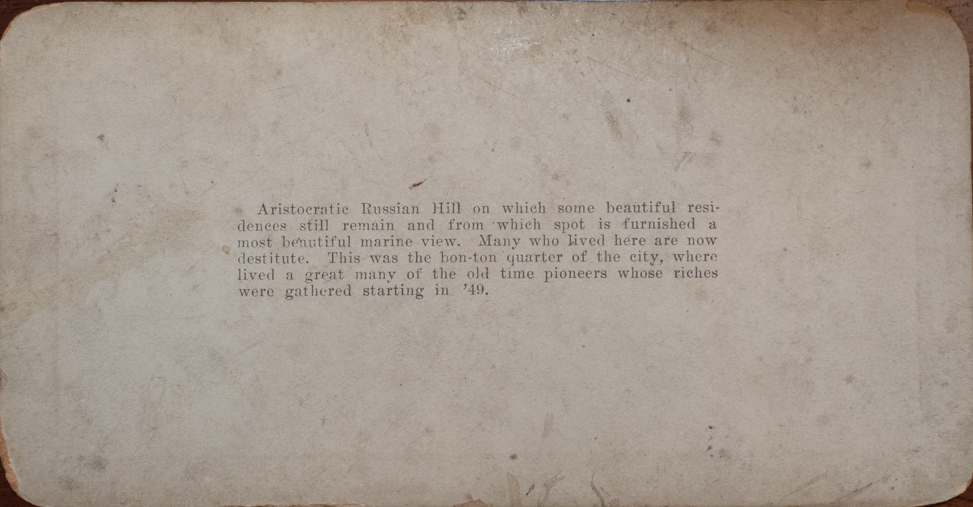
San Francisco Stereoscope Card Back
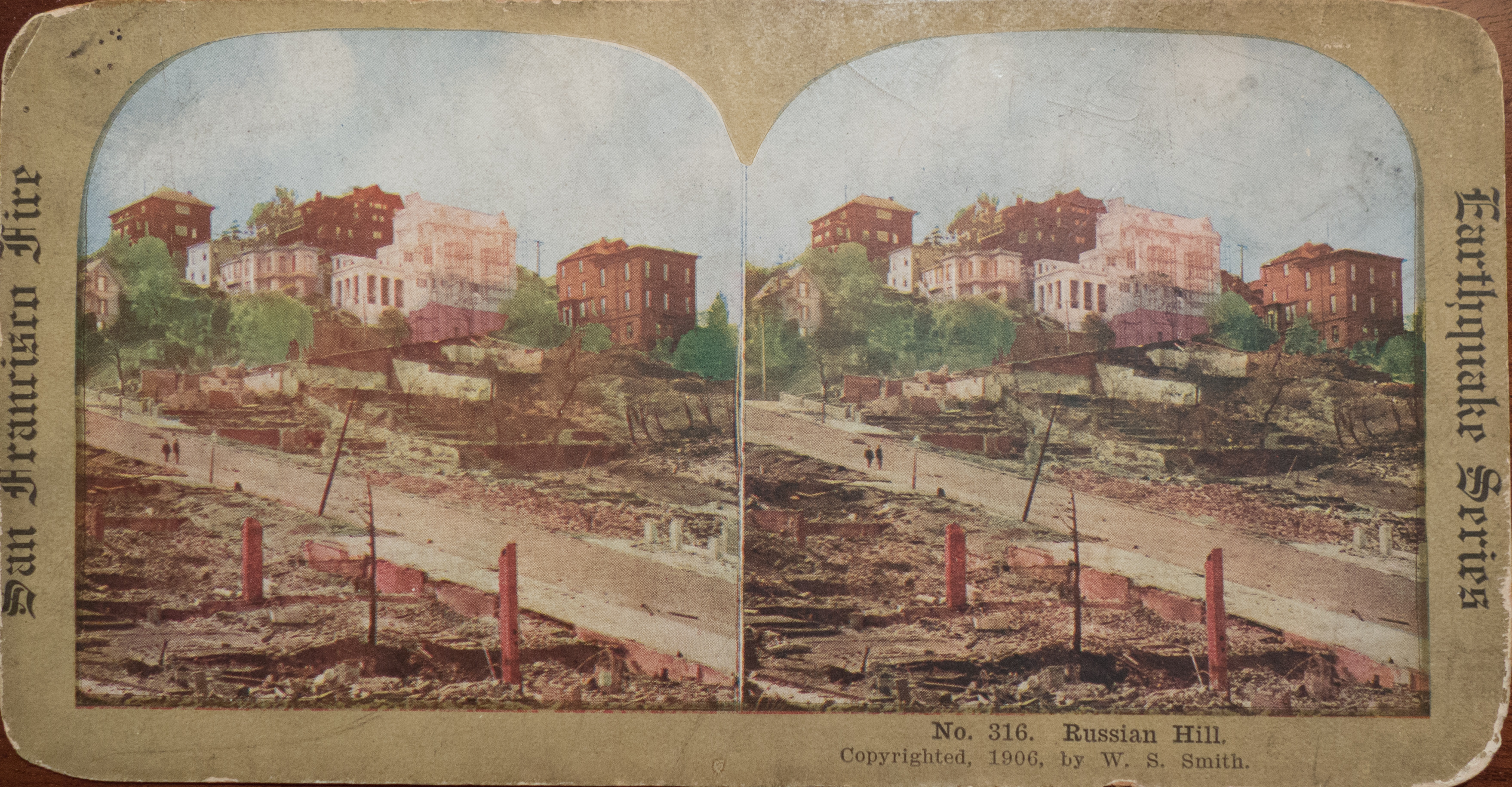
San Francisco Stereoscope Card
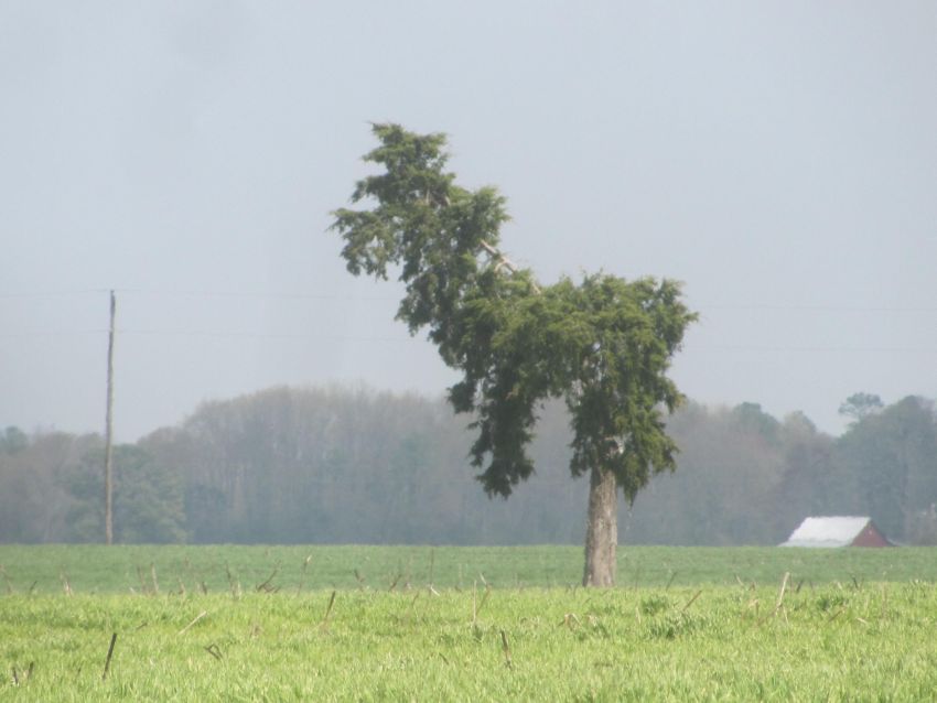
Llama or Dog?

View from the adirondack chairs at our B&B
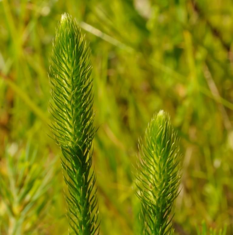
Bog Lycopodium

The river at dusk

National Aquarium Stream Challenge
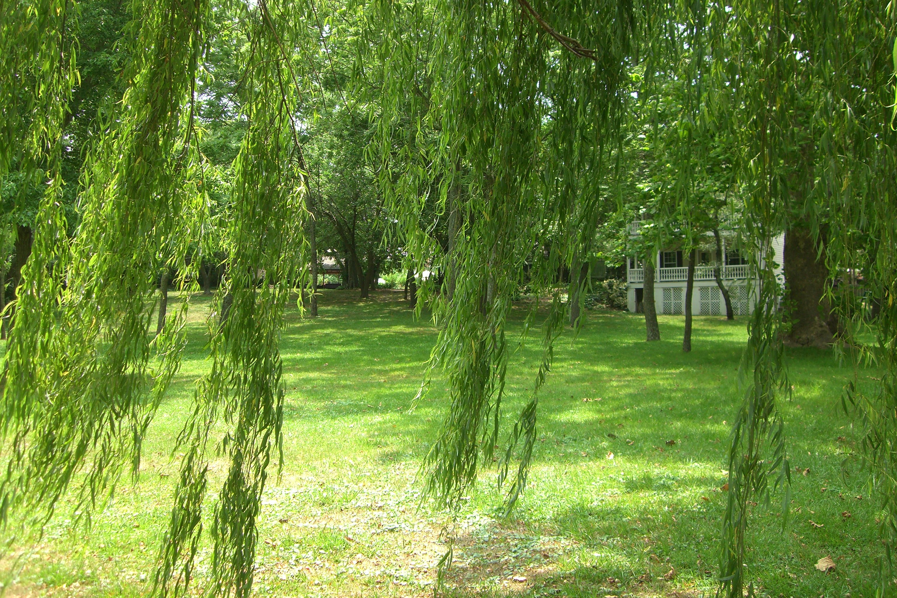
The grounds at the River House Inn

Bear Swamp Road

Crazy eastern shore sunset tonight on our way down to Cape Charles. It looked like the horizon was on fire!

AT-6 Texan Boneyard
Camera Roll-244
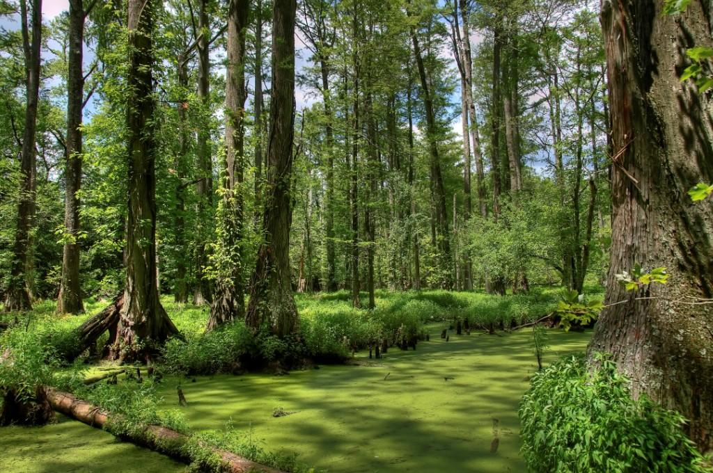
Maryland's Best Cypress Swamp - 2

Salisbury-Wicomico County Airport Maryland.

Maryland's Best Cypress Swamp - 1

al's farm
DSCN5845.JPG
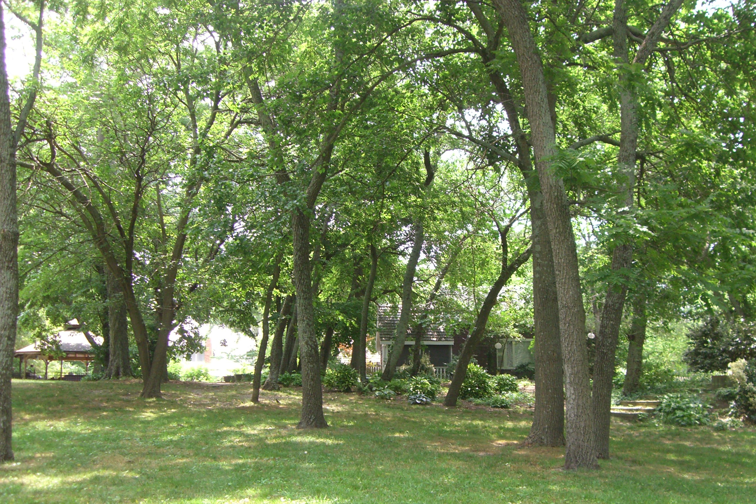
The grounds at the River House Inn

2016.05.04.5175 Rain on Needles

2016.05.04.5166 Rain on Leaves

2016.05.04.5120 Cypress Knee
2016.05.04.5054 Pocomoke

2016.05.04.5046 Pocomoke
Topographic Map of Ridge Rd, Snow Hill, MD, USA
Find elevation by address:

Places near Ridge Rd, Snow Hill, MD, USA:
6722 Lenape Pl
7, Atkinsons
St Lukes Rd, Salisbury, MD, USA
7735 Snow Hill Rd
Scotty Rd, Snow Hill, MD, USA
Worcester County
Mt Olive Rd, Salisbury, MD, USA
Whiteburg
River Street
Wildwood Trail
305 W Federal St
Snow Hill
Green Street
106 E Market St
305 Park Row
Dog House Drive
203 S Washington St
206 Coulbourne Ln
2834 Coulbourn Mill Rd
3824 Coulbourn Mill Rd
Recent Searches:
- Elevation of Corso Fratelli Cairoli, 35, Macerata MC, Italy
- Elevation of Tallevast Rd, Sarasota, FL, USA
- Elevation of 4th St E, Sonoma, CA, USA
- Elevation of Black Hollow Rd, Pennsdale, PA, USA
- Elevation of Oakland Ave, Williamsport, PA, USA
- Elevation of Pedrógão Grande, Portugal
- Elevation of Klee Dr, Martinsburg, WV, USA
- Elevation of Via Roma, Pieranica CR, Italy
- Elevation of Tavkvetili Mountain, Georgia
- Elevation of Hartfords Bluff Cir, Mt Pleasant, SC, USA