Elevation of Snow Hill, MD, USA
Location: United States > Maryland > Worcester County > 2, Snow Hill >
Longitude: -75.3926959
Latitude: 38.1770634
Elevation: 4m / 13feet
Barometric Pressure: 0KPa
Related Photos:

Taylors Landing Boathouses At Night

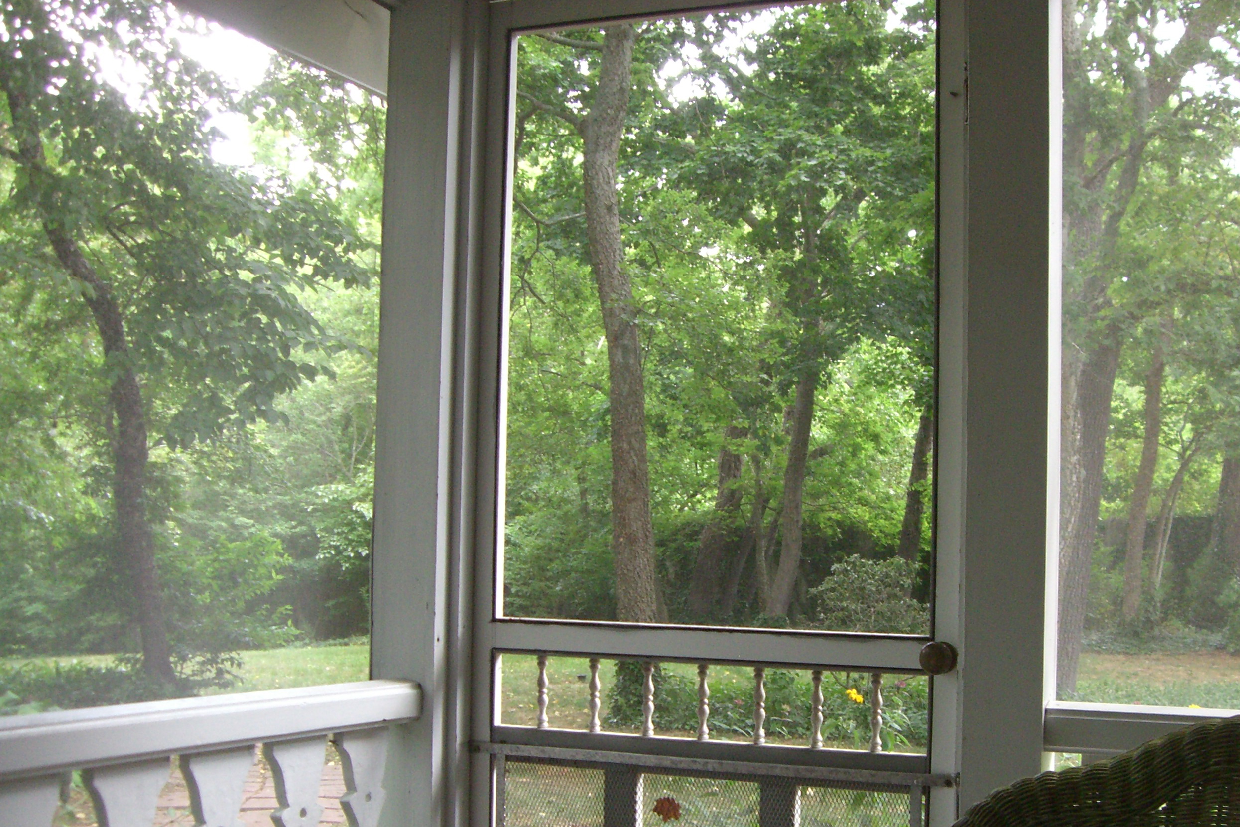
View from the adirondack chairs at our B&B

Taylors Landing At Night
View from the adirondack chairs at our B&B

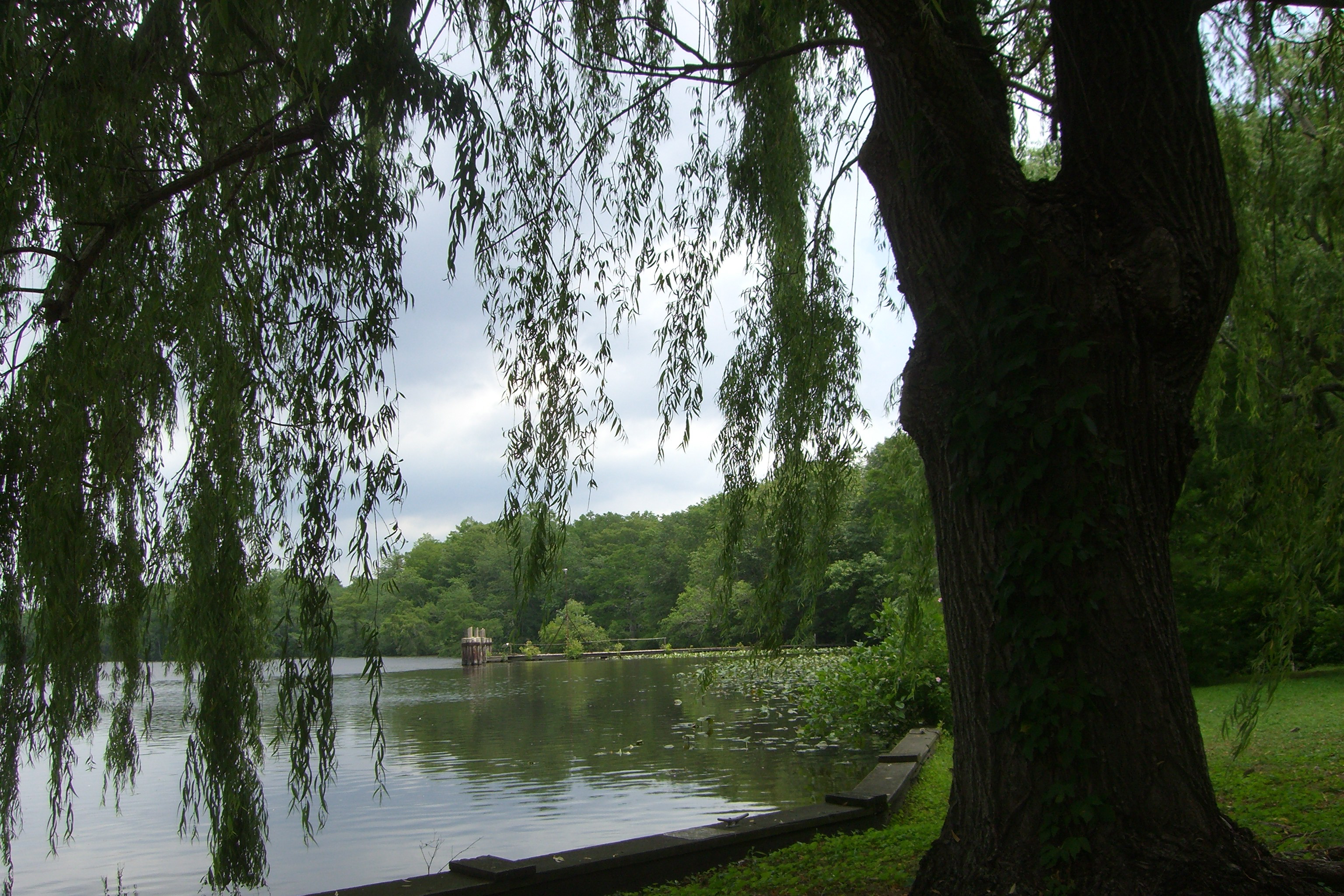
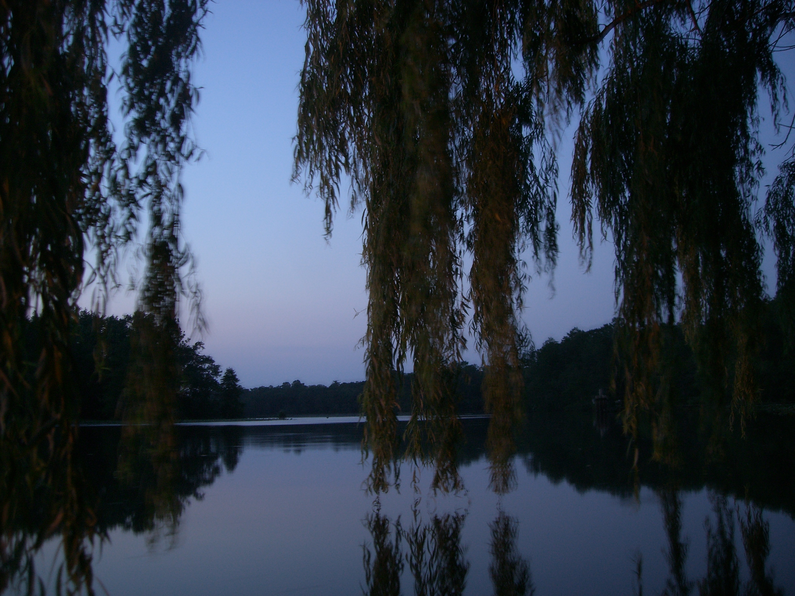
Taylors Landing Moonrise

Overgrown Garage
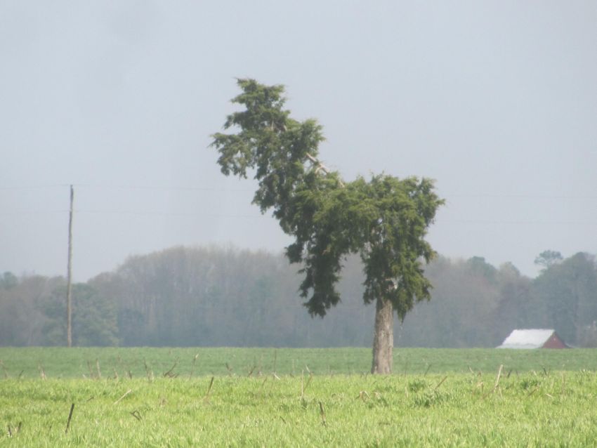
Llama or Dog?
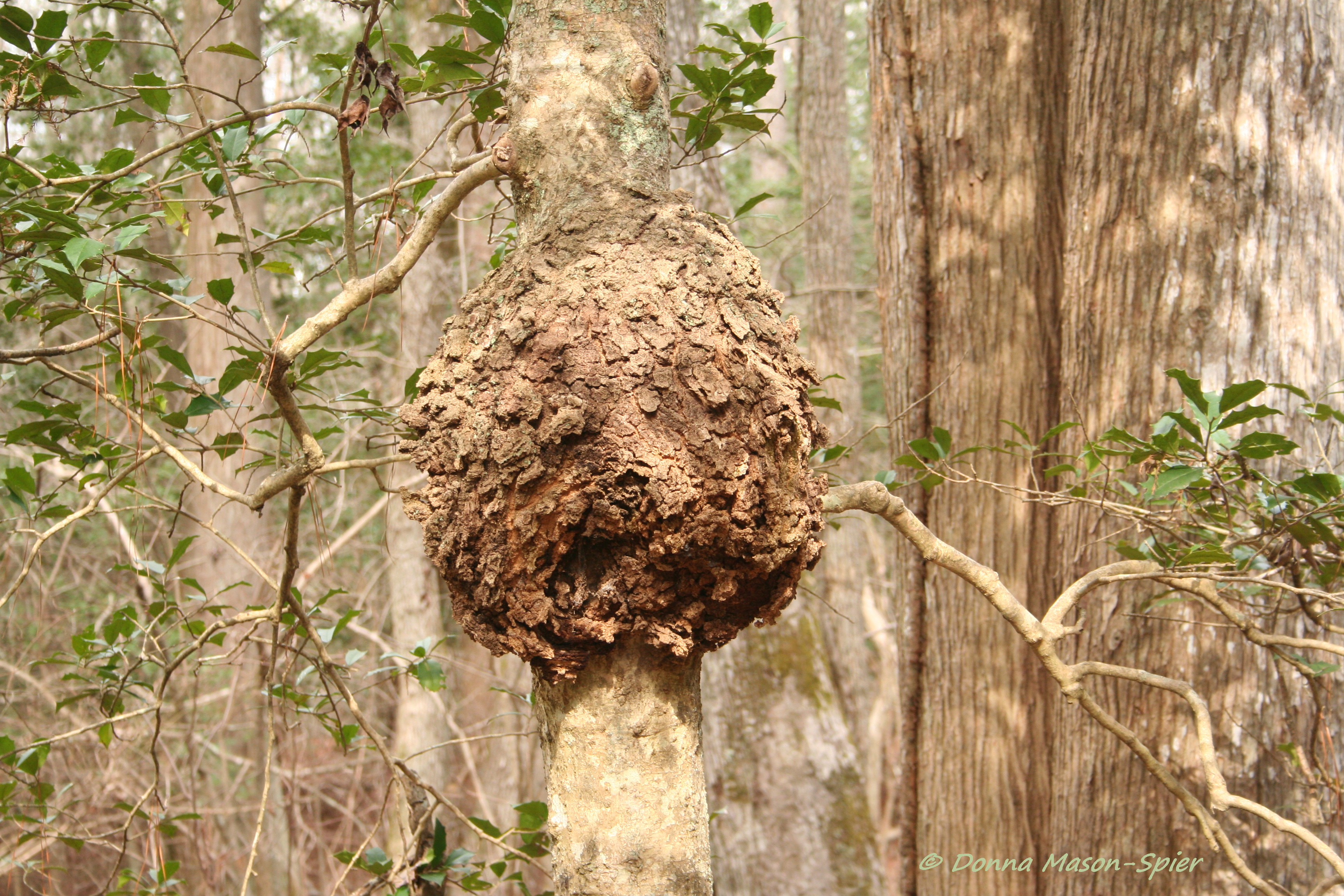
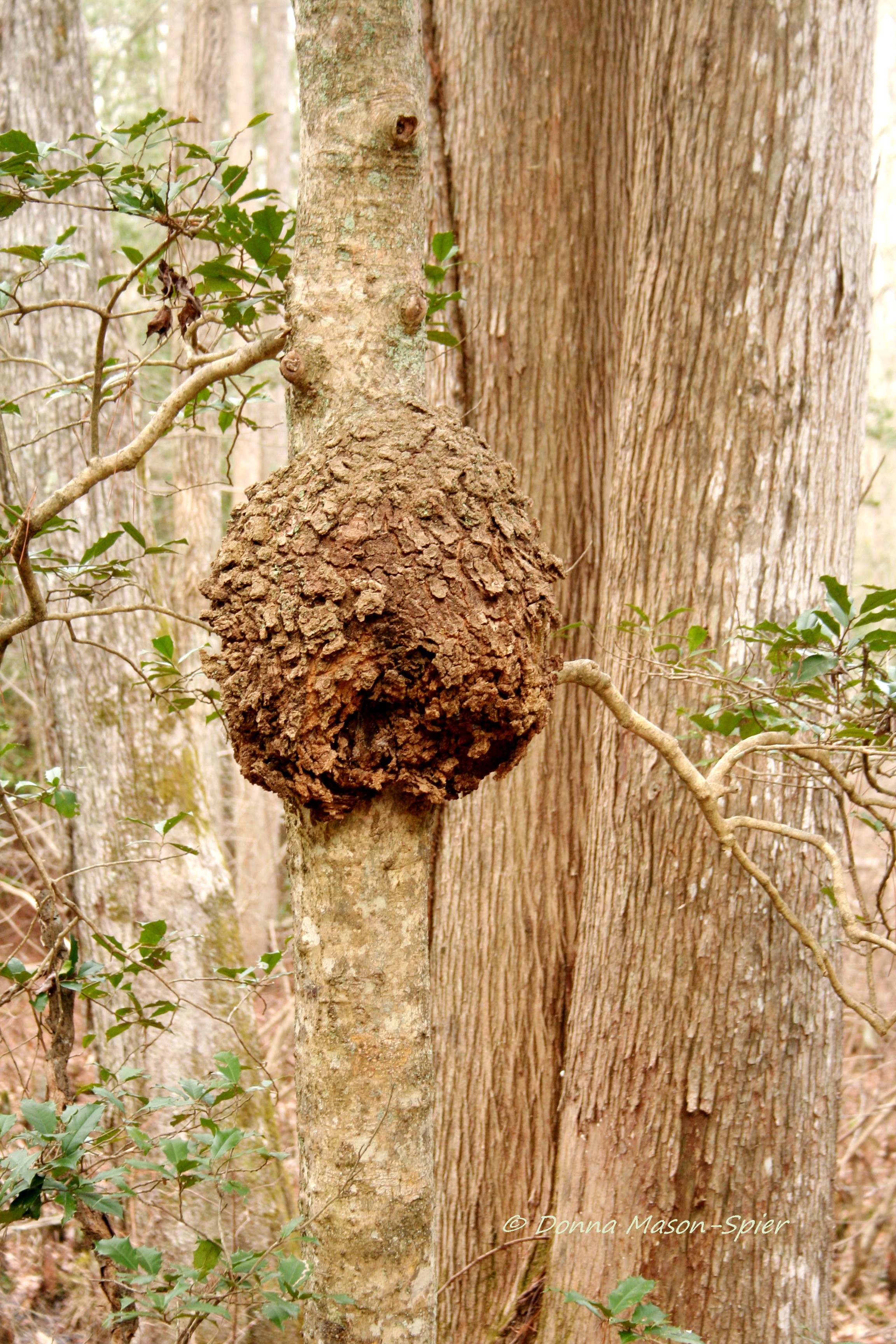
holly+burl_Nassawango,MD_©DonnaMason-Spier_D076429©

Taylors Landing Moonrise
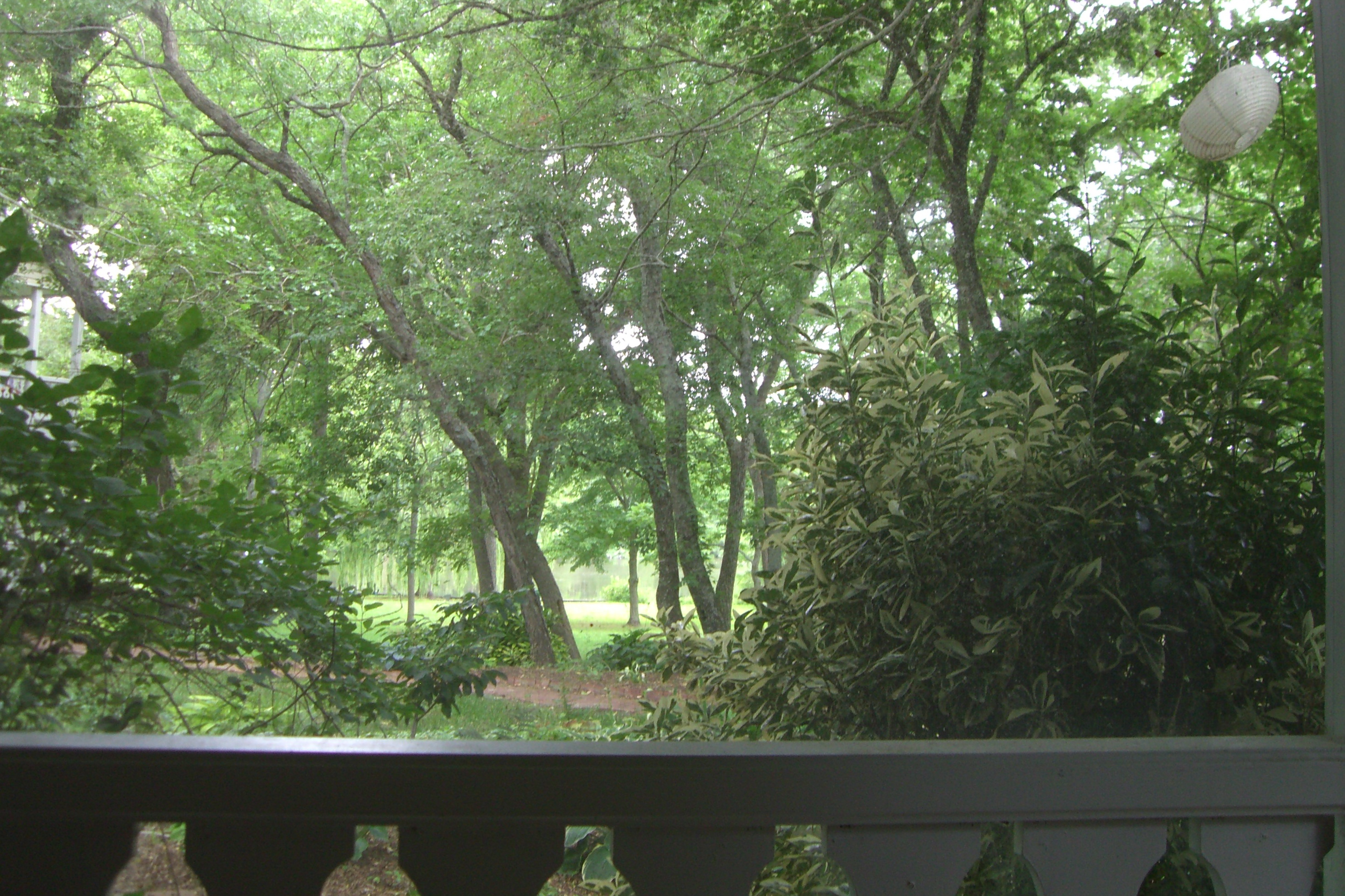
View from our porch at breakfast

Taylors Landing Fishing Wharf At Moonrise
holly+burl_Nassawango,MD_©DonnaMason-Spier_D076428©a
View from our porch at breakfast
View while drinking my morning coffee. Two hours after I usually drink it. #lifeisgood #vacation

Taylor Landing Boat Houses In Winter
The river at dusk

Osprey Triathlon

Beach camping
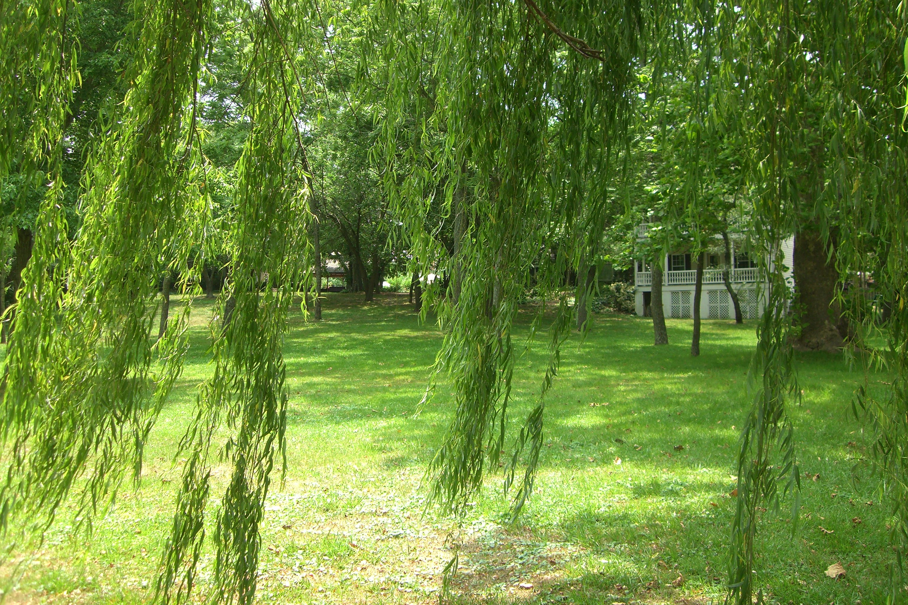
The grounds at the River House Inn

Bear Swamp Road

Crazy eastern shore sunset tonight on our way down to Cape Charles. It looked like the horizon was on fire!
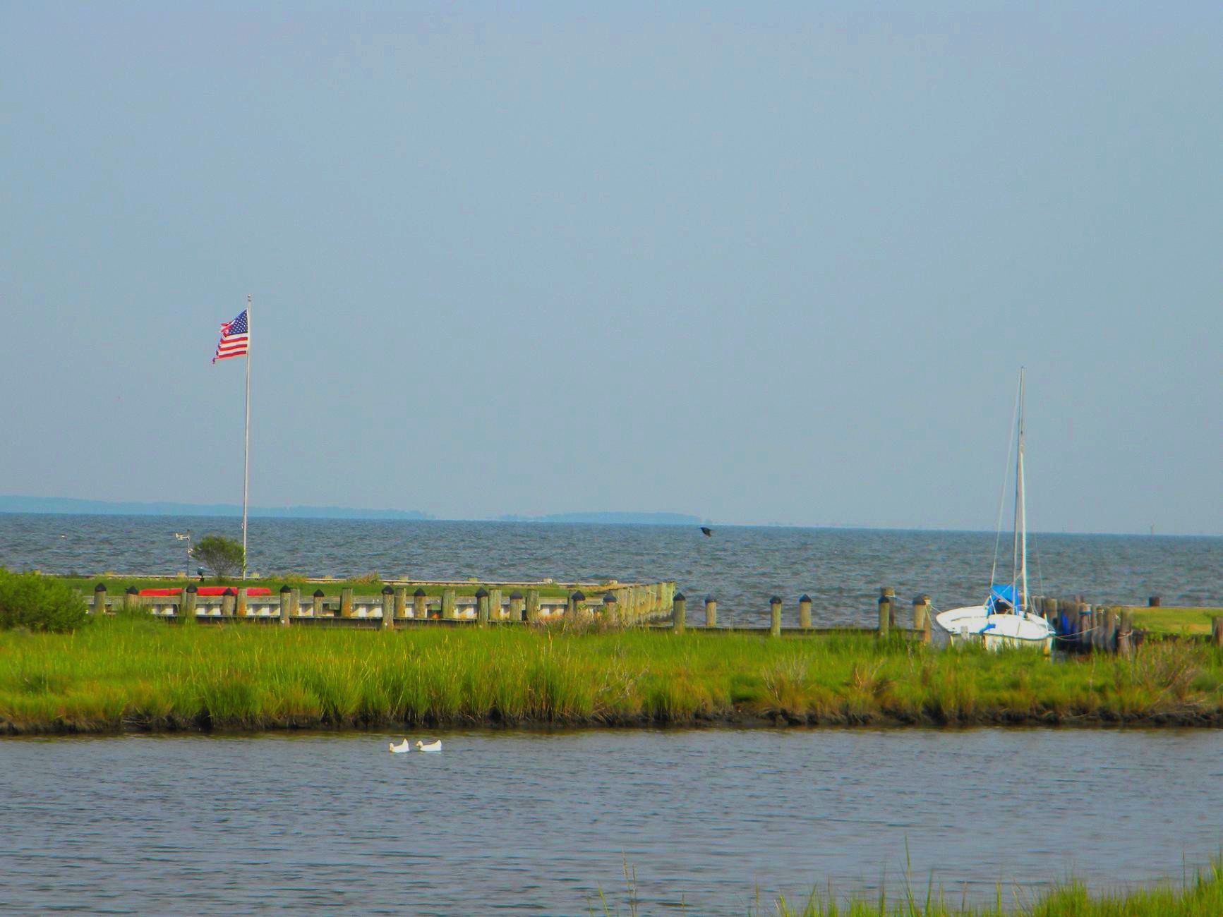
Public Landing, MD

Public Landing, MD
Camera Roll-244
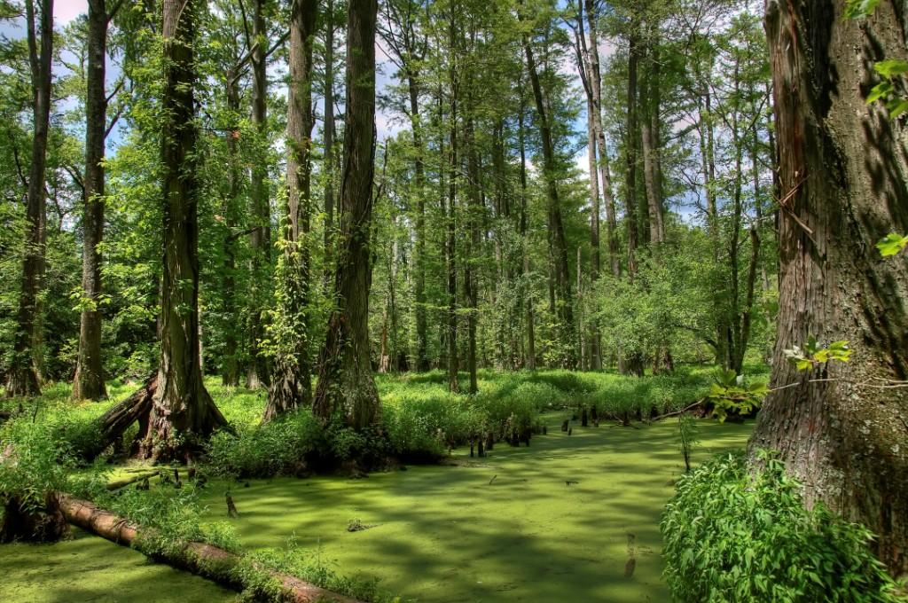
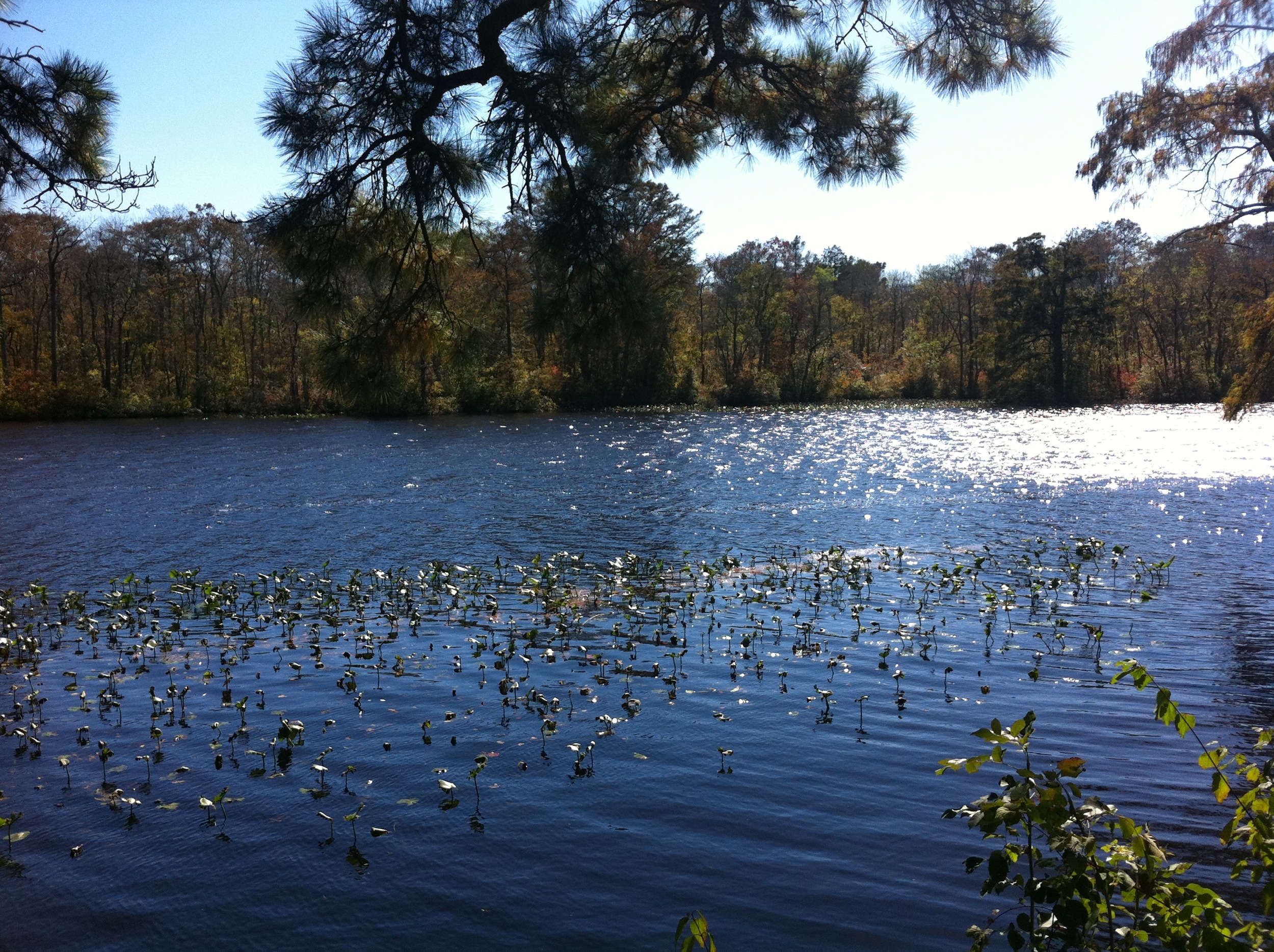
Maryland's Best Cypress Swamp - 2

Public Landing, MD

LISP_2014-12-29_JDFARM_0008C

Maryland's Best Cypress Swamp - 1
Camera Roll-239
Camera Roll-237
Public Landing, MD
Camera Roll-238
DSCN5845.JPG
Topographic Map of Snow Hill, MD, USA
Find elevation by address:

Places in Snow Hill, MD, USA:
Tanhouse Road
Ridge Rd, Snow Hill, MD, USA
7252 Ayres Ln Rd
Scotts Landing Rd, Snow Hill, MD, USA
7709 Scotts Landing Rd
7711 Scotts Landing Rd
305 Park Row
206 Coulbourne Ln
4038 Paw Paw Creek Rd
203 S Washington St
3919 Paw Paw Creek Rd
Scotland Rd, Snow Hill, MD, USA
8236 Public Landing Rd
Green Street
River Street
106 E Market St
305 W Federal St
6722 Lenape Pl
Places near Snow Hill, MD, USA:
Green Street
106 E Market St
River Street
305 Park Row
203 S Washington St
305 W Federal St
206 Coulbourne Ln
2, Snow Hill
Worcester County
Scotland Rd, Snow Hill, MD, USA
6722 Lenape Pl
Ridge Rd, Snow Hill, MD, USA
Scotty Rd, Snow Hill, MD, USA
8236 Public Landing Rd
7, Atkinsons
Newark Rd, Newark, MD, USA
Newark
6, Dennis
Whiteburg
Wildwood Trail
Recent Searches:
- Elevation map of Greenland, Greenland
- Elevation of Sullivan Hill, New York, New York, 10002, USA
- Elevation of Morehead Road, Withrow Downs, Charlotte, Mecklenburg County, North Carolina, 28262, USA
- Elevation of 2800, Morehead Road, Withrow Downs, Charlotte, Mecklenburg County, North Carolina, 28262, USA
- Elevation of Yangbi Yi Autonomous County, Yunnan, China
- Elevation of Pingpo, Yangbi Yi Autonomous County, Yunnan, China
- Elevation of Mount Malong, Pingpo, Yangbi Yi Autonomous County, Yunnan, China
- Elevation map of Yongping County, Yunnan, China
- Elevation of North 8th Street, Palatka, Putnam County, Florida, 32177, USA
- Elevation of 107, Big Apple Road, East Palatka, Putnam County, Florida, 32131, USA
- Elevation of Jiezi, Chongzhou City, Sichuan, China
- Elevation of Chongzhou City, Sichuan, China
- Elevation of Huaiyuan, Chongzhou City, Sichuan, China
- Elevation of Qingxia, Chengdu, Sichuan, China
- Elevation of Corso Fratelli Cairoli, 35, Macerata MC, Italy
- Elevation of Tallevast Rd, Sarasota, FL, USA
- Elevation of 4th St E, Sonoma, CA, USA
- Elevation of Black Hollow Rd, Pennsdale, PA, USA
- Elevation of Oakland Ave, Williamsport, PA, USA
- Elevation of Pedrógão Grande, Portugal