Elevation of St Lukes Rd, Salisbury, MD, USA
Location: United States > Maryland > Worcester County > 7, Atkinsons >
Longitude: -75.516415
Latitude: 38.267264
Elevation: 14m / 46feet
Barometric Pressure: 101KPa
Elevation Map:
Satellite Map:
Related Photos:

Park Foliage
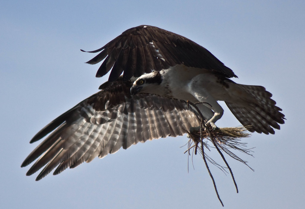
Nest Building: 101
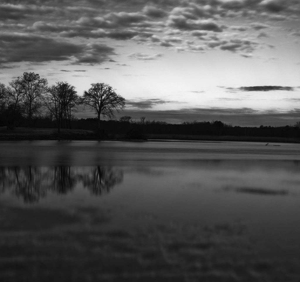
bw version
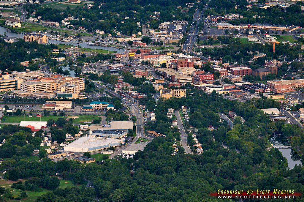
Salisbury, MD

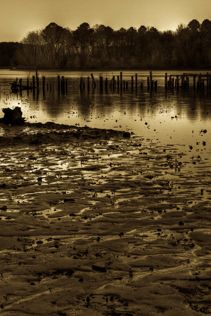
Wicomico River, East Prong
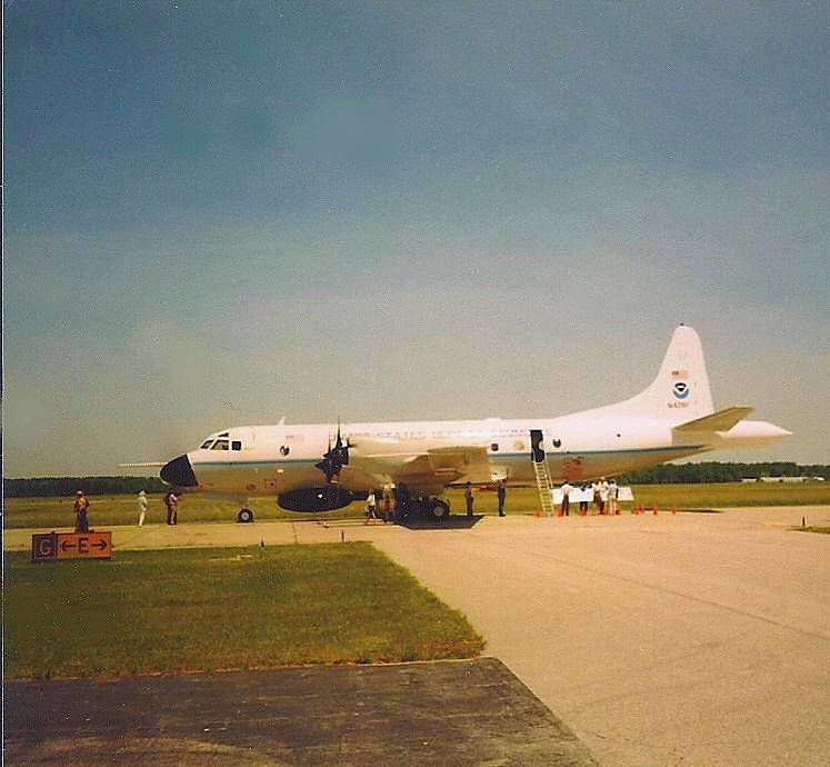
NOAA Hurricane Hunter Airplane
riverside dr salisbury

Park IR
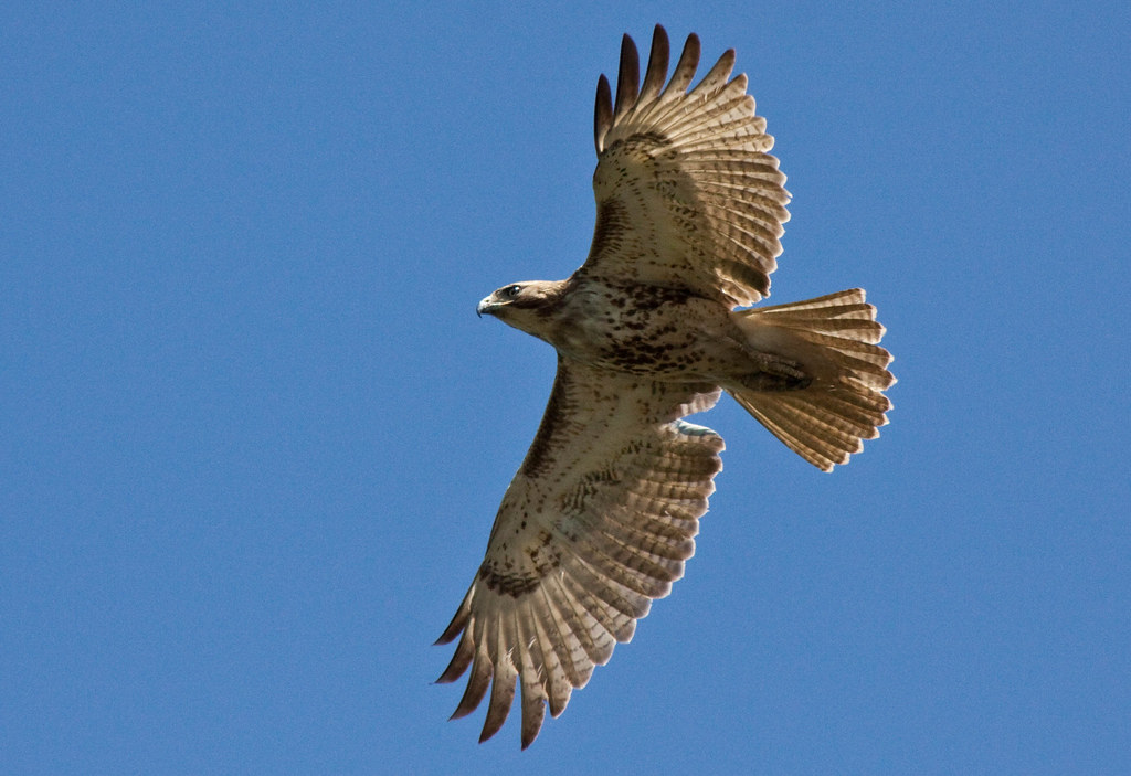
Juvenile RTH

The Path To The Infrarealm
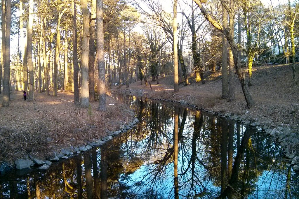
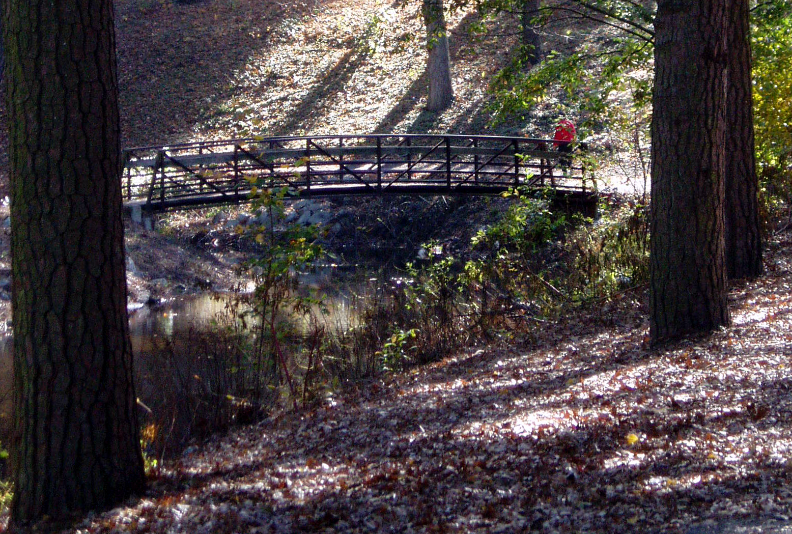
Stream view from a footbridge

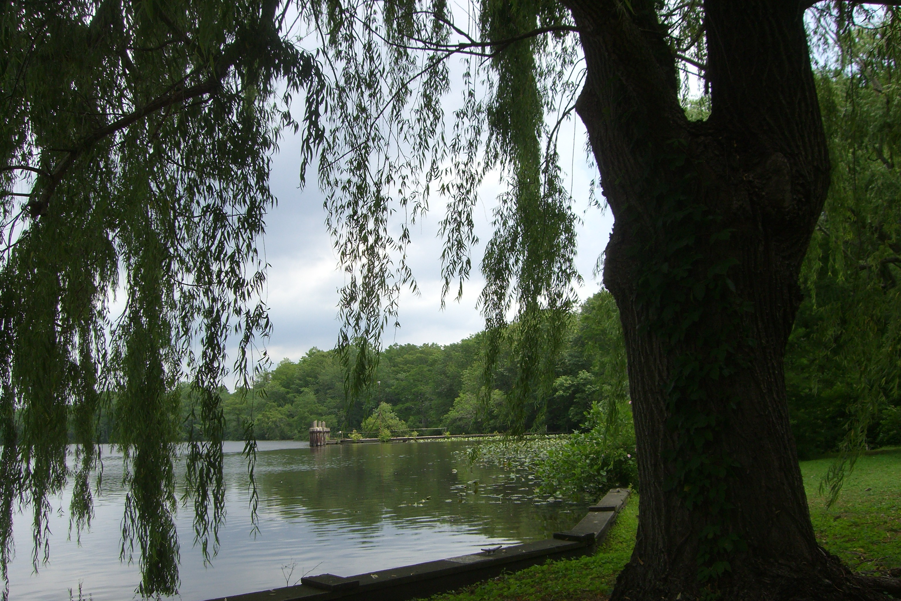
Salisbury City Park
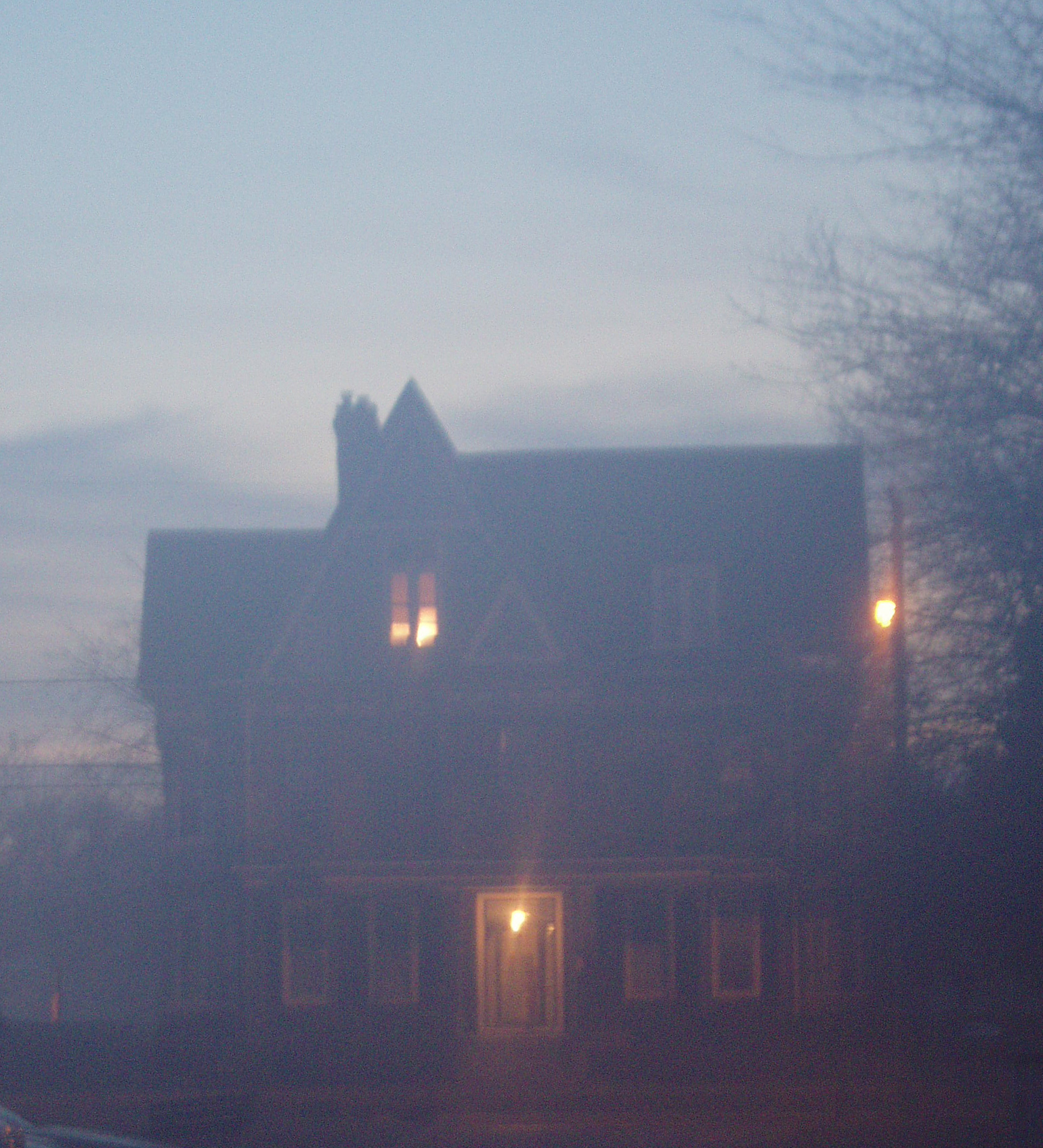
Foggy dawn, Camden Ave., Salisbury

The Blueblack Cold
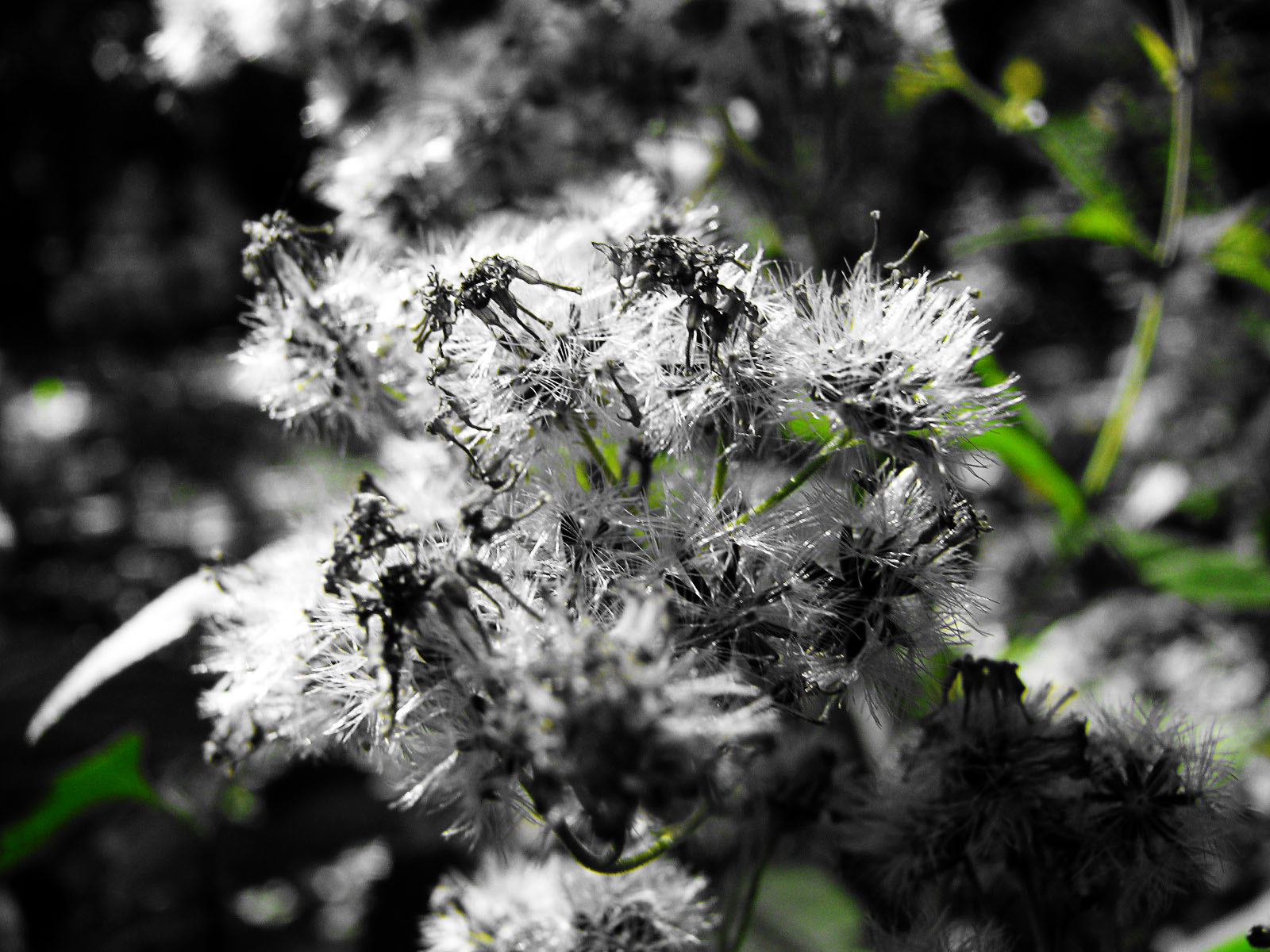
Almost B&W

Stream view from a footbridge

Trinity U.M. Church, Salisbury, Maryland
View from the adirondack chairs at our B&B
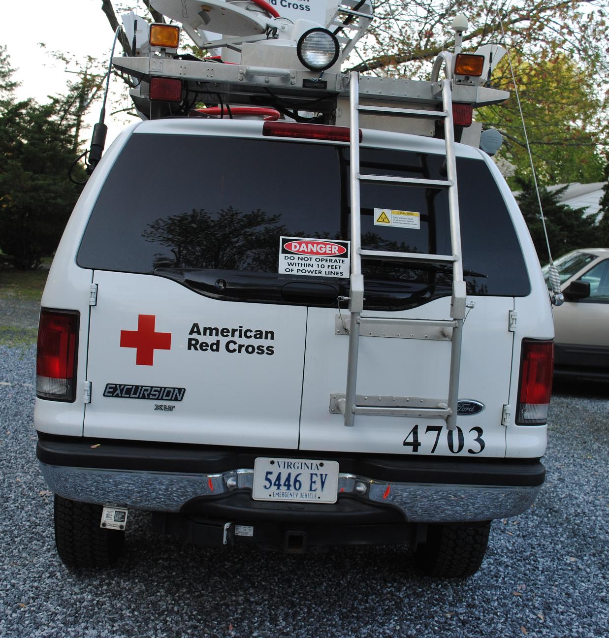
Emergency Communications Response Vehicle (ECRV) 4703
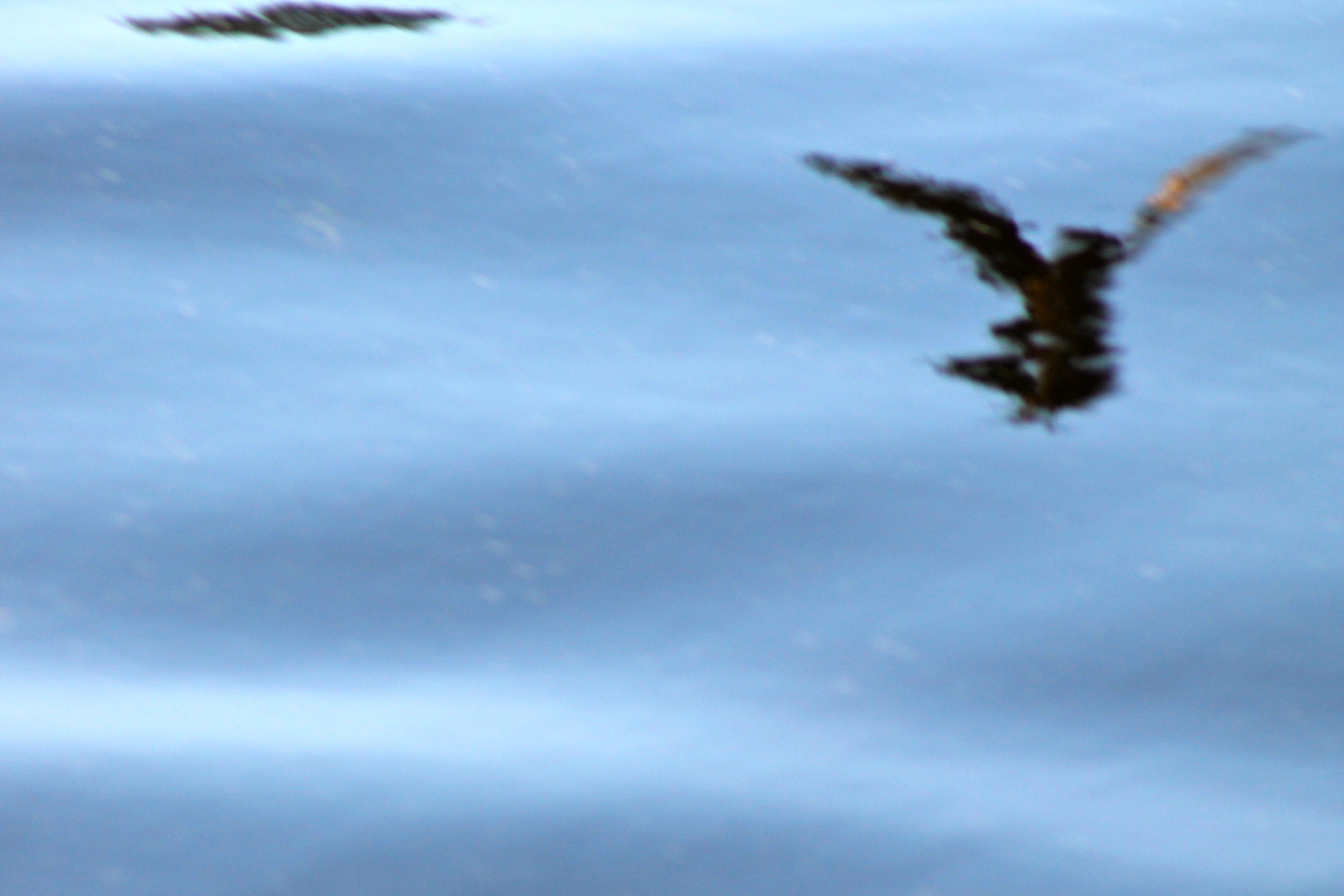
Swallow Reflection
Glory be to God for dappled things

Crazy eastern shore sunset tonight on our way down to Cape Charles. It looked like the horizon was on fire!
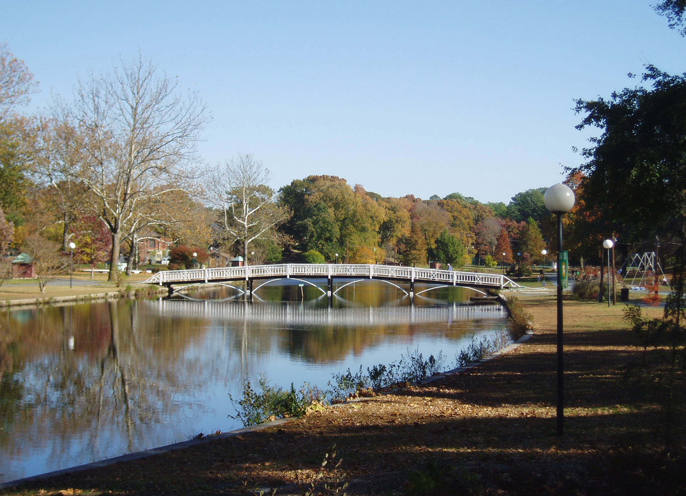
Salisbury City Park
Eden, Maryland

20100924-IMG_1731

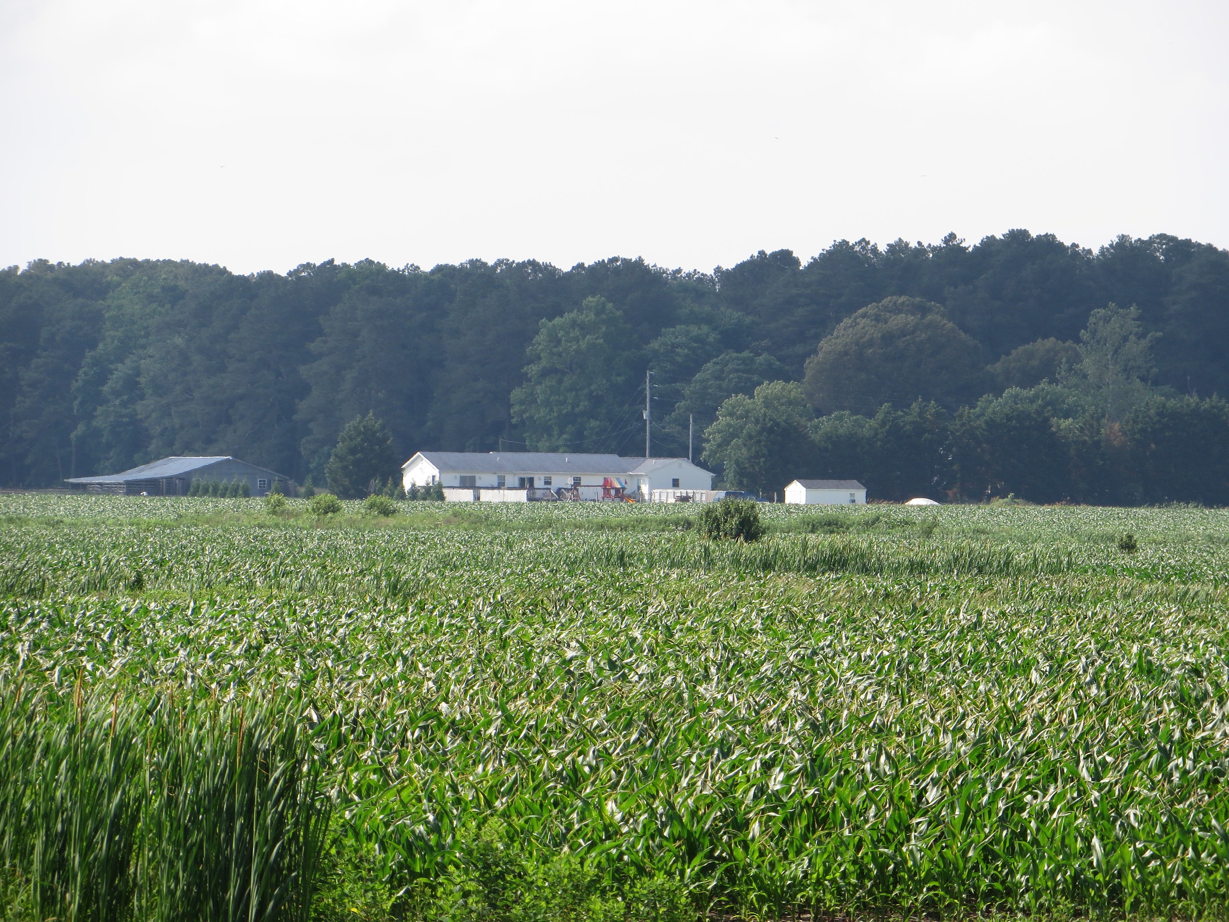
On Peggy's Farm
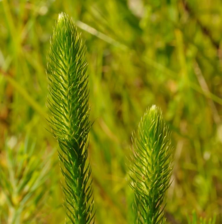
Bog Lycopodium
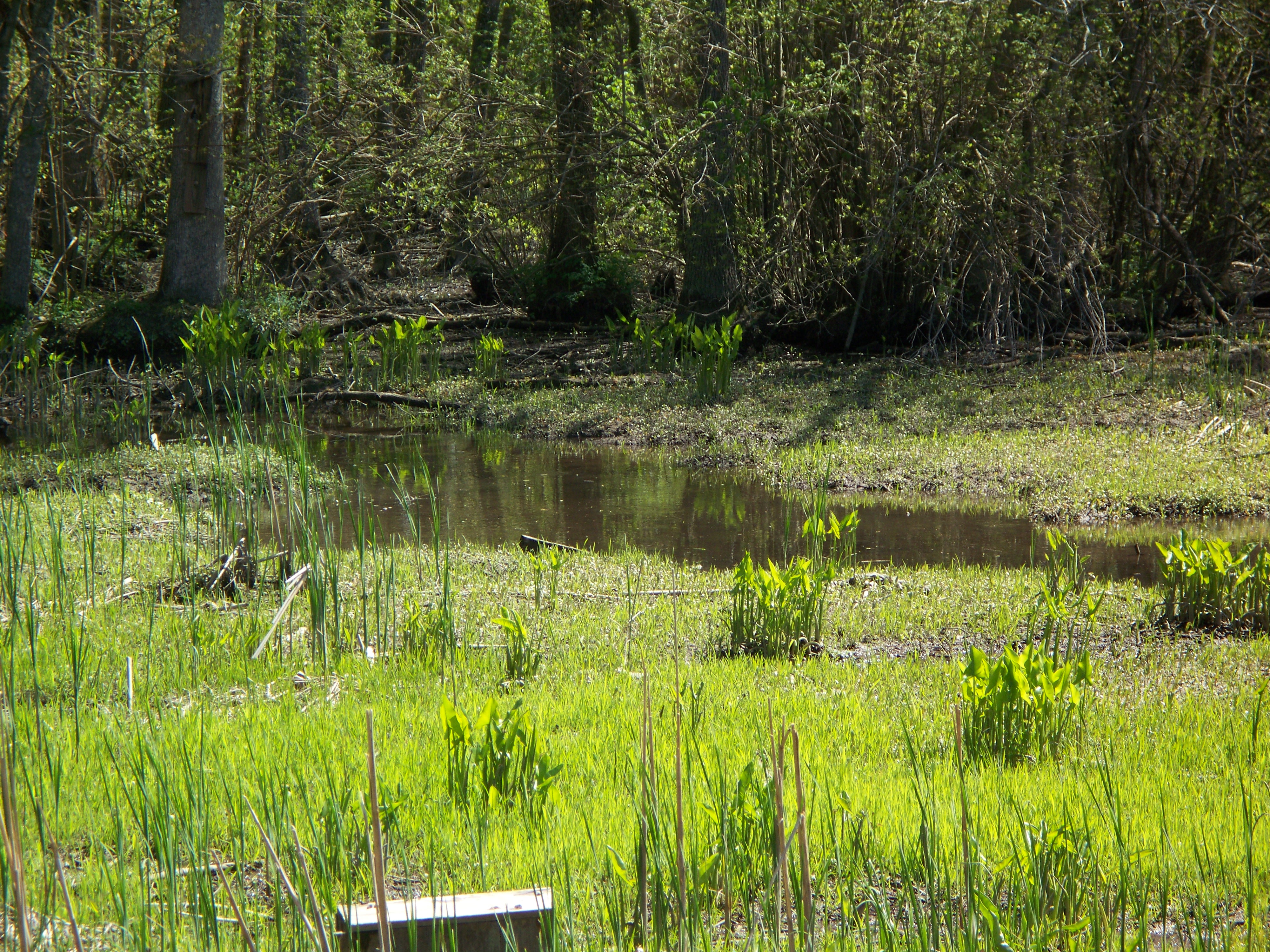
Marsh at Pemberton Historic Park
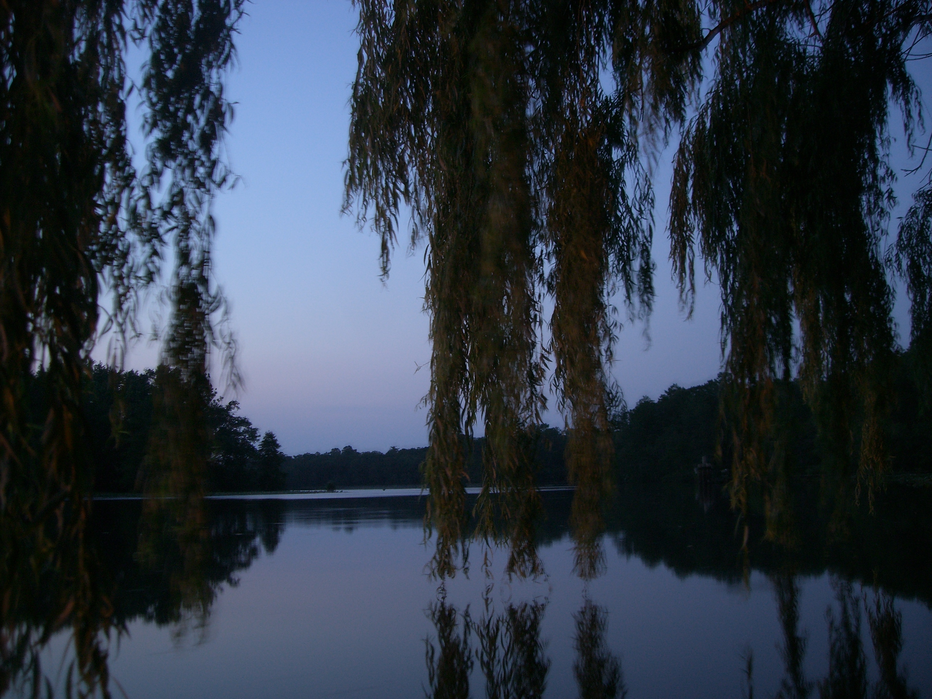
The river at dusk

National Aquarium Stream Challenge
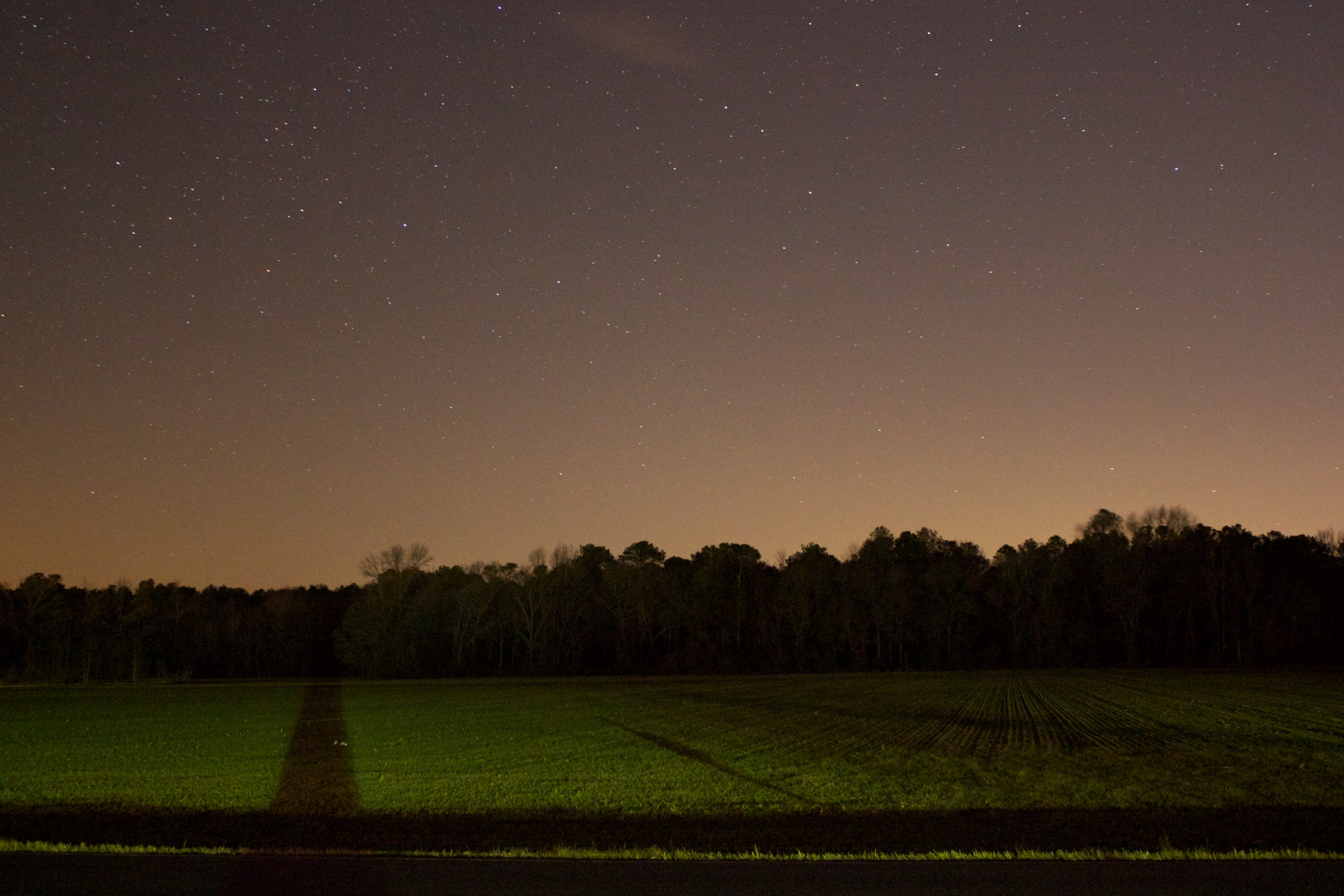
Field at Night

Site 9. Mitchel Pond
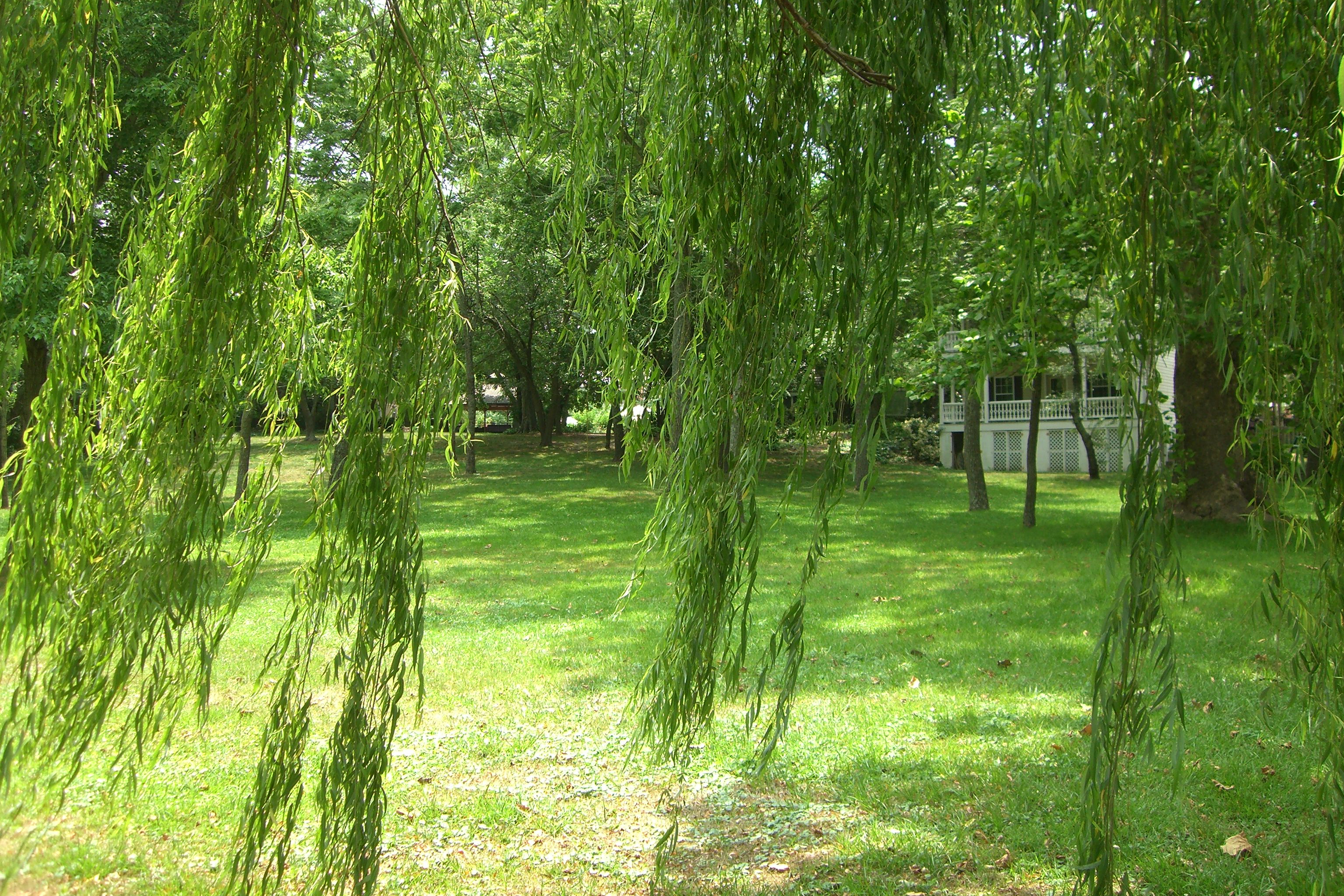
The grounds at the River House Inn

Bear Swamp Road
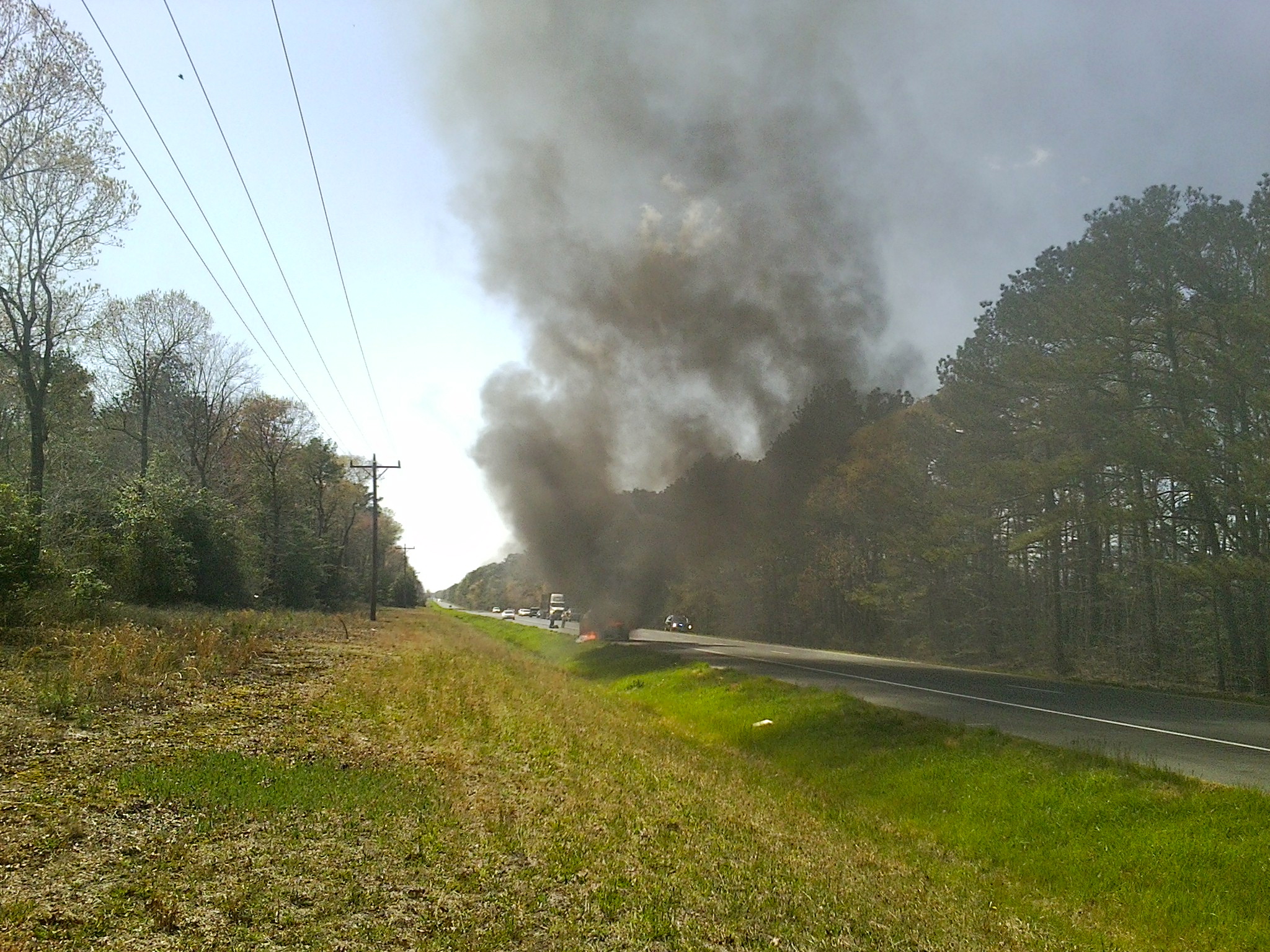
MD Route 50 Truck Fire
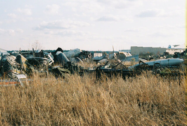
AT-6 Texan Boneyard
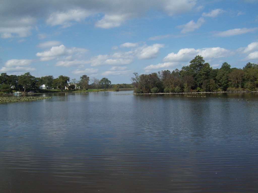
The River
Camera Roll-244
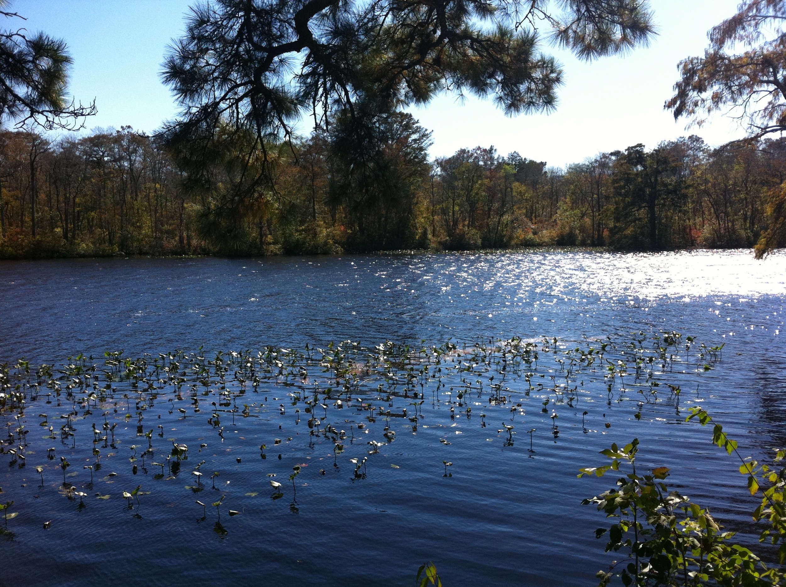
Maryland's Best Cypress Swamp - 2
Topographic Map of St Lukes Rd, Salisbury, MD, USA
Find elevation by address:

Places near St Lukes Rd, Salisbury, MD, USA:
7735 Snow Hill Rd
Dog House Drive
2834 Coulbourn Mill Rd
3824 Coulbourn Mill Rd
Mt Olive Rd, Salisbury, MD, USA
30565 E Rustic Dr
Wild Turkey Way
8, Nutters
Ridge Rd, Snow Hill, MD, USA
6722 Lenape Pl
Kettleford Drive
3892 Lost Fawn Dr
Devonshire Drive
3878 Devonshire Dr
7, Atkinsons
Whiteburg
Wildwood Trail
Scotty Rd, Snow Hill, MD, USA
6, Dennis
Worcester County
Recent Searches:
- Elevation of Corso Fratelli Cairoli, 35, Macerata MC, Italy
- Elevation of Tallevast Rd, Sarasota, FL, USA
- Elevation of 4th St E, Sonoma, CA, USA
- Elevation of Black Hollow Rd, Pennsdale, PA, USA
- Elevation of Oakland Ave, Williamsport, PA, USA
- Elevation of Pedrógão Grande, Portugal
- Elevation of Klee Dr, Martinsburg, WV, USA
- Elevation of Via Roma, Pieranica CR, Italy
- Elevation of Tavkvetili Mountain, Georgia
- Elevation of Hartfords Bluff Cir, Mt Pleasant, SC, USA