Elevation of Rice County, MN, USA
Location: United States > Minnesota >
Longitude: -93.338891
Latitude: 44.2749995
Elevation: 297m / 974feet
Barometric Pressure: 98KPa
Elevation Map:
Satellite Map:
Related Photos:
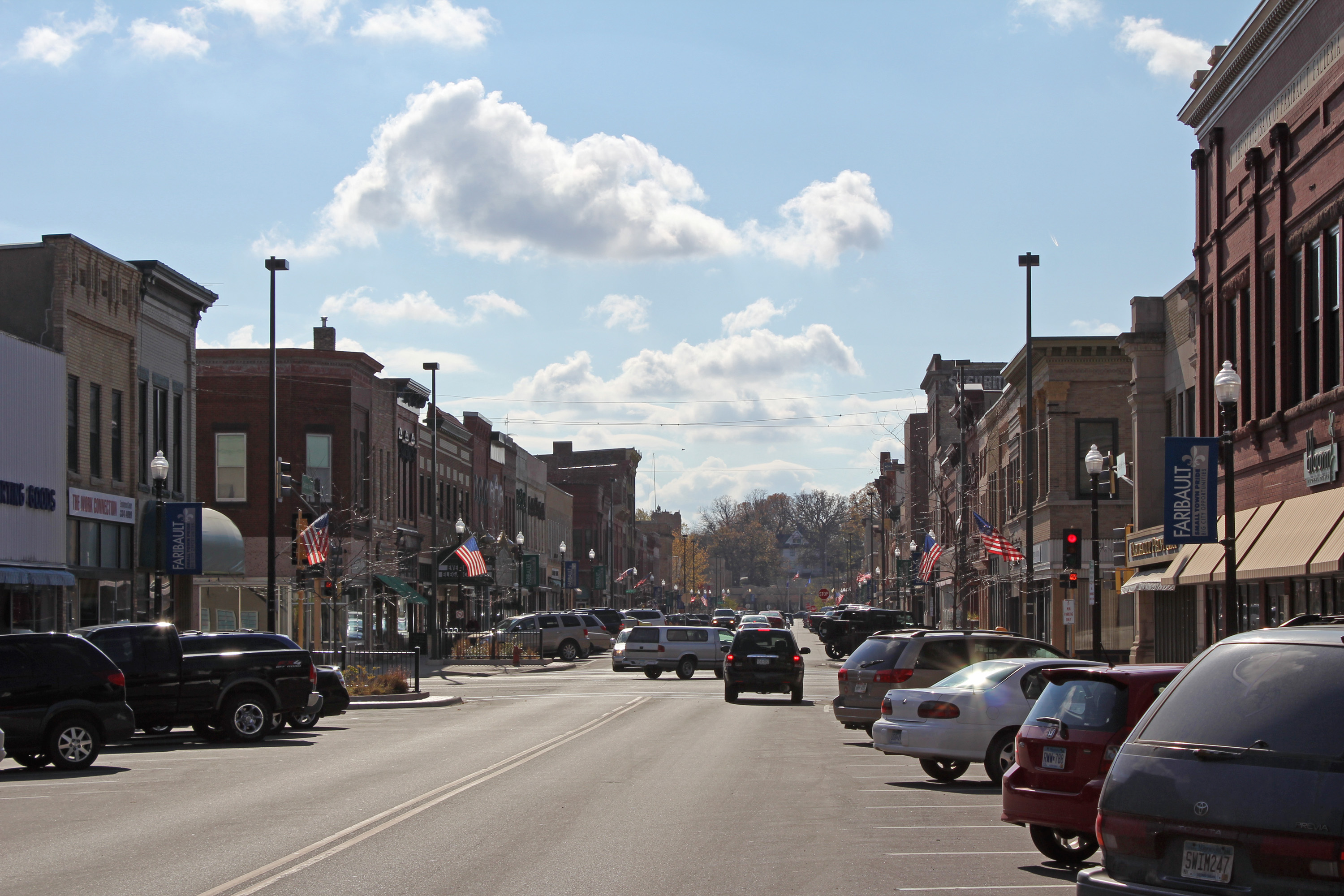
Central Ave

Faribo West Mall: Main Concourse
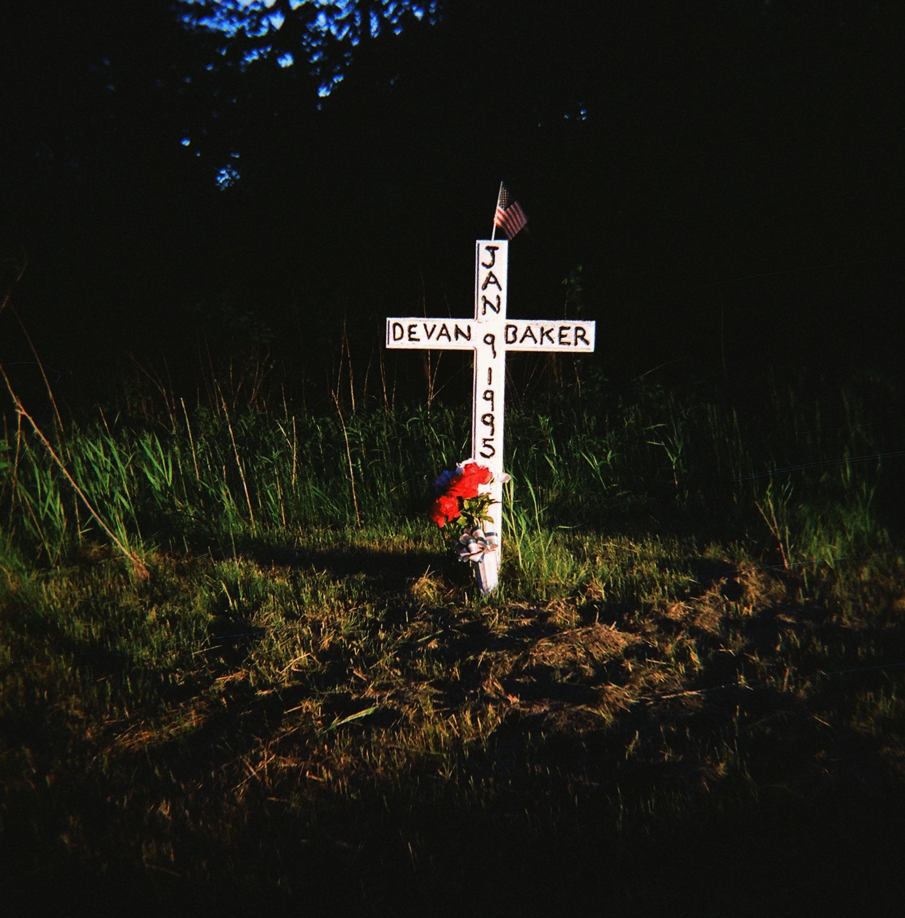
jan devan baker

angie 2006

Minnesota, Rice County, Little Prairie School, District No. 15 (813)

Geocaching in Faribault
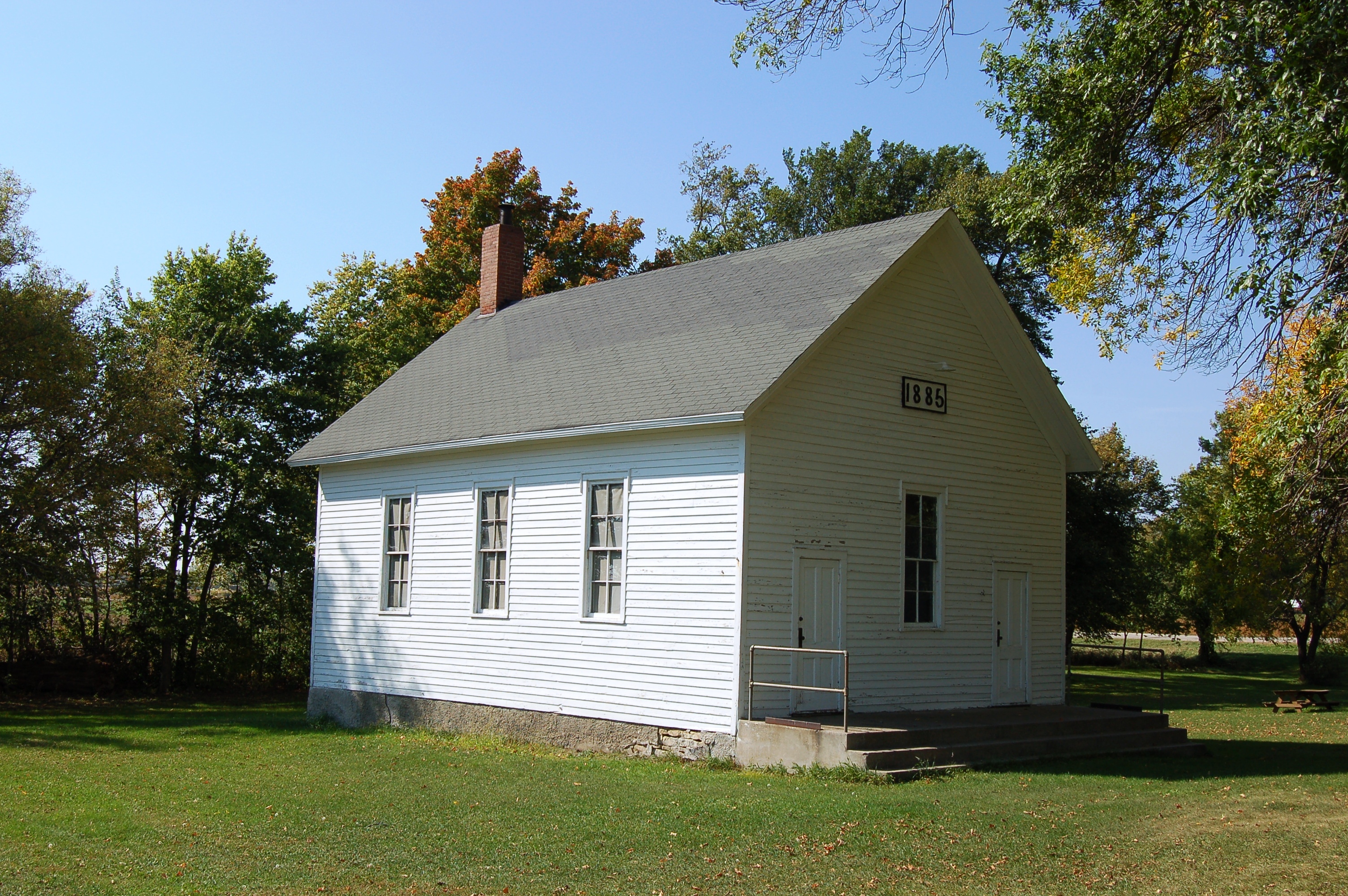
Minnesota, Rice County, Little Prairie School, District No. 15 (813-2)
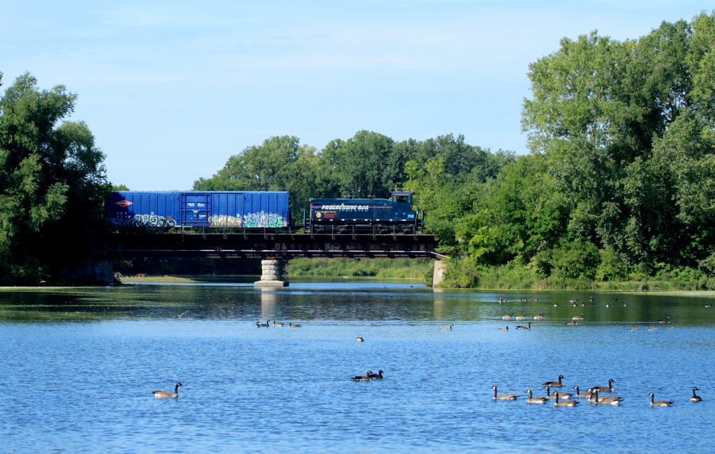
PGR 74 at Faribault, MN

Lake Mazaska

roberds.lake.sunset

Leucorrhinia intacta

Cat tails
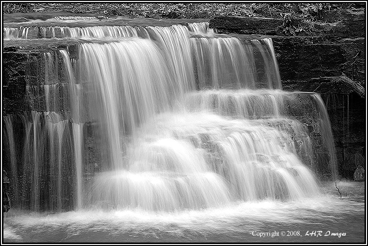
Caron Falls (wf0804-01-096)

0124150737~2

0124150724a~2
We have the Water

Rice County bike trails. #stayandwander

Lophodytes cucullatus

Rough Fence
0124150733~2

unidentified eggs

Nehalennia irene

Gold and Black and Pink.
Hesperis matronalis

Lestes australis

Libellula pulchella

Cirsium muticum
Cannon River Wilderness Area
Topographic Map of Rice County, MN, USA
Find elevation by address:

Places in Rice County, MN, USA:
Forest Township
Faribault
Northfield Township
Wheatland Township
Webster Township
Lonsdale
Richland Township
Northfield
Co Rd 20, Dundas, MN, USA
Water St S, Northfield, MN, USA
Main St, Nerstrand, MN, USA
Cannon City Township
Wheeling Township
Bridgewater Township
Places near Rice County, MN, USA:
Faribault
1500 2nd Ave Nw
809 Rose Dr
1814 2nd Ave Nw
5317 Nw 66th St
13645 Fox Lake Trail
13645 Fox Lake Trail
13756 Fox Lake Trail
Forest Township
Deerfield Township
Medford
1st Ave NE, Medford, MN, USA
Cannon City
3750 155th St E
Eiler Ave, Faribault, MN, USA
Cannon City Township
Millersburg Blvd, Faribault, MN, USA
4795 Millersburg Blvd
Bridgewater Township
Gates Ave, Faribault, MN, USA
Recent Searches:
- Elevation of Corso Fratelli Cairoli, 35, Macerata MC, Italy
- Elevation of Tallevast Rd, Sarasota, FL, USA
- Elevation of 4th St E, Sonoma, CA, USA
- Elevation of Black Hollow Rd, Pennsdale, PA, USA
- Elevation of Oakland Ave, Williamsport, PA, USA
- Elevation of Pedrógão Grande, Portugal
- Elevation of Klee Dr, Martinsburg, WV, USA
- Elevation of Via Roma, Pieranica CR, Italy
- Elevation of Tavkvetili Mountain, Georgia
- Elevation of Hartfords Bluff Cir, Mt Pleasant, SC, USA