Elevation of Rice, CA, USA

Location: United States > California > San Bernardino County > Vidal >

Longitude: -114.84969

Latitude: 34.0836252

Elevation: 284m / 932feet

Barometric Pressure: 98KPa

Elevation Map:

elevation map of Rice, CA, USA

Satellite Map:

Satellite map of Rice, CA, USA

Related Photos:

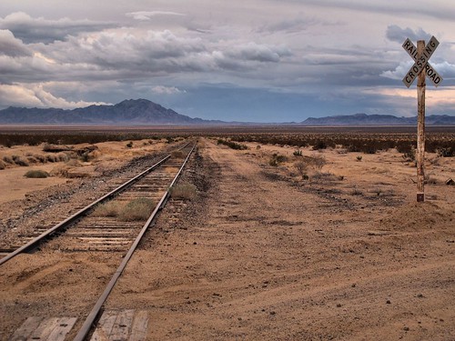
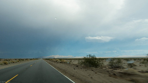
california sky mountains weather outdoors gloomy view desert empty tracks adventure remote lonely exploration desolate isolated stormclouds mojavedesert railroadcrossing railroadtracks waitingforatrain sanbernardinocounty tonemapped threateningskies zoniedude1 canonpowershotg12 pspx6
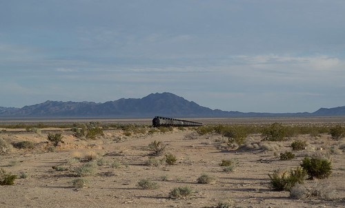
Waiting for a Train
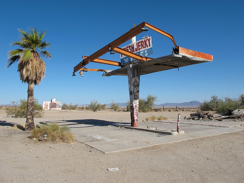
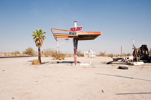
california desert remote lonely abandoned mojavedesert freshjerky36miles signs abandonedgasstation graffiti desolate empty roadsideattraction isolated ruins sanbernardinocounty hwy62 outdoors exploration adventure canonpowershotg12 pspx8 zoniedude1
Fresh Jerky 36 Miles
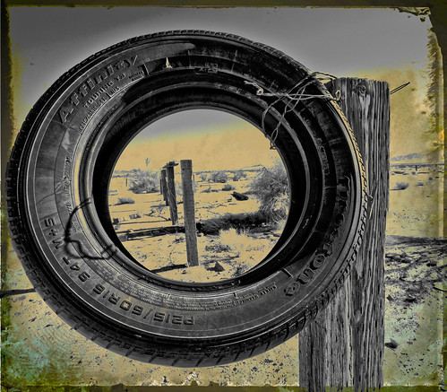
road texture highway rice tire 62 fencedfriday
View through a tire
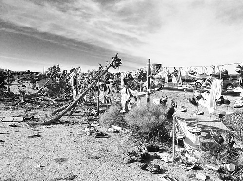
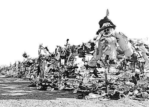
california travel vacation blackandwhite bw weird shoes cemetary roadtrip odd
Shoe Cemetary
california travel vacation blackandwhite bw weird shoes cemetary odd
Shoe Cemetary II
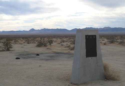
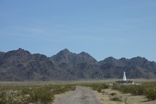
california army desert military wwii blm ca62 eclampusvitus trainingcamps caldesert
CA-62, Camp Rice 1626a
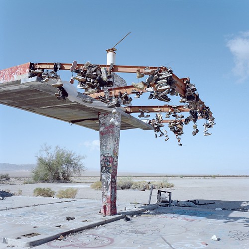
eyetwistkevinballuff eyetwist shoetree tree shoes boots hanging abandoned mojavedesert california mamiya 6mf 50mm kodak portra 160 ishootfilm analog analogue mamiya6mf mamiya50mmf4l kodakportra160 ishootkodak mojave desert clouds film emulsion mamiya6 square 6x6 mediumformat 120 filmexif iconla epsonv750pro lenstagger highdesert landscape roadsideamerica barren desolate dirt bleak ca62 highway 62 rice service gas gasoline station gasstation ruins decay slab canopy frame bent graffiti shoe american west newtopographics
the shoe tree. mojave desert, ca. 2018.
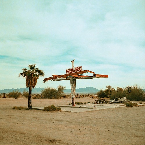
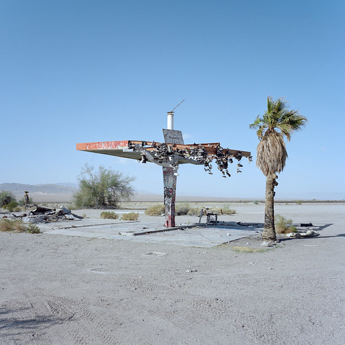
eyetwistkevinballuff eyetwist rice california mojavedesert abandoned gasstation freshjerky mamiya 6mf 75mm rollei digibase cr200 pro crossprocessed xpro crossprocess e6c41 cross process mamiya6mf rolleidigibasecr200pro ishootfilm analog empty gone sign route62 route 62 desolate bleak vanished history america analogue film emulsion mamiya6 square 6x6 mediumformat 120 filmexif iconla epsonv750pro filmtagger highdesert landscape structure roadsideamerica barren ca62 service gas gasoline station ruins decay canopy bent palmtree fresh jerky graffiti shoe atomicbomb army airfield american west trinitytest twentyninepalms
fresh jerky. rice, ca. 2014.
pke vor parker vortac
PKE/Parker VORTAC
eyetwistkevinballuff eyetwist shoetree tree shoes boots hanging abandoned mojavedesert california mamiya 6mf 50mm kodak portra 160 ishootfilm analog analogue mamiya6mf mamiya50mmf4l kodakportra160 ishootkodak mojave desert clouds film emulsion mamiya6 square 6x6 mediumformat 120 filmexif iconla epsonv750pro lenstagger highdesert landscape roadsideamerica barren desolate dirt bleak ca62 highway 62 rice service gas gasoline station gasstation ruins decay slab canopy frame bent graffiti shoe american west newtopographics palmtree flat horizon
the shoe tree. mojave desert, ca. 2018.
eyetwistkevinballuff eyetwist mojavedesert california mamiya 6mf 50mm kodak portra 160 ishootfilm analog analogue mamiya6mf mamiya50mmf4l kodakportra160 ishootkodak mojave desert clouds film emulsion mamiya6 square 6x6 mediumformat 120 filmexif iconla epsonv750pro filmtagger highdesert landscape roadsideamerica barren desolate dirt bleak overcast ca62 highway 62 rice service gas gasoline station gasstation ruins decay abandoned slab canopy frame bent palm tree freshjerky fresh jerky graffiti hanging shoes shoe atomicbomb army airfield american west newtopographics
fresh jerky. rice, ca. 2014.
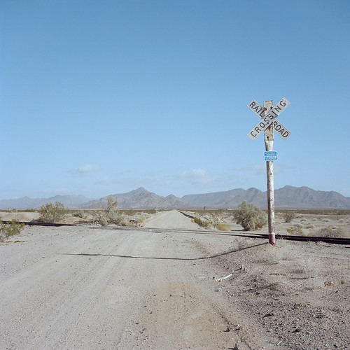
eyetwistkevinballuff eyetwist mojavedesert crossbuck dirtroad railroad tracks crossing vanishingpoint california rice mamiya 6mf 50mm kodak portra 160 ishootfilm analog analogue mamiya6mf mamiya50mmf4l kodakportra160 ishootkodak mojave desert clouds film emulsion mamiya6 square 6x6 mediumformat 120 filmexif iconla epsonv750pro lenstagger highdesert landscape roadsideamerica barren desolate dirt bleak american west newtopographics sign type typography rail abandoned road midland blythe angle vast empty
desert crossing. rice, ca. 2018.
california goldenhour light scenery sunset vidal kalifornien desert loneliness konicaminoltadynax7d dslr apsc landscape sigma1530mmf3545exdg amount zoomlens colourful travelphotography traveling vacation usa etatsunis eua estadosunidos travel colours nature decay natural
Abandoned gas station in the middle of nowhere, CA
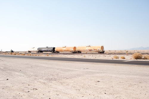
california railroad desert
Rice ARZC-Arizona and California Railroad (1512)
usa vidal kalifornien
DSC02640.jpg
california
Actual Sandy Desert Road
voyage california road travel summer usa holiday cali america landscape us place unitedstates unitedstatesofamerica route journey northamerica paysage ontheroad californie amérique étatsunis lieu yanngdsl étatsunisdamérique
2009-08-15_16-35-26
voyage california railroad travel summer usa holiday cali america train landscape us place unitedstates unitedstatesofamerica transport journey transportation northamerica paysage ontheroad californie amérique étatsunis lieu yanngdsl étatsunisdamérique
2009-08-15_16-35-32
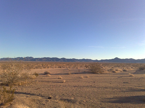
cameraphone california usa celltagged geotagged zonetag desert vidal 95north cell:mcc=310 cell:mnc=410 geo:state=california geo:country=usa cell:network=att zip92280 geo:city=vidal geo:zip=92280 cell:lac=5261 cell:cellid=12634 geo:lat=34106653 geo:lon=114944946
ZoneTag Photo Sunday 7:44 am 12/28/08 Vidal, California
square squareformat iphoneography instagramapp uploaded:by=instagram foursquare:venue=5015e10ce4b0f8ec793a24fb
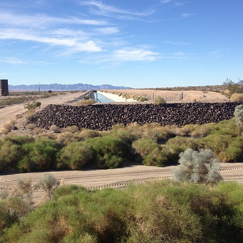
Colorado River Aquaduct
usa kalifornien
DSC02641.jpg