Elevation of Rexford, KS, USA
Location: United States > Kansas > Thomas County > Smith >
Longitude: -100.74348
Latitude: 39.4716708
Elevation: 901m / 2956feet
Barometric Pressure: 91KPa
Elevation Map:
Satellite Map:
Related Photos:

2011-BACKTOKS11-Highway1
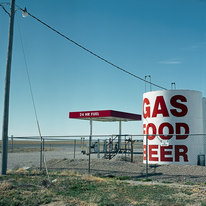
Gas, Food, Beer. Rexford, KS 67753
2015-09-05 10.55.40
2015-09-05 10.55.55

2015-09-05 10.55.57
2015-09-05 10.58.05
2015-09-05 11.03.07
2015-09-05 11.03.11
2015-09-05 11.04.22-2

2015-09-05 11.04.22
2015-09-05 11.04.46

Alone on the plains

2011-BACKTOKS11-Highway2
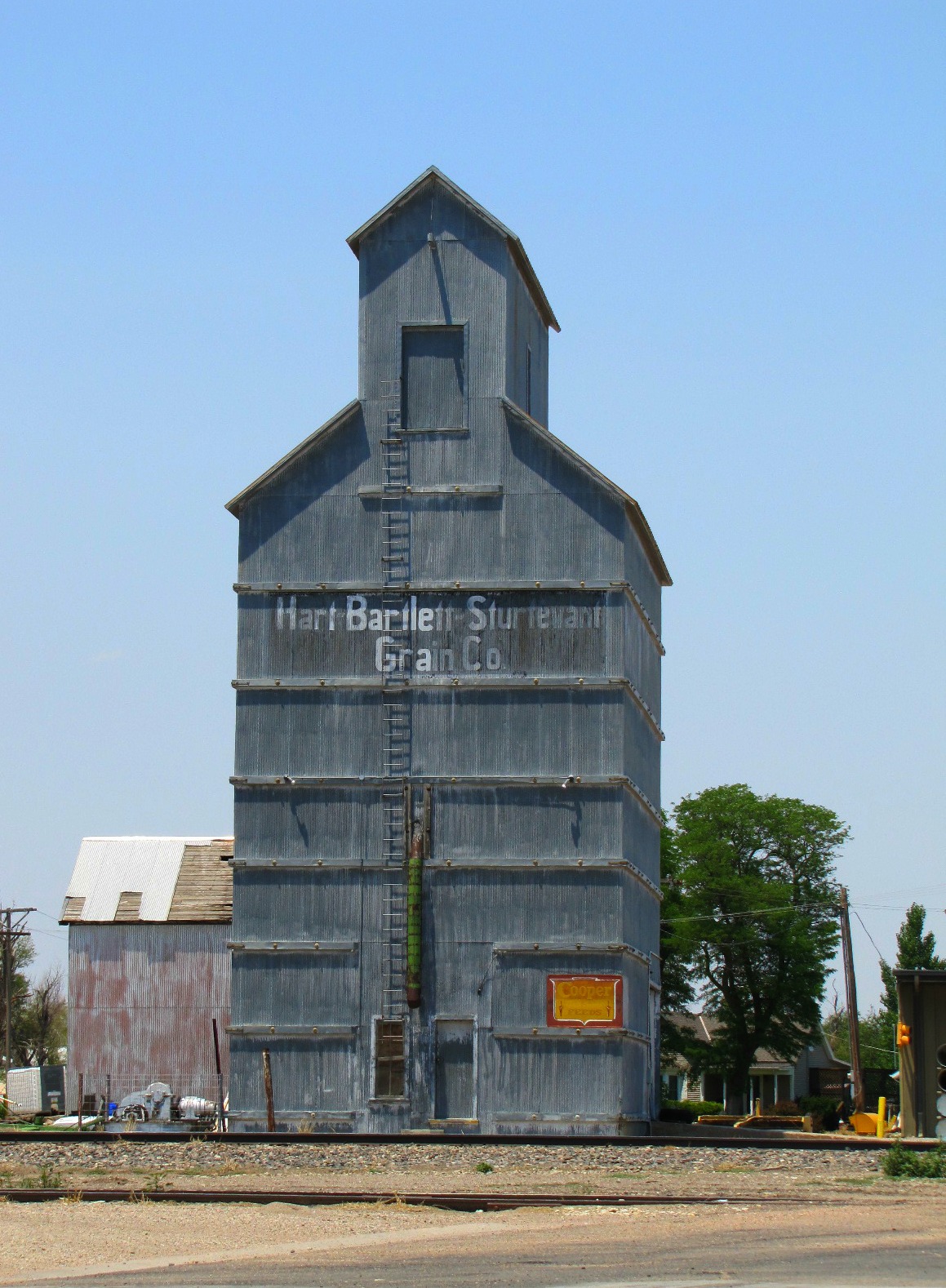
Hart-Bartlett-Sturtevant
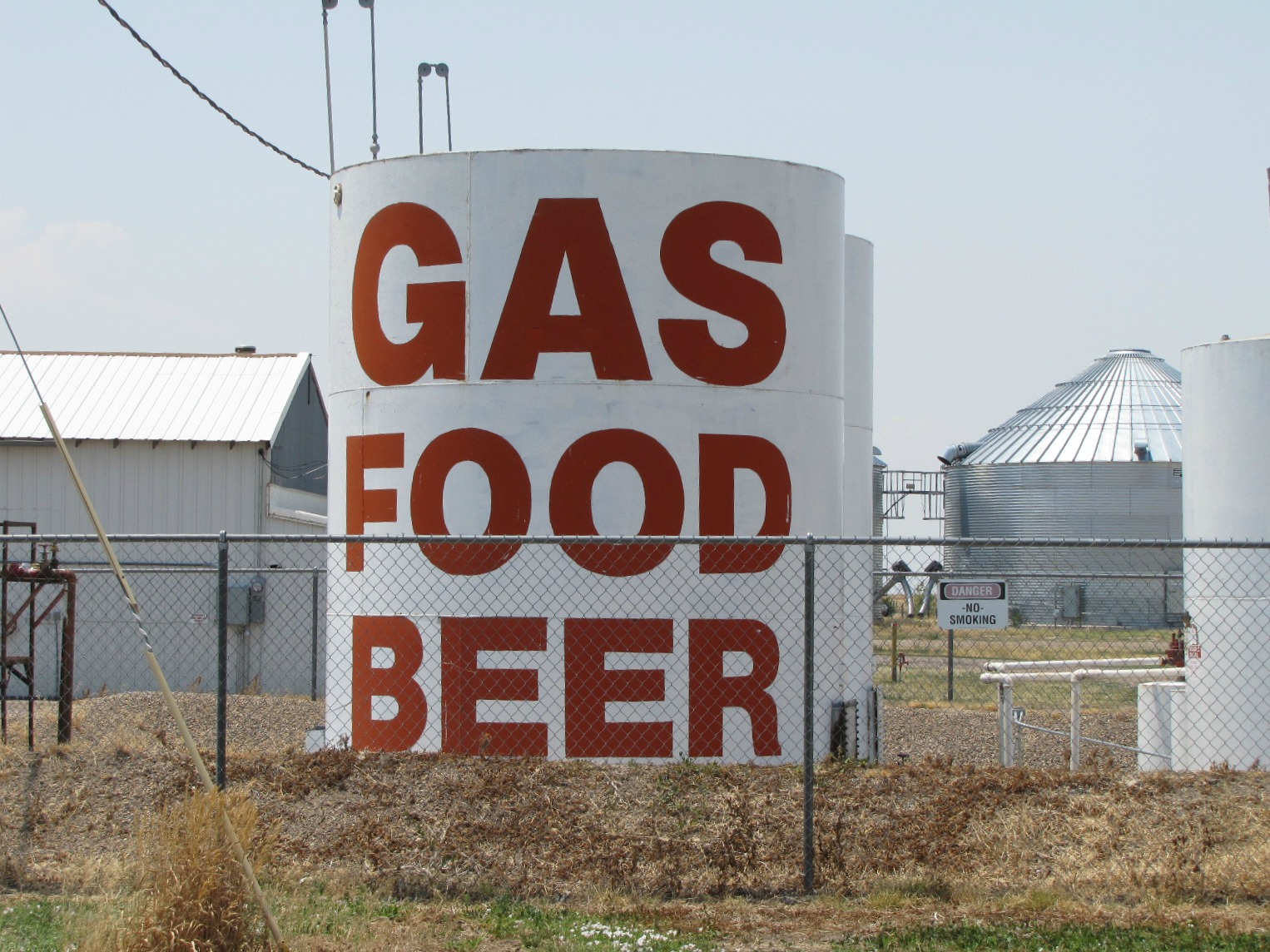
Gas Food Beer
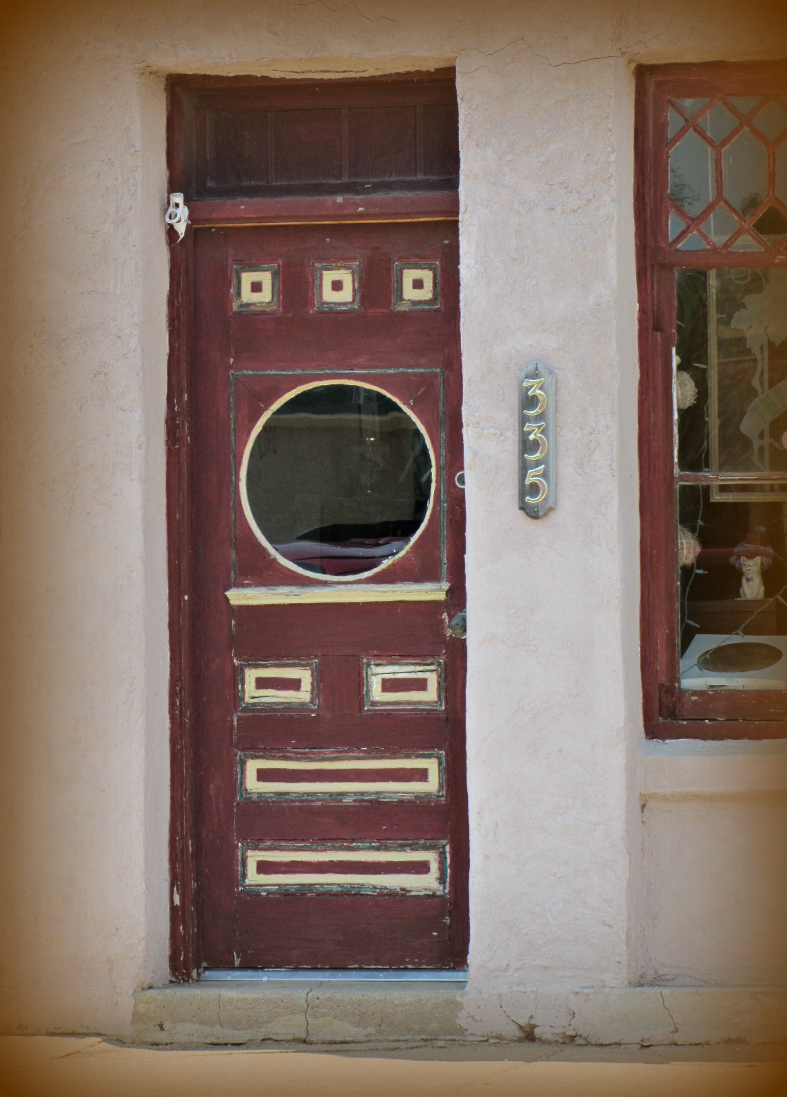
Porthole door
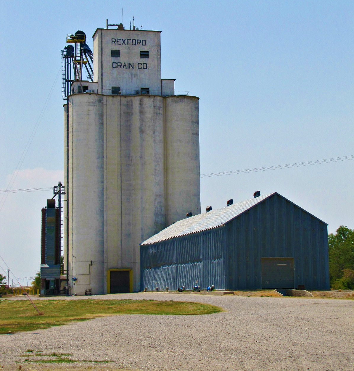
Rexford Grain Co.
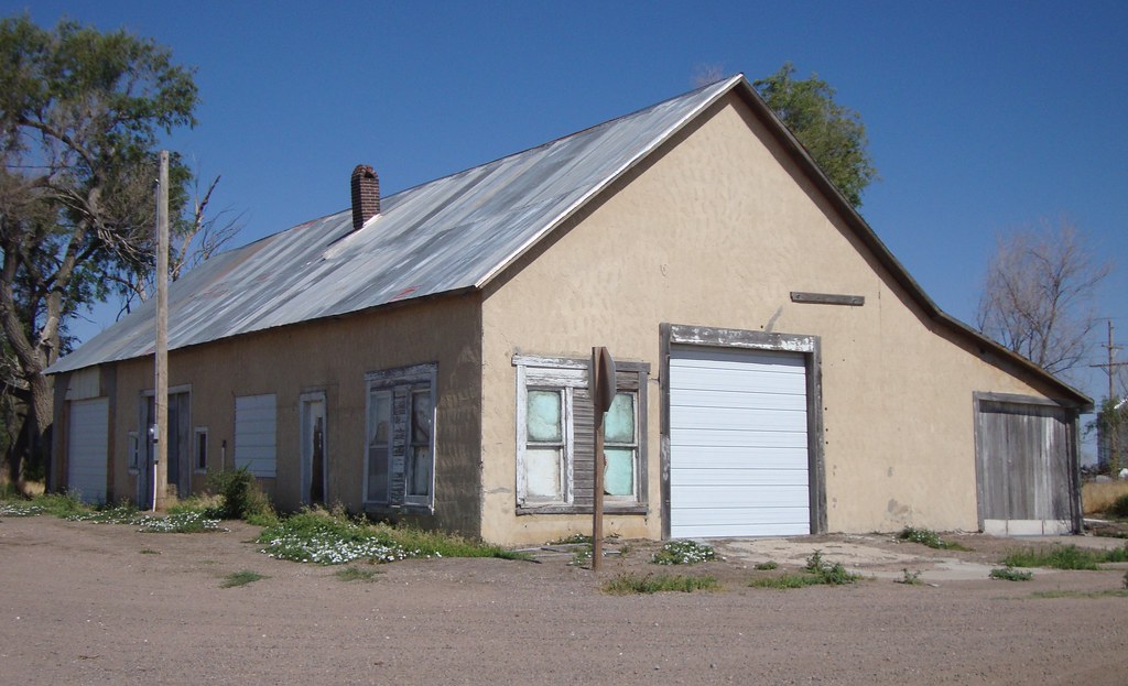
Old Building (Menlo, Kansas)
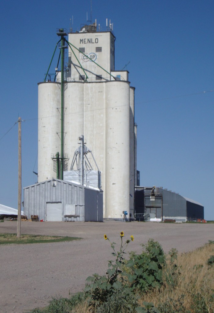
Menlo COOP Grain Elevator (Menlo, Kansas)

Methodist Church (Menlo, Kansas)

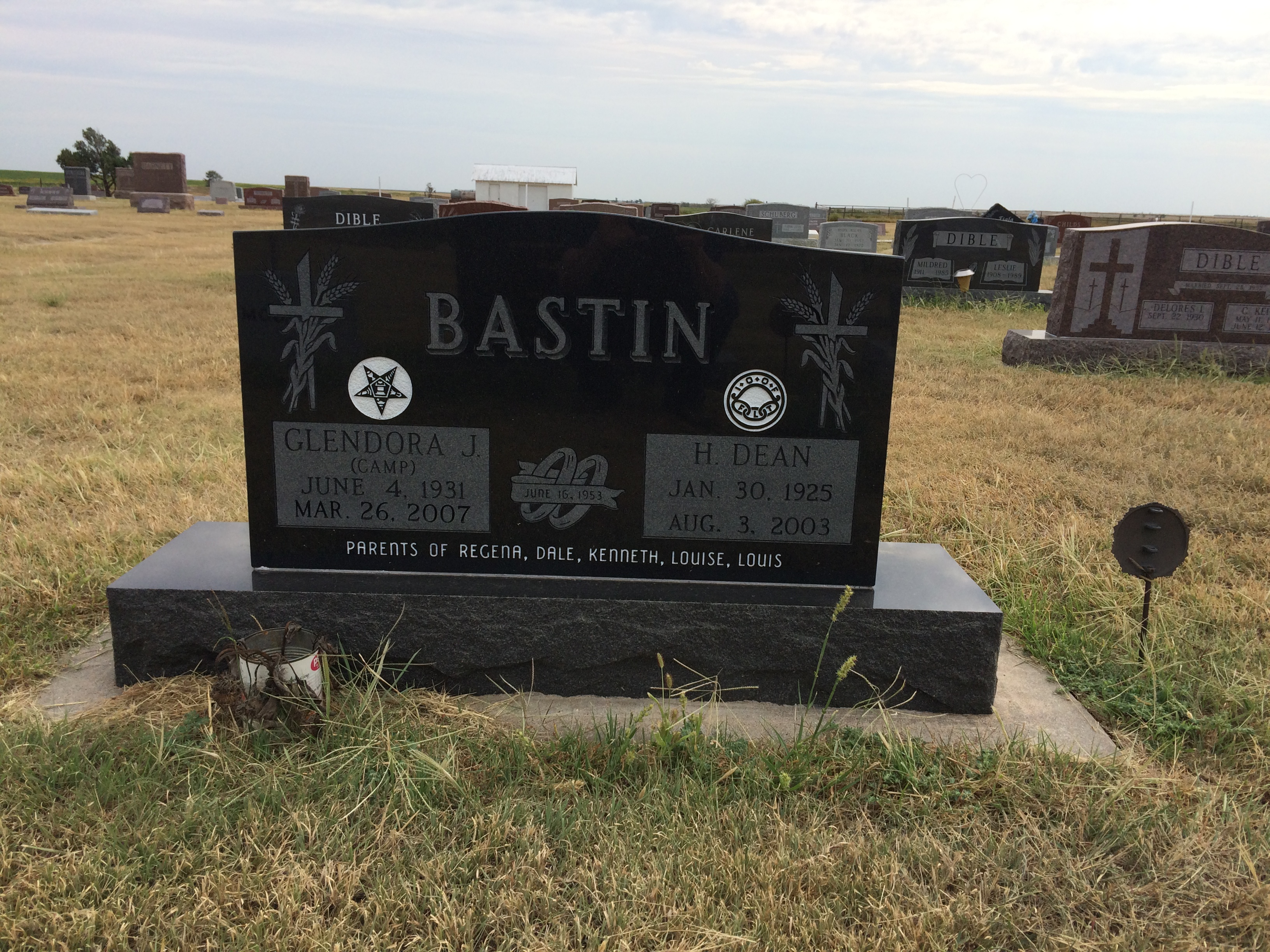
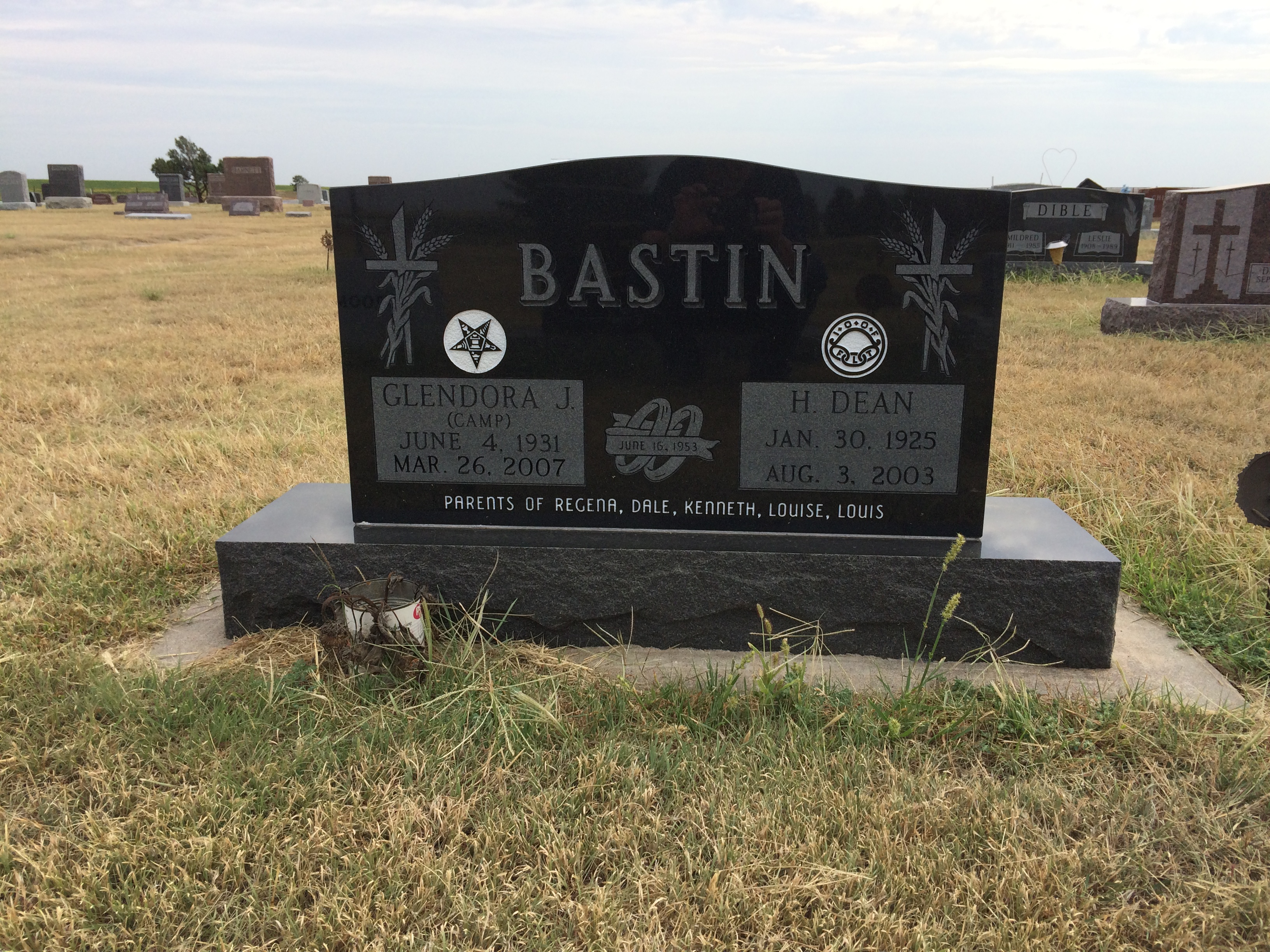
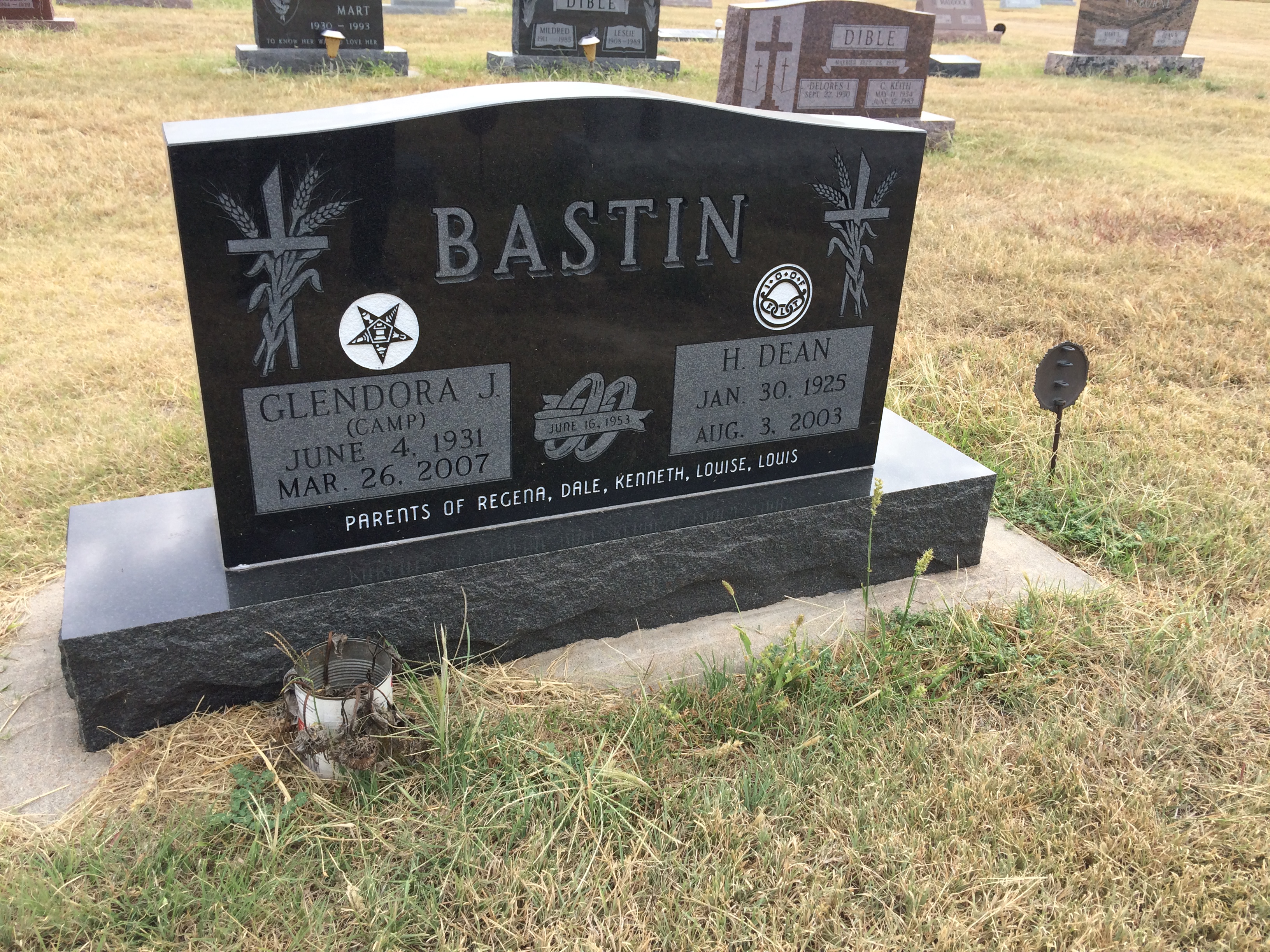
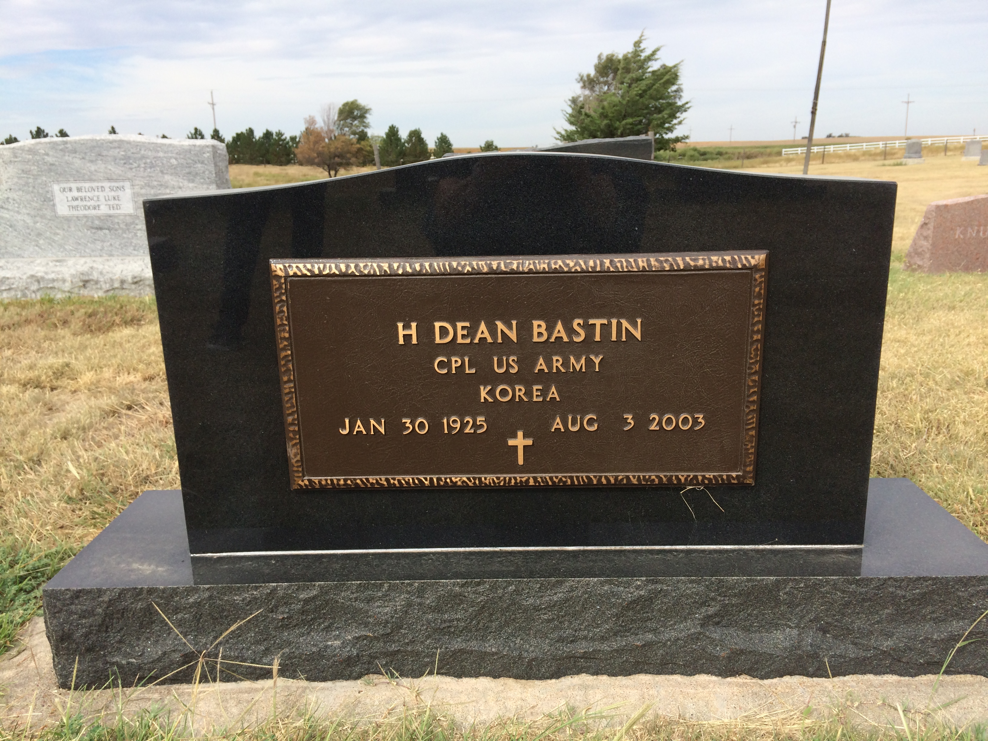
Edith Bastin Funeral 2
Topographic Map of Rexford, KS, USA
Find elevation by address:

Places in Rexford, KS, USA:
Places near Rexford, KS, USA:
Main St, Rexford, KS, USA
Smith
Colby
Decatur County
Morgan
Herl
Quincy Ave, Herndon, KS, USA
Herndon
State St, Atwood, KS, USA
Atwood
Atwood
Levant, KS, USA
Rawlins County
Mccook
Highland-district 2
307 E 7th St
115 E A St
Trenton
Lenora
Willow Grove
Recent Searches:
- Elevation of Corso Fratelli Cairoli, 35, Macerata MC, Italy
- Elevation of Tallevast Rd, Sarasota, FL, USA
- Elevation of 4th St E, Sonoma, CA, USA
- Elevation of Black Hollow Rd, Pennsdale, PA, USA
- Elevation of Oakland Ave, Williamsport, PA, USA
- Elevation of Pedrógão Grande, Portugal
- Elevation of Klee Dr, Martinsburg, WV, USA
- Elevation of Via Roma, Pieranica CR, Italy
- Elevation of Tavkvetili Mountain, Georgia
- Elevation of Hartfords Bluff Cir, Mt Pleasant, SC, USA