Elevation of Atwood, KS, USA
Location: United States > Kansas > Rawlins County >
Longitude: -101.04289
Latitude: 39.8170547
Elevation: 866m / 2841feet
Barometric Pressure: 91KPa
Elevation Map:
Satellite Map:
Related Photos:

Coke Door
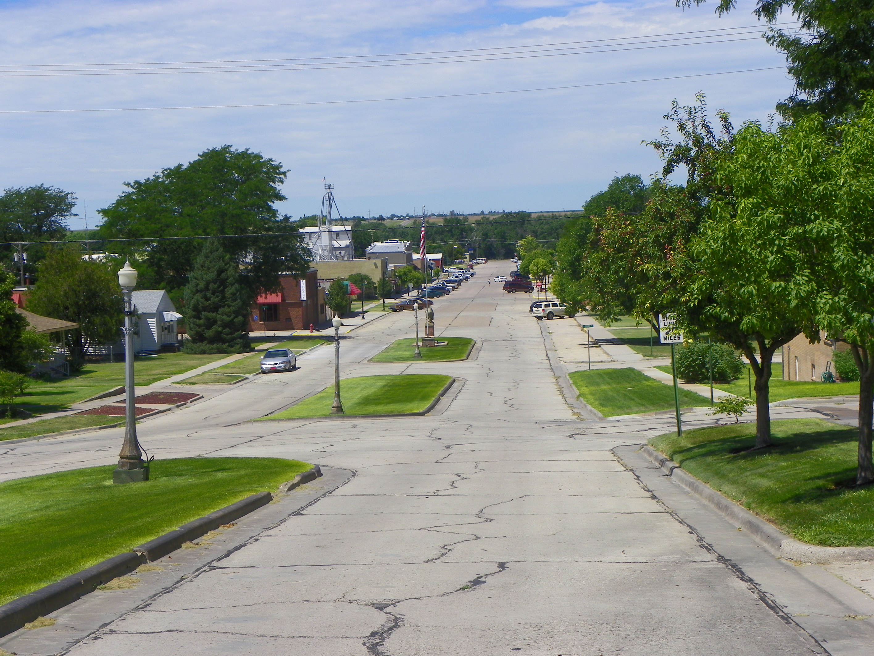
View down Main Street from Atwood High School

Frosty morning on the high plains (dream version)
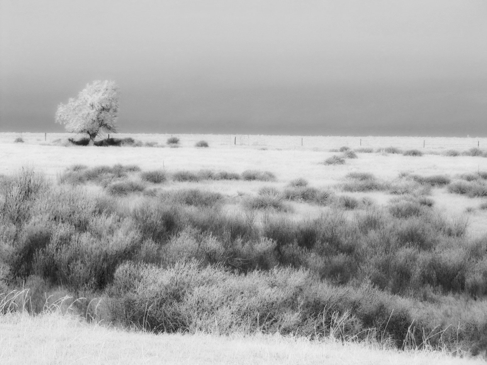
Frosty morning on the high plains (dream version)
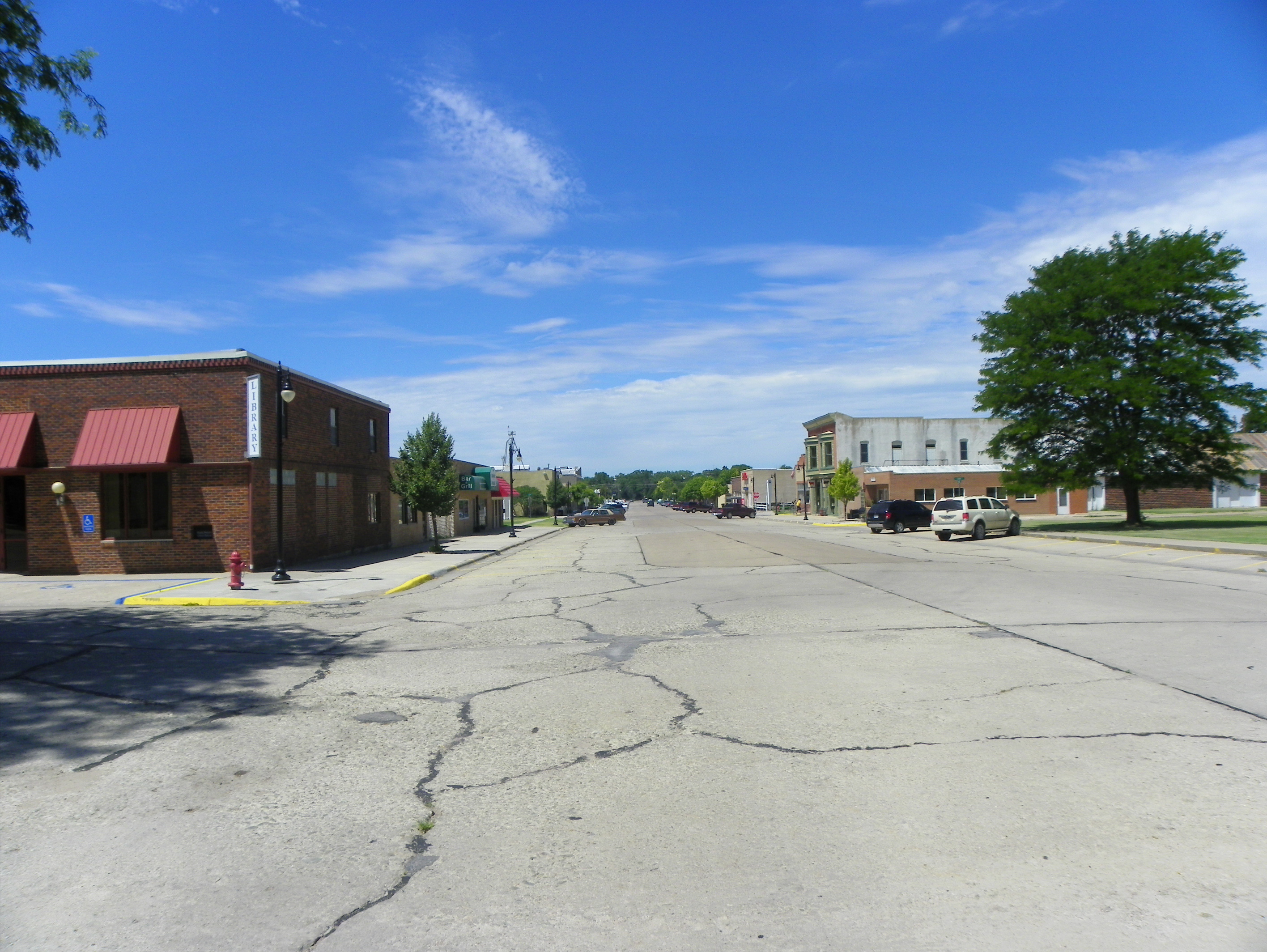
Main Street

The Lake

Atwood_013 of 026

Atwood_010 of 026

Atwood_009 of 026

2012-LAWRENCE13-Dried bed

2012-LAWRENCE12-Lake
Topographic Map of Atwood, KS, USA
Find elevation by address:

Places in Atwood, KS, USA:
Places near Atwood, KS, USA:
State St, Atwood, KS, USA
Atwood
Rawlins County
Herl
Herndon
Quincy Ave, Herndon, KS, USA
115 E A St
Trenton
Levant, KS, USA
Colby
Morgan
Rexford
Main St, Rexford, KS, USA
Smith
Decatur County
Mccook
307 E 7th St
Willow Grove
Red Willow County
Bartley
Recent Searches:
- Elevation of Corso Fratelli Cairoli, 35, Macerata MC, Italy
- Elevation of Tallevast Rd, Sarasota, FL, USA
- Elevation of 4th St E, Sonoma, CA, USA
- Elevation of Black Hollow Rd, Pennsdale, PA, USA
- Elevation of Oakland Ave, Williamsport, PA, USA
- Elevation of Pedrógão Grande, Portugal
- Elevation of Klee Dr, Martinsburg, WV, USA
- Elevation of Via Roma, Pieranica CR, Italy
- Elevation of Tavkvetili Mountain, Georgia
- Elevation of Hartfords Bluff Cir, Mt Pleasant, SC, USA