Elevation of Herl, KS, USA
Location: United States > Kansas > Rawlins County >
Longitude: -100.82257
Latitude: 39.8634145
Elevation: 889m / 2917feet
Barometric Pressure: 91KPa
Elevation Map:
Satellite Map:
Related Photos:
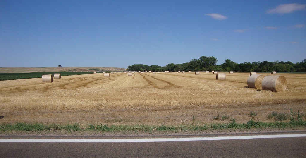
Hay Field (Rawlins County, Kansas)

20150605-DSC_1865.jpg
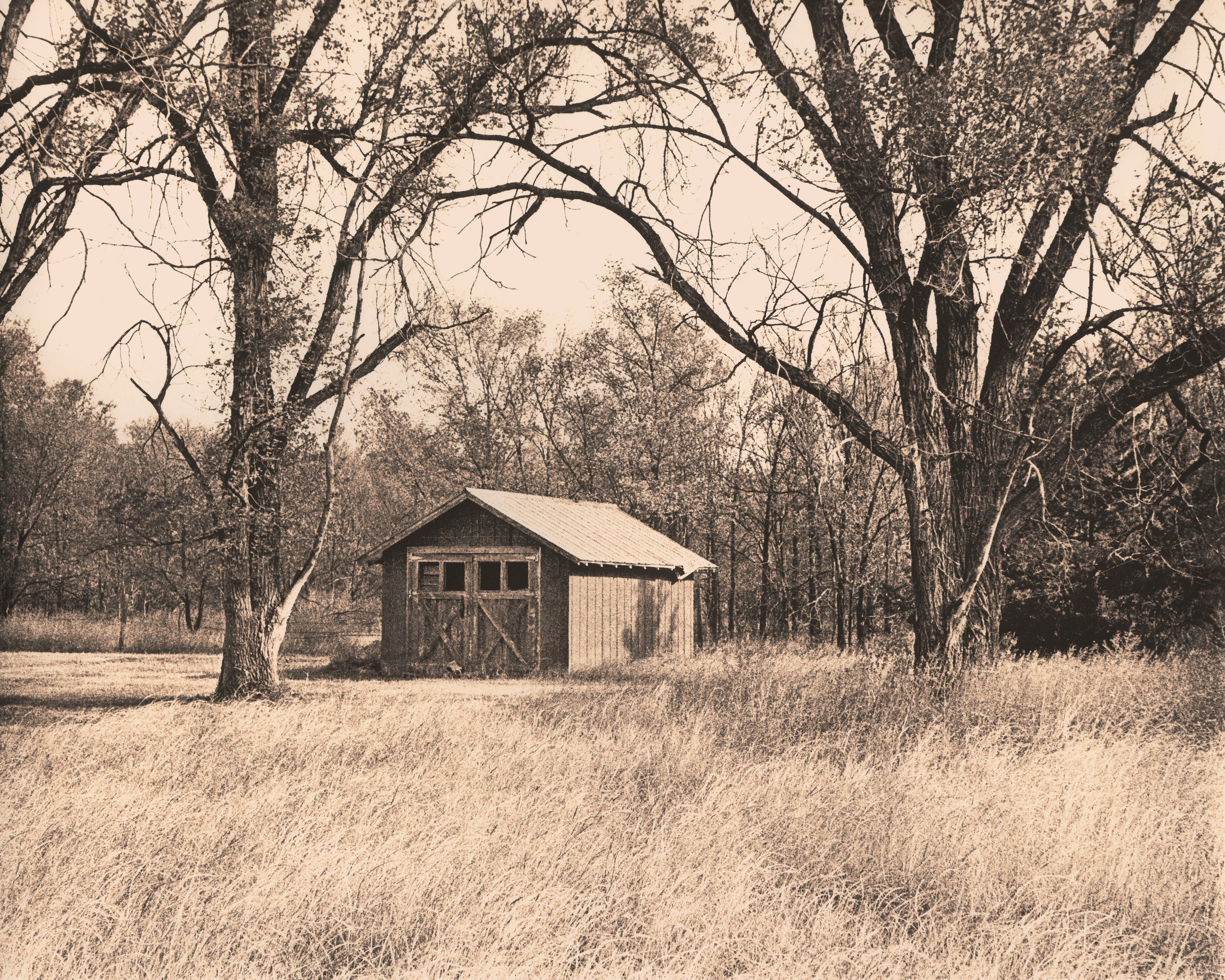
455 - Garage - Ludell, Kansas Lith Print

lures 121

lures 122
lures 123

2012-LAWRENCE19-Follow Me

2012-LAWRENCE18-Monster shot
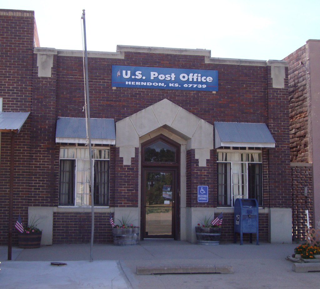
Post Office 67739 (Herndon, Kansas)

Old School (Herndon, Kansas)
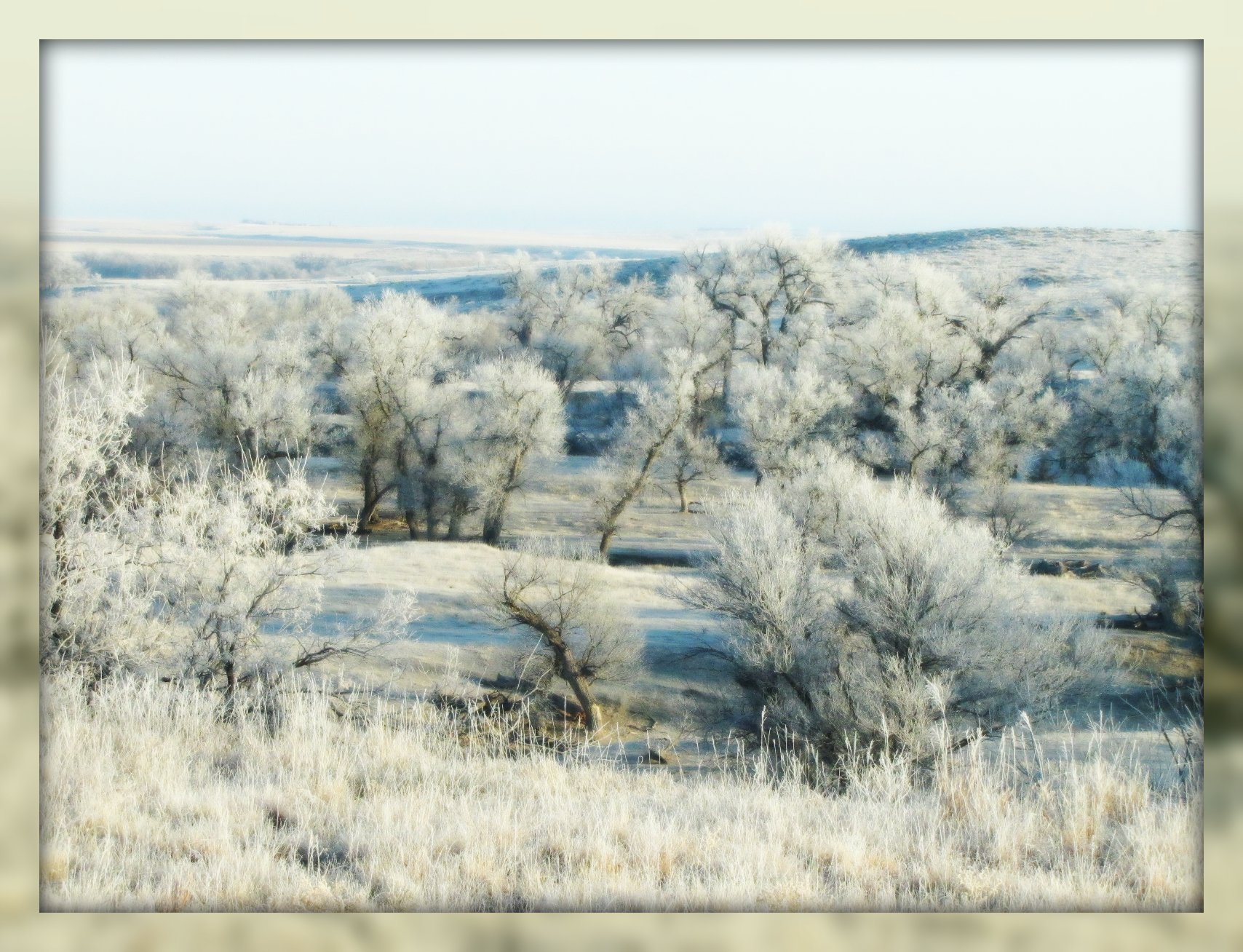
Early morning frosting
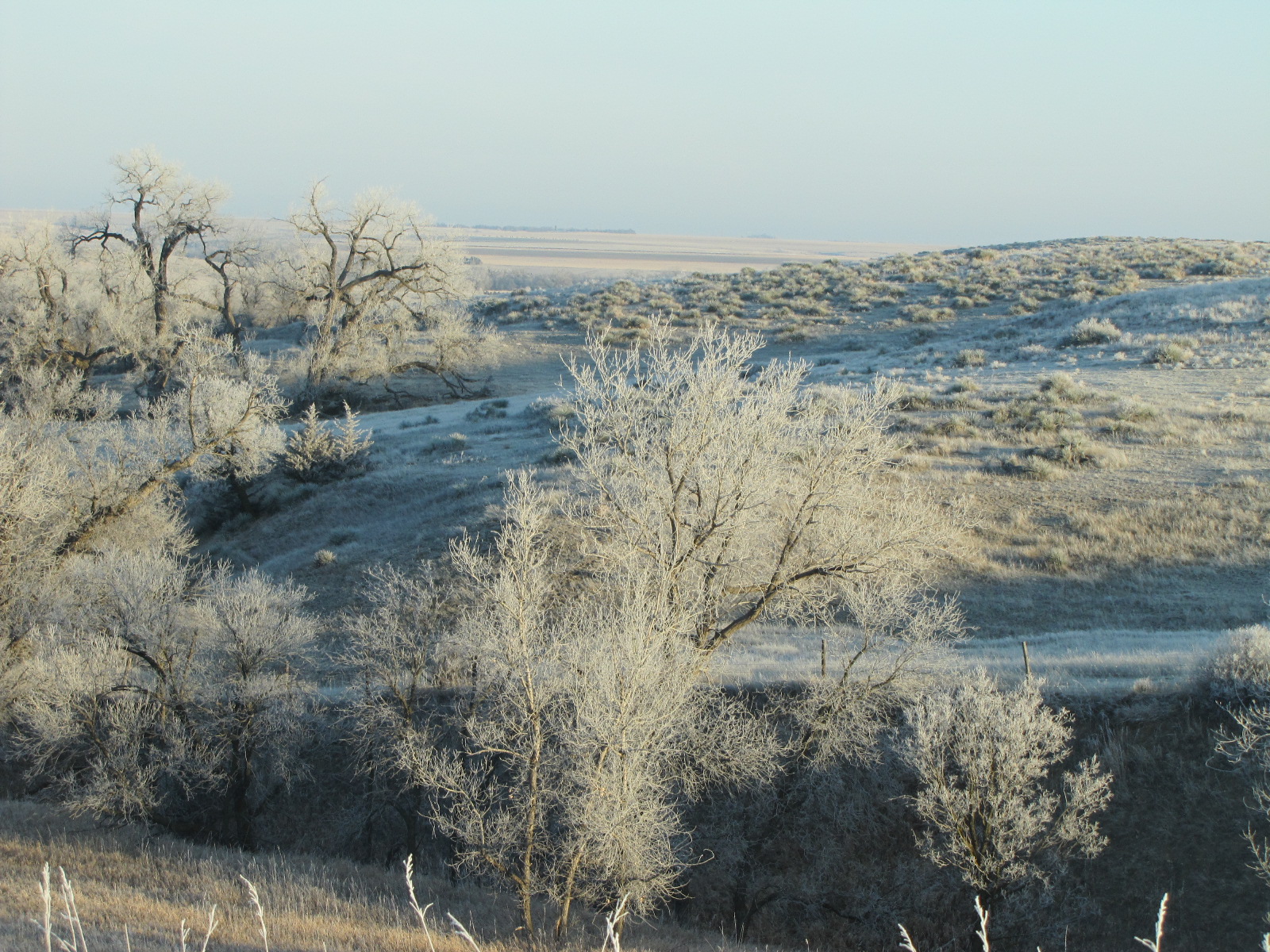
Western Kansas hoar frost

Morning at SF Ferry Building
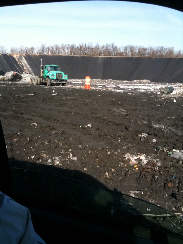
For last 20 mins, I've been stuck in mud at Baltimore dump in van w broken reverse. Somehow life has taken a wrong turn.
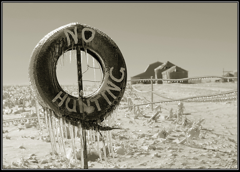
Cold and unwelcome
Topographic Map of Herl, KS, USA
Find elevation by address:

Places in Herl, KS, USA:
Places near Herl, KS, USA:
Quincy Ave, Herndon, KS, USA
Herndon
Atwood
State St, Atwood, KS, USA
Atwood
Rawlins County
Decatur County
115 E A St
Trenton
Mccook
307 E 7th St
Rexford
Main St, Rexford, KS, USA
Willow Grove
Smith
Red Willow County
Colby
Morgan
Levant, KS, USA
Bartley
Recent Searches:
- Elevation of Corso Fratelli Cairoli, 35, Macerata MC, Italy
- Elevation of Tallevast Rd, Sarasota, FL, USA
- Elevation of 4th St E, Sonoma, CA, USA
- Elevation of Black Hollow Rd, Pennsdale, PA, USA
- Elevation of Oakland Ave, Williamsport, PA, USA
- Elevation of Pedrógão Grande, Portugal
- Elevation of Klee Dr, Martinsburg, WV, USA
- Elevation of Via Roma, Pieranica CR, Italy
- Elevation of Tavkvetili Mountain, Georgia
- Elevation of Hartfords Bluff Cir, Mt Pleasant, SC, USA