Elevation of Rexburg, ID - BYU Idaho, Rexburg, ID, USA
Location: United States > Idaho > Madison County > Rexburg >
Longitude: -111.78672
Latitude: 43.8195623
Elevation: 1485m / 4872feet
Barometric Pressure: 85KPa
Elevation Map:
Satellite Map:
Related Photos:

Soft and Cold

[IDAHO-L-0014] Teton Dam Flood - Wilford
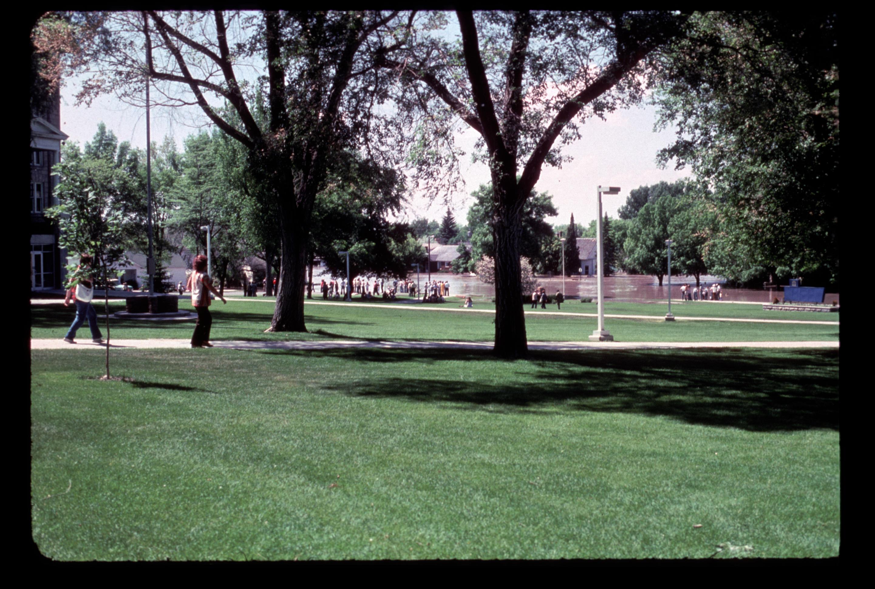
[IDAHO-L-0028] Teton Dam Flood - Rexburg

Mother & Daughter

Lion Head
eclipse vantage point, looking west

Climbing Couple

Sappy Pine Cone
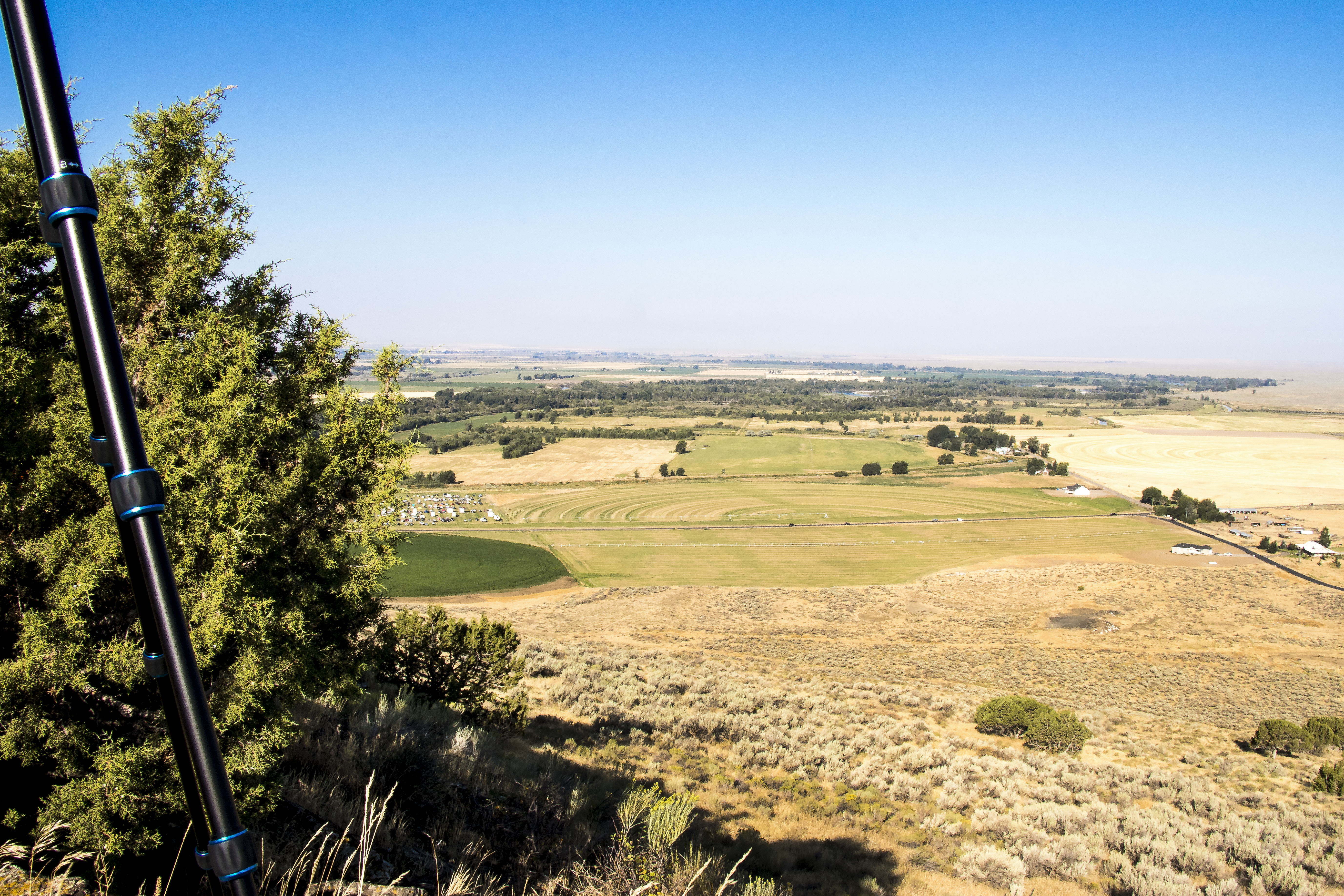
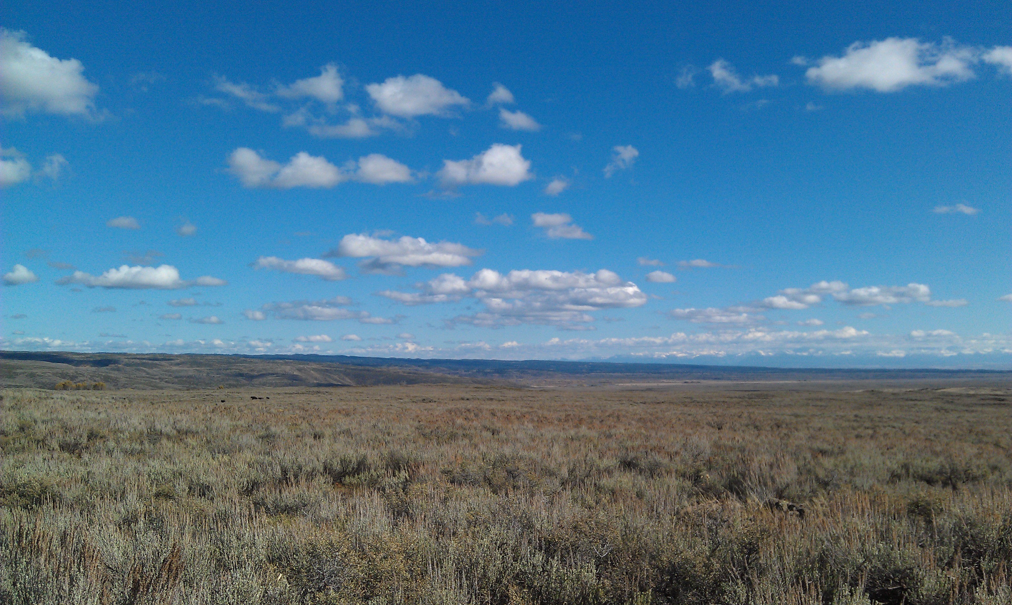
Miniature Rexburg
From one Butte to Another
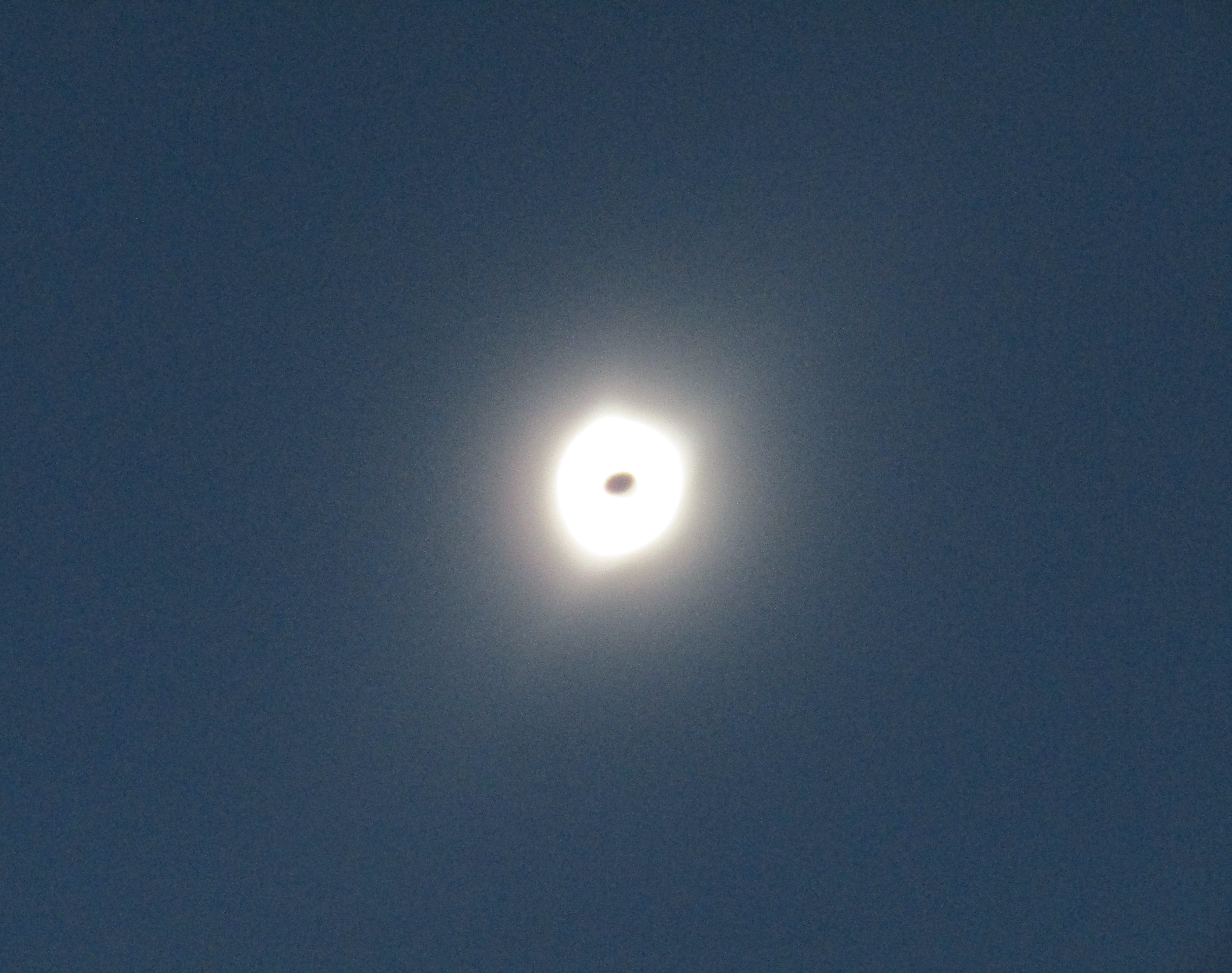
August 2017 solar eclipse
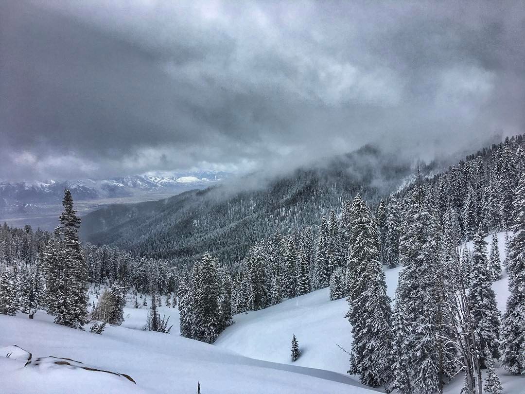
Teton Range - #tetonrange #teton #tetons #grandtetons #grandteton #grandtetonnationalpark #mountains #mountaintop #mountainlife #snowday #snowday #snowwhite #snowscape #clouds #pinetrees #landscape #landscapephotography #theamericancollective #the_home_fr

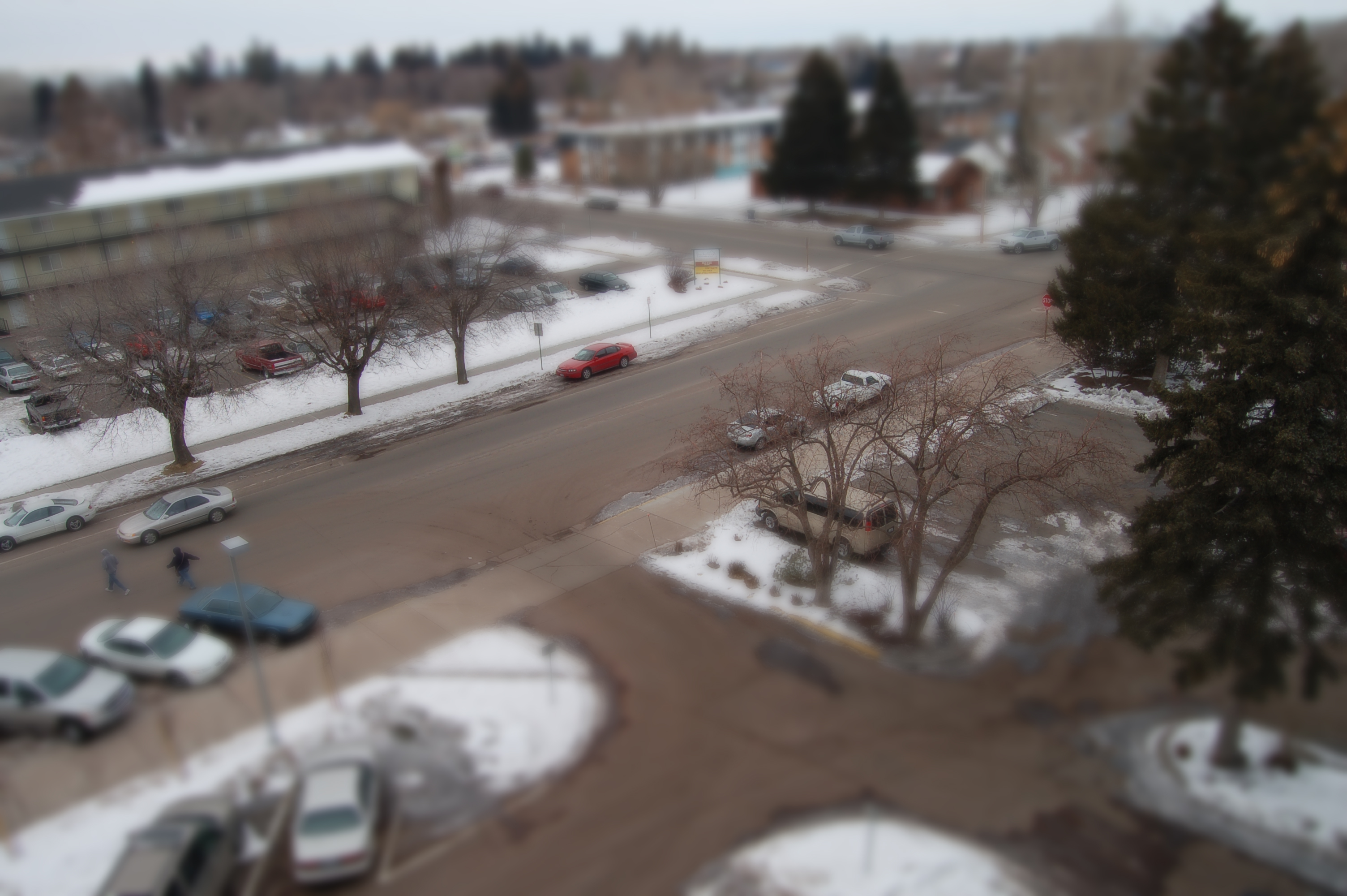
The Windows XP Field of Idaho

Sunrise over the volcanes Menan Buttes, day of "Total Solar Eclipse", Rexburg, Idaho
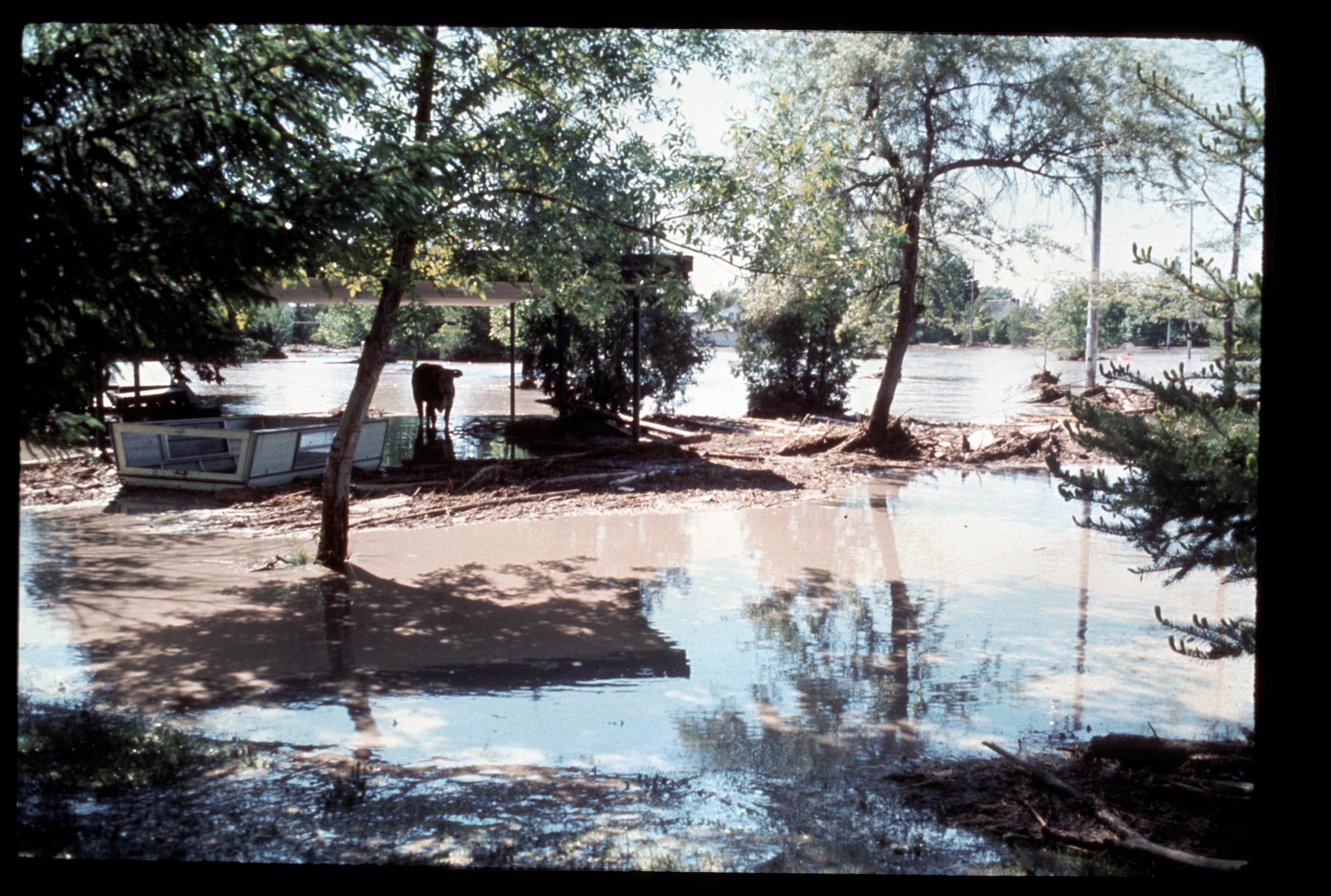
[IDAHO-L-0045] Teton Dam Flood - Rexburg
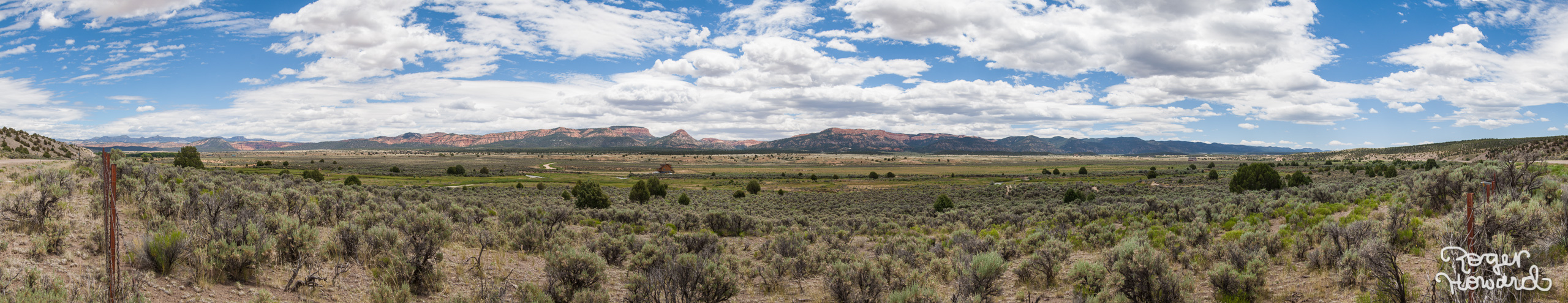
20140627 Idaho Pano 1
Tiny Farm House

Rexburg is a pretty place too. #rexburg #idaho #landscape #sky #mountains #clouds #crops

Rusty Car Field

Hunting beaver. No, really.
Menan Butte
One of my favorite aerial shots around Rexburg. BTS: I had to explain to a police officer what I was doing there. I must have looked like a big threat to the town. He was really cool though. #rexburg #idaho #lds #temple #aerial #flying #airshots #drone #
Sunset, BYU-Idaho, Rexburg, Idaho

Dirt and the Rexburg Temple
Endless Sky
Topographic Map of Rexburg, ID - BYU Idaho, Rexburg, ID, USA
Find elevation by address:

Places near Rexburg, ID - BYU Idaho, Rexburg, ID, USA:
Rexburg
350 W 5th S
Main Street Diamonds
750 S 2nd E
Rexburg Rapids
322 W 2nd N
558 Park St
South 7th West
South 7th West
South 7th West
N W, Rexburg, ID, USA
Sugar City
5 E Center St, Sugar City, ID, USA
2839 E 1000 N
South 700 West
Taylor Ln, Rexburg, ID, USA
S W, Rexburg, ID, USA
Lyman
S W, Rexburg, ID, USA
3452 S 4300 W
Recent Searches:
- Elevation of Corso Fratelli Cairoli, 35, Macerata MC, Italy
- Elevation of Tallevast Rd, Sarasota, FL, USA
- Elevation of 4th St E, Sonoma, CA, USA
- Elevation of Black Hollow Rd, Pennsdale, PA, USA
- Elevation of Oakland Ave, Williamsport, PA, USA
- Elevation of Pedrógão Grande, Portugal
- Elevation of Klee Dr, Martinsburg, WV, USA
- Elevation of Via Roma, Pieranica CR, Italy
- Elevation of Tavkvetili Mountain, Georgia
- Elevation of Hartfords Bluff Cir, Mt Pleasant, SC, USA