Elevation of 5 E Center St, Sugar City, ID, USA
Location: United States > Idaho >
Longitude: -111.74788
Latitude: 43.8732
Elevation: 1493m / 4898feet
Barometric Pressure: 85KPa
Elevation Map:
Satellite Map:
Related Photos:
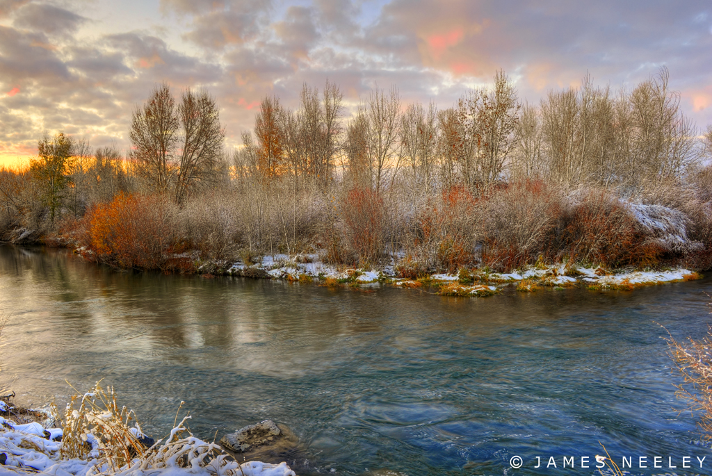
Soft and Cold

Sappy Pine Cone

Osprey-Landing-&-babies
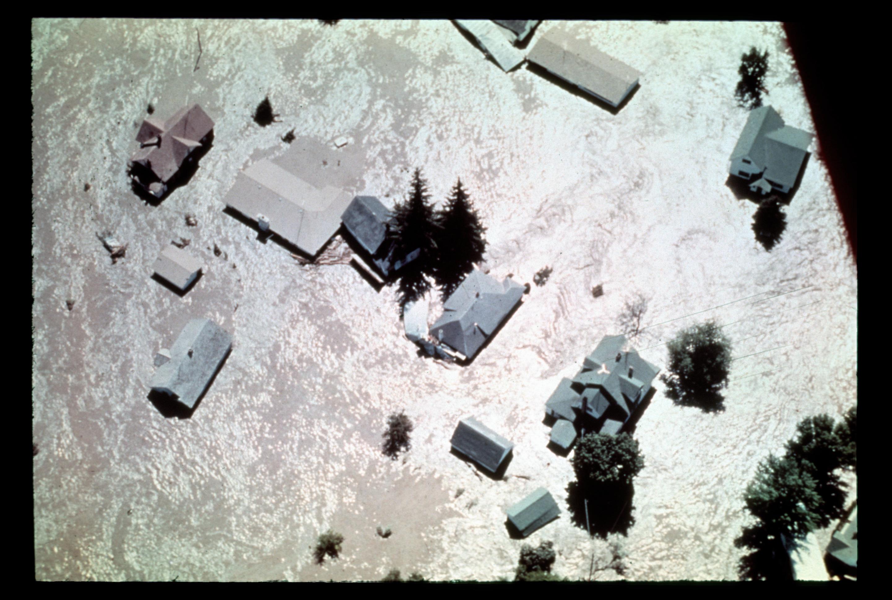
[IDAHO-L-0013] Teton Dam Flood - Wilford
[IDAHO-L-0014] Teton Dam Flood - Wilford

Lion Head
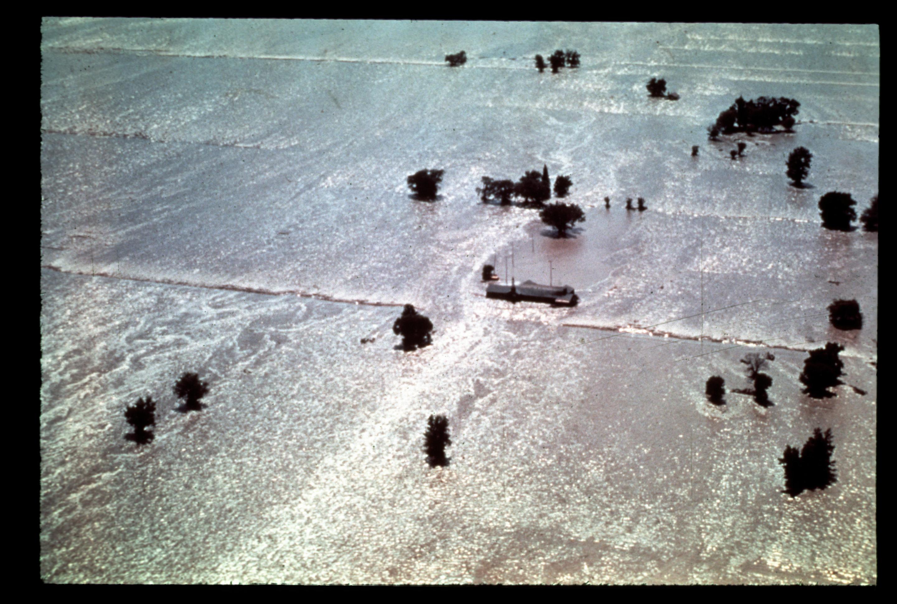
[IDAHO-L-0028] Teton Dam Flood - Rexburg
Miniature Rexburg

Mother & Daughter

The Menan Buttes outside of Rexburg, Idaho. They are extinct volcanoes.
Sand Arch
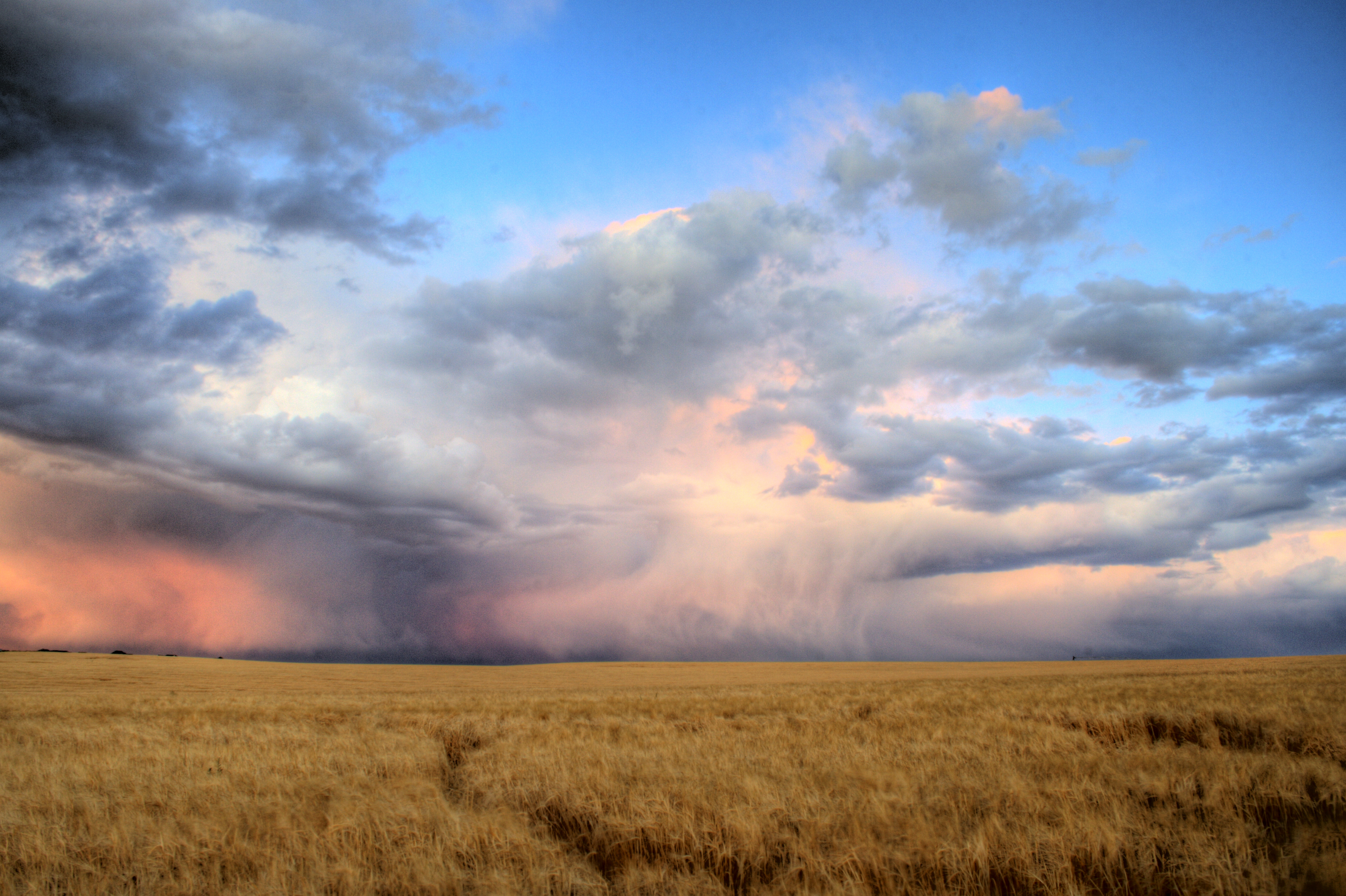
Incoming storm from the west
post sunset

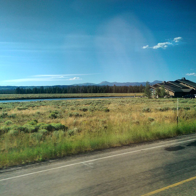
The Windows XP Field of Idaho
Blue Pink Sky

Rexburg is a pretty place too. #rexburg #idaho #landscape #sky #mountains #clouds #crops
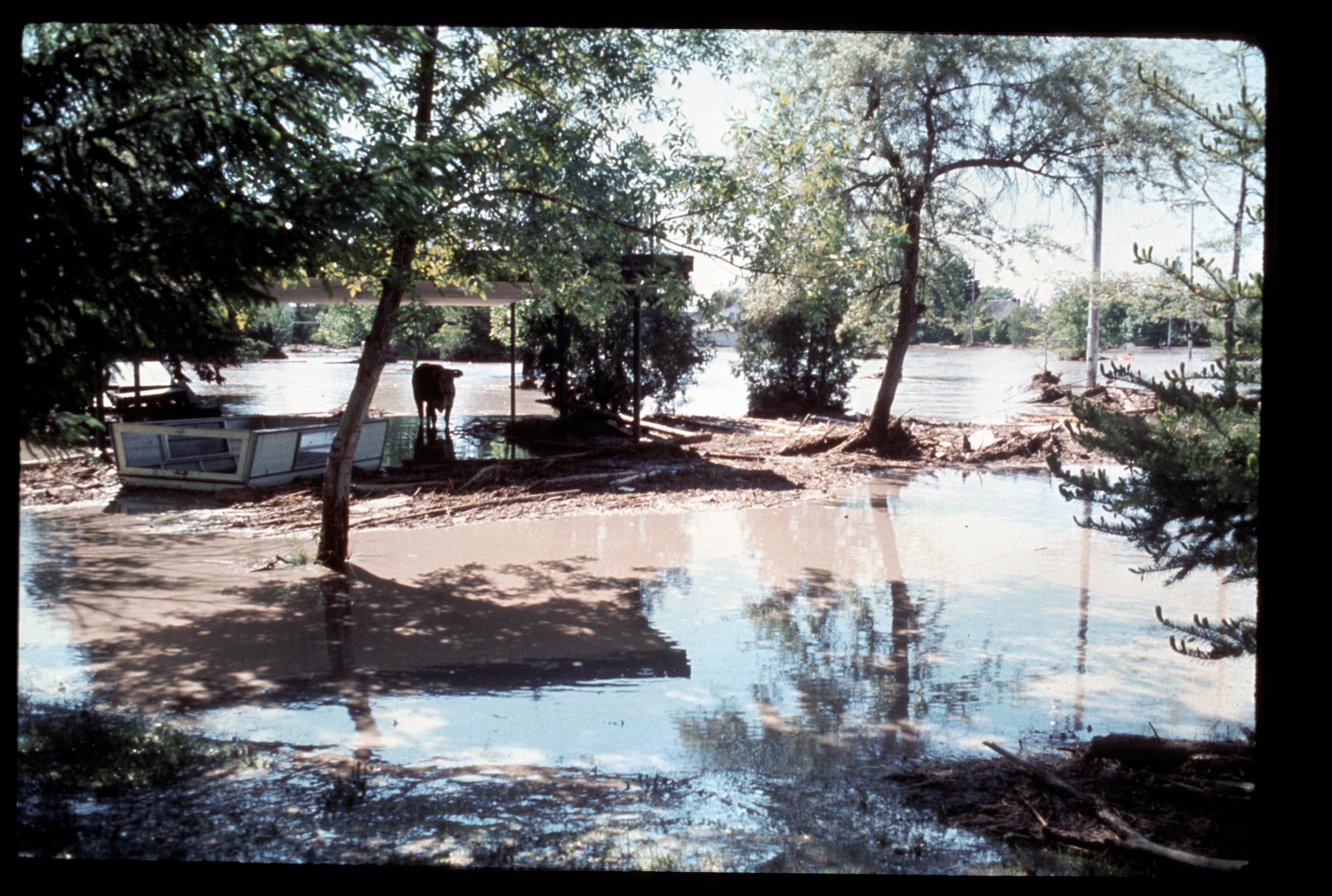
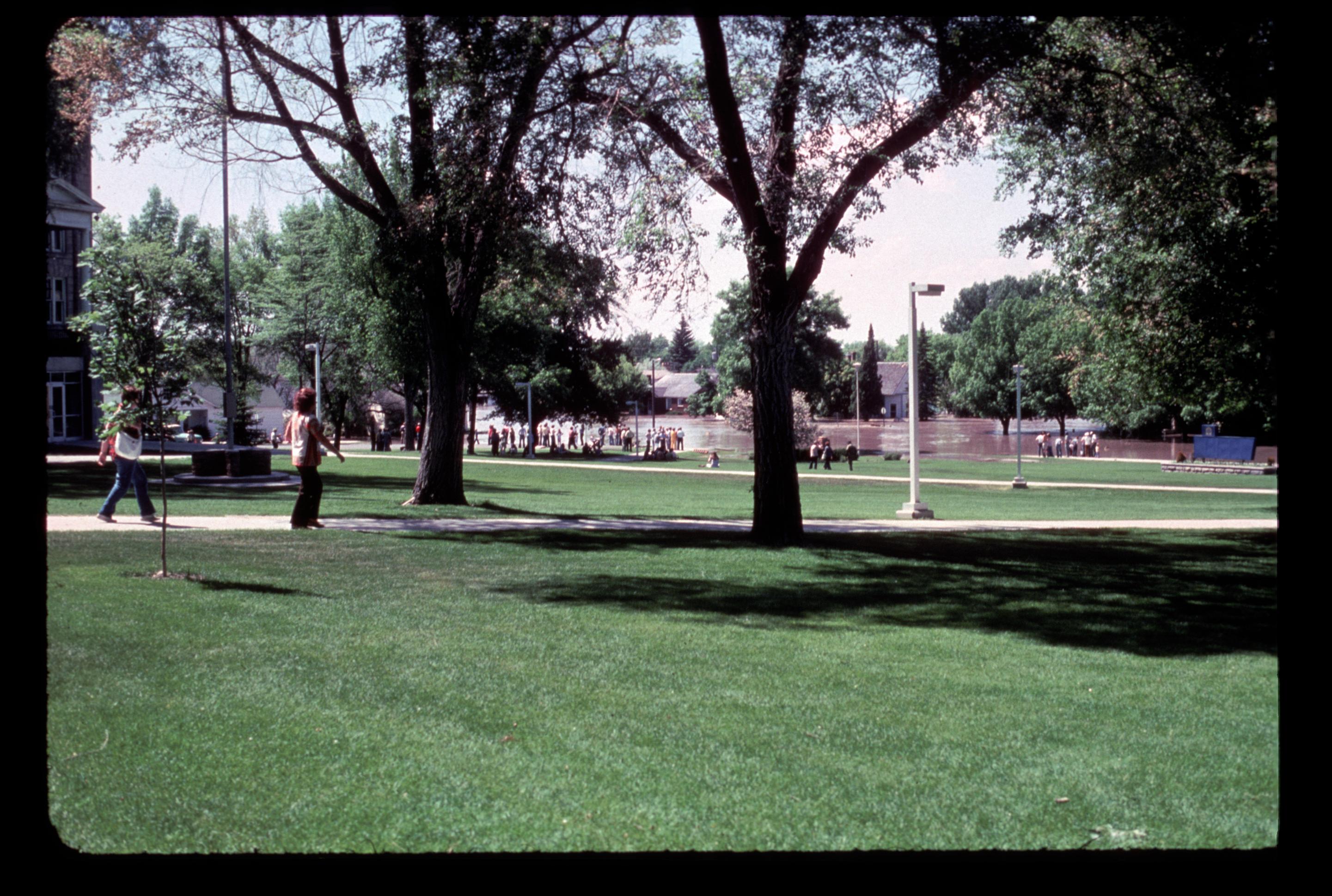
[IDAHO-L-0045] Teton Dam Flood - Rexburg

Sunset Thunderclouds, BYU-Idaho, Rexburg, Idaho
#美國 #美利堅合眾國 #米国 #USA #US ???????????????????????????? #America

Rusty Car Field
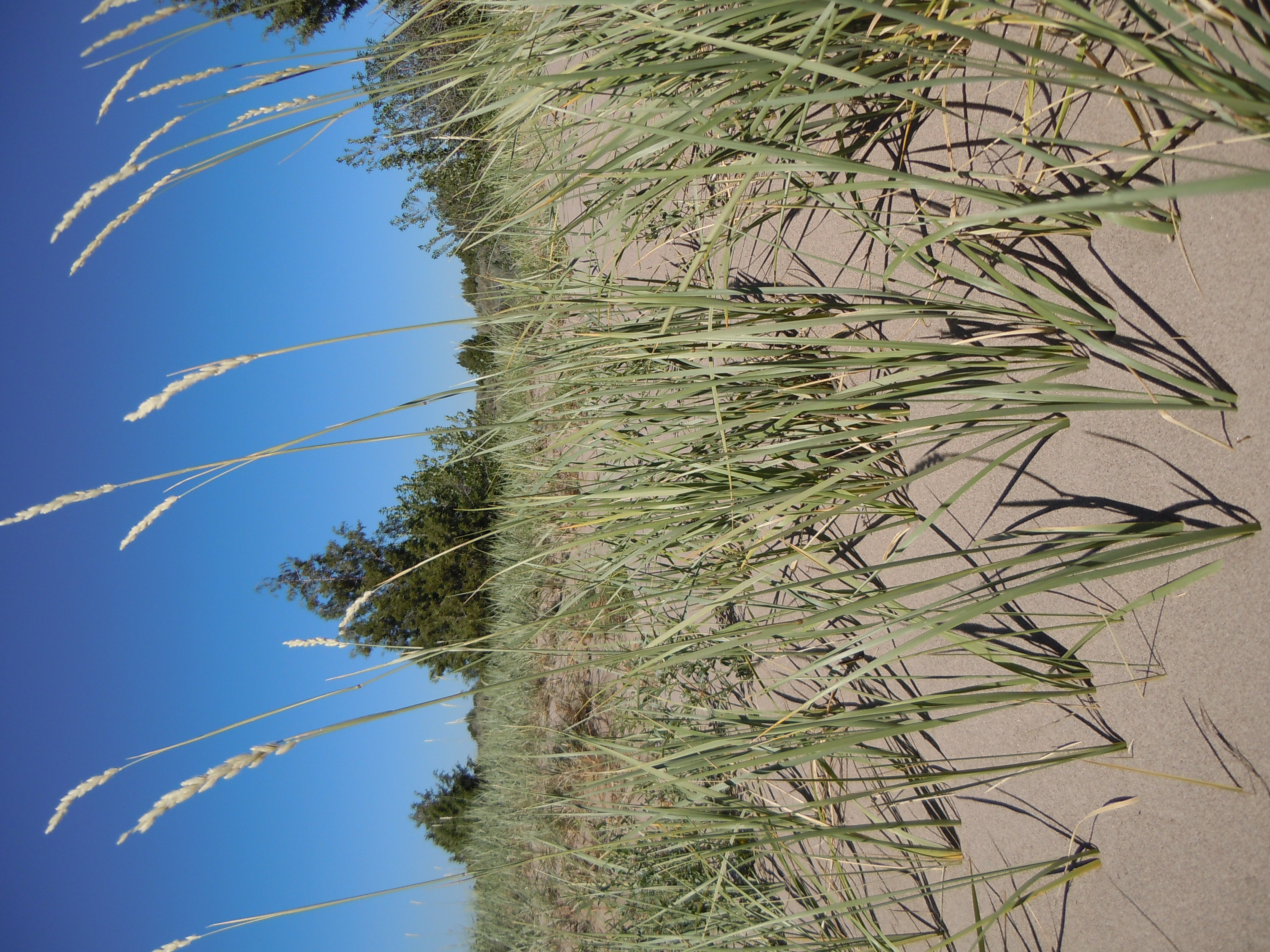
Elymus flavescens

Edit_IMG_1166_Two Guardians

One of my favorite aerial shots around Rexburg. BTS: I had to explain to a police officer what I was doing there. I must have looked like a big threat to the town. He was really cool though. #rexburg #idaho #lds #temple #aerial #flying #airshots #drone #

Ghost Campus

Egin in Winter
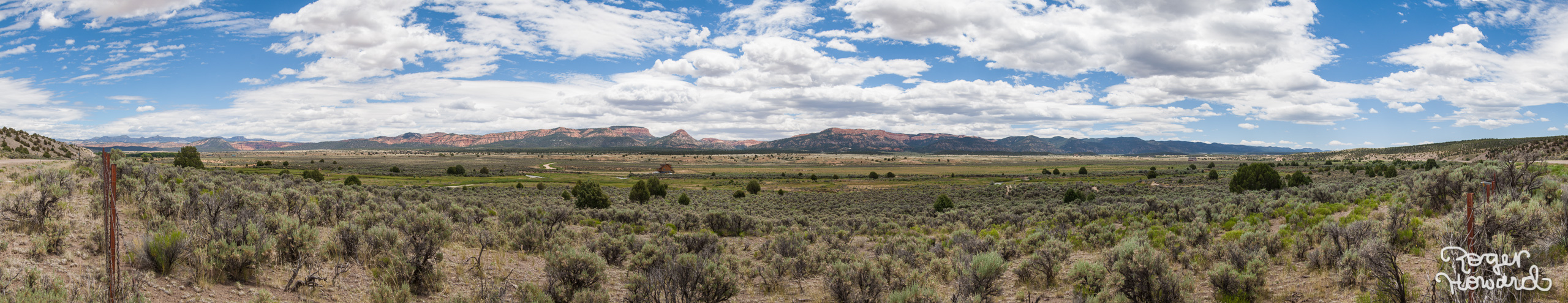
20140627 Idaho Pano 1
Topographic Map of 5 E Center St, Sugar City, ID, USA
Find elevation by address:

Places near 5 E Center St, Sugar City, ID, USA:
Sugar City
South 7th West
South 7th West
South 7th West
2839 E 1000 N
Rexburg Rapids
Main Street Diamonds
322 W 2nd N
Rexburg, Id - Byu Idaho
Rexburg
750 S 2nd E
Teton
558 Park St
350 W 5th S
438 N 2000 E
44 Main St, Teton, ID, USA
317 Teton Hwy
N W, Rexburg, ID, USA
1695 E 500 N
Taylor Ln, Rexburg, ID, USA
Recent Searches:
- Elevation of Corso Fratelli Cairoli, 35, Macerata MC, Italy
- Elevation of Tallevast Rd, Sarasota, FL, USA
- Elevation of 4th St E, Sonoma, CA, USA
- Elevation of Black Hollow Rd, Pennsdale, PA, USA
- Elevation of Oakland Ave, Williamsport, PA, USA
- Elevation of Pedrógão Grande, Portugal
- Elevation of Klee Dr, Martinsburg, WV, USA
- Elevation of Via Roma, Pieranica CR, Italy
- Elevation of Tavkvetili Mountain, Georgia
- Elevation of Hartfords Bluff Cir, Mt Pleasant, SC, USA