Elevation of S W, Rexburg, ID, USA

Location: United States > Idaho > Madison County > Rexburg >

Longitude: -111.81708

Latitude: 43.73871

Elevation: 1490m / 4888feet

Barometric Pressure: 85KPa

Elevation Map:

elevation map of S W, Rexburg, ID, USA

Satellite Map:

Satellite map of S W, Rexburg, ID, USA

Related Photos:

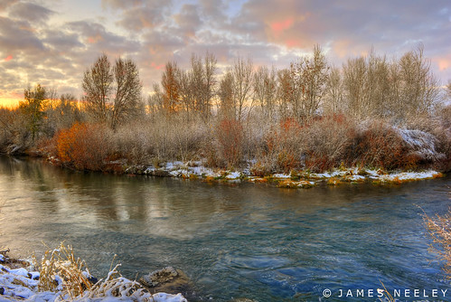
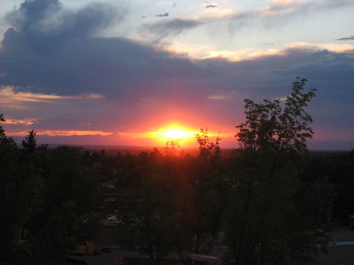
sunset landscape bravo idaho hdr rexburg 5xp jamesneeley
Soft and Cold
brown cold macro tree sticky evergreen fir pitch pinecone sap conifer
Sappy Pine Cone
trees winter sunset snow cold ice milo idaho hdr idahofalls ririe canonef24105mm14lisusm 5dmarkii
Frozen Sunset
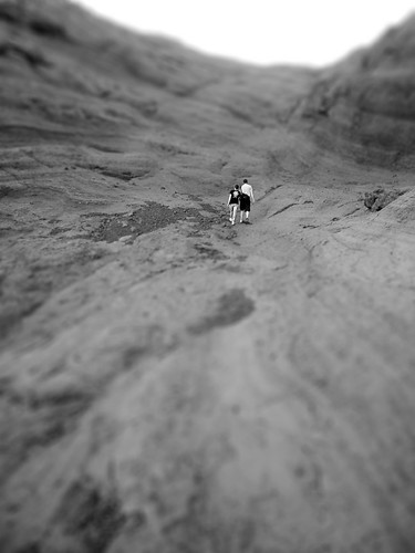
blackandwhite bw mountain rock climb couple rocks hiking walk id hike rockface idaho climbing holdinghands rexburg rmountain
Climbing Couple
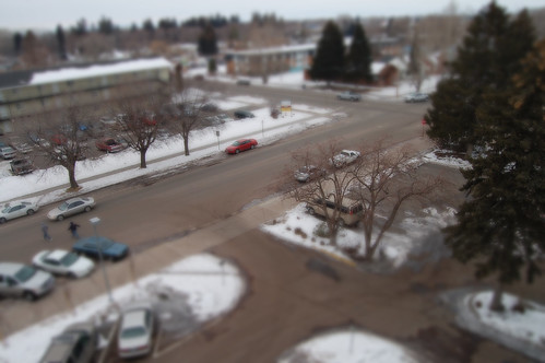
street cars college miniature university id fake idaho housing rexburg tiltshift byui pineview thebiggestgroup pancakeman157 brighamyounguniversityidaho
Miniature Rexburg
idaho snakeriver menan northmenanbutte
From one Butte to Another
park portrait people bw water kids candid daughter mother olympus e510 zd 40150mm
Mother & Daughter
fountain statue nose eyes head lion
Lion Head
flooding flood dam destruction failure idaho disaster collapse damage rexburg tetonriver breech rickscollege tetondam bureauofreclamationbor uppersnakerivervalley tetonbasinproject sporibuilding
[IDAHO-L-0028] Teton Dam Flood - Rexburg
hdr
The Menan Buttes outside of Rexburg, Idaho. They are extinct volcanoes.
county sunset idaho madison rexburg beaverdickpark
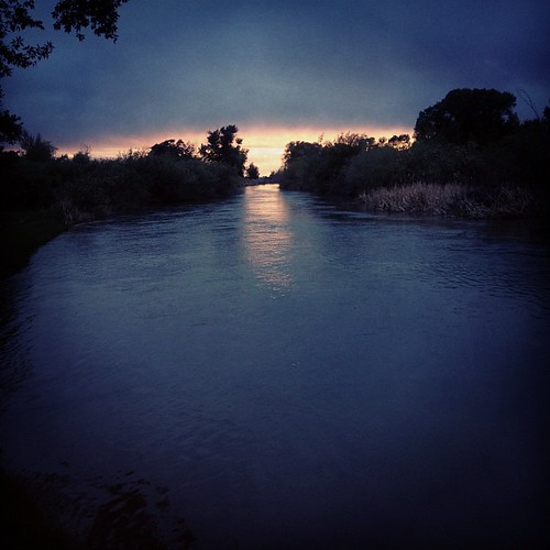
post sunset
square idaho squareformat sutro ririe iphoneography instagramapp uploaded:by=instagram foursquare:venue=4de9a41922713dd9737f21eb
Flower field.
blue windows sky green field clouds wheat idaho rexburg
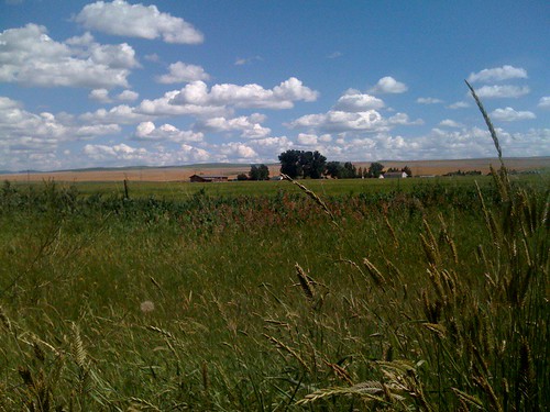
The Windows XP Field of Idaho
sky field clouds empty wheat idaho rexburg
Blue Pink Sky
eyefi
_K5P7519.JPG
Where I parked
eyefi
_K5P7524.JPG
square squareformat amaro iphoneography instagramapp uploaded:by=instagram foursquare:venue=4becd44a6b88c9b632938762
Rexburg is a pretty place too. #rexburg #idaho #landscape #sky #mountains #clouds #crops
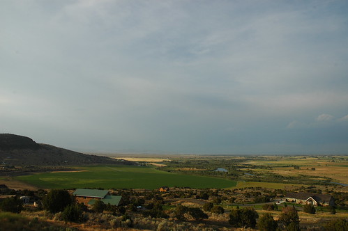
road sunset house mountain field grass farmhouse truck model afternoon farm hill fake idaho tiny crops rexburg tiltshift rmountain pseudotiltshift
Tiny Farm House
cow flooding flood dam destruction failure idaho disaster collapse damage smithpark rexburg tetonriver breech tetondam bureauofreclamationbor uppersnakerivervalley tetonbasinproject
[IDAHO-L-0045] Teton Dam Flood - Rexburg
idaho madison ricks rexburg byu byui byuidaho
Sunset Thunderclouds, BYU-Idaho, Rexburg, Idaho
Hunting beaver. No, really.
Menan Butte
square squareformat iphoneography instagramapp uploaded:by=instagram foursquare:venue=4b7e48cef964a52050e82fe3
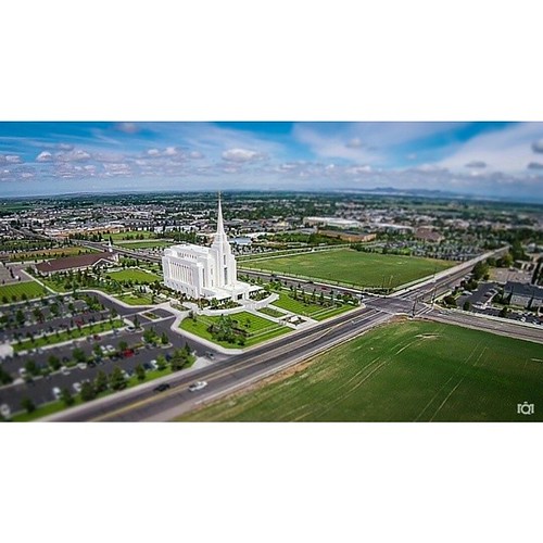
One of my favorite aerial shots around Rexburg. BTS: I had to explain to a police officer what I was doing there. I must have looked like a big threat to the town. He was really cool though. #rexburg #idaho #lds #temple #aerial #flying #airshots #drone #
school winter snow college d50 walking nikon id quad nikond50 idaho mc taylor ghosts rexburg byui thebiggestgroup pancakeman157 brighamyounguniversityidaho taylorquad
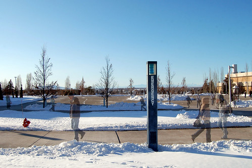
Ghost Campus
unitedstates farm pano idaho sugarcity
20140627 Idaho Pano 1
photo.jpg
idaho madison ricks rexburg byu byui byuidaho
Sunset, BYU-Idaho, Rexburg, Idaho
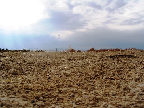
brown sun up clouds way temple path hard ground center idaho dirt rays rexburg byuidaho
Dirt and the Rexburg Temple