Elevation of Reek Road, Reek Rd, Columbia, NC, USA
Location: United States > North Carolina > Tyrrell County > Gum Neck >
Longitude: -76.10967
Latitude: 35.7126779
Elevation: 1m / 3feet
Barometric Pressure: 0KPa
Related Photos:

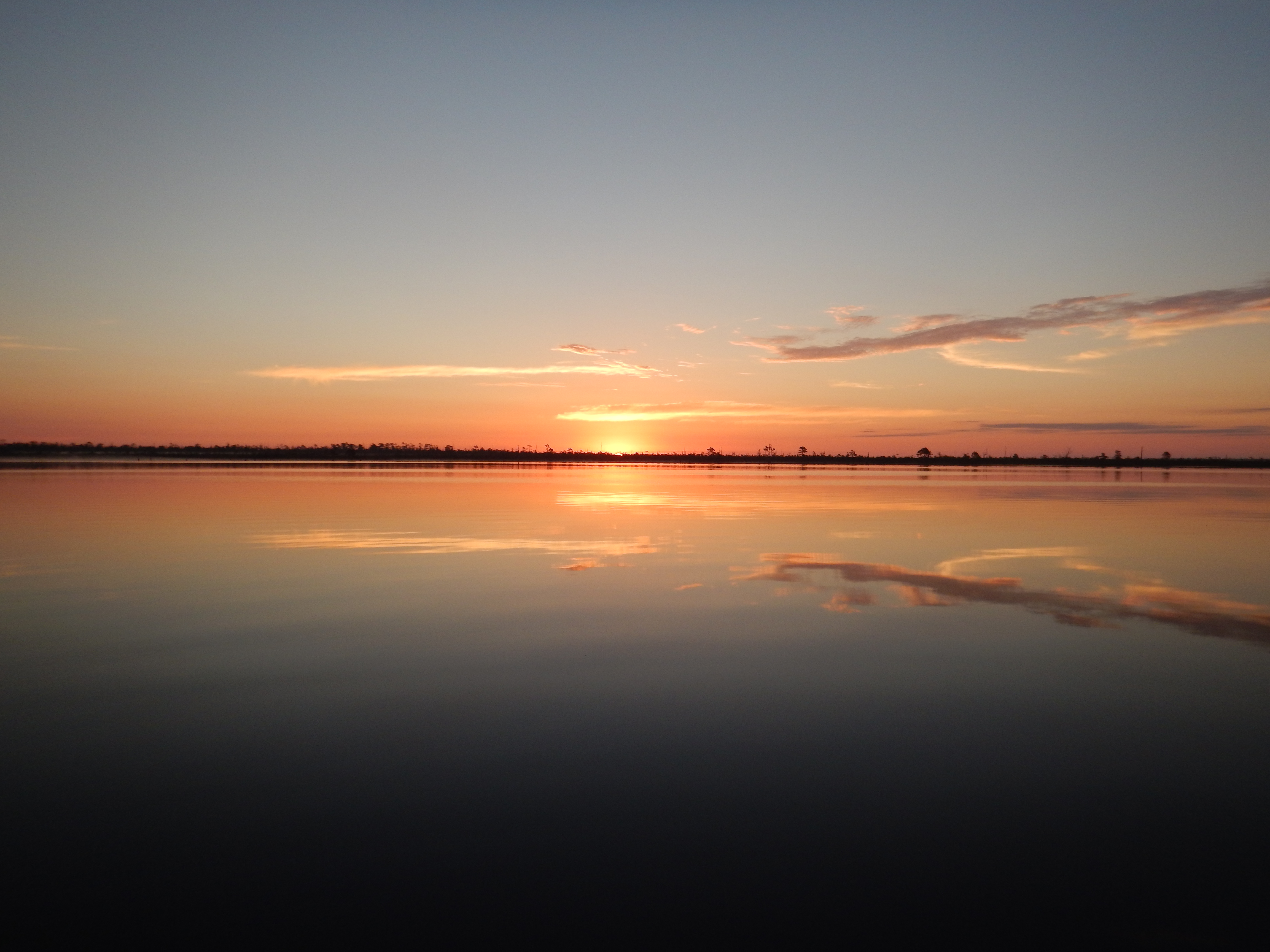
DSCN0842

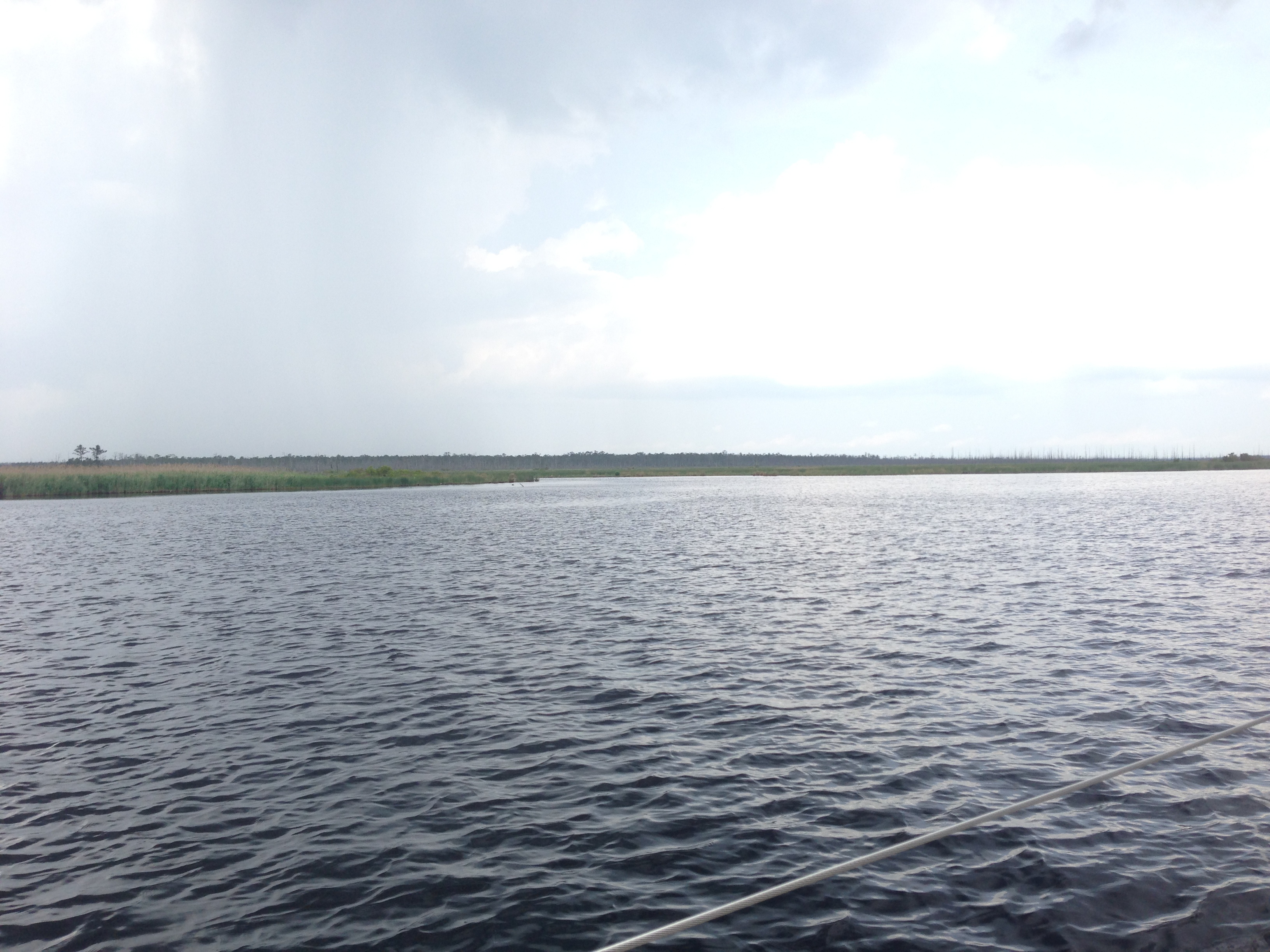
DSCN0859
DSCN0862

DSCN0863
IMG_0877

Orion from the southern U.S.
Topographic Map of Reek Road, Reek Rd, Columbia, NC, USA
Find elevation by address:

Places near Reek Road, Reek Rd, Columbia, NC, USA:
Gum Neck
2813 N Gum Neck Rd
Gum Neck
Dunbar Canal
Fairfield
Tyrrell County
East Lake
Old Hwy 64, Columbia, NC, USA
Mill's Rd, Columbia, NC, USA
Fairfield
20 Albemarle Shore Ext
3970 Newlands Rd
6338 Newlands Rd
805 Swamp Rd
34306 Us-264
100 Roper Ln
East Lake
US-64, Manns Harbor, NC, USA
Engelhard
110 Lazy Ln
Recent Searches:
- Elevation of Clifton Down, Clifton, Bristol, City of Bristol, England, BS8 3HU, United Kingdom
- Elevation map of Auvergne-Rhône-Alpes, France
- Elevation map of Upper Savoy, Auvergne-Rhône-Alpes, France
- Elevation of Chamonix-Mont-Blanc, Upper Savoy, Auvergne-Rhône-Alpes, France
- Elevation of 908, Northwood Drive, Bridge Field, Chesapeake, Virginia, 23322, USA
- Elevation map of Nagano Prefecture, Japan
- Elevation of 587, Bascule Drive, Oakdale, Stanislaus County, California, 95361, USA
- Elevation of Stadion Wankdorf, Sempachstrasse, Breitfeld, Bern, Bern-Mittelland administrative district, Bern, 3014, Switzerland
- Elevation of Z024, 76, Emil-von-Behring-Straße, Marbach, Marburg, Landkreis Marburg-Biedenkopf, Hesse, 35041, Germany
- Elevation of Gaskill Road, Hunts Cross, Liverpool, England, L24 9PH, United Kingdom
- Elevation of Speke, Liverpool, England, L24 9HD, United Kingdom
- Elevation of Seqirus, 475, Green Oaks Parkway, Holly Springs, Wake County, North Carolina, 27540, USA
- Elevation of Pasing, Munich, Bavaria, 81241, Germany
- Elevation of 24, Auburn Bay Crescent SE, Auburn Bay, Calgary, Alberta, T3M 0A6, Canada
- Elevation of Denver, 2314, Arapahoe Street, Five Points, Denver, Colorado, 80205, USA
- Elevation of Community of the Beatitudes, 2924, West 43rd Avenue, Sunnyside, Denver, Colorado, 80211, USA
- Elevation map of Litang County, Sichuan, China
- Elevation map of Madoi County, Qinghai, China
- Elevation of 3314, Ohio State Route 114, Payne, Paulding County, Ohio, 45880, USA
- Elevation of Sarahills Drive, Saratoga, Santa Clara County, California, 95070, USA