Elevation of Gum Neck, NC, USA
Location: United States > North Carolina >
Longitude: -76.143252
Latitude: 35.7301647
Elevation: 1m / 3feet
Barometric Pressure: 101KPa
Elevation Map:
Satellite Map:
Related Photos:

DSCN0842

DSCN0859
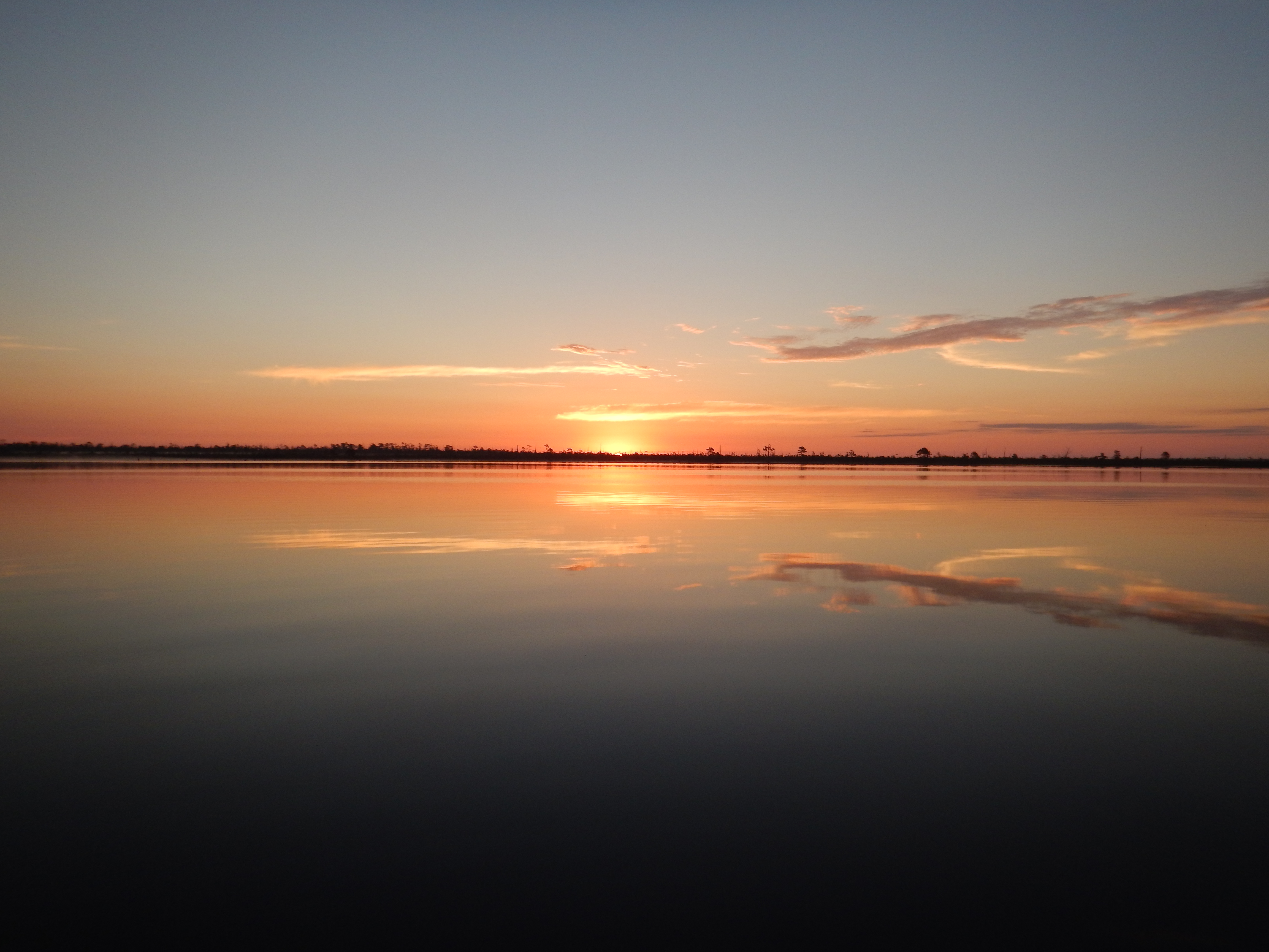
DSCN0862

DSCN0863
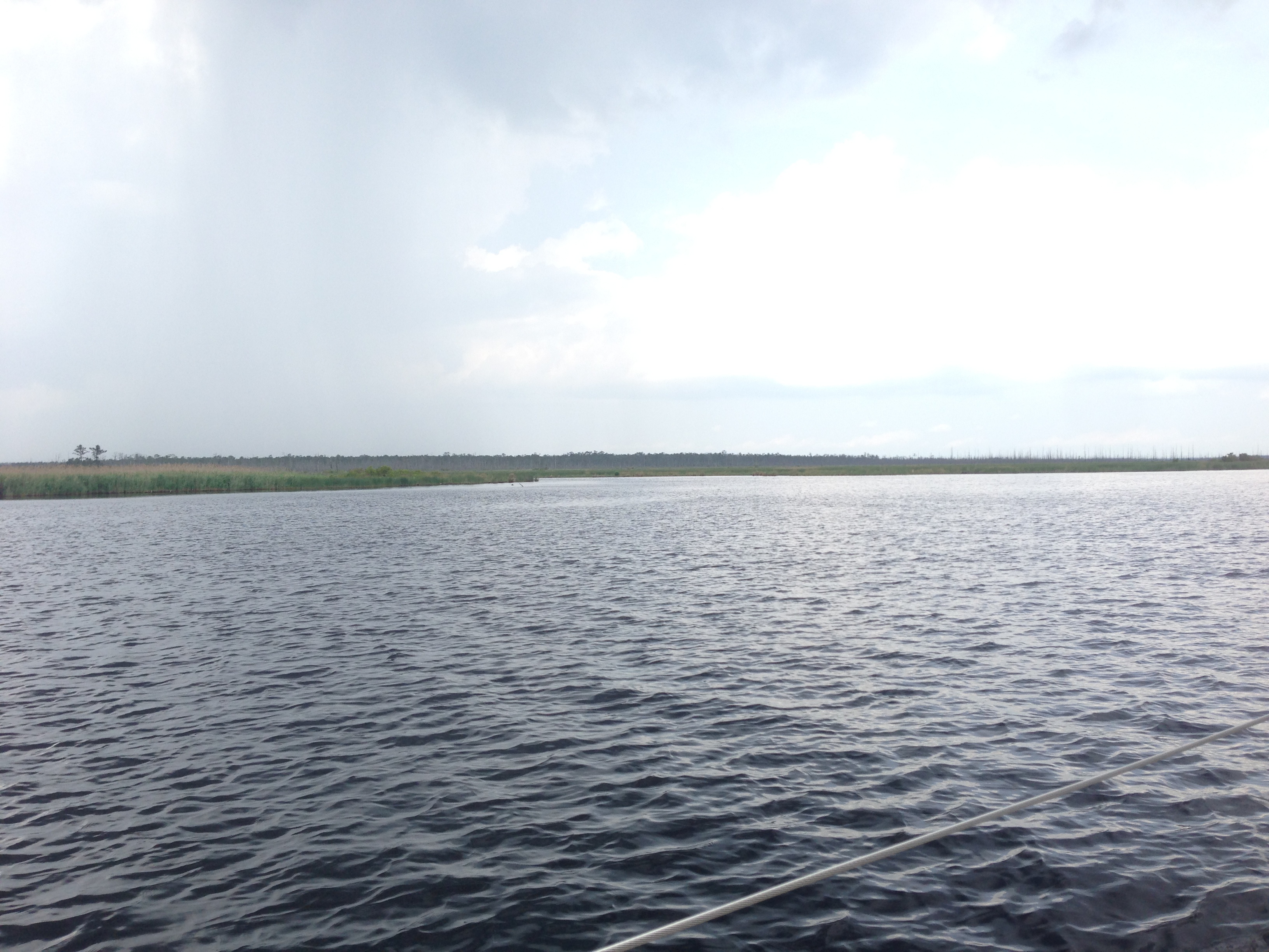
IMG_0877

Orion from the southern U.S.
Topographic Map of Gum Neck, NC, USA
Find elevation by address:

Places near Gum Neck, NC, USA:
2813 N Gum Neck Rd
Gum Neck
Reek Road
Dunbar Canal
Tyrrell County
3970 Newlands Rd
Mill's Rd, Columbia, NC, USA
6338 Newlands Rd
20 Albemarle Shore Ext
Fairfield
Old Hwy 64, Columbia, NC, USA
Fairfield
Columbia
East Lake
415 Virginia Ave
900 East Waterway Drive
820 East Waterway Drive
East Lake
US-64, Manns Harbor, NC, USA
Travis School Rd, Columbia, NC, USA
Recent Searches:
- Elevation of Corso Fratelli Cairoli, 35, Macerata MC, Italy
- Elevation of Tallevast Rd, Sarasota, FL, USA
- Elevation of 4th St E, Sonoma, CA, USA
- Elevation of Black Hollow Rd, Pennsdale, PA, USA
- Elevation of Oakland Ave, Williamsport, PA, USA
- Elevation of Pedrógão Grande, Portugal
- Elevation of Klee Dr, Martinsburg, WV, USA
- Elevation of Via Roma, Pieranica CR, Italy
- Elevation of Tavkvetili Mountain, Georgia
- Elevation of Hartfords Bluff Cir, Mt Pleasant, SC, USA