Elevation of Red Springs, NC, USA
Location: United States > North Carolina > Robeson County >
Longitude: -79.166140
Latitude: 34.8073025
Elevation: 60m / 197feet
Barometric Pressure: 101KPa
Elevation Map:
Satellite Map:
Related Photos:

Dodge Dart
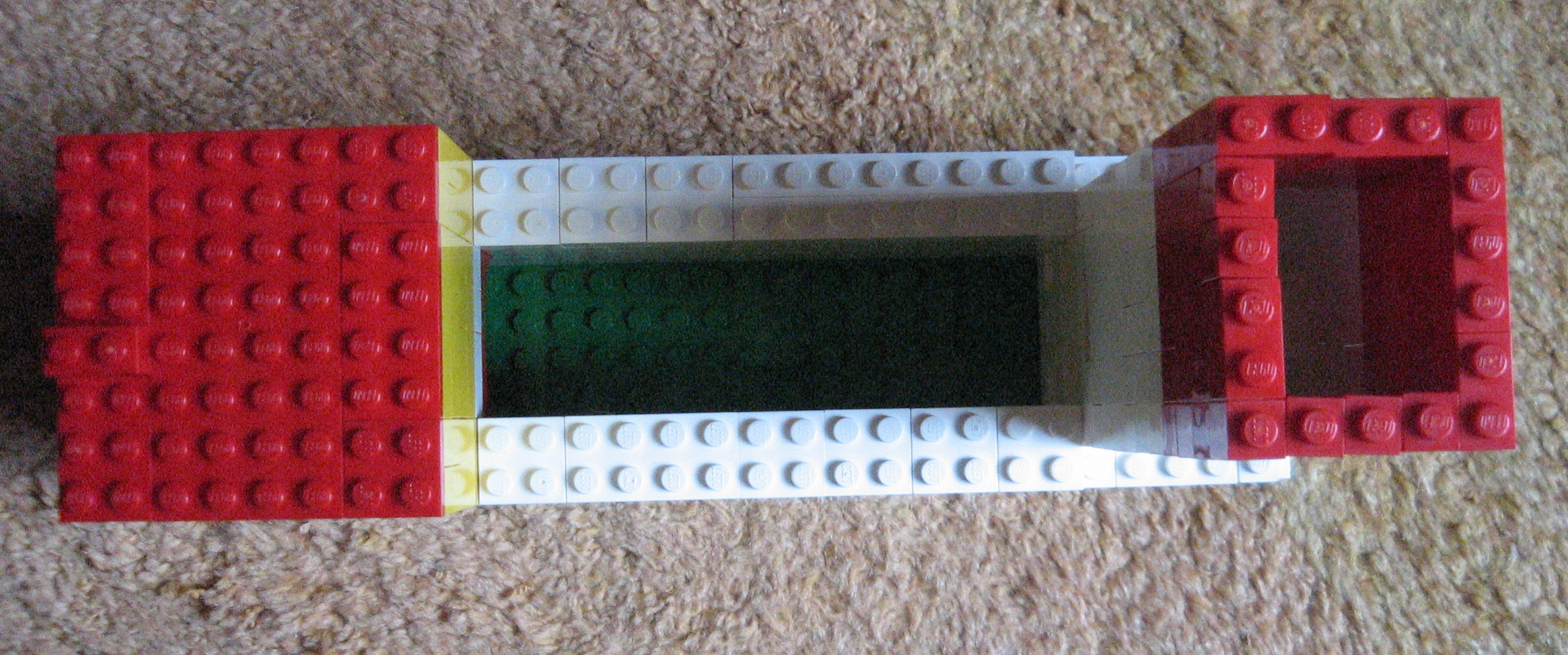
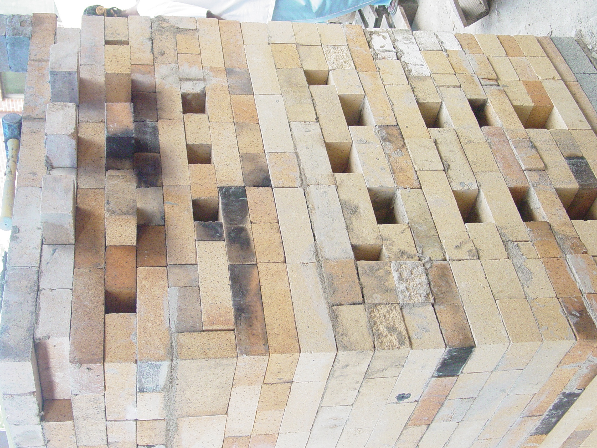
Lego Train Kiln
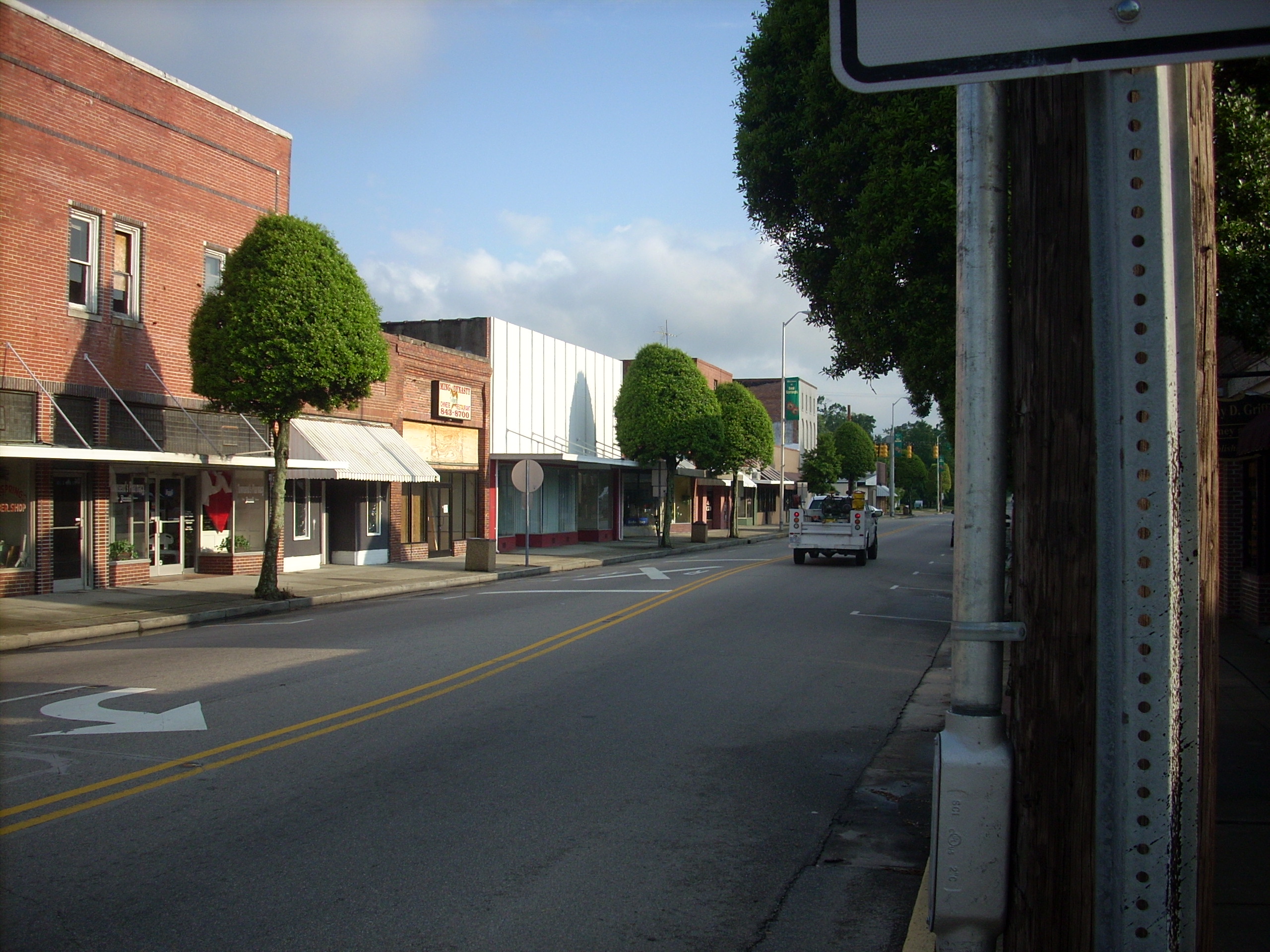
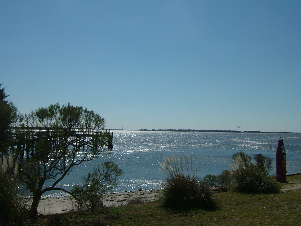
Red Springs
Lego Train Kiln
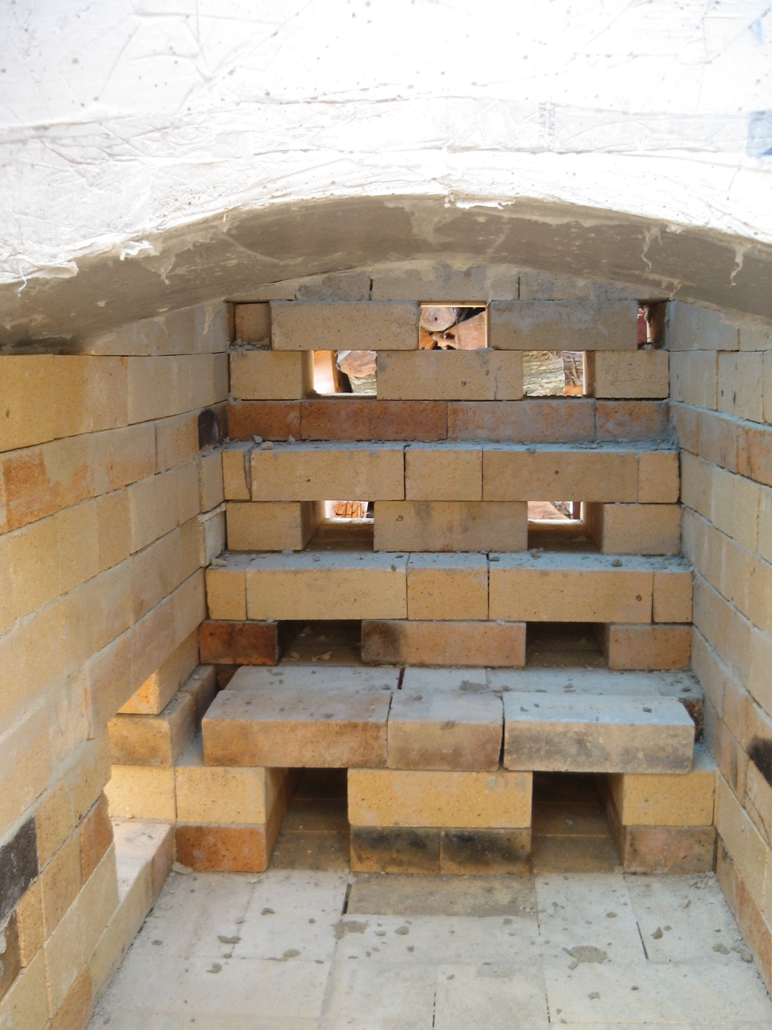
Day 12
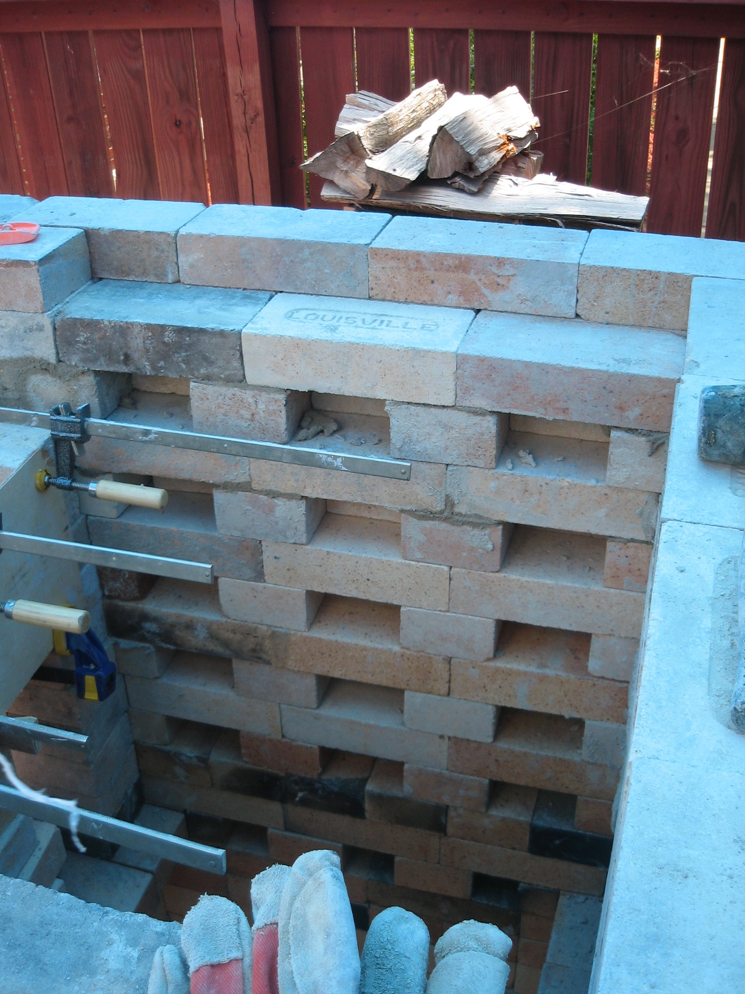
Day 11 View showing first six primary air ports above grate bars
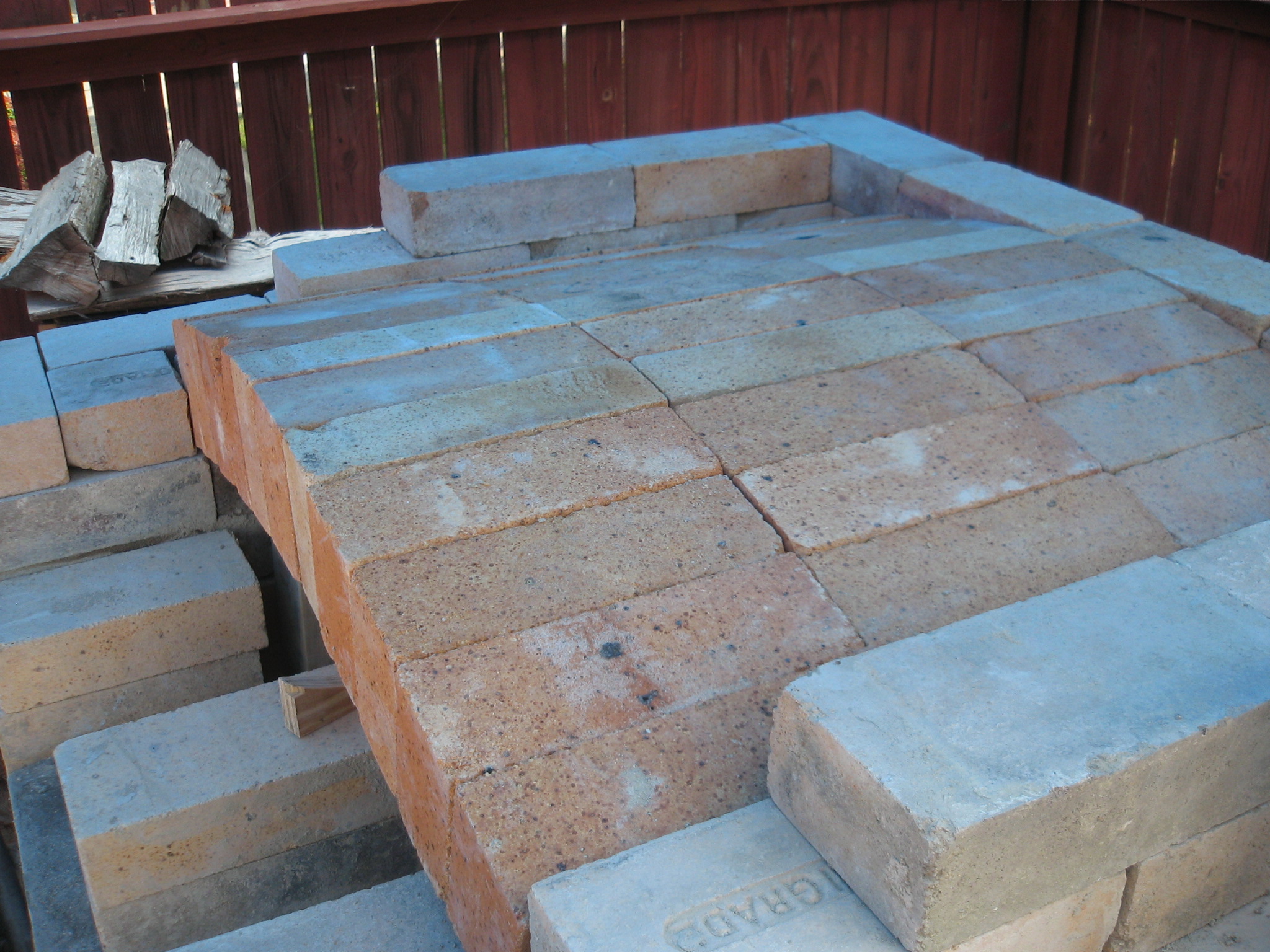
Day 13 top view
Day 12 Firebox view of scew area set up for arch form
Day 10 side view of form showing the 19.25 side wall of arch form
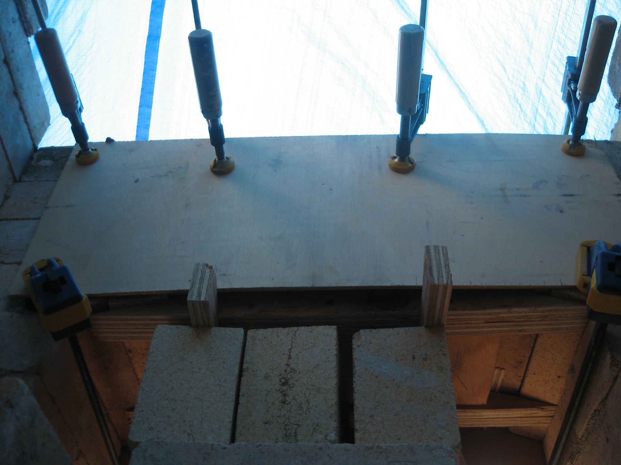
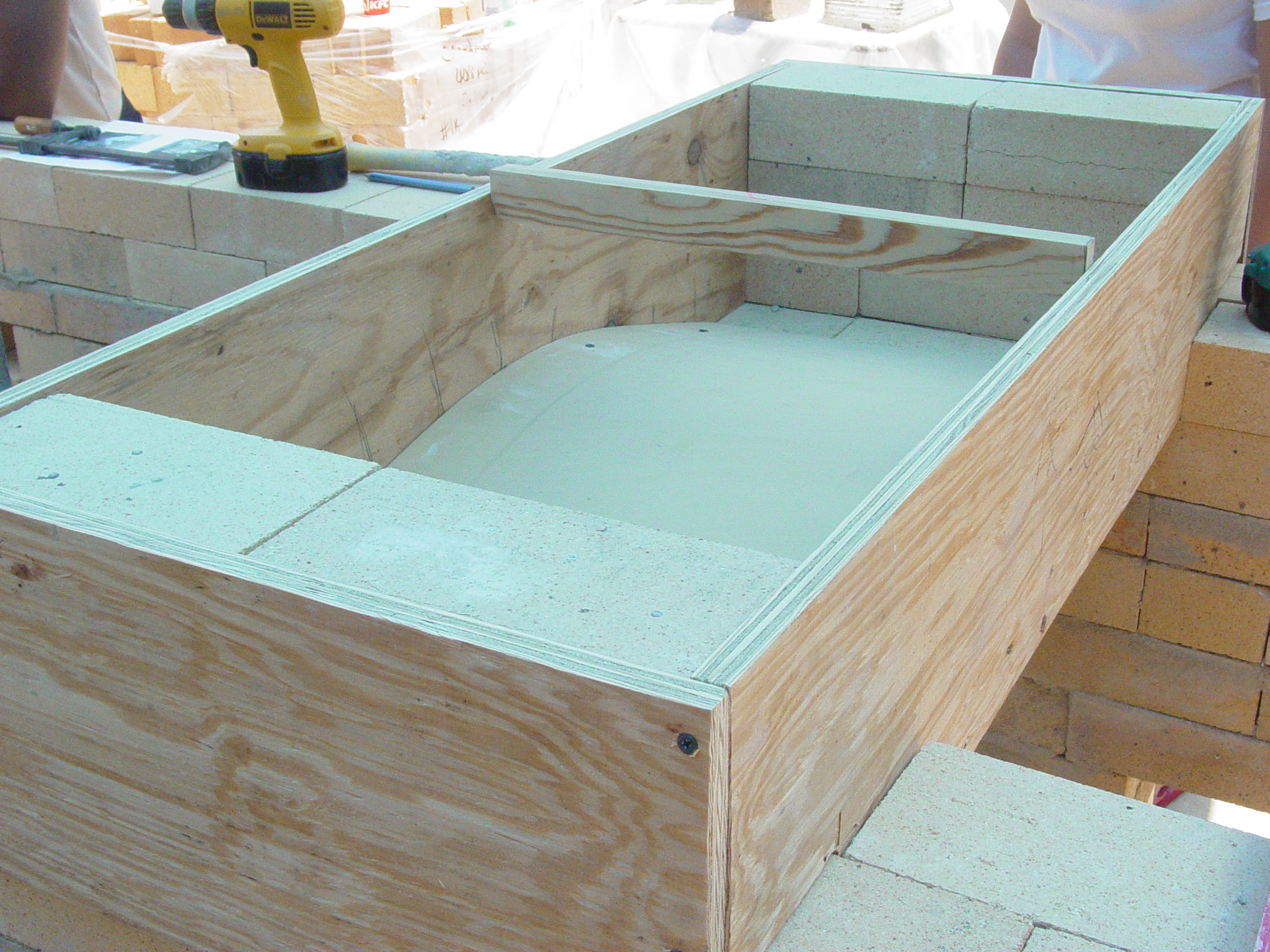
Day 12 inside view of mold for leveling firebox door arch
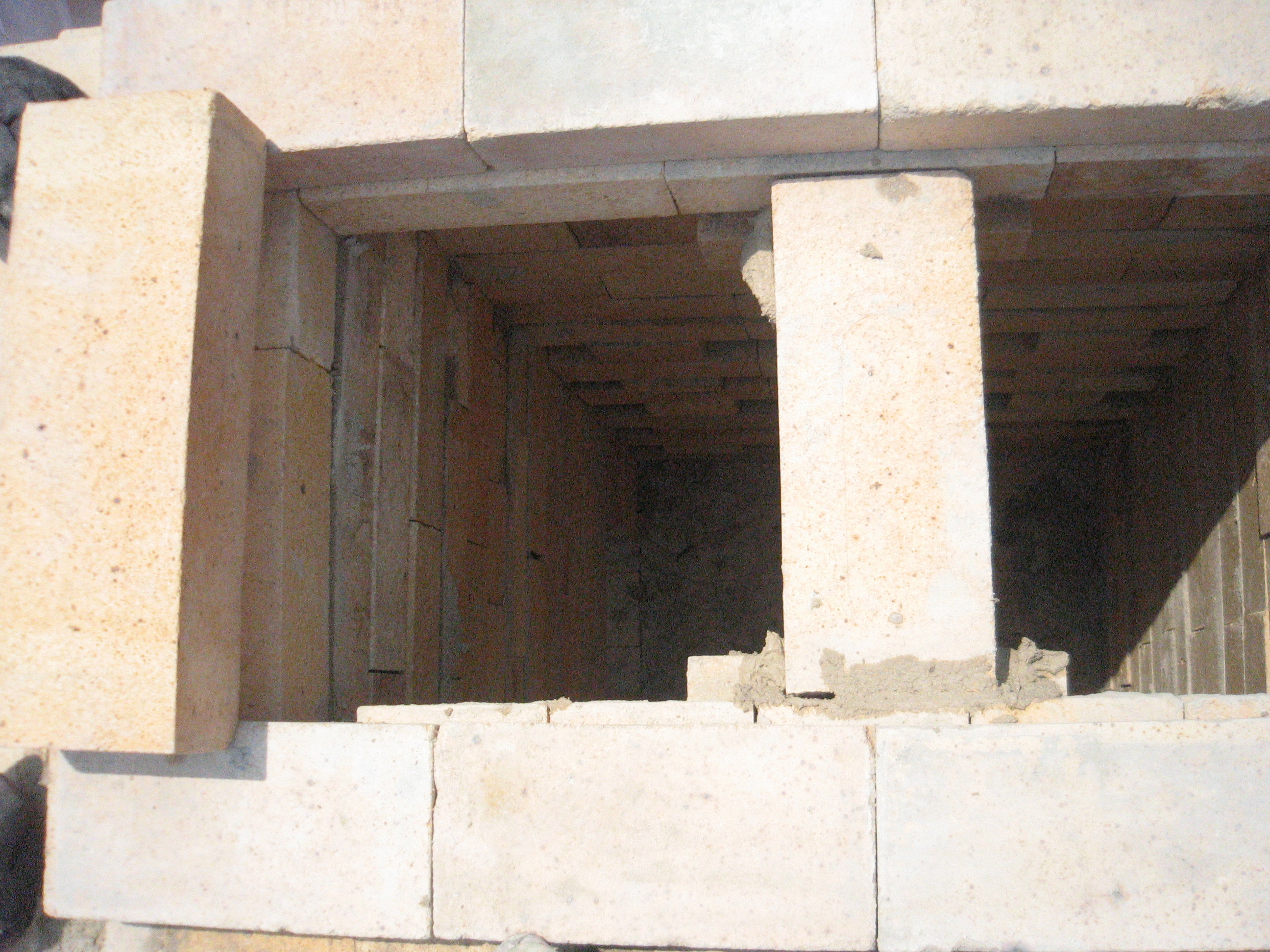
Day 12 Throat Arch
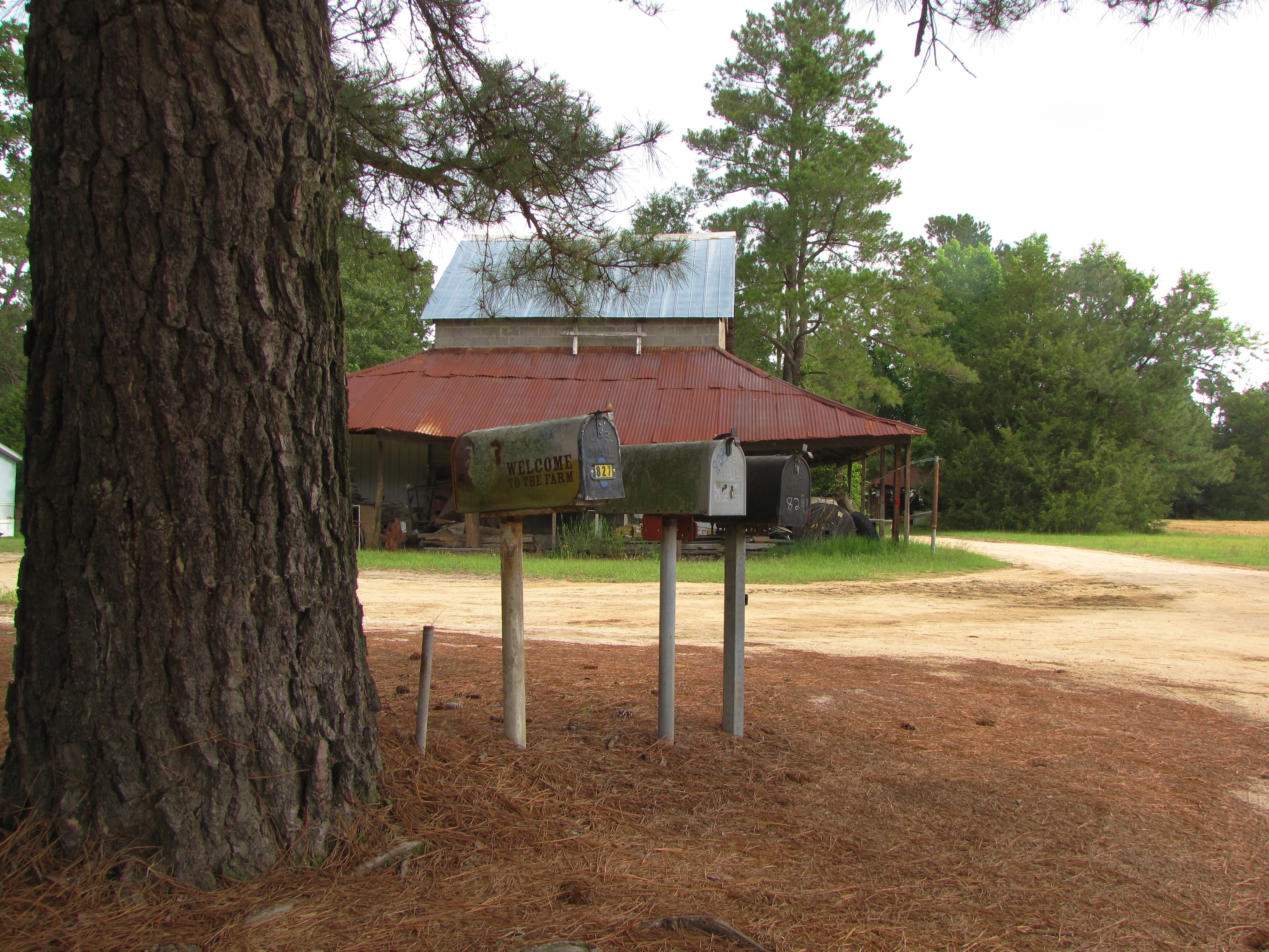
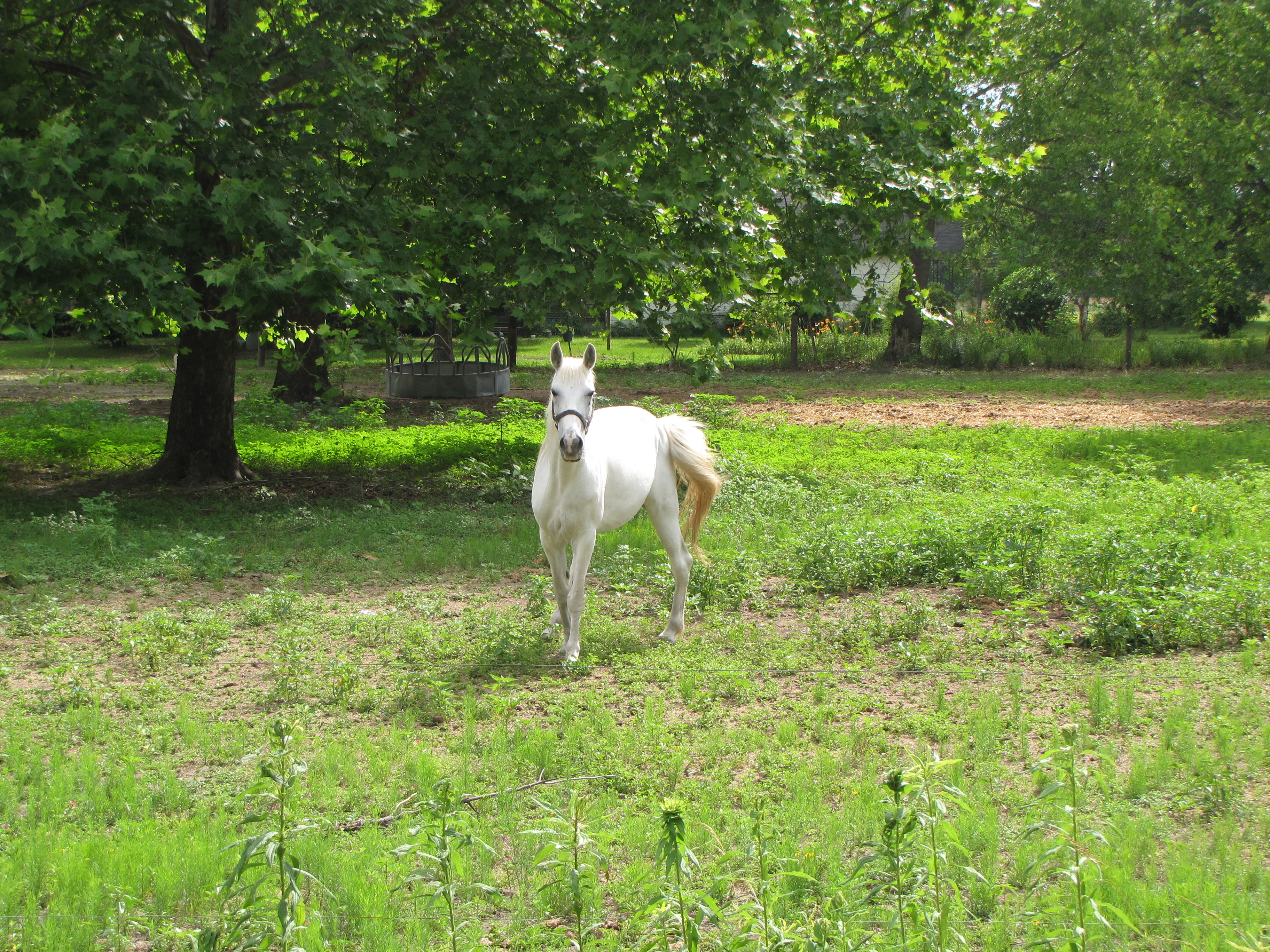
Welcome to the Farm

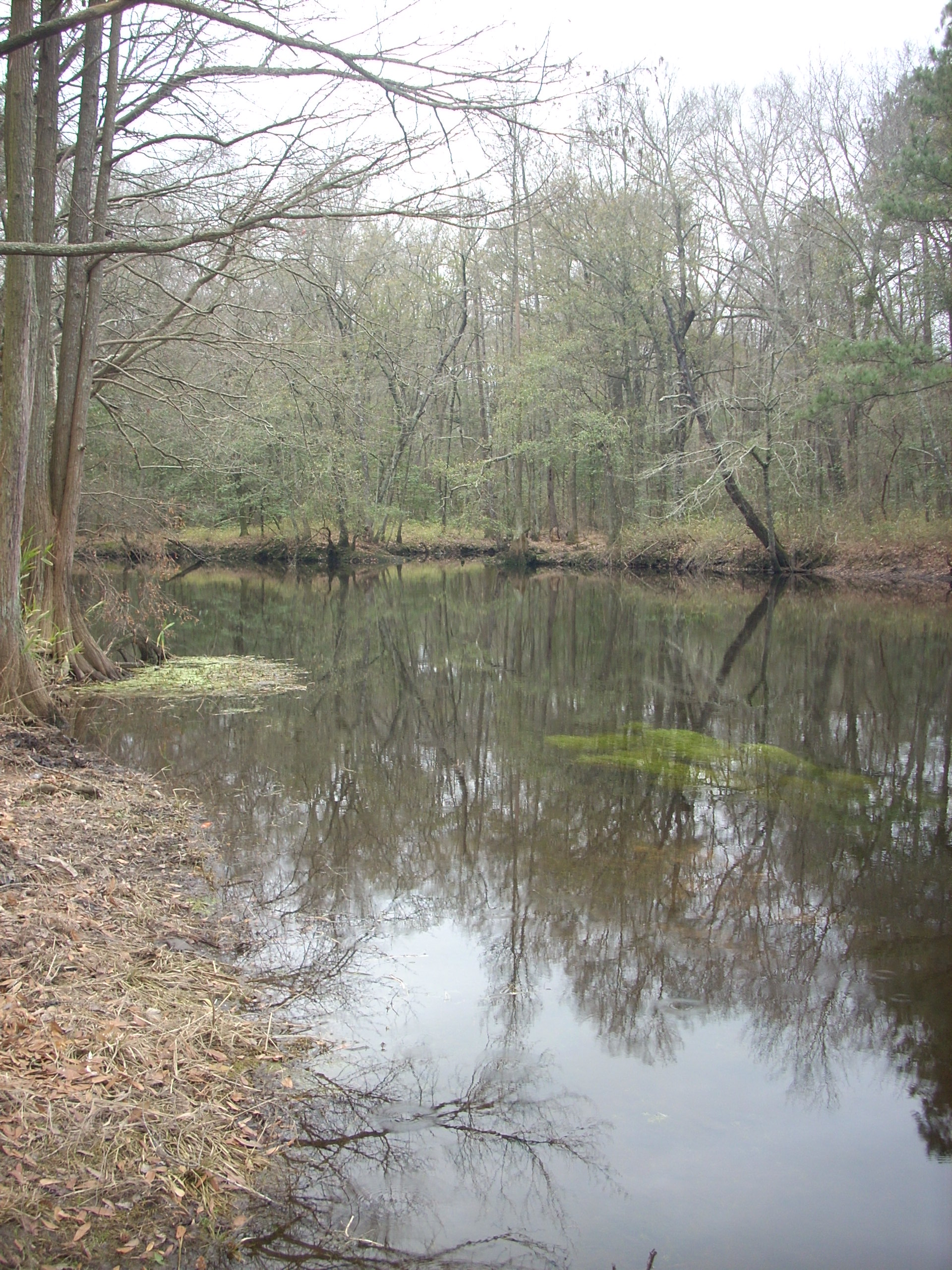
February Swamp
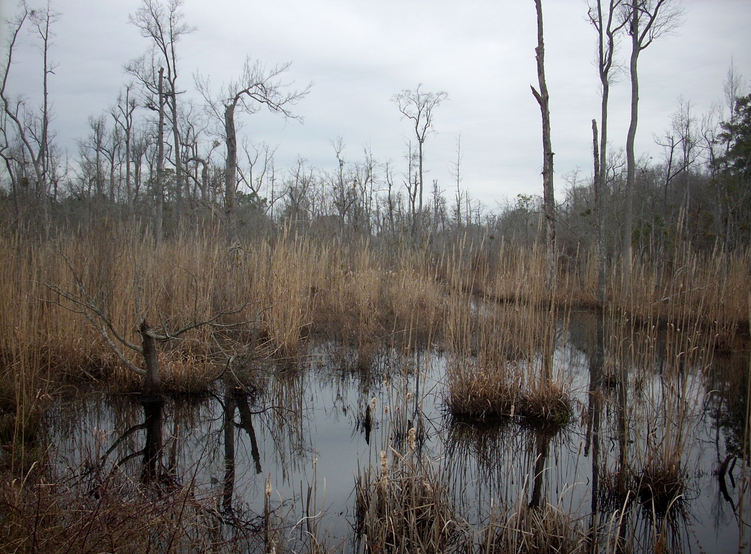
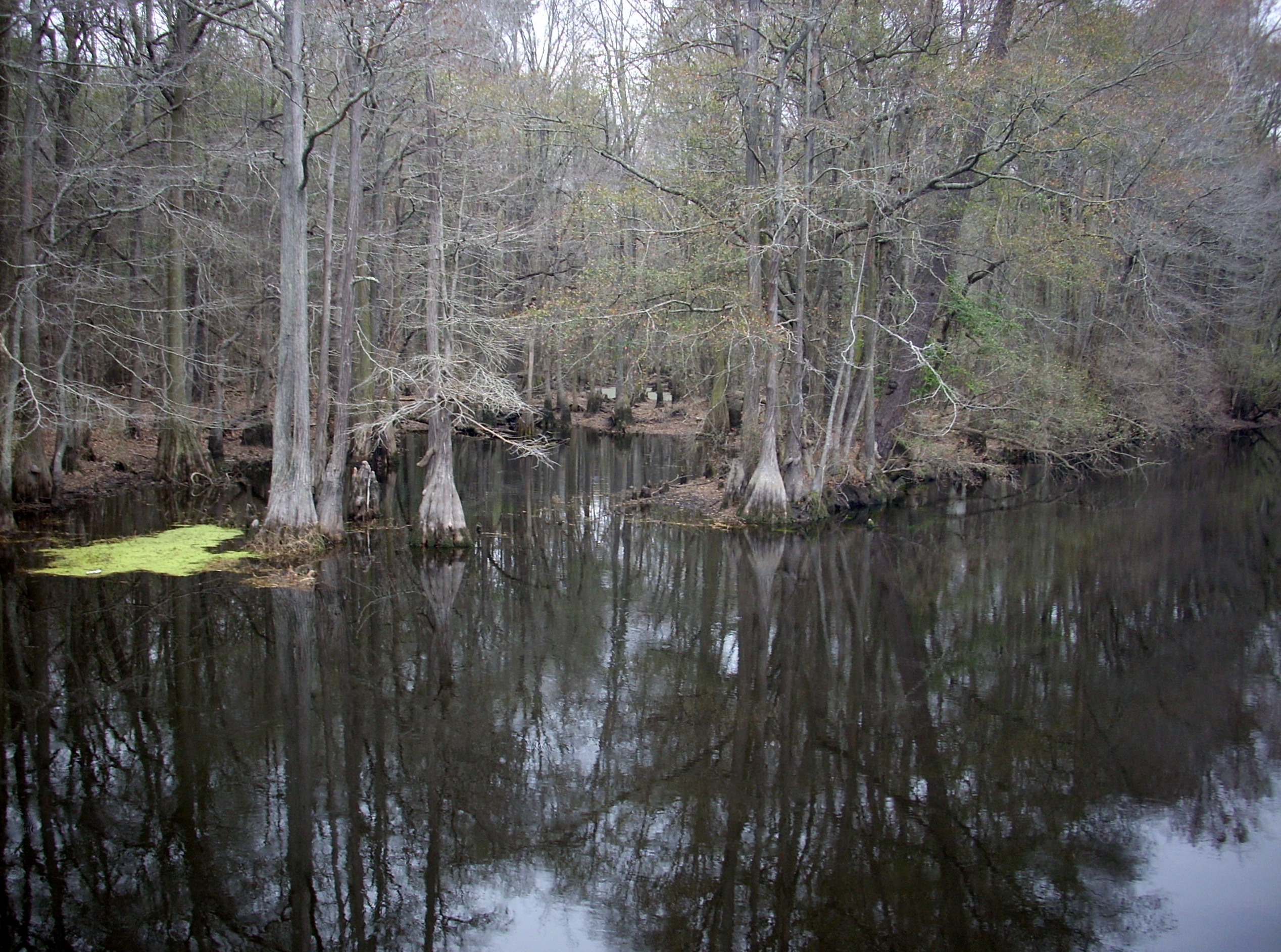
Wetland 2
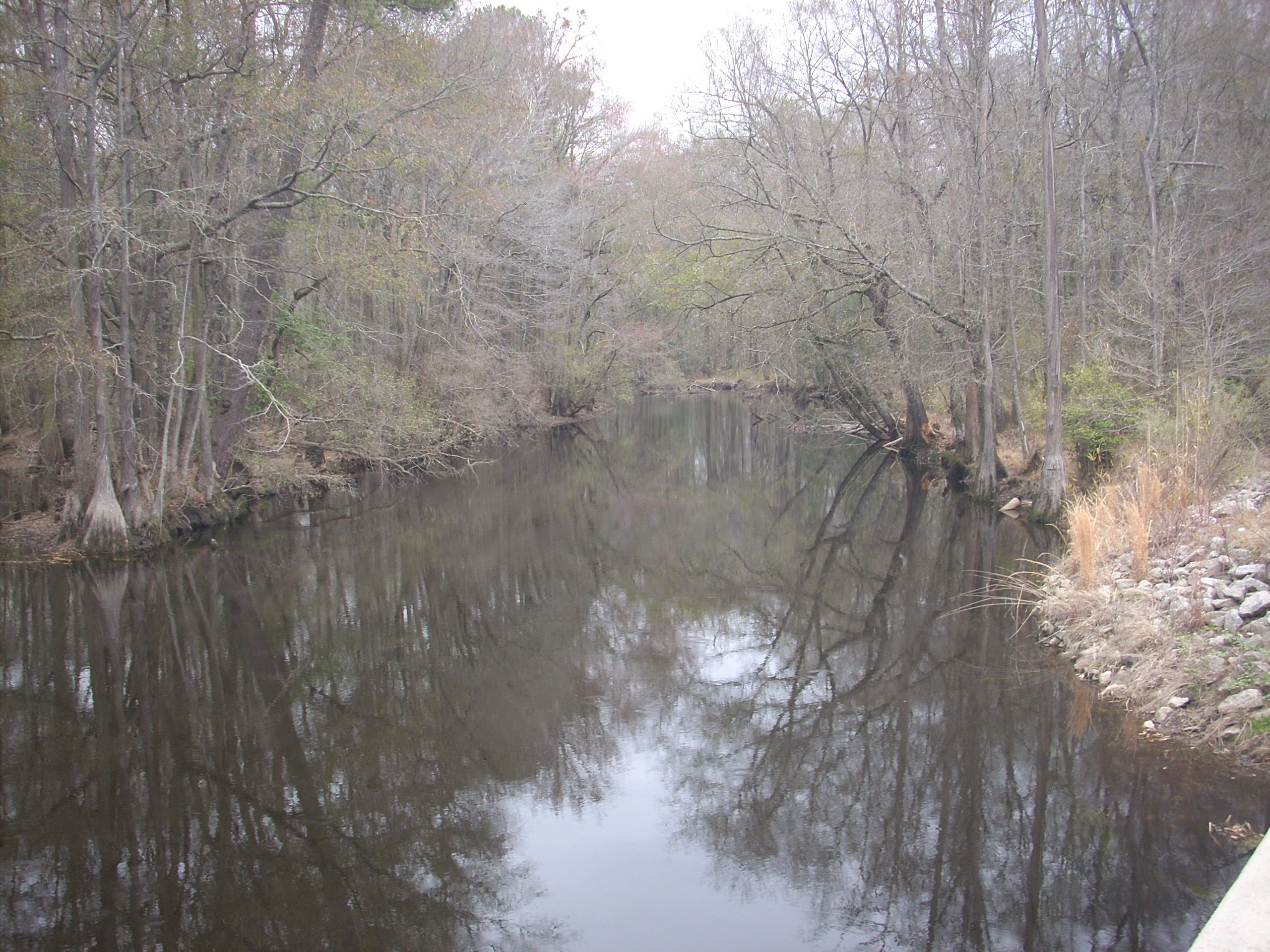
Lumber River
Lumber River on NC 71
Lumber River 3
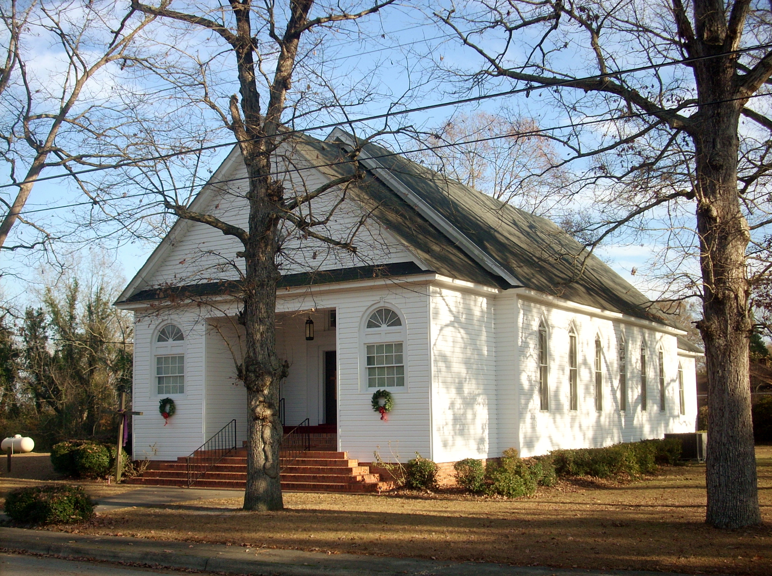
Lumber Bridge Baptist Church
lifes too short go for the it
What are you looking at?
Topographic Map of Red Springs, NC, USA
Find elevation by address:

Places in Red Springs, NC, USA:
Places near Red Springs, NC, USA:
Red Springs
Philadelphus
Buie - Philadelphus Rd, Red Springs, NC, USA
1075 Melinda Rd
809 Ponce De Leon Rd
Rennert
Morgan J Rd, Rennert, NC, USA
Rennert
Smiths
The University Of North Carolina At Pembroke
Pembroke
Pembroke
Golf Course Rd, Raeford, NC, USA
Alma Rd, Maxton, NC, USA
Raft Swamp
Lumberton, Nc
Robeson County
Raeford
Raeford Road
233 Gibson Dr
Recent Searches:
- Elevation of Corso Fratelli Cairoli, 35, Macerata MC, Italy
- Elevation of Tallevast Rd, Sarasota, FL, USA
- Elevation of 4th St E, Sonoma, CA, USA
- Elevation of Black Hollow Rd, Pennsdale, PA, USA
- Elevation of Oakland Ave, Williamsport, PA, USA
- Elevation of Pedrógão Grande, Portugal
- Elevation of Klee Dr, Martinsburg, WV, USA
- Elevation of Via Roma, Pieranica CR, Italy
- Elevation of Tavkvetili Mountain, Georgia
- Elevation of Hartfords Bluff Cir, Mt Pleasant, SC, USA