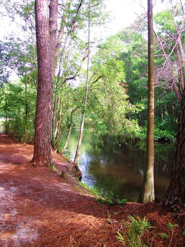
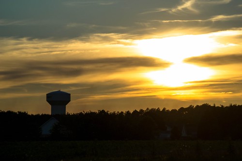
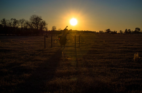
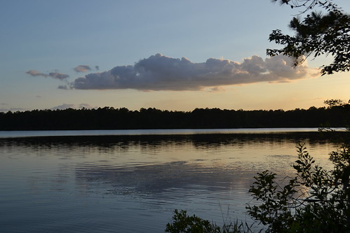
Elevation of Raeford, NC, USA
Location: United States > North Carolina > Hoke County > Quewhiffle >
Longitude: -79.2241997
Latitude: 34.9809995
Elevation: 80m / 262feet
Barometric Pressure: 0KPa
Related Photos:
Topographic Map of Raeford, NC, USA
Find elevation by address:

Places in Raeford, NC, USA:
301 Mccain St
Hoke County Solid Waste Center
233 Gibson Dr
1169 S Parker Church Rd
303 Livingston Dr
341 Thorncliff Dr
Pendergrass Road
351 Myra Rd
10071 Rockfish Rd
220 Morgan Dr
330 Morgan Dr
Raeford Road
185 Corda Pl
123 Dolores Ct
Places near Raeford, NC, USA:
Silver City
Raeford
123 Dolores Ct
Hoke County
301 Mccain St
Mclauchlin
1169 S Parker Church Rd
233 Gibson Dr
330 Morgan Dr
220 Morgan Dr
Ashemont Rd, Aberdeen, NC, USA
Pendergrass Road
185 Corda Pl
Quewhiffle
176 Quewhiffle Rd
213 Stornoway Dr
385 Carolina Rd
702 Legacy Lakes Way
Kerr Lake Road
534 Shelton Dr
Recent Searches:
- Elevation map of Greenland, Greenland
- Elevation of Sullivan Hill, New York, New York, 10002, USA
- Elevation of Morehead Road, Withrow Downs, Charlotte, Mecklenburg County, North Carolina, 28262, USA
- Elevation of 2800, Morehead Road, Withrow Downs, Charlotte, Mecklenburg County, North Carolina, 28262, USA
- Elevation of Yangbi Yi Autonomous County, Yunnan, China
- Elevation of Pingpo, Yangbi Yi Autonomous County, Yunnan, China
- Elevation of Mount Malong, Pingpo, Yangbi Yi Autonomous County, Yunnan, China
- Elevation map of Yongping County, Yunnan, China
- Elevation of North 8th Street, Palatka, Putnam County, Florida, 32177, USA
- Elevation of 107, Big Apple Road, East Palatka, Putnam County, Florida, 32131, USA
- Elevation of Jiezi, Chongzhou City, Sichuan, China
- Elevation of Chongzhou City, Sichuan, China
- Elevation of Huaiyuan, Chongzhou City, Sichuan, China
- Elevation of Qingxia, Chengdu, Sichuan, China
- Elevation of Corso Fratelli Cairoli, 35, Macerata MC, Italy
- Elevation of Tallevast Rd, Sarasota, FL, USA
- Elevation of 4th St E, Sonoma, CA, USA
- Elevation of Black Hollow Rd, Pennsdale, PA, USA
- Elevation of Oakland Ave, Williamsport, PA, USA
- Elevation of Pedrógão Grande, Portugal
