Elevation of Rennert, NC, USA
Location: United States > North Carolina > Robeson County >
Longitude: -79.075803
Latitude: 34.7991657
Elevation: 54m / 177feet
Barometric Pressure: 101KPa
Elevation Map:
Satellite Map:
Related Photos:
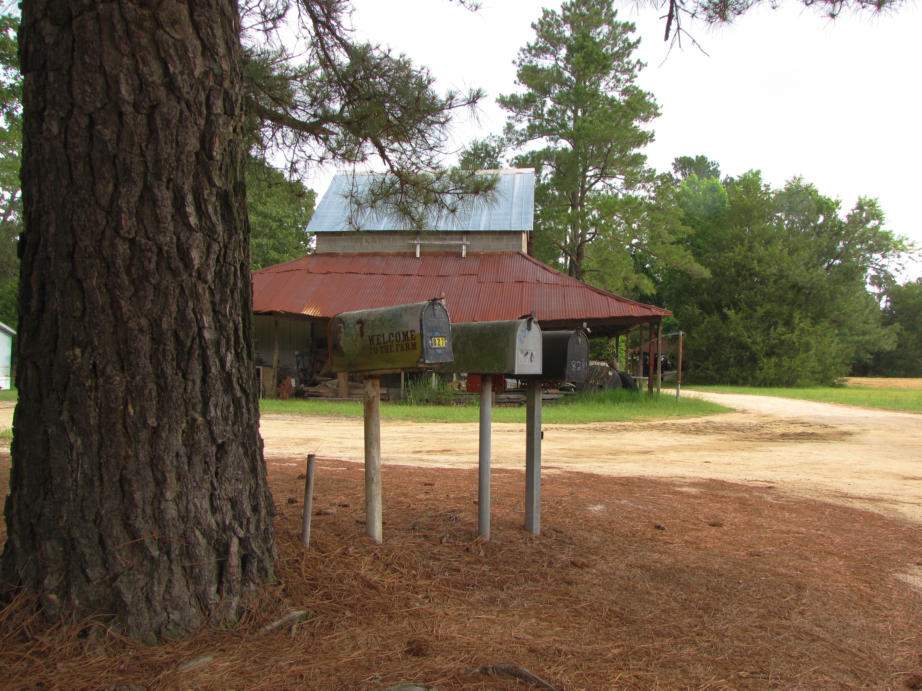
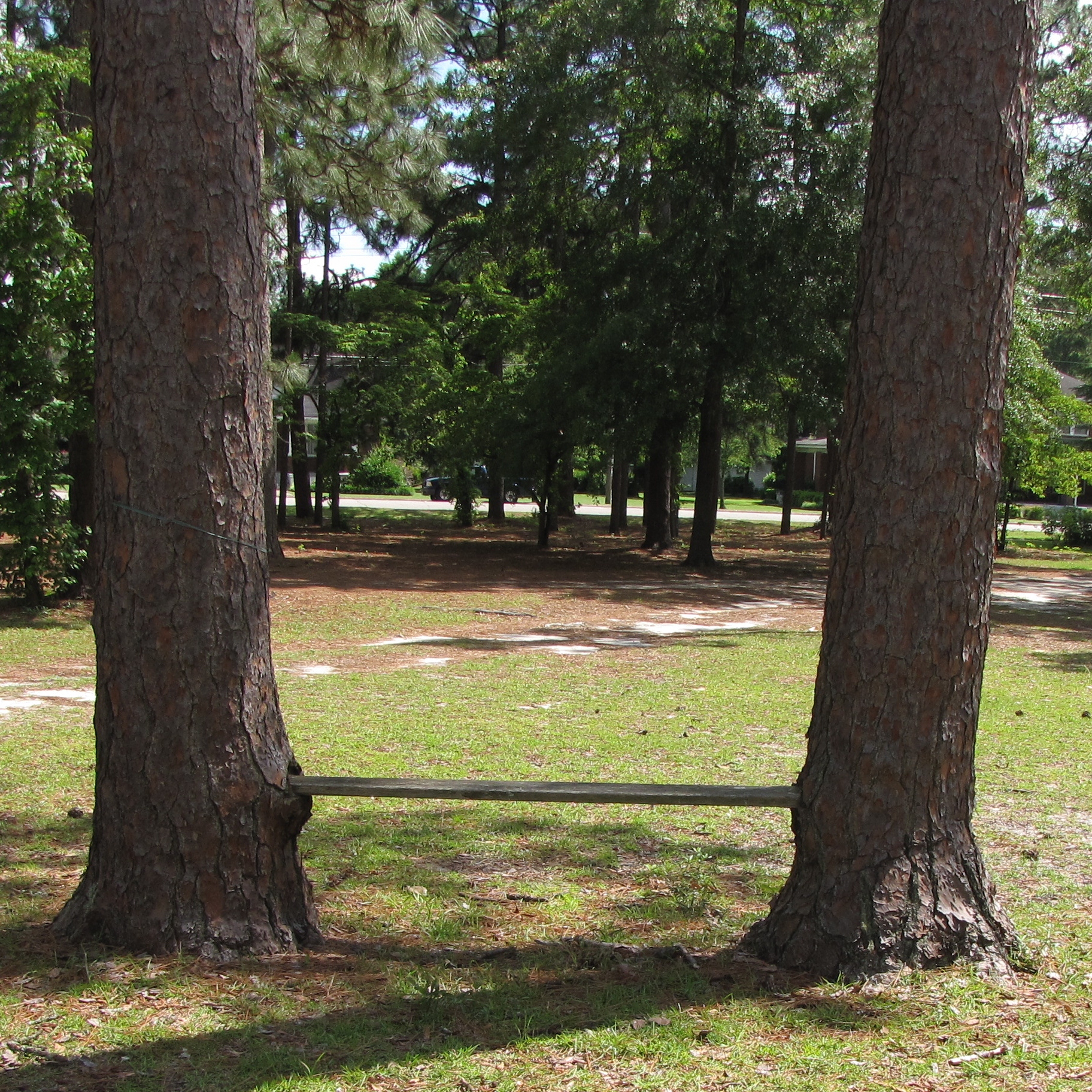
Welcome to the Farm
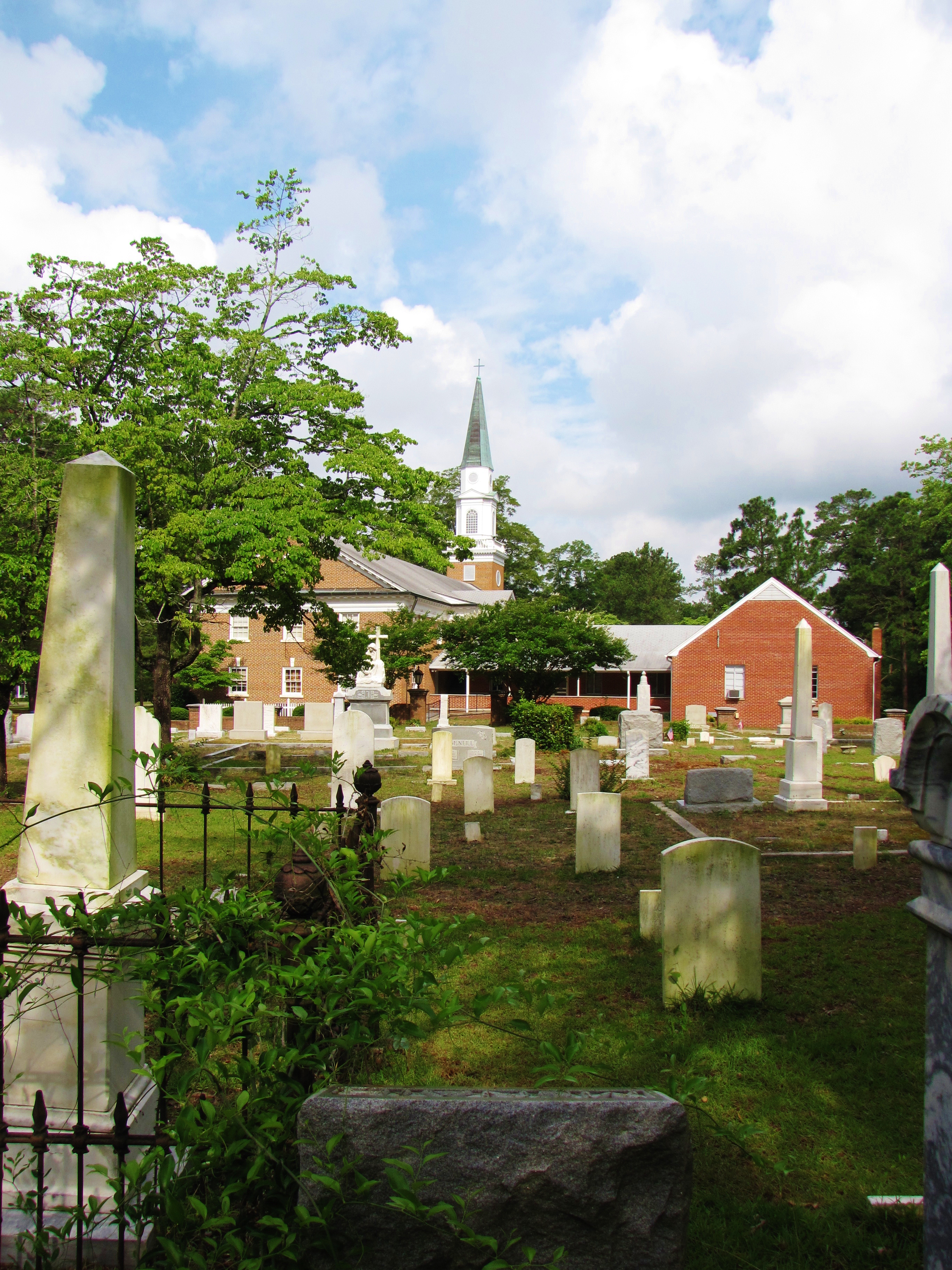
St. Pauls Presbyterian Cemetery (2)
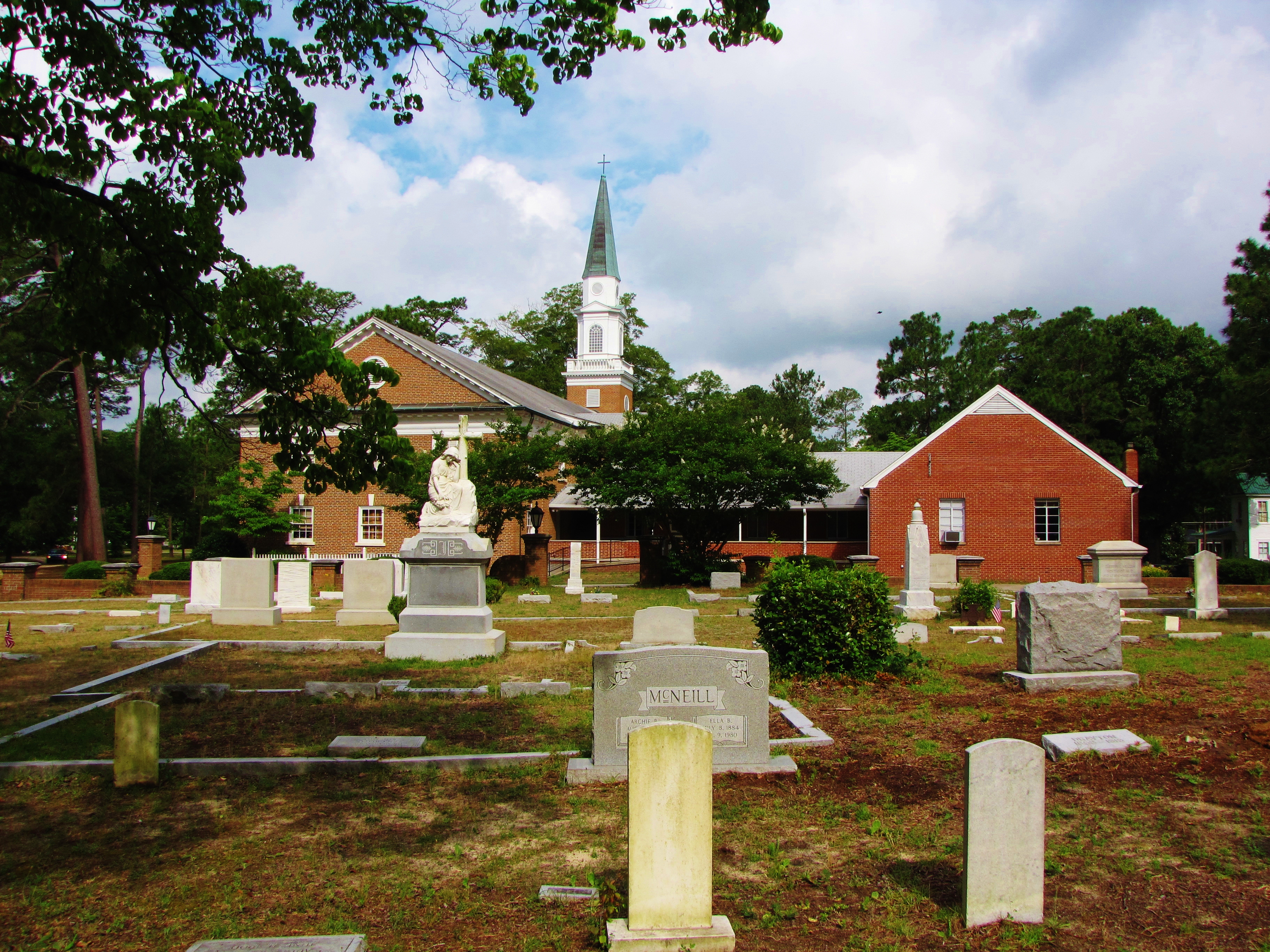
St. Pauls Presbyterian Cemetery
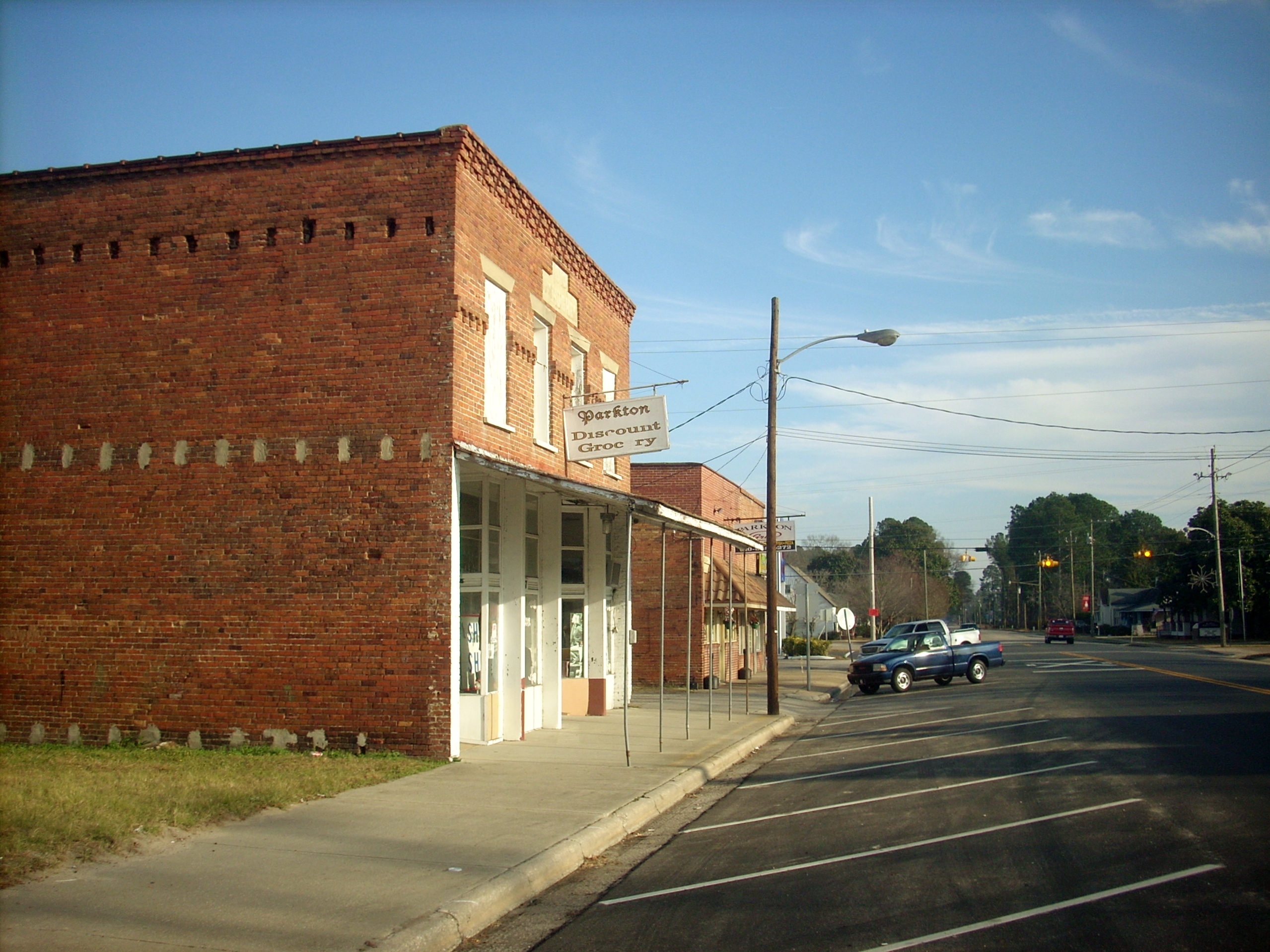
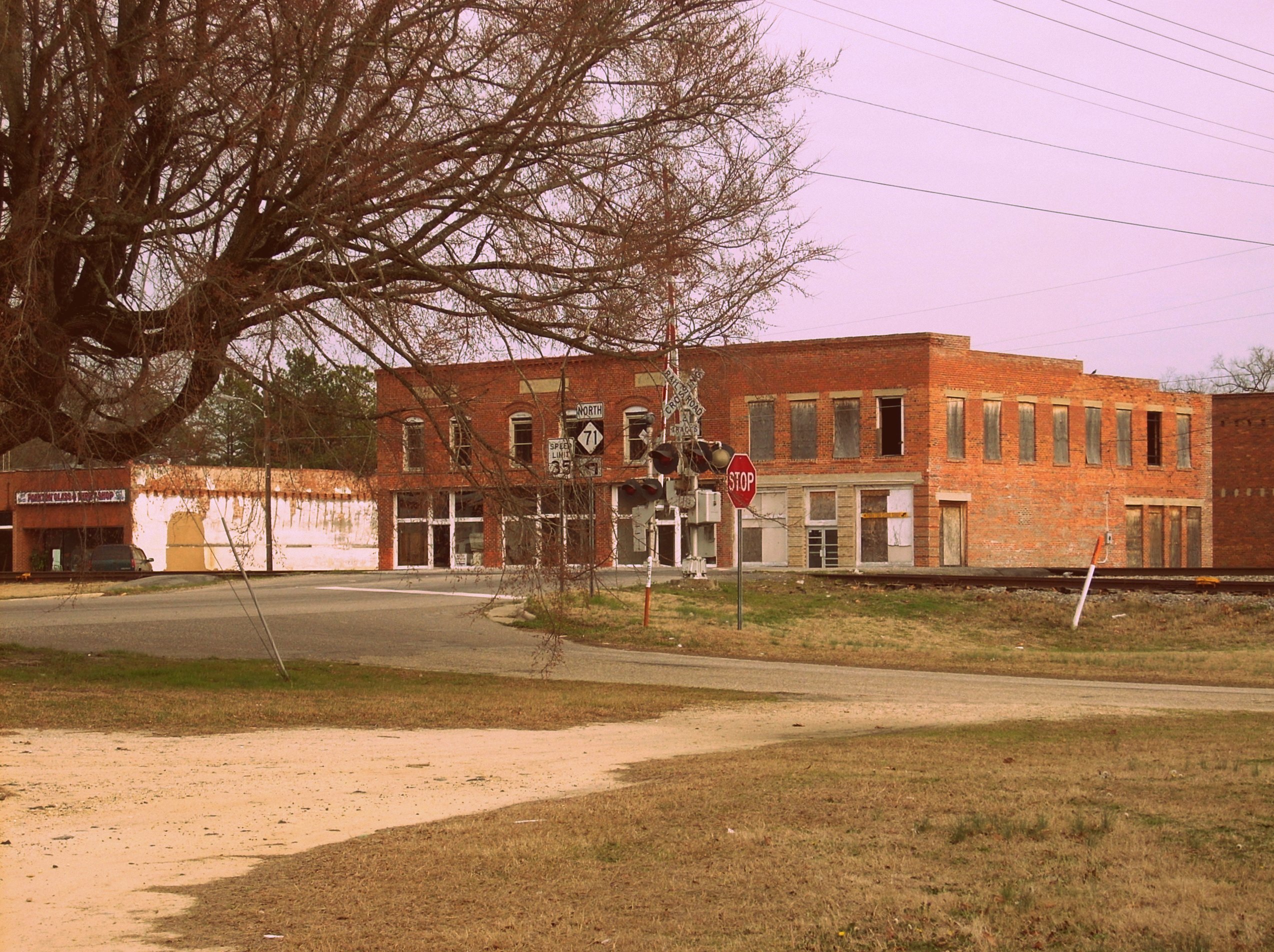
Downtown Parkton
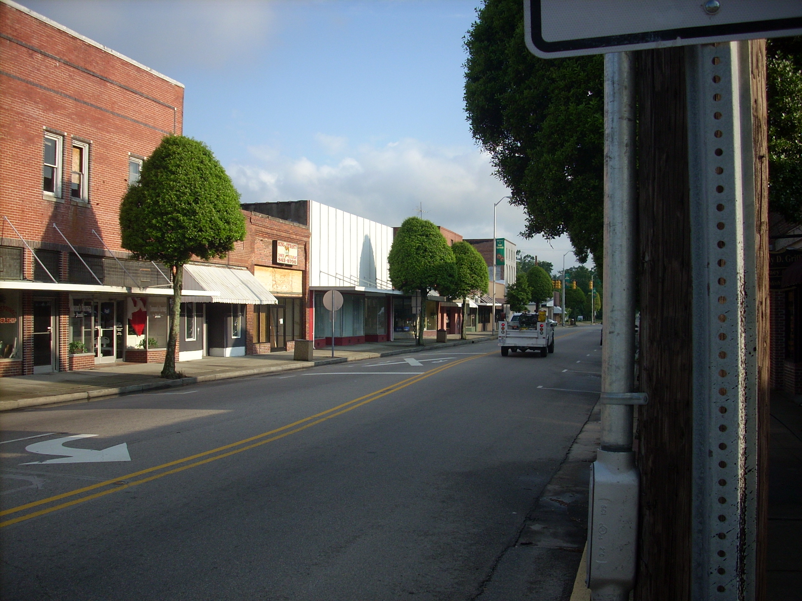
Parkton, NC
Red Springs
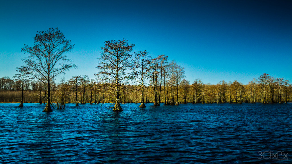
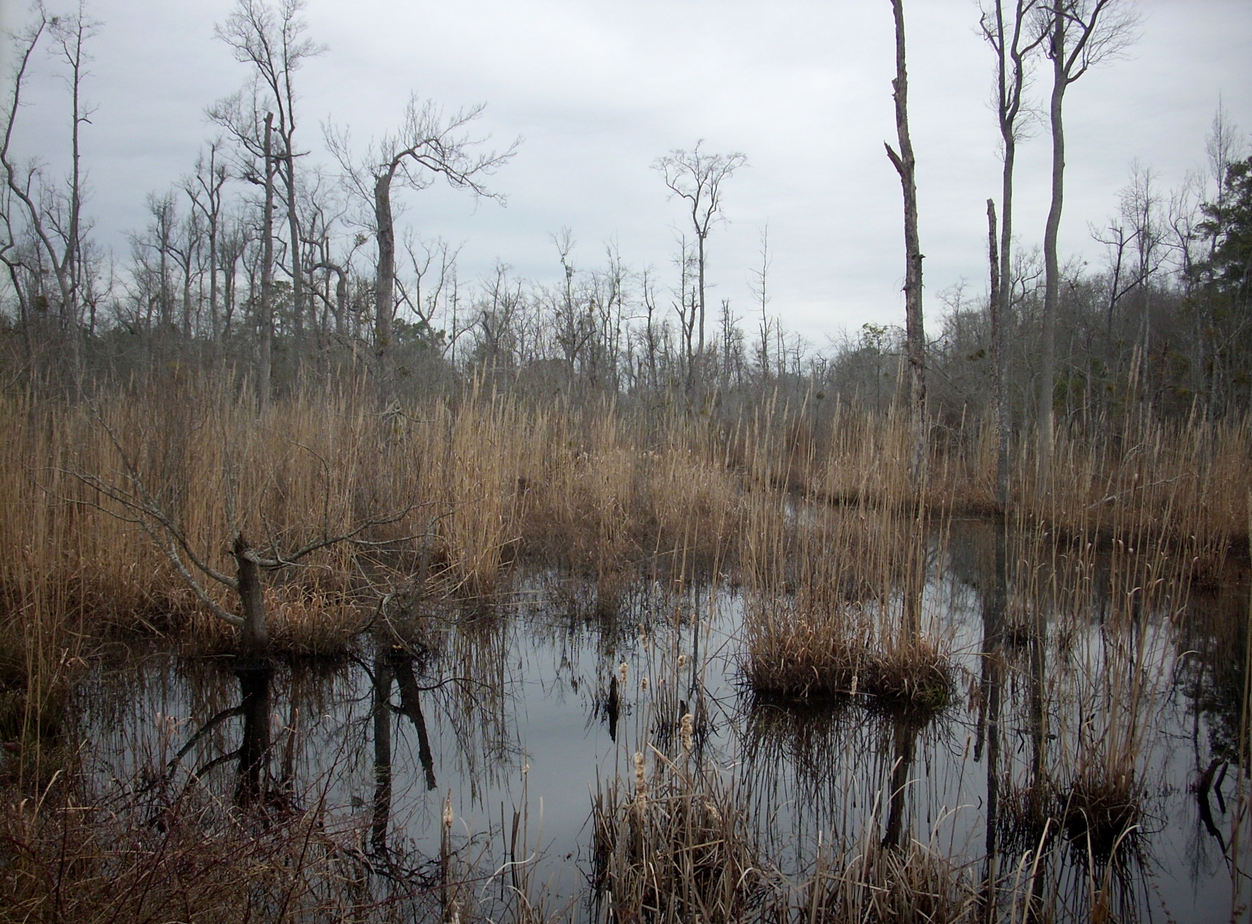
February Swamp
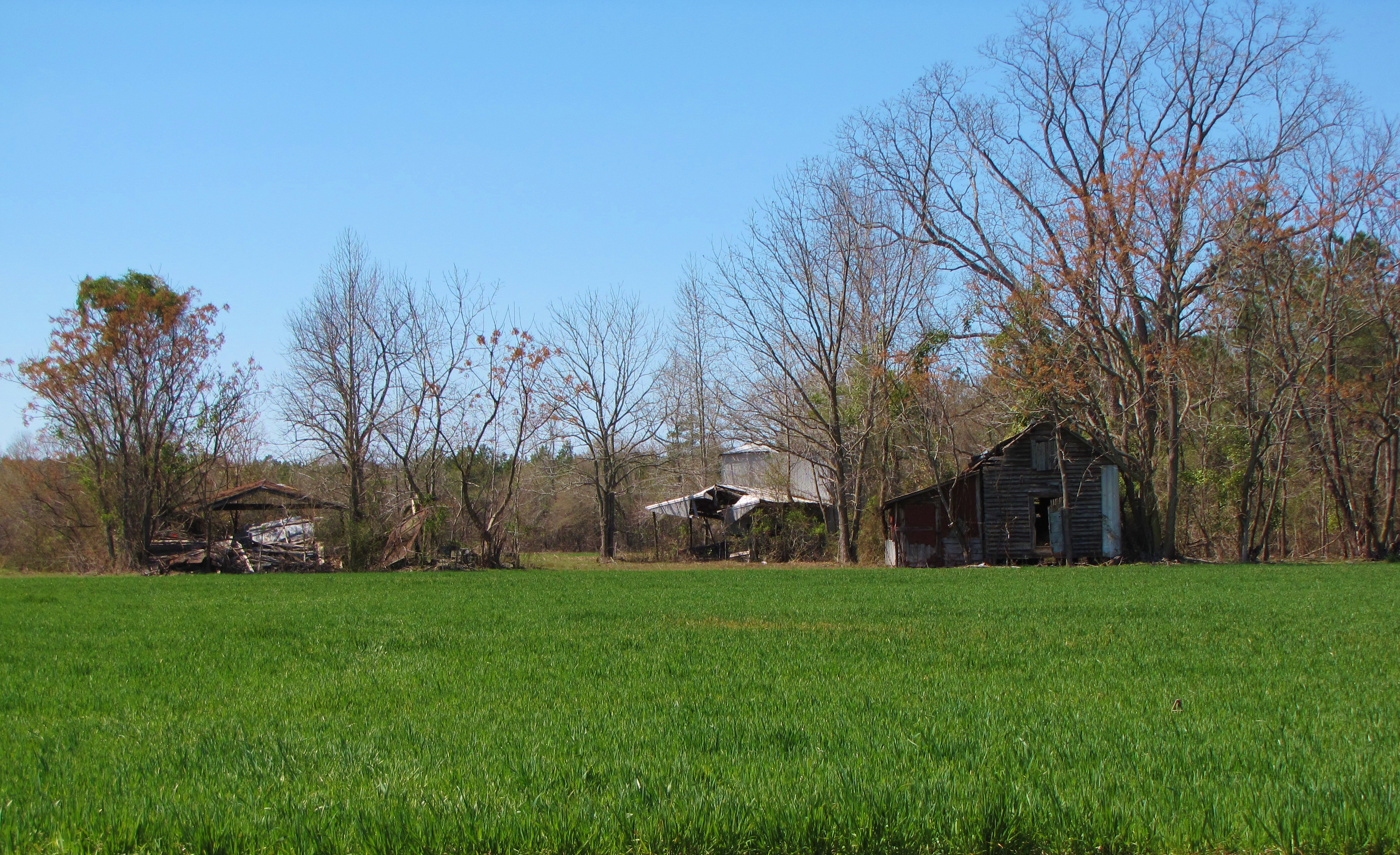
Time Has Passed By
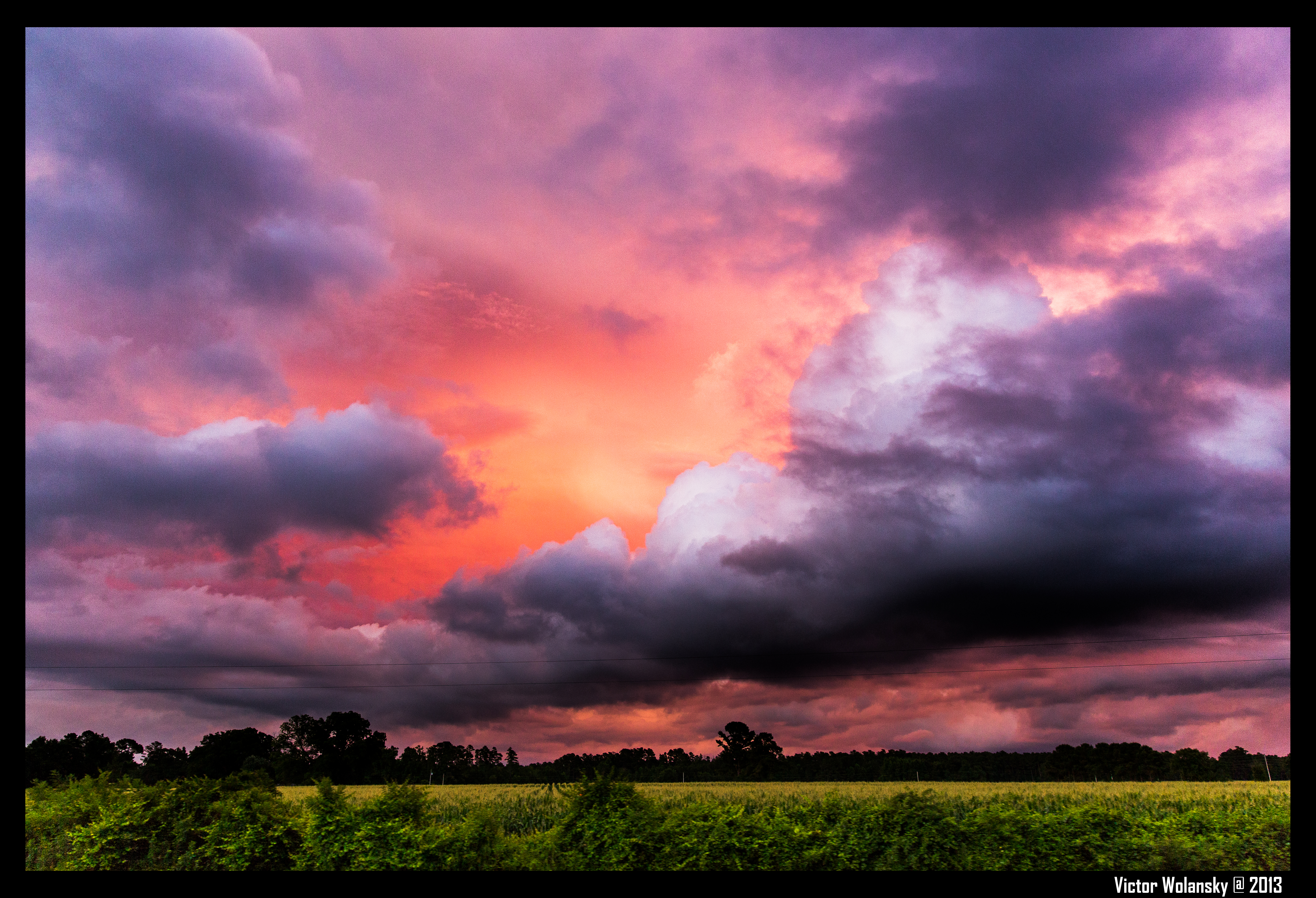
Roadside Magic Hour
Wetland 2
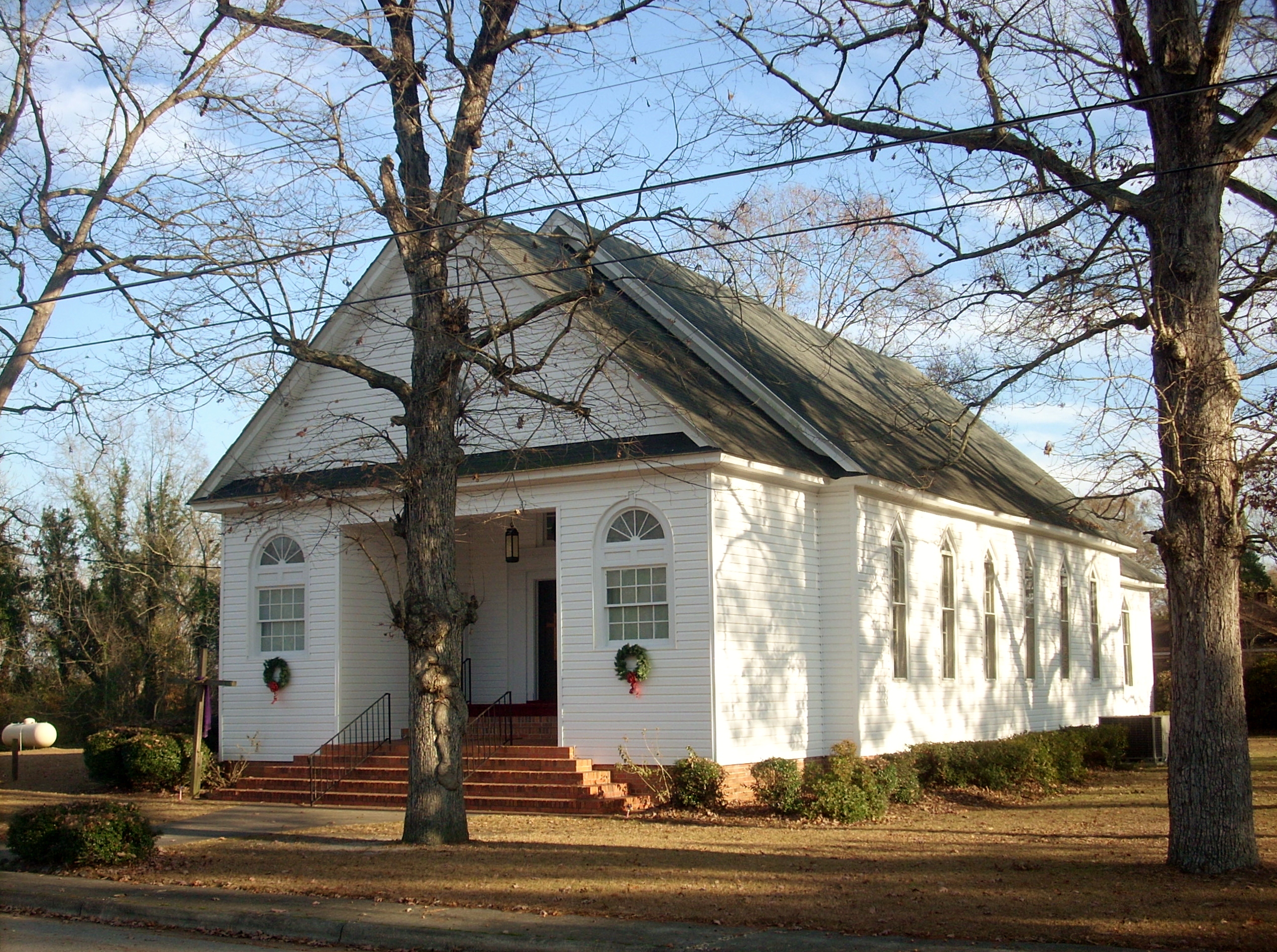
Lumber Bridge Baptist Church
Mark Victor Hanna
Come, Let's Sit Awhile
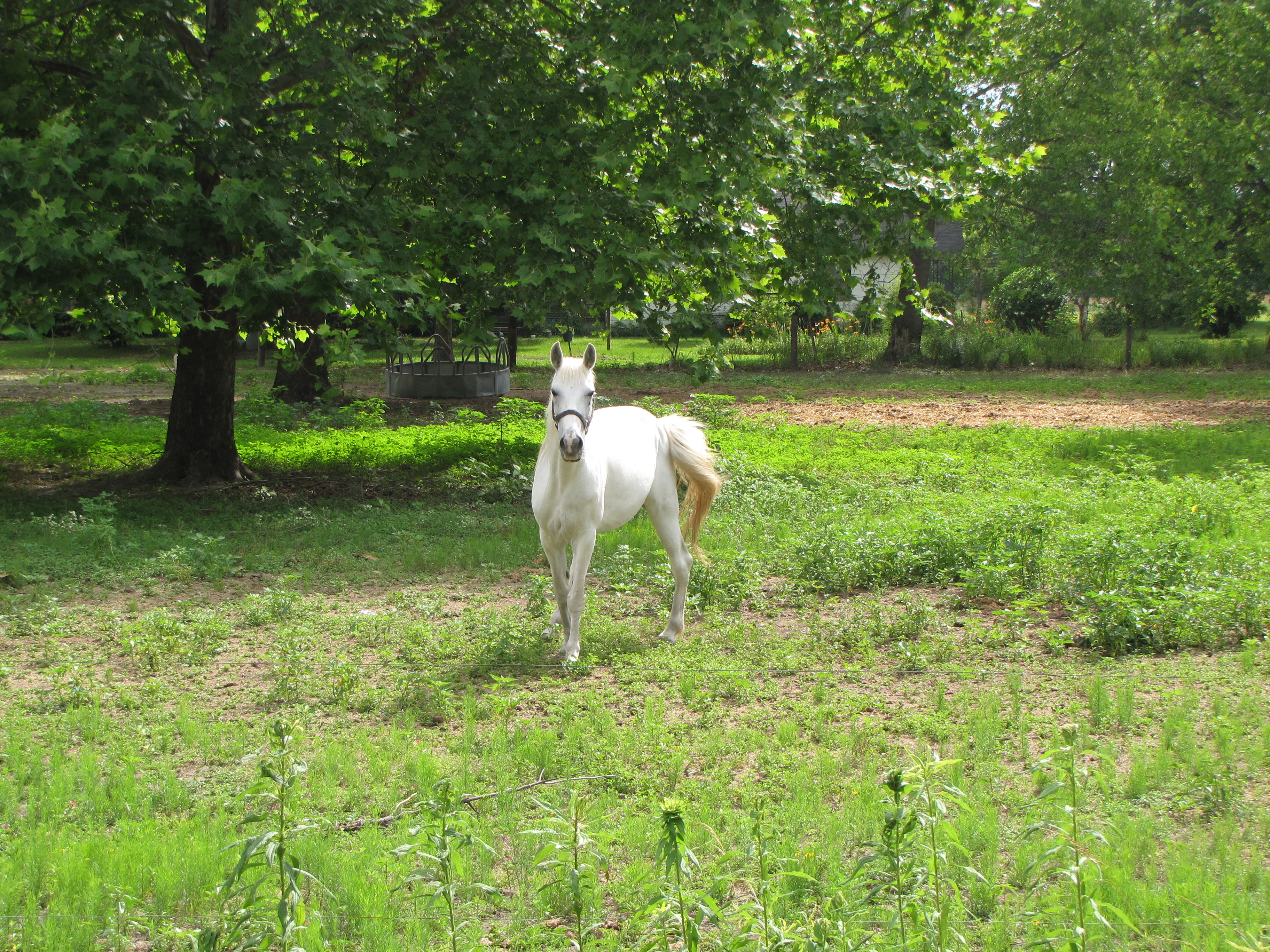
What are you looking at?
lifes too short go for the it
Topographic Map of Rennert, NC, USA
Find elevation by address:

Places in Rennert, NC, USA:
Places near Rennert, NC, USA:
106 Shamrock Dr
Blind Cat Rescue & Sanctuary
74 Prairie Ln
3101 E Great Marsh Church Rd
3101 E Great Marsh Church Rd
3101 E Great Marsh Church Rd
3101 E Great Marsh Church Rd
411 B T Rd
17 Nottingham Cir, Lumberton, NC, USA
Holiday Inn Lumberton North - I-95
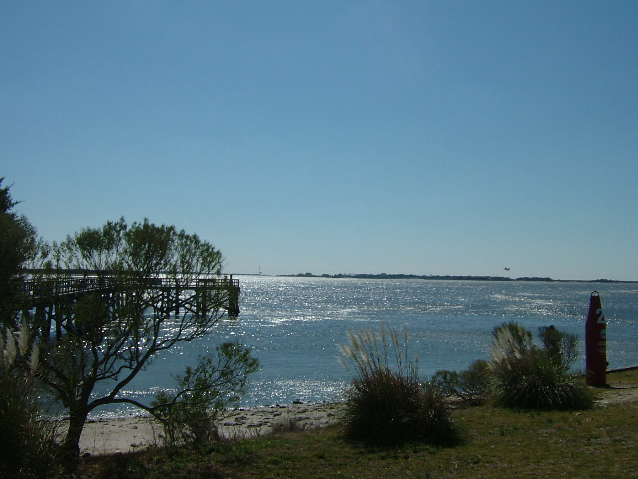
Raft Swamp
416 Londonderry Dr
502 Sussex Ln
400 Cambridge Blvd
3710 Berkley Ln
Hampstead Road
4502 Fayetteville Rd
3030 N Roberts Ave
3510 Capuano St
Lumberton
Recent Searches:
- Elevation of Corso Fratelli Cairoli, 35, Macerata MC, Italy
- Elevation of Tallevast Rd, Sarasota, FL, USA
- Elevation of 4th St E, Sonoma, CA, USA
- Elevation of Black Hollow Rd, Pennsdale, PA, USA
- Elevation of Oakland Ave, Williamsport, PA, USA
- Elevation of Pedrógão Grande, Portugal
- Elevation of Klee Dr, Martinsburg, WV, USA
- Elevation of Via Roma, Pieranica CR, Italy
- Elevation of Tavkvetili Mountain, Georgia
- Elevation of Hartfords Bluff Cir, Mt Pleasant, SC, USA