Elevation of Rechimas, Craponne-sur-Arzon, France
Location: France > Haute-loire > Craponne-sur-arzon >
Longitude: 3.855634
Latitude: 45.33597
Elevation: 941m / 3087feet
Barometric Pressure: 91KPa
Elevation Map:
Satellite Map:
Related Photos:
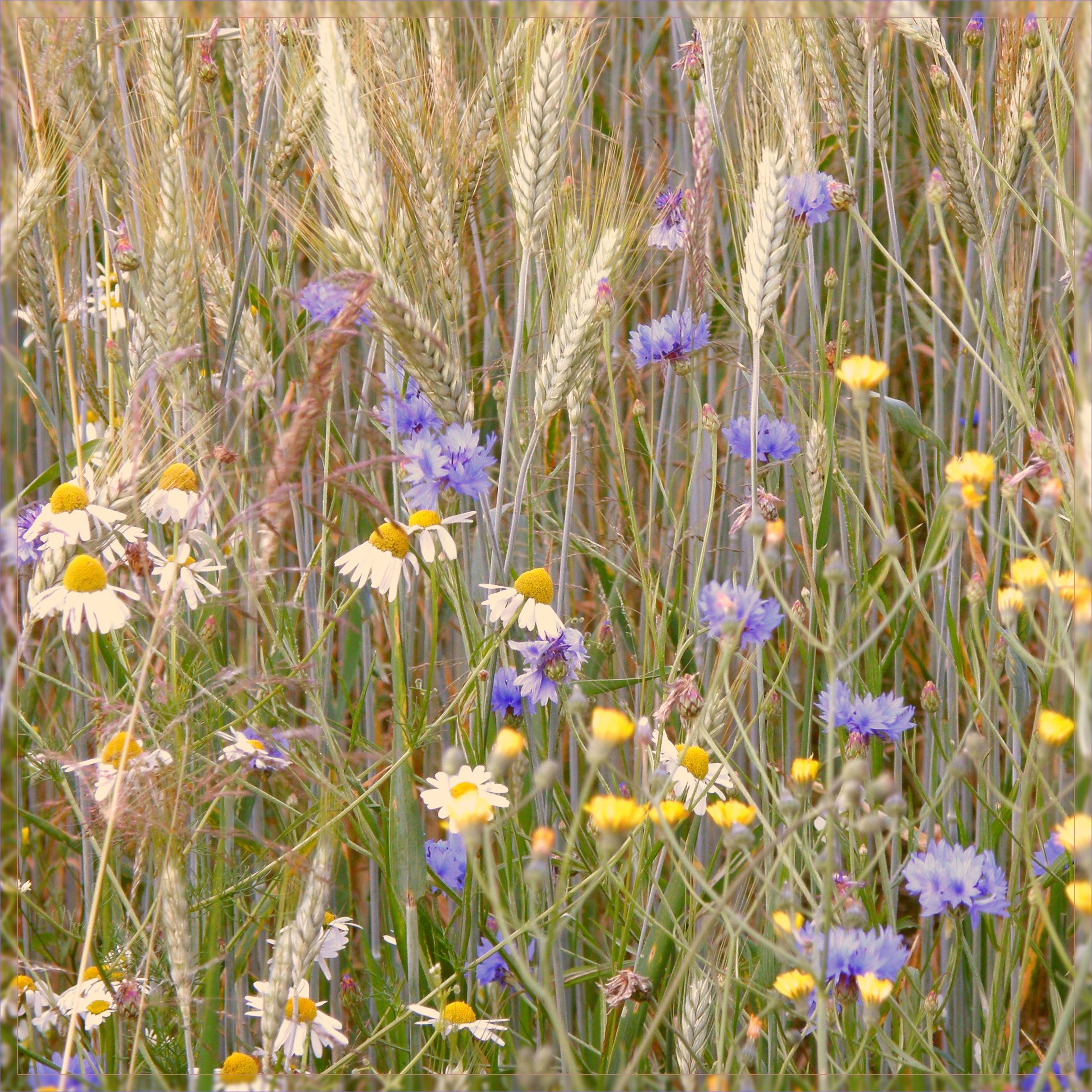
fleurs des champs
Topographic Map of Rechimas, Craponne-sur-Arzon, France
Find elevation by address:

Places near Rechimas, Craponne-sur-Arzon, France:
Craponne-sur-arzon
5 Villeneuve, Saint-Pierre-du-Champ, France
Saint-pierre-du-champ
Saillant
Montpeloux
La Chapelle-en-lafaye
Le Bourg, La Chapelle-en-Lafaye, France
Chamalières-sur-loire
Cosycamp
12 Place du Marchédial, Allègre, France
Allègre
23t
Saint-paulien
Richard De Bas
Retournac
14 Rue J Romain, Lavoûte-sur-Loire, France
Lavoûte-sur-loire
4 Place Pierre Cruviller, Retournac, France
Saint-nizier-de-fornas
13 Le Bourg, Saint-Nizier-de-Fornas, France
Recent Searches:
- Elevation of Corso Fratelli Cairoli, 35, Macerata MC, Italy
- Elevation of Tallevast Rd, Sarasota, FL, USA
- Elevation of 4th St E, Sonoma, CA, USA
- Elevation of Black Hollow Rd, Pennsdale, PA, USA
- Elevation of Oakland Ave, Williamsport, PA, USA
- Elevation of Pedrógão Grande, Portugal
- Elevation of Klee Dr, Martinsburg, WV, USA
- Elevation of Via Roma, Pieranica CR, Italy
- Elevation of Tavkvetili Mountain, Georgia
- Elevation of Hartfords Bluff Cir, Mt Pleasant, SC, USA