Elevation of Allègre, France
Location: France > Haute-loire >
Longitude: 3.712038
Latitude: 45.200105
Elevation: 1048m / 3438feet
Barometric Pressure: 89KPa
Elevation Map:
Satellite Map:
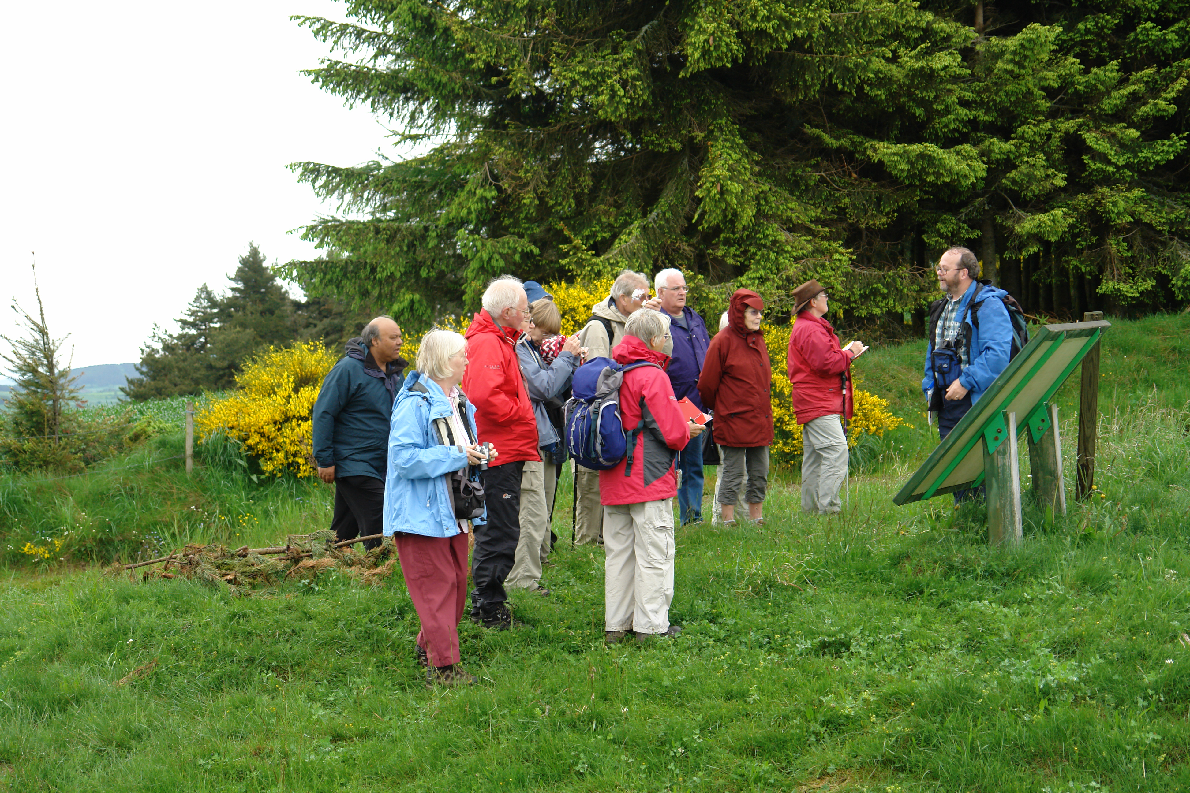
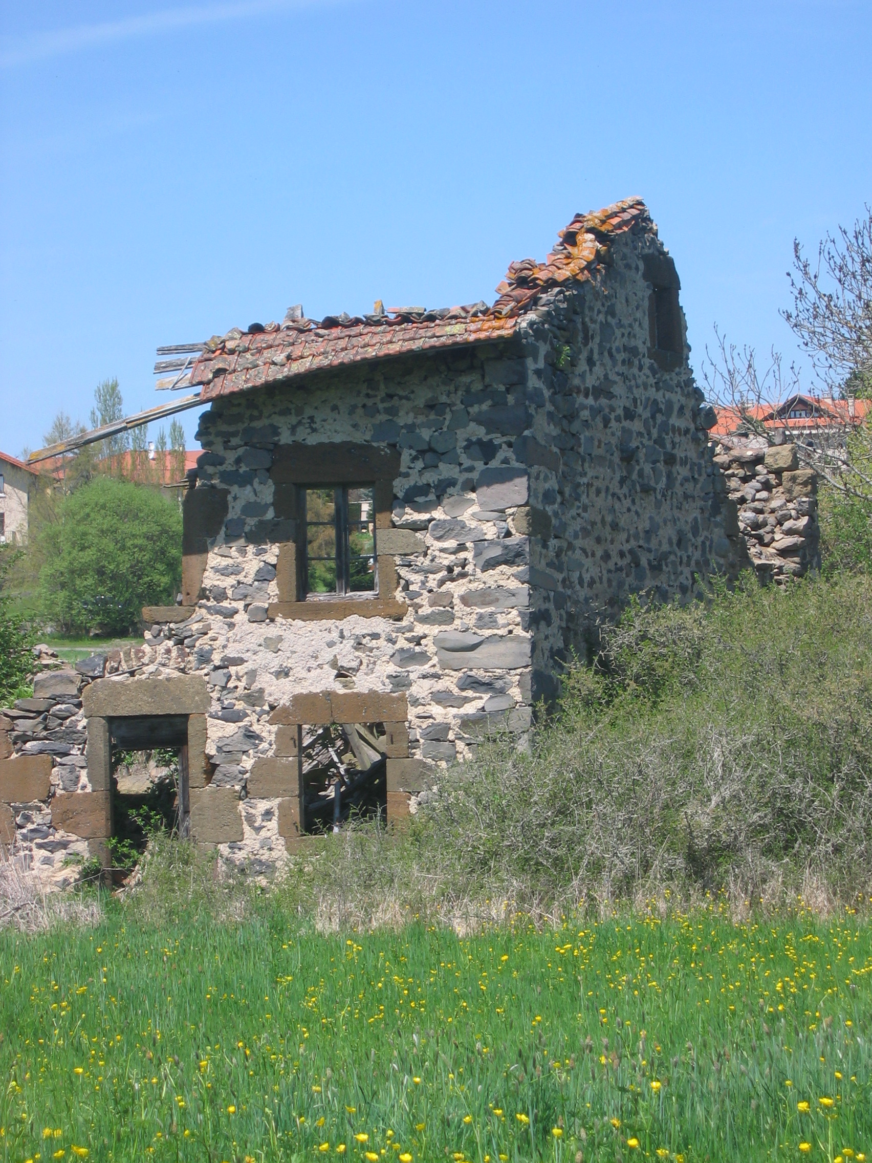
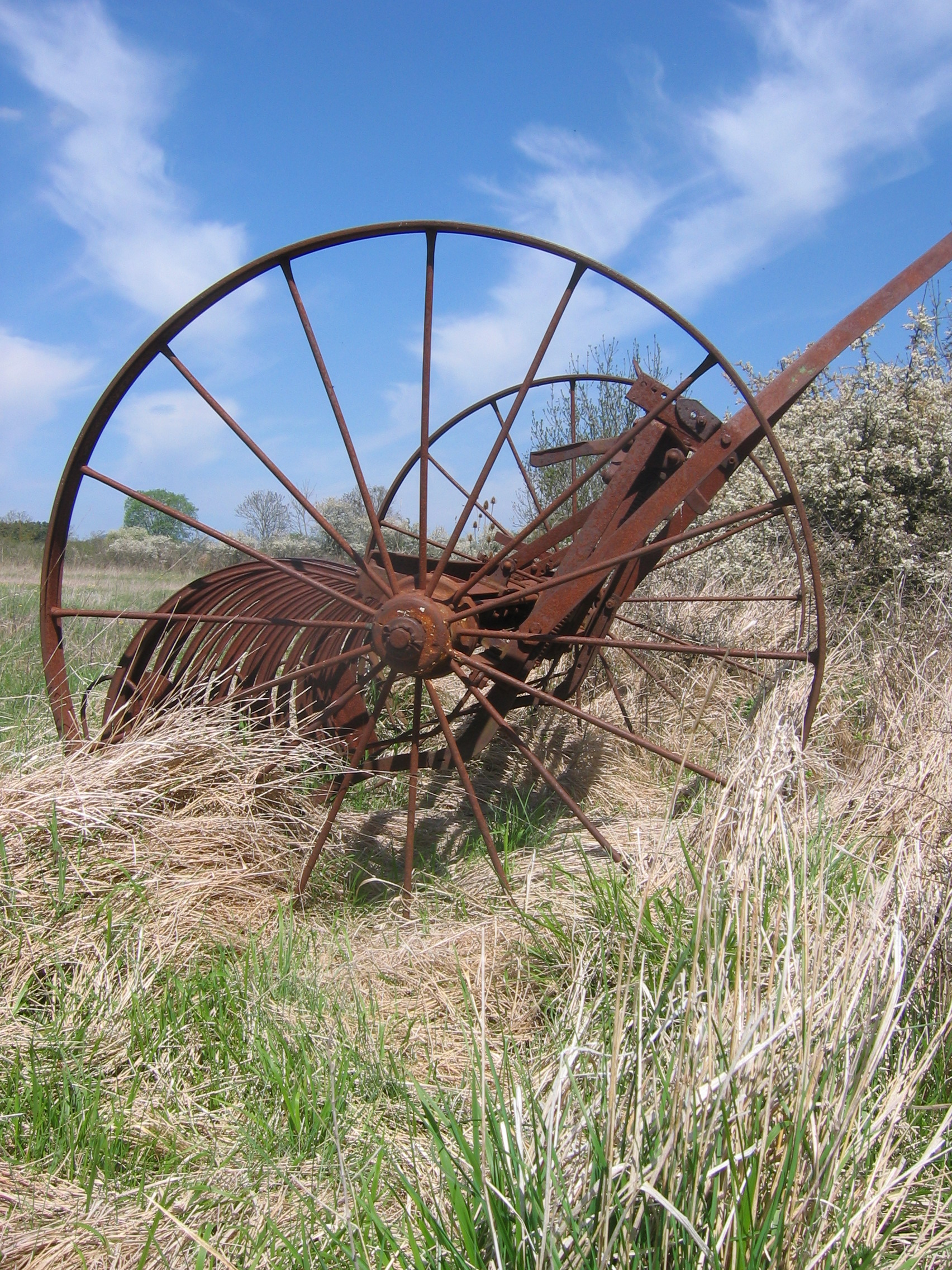
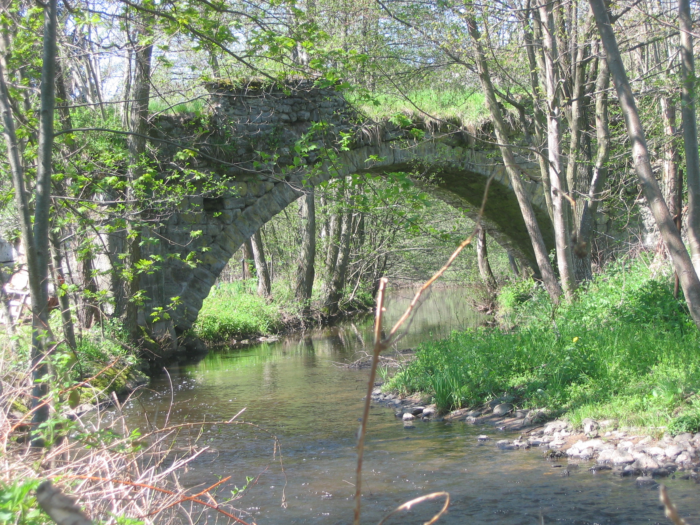
Related Photos:

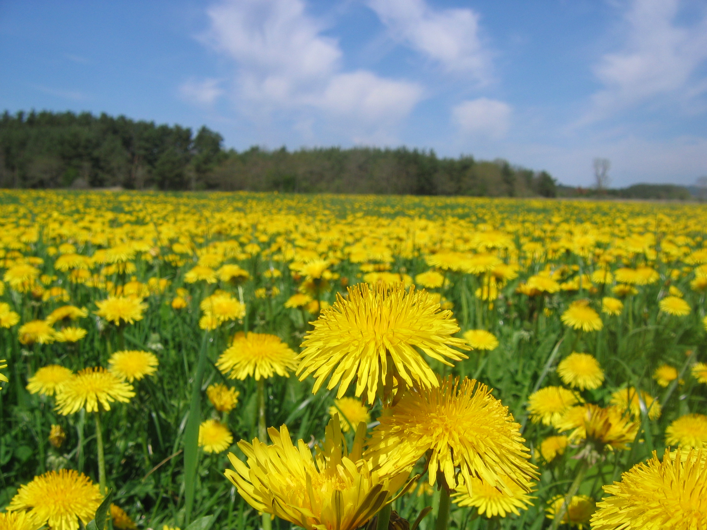
fleurs des champs
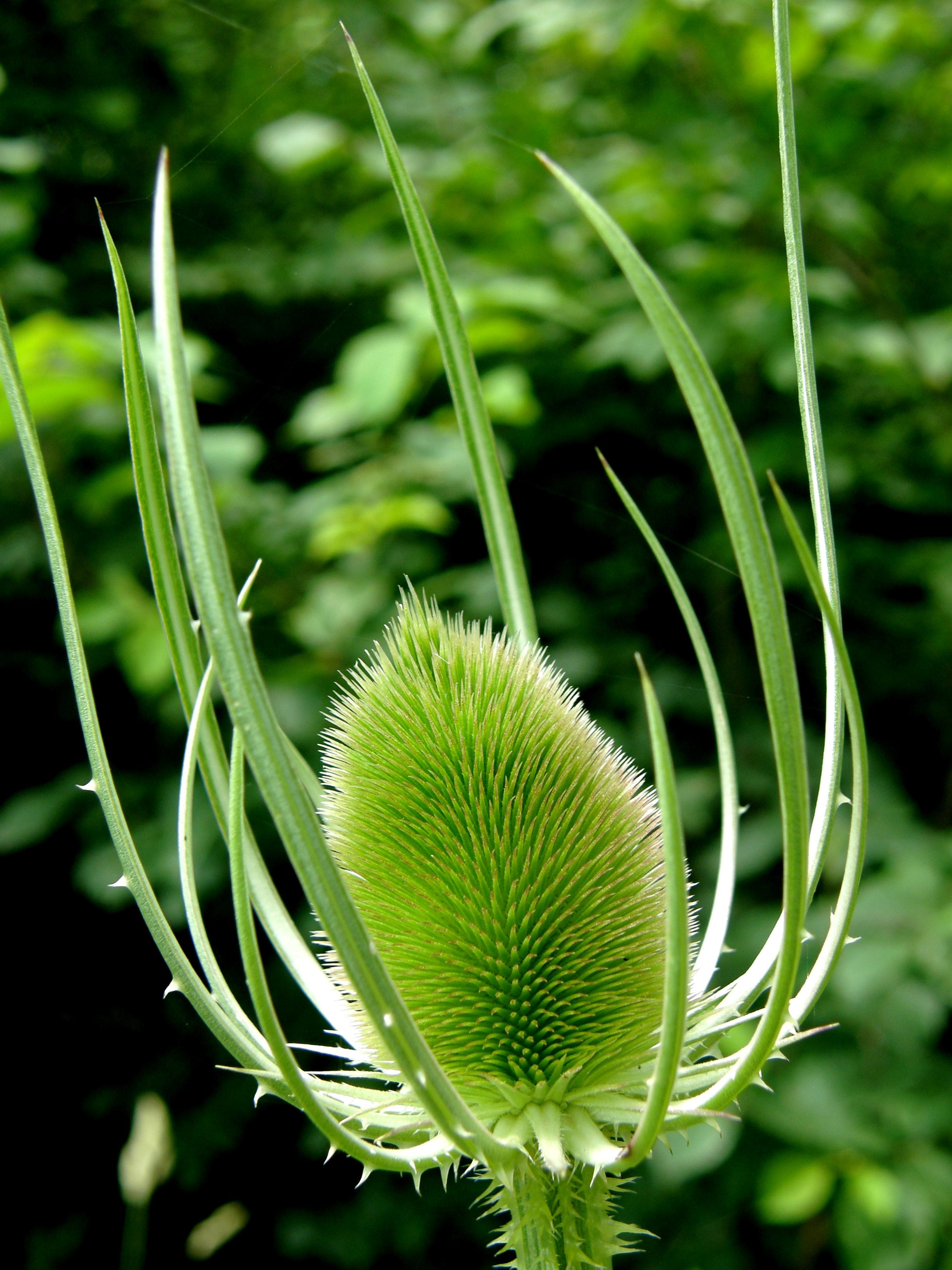
cardère / teasel

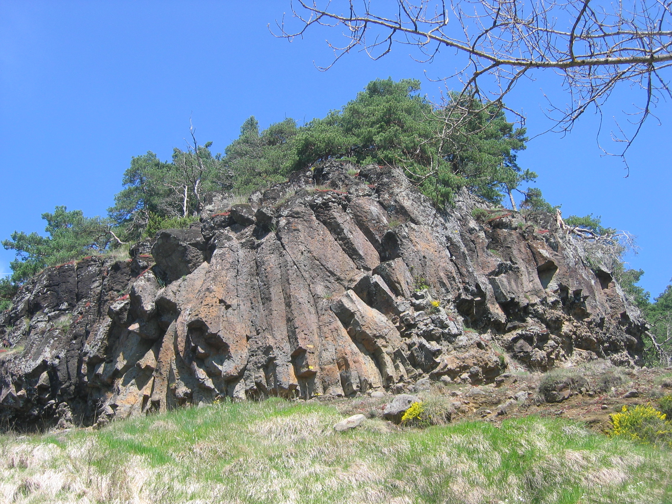
parallèles

C'est fermé ! Closed!
DSC08266.JPG
DSC08272.JPG
DSC08265.JPG
DSC08275.JPG
DSC08279.JPG
DSC08269.JPG

DSC08267.JPG
DSC08274.JPG
IMG_8388.JPG
IMG_8395.JPG
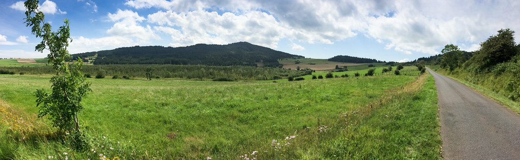
IMG_8383_pano.jpg
DSC08270.JPG
DSC08273.JPG
IMG_8393.JPG
IMG_8389.JPG
IMG_8385.JPG
IMG_8386.JPG
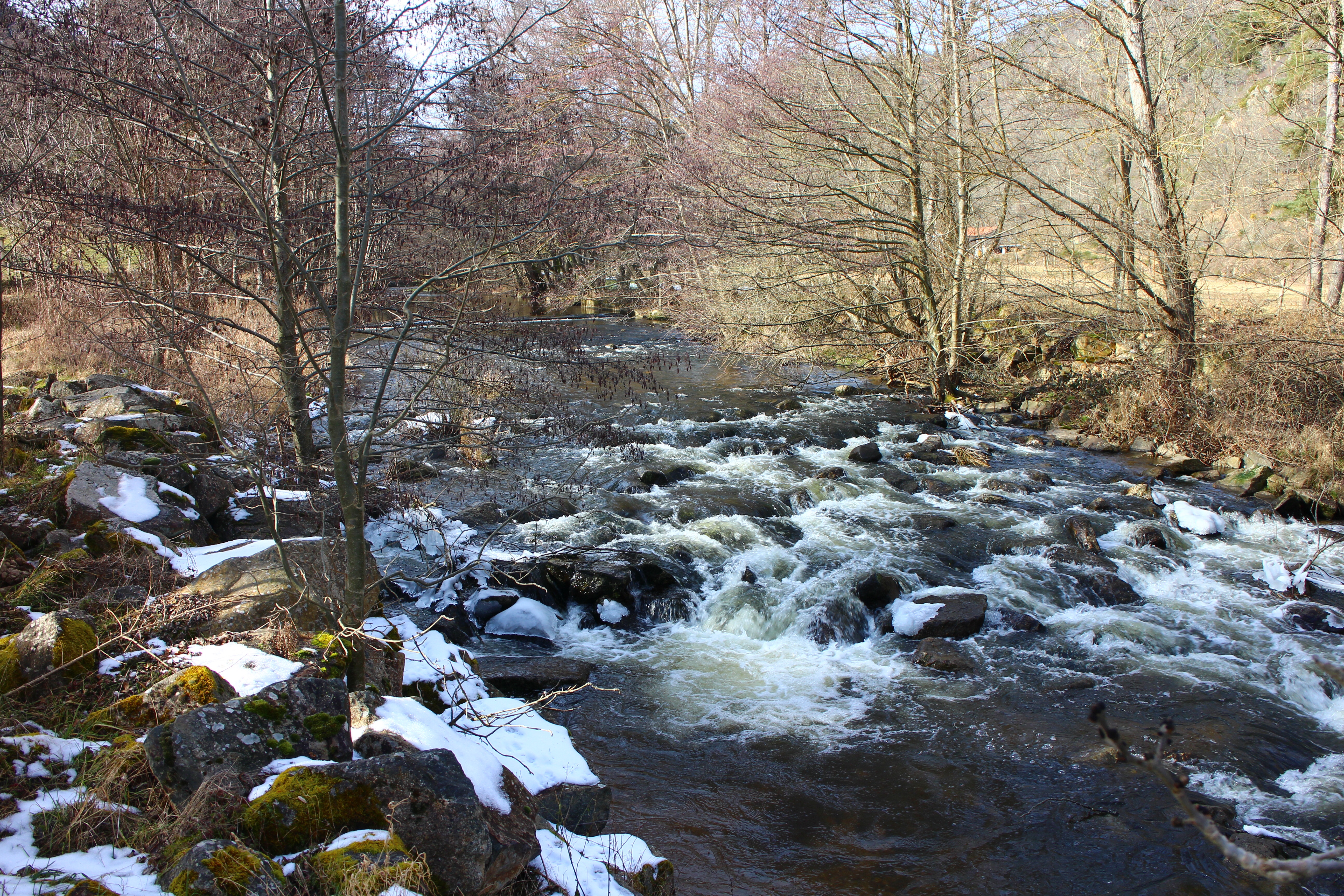
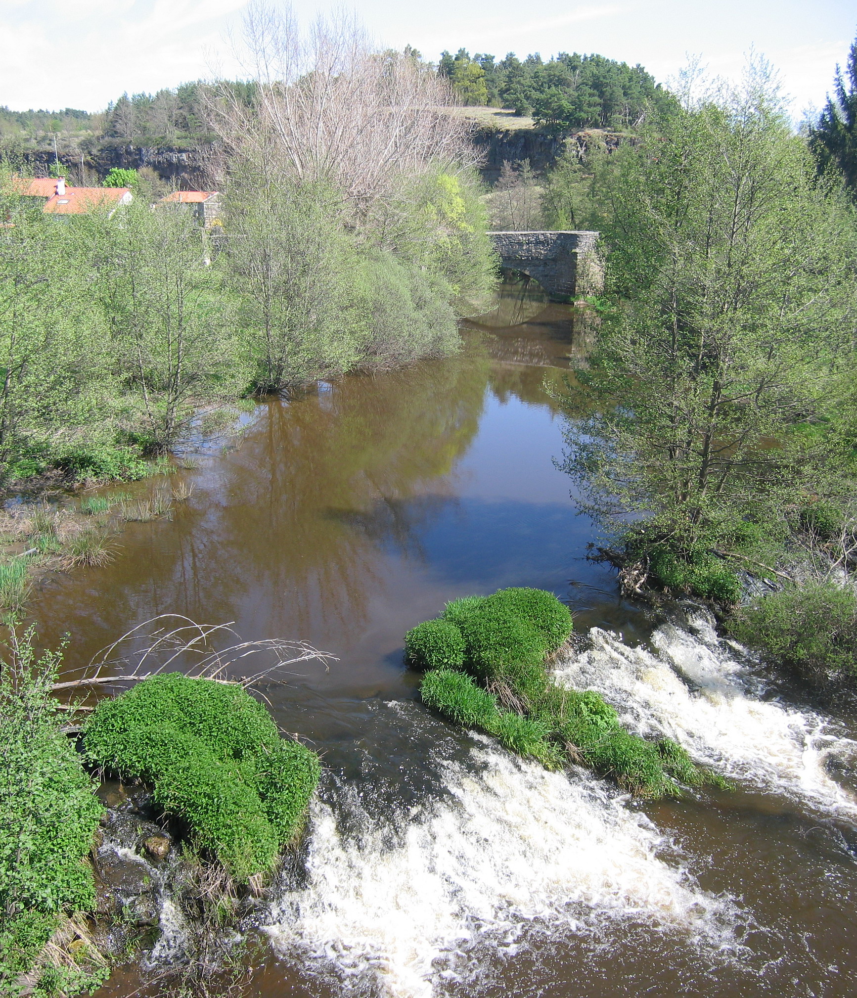
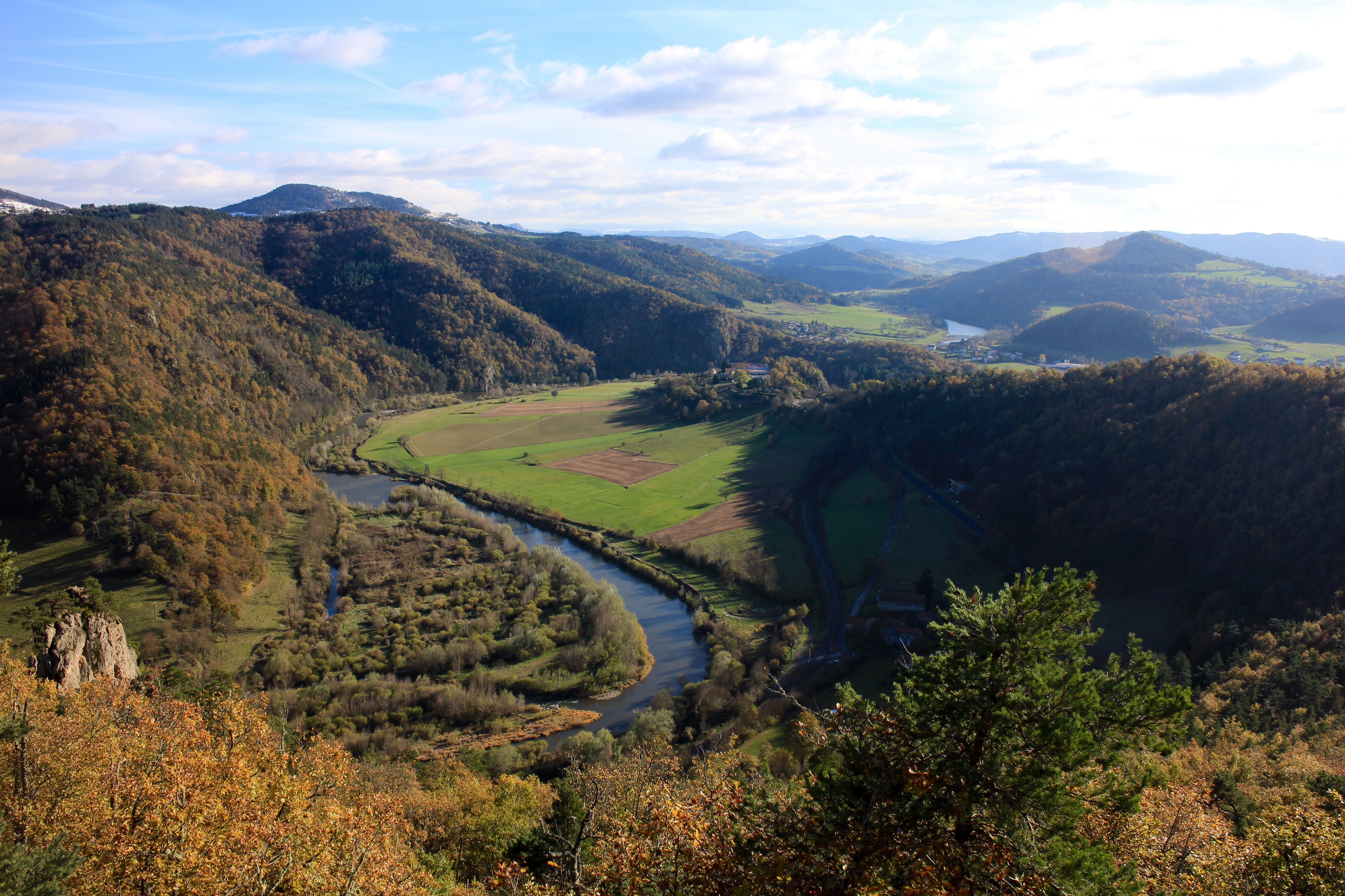
Rivière L'arzon
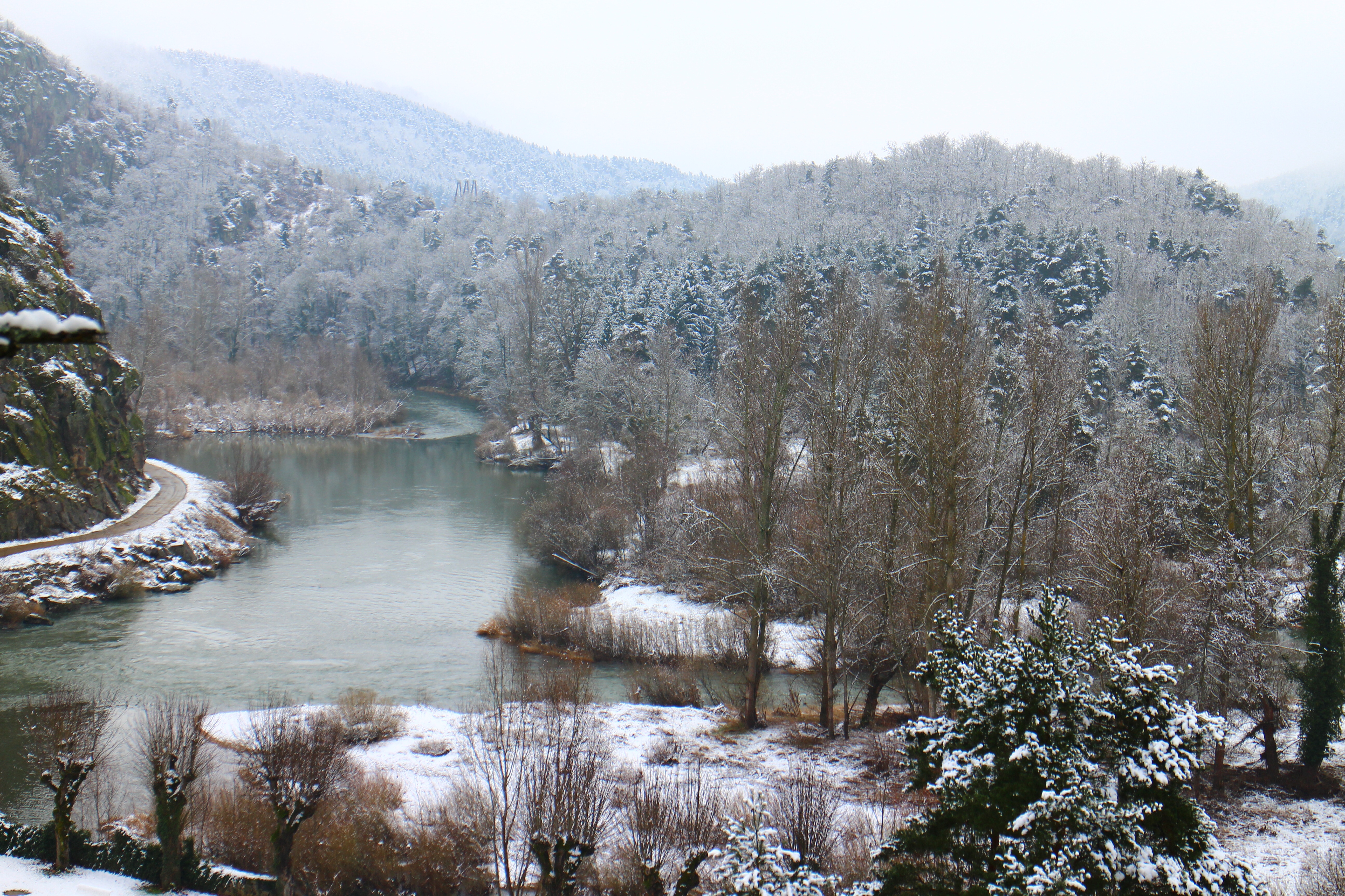
L'hiver
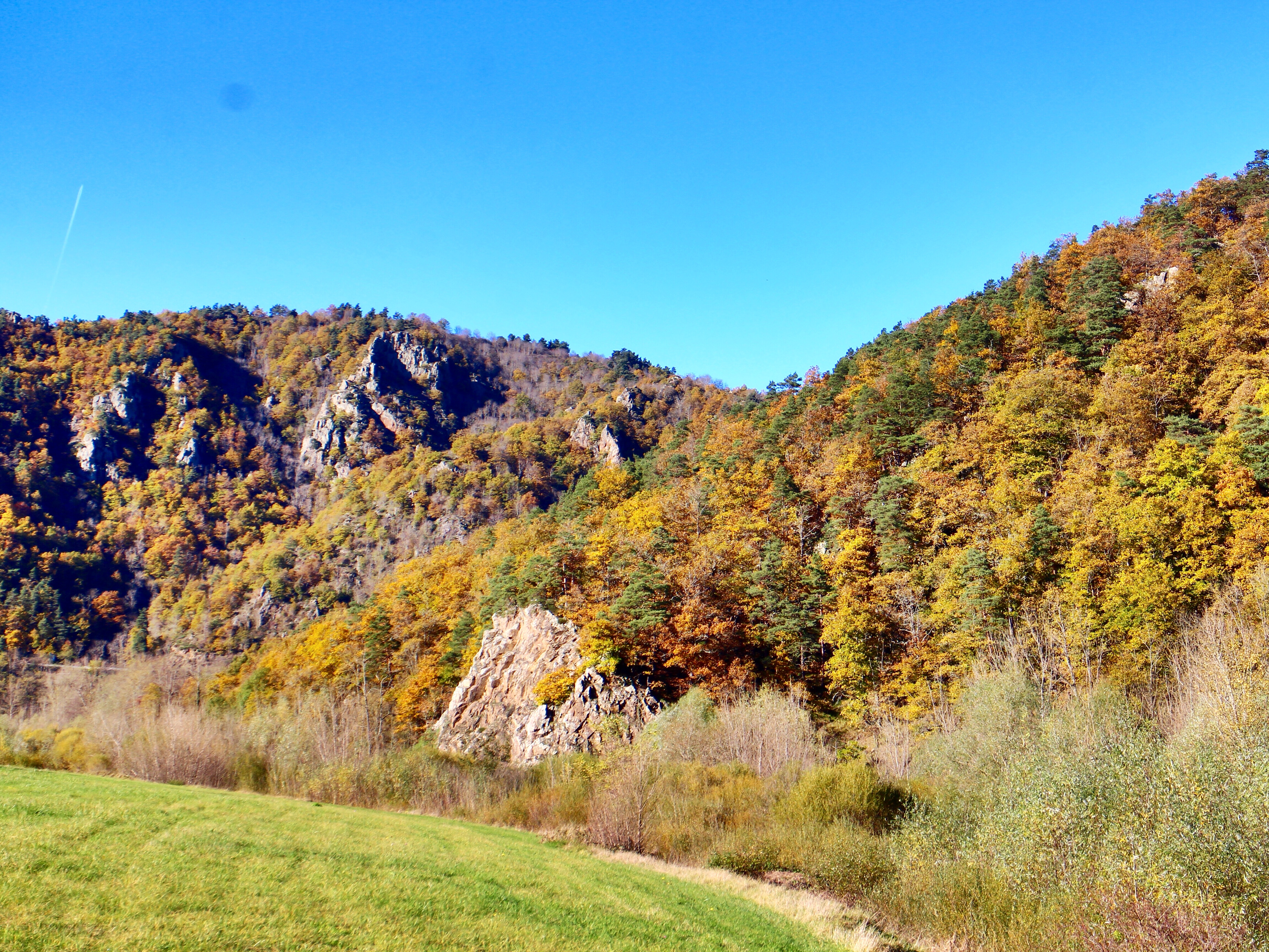
L'automne

Ciel en feu

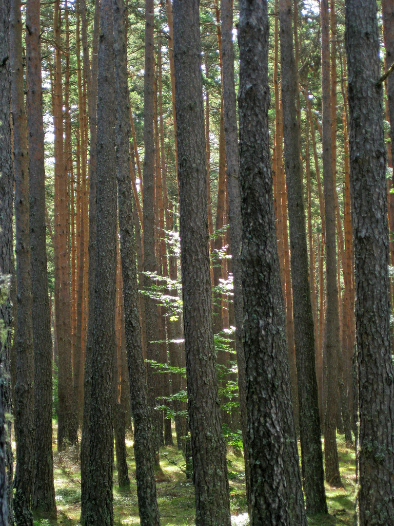
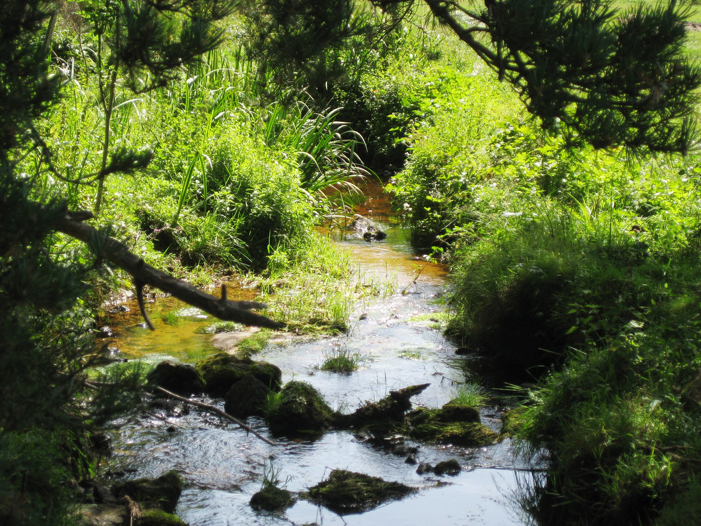
Sous bois
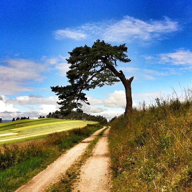
Arbre courbé. #auvergne #igersfrance

Le jour se lève

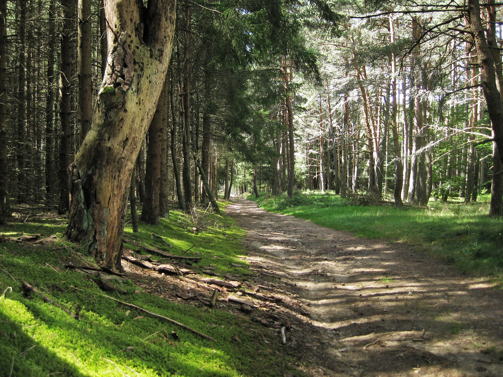
Autumn colours in the local woods.

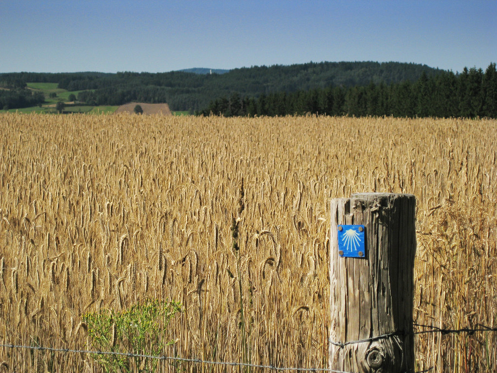
Camino 2012
Camino 2012
Camino 2012
campagne casadéenne
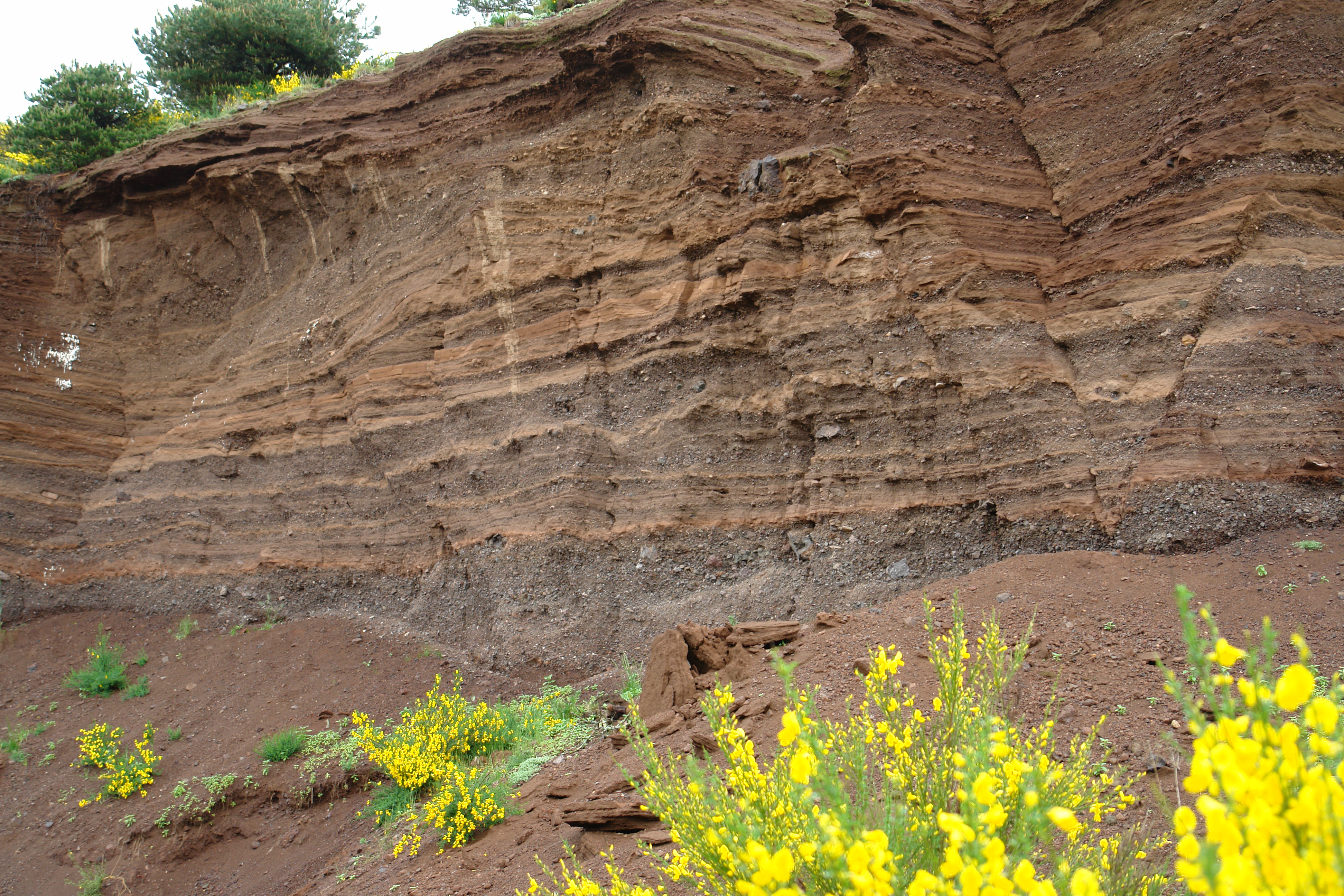
Alentour de Corey
Camino 2012

Fleurs de pommier
Camino 2012
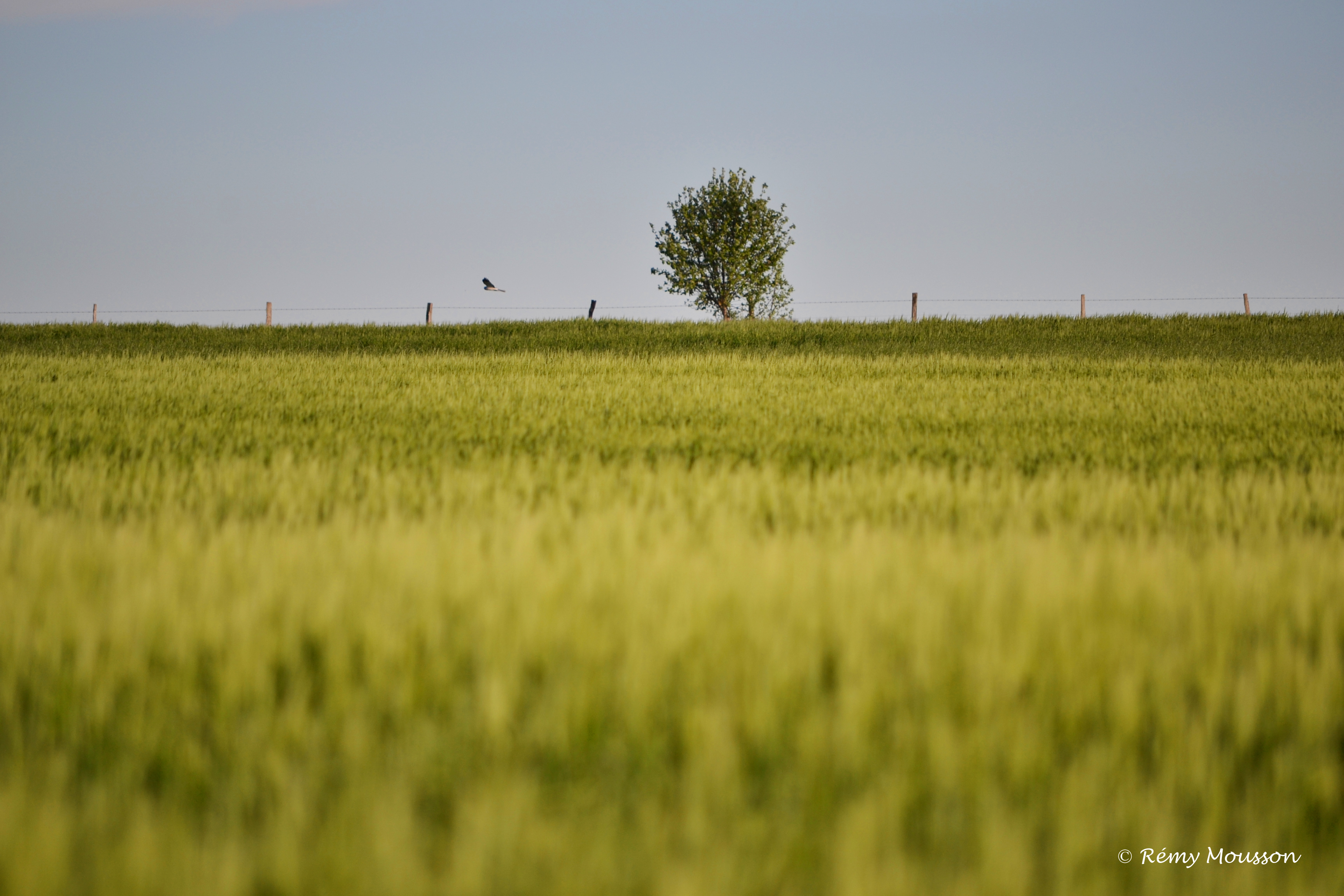
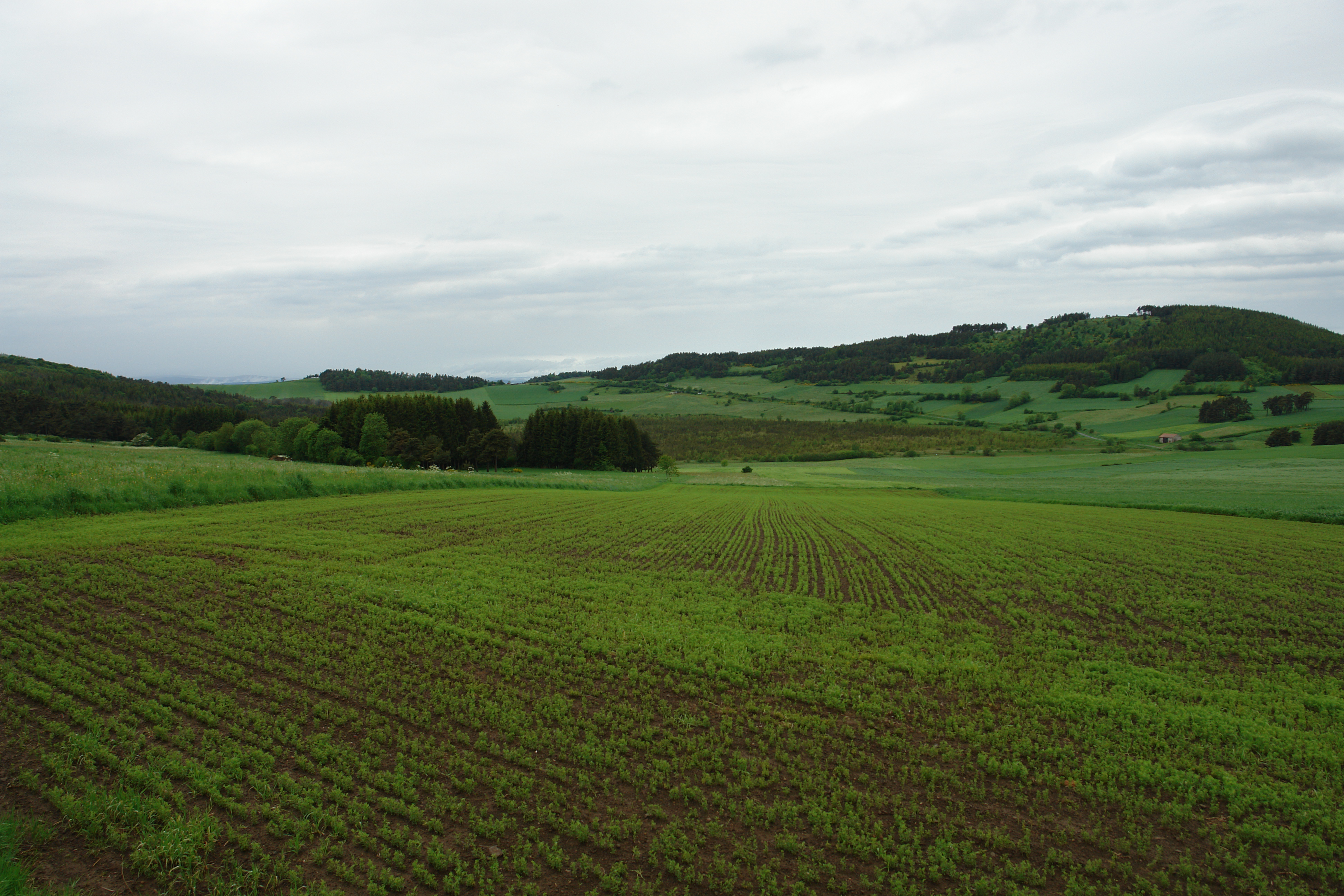
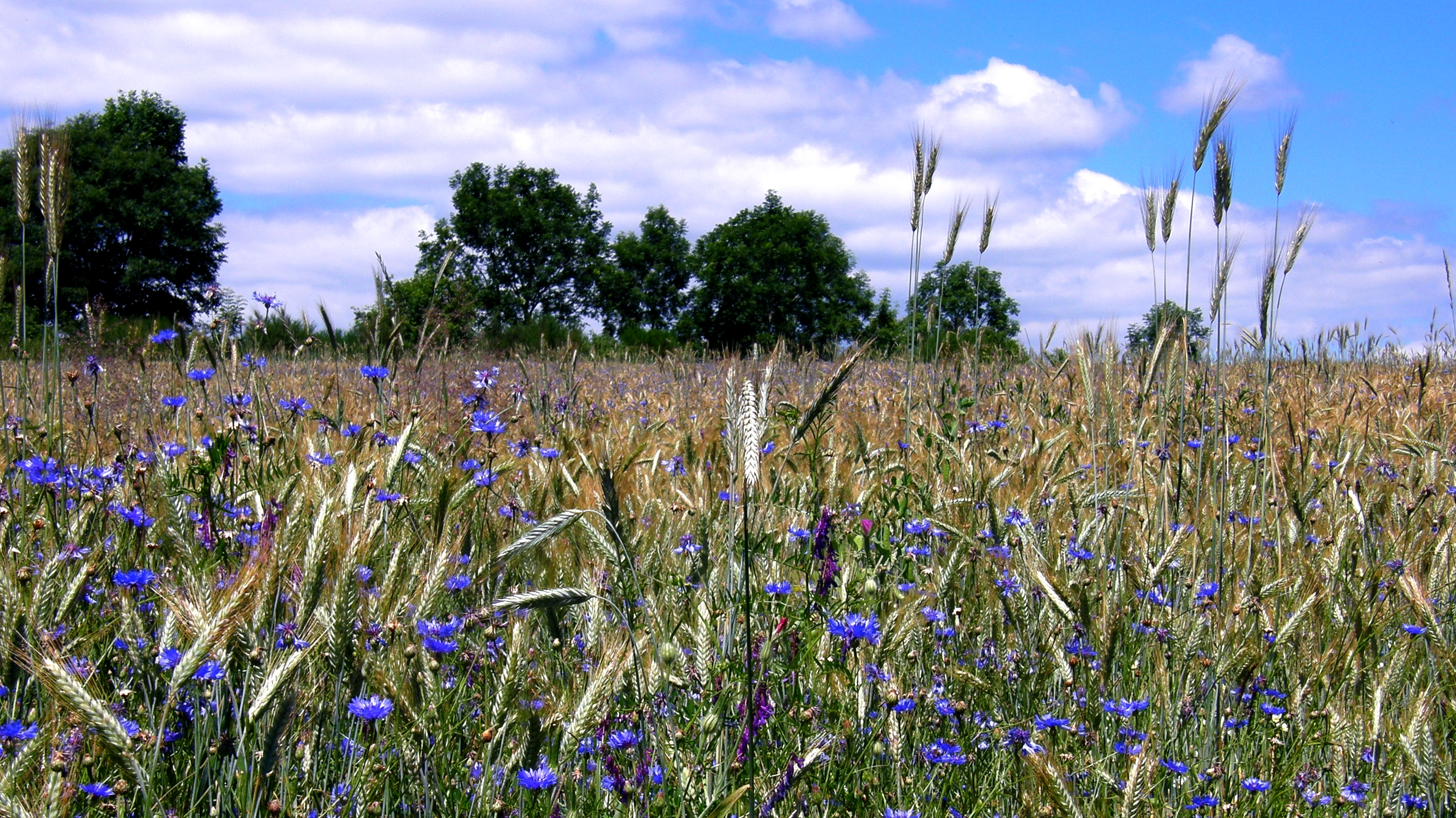
Champ - printemps 2013
Camino 2012
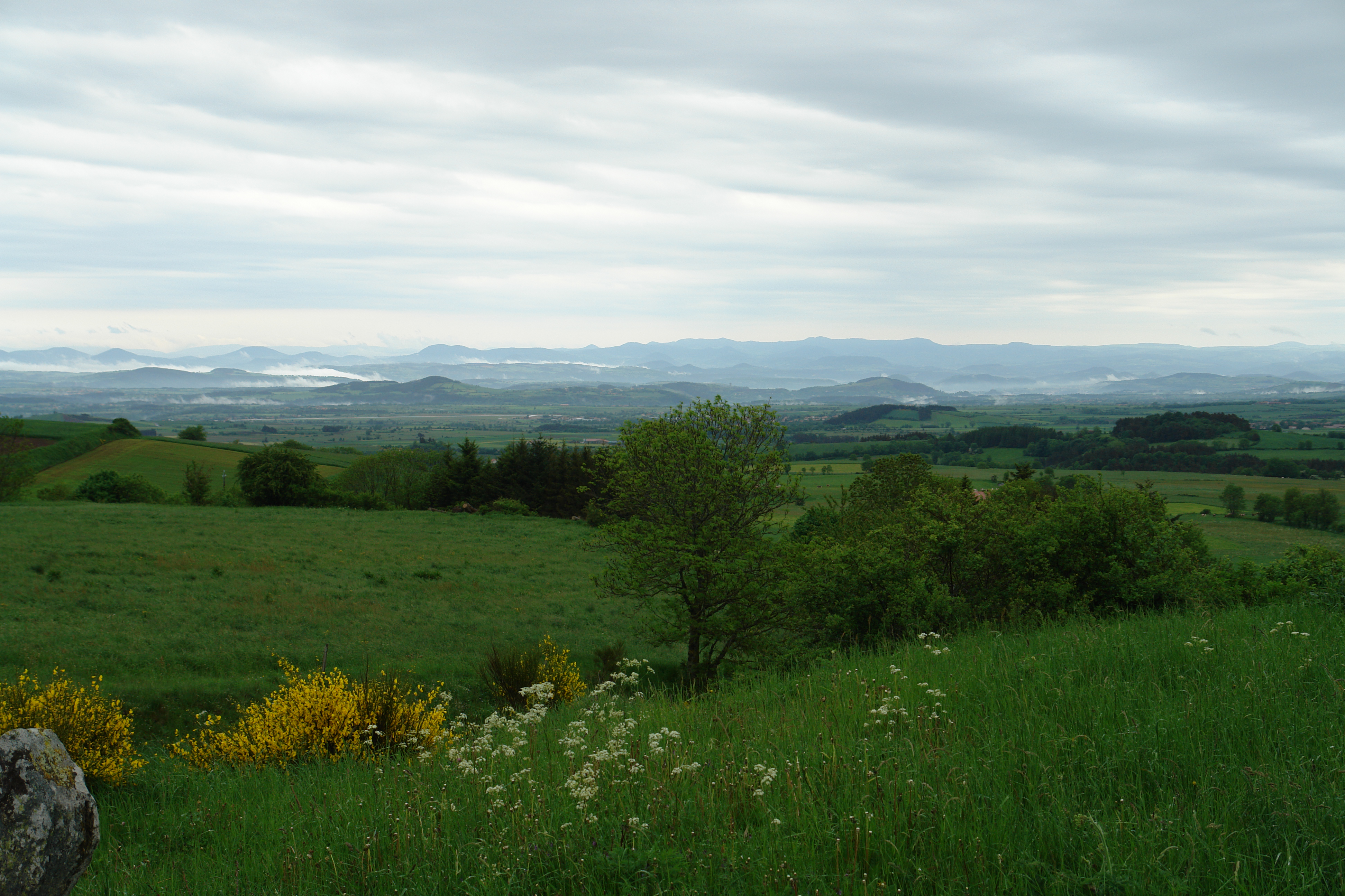
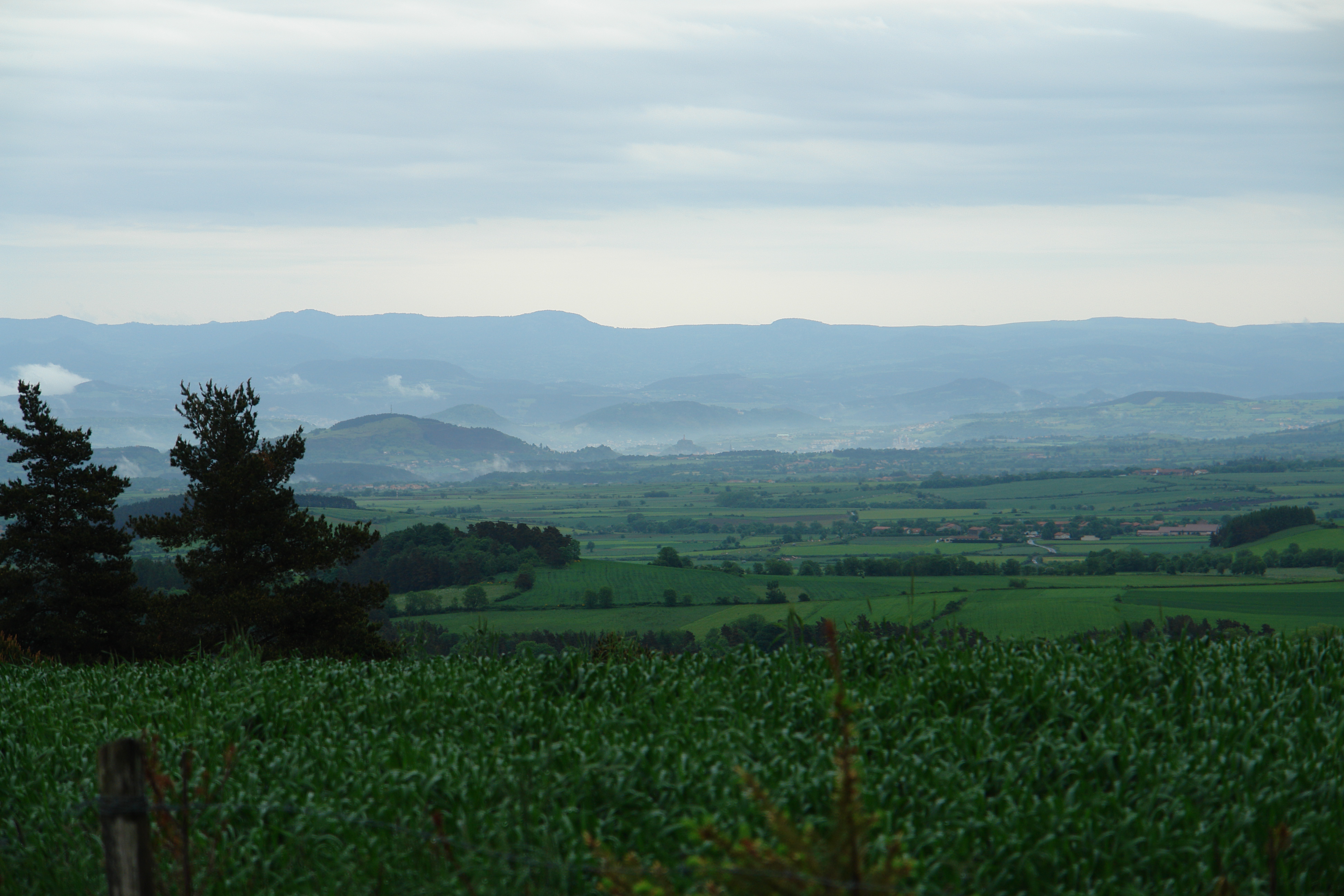
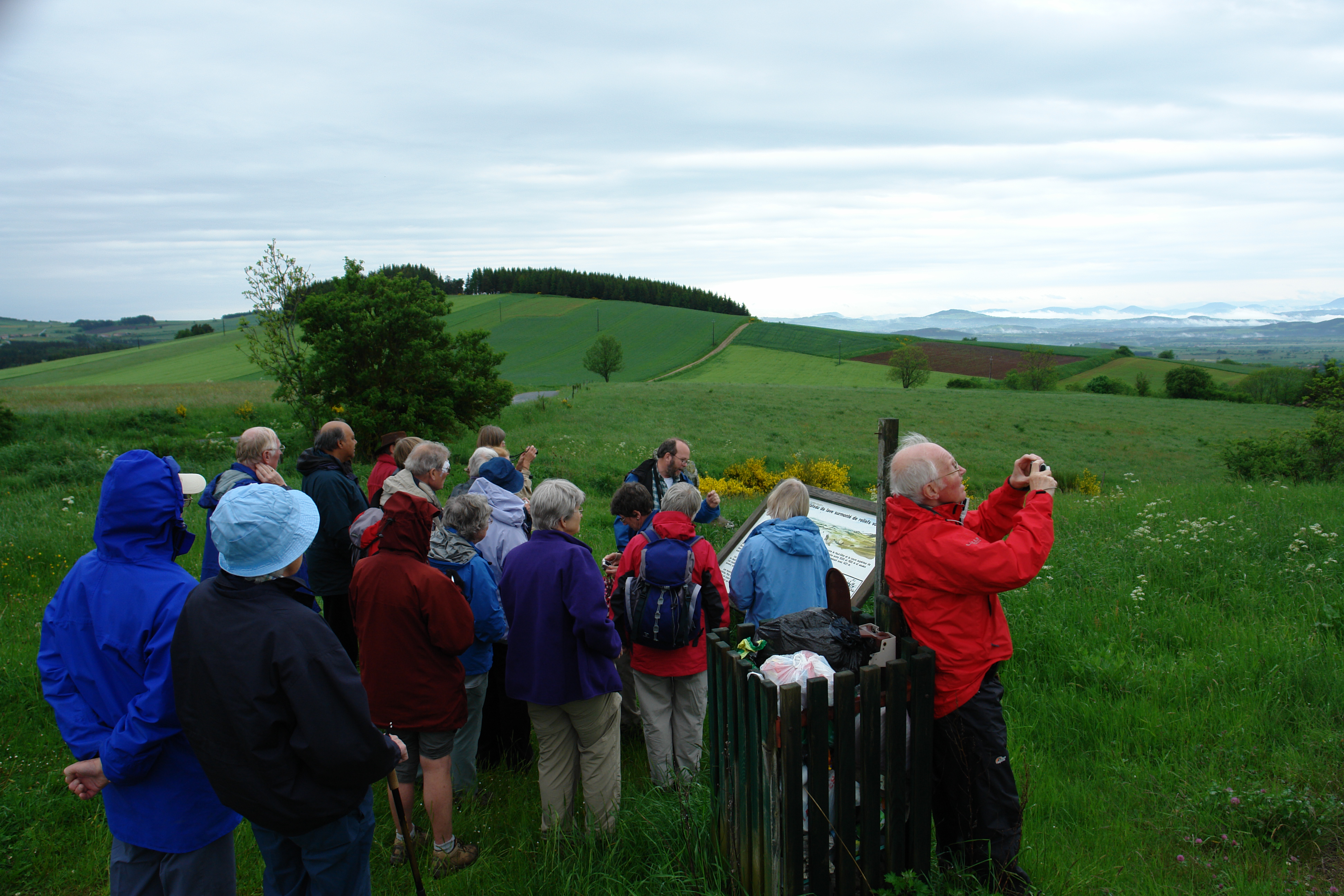
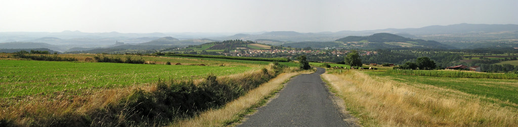
Limagne et alentours
Topographic Map of Allègre, France
Find elevation by address:

Places in Allègre, France:
Places near Allègre, France:
12 Place du Marchédial, Allègre, France
23t
Saint-paulien
2 Rue de la Mairie, Chaspuzac, France
Chaspuzac
Craponne-sur-arzon
Saint-pierre-du-champ
Rechimas
Lavoûte-sur-loire
5 Villeneuve, Saint-Pierre-du-Champ, France
Couteuges
1 Calade du Valla, Chanteuges, France
Chanteuges
14 Rue J Romain, Lavoûte-sur-Loire, France
Le Puy
Puy En Velay Station Parking
Haute-loire
Chamalières-sur-loire
Cosycamp
Condros, Saint-Étienne-Lardeyrol, France
Recent Searches:
- Elevation of Corso Fratelli Cairoli, 35, Macerata MC, Italy
- Elevation of Tallevast Rd, Sarasota, FL, USA
- Elevation of 4th St E, Sonoma, CA, USA
- Elevation of Black Hollow Rd, Pennsdale, PA, USA
- Elevation of Oakland Ave, Williamsport, PA, USA
- Elevation of Pedrógão Grande, Portugal
- Elevation of Klee Dr, Martinsburg, WV, USA
- Elevation of Via Roma, Pieranica CR, Italy
- Elevation of Tavkvetili Mountain, Georgia
- Elevation of Hartfords Bluff Cir, Mt Pleasant, SC, USA