Elevation of 12 Place du Marchédial, Allègre, France

Location: France > Haute-loire > Allègre >

Longitude: 3.7118638

Latitude: 45.2004796

Elevation: 1056m / 3465feet

Barometric Pressure: 89KPa

Elevation Map:

elevation map of 12 Place du Marchédial, Allègre, France

Satellite Map:

Satellite map of 12 Place du Marchédial, Allègre, France

Related Photos:

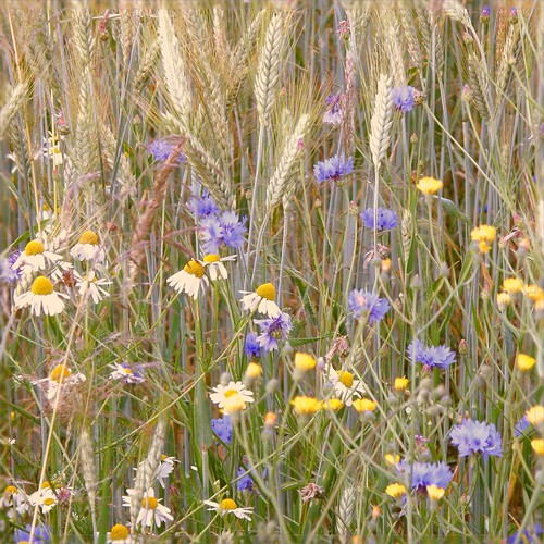
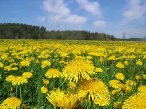
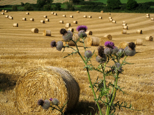
flowers fab flower nature fleur field fleurs wheat rye champ blé naturesfinest bucolique seigle bej champêtre olibac abigfave anawesomeshot ultimateshot naturewatcher theperfectphotographer olympussp560uz vosplusbellesphotos
fleurs des champs
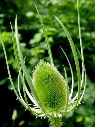
plant macro plante interestingness explore teasel dipsacusfullonum dipsacus teazle blueribbonwinner teazel cardère olibac bokehlicious cabaretdesoiseaux infinestyle photoexplore olympussp560uz explorewinnersoftheworld dipsacacées
cardère / teasel
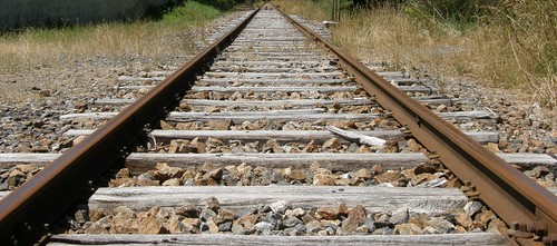
railway rails voieferrée parallèle olibac mywinners abigfave platinumphoto ultimateshot theperfectphotographer olympussp560uz
parallèles
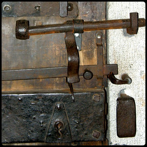
door metal rust iron lock porte bois serrure rouille verrou olibac olympussp560uz
C'est fermé ! Closed!
geotagged geo:lat=450675002000001 geo:lon=36736324000001
DSC08266.JPG
geotagged geo:lat=450643282000004 geo:lon=36707083999996
DSC08272.JPG
geotagged geo:lat=450674438 geo:lon=367277680000008
DSC08265.JPG
geotagged geo:lat=45064207 geo:lon=36708775999999
DSC08275.JPG
geotagged geo:lat=450674788000005 geo:lon=367243579999932
DSC08279.JPG
geotagged geo:lat=450674865999999 geo:lon=3673668
DSC08269.JPG
geotagged geo:lat=450675 geo:lon=367364860000015
DSC08267.JPG
geotagged geo:lat=450642120000004 geo:lon=367078299999937
DSC08274.JPG
geotagged paardenbloem geo:lat=451104083333333 geo:lon=380622222222222 map20080507
IMG_8388.JPG
geotagged map20080507 geo:lat=450945805555556 geo:lon=380885833333333
IMG_8395.JPG
geotagged map20080507 geo:lat=450998777777778 geo:lon=37998
IMG_8383_pano.jpg
geotagged geo:lat=450674399999999 geo:lon=3673605
DSC08270.JPG
geotagged geo:lat=450643019999991 geo:lon=367072099999975
DSC08273.JPG
geotagged geo:lat=451315805555556 geo:lon=380953888888889 map20080507
IMG_8393.JPG
geotagged geo:lat=451140444444444 geo:lon=380647222222222 map20080507
IMG_8389.JPG
geotagged map20080507 geo:lat=451006972222222 geo:lon=380128055555556
IMG_8385.JPG
geotagged geo:lat=451010527777778 geo:lon=380110833333333 map20080507
IMG_8386.JPG
paysage loire hauteloire
Bel apès-midi hivernal en bord de Loire
vorey
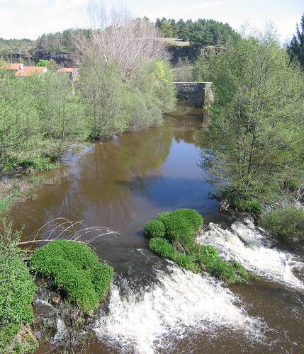
Rivière L'arzon
vorey
L'hiver
vorey
L'automne
vorey
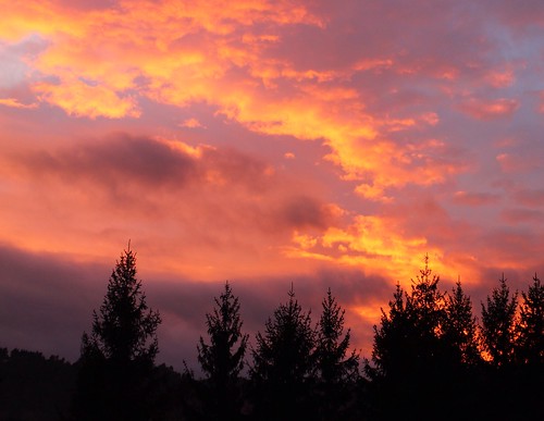
Ciel en feu
vorey
Sous bois
Arbre courbé. #auvergne #igersfrance
vorey
Le jour se lève
montclardroad
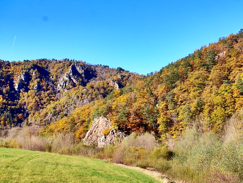
Autumn colours in the local woods.
frankreich camino kultur natur pflanzen felder blumen jakobsweg fra auvergne landschaften pilgern chemindestjacques blanzac nolhac
Camino 2012
frankreich camino kultur natur pflanzen bäume jakobsweg fra auvergne landschaften argentières pilgern wälder chemindestjacques beaunesurarzon
Camino 2012
frankreich camino kultur natur jakobsweg fra auvergne wege landschaften pilgern wälder chomelix chemindestjacques chadouard
Camino 2012