Elevation of Rd, Olathe, CO, USA
Location: United States > Colorado > Montrose County > Olathe >
Longitude: -108.03965
Latitude: 38.608049
Elevation: 1642m / 5387feet
Barometric Pressure: 83KPa
Elevation Map:
Satellite Map:
Related Photos:

Business Section - Delta, Colorado

Delta, Colorado

First Methodist Episcopal Church of Delta

Like a toothless grin

Coffee and a cigarette

Underground Uncompahgre #22

Young's Mountain View Orchard & Winery

Young's Mountain View Orchard & Winery

Young's Mountain View Orchard & Winery

Forty miles north, 5,000 feet up

Evening Clouds

Underground Uncompahgre #15

Gift from the mountains

In the Field

a fight for the right to bathe in the sun
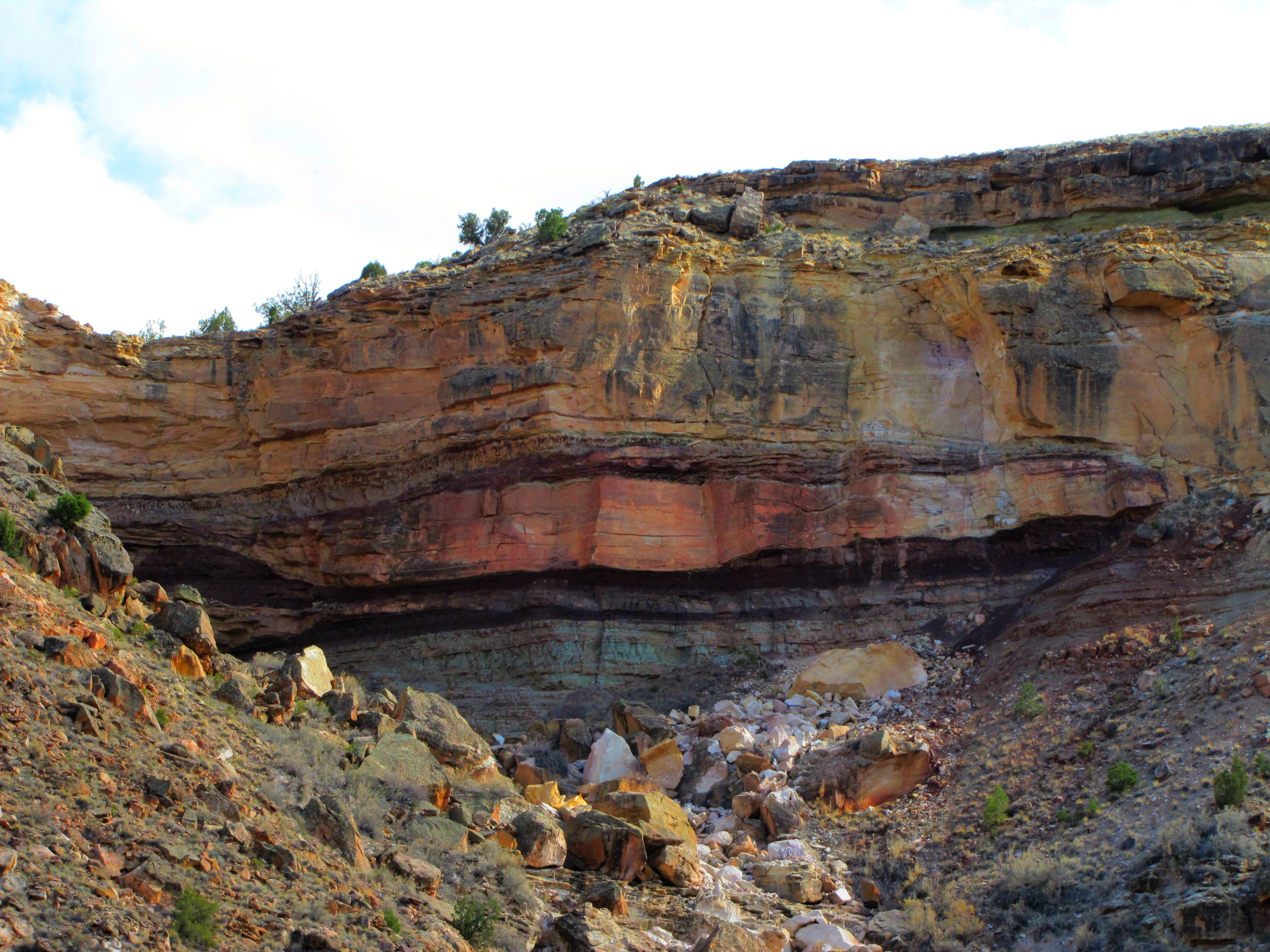
Roubideau rainbow wall
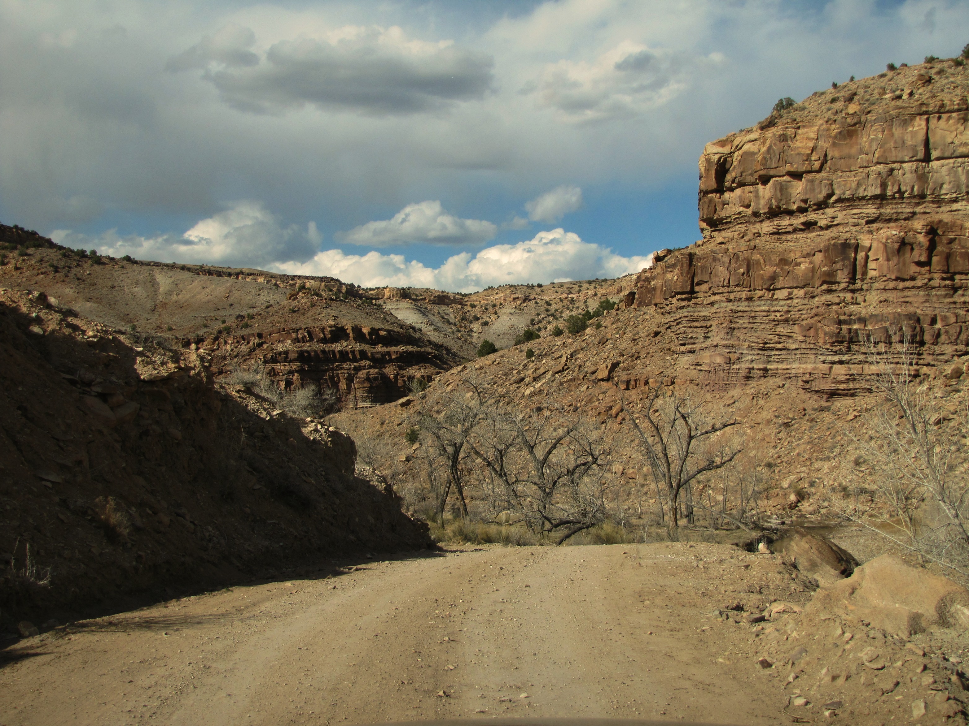
Roubideau road

Roubideau Canyon homestead

US-50 West at Bus. US-50/CO-348

High desert gap

Sunset up above
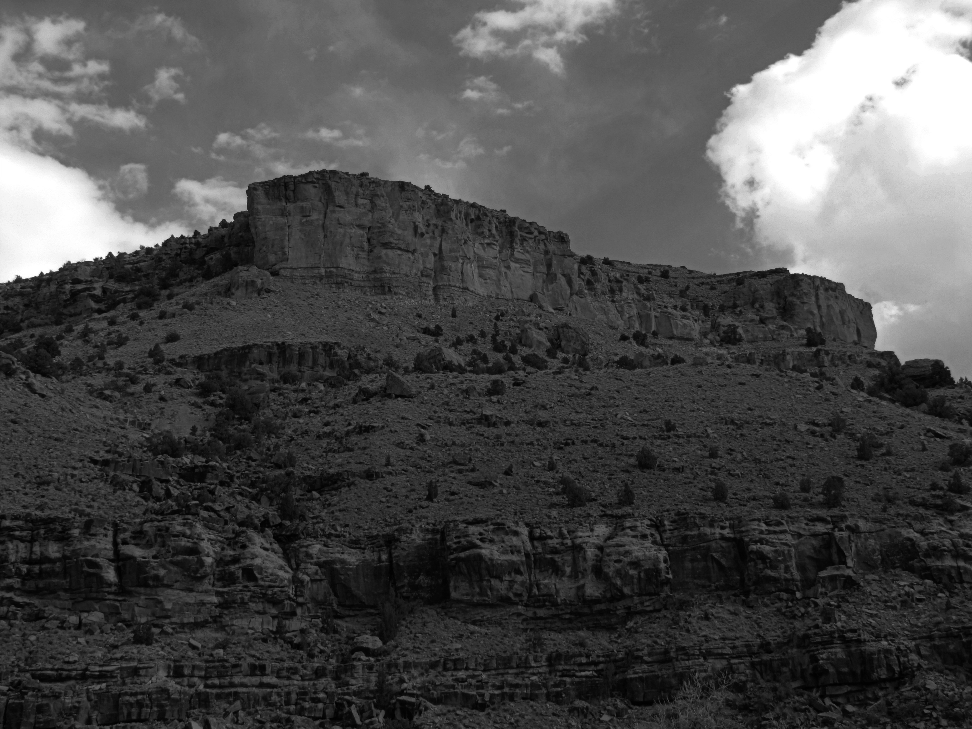
High desert summit

CANADIAN GEESE AND BABIES

CANADIAN GEESE AND VARIOUS SIZE BABIES

On the road to Denver...

WP_20131226_07_23_52_Pro.jpg

WP_20131226_07_07_32_Pro.jpg

WP_20131226_07_15_12_Pro.jpg

WP_20131226_07_12_32_Pro.jpg
Topographic Map of Rd, Olathe, CO, USA
Find elevation by address:

Places near Rd, Olathe, CO, USA:
5223 Co-348
6022 5500 Rd
Rd, Olathe, CO, USA
54867 Banner Rd
Shenanigans Bail Bonds
9838 5650 Rd
6126 5300 Rd
Olathe
415 Violetta Rd
4135 5950 Rd
5950 Road
749 1650 Rd
Pea Green Community Center
4391 6000 Rd
59179 Indigo Ct
8810 S River Rd
4215 Tessman Rd
3708 2000 Rd
668 1200 Rd
4477 1550 Rd
Recent Searches:
- Elevation of Corso Fratelli Cairoli, 35, Macerata MC, Italy
- Elevation of Tallevast Rd, Sarasota, FL, USA
- Elevation of 4th St E, Sonoma, CA, USA
- Elevation of Black Hollow Rd, Pennsdale, PA, USA
- Elevation of Oakland Ave, Williamsport, PA, USA
- Elevation of Pedrógão Grande, Portugal
- Elevation of Klee Dr, Martinsburg, WV, USA
- Elevation of Via Roma, Pieranica CR, Italy
- Elevation of Tavkvetili Mountain, Georgia
- Elevation of Hartfords Bluff Cir, Mt Pleasant, SC, USA