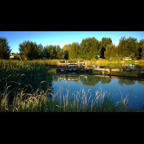
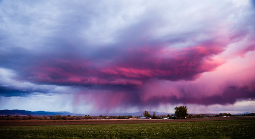
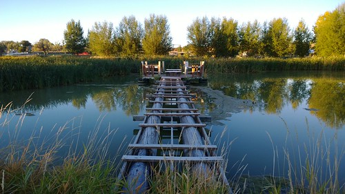
Elevation of Rd, Olathe, CO, USA
Location: United States > Colorado > Montrose County > Olathe >
Longitude: -108.09506
Latitude: 38.605376
Elevation: 1700m / 5577feet
Barometric Pressure: 82KPa
Related Photos:
Topographic Map of Rd, Olathe, CO, USA
Find elevation by address:

Places near Rd, Olathe, CO, USA:
6022 5500 Rd
5223 Co-348
Pea Green Community Center
5978 5600 Rd
54867 Banner Rd
415 Violetta Rd
Shenanigans Bail Bonds
668 1200 Rd
9838 5650 Rd
749 1650 Rd
1311 1200 Rd
Rd, Olathe, CO, USA
4215 Tessman Rd
Olathe
4477 1550 Rd
4135 5950 Rd
59179 Indigo Ct
5950 Road
8810 S River Rd
12635 F Rd
Recent Searches:
- Elevation of Corso Fratelli Cairoli, 35, Macerata MC, Italy
- Elevation of Tallevast Rd, Sarasota, FL, USA
- Elevation of 4th St E, Sonoma, CA, USA
- Elevation of Black Hollow Rd, Pennsdale, PA, USA
- Elevation of Oakland Ave, Williamsport, PA, USA
- Elevation of Pedrógão Grande, Portugal
- Elevation of Klee Dr, Martinsburg, WV, USA
- Elevation of Via Roma, Pieranica CR, Italy
- Elevation of Tavkvetili Mountain, Georgia
- Elevation of Hartfords Bluff Cir, Mt Pleasant, SC, USA
