Elevation of Rankleburn Road, Rankleburn Rd, Rankleburn, New Zealand
Location: New Zealand > Otago > Rankleburn >
Longitude: 169.321324
Latitude: -46.036236
Elevation: 221m / 725feet
Barometric Pressure: 99KPa
Elevation Map:
Satellite Map:
Related Photos:

Tree and cloud

Incoming!

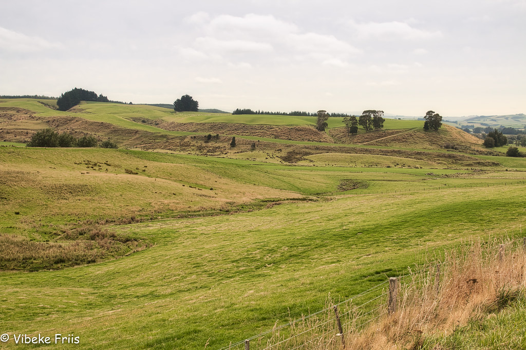
West Otago Morn
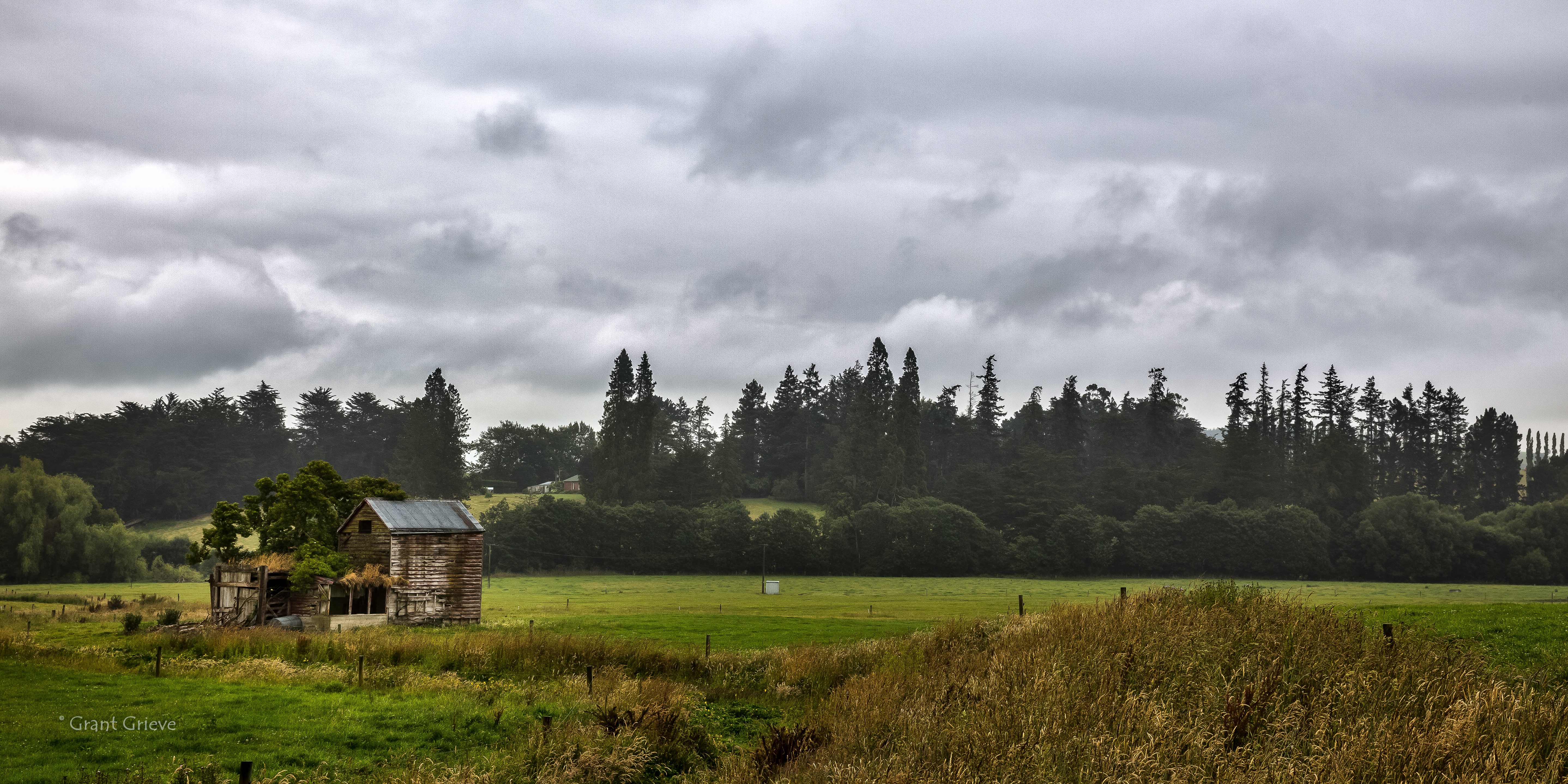
Farm before the storm
Pomahaka River
Blue Mountains

Sculpting the Landscape
southland sunset
Rainy Days And.........

Waikoikoi Creek
180227 133549

20090103-DSC_5300

International 474
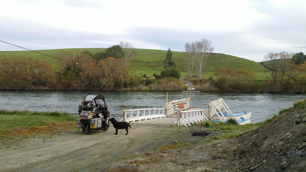
Tuapeka Mouth ferry
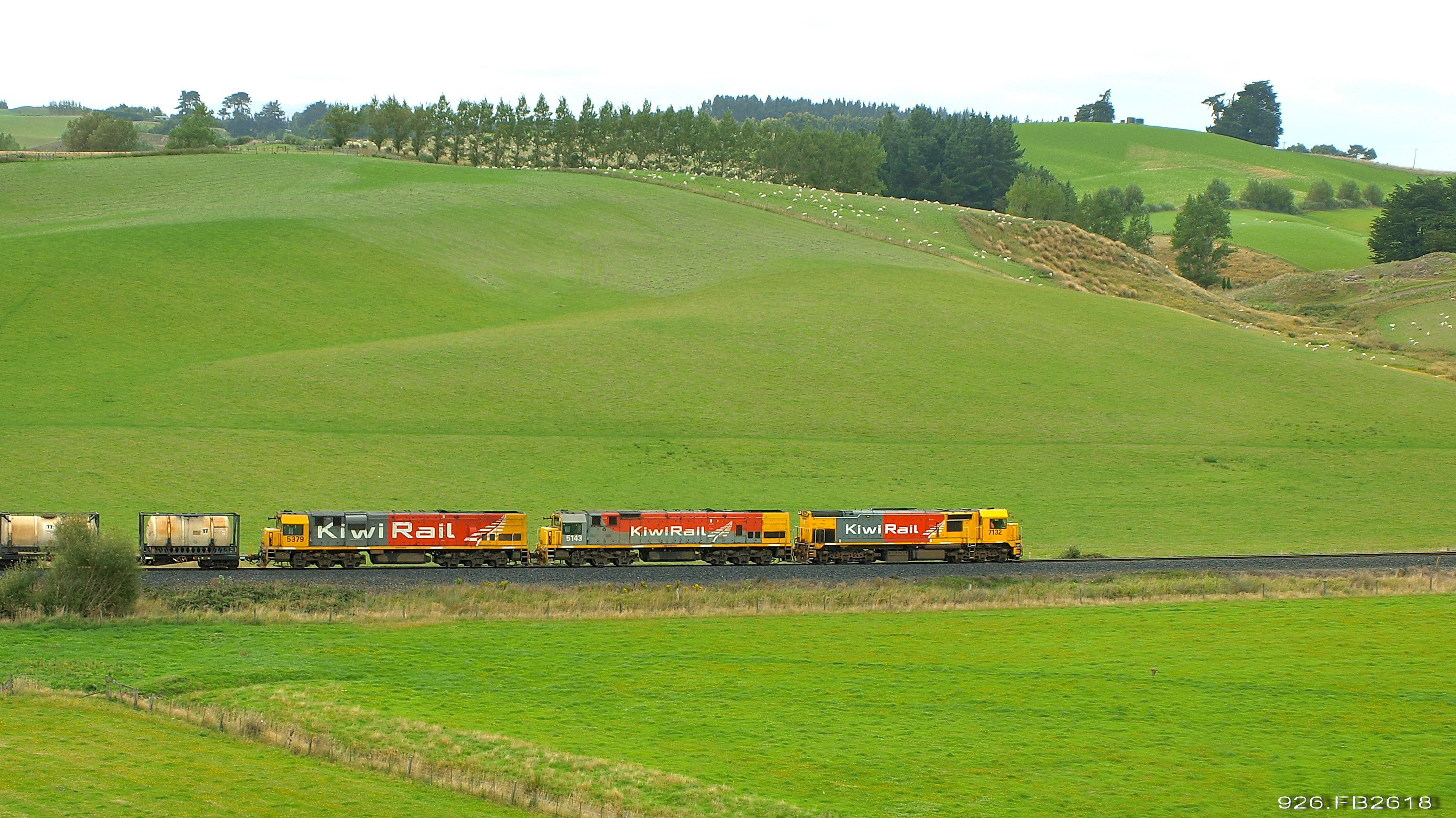
926 racing to the Arthurton Summit
Topographic Map of Rankleburn Road, Rankleburn Rd, Rankleburn, New Zealand
Find elevation by address:

Places near Rankleburn Road, Rankleburn Rd, Rankleburn, New Zealand:
Rankleburn
Rankleburn Road
4 Mill St
9 Back Street
26 Bushyhill Street
Tapanui
State Highway 1
Clinton
Clutha District
81 Wentworth St
Gore
9 Denton St
Lawrence
33 Ross Pl
Millers Flat
2 Iona Street
Millers Flat Holiday Park
66 Wigan St
Ettrick
1223 Hunt Rd
Recent Searches:
- Elevation of Corso Fratelli Cairoli, 35, Macerata MC, Italy
- Elevation of Tallevast Rd, Sarasota, FL, USA
- Elevation of 4th St E, Sonoma, CA, USA
- Elevation of Black Hollow Rd, Pennsdale, PA, USA
- Elevation of Oakland Ave, Williamsport, PA, USA
- Elevation of Pedrógão Grande, Portugal
- Elevation of Klee Dr, Martinsburg, WV, USA
- Elevation of Via Roma, Pieranica CR, Italy
- Elevation of Tavkvetili Mountain, Georgia
- Elevation of Hartfords Bluff Cir, Mt Pleasant, SC, USA