Elevation of Gore, New Zealand
Location: New Zealand > Southland > Gore District >
Longitude: 168.945819
Latitude: -46.098799
Elevation: 65m / 213feet
Barometric Pressure: 101KPa
Elevation Map:
Satellite Map:
Related Photos:
Mataura
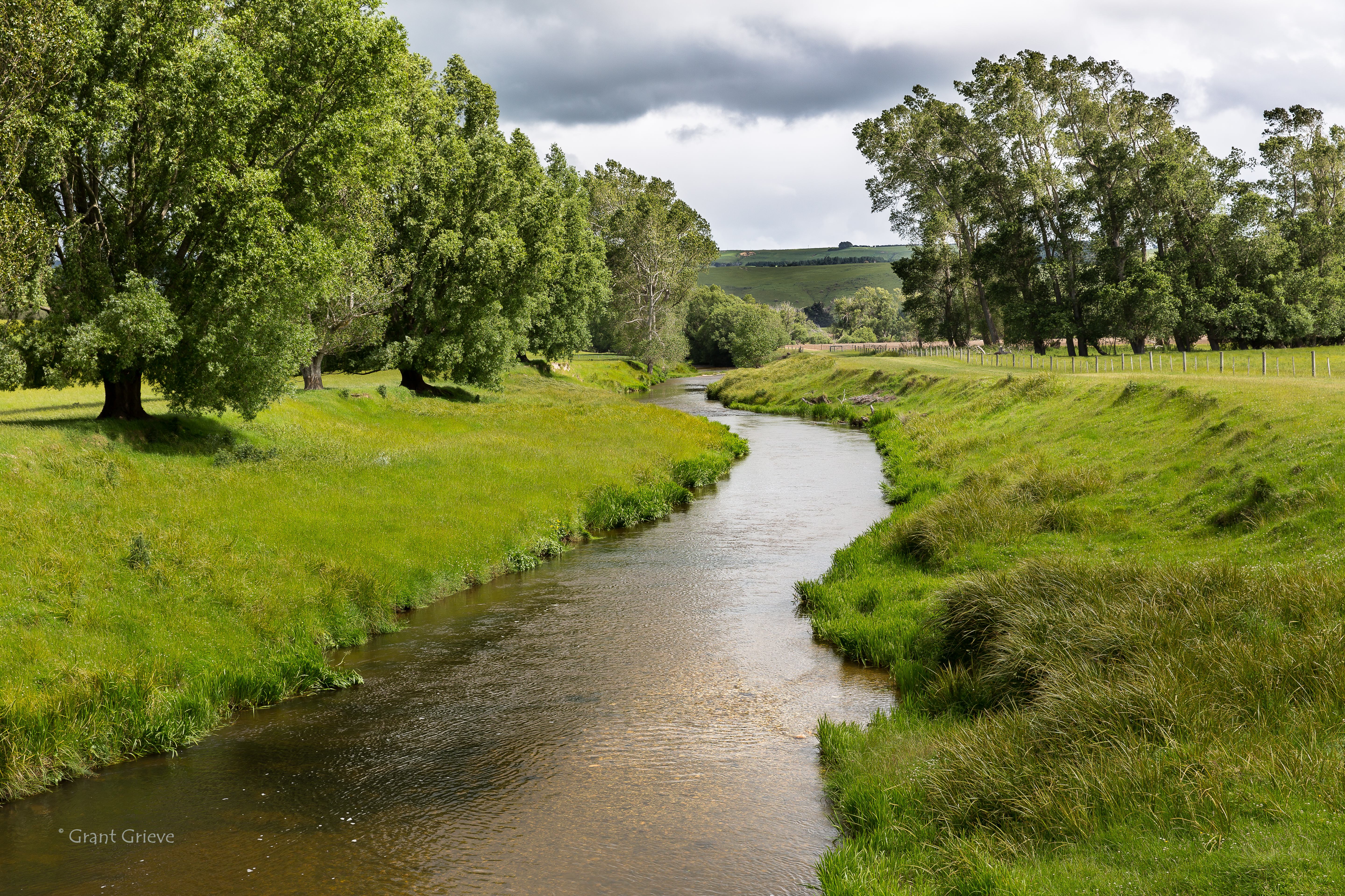
Waikaka Stream
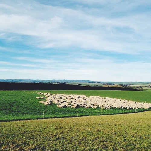
Shepherding this morning in the truck
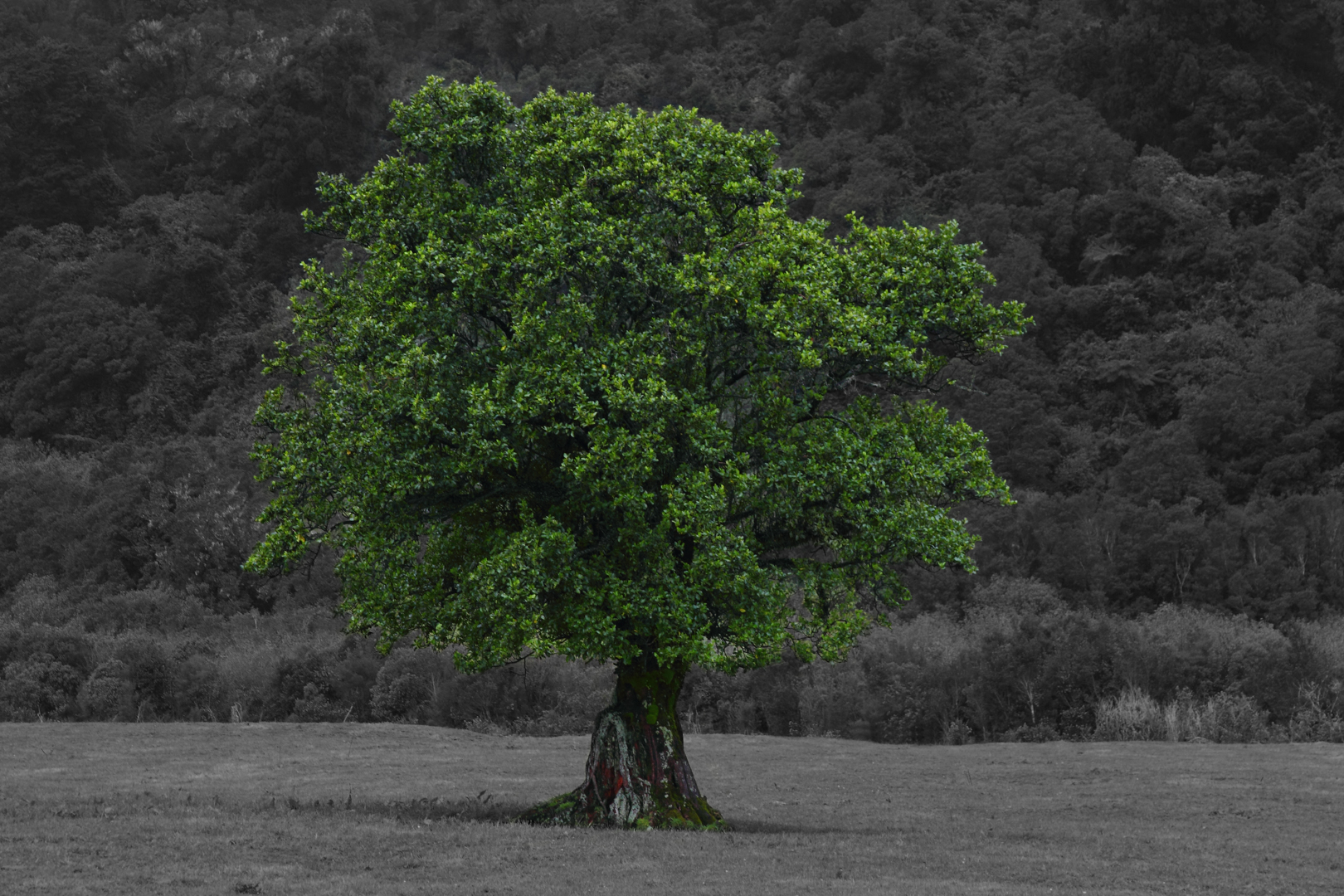
The Tree
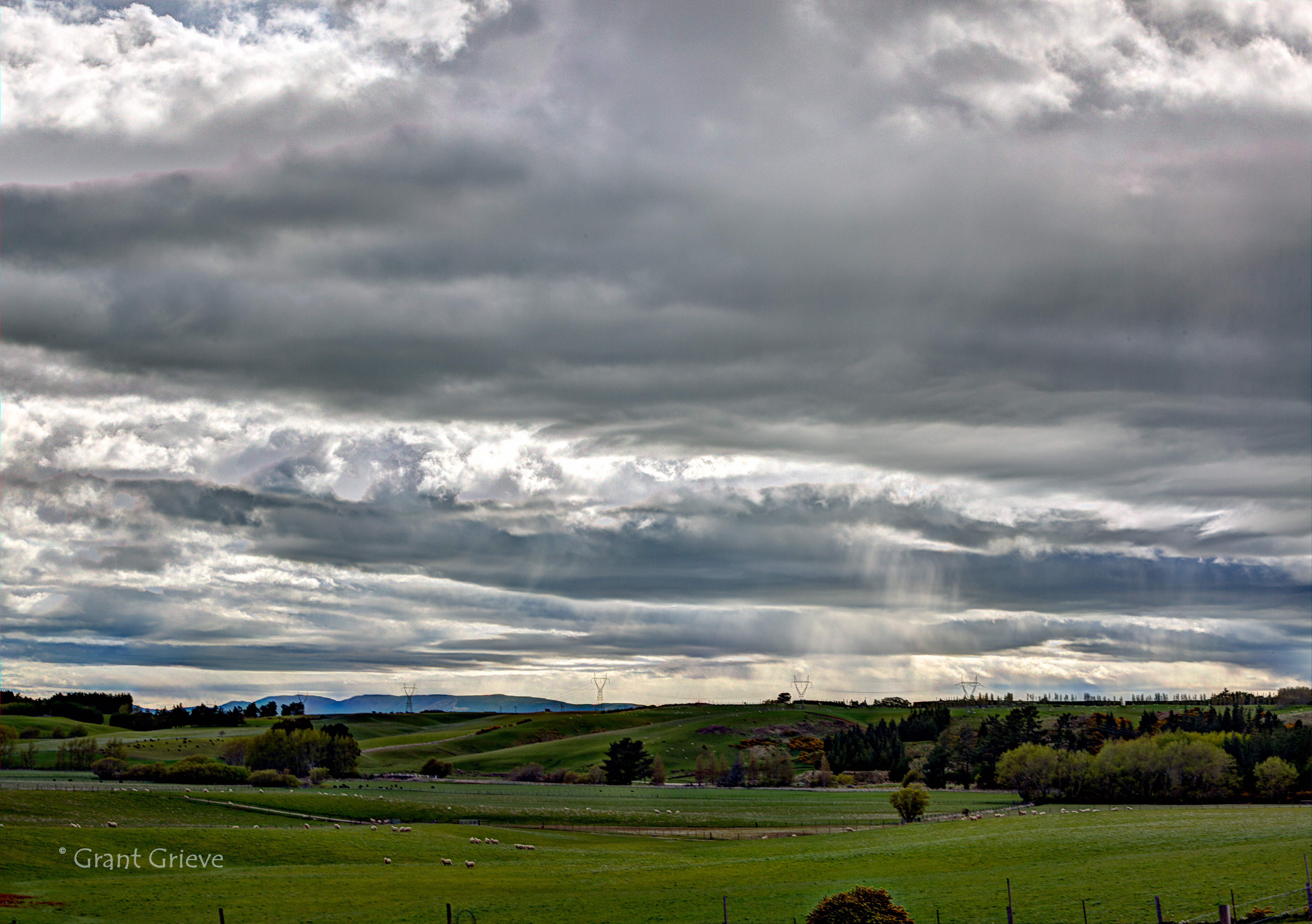
Unsettled Weather

Purple Flower
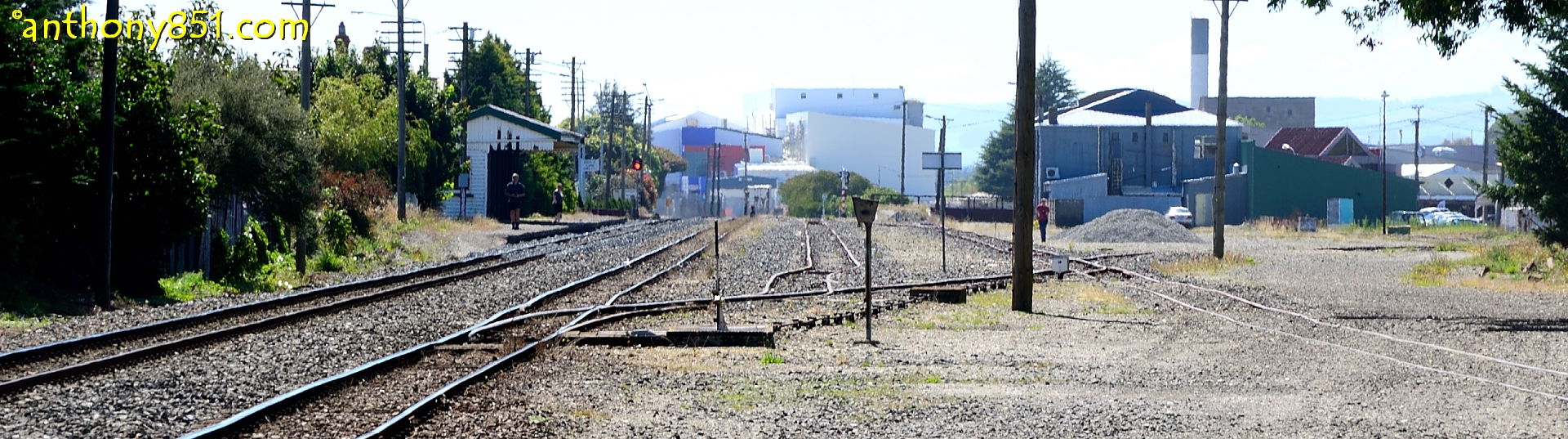
GORE.jpg
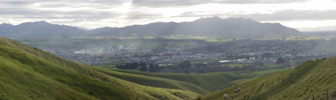
Moa hill
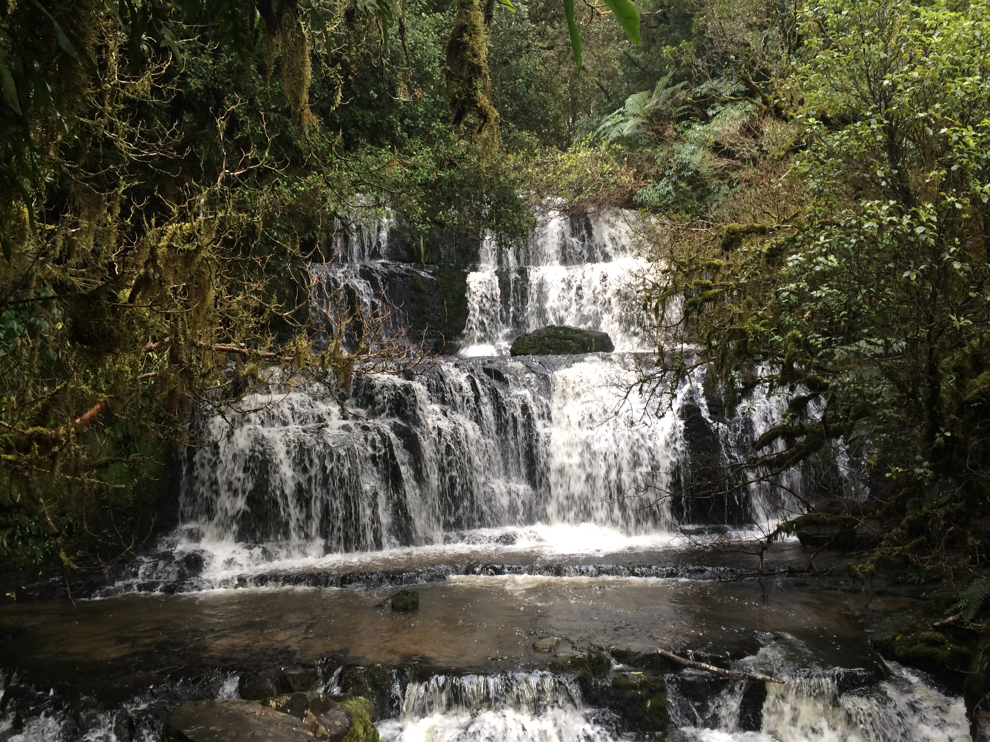
photo 15
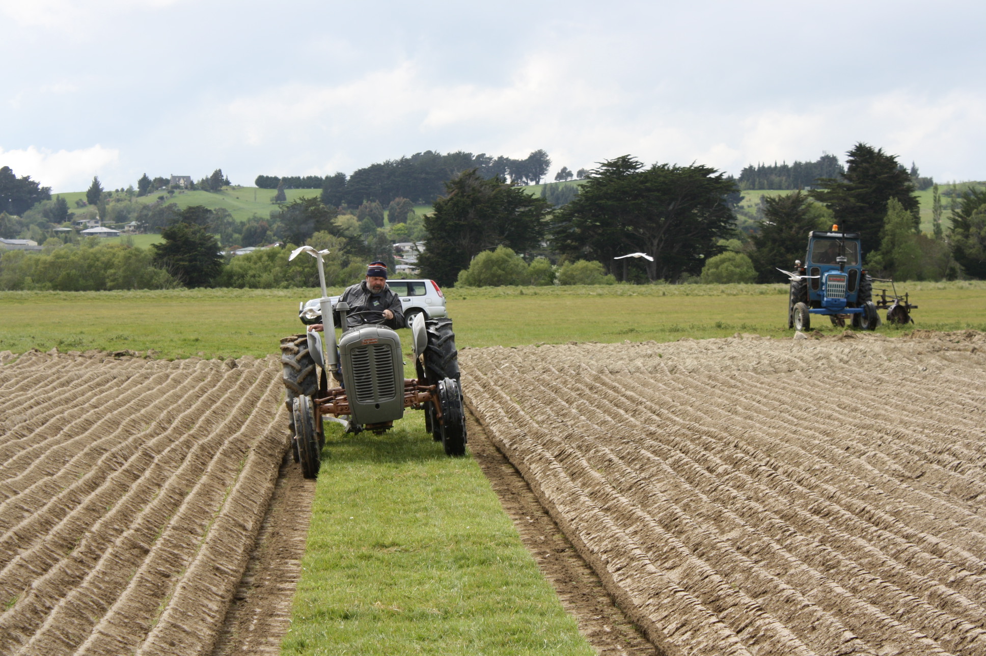
Ferguson FE-35
Topographic Map of Gore, New Zealand
Find elevation by address:

Places near Gore, New Zealand:
9 Denton St
66 Wigan St
81 Wentworth St
Gore District
Croydon Bush
76 Croydon Bush Road
Mimihau
Wyndham
Rankleburn Road
Tapanui
9 Back Street
26 Bushyhill Street
4 Mill St
Rankleburn Road
Clinton
Rankleburn
State Highway 1
Ettrick
Millers Flat Holiday Park
Millers Flat
Recent Searches:
- Elevation of Corso Fratelli Cairoli, 35, Macerata MC, Italy
- Elevation of Tallevast Rd, Sarasota, FL, USA
- Elevation of 4th St E, Sonoma, CA, USA
- Elevation of Black Hollow Rd, Pennsdale, PA, USA
- Elevation of Oakland Ave, Williamsport, PA, USA
- Elevation of Pedrógão Grande, Portugal
- Elevation of Klee Dr, Martinsburg, WV, USA
- Elevation of Via Roma, Pieranica CR, Italy
- Elevation of Tavkvetili Mountain, Georgia
- Elevation of Hartfords Bluff Cir, Mt Pleasant, SC, USA