Elevation of Rangely, CO, USA
Location: United States > Colorado > Rio Blanco County >
Longitude: -108.80482
Latitude: 40.0874759
Elevation: 1593m / 5226feet
Barometric Pressure: 84KPa
Elevation Map:
Satellite Map:
Related Photos:
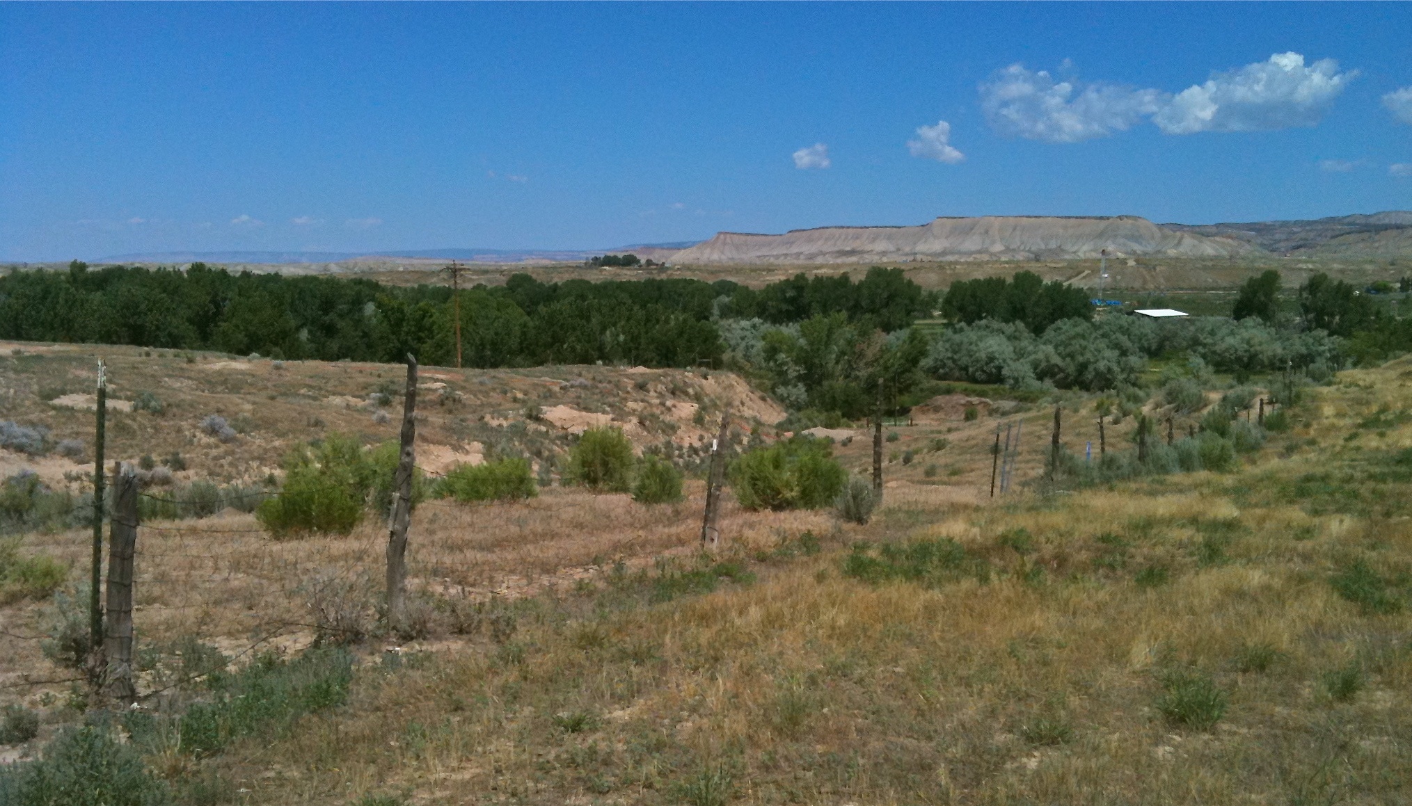
Rangely Countryside
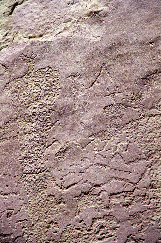
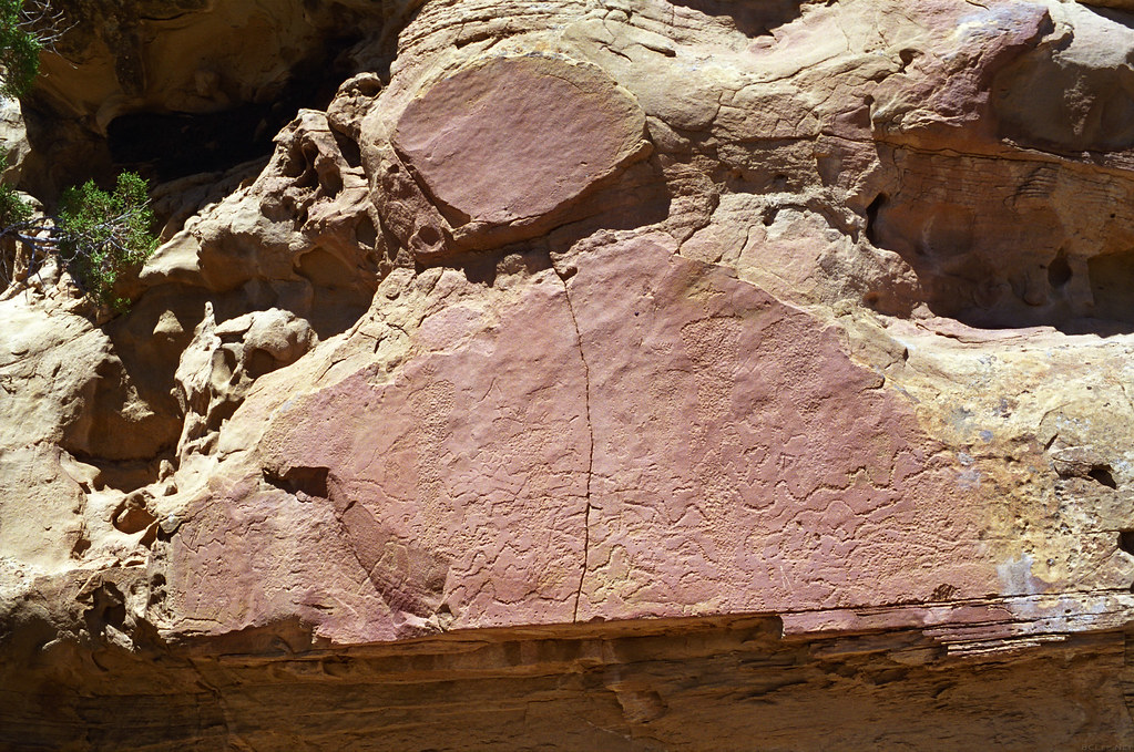
Colorado BCS Panel Closeup
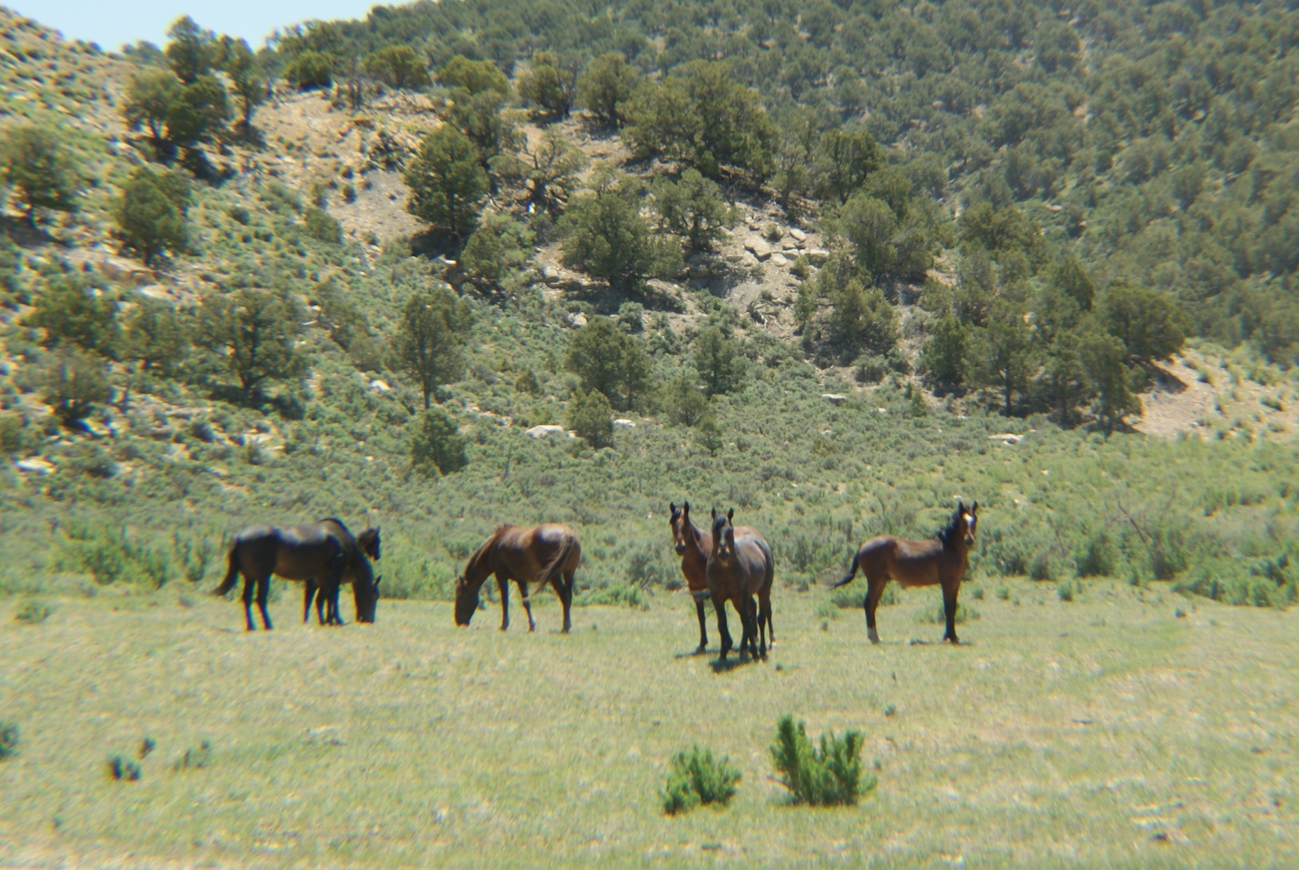
Wild Horses
Rangely romanticized
Colorado BCS Panel
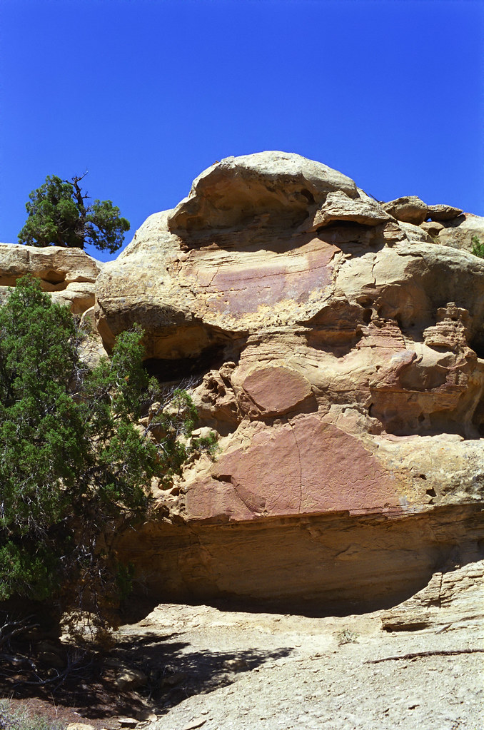
Colorado BCS Panel
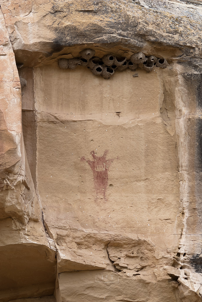
Petroglyph in Canyon Pintado
Hwy 139 to Dinosaur
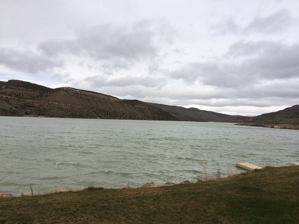
Kenney Reservior, Colorado

Kenney Reservoir, Colorado
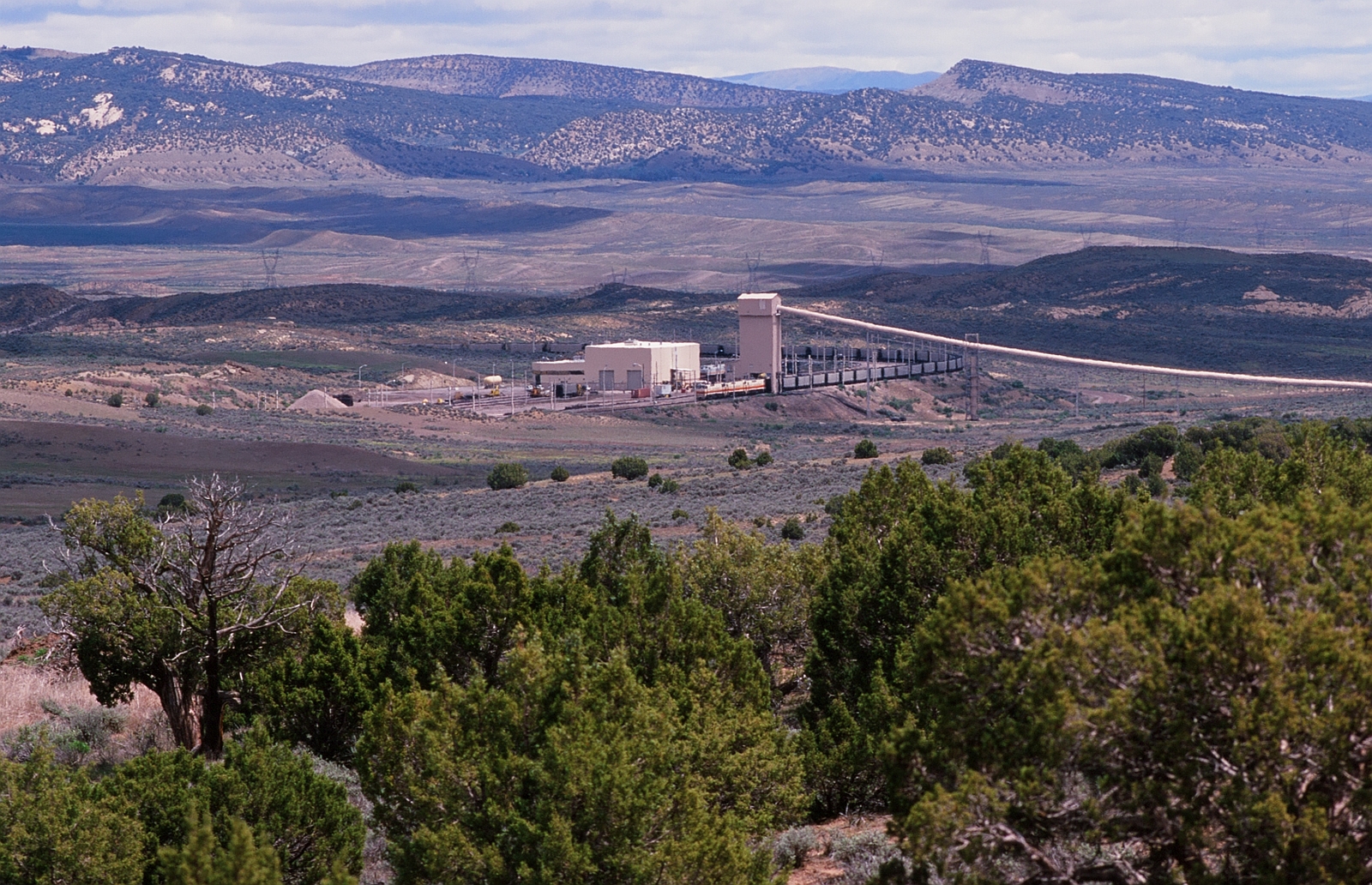
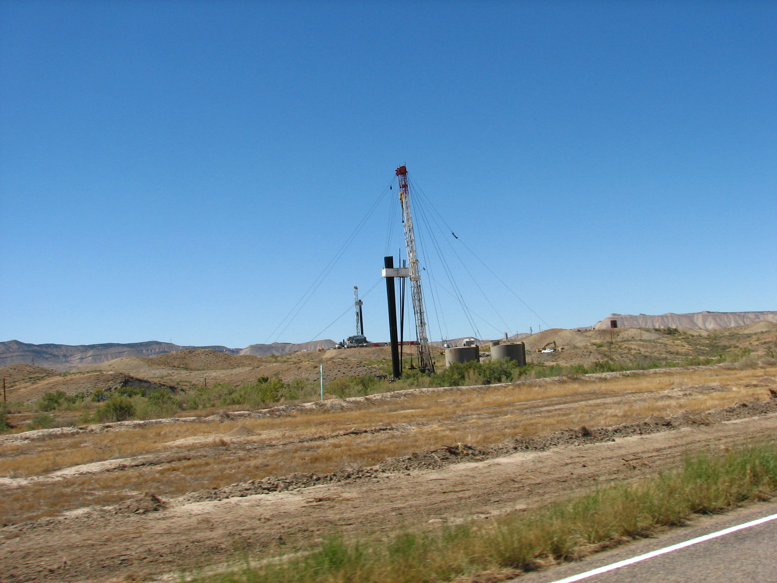
Deseret Power Railway
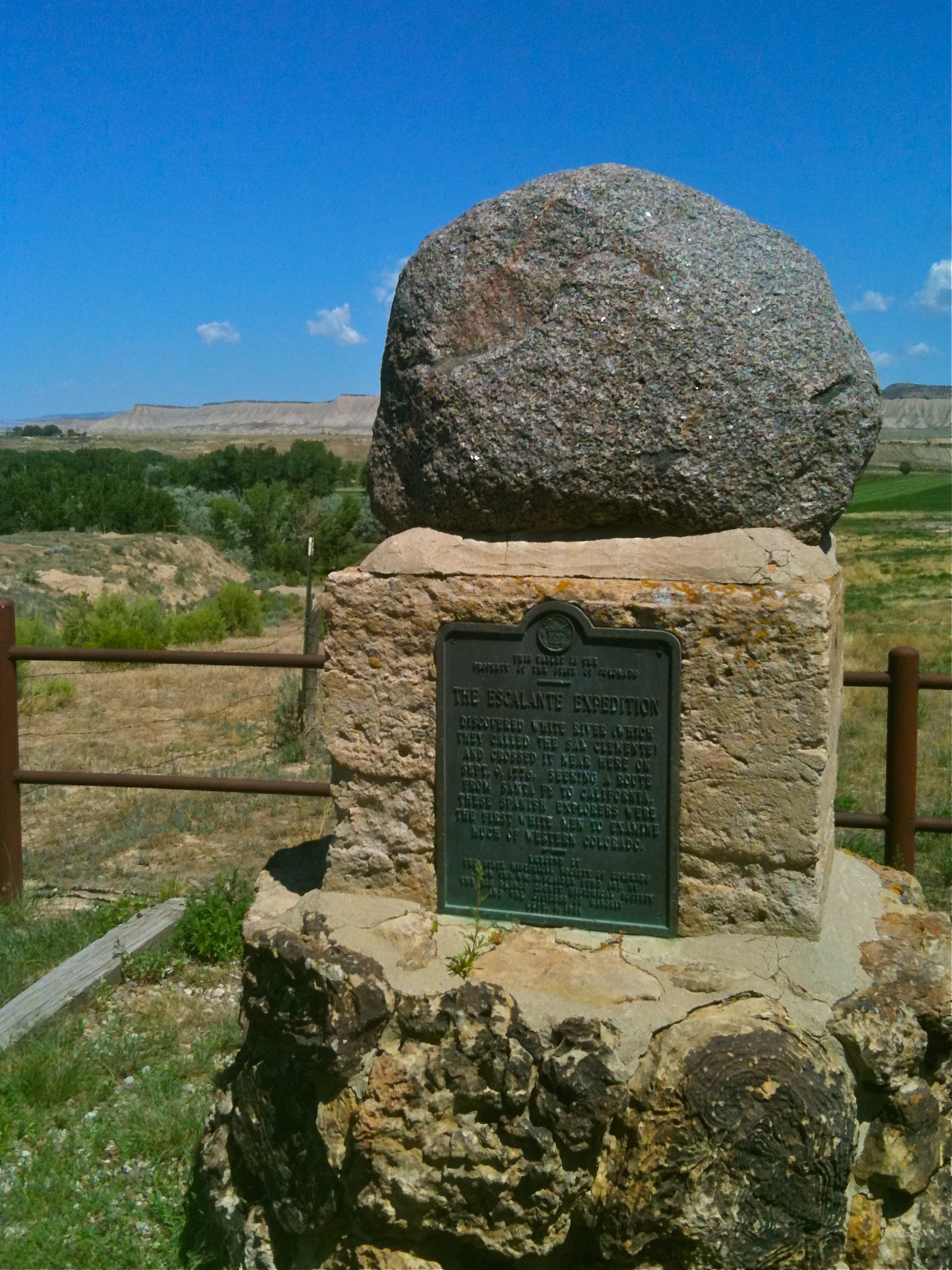
Roadside History & Colorado's Spirit of Exploration
Topographic Map of Rangely, CO, USA
Find elevation by address:

Places in Rangely, CO, USA:
Places near Rangely, CO, USA:
W Main St, Rangely, CO, USA
211 Cottonwood Dr
225 Hillcrest Cir
Bull Canyon
2608 Co Rd 89
Dragon
Dragon
Dragon Rd, Evacuation Creek, UT, USA
Elk Springs
Dinosaur National Monument
Atchee Ridge Rd, North-long Draw/Rainbow, UT, USA
Rainbow
Echo Park Road
Green River Campground
Vernal
Uintah County
Fantasy Canyon
Sound Of Silence Nature Trail
Jensen
US-40, Jensen, UT, USA
Recent Searches:
- Elevation of Corso Fratelli Cairoli, 35, Macerata MC, Italy
- Elevation of Tallevast Rd, Sarasota, FL, USA
- Elevation of 4th St E, Sonoma, CA, USA
- Elevation of Black Hollow Rd, Pennsdale, PA, USA
- Elevation of Oakland Ave, Williamsport, PA, USA
- Elevation of Pedrógão Grande, Portugal
- Elevation of Klee Dr, Martinsburg, WV, USA
- Elevation of Via Roma, Pieranica CR, Italy
- Elevation of Tavkvetili Mountain, Georgia
- Elevation of Hartfords Bluff Cir, Mt Pleasant, SC, USA