Elevation of Dragon, Utah, USA
Location: United States > Utah > Uintah County >
Longitude: -109.07344
Latitude: 39.7858045
Elevation: 1761m / 5778feet
Barometric Pressure: 82KPa
Elevation Map:
Satellite Map:
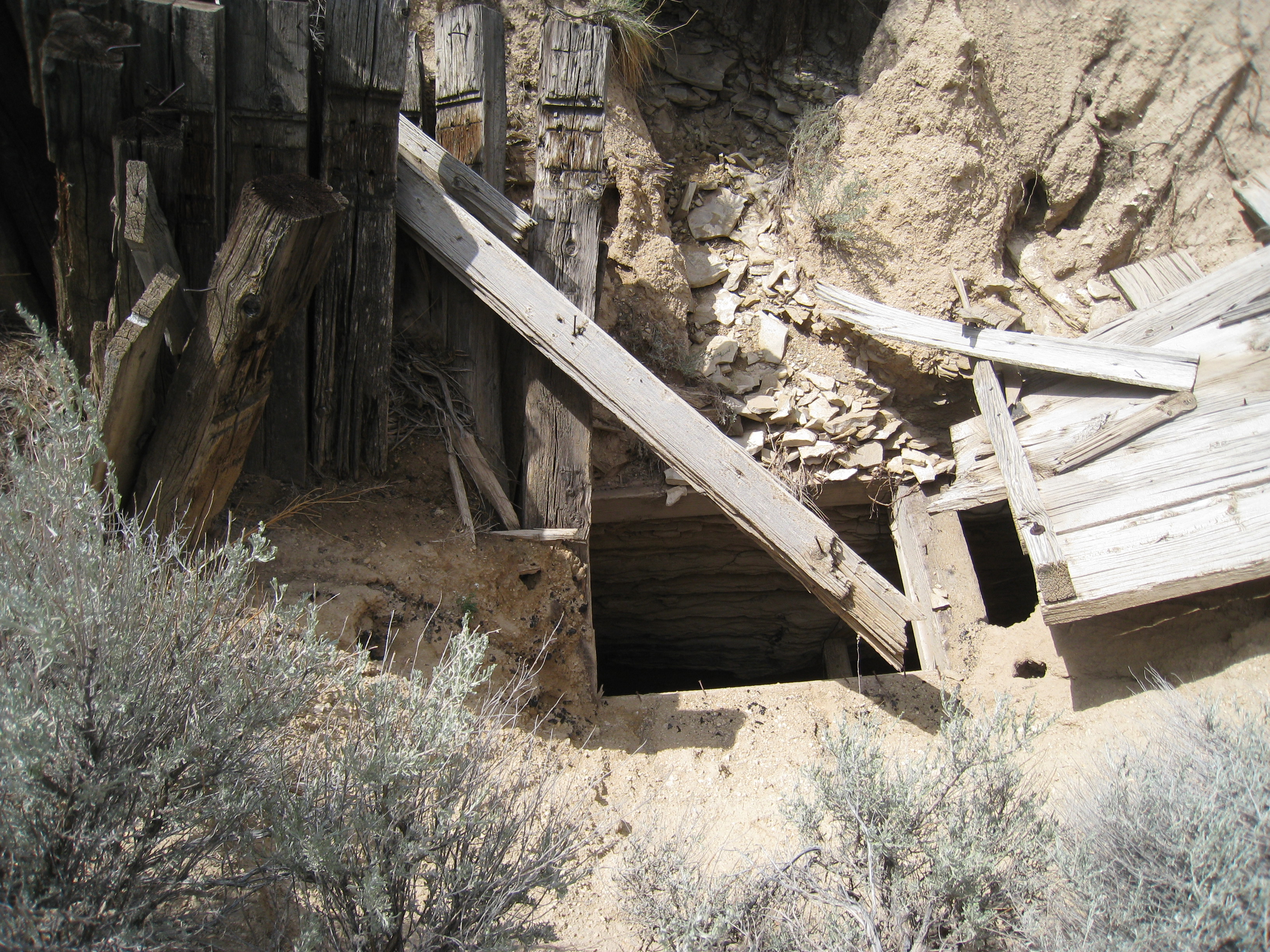
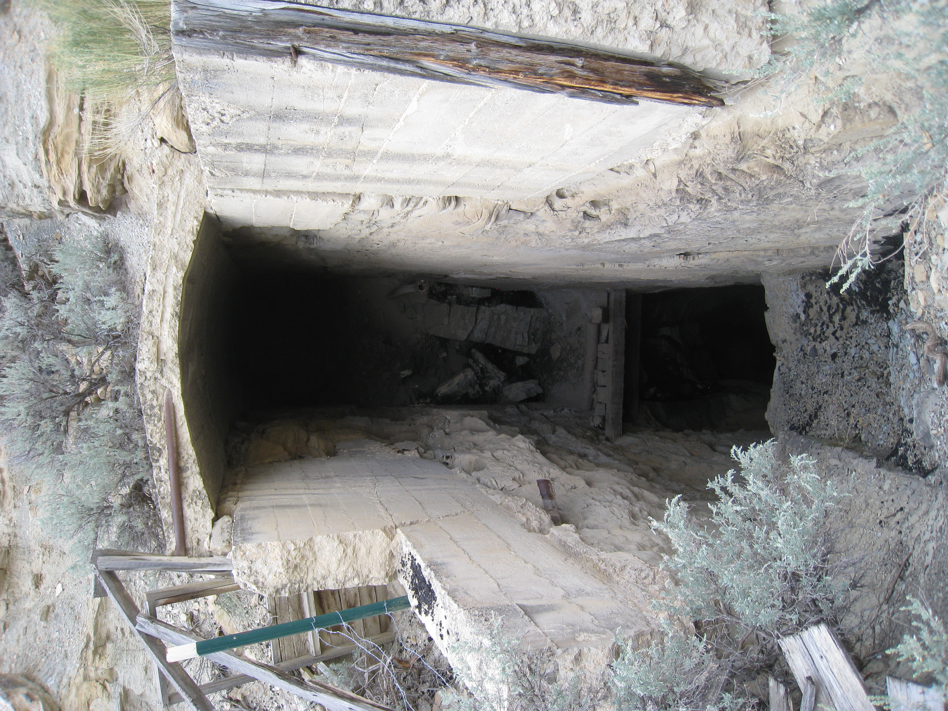
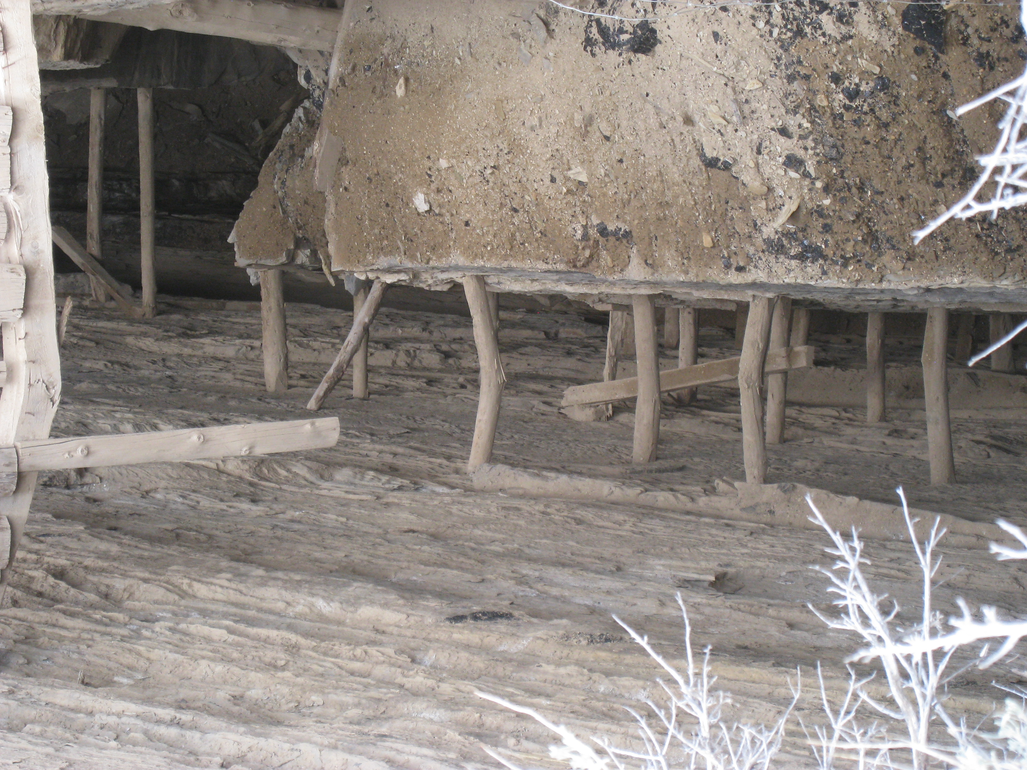
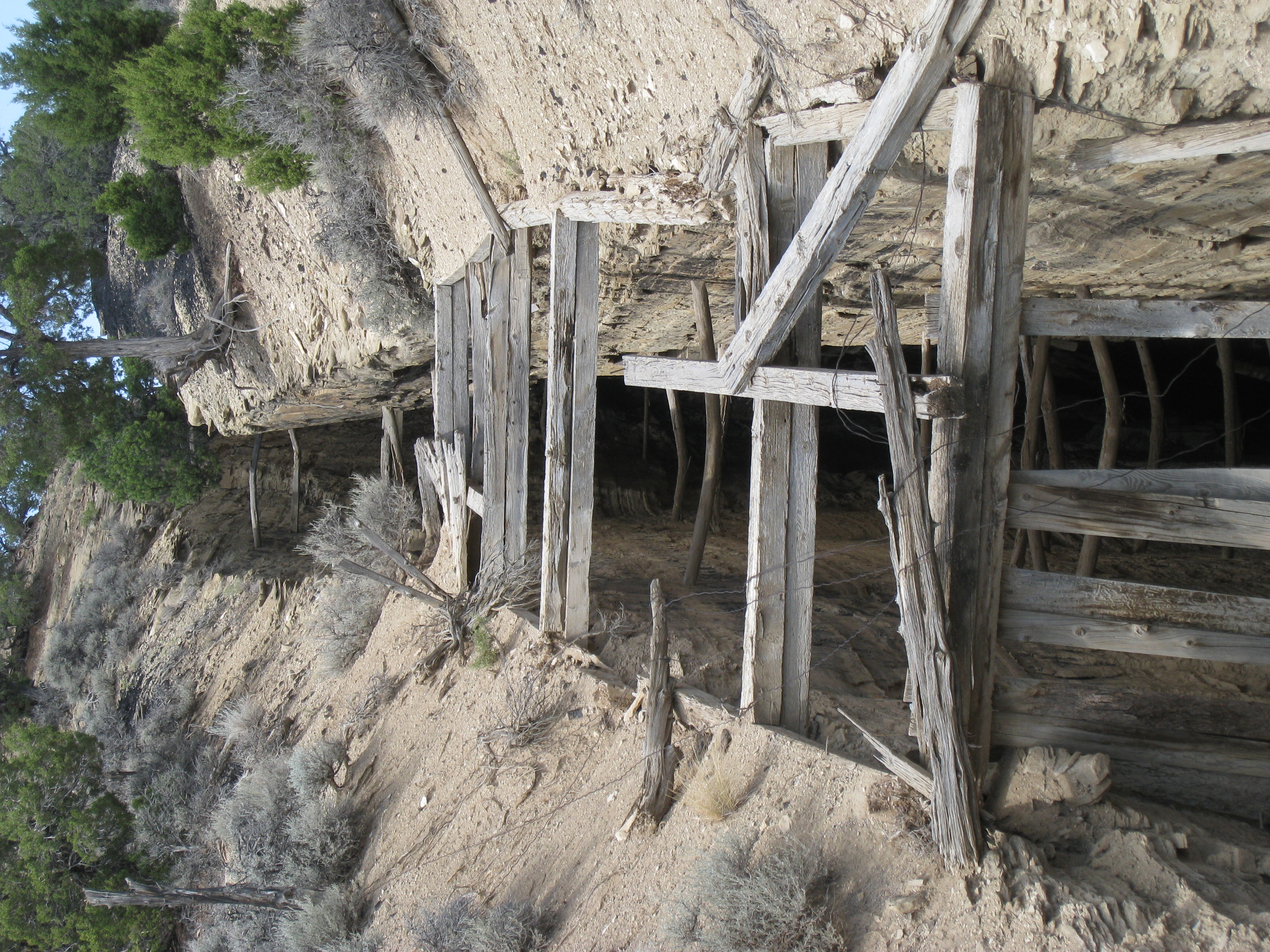
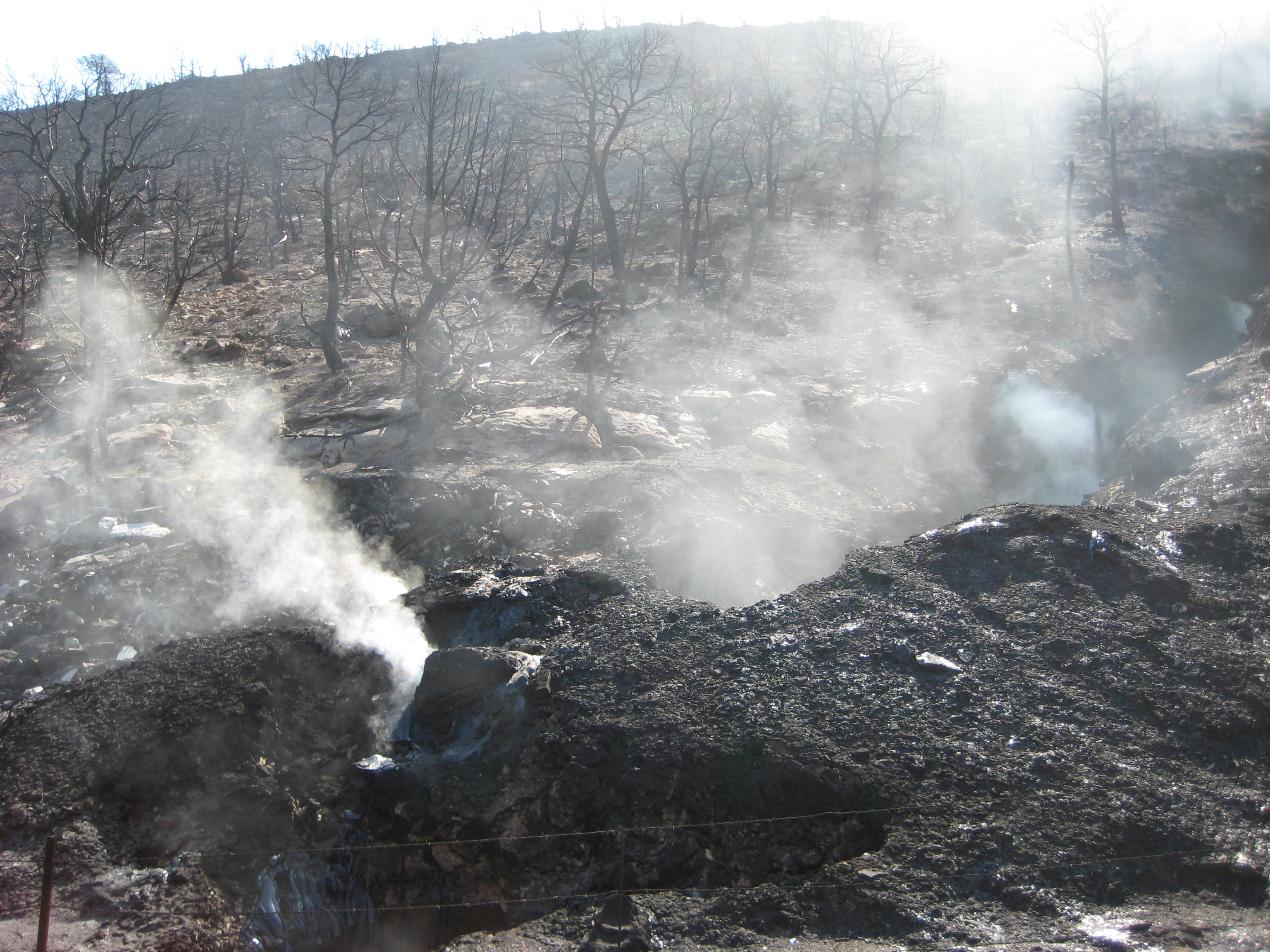
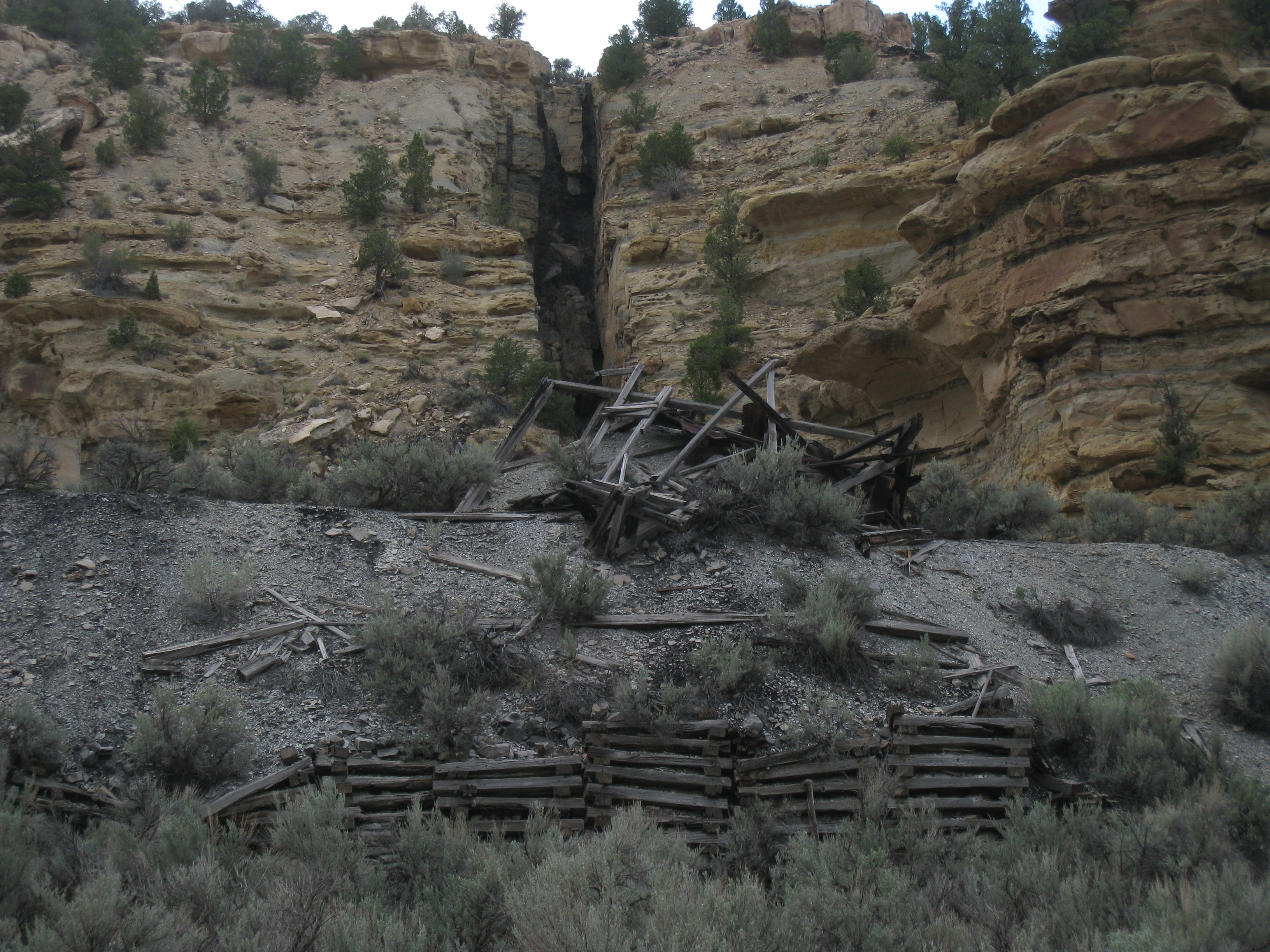
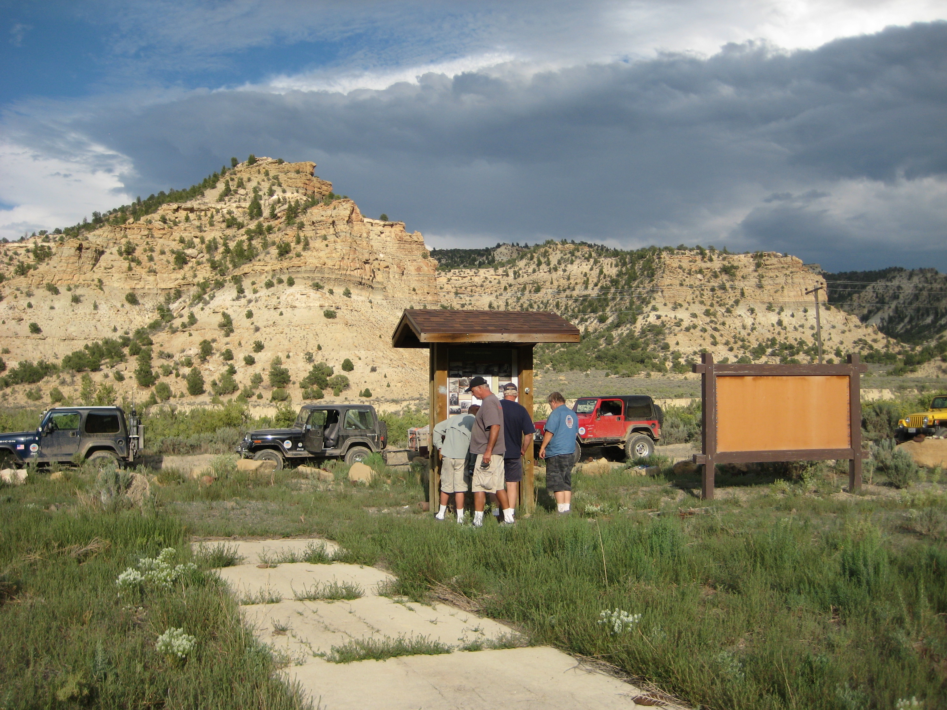
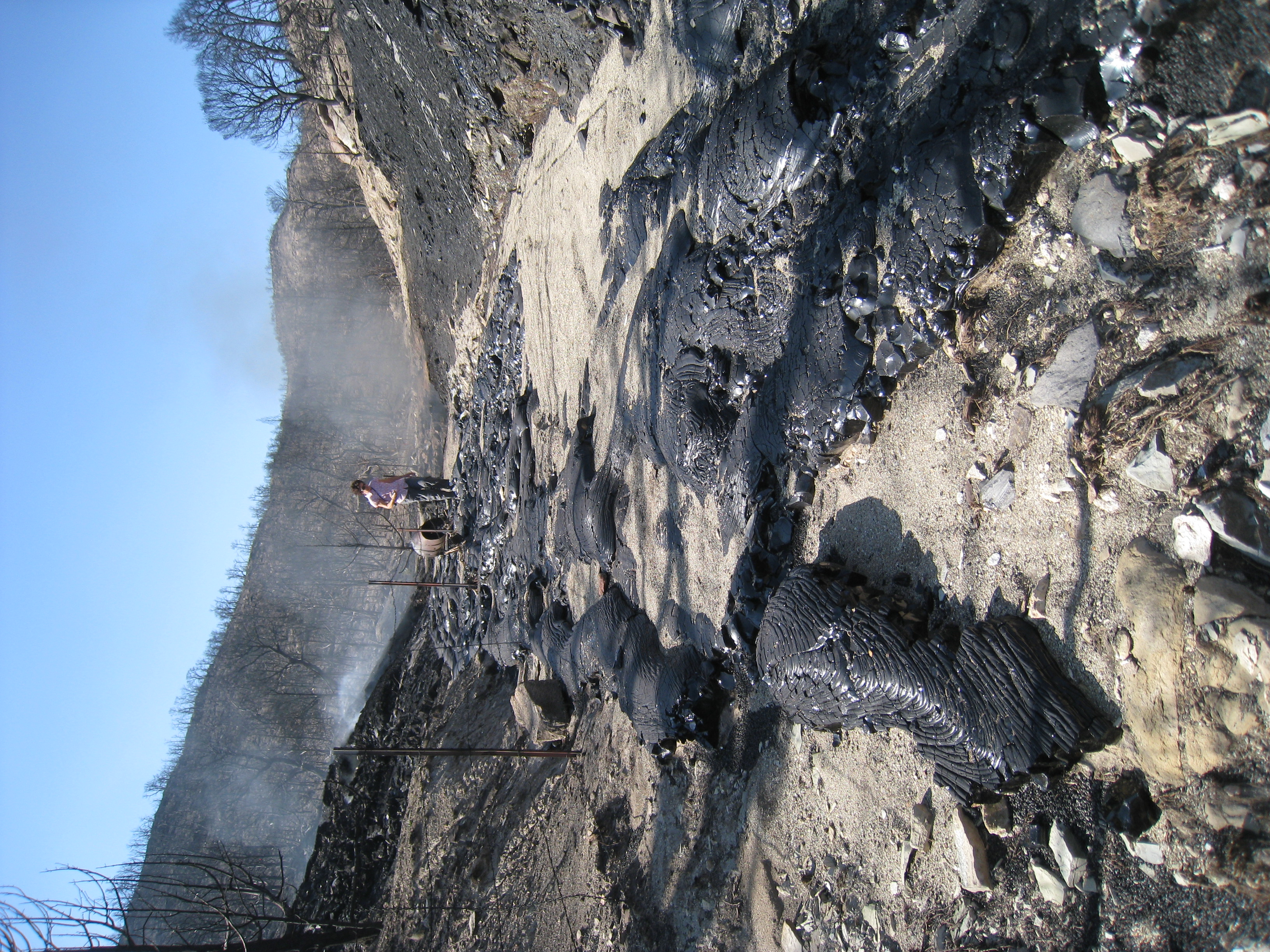
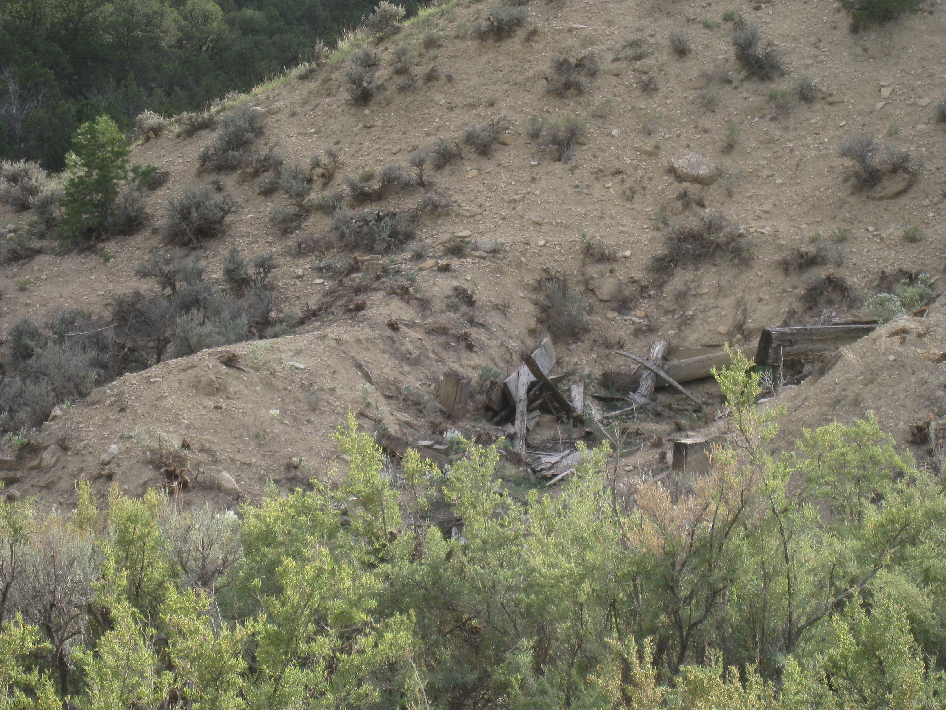
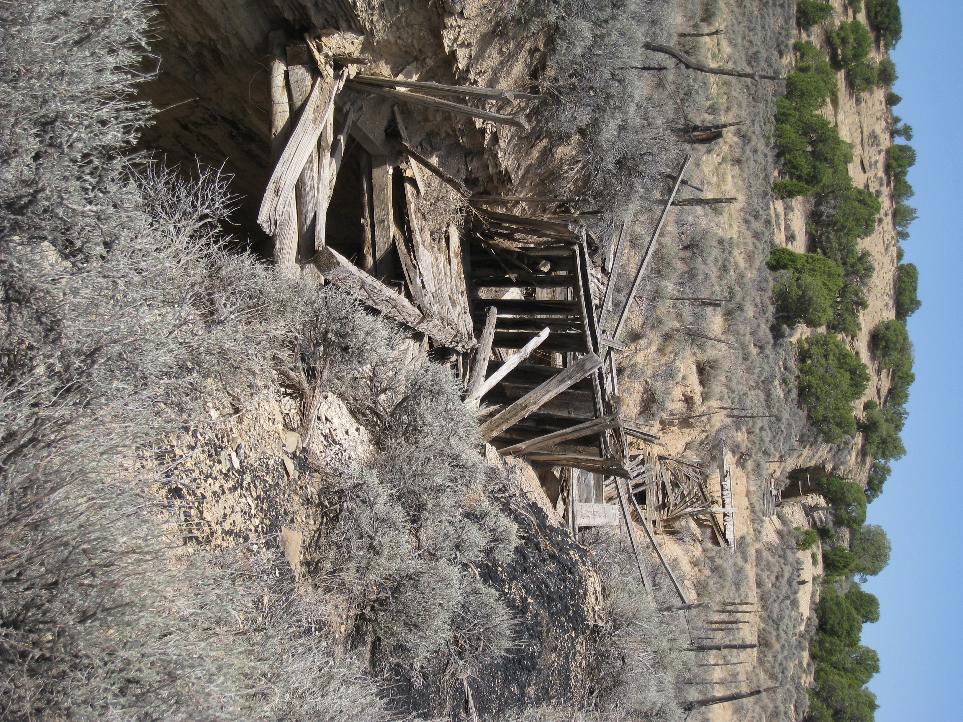
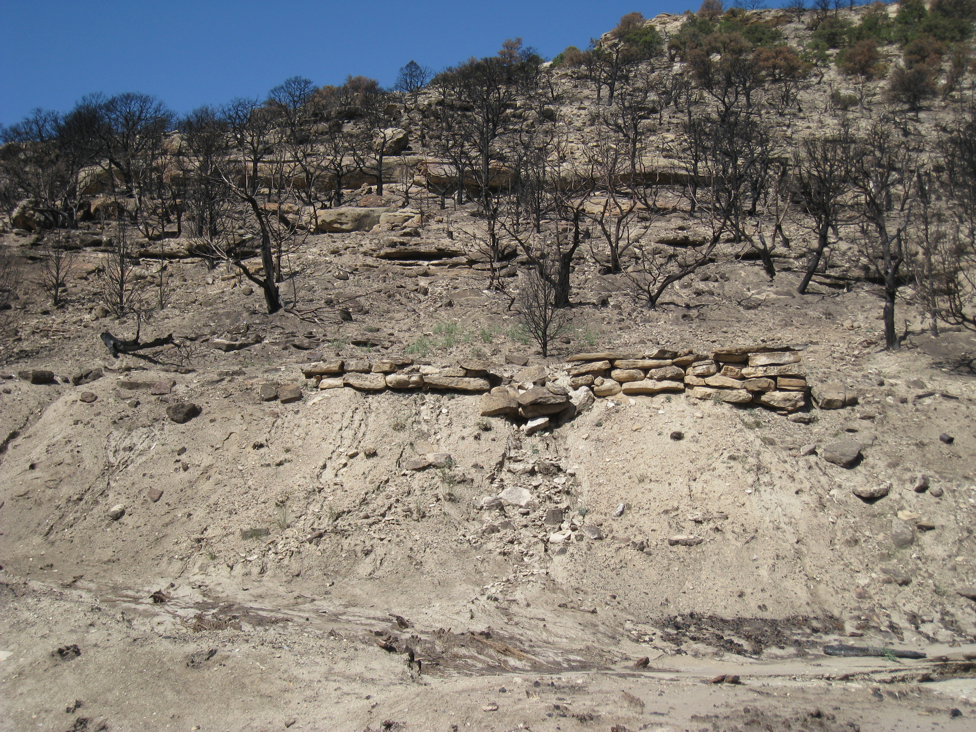
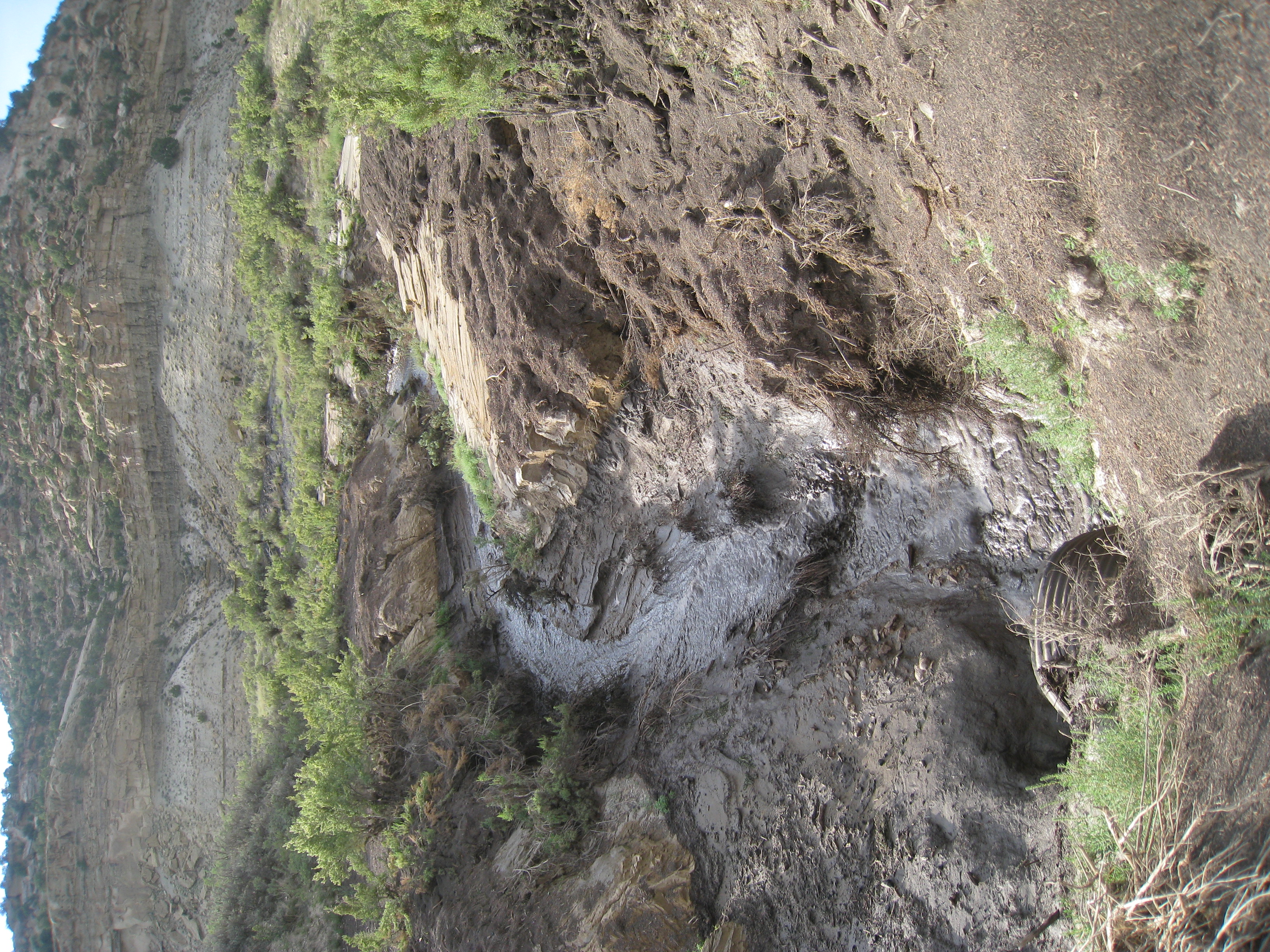
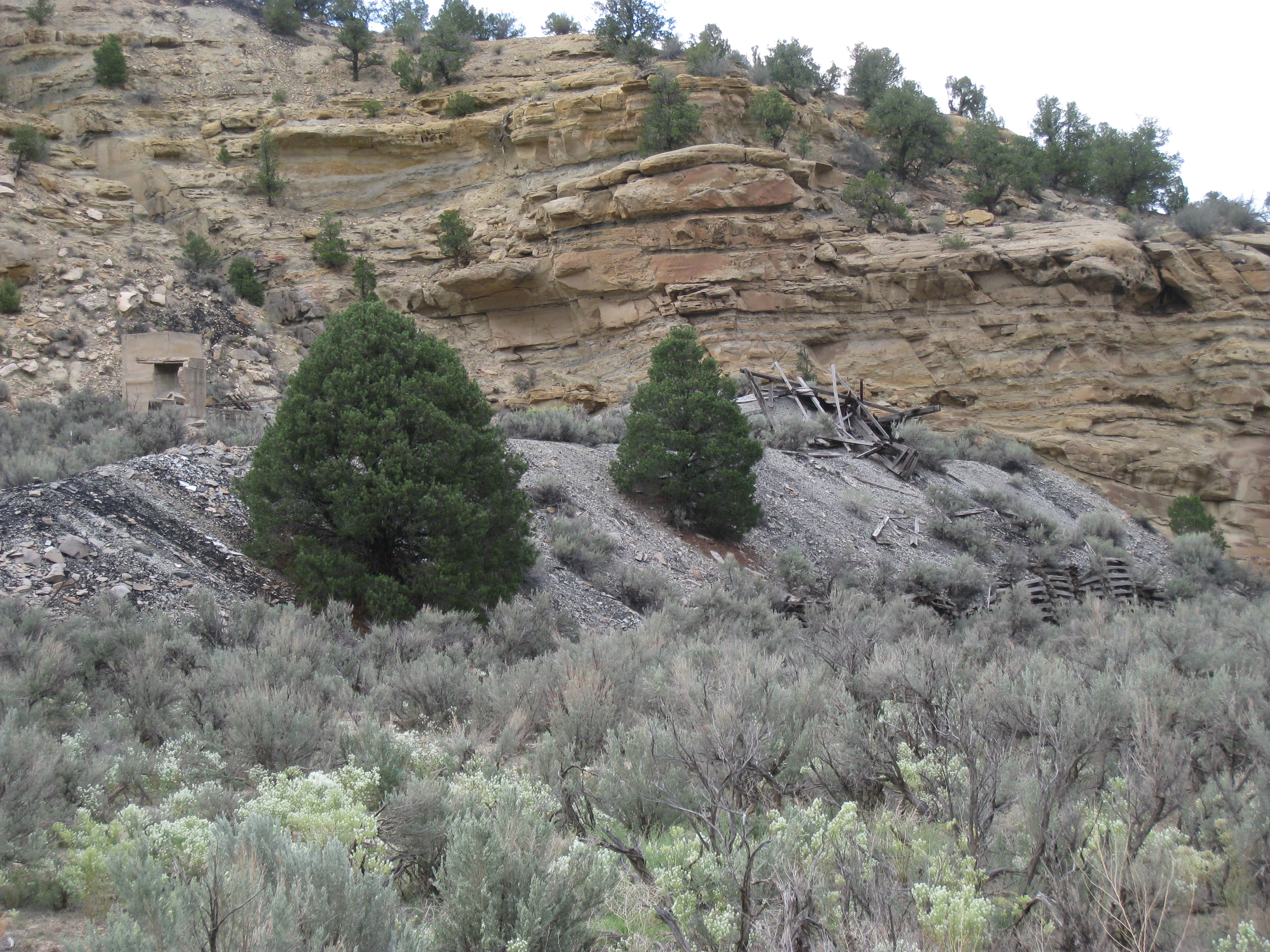
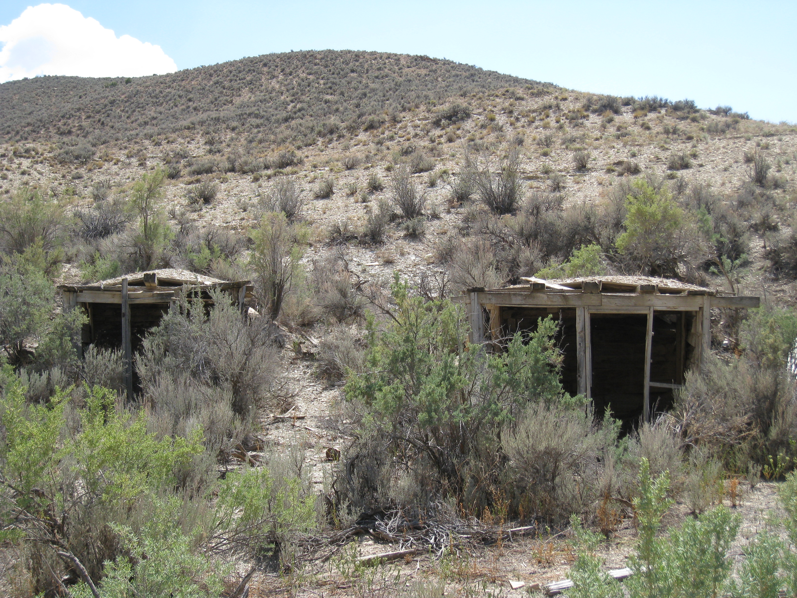
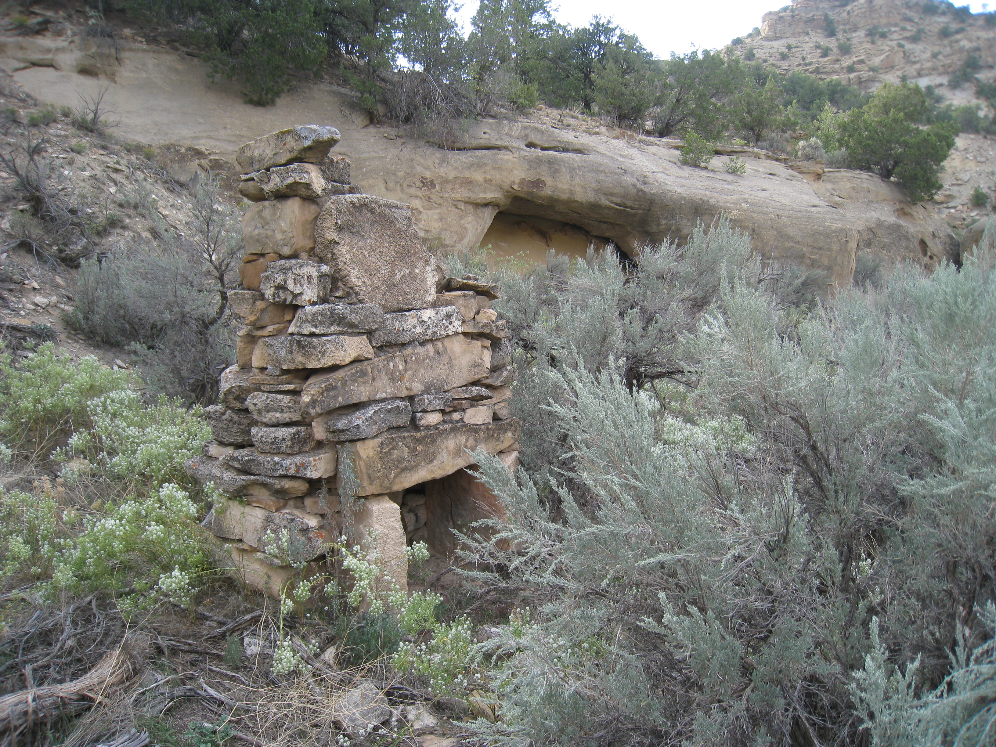
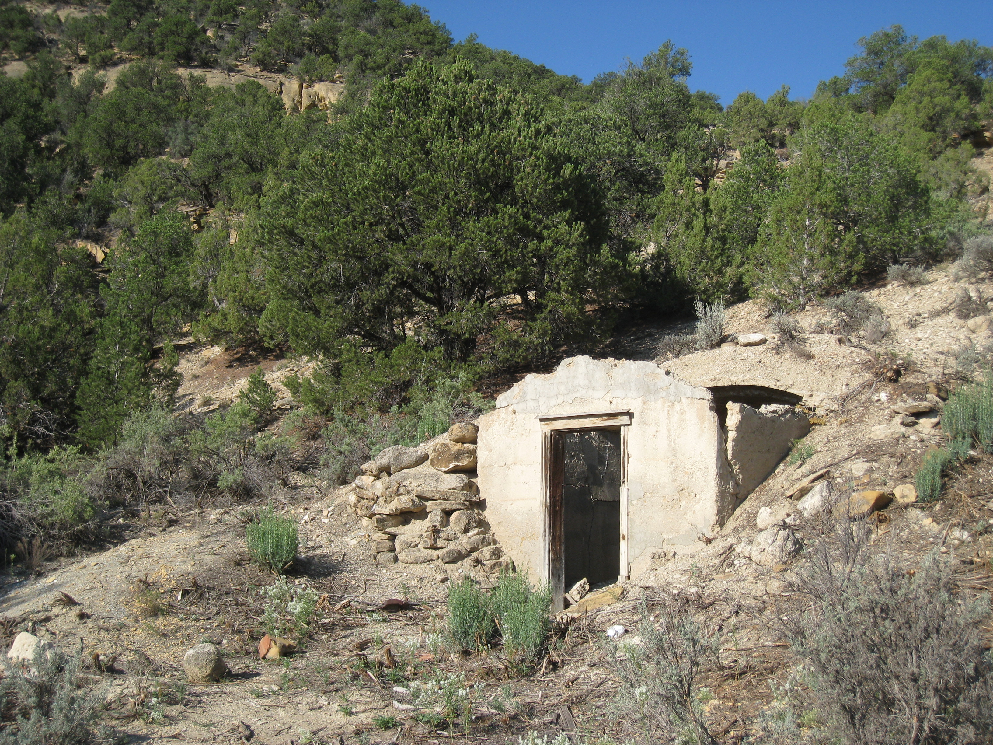
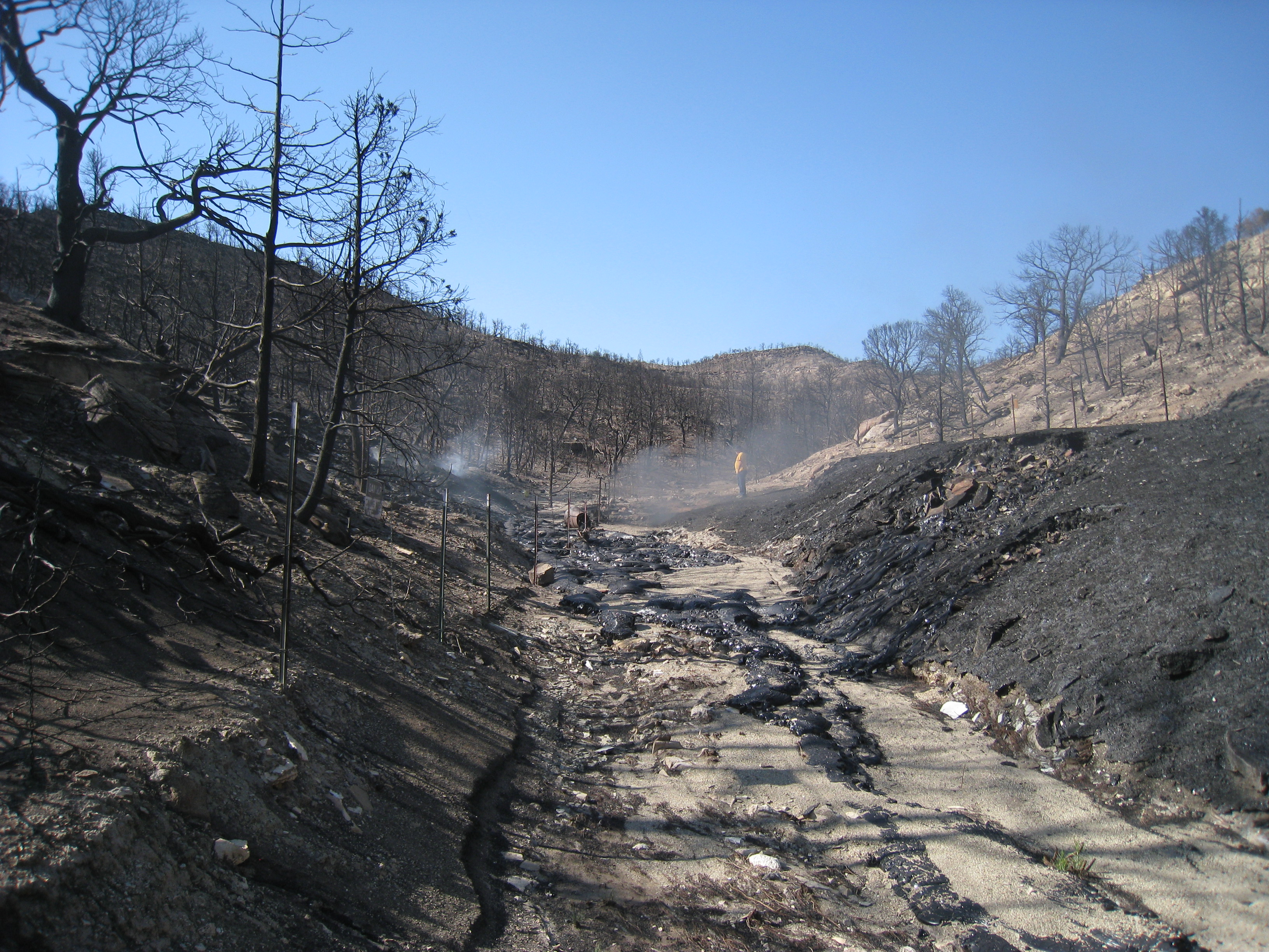
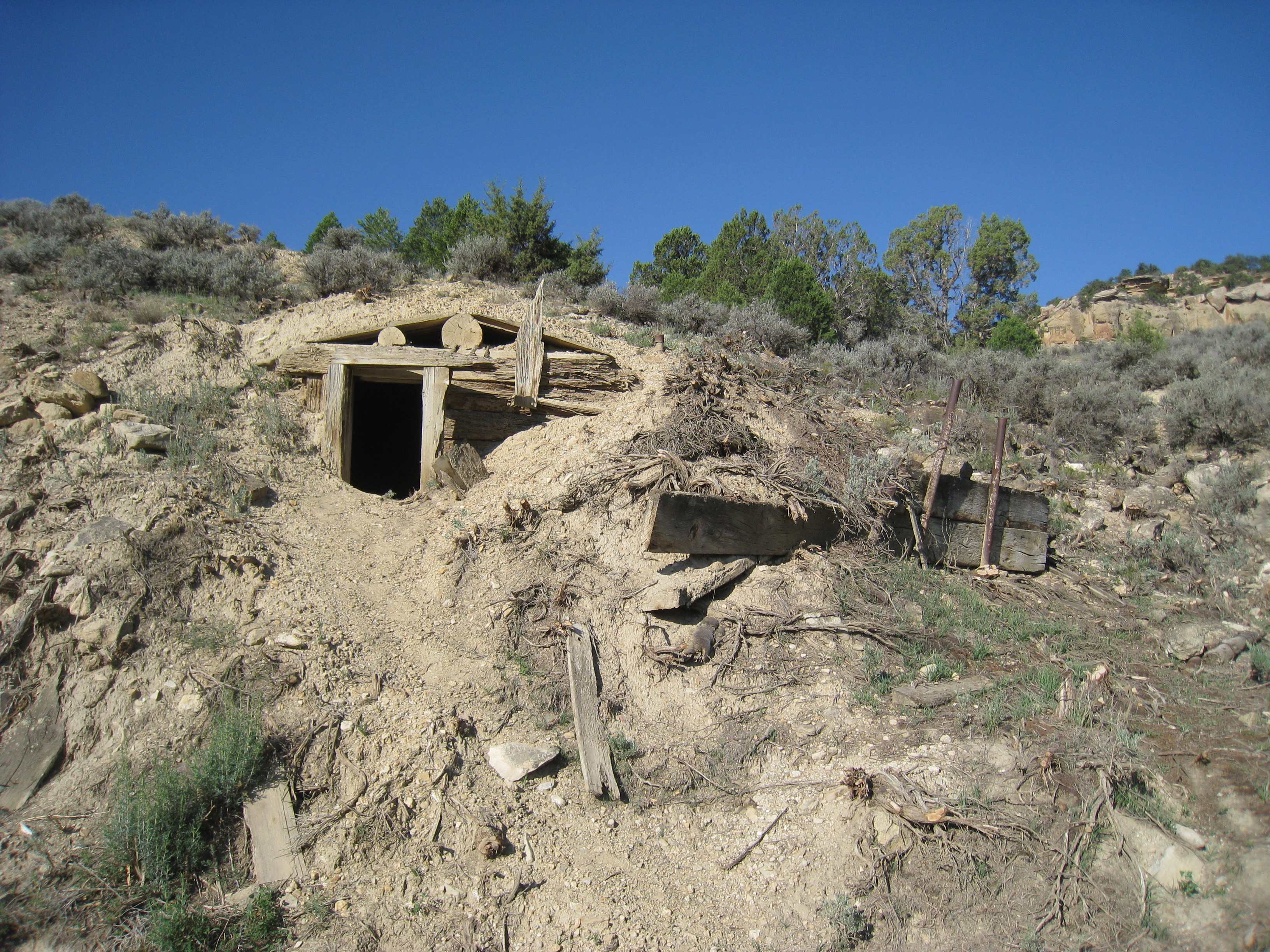
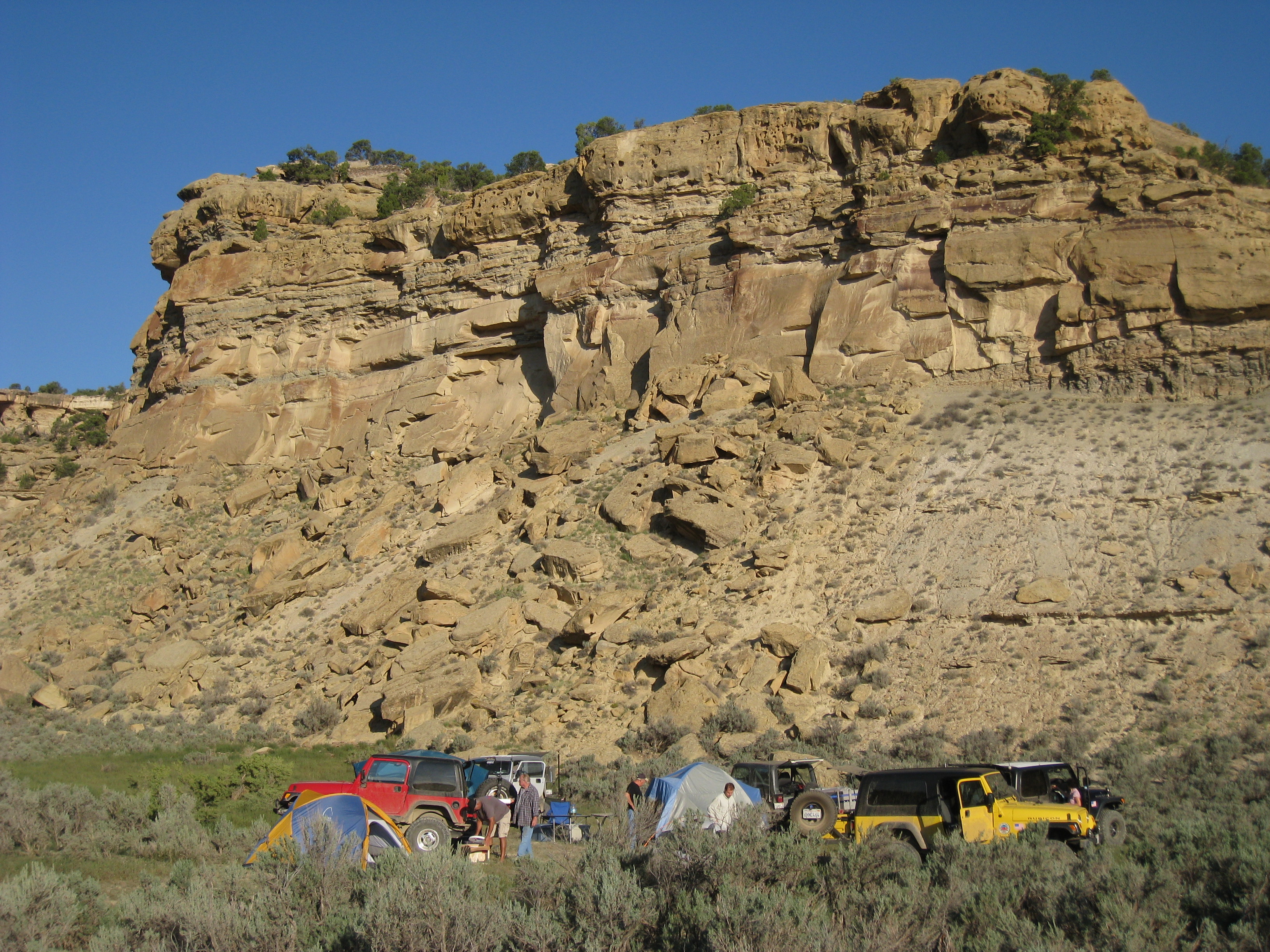
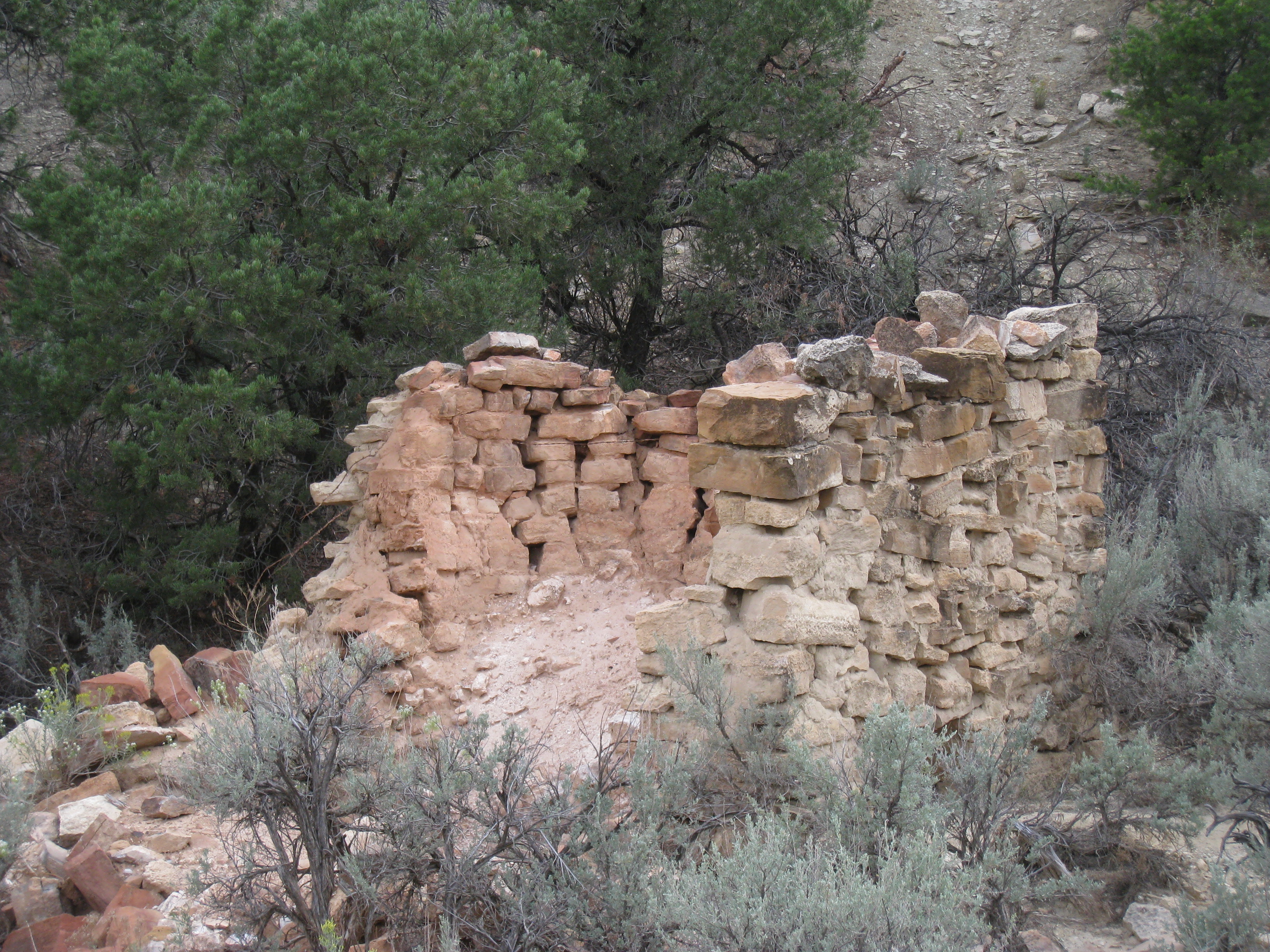
Related Photos:
IMG_5226
IMG_5187
IMG_5232
IMG_5231

IMG_5230
IMG_2344
IMG_5192
IMG_2336
IMG_5212
IMG_5178
IMG_5228
IMG_5214
IMG_5181

IMG_5222
IMG_5190
IMG_5238
IMG_5182
IMG_5199

IMG_5196
IMG_5203
IMG_5201
IMG_5197
IMG_5184

IMG_5183
IMG_5180
IMG_5176
Topographic Map of Dragon, Utah, USA
Find elevation by address:

Places near Dragon, Utah, USA:
Dragon
Dragon Rd, Evacuation Creek, UT, USA
Rainbow
Atchee Ridge Rd, North-long Draw/Rainbow, UT, USA
211 Cottonwood Dr
Rangely
W Main St, Rangely, CO, USA
225 Hillcrest Cir
Fantasy Canyon
Vernal
Uintah County
Jensen
US-40, Jensen, UT, USA
Green River Campground
Branded Rock Canyon
Echo Park Road
Sound Of Silence Nature Trail
Bull Canyon
Dinosaur National Monument
2608 Co Rd 89
Recent Searches:
- Elevation of Corso Fratelli Cairoli, 35, Macerata MC, Italy
- Elevation of Tallevast Rd, Sarasota, FL, USA
- Elevation of 4th St E, Sonoma, CA, USA
- Elevation of Black Hollow Rd, Pennsdale, PA, USA
- Elevation of Oakland Ave, Williamsport, PA, USA
- Elevation of Pedrógão Grande, Portugal
- Elevation of Klee Dr, Martinsburg, WV, USA
- Elevation of Via Roma, Pieranica CR, Italy
- Elevation of Tavkvetili Mountain, Georgia
- Elevation of Hartfords Bluff Cir, Mt Pleasant, SC, USA