Elevation of Rand, CO, USA
Location: United States > Colorado >
Longitude: -106.18141
Latitude: 40.4538703
Elevation: 2629m / 8625feet
Barometric Pressure: 73KPa
Elevation Map:
Satellite Map:
Related Photos:
54/365 - View from the Moose Visitor Center
wtsp-imm-moosevc-1-26-13-tl-1-cropscreen-lowres
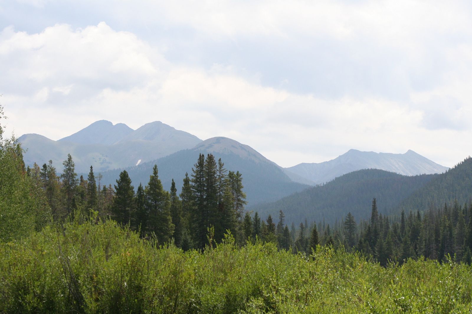
Gould to Rand

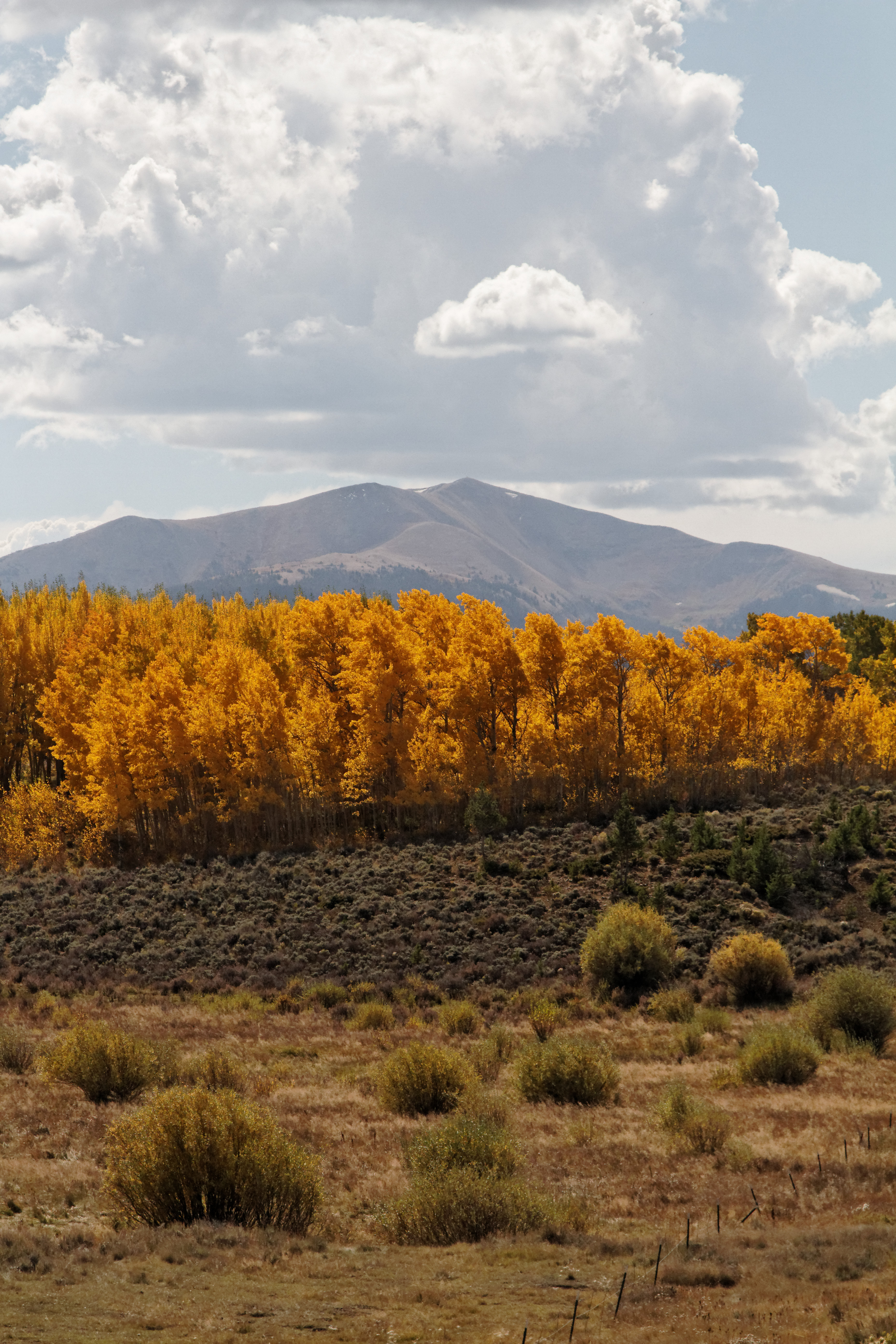
Parkview mountain

Owl Creek Pass

Grand Lake to Willow Creek Pass
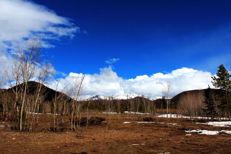
Gould to Rand

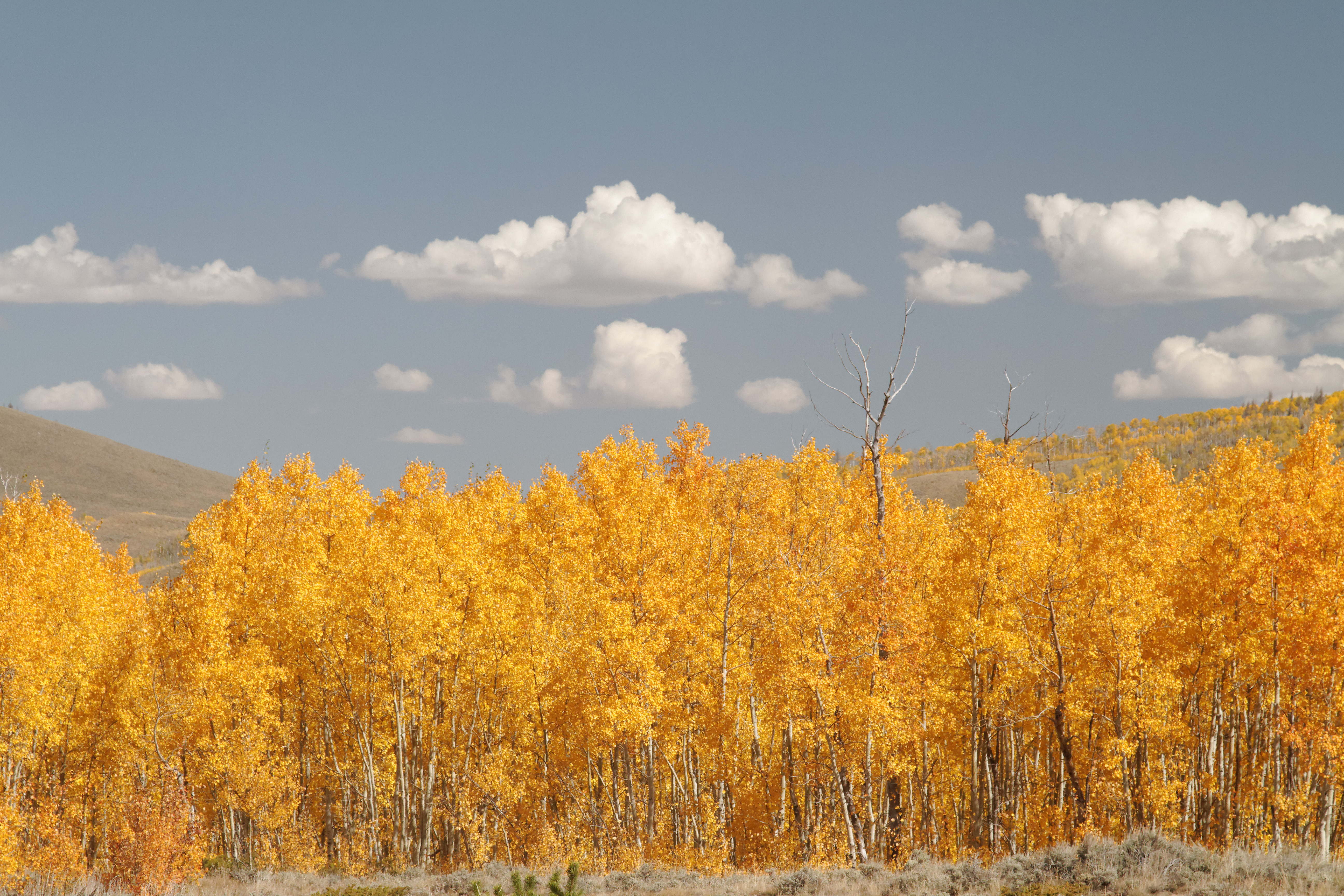
2013-10-09_054_LeafPeeping_sm

Rand to Gould

P1080623 sm Teller City

BCRF_JacksonCO_23Apr2014_PHS-4060

Grand Lake to Willow Creek Pass
Colorado Mountains
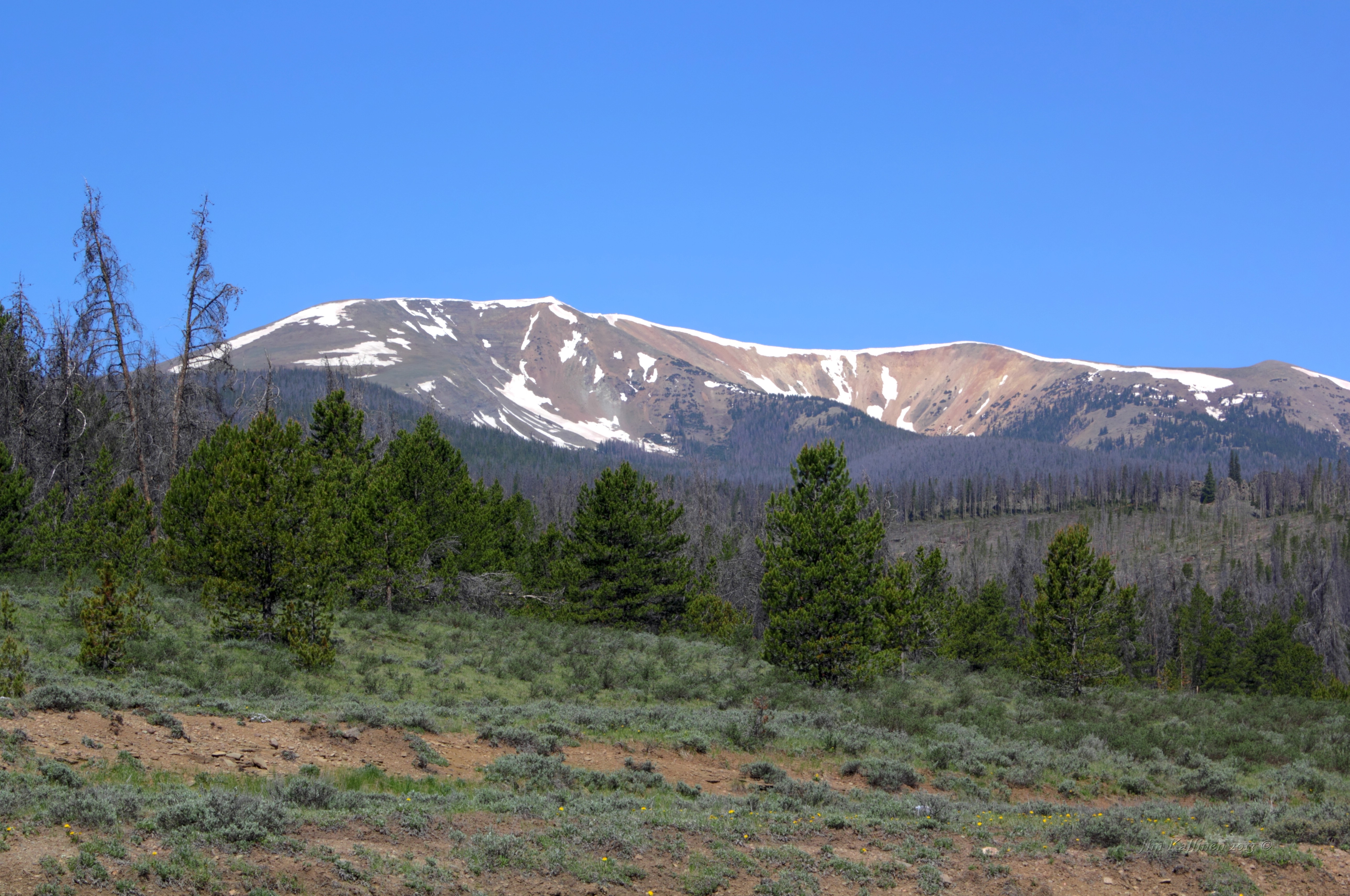
Parkview Mountain,Colorado below Willow Creek pass
Colorado HWY 125 below Willow Creek Pass

Owl Creek Pass, east of Ridgway, CO

P1080620 sm Calamity Pass

P1080624 sm Teller City
Drive-By Photography
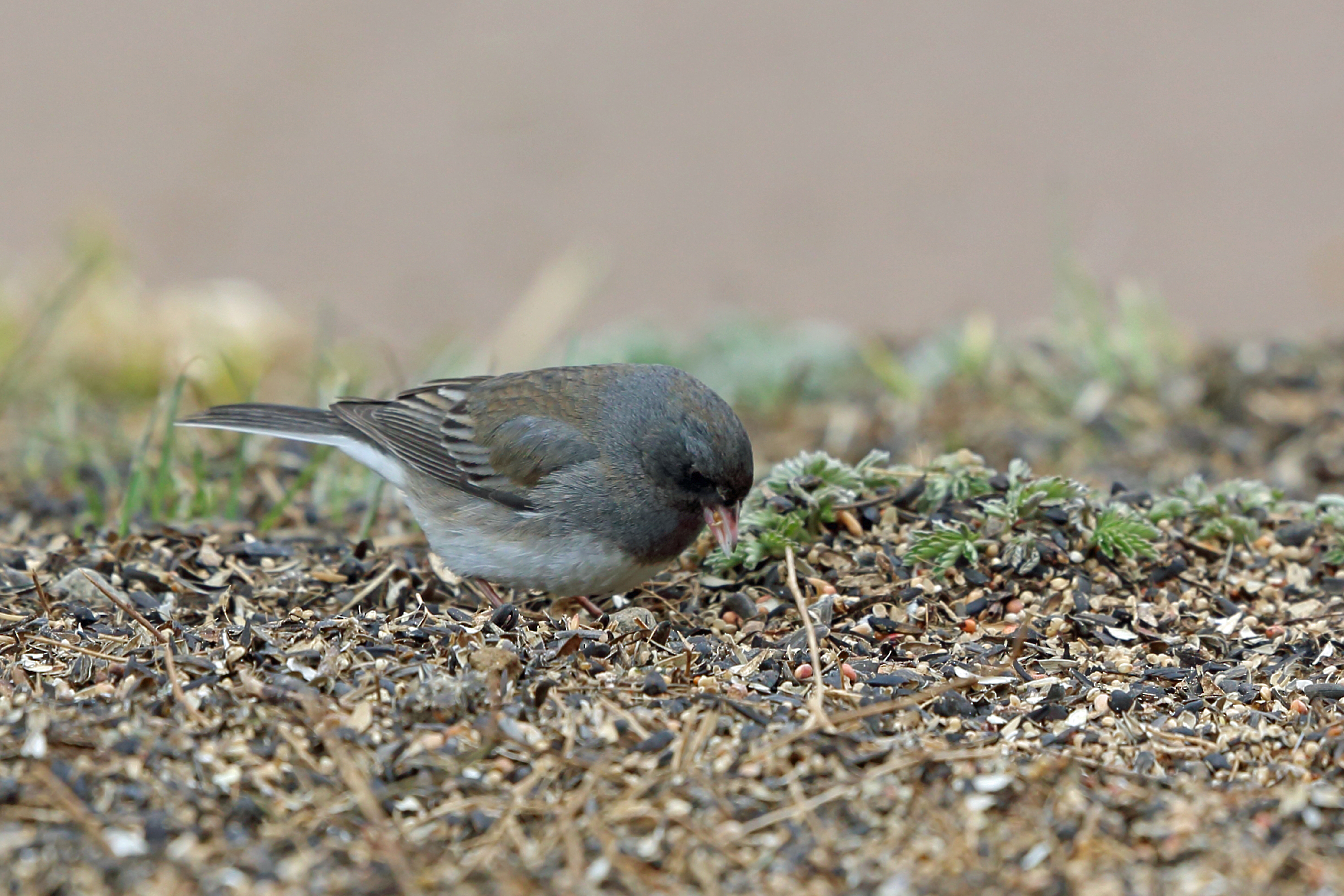
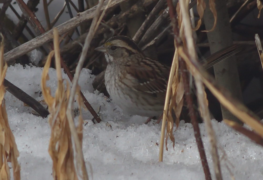
Slate-coloured Junco, Colorado State Forest, Jackson, Colorado
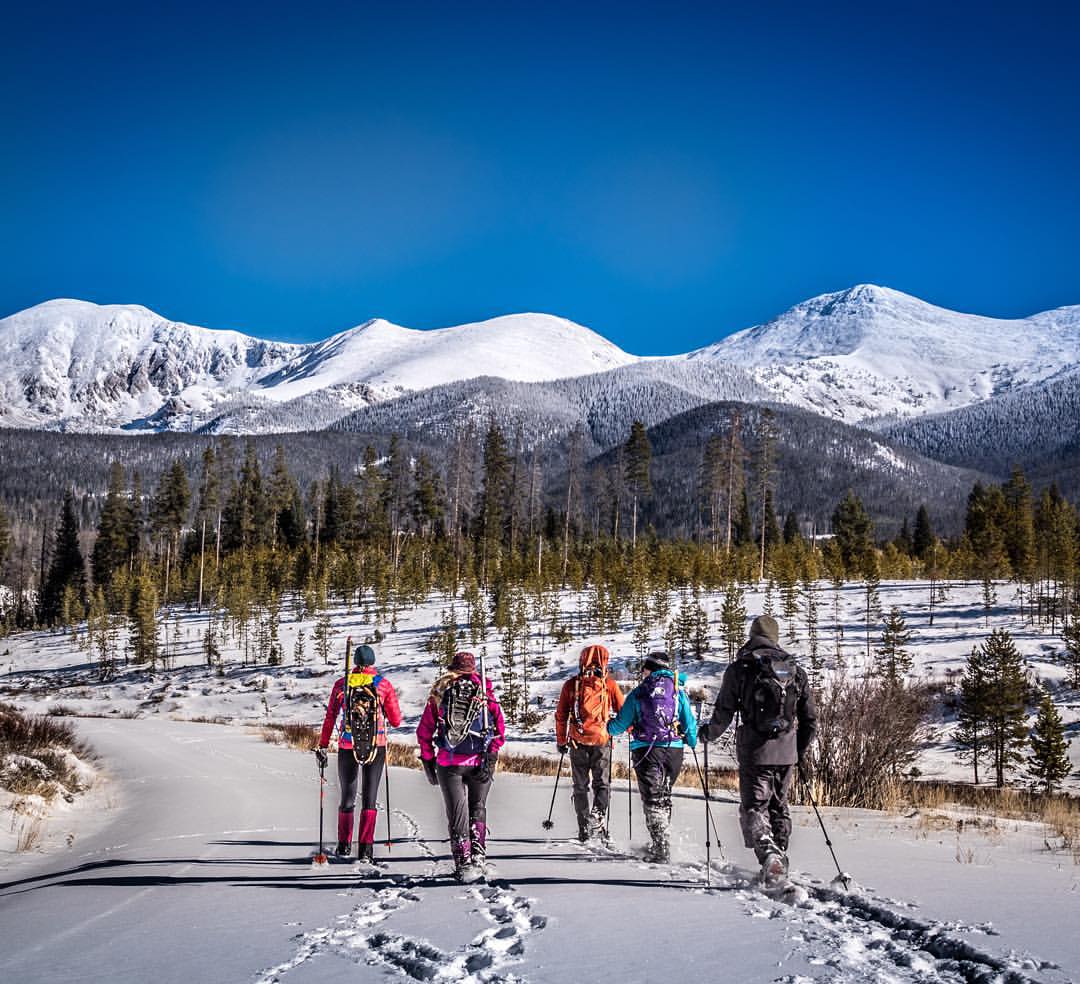
There was really only one way to go. Making fresh snowshoe tracks with a strong tribe at State Forest State Park, #Colorado. #travelstoke
Topographic Map of Rand, CO, USA
Find elevation by address:

Places in Rand, CO, USA:
Places near Rand, CO, USA:
Sheep Mountain
Haystack Mountain
Parkview Mountain
Owl Mountain
Owl Ridge West
Radial Mountain
Hyannis Peak
La Fevre Ridge
53337 Co-14
North Park Campground
Us Frst Service Road 750
Custer Mountain
County Road 21e
Gould Mountain
Johnny Moore Mountain
Bearpaws Peaks South
Little Haystack Mountain
Spicer Peak
Ranger Lakes Campground
Jackson County
Recent Searches:
- Elevation of Corso Fratelli Cairoli, 35, Macerata MC, Italy
- Elevation of Tallevast Rd, Sarasota, FL, USA
- Elevation of 4th St E, Sonoma, CA, USA
- Elevation of Black Hollow Rd, Pennsdale, PA, USA
- Elevation of Oakland Ave, Williamsport, PA, USA
- Elevation of Pedrógão Grande, Portugal
- Elevation of Klee Dr, Martinsburg, WV, USA
- Elevation of Via Roma, Pieranica CR, Italy
- Elevation of Tavkvetili Mountain, Georgia
- Elevation of Hartfords Bluff Cir, Mt Pleasant, SC, USA