Elevation of Radial Mountain, Colorado, USA
Location: United States > Colorado > Rand >
Longitude: -106.05196
Latitude: 40.3597059
Elevation: 3415m / 11204feet
Barometric Pressure: 66KPa
Elevation Map:
Satellite Map:
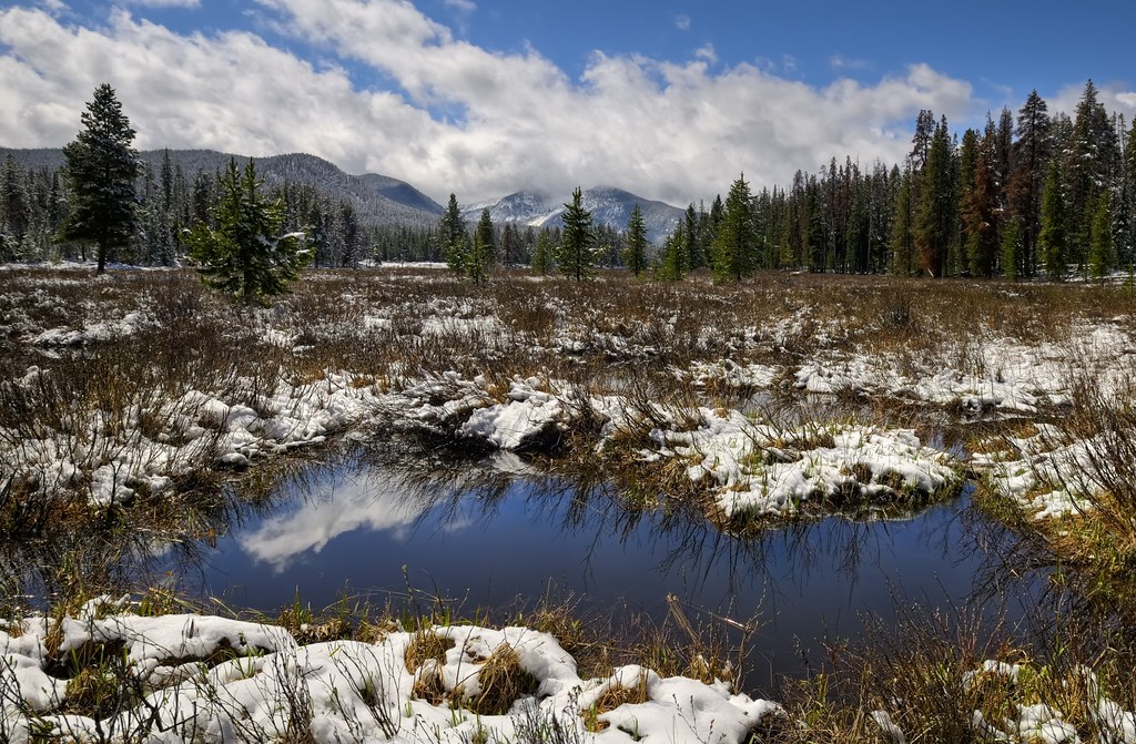
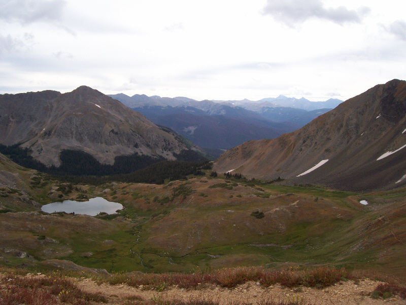
Related Photos:
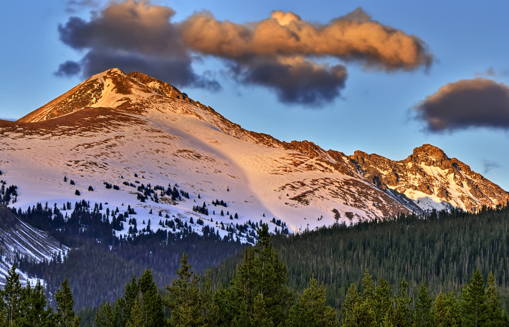
Last Light on the Range
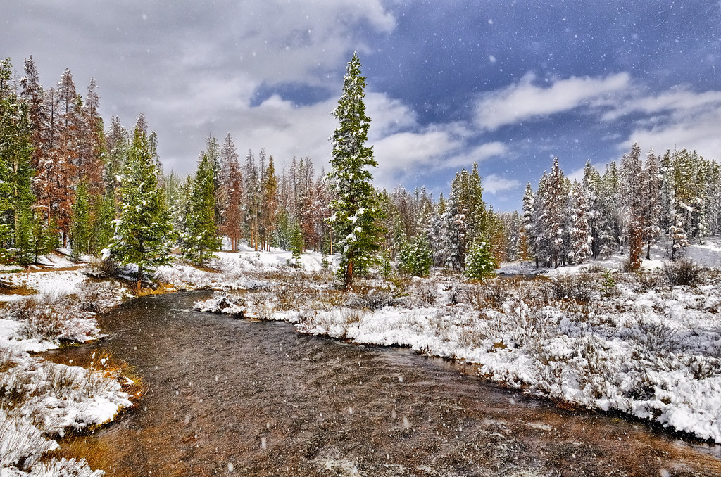
Sunny Snowglobe Spring Scenery

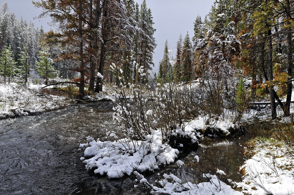
Hot & Cold
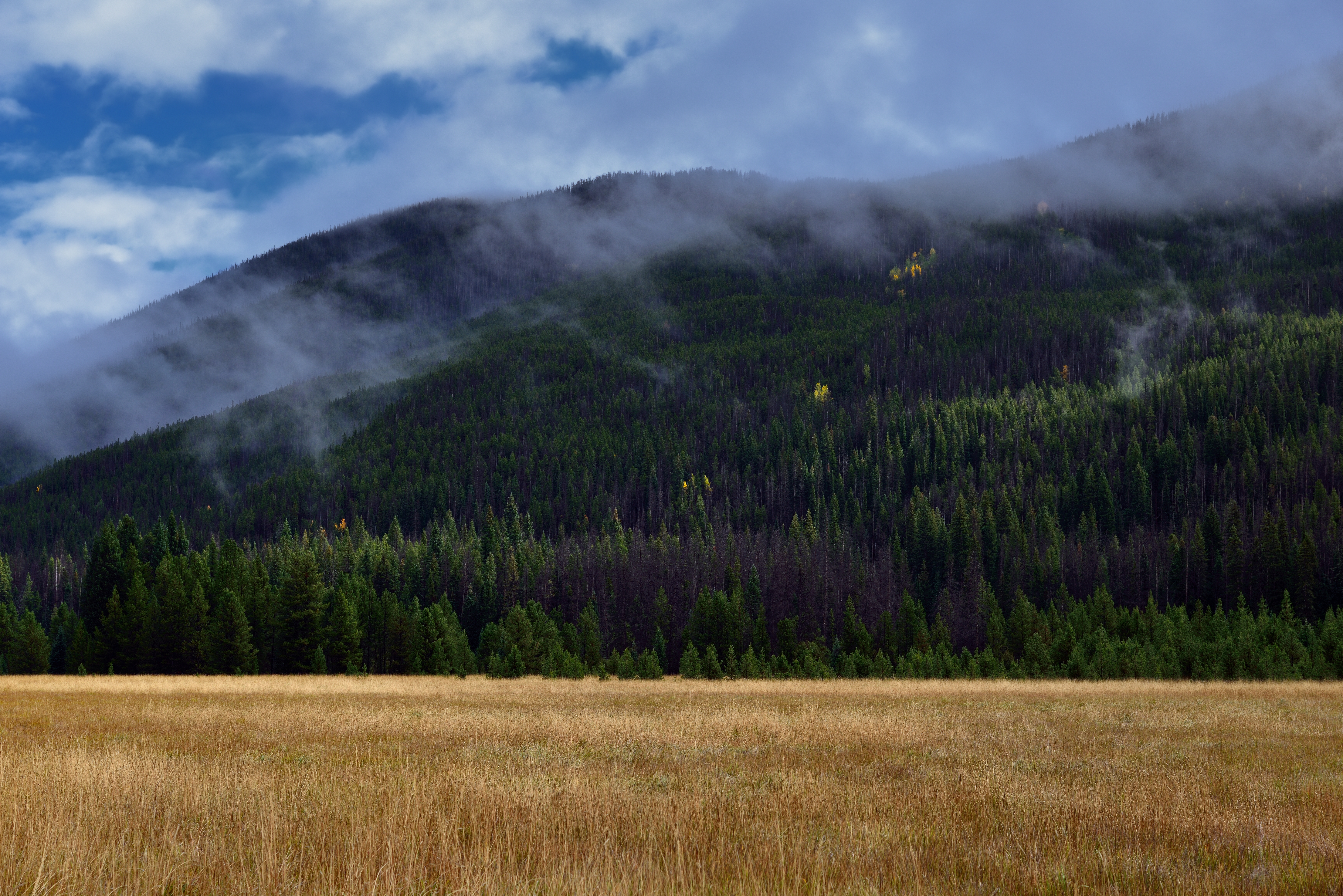
Impermanent Icey Resplendence
A Hillside of Trees on Cascade Mountain (Rocky Mountain National Park)
Lifting June Snow Storm on the Never Summer Range
Never Summer Wilderness
Topographic Map of Radial Mountain, Colorado, USA
Find elevation by address:

Places near Radial Mountain, Colorado, USA:
Us Frst Service Road 750
La Fevre Ridge
County Road 21e
Parkview Mountain
Cascade Mountain
Gravel Mountain
Bearpaws Peaks South
Owl Mountain
Bowen Mountain
Porphyry Peak Southwest
Haystack Mountain
Baker Mountain
Apiatan Mountain
Rand
Ranger Lakes Campground
Howard Mountain
Gould Mountain
5294 Co Rd 41
Mount Mahler
North Park Campground
Recent Searches:
- Elevation of Corso Fratelli Cairoli, 35, Macerata MC, Italy
- Elevation of Tallevast Rd, Sarasota, FL, USA
- Elevation of 4th St E, Sonoma, CA, USA
- Elevation of Black Hollow Rd, Pennsdale, PA, USA
- Elevation of Oakland Ave, Williamsport, PA, USA
- Elevation of Pedrógão Grande, Portugal
- Elevation of Klee Dr, Martinsburg, WV, USA
- Elevation of Via Roma, Pieranica CR, Italy
- Elevation of Tavkvetili Mountain, Georgia
- Elevation of Hartfords Bluff Cir, Mt Pleasant, SC, USA