Elevation of Rancho Verde Road, Rancho Verde Rd, Trinidad, CO, USA

Location: United States > Colorado > Las Animas County > Starkville >

Longitude: -104.51085

Latitude: 37.2143586

Elevation: 1955m / 6414feet

Barometric Pressure: 80KPa

Elevation Map:

elevation map of Rancho Verde Road, Rancho Verde Rd, Trinidad, CO, USA

Satellite Map:

Satellite map of Rancho Verde Road, Rancho Verde Rd, Trinidad, CO, USA

Related Photos:

trees usa mountain forest landscape scenery colorado unitedstates
Scenery on I-25 near Raton Pass, Colorado
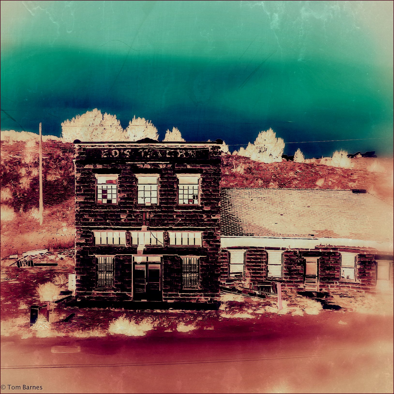
abandoned car bar train colorado view lounge july amtrak tavern starkville southwestchief 2011 edstavern
Ed's
sculpture architecture colorado decoration bestviewedlarge carving architectural gargoyle fantasy trinidad limestone nightmare creature whimsical urbanfragment firstnationalbank nightmareinthesky
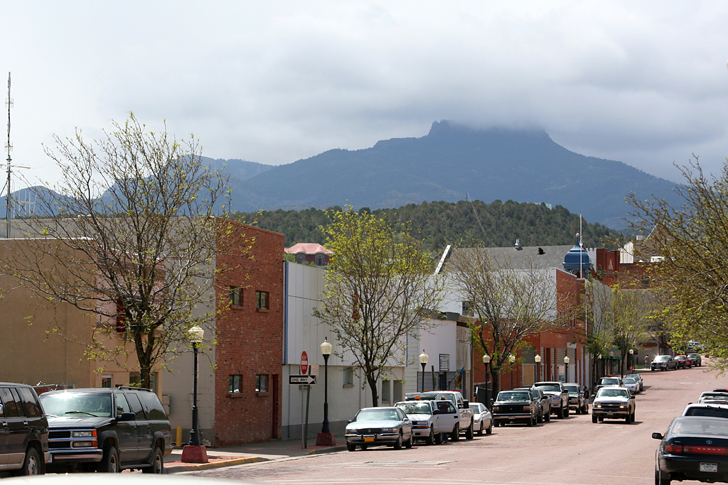
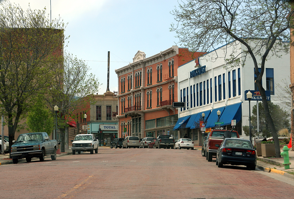
Trinidad, Colorado Gargoyles
mountains river spring colorado bluesky co cokedale fisherspeak
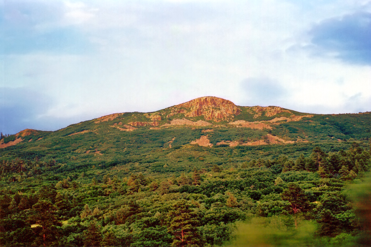
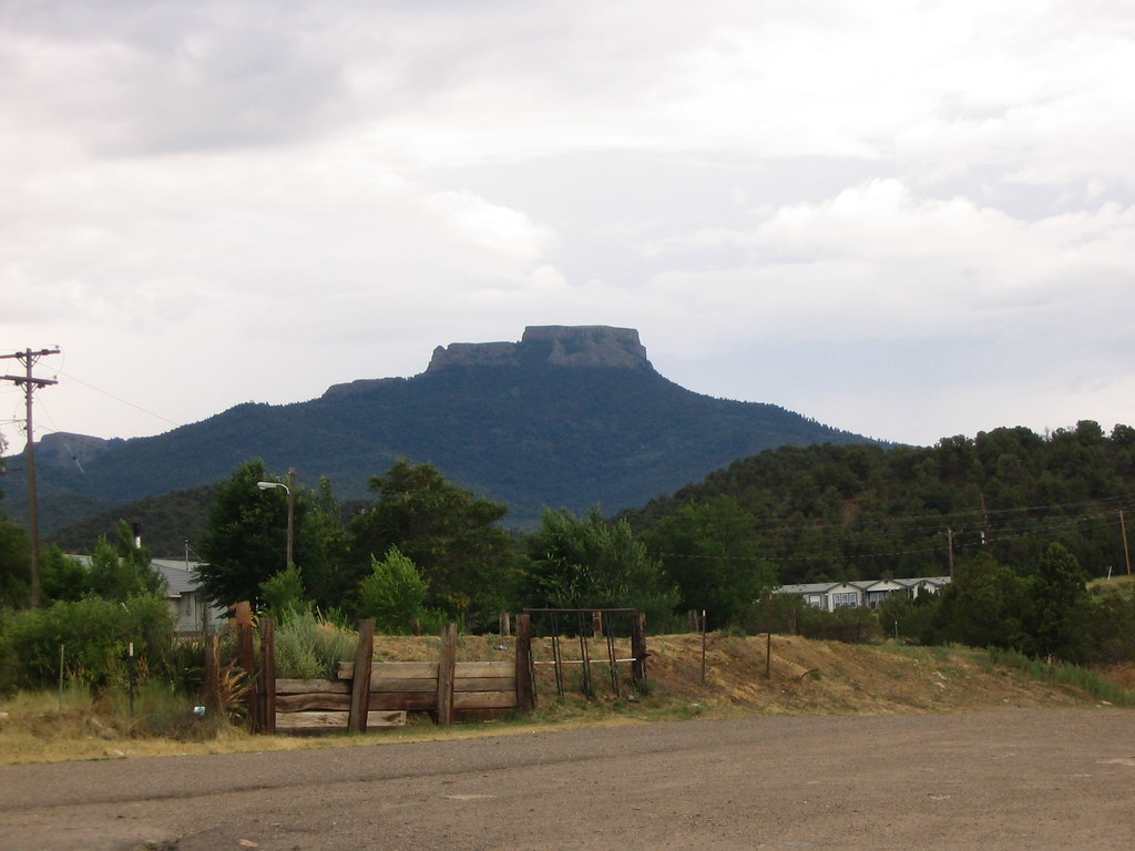
Fisher's Peak from Cokedale, Colorado
ranch trees usa west tree rock america geotagged centennial us colorado unitedstates state eagle united unitedstatesofamerica peak american trinidad western co states floyd muaddib fishers americanwest pinon eaglerock pinyon ranches westernusa trinidadcolorado pinyons pinons trinidadco fisherspeak centennialstate westernamerica floydmuaddib
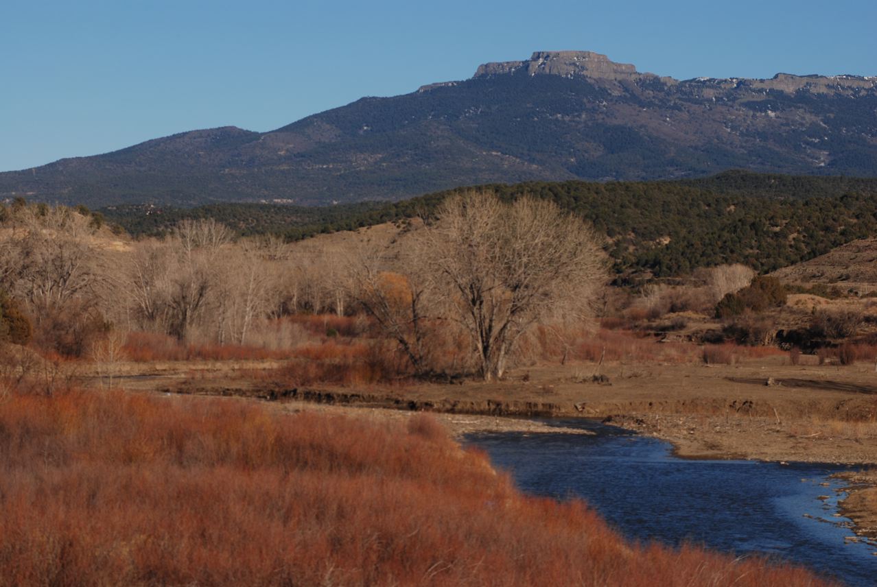
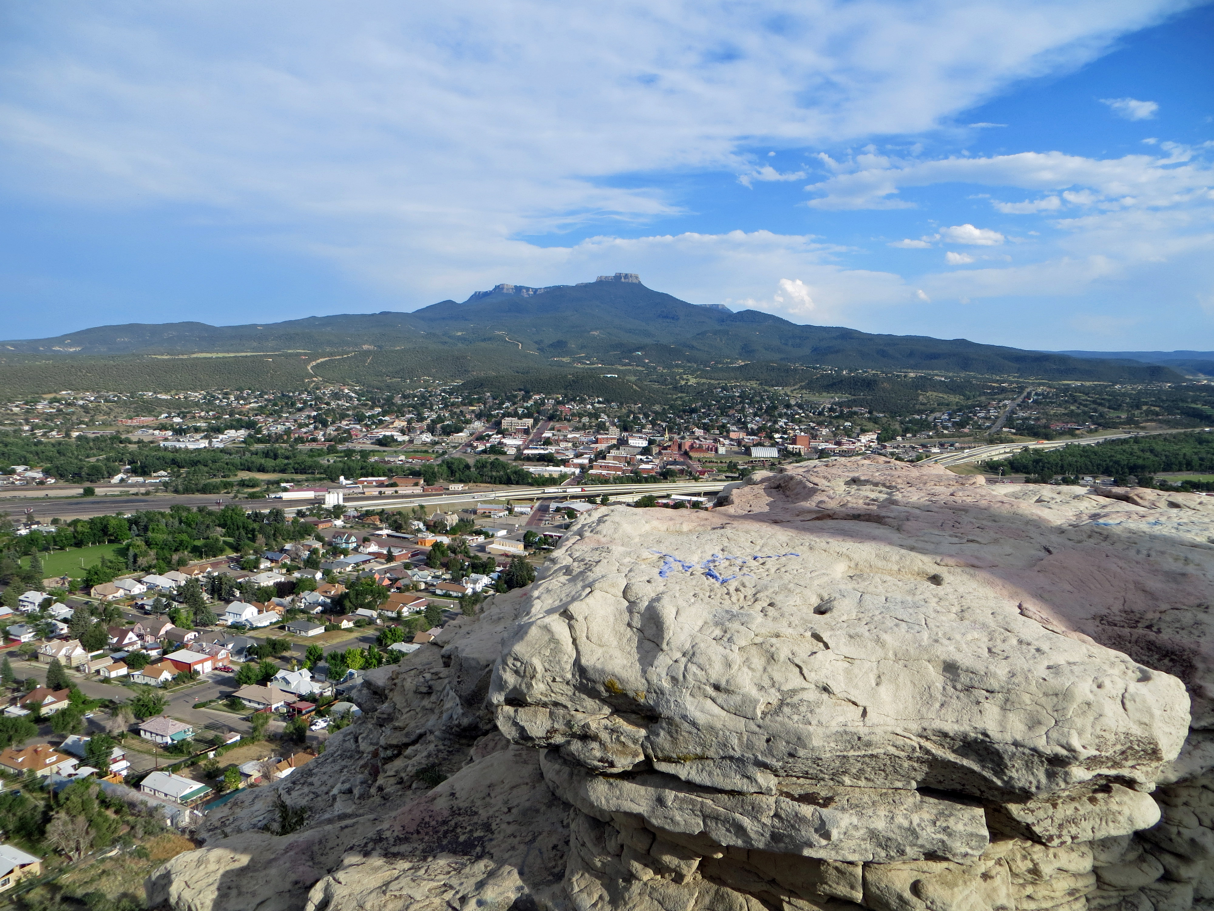
Fisher's Peak and Eagle Rock: Trinidad, Colorado (CO)
road clouds colorado downtown streetscene trinidad mesa fisherspeak
day7-4
dinosaurs extinction asteroid tertiary ktboundary kpboundary geologypaleontologychicxulubcratercretaceouspaleogene
K-T_Boundary008
dinosaurs extinction asteroid tertiary ktboundary kpboundary geologypaleontologychicxulubcratercretaceouspaleogene
K-T_Boundary053
dinosaurs extinction asteroid tertiary ktboundary kpboundary geologypaleontologychicxulubcratercretaceouspaleogene
K-T_Boundary058
road colorado downtown streetscene trinidad throughthewindshield
day7-5
trip colorado trinidad junebug simpsonsrest
Simpson's Rest View
road colorado downtown streetscene trinidad
day7-3
aznmco0617 colorado mining
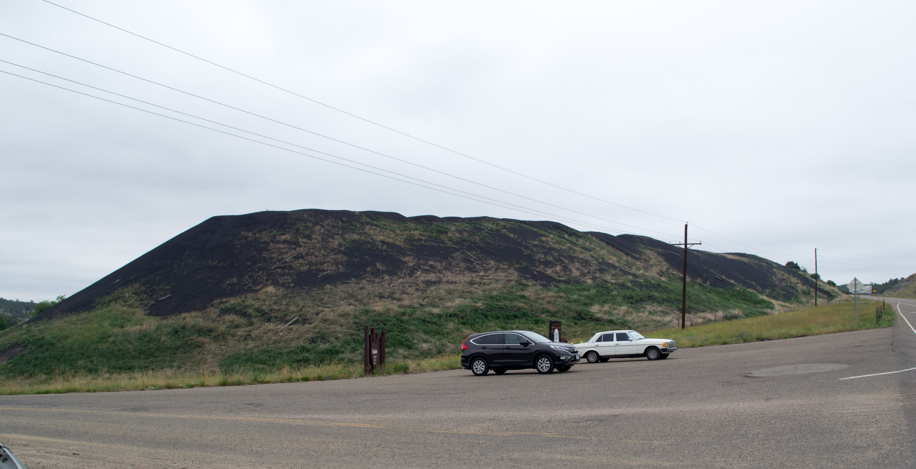
Cokedale Historic Dist, CO slag pile (# 0064)
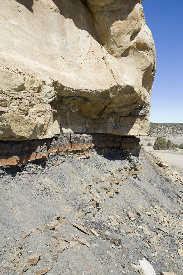
dinosaurs extinction asteroid tertiary ktboundary kpboundary geologypaleontologychicxulubcratercretaceouspaleogene
K-T_Boundary009
scenery colorado ontheroad dirtywindow
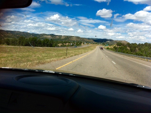
Time to clean the windscreen!!
scenery colorado rearview ontheroad cowboycountry
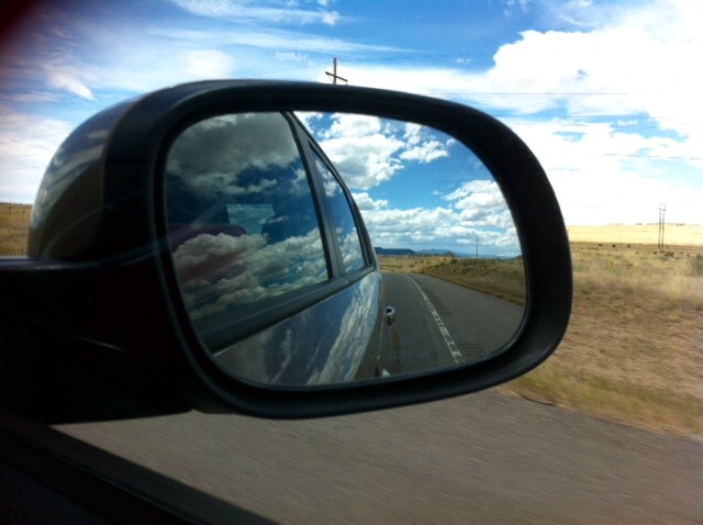
Mountains in the rear view.
ranch sunset mountains home uploaded:by=flickstagram instagram:photo=59872974551025779811996620 instagram:venuename=popranch instagram:venue=53644043
The sun is headed behind the...
countryliving spanishpeaks uploaded:by=flickstagram instagram:photo=59864834839736046611996620 instagram:venue=171692960 instagram:venuename=popranch
A view that never gets old...
road trees mountain nature forest river landscape photography colorado unitedstates environmentalprotectionagency documerica usnationalarchives boydnorton nara:arcid=544860 westdolores
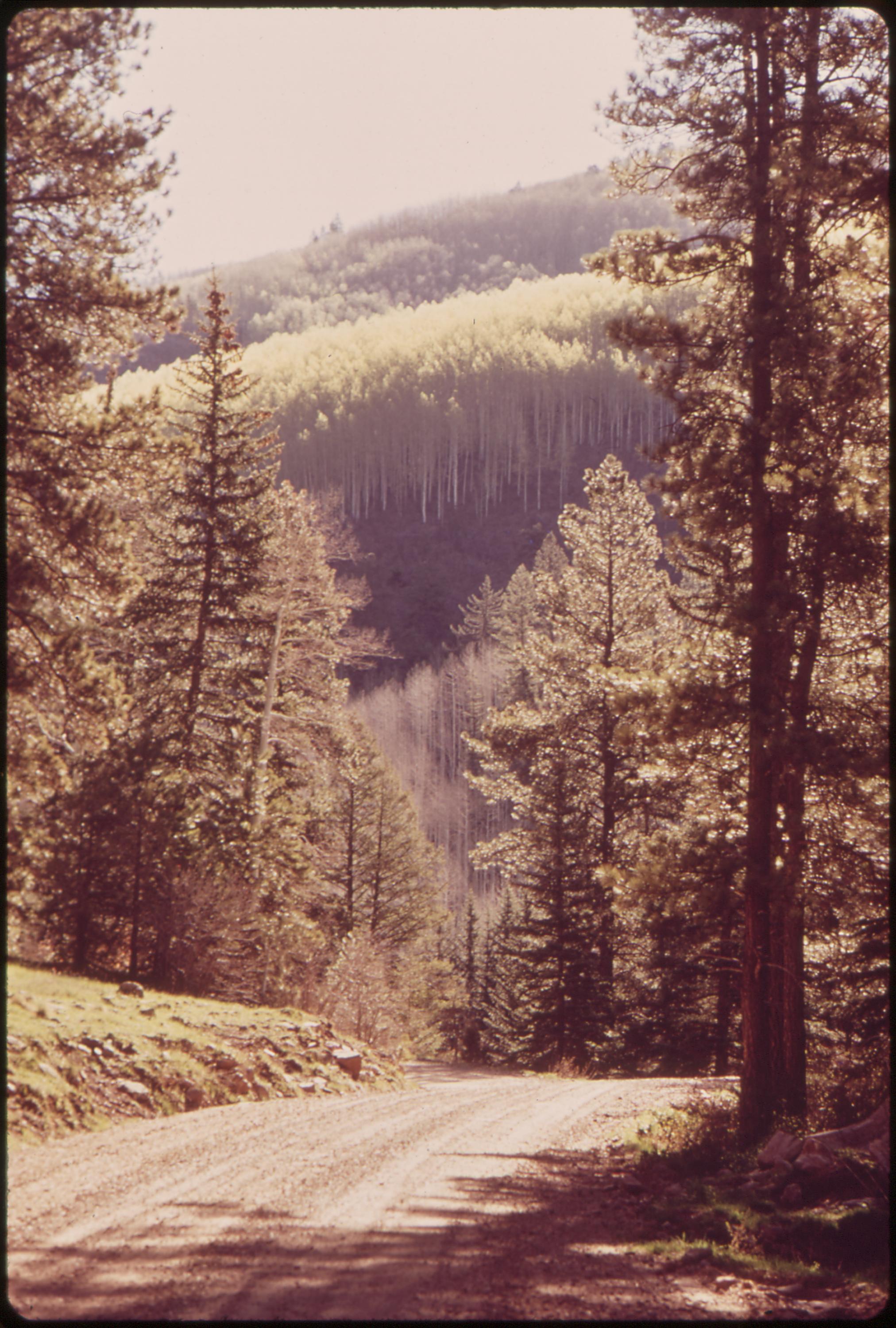
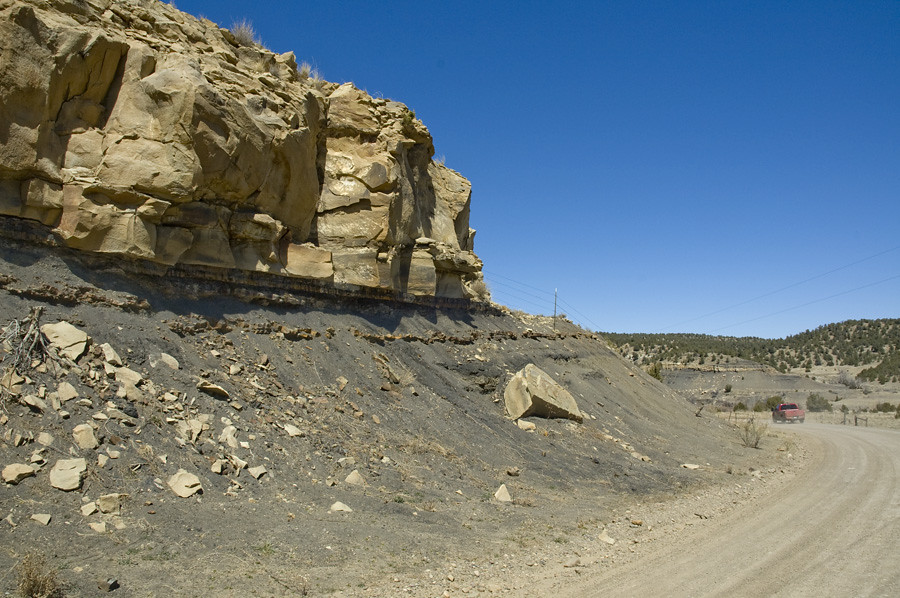
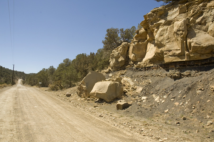
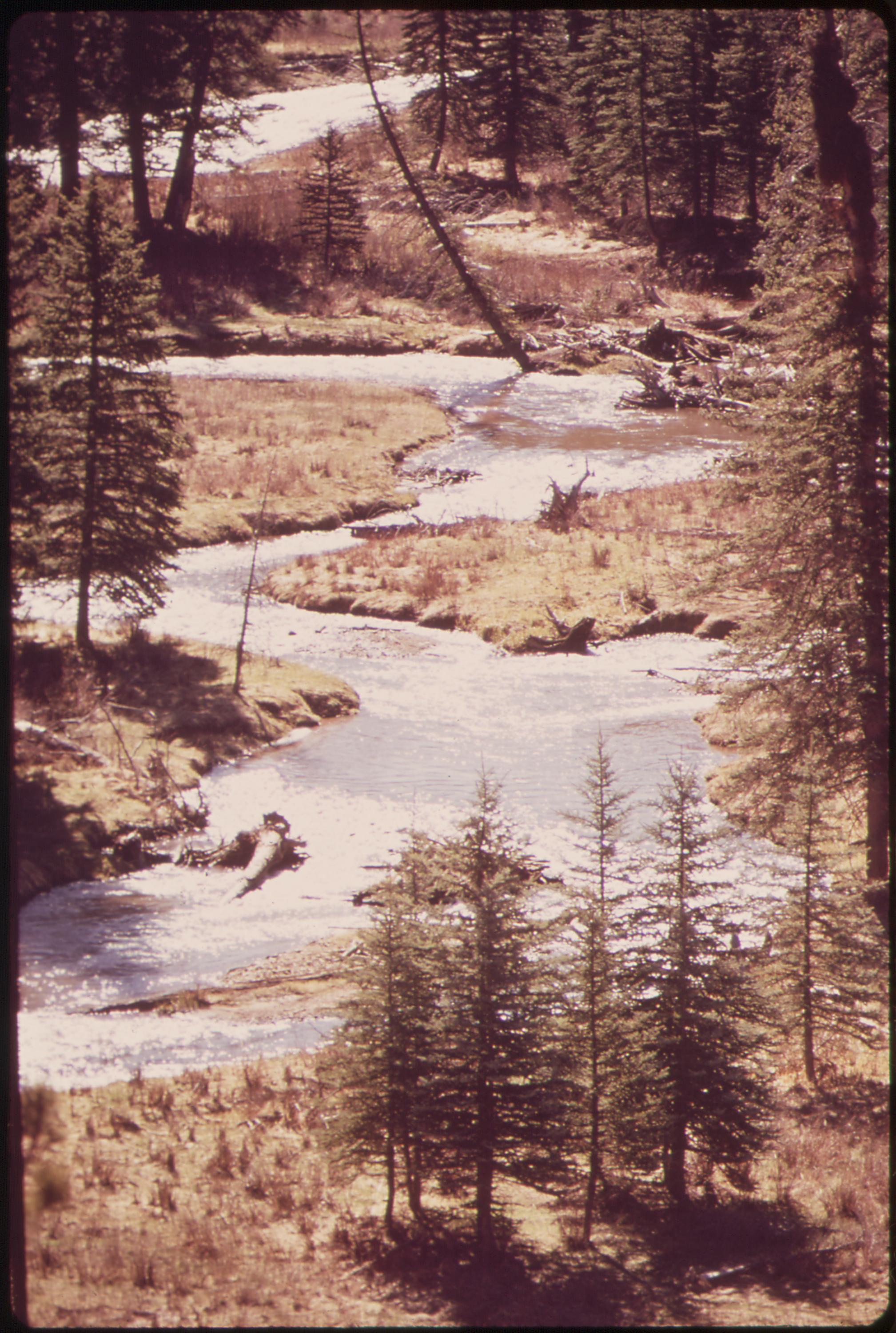
Forest road near West Dolores River, 05/1972.
dinosaurs extinction asteroid tertiary ktboundary kpboundary geologypaleontologychicxulubcratercretaceouspaleogene
K-T_Boundary028
gecondit grantcondit trinidad colorado river landscape 6d winter purgatoireriver day
Purgatoire River
trinidadcolorado trinidadlake
Trinidad Lake
ranch trees building fence river landscape photography colorado unitedstates rustic western environmentalprotectionagency documerica usnationalarchives nara:arcid=544865 boydnorton westdolores
Ranch, 04/1972.
trees nature water river landscape photography colorado unitedstates environmentalprotectionagency documerica usnationalarchives boydnorton nara:arcid=544861 westdolores
West Dolores River, 05/1972.
life california trip travel viaje summer digital landscape photography photo solitude foto desert camino nevada theend roadtrip wanderlust vida verano goinghome openroad elfin roadwarrior 2010 unedited hartnett iphone sadtimes fotografía iphoneography iphone3gs hipstamatic gogoloopie darknightofthesoulhipstamaticcontestentry deeashley dionnehartnett
The Lovely Sore Thumb (Hipstamatic Contest Entry)
southwestchief amtrak amtrak3 amtk202 colorado trinidad starkville ratonpass bnsfratonsubdivision
The Jansen Cantilever
usa trinidad co trinidadcolorado
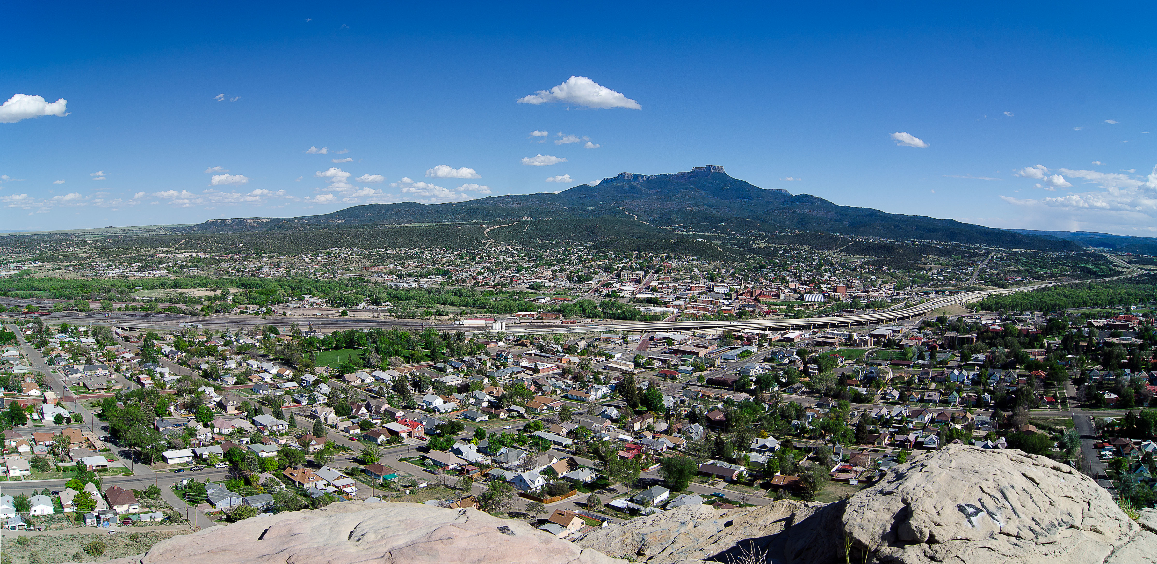
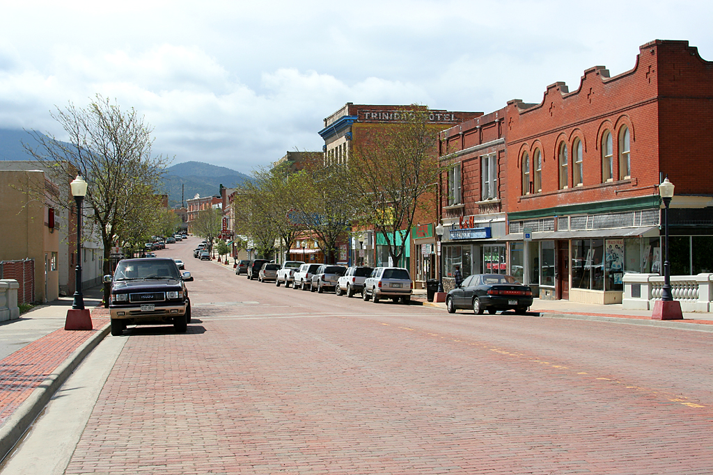
Trinidad, Colorado_Panorama
mountains colorado trinadad southerncolorado
Mountain south of Trinadad
trees moon nature forest landscape photography colorado unitedstates astronomy environmentalprotectionagency documerica usnationalarchives boydnorton nara:arcid=544870 westdolores
Moon over forest, 05/1972.
river landscape scenery colorado mine coke historic mining trinidad coal coking coalmining cokeovens 200605 nationalregisterofhistoricplaces cokedale highwayoflengends nrhp lasanimascounty cokedalehistoricdistrict 85000083 purgatoireriver
Historic Coke Ovens, Cokedale, Colorado
trees usa mountains forest landscape scenery colorado unitedstates meadows valley mesa
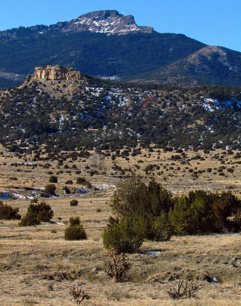
Raton Mesa and valley, Colorado
square squareformat iphoneography instagramapp uploaded:by=instagram
Snowy peaks at the top of I-25 on the border with #NewMexico - #beautiful #beautifulcolors #snow #mountains #colorado
trees usa mountains forest landscape scenery colorado unitedstates meadows valley shrubs mesa
Raton Pass Scenery, Colorado
life trip travel viaje summer digital landscape solitude foto desert camino nevada theend roadtrip wanderlust vida verano openroad elfin roadwarrior 2010 unedited hartnett sadtimes iphoneography iphone3gs gettyportfolio gogoloopie darknightofthesoulhipstamaticcontestentry dionnehartnett
It Seemed Like a Brilliant Idea at the Time... (Hipstamatic Contest Entry)
snow landscape colorado scenic trinidad co rockymountains 14ers fourteeners sangredecristos culebrapeak 13ers
Culebra Peak panorama
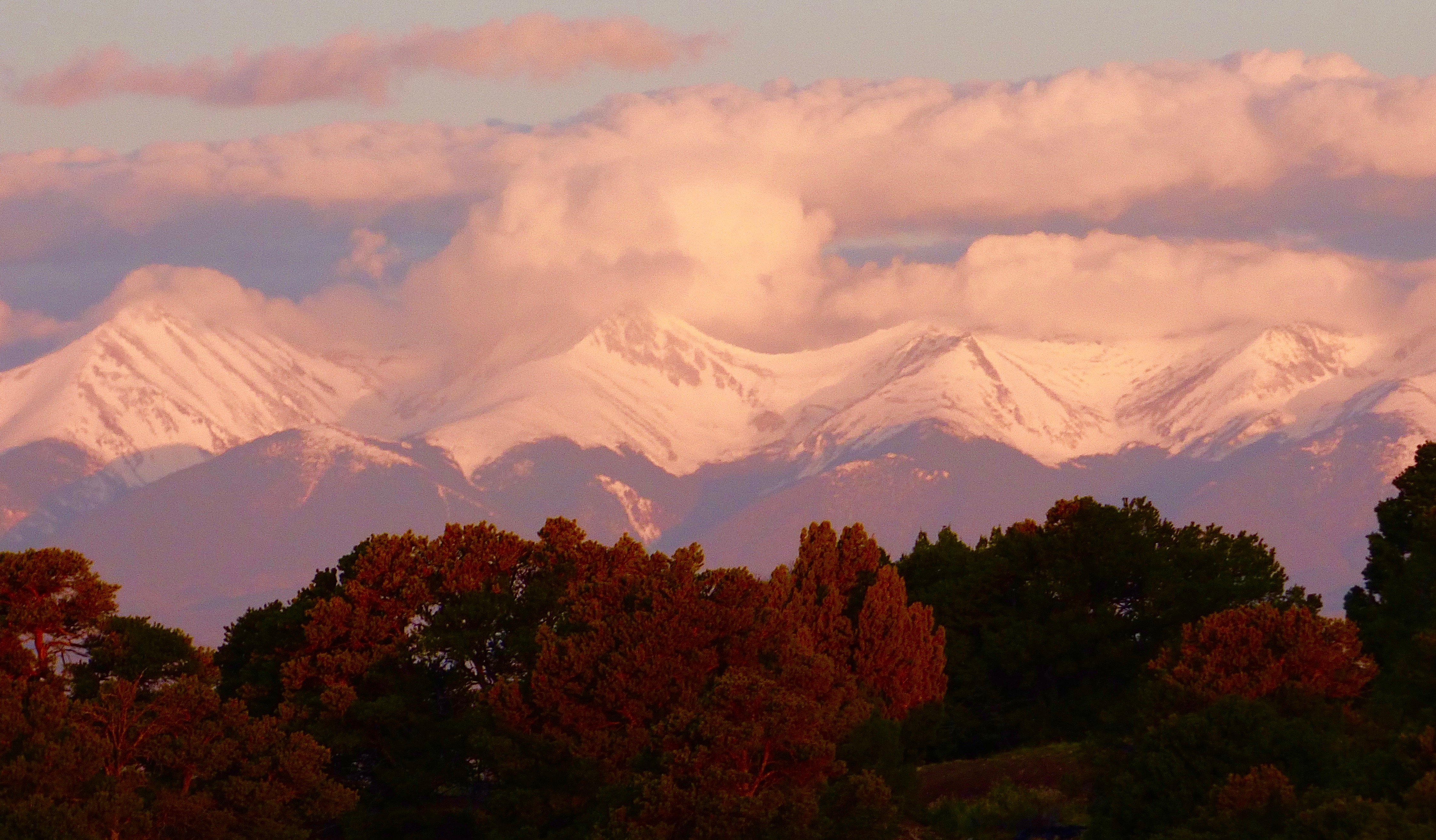
colorado trinidad
Sangre De Cristo