Elevation of Rancho Santa Margarita, CA, USA
Location: United States > California > Orange County >
Longitude: -117.60310
Latitude: 33.640855
Elevation: 282m / 925feet
Barometric Pressure: 98KPa
Elevation Map:
Satellite Map:
Related Photos:

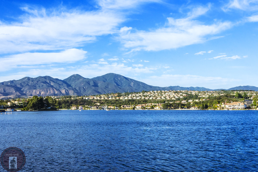
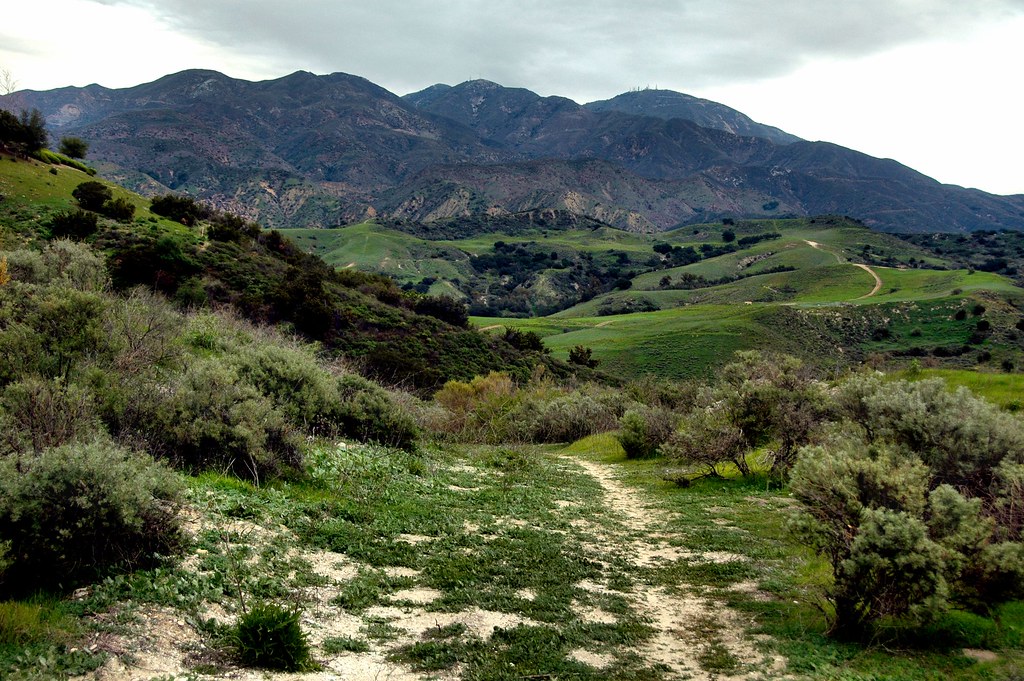
Live Oak Trail from Vista Point

K.i.S.S.

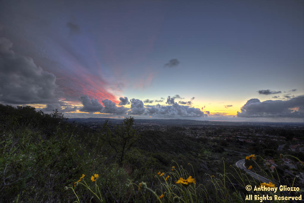
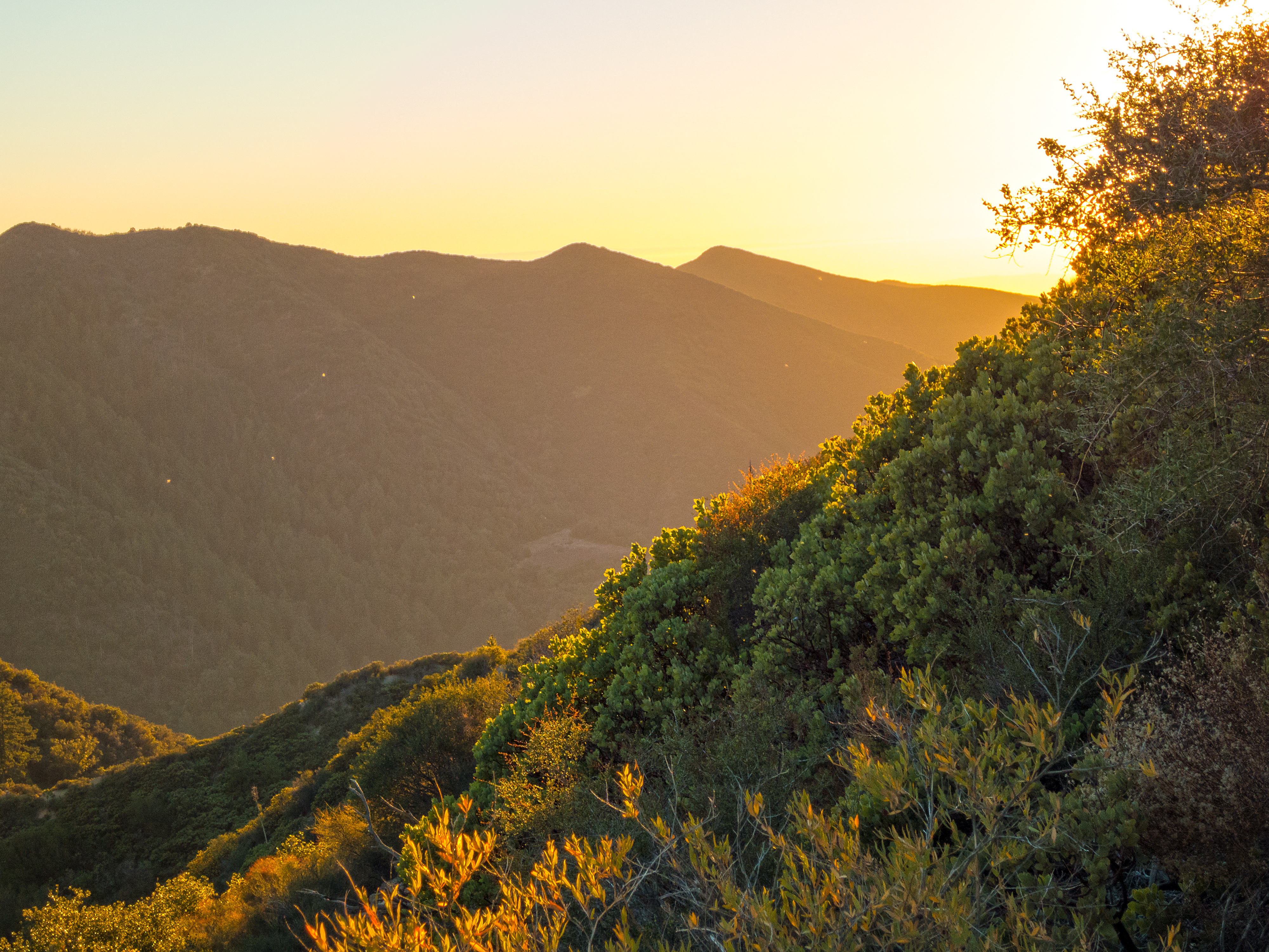
Sunrise in California
Canaveras Trail (22317-9)

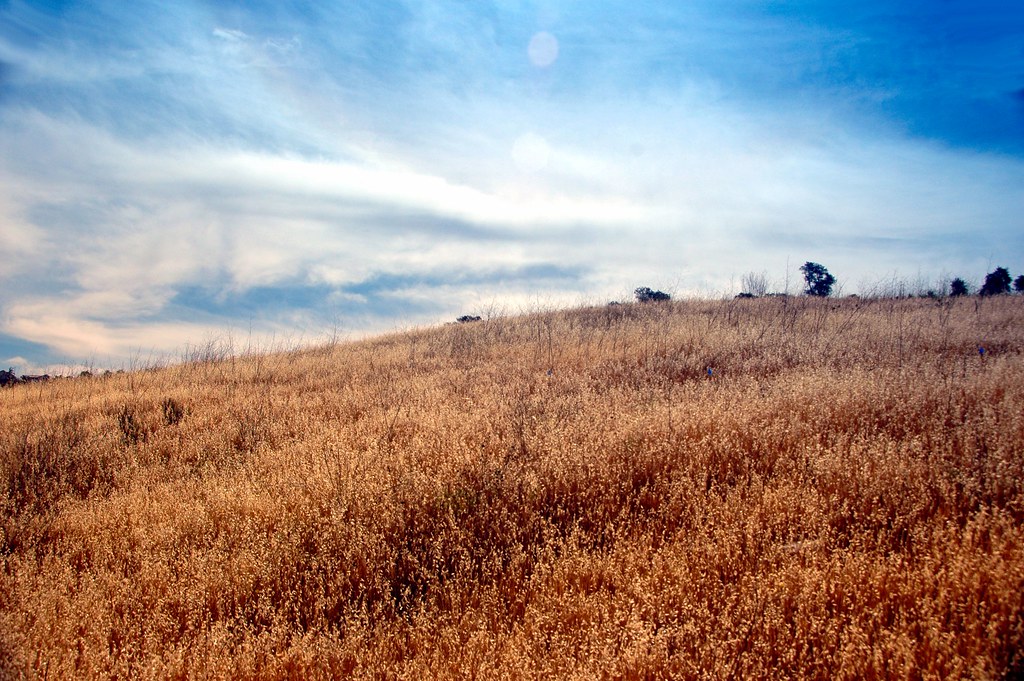
Bountiful November

1960 DeSoto Fireflite Hardtop --- EXPLORED 2/12/13 #310
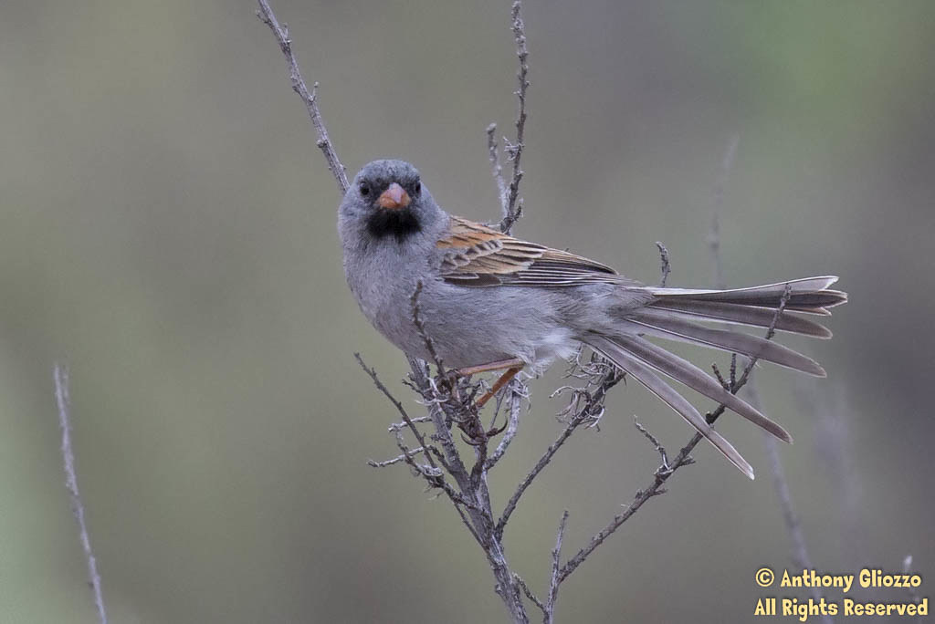
Black-chinned Sparrow (23394)

Lydia the Tattooed Lady

Bushtit (23356) (Pacific variation) Front View
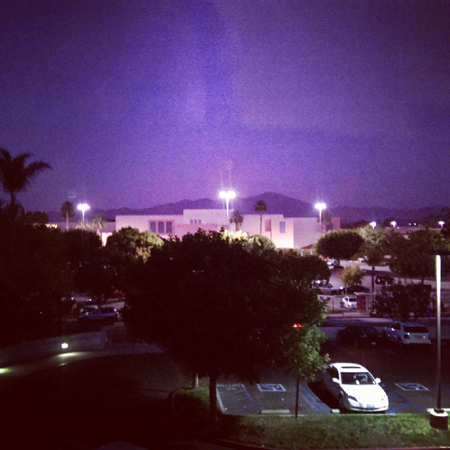
The #view out my dad's #room #night

1953 Cadillac Eldorado Convertible
My view from the Stepping Up Men's conference at Trabuco Canyon Community #Church.... Not a bad way to start the day....

no longer random

Black-and-white Warbler (22593)(Top Down View)

.Metamorphosis Part 4.

Rock Wren calling (18915)

Cactus Wren (18961)
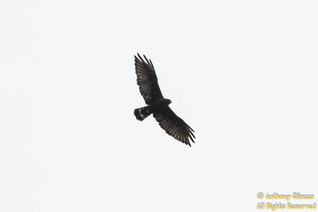
Zone-tailed Hawk (20776) in Flight

In The Clouds

Quick MTB climb to the top of the lawn section of the Verizon Wireless Amphitheater, nice view from up here.
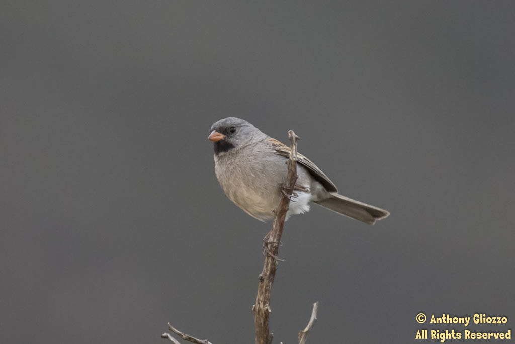
Black-chinned Sparrow (23415)

It must be spring....

Soka University of America
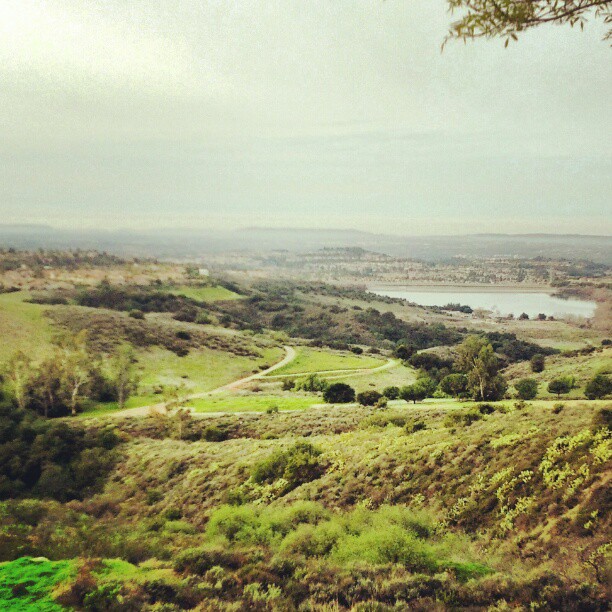
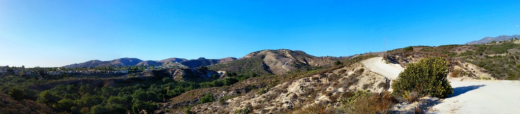
Whiting Ranch Wilderness Park

Water Tower Zoom

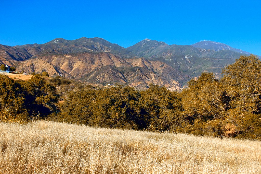
Southwest from Sugarloaf

Arroyo Trabuco
Copse of Sycamores
Mission Viejo Orange County California 2015-05-06

Riley Ridge
Edge of the World
The Saddleback from O'Neill
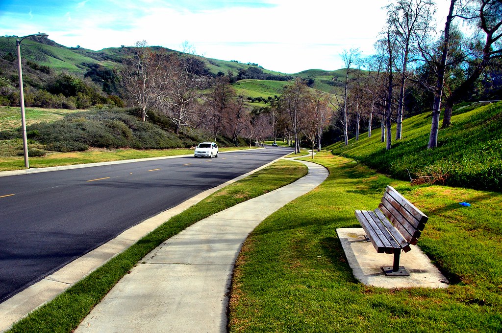
Ridgeline Road
The Saddleback
Autumn's Warmth

Whiting Ranch Wilderness Park

main divide road
Dreaded Hill
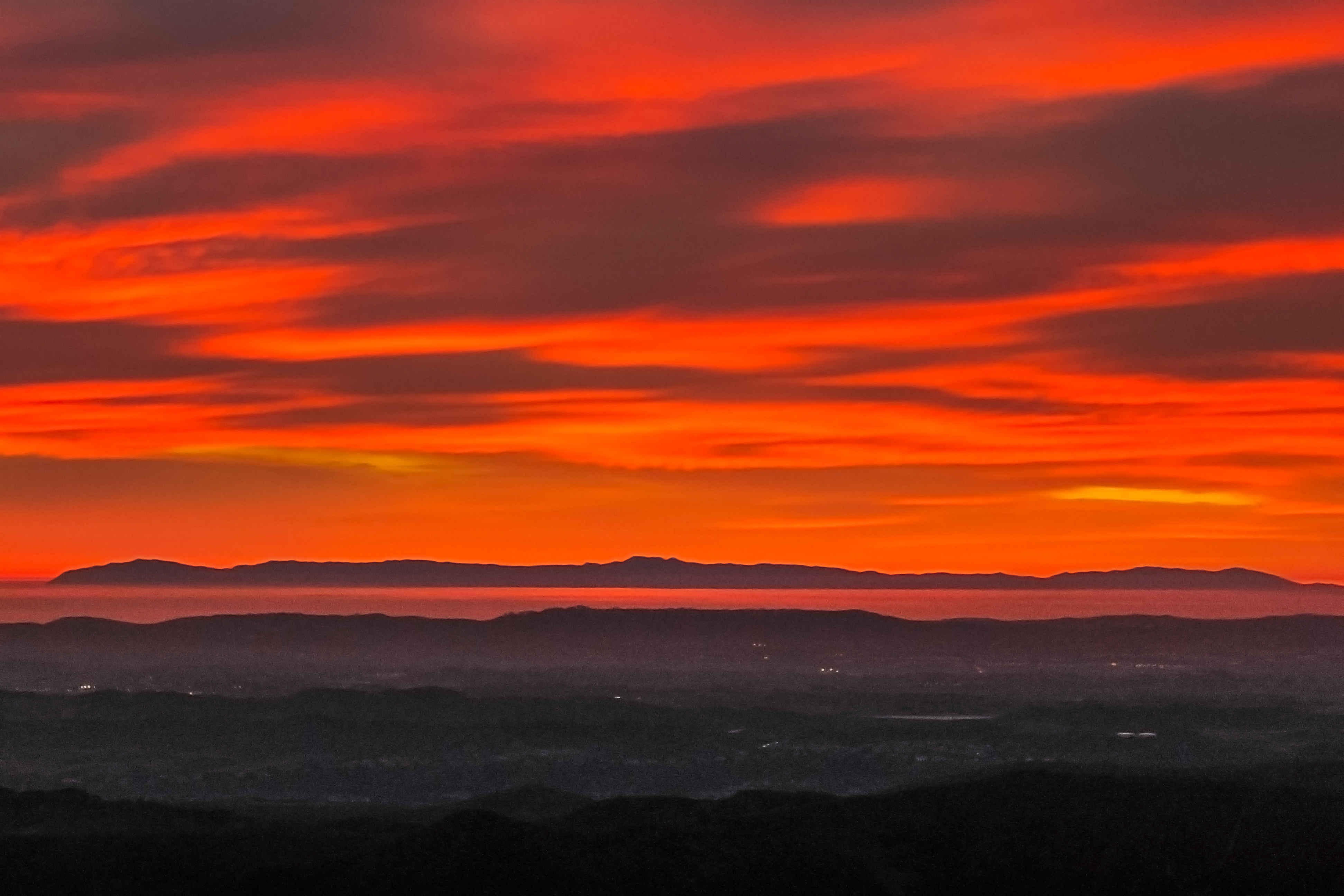
Catalina Fire

Oakley Plant

West Side of Whiting
Topographic Map of Rancho Santa Margarita, CA, USA
Find elevation by address:

Places in Rancho Santa Margarita, CA, USA:
Dove Canyon
Santa Margarita Pkwy, Rancho Santa Margarita, CA, USA
40 Ledgewood Dr, Rancho Santa Margarita, CA, USA
Las Flores
Rancho Santa Margarita, CA, USA
Places near Rancho Santa Margarita, CA, USA:
Santa Margarita Pkwy, Rancho Santa Margarita, CA, USA
Rancho Santa Margarita, CA, USA
30316 Esperanza
17 Via Babera
20171 Trabuco Canyon Rd
50 Tierra Plano
34 Pso Estrellas
48 Vía Anadeja
48 Vía Anadeja
44 Vía Anadeja
3 Vía Anadeja
23 Amantes
22011 Grass-valley
22232 Hazel Crest
21325 Carabela
21315 Carabela
17431 Amora
21417 Bastia
21417 Bastia
Upper Oso Reservoir
Recent Searches:
- Elevation of Corso Fratelli Cairoli, 35, Macerata MC, Italy
- Elevation of Tallevast Rd, Sarasota, FL, USA
- Elevation of 4th St E, Sonoma, CA, USA
- Elevation of Black Hollow Rd, Pennsdale, PA, USA
- Elevation of Oakland Ave, Williamsport, PA, USA
- Elevation of Pedrógão Grande, Portugal
- Elevation of Klee Dr, Martinsburg, WV, USA
- Elevation of Via Roma, Pieranica CR, Italy
- Elevation of Tavkvetili Mountain, Georgia
- Elevation of Hartfords Bluff Cir, Mt Pleasant, SC, USA