Elevation of Ramsey Springs, MS, USA
Location: United States > Mississippi > Stone County >
Longitude: -88.915542
Latitude: 30.768007
Elevation: 30m / 98feet
Barometric Pressure: 101KPa
Elevation Map:
Satellite Map:
Related Photos:
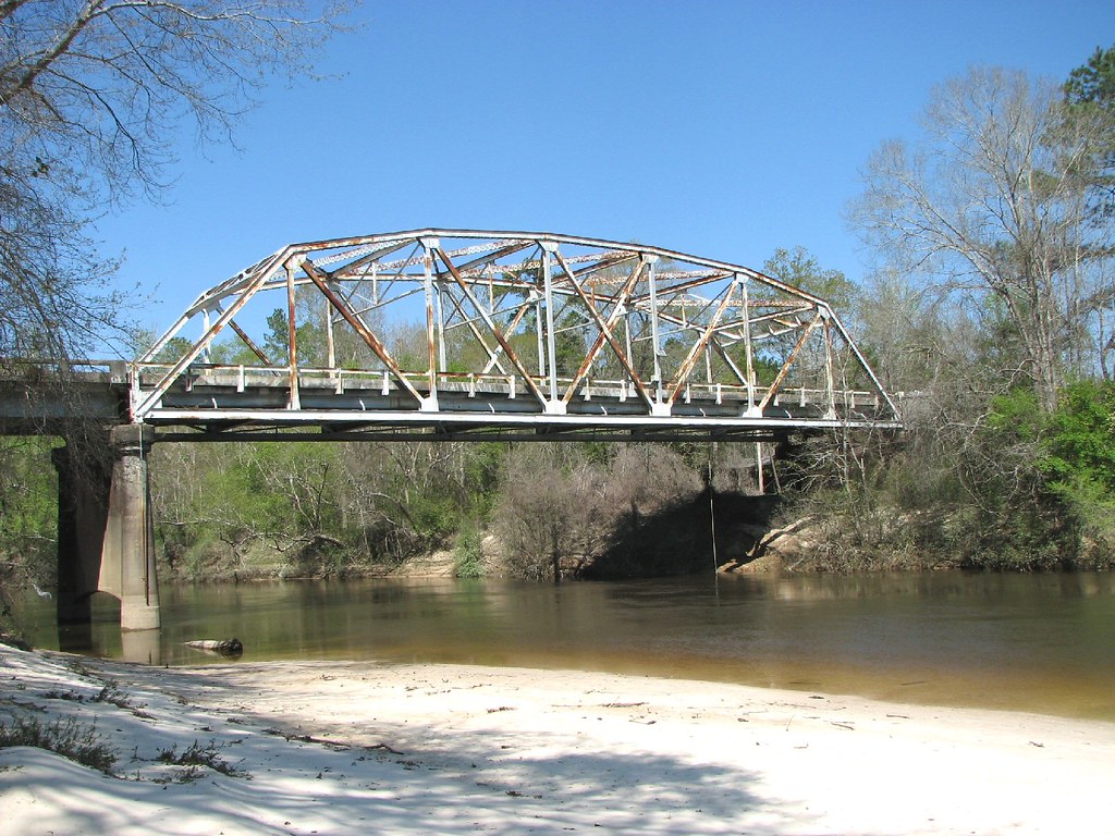
Black Creek-Side View
DSCF0383-Edit
DSCF0317-Edit

DSCF0324-Edit

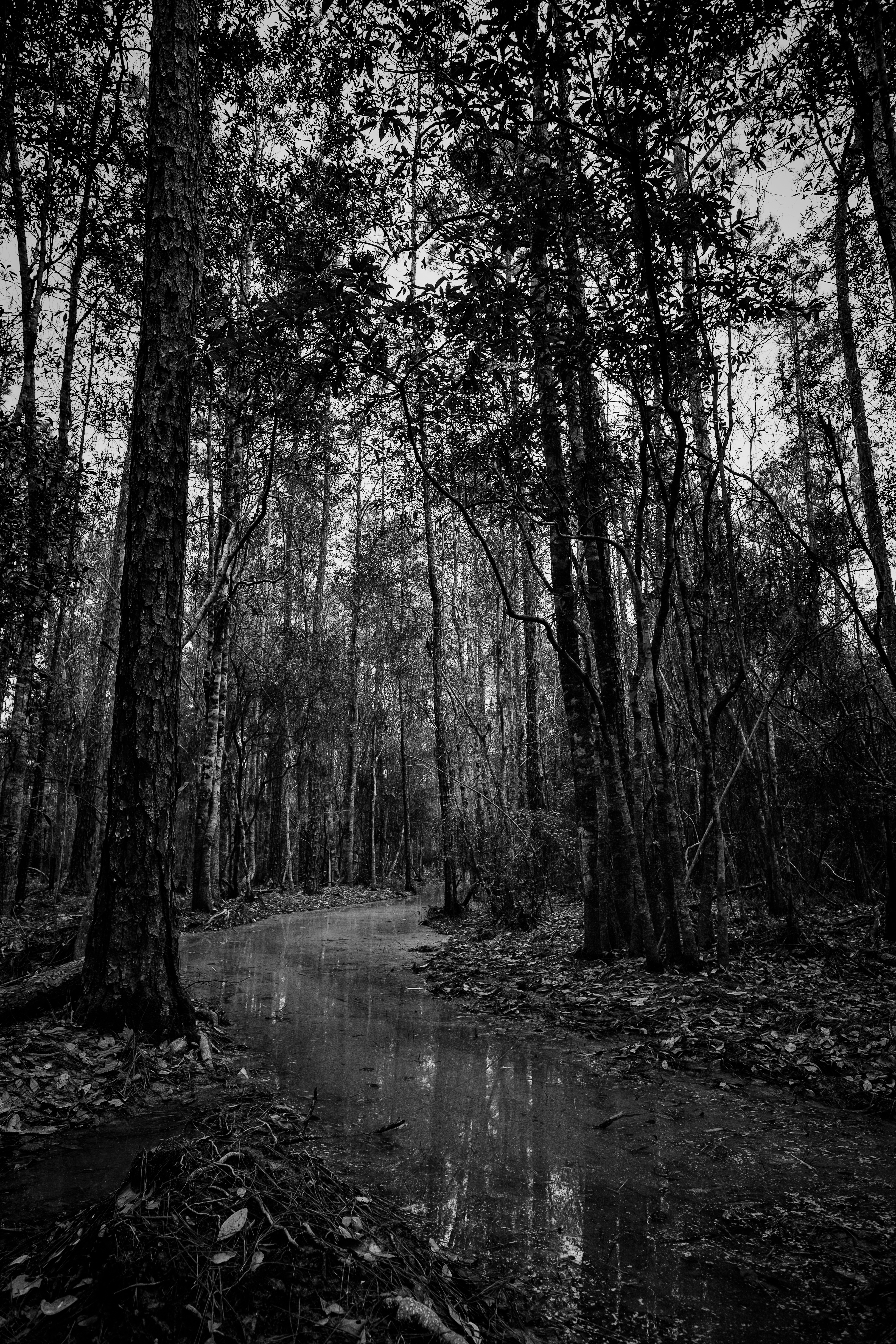
Flooded Trail
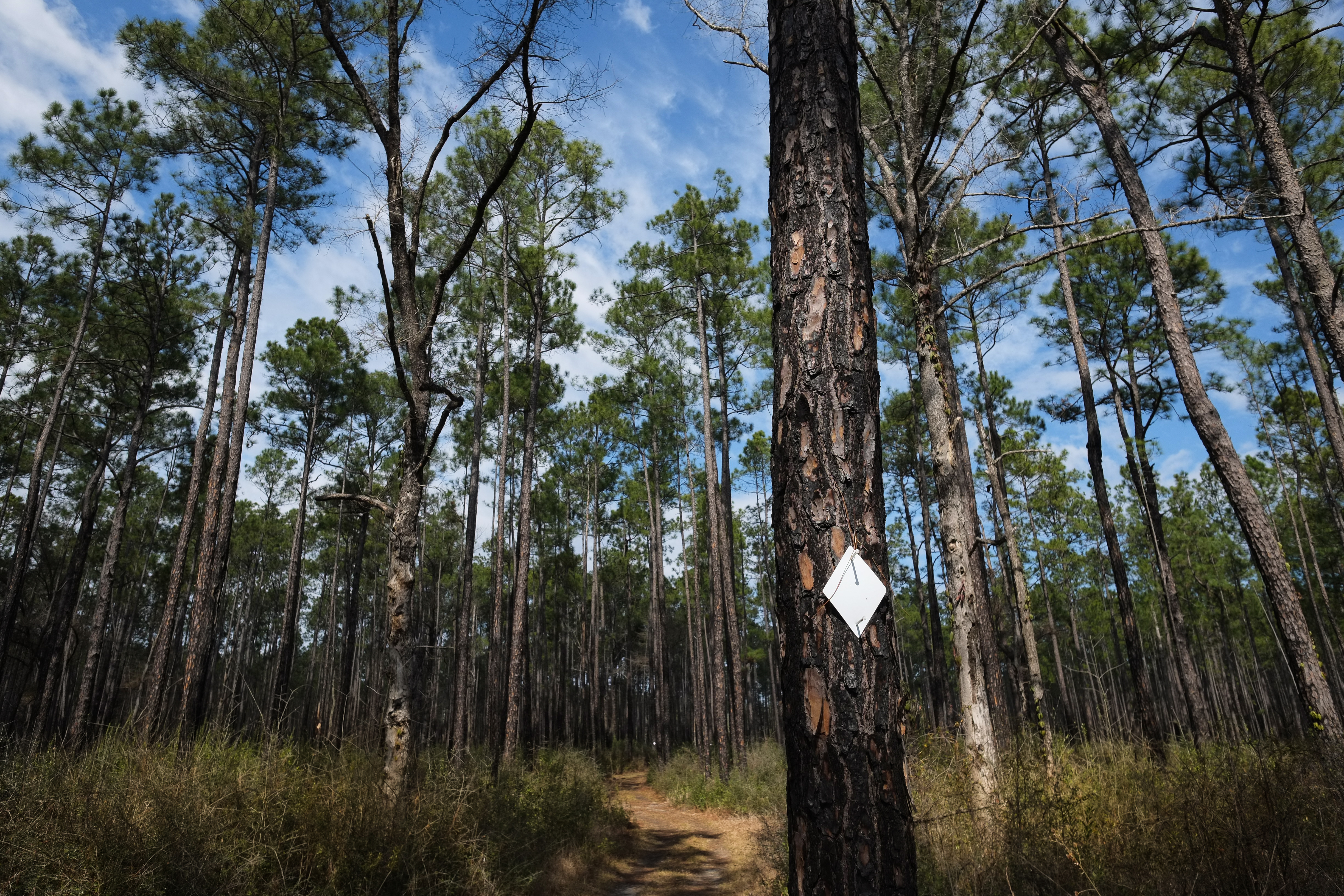
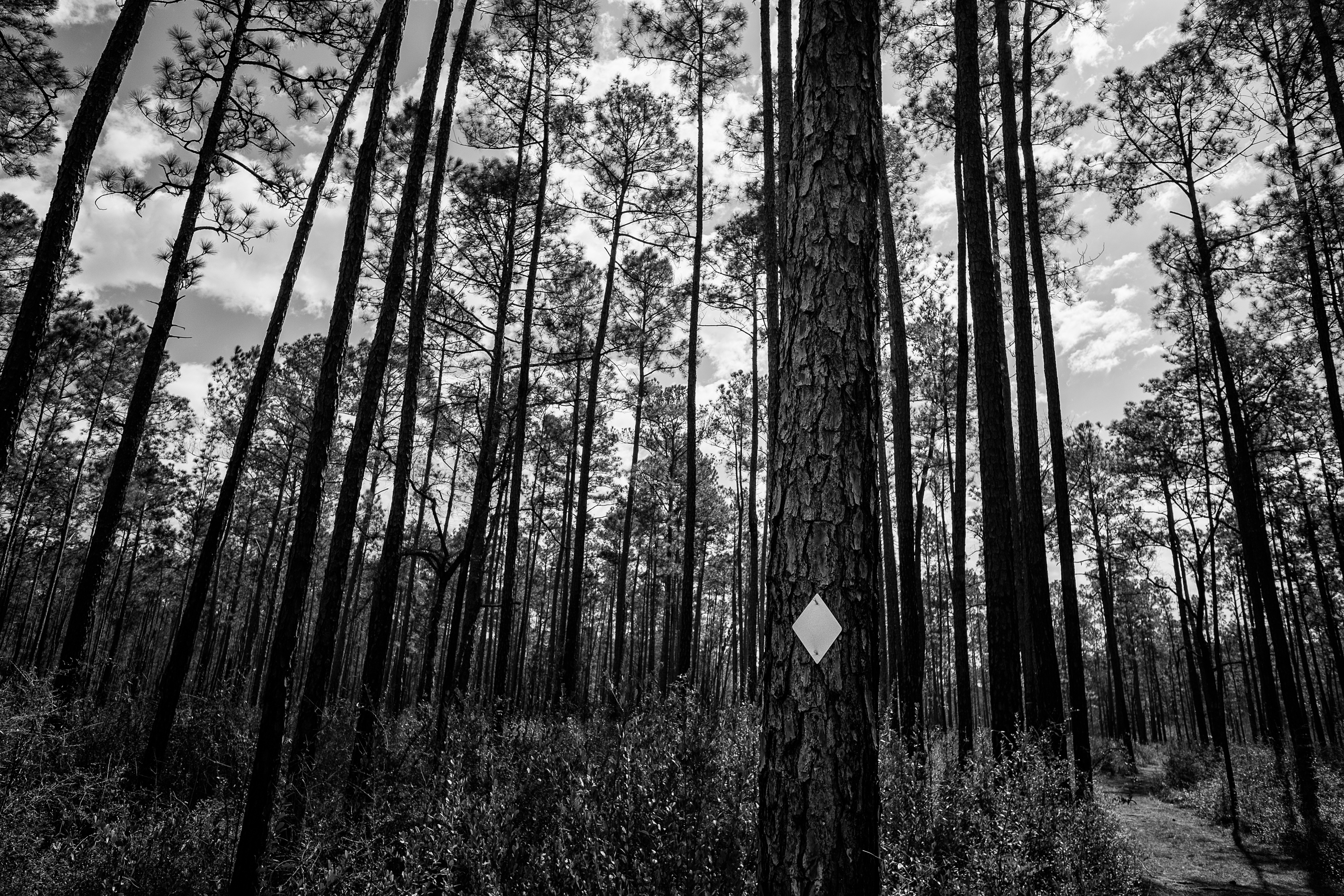
Tuxachanie Trail Blaze
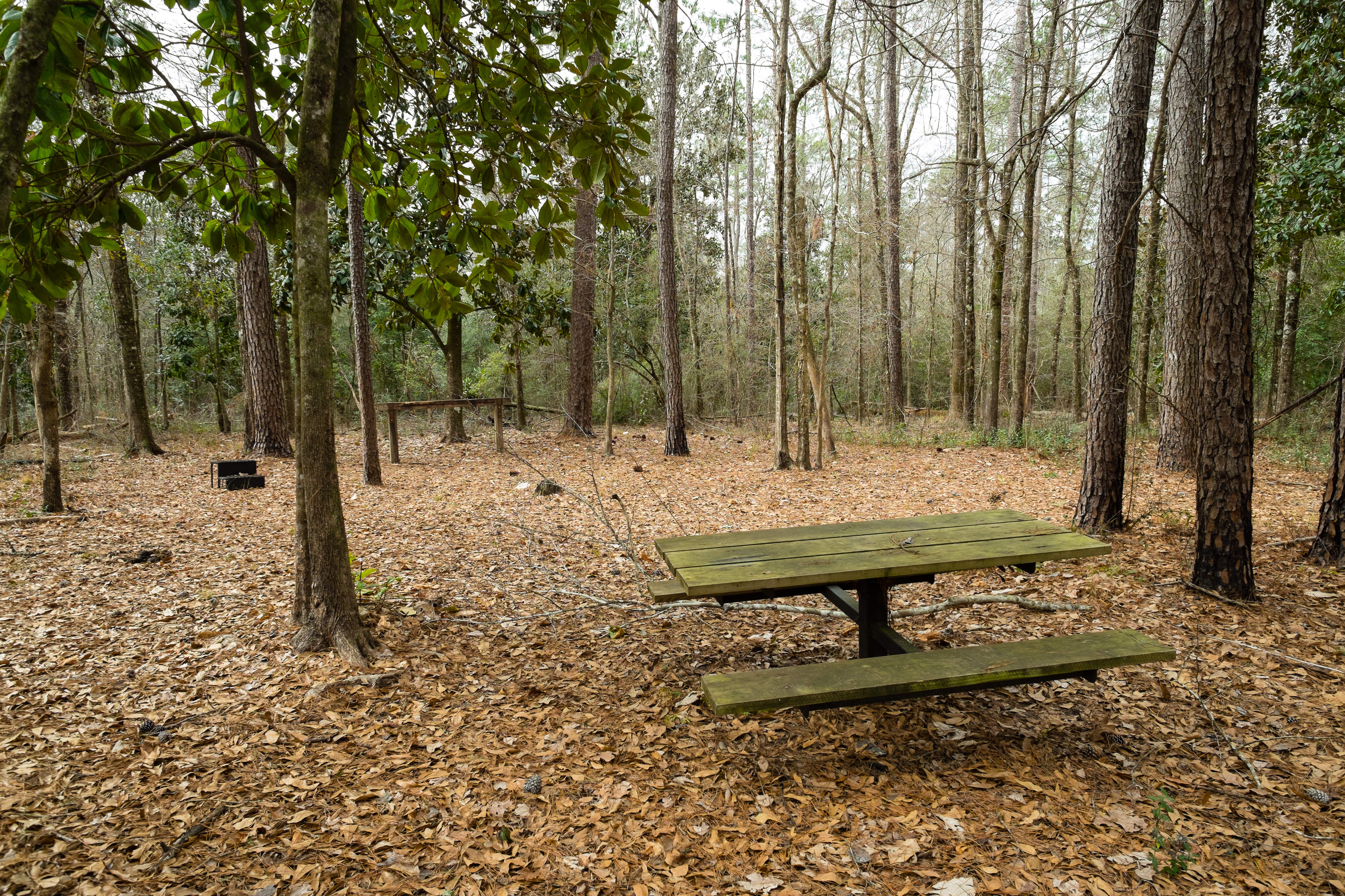
Horse Trail Camp
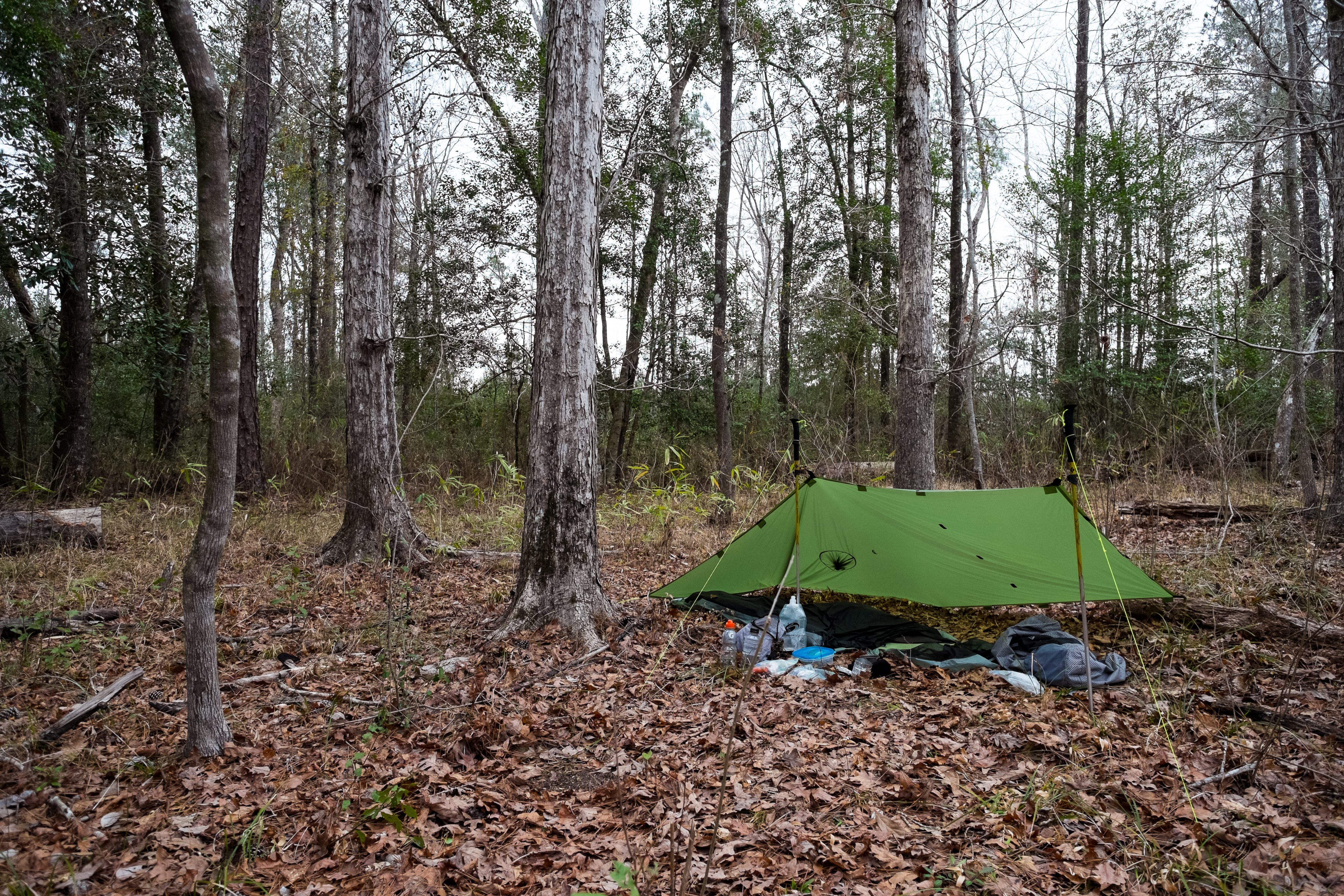
The Camp

Escatawpa 895.00
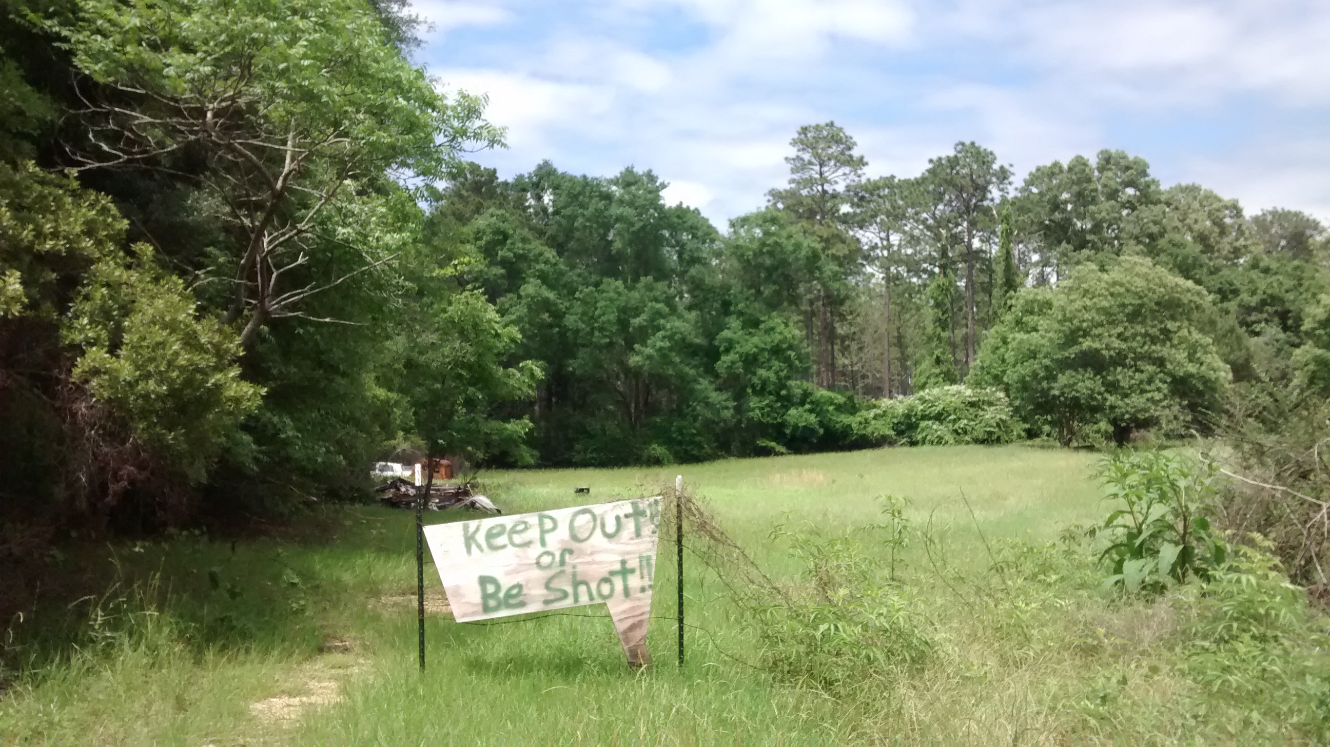
We didn't ask to fill our water bottles here

Lunch plate at a rural gas station

DSCF0399-Edit

Prairie Kingsnake

Dead Mouse
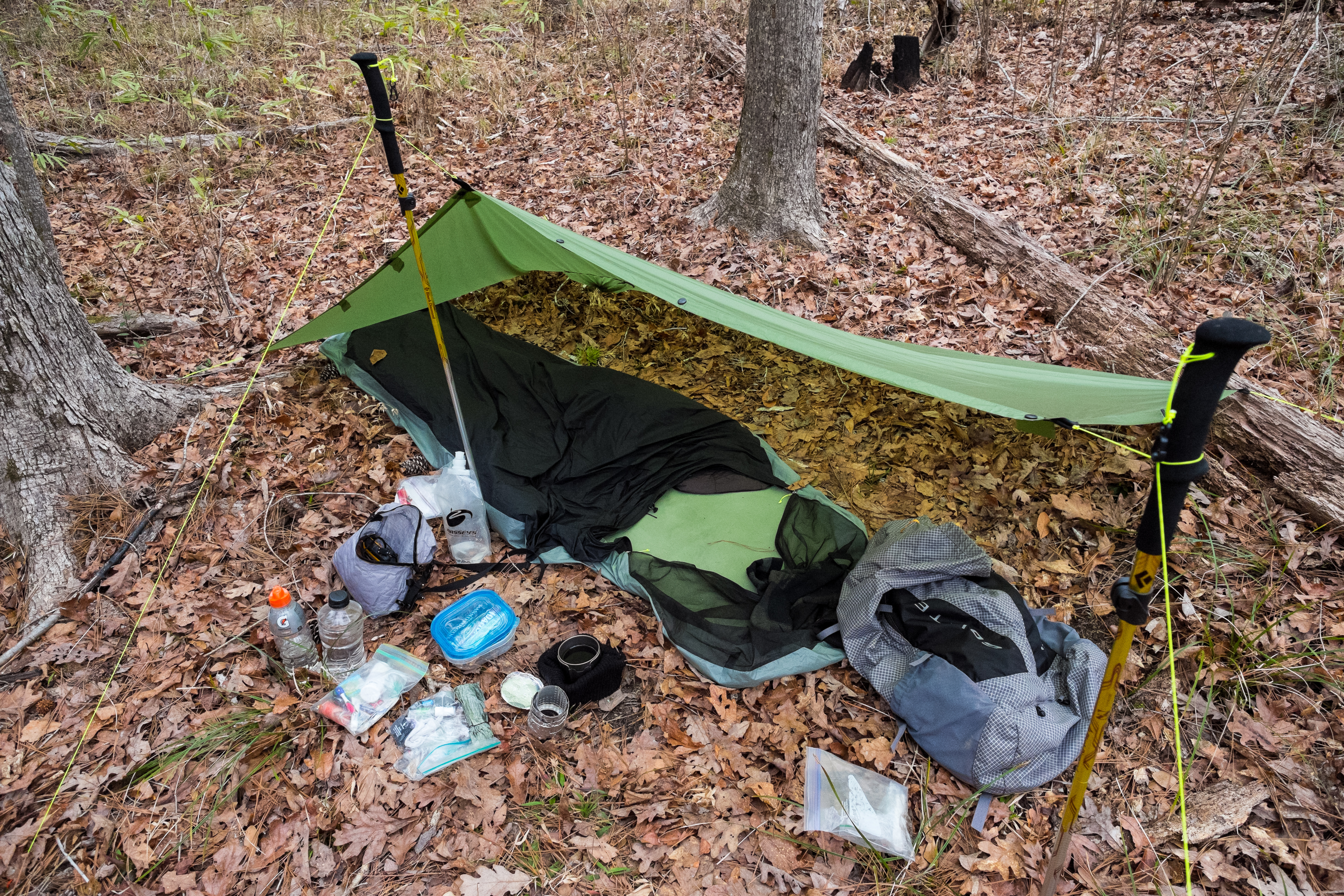
All My Gear

DSCF0327-Edit
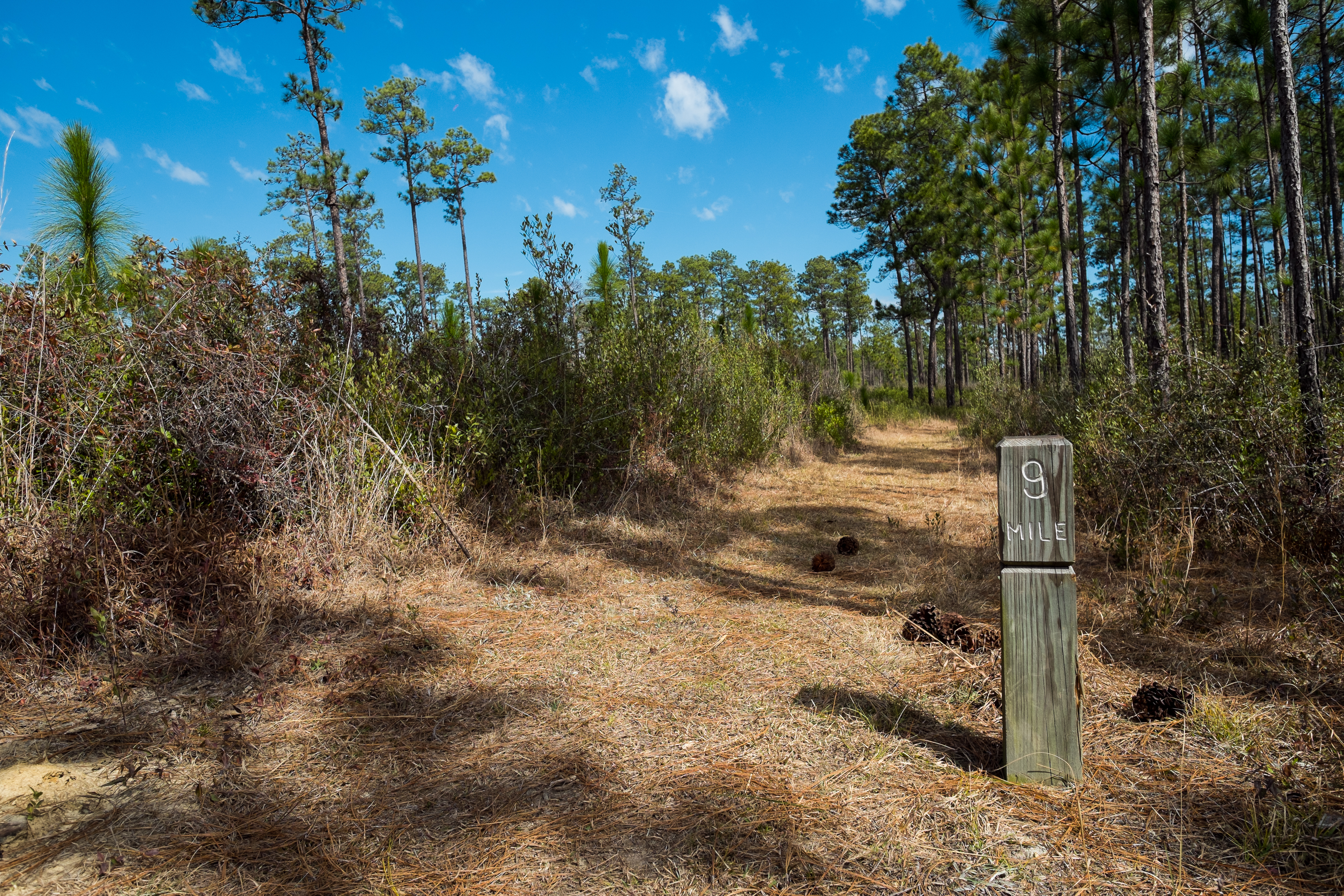
Mile 9
Topographic Map of Ramsey Springs, MS, USA
Find elevation by address:

Places near Ramsey Springs, MS, USA:
Wire Rd E, Perkinston, MS, USA
150 Ms-15
3016 Ms-15
Wallace Road
Big Level
9700 Cheyenne Rd
Bluff Creek Road
15421 Indian Fork Rd
10876 O Neal Rd
Gavin Road
16521 Old Biloxi Rd
34 Carl O'neal Rd
22149 Pine Haven
10 Mile Church Road
14400 Scarborough Rd
Carl Taylor Road
Perkinston
75 McHenry Ave, McHenry, MS, USA
Mchenry
Wiggins
Recent Searches:
- Elevation of Corso Fratelli Cairoli, 35, Macerata MC, Italy
- Elevation of Tallevast Rd, Sarasota, FL, USA
- Elevation of 4th St E, Sonoma, CA, USA
- Elevation of Black Hollow Rd, Pennsdale, PA, USA
- Elevation of Oakland Ave, Williamsport, PA, USA
- Elevation of Pedrógão Grande, Portugal
- Elevation of Klee Dr, Martinsburg, WV, USA
- Elevation of Via Roma, Pieranica CR, Italy
- Elevation of Tavkvetili Mountain, Georgia
- Elevation of Hartfords Bluff Cir, Mt Pleasant, SC, USA