Elevation of Rainier Vista Dr, Mineral, WA, USA
Location: United States > Washington > Lewis County >
Longitude: -122.17721
Latitude: 46.7538683
Elevation: 378m / 1240feet
Barometric Pressure: 97KPa
Elevation Map:
Satellite Map:
Related Photos:
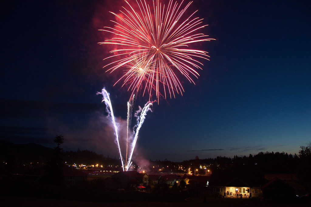
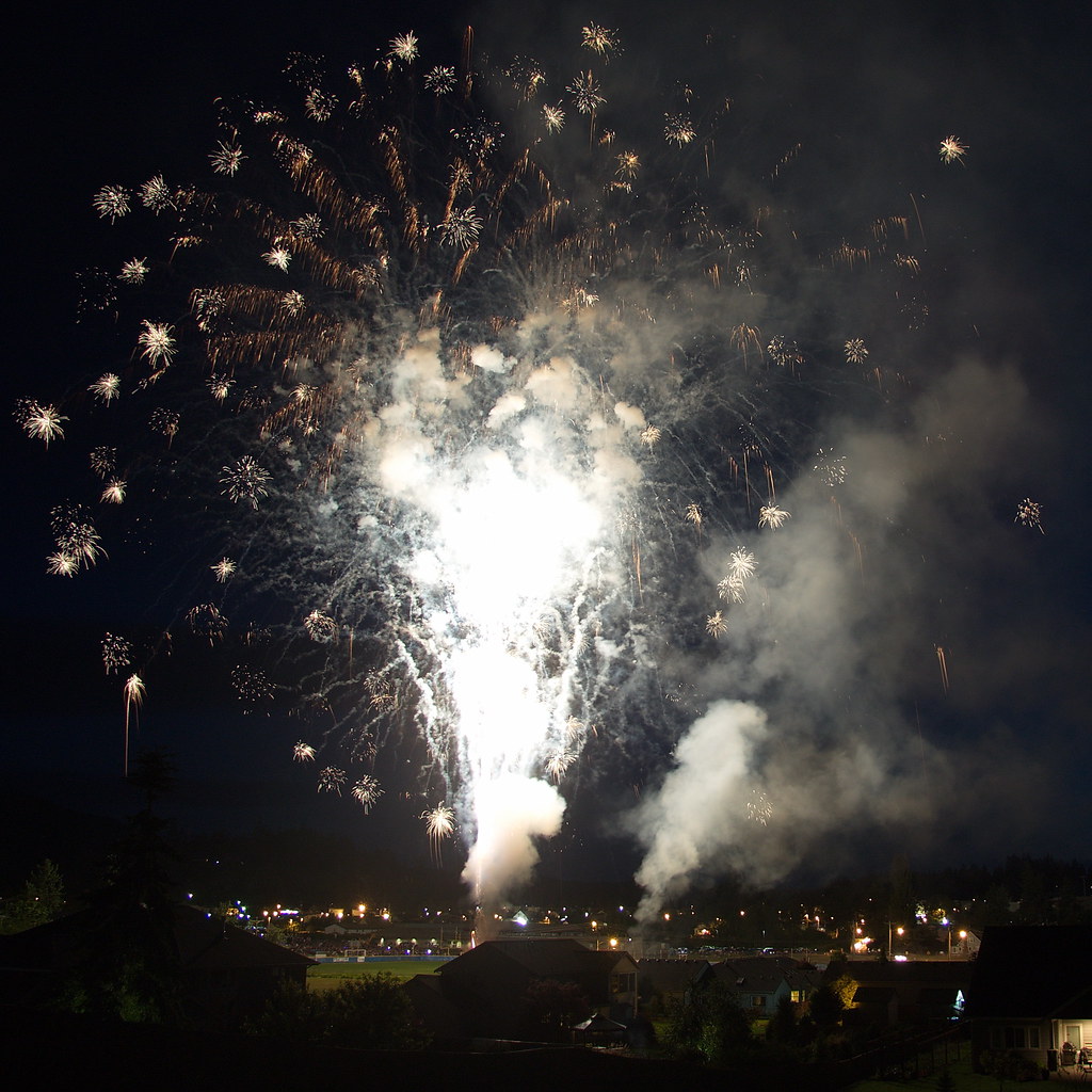
Lakeside Lightshow
Alder Cutoff Road
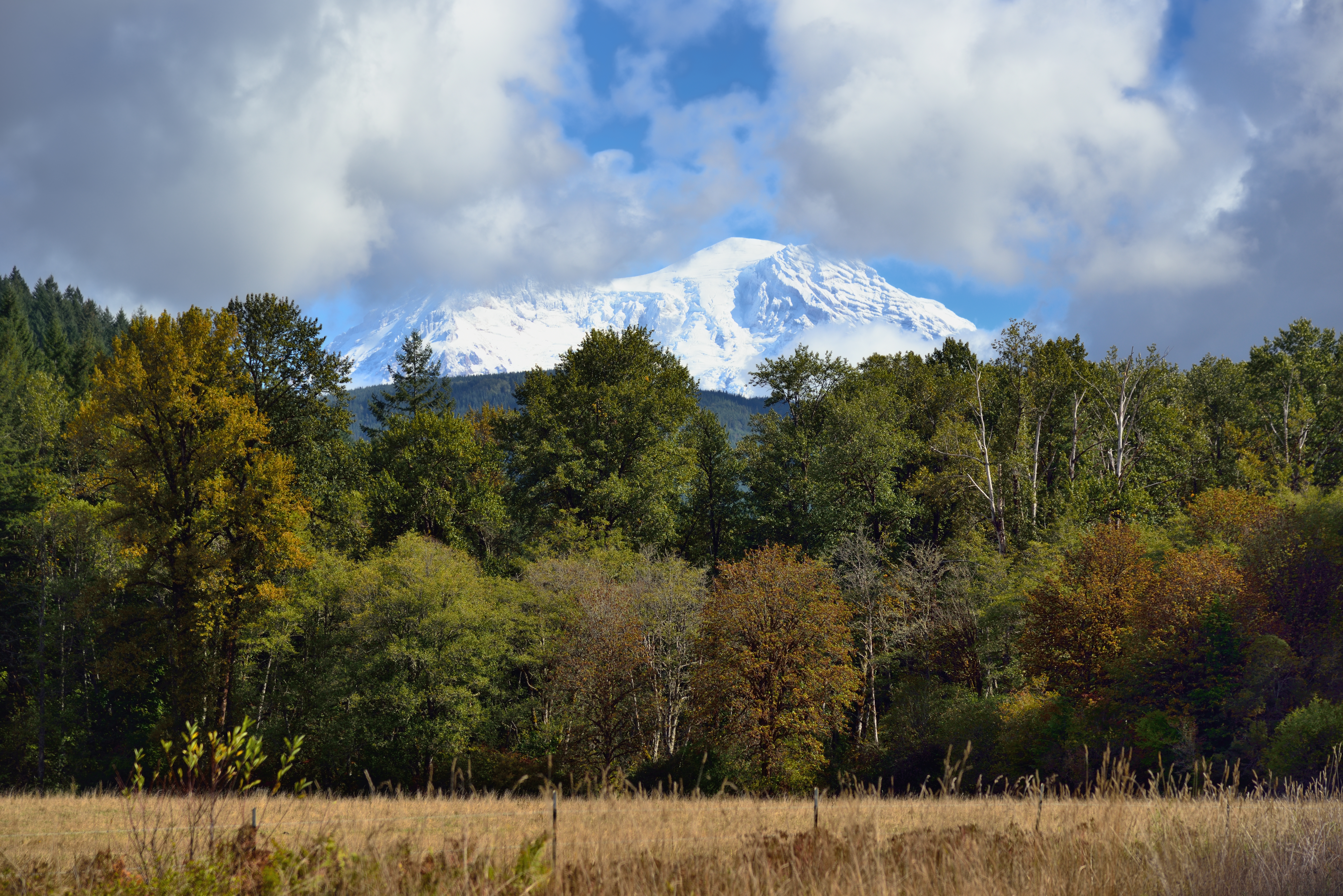
Mt. Rainier 2
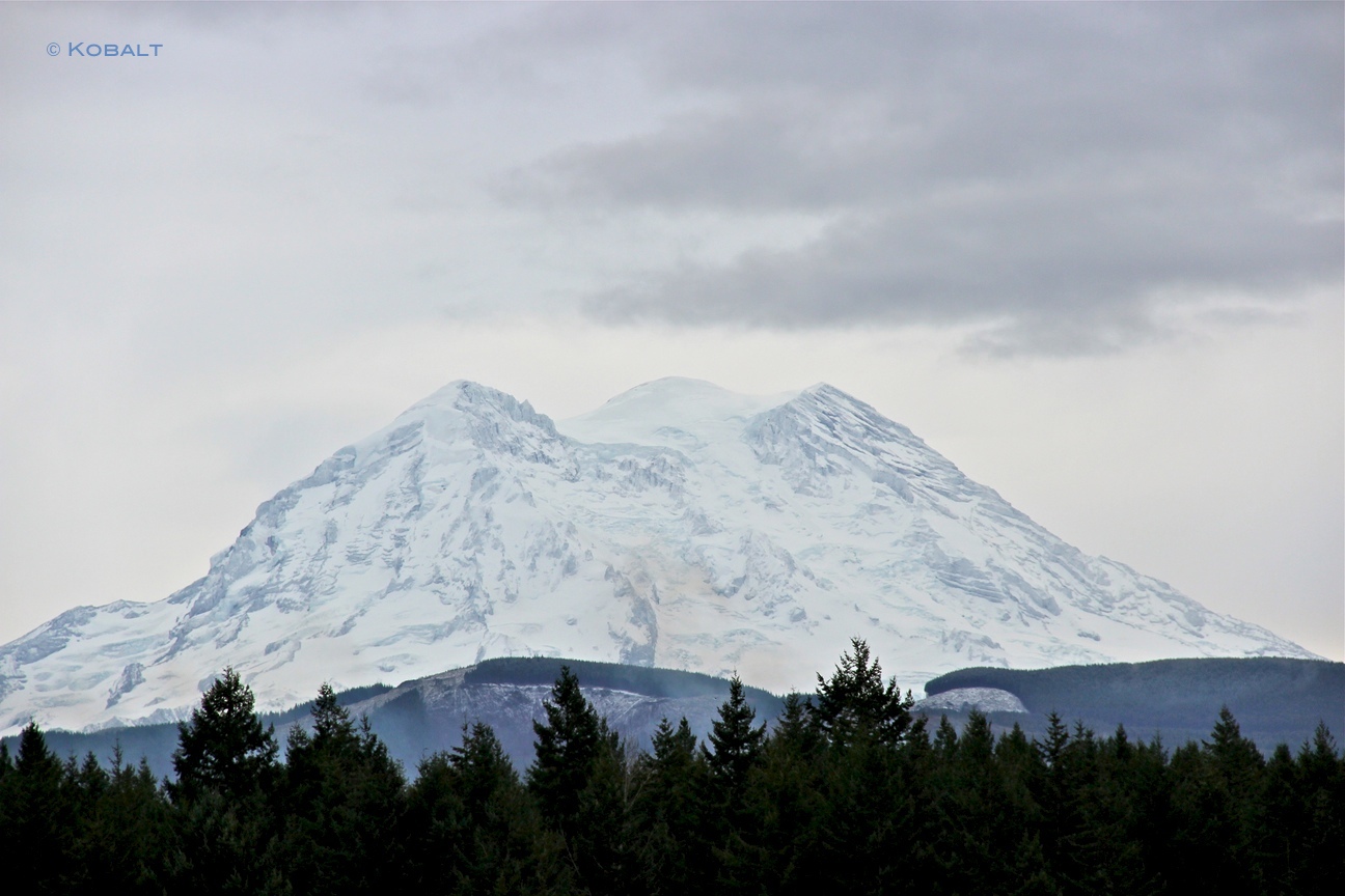
Mt. Rainier 4
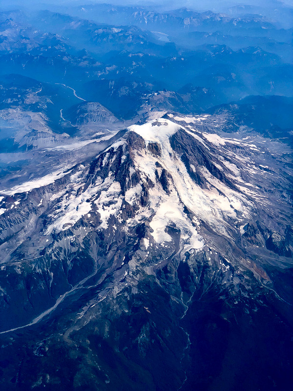
Aerial View of Mt Rainier

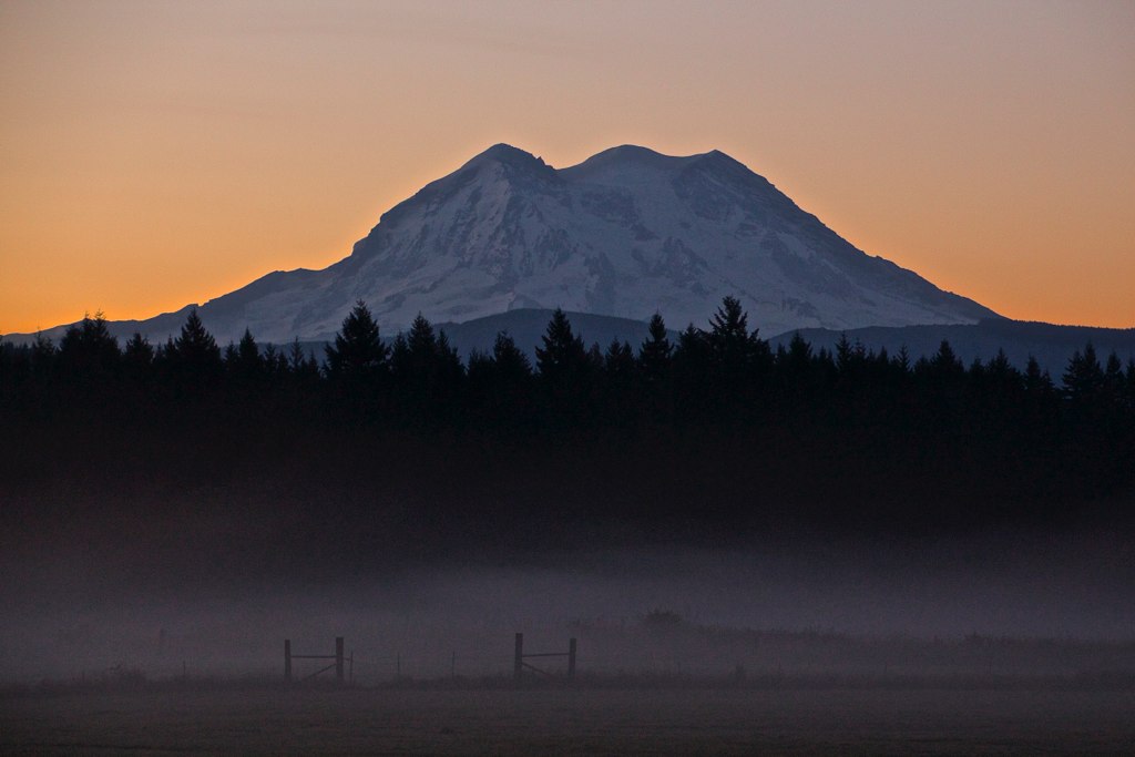
Mount Rainier Sunset

Autumn tennis
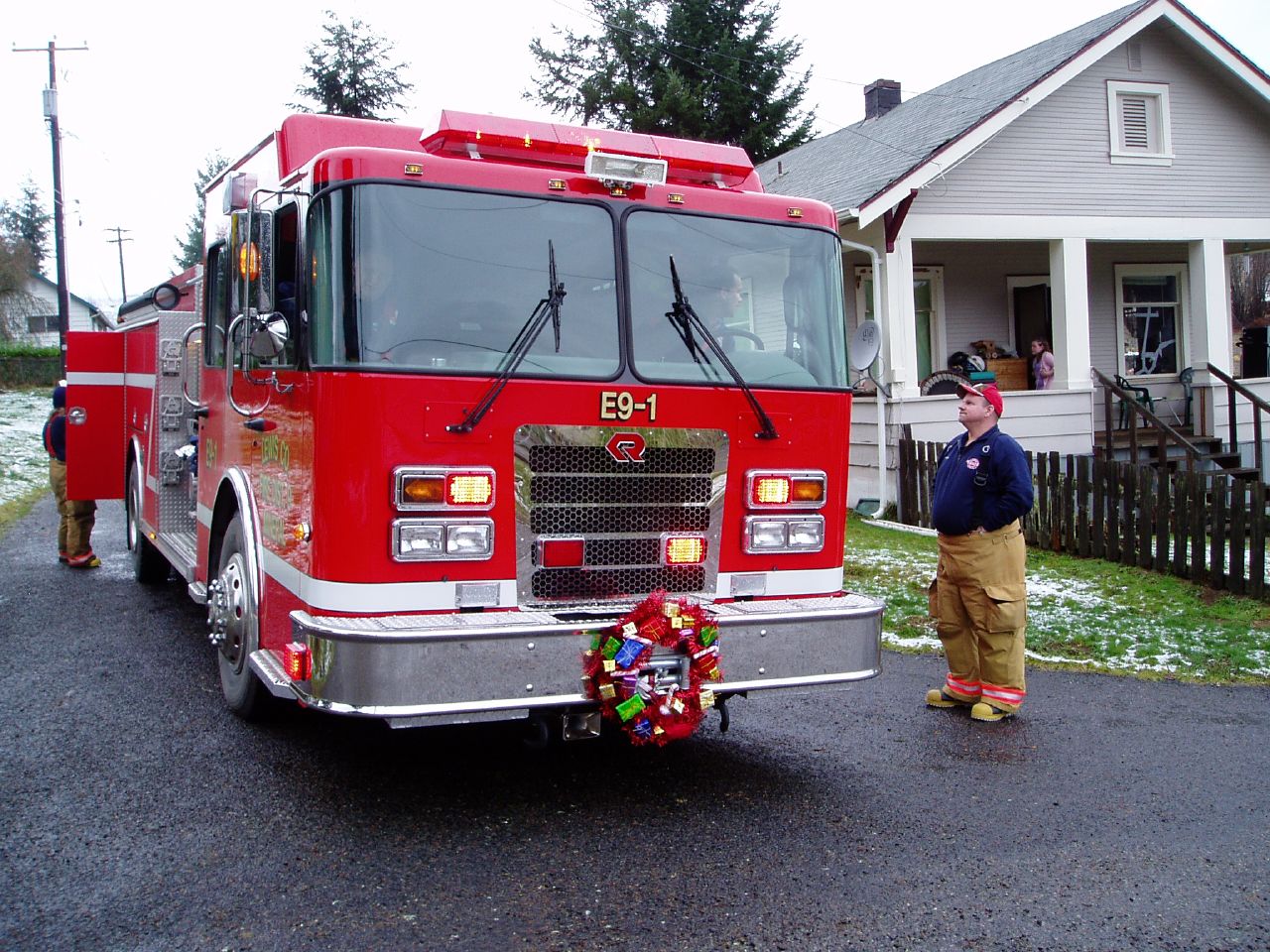
Fire truck, front view
Light over Eatonville I
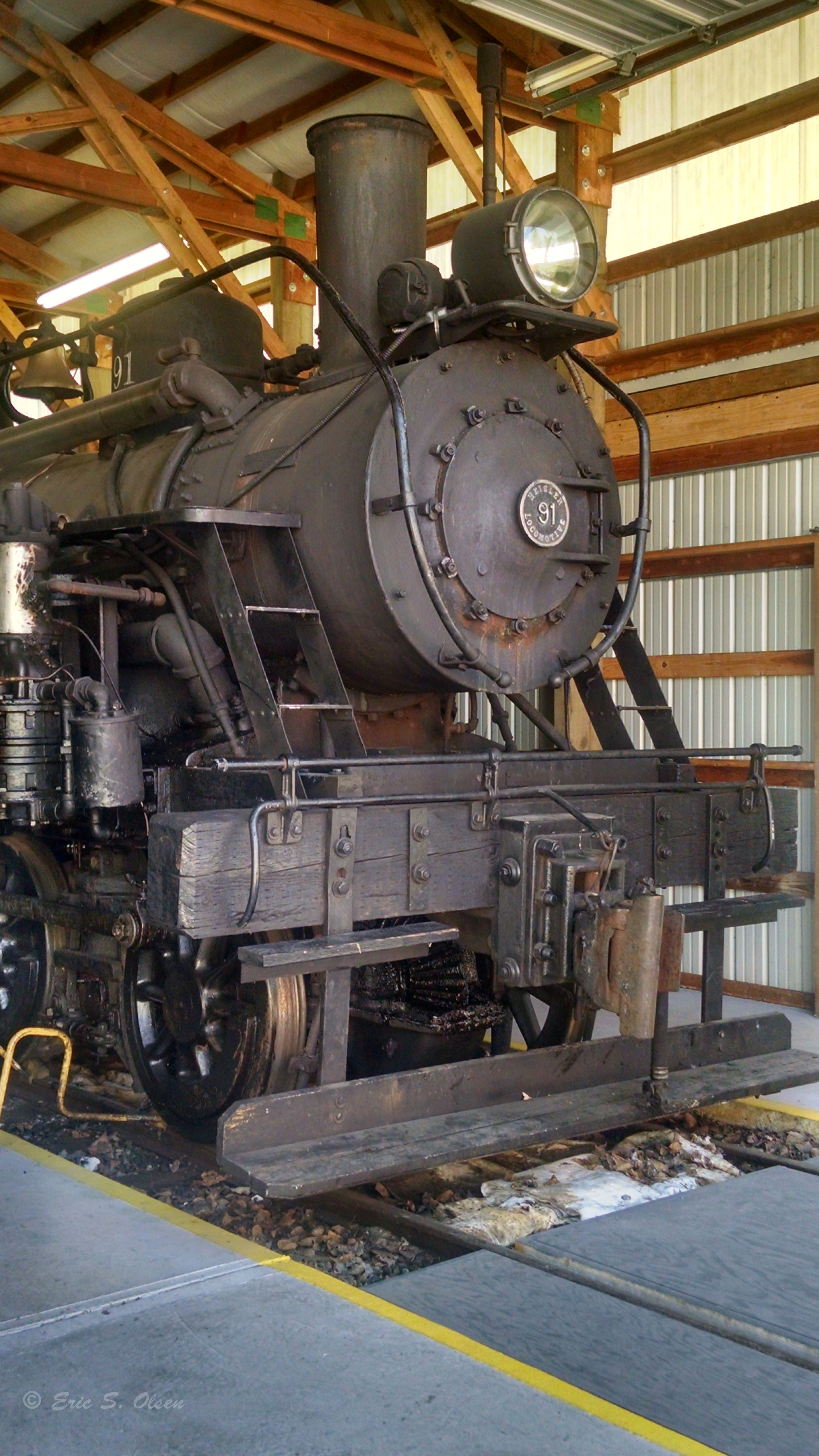
MRSRR Heisler Locomotive #91 front quarter view
Light over Eatonville II

Moment of victory
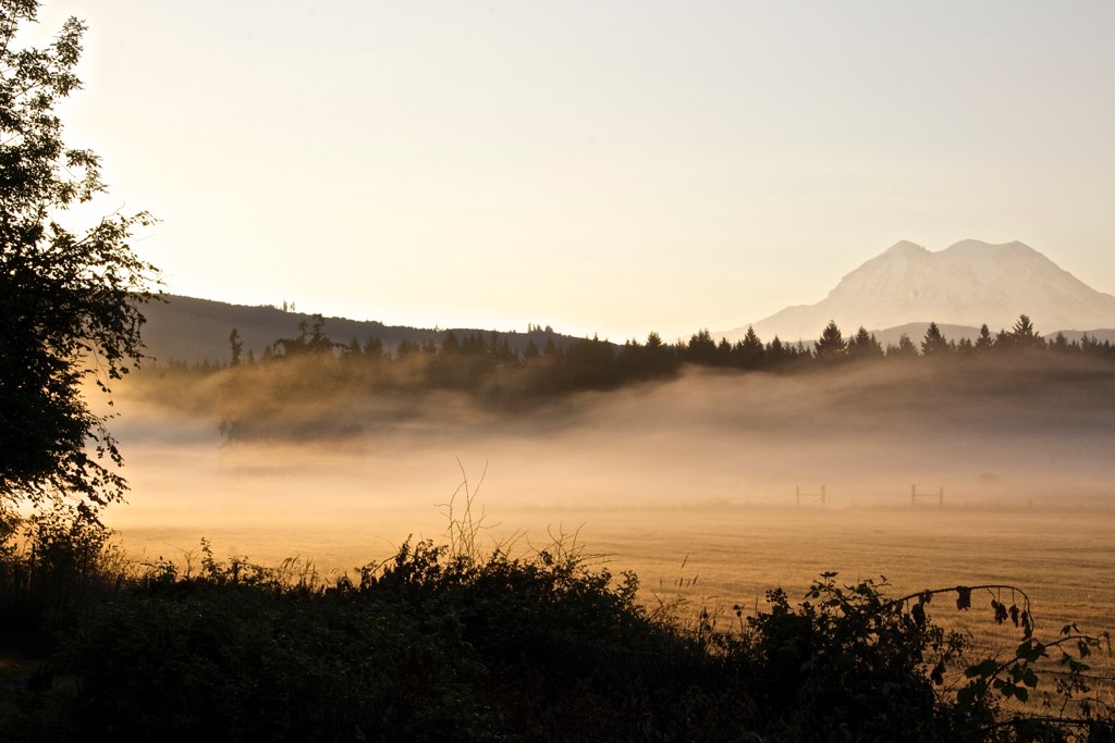
A Roadside View to Mount Rainier

Alder Dam
Mount Rainier
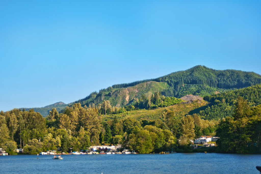
Mineral Lake
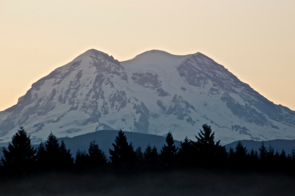
Mt. Rainier 3
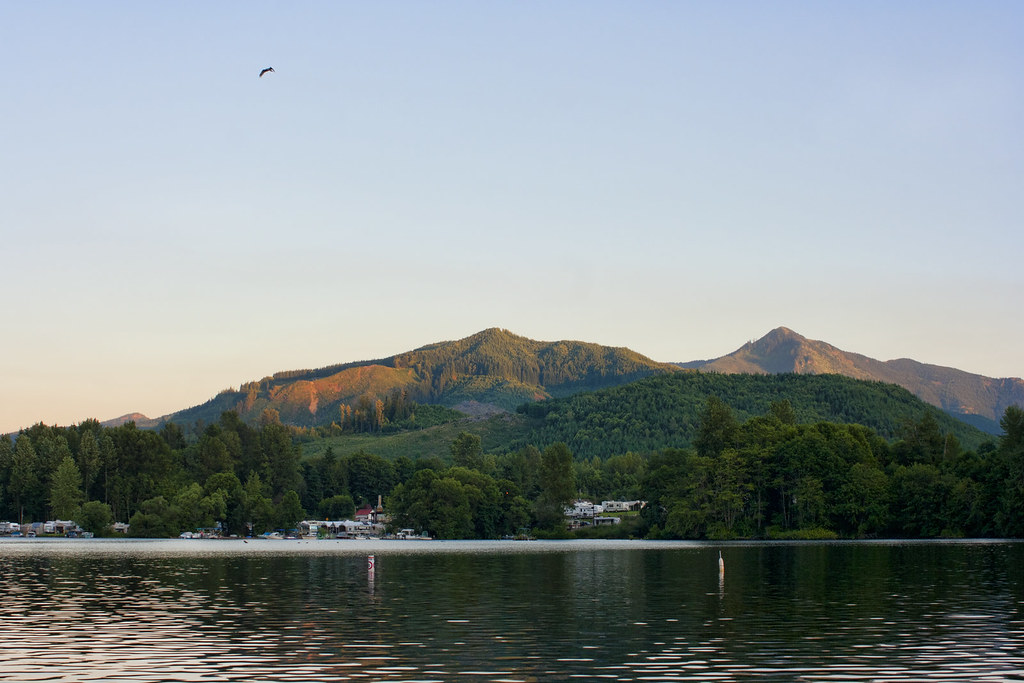
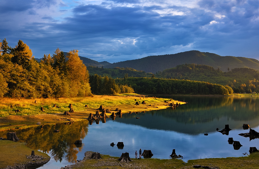
Mineral Lake

Leaping shadows
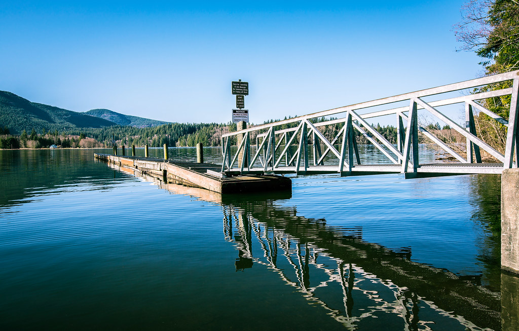
Mineral Lake Boat Launch
Siri-ously beautiful
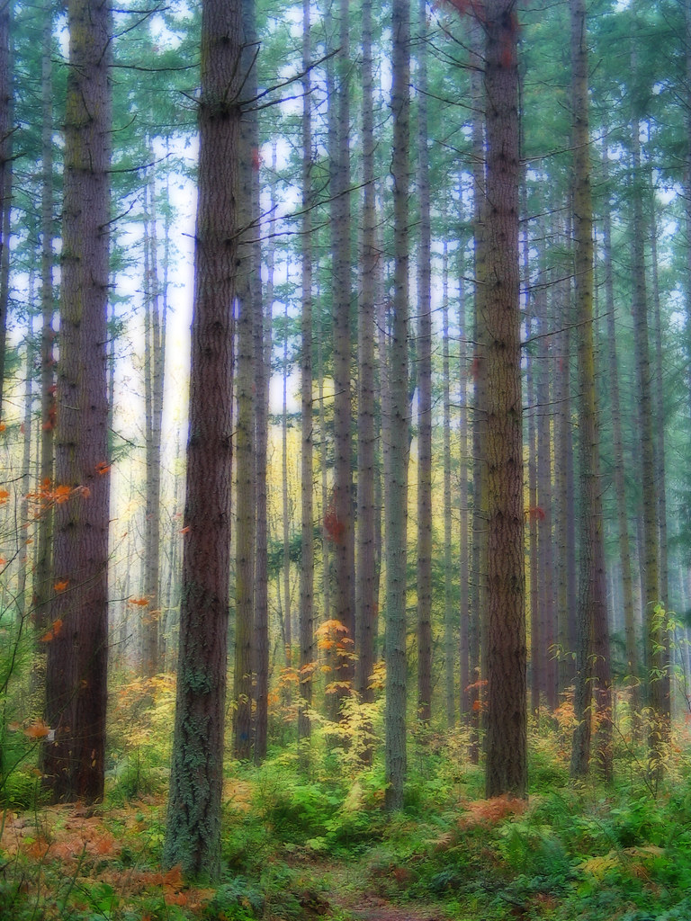
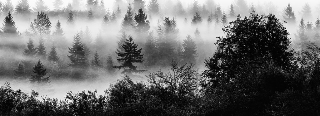
foggy morning
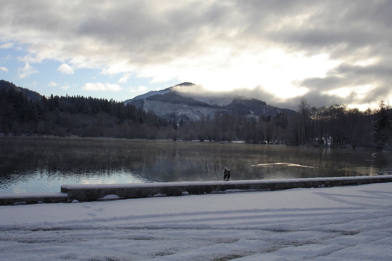
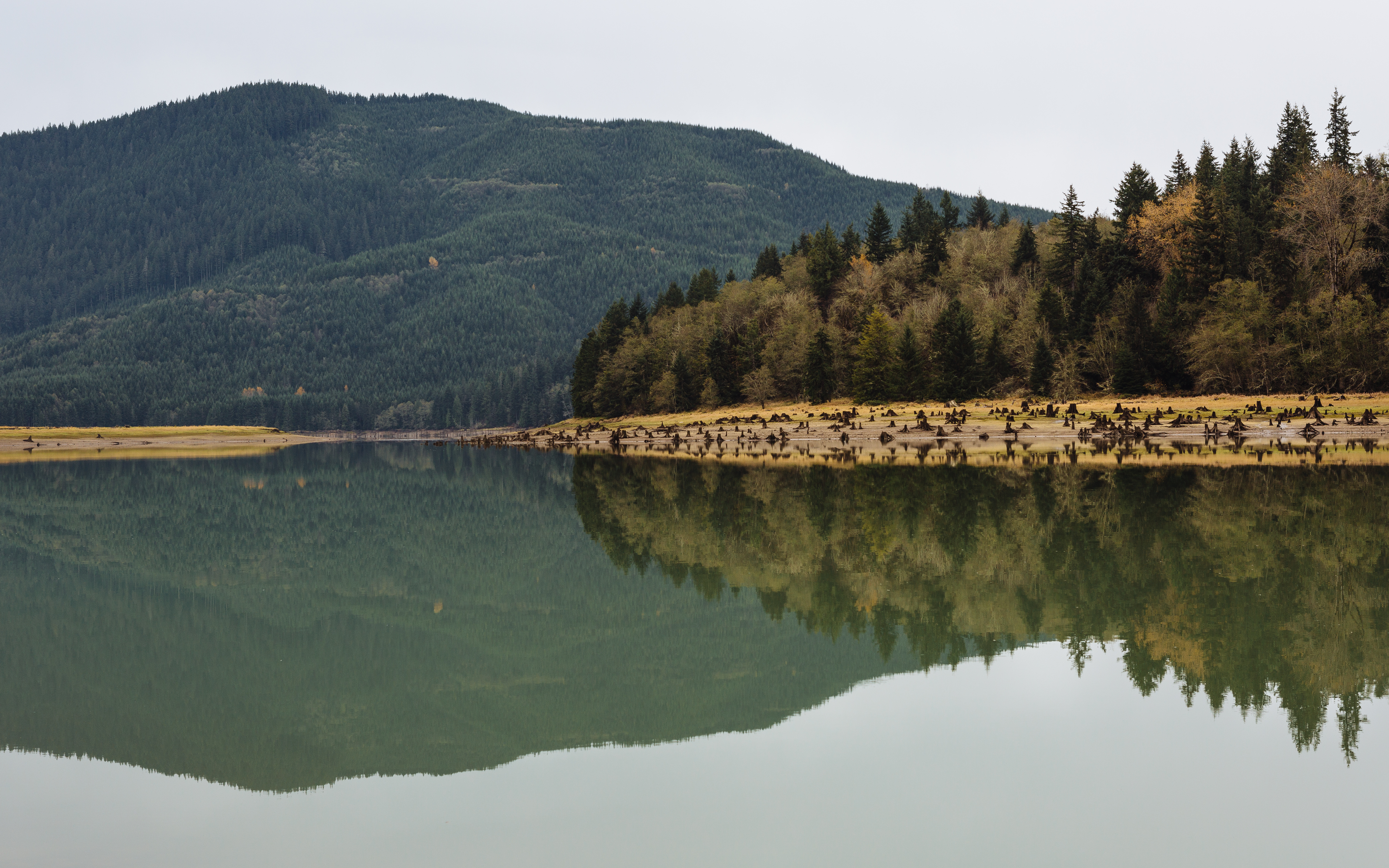
Alder Lake Reflections
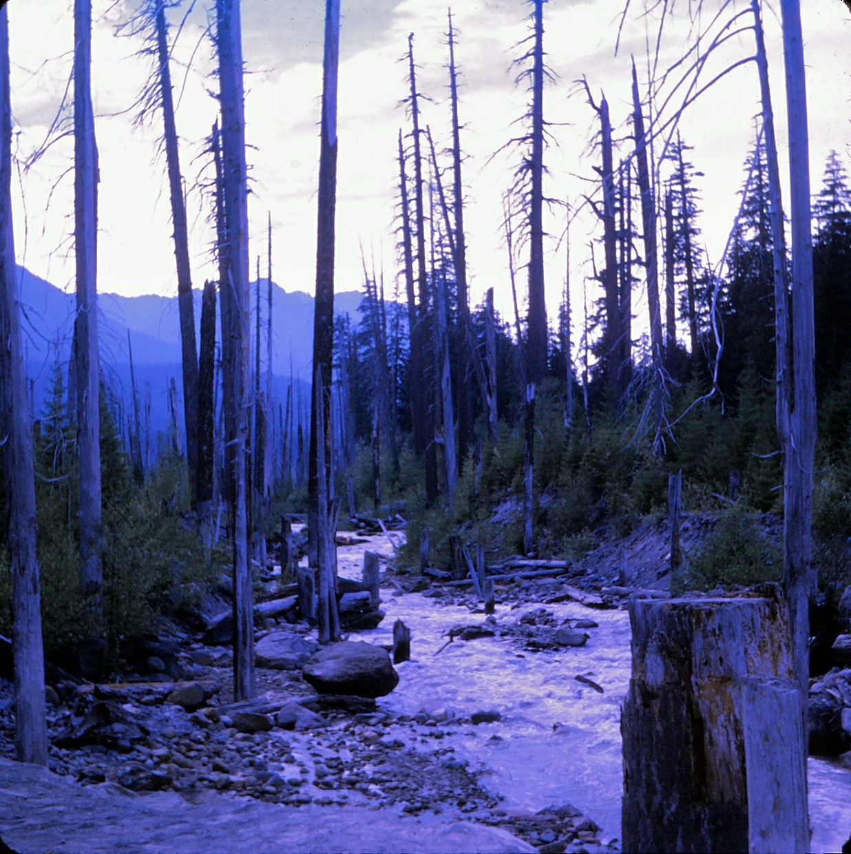
Washington - Mt. Rainier National Park - Kautz Flood Exhibit - September 1970
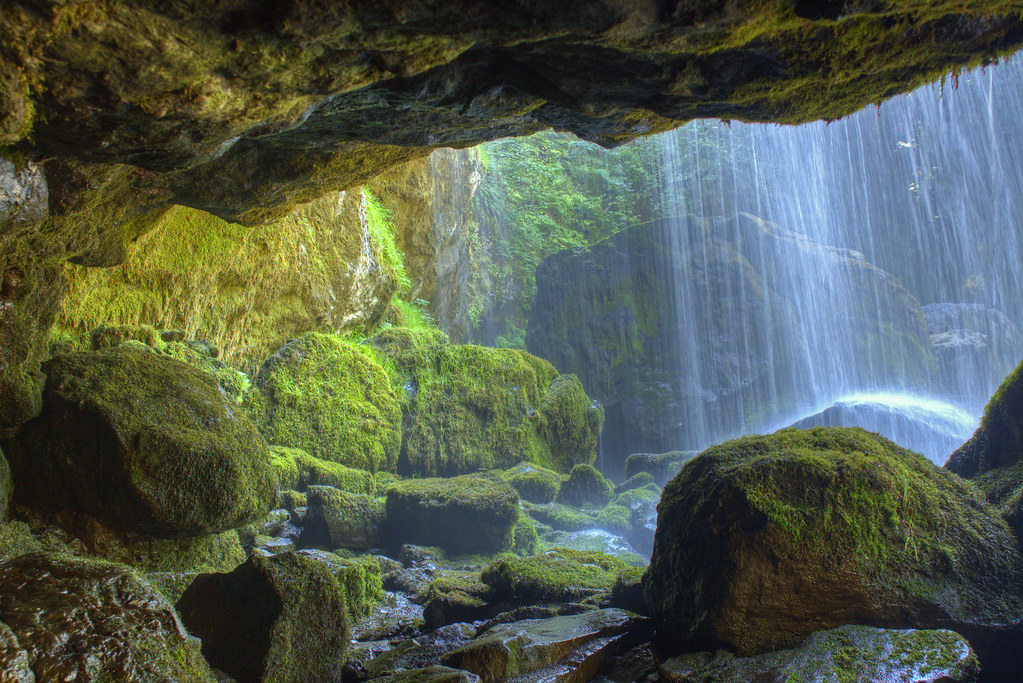
from behind Middle Falls of Little Mashel
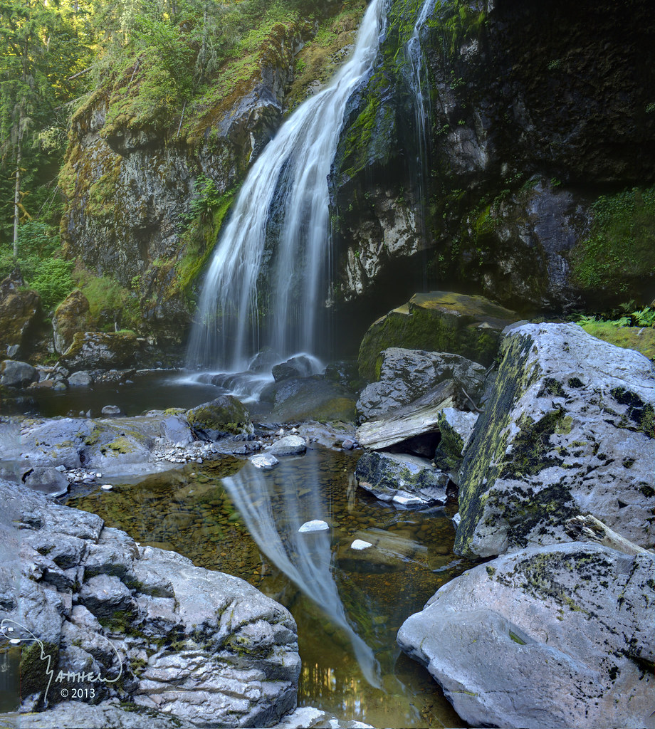
Lower Little Mashel Falls
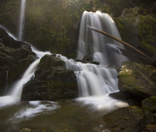
Little Mashel Middle Falls
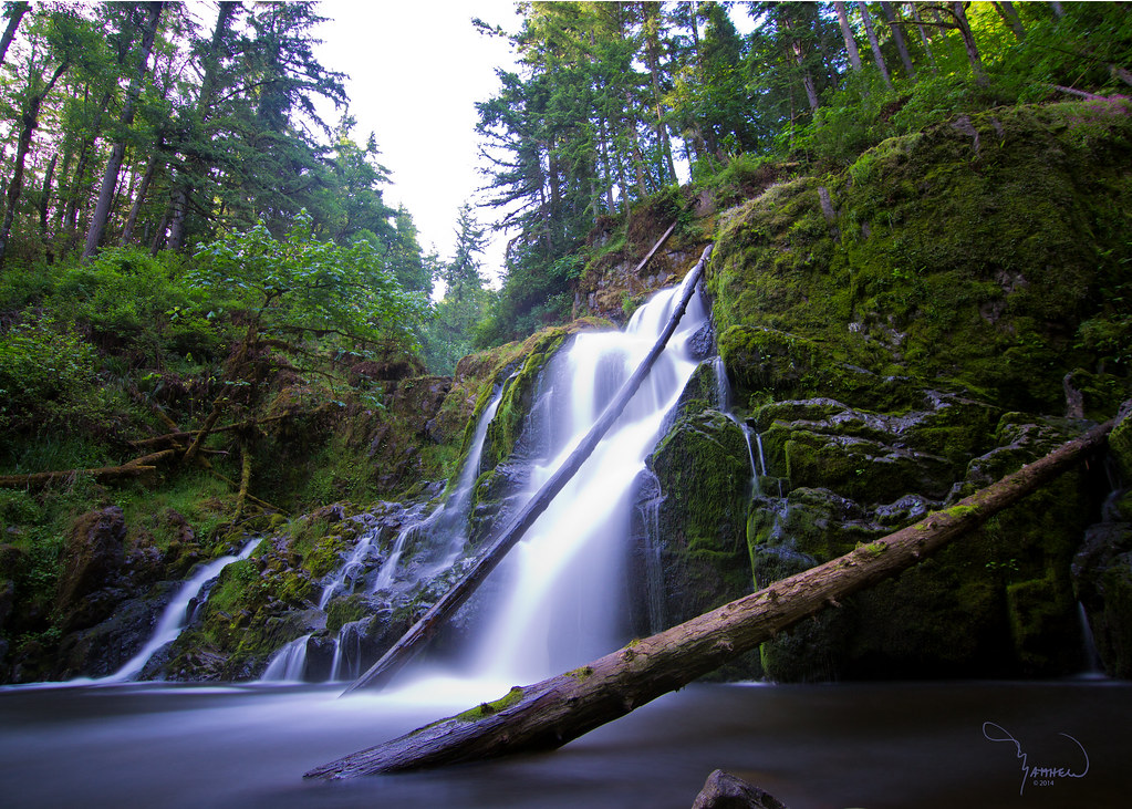
Little Mashel Falls
From behind Little Mashel middle falls

Little Mashel Middle Falls Terra/Water LE masked
Fallen Logs
Lower Little Mashel Falls
Middle Falls reflected
On One Of Those Cloudy Days
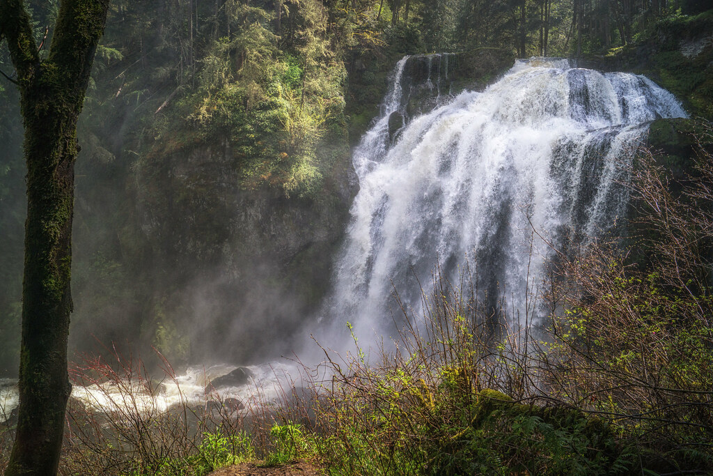
Middle Mashel
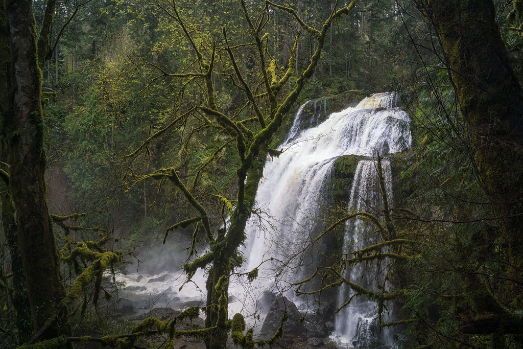
Middle Child
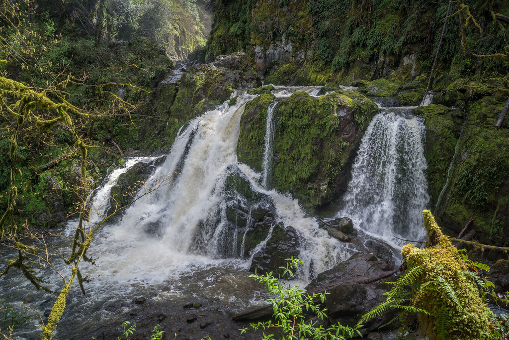
Lower Mashel

Trunkated Waters

Mt St Helens
Topographic Map of Rainier Vista Dr, Mineral, WA, USA
Find elevation by address:

Places near Rainier Vista Dr, Mineral, WA, USA:
Elbe
353 Pleasant Valley Rd
616 Pleasant Valley Rd #50
49816 146th Ave E
49706 146th Ave E
49708 146th Ave E
532nd Street East
55211 265th Ave E
Storm King Mountain
Cemetery Rd E, Eatonville, WA, USA
39019 129th Ave E
300 Center St E
449 Cessna Ct E
201 Center St E
30205 Wa-706
Eatonville
United States Postal Service
Ashford
778 Gracie Ln W
183 Dow Ridge Dr N
Recent Searches:
- Elevation of Corso Fratelli Cairoli, 35, Macerata MC, Italy
- Elevation of Tallevast Rd, Sarasota, FL, USA
- Elevation of 4th St E, Sonoma, CA, USA
- Elevation of Black Hollow Rd, Pennsdale, PA, USA
- Elevation of Oakland Ave, Williamsport, PA, USA
- Elevation of Pedrógão Grande, Portugal
- Elevation of Klee Dr, Martinsburg, WV, USA
- Elevation of Via Roma, Pieranica CR, Italy
- Elevation of Tavkvetili Mountain, Georgia
- Elevation of Hartfords Bluff Cir, Mt Pleasant, SC, USA