Elevation of Ashford, WA, USA
Location: United States > Washington >
Longitude: -122.03094
Latitude: 46.7584413
Elevation: 540m / 1772feet
Barometric Pressure: 95KPa
Elevation Map:
Satellite Map:
Related Photos:
No Opinion
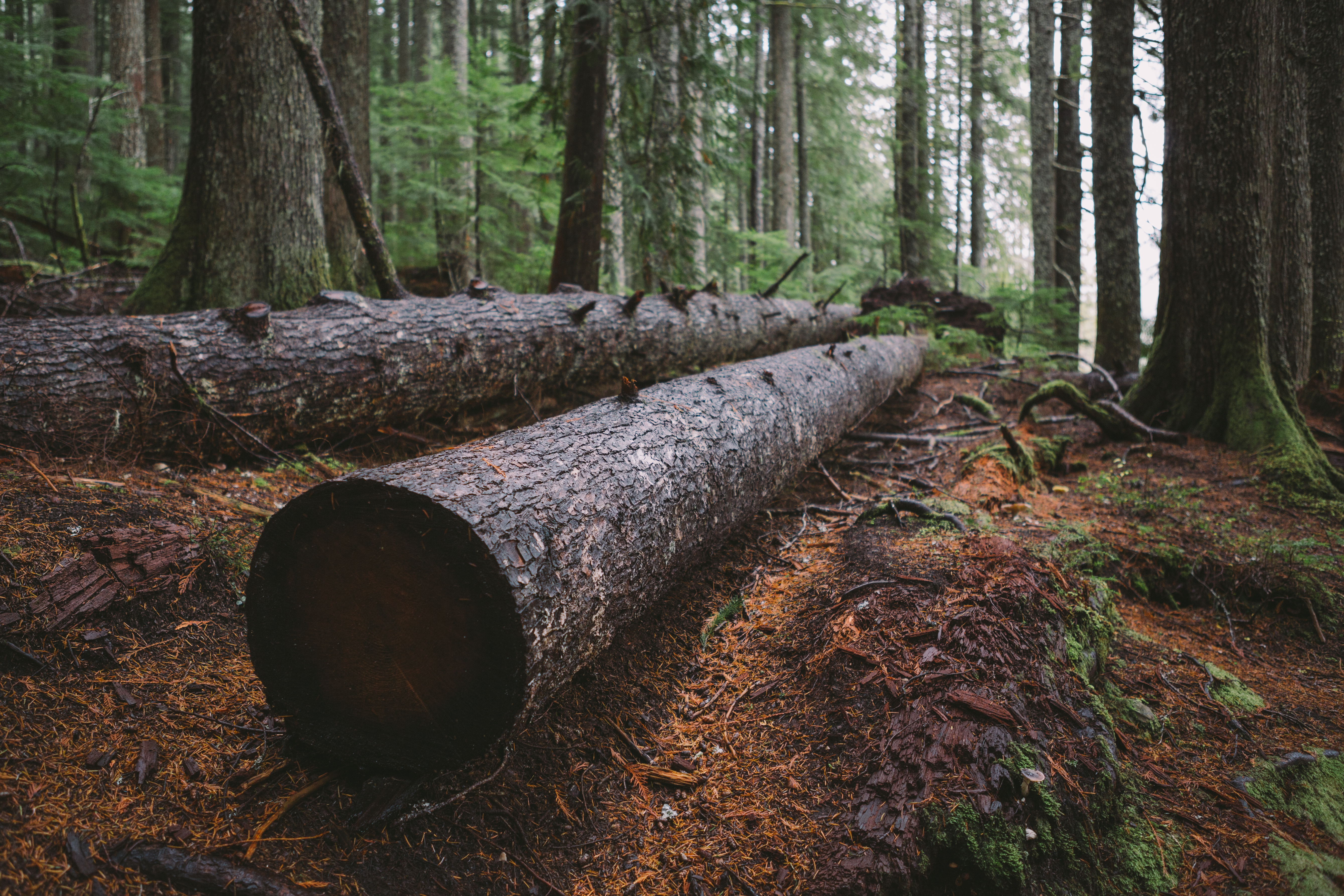
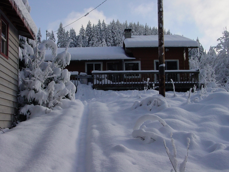
Sleeping Like A Log
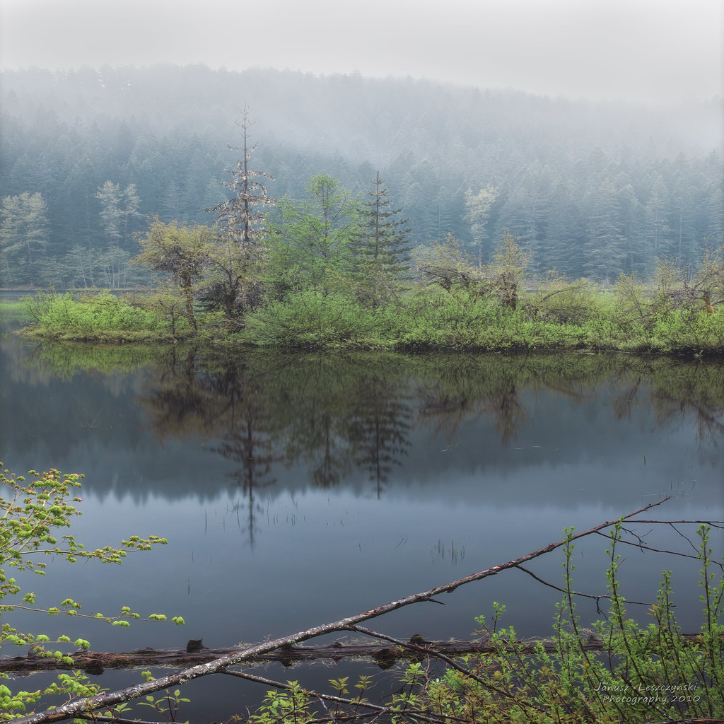
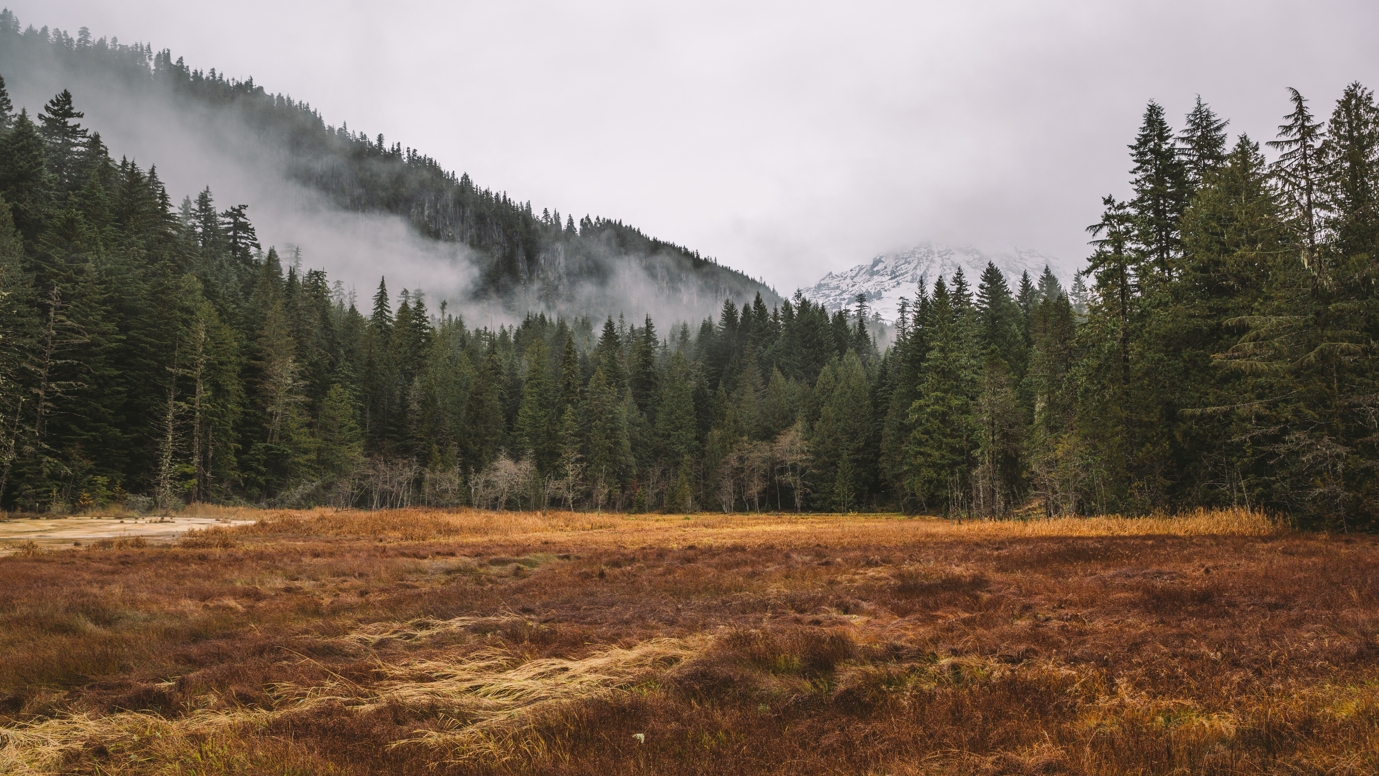
Sometimes it's a wetland , sometimes it's so wet it's a lake

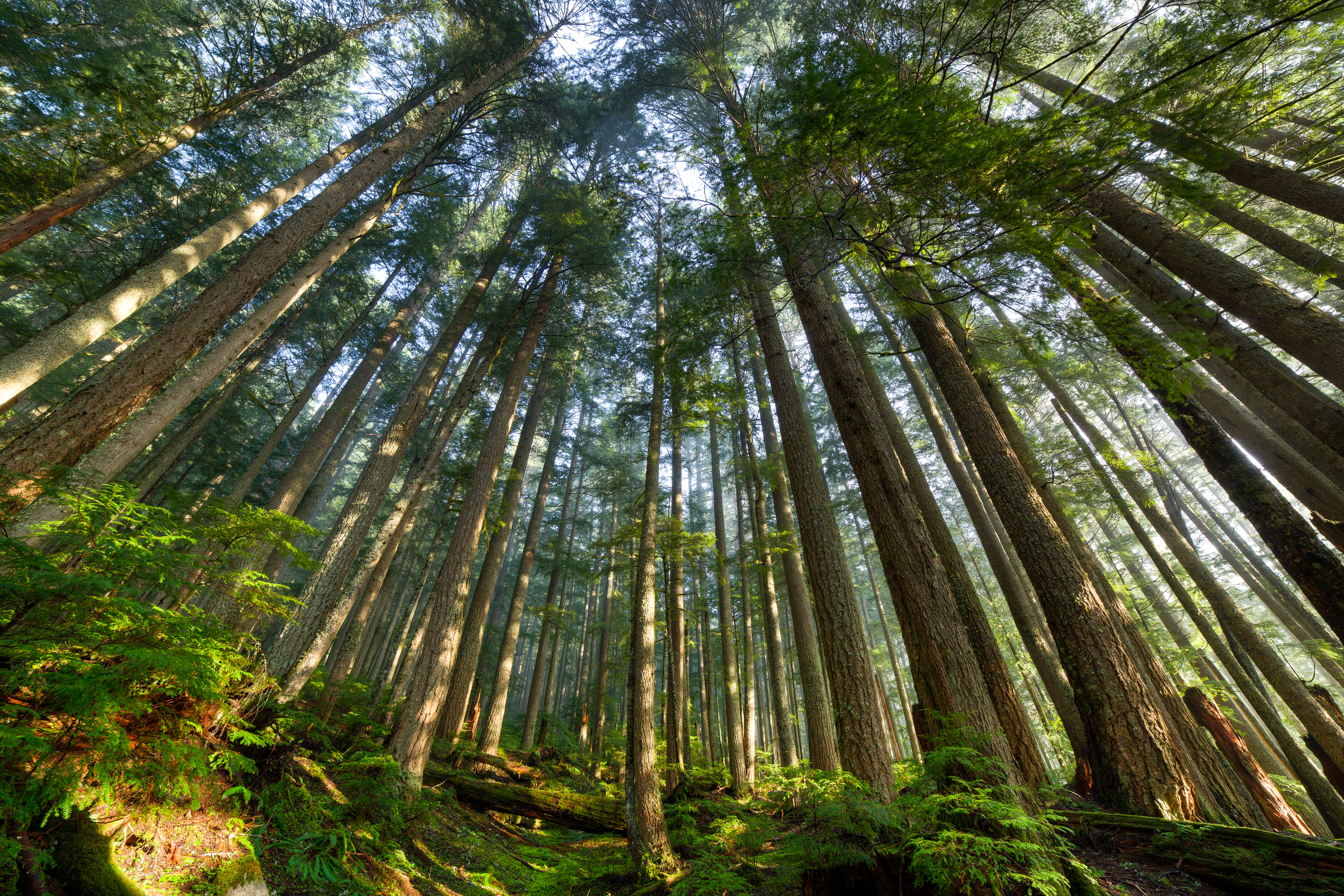
Rain Forest of Mount Rainier
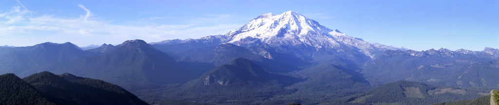
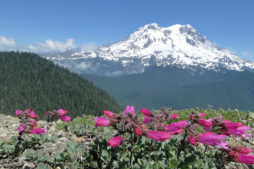
Purple Mountain Majesty

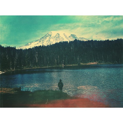
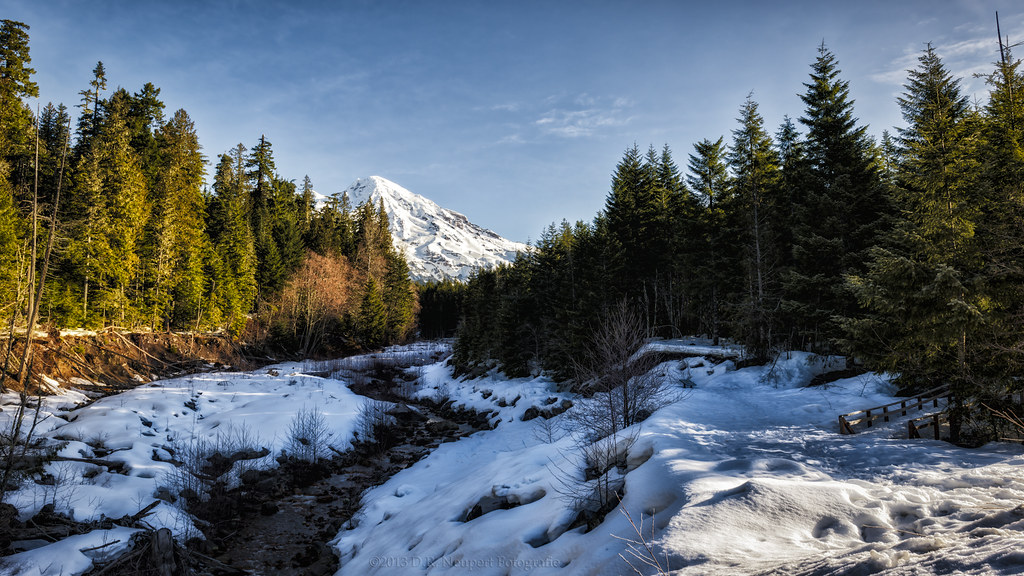
wide angle view of Mt Rainier
DSC01462.JPG

Alder Dam
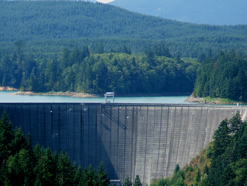
Alder Dam
Mountainside Dance Floor

The Drop

The Forest Scene From An Unfilmed Movie

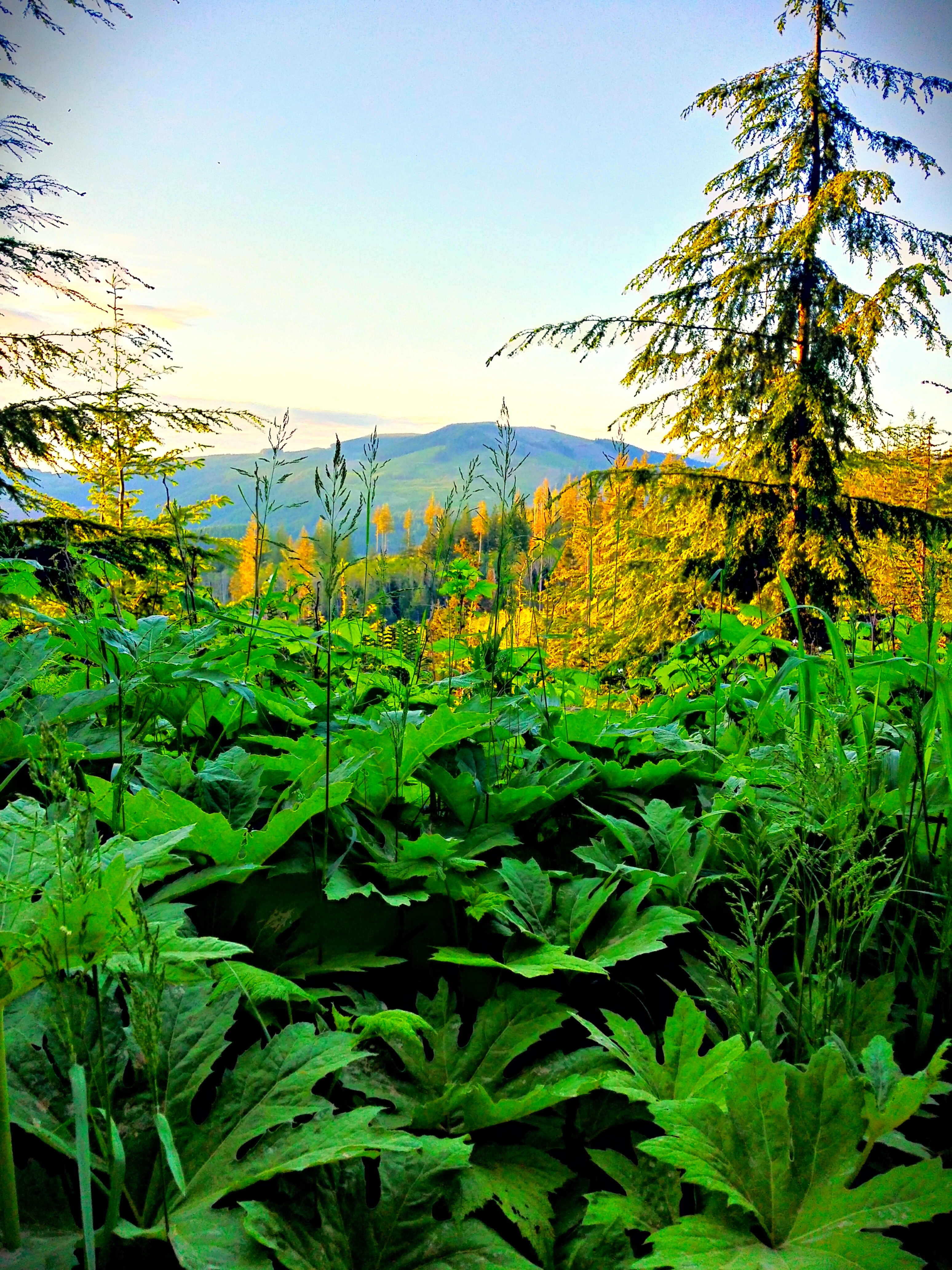
Springtime Forest Paradise
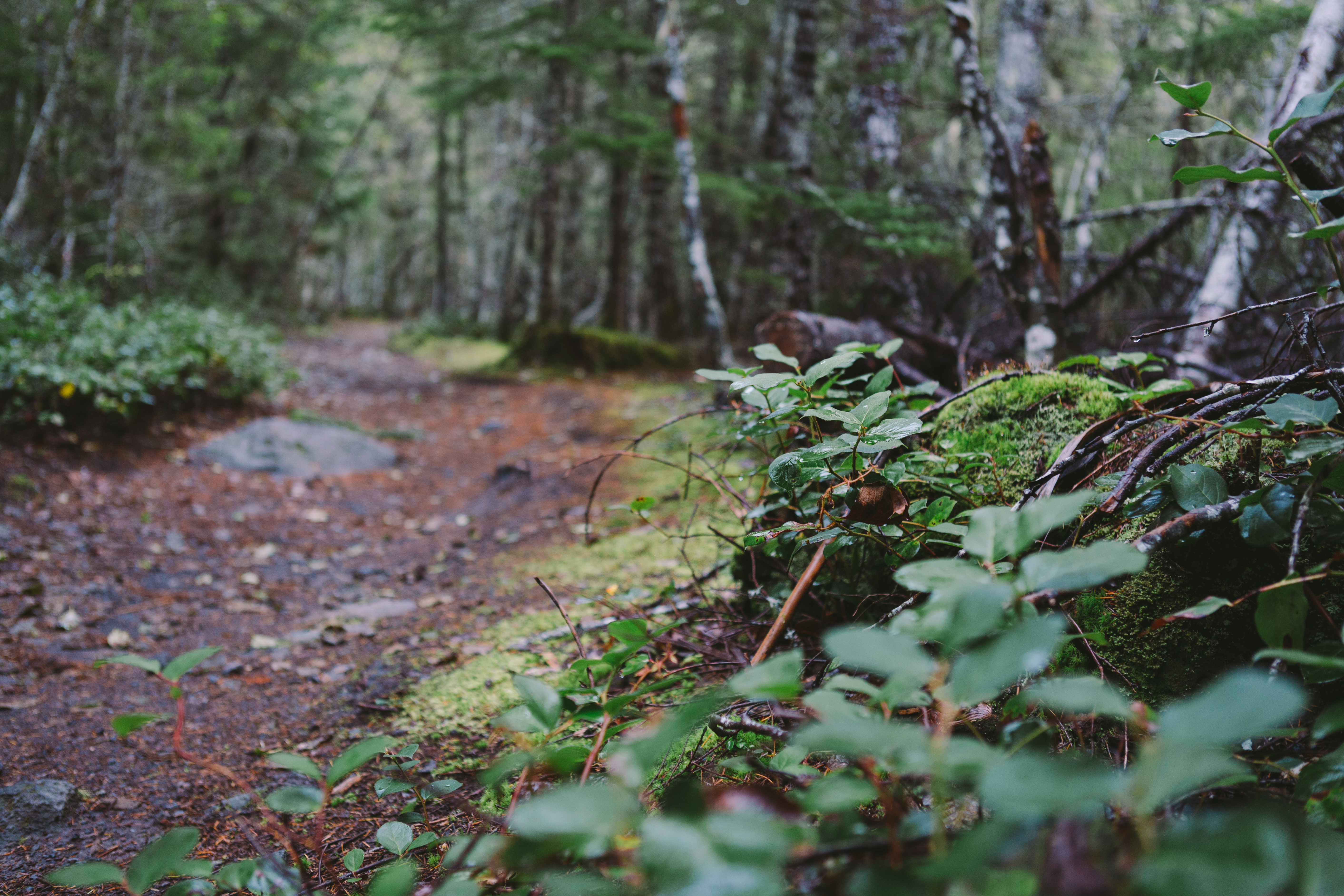
The Path Has Chosen You

View from plane on Seattle to Las Vegas flight

Mt. Ranier - View from plane on Seattle to Las Vegas flight
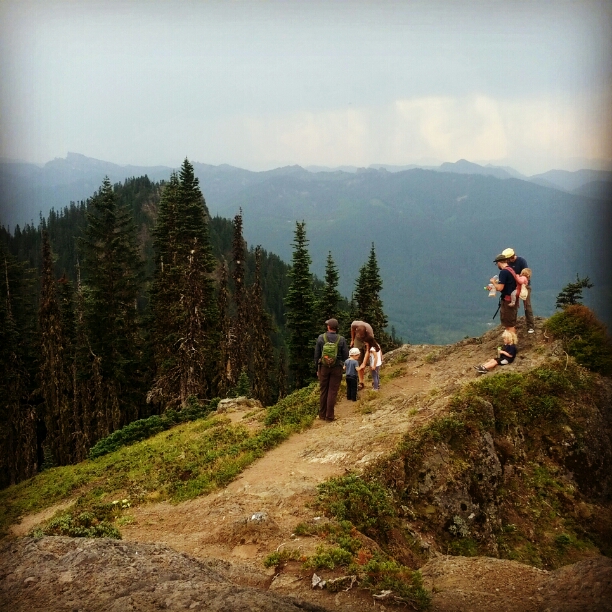
Looking East

DSC02997.JPG
Mt Beljica — Pierce County, Washington

DSC01457.JPG
DSC02998.JPG

The Reveal
Mount Rainier, WA ∞ ↟↟↟↟↟↟ /// #vsco #mextures #vscomextures #vscolove #vsconature #vscogrid #wa #washington #mtrainier #iheartmextures2 #westcoast #liveauthentic
Should be a good spot for Aurora watching
2014-06-29_07-40-44
Kautz Creek, Mt. Rainier

Mount Rainier From Indian Henry's Hunting Ground
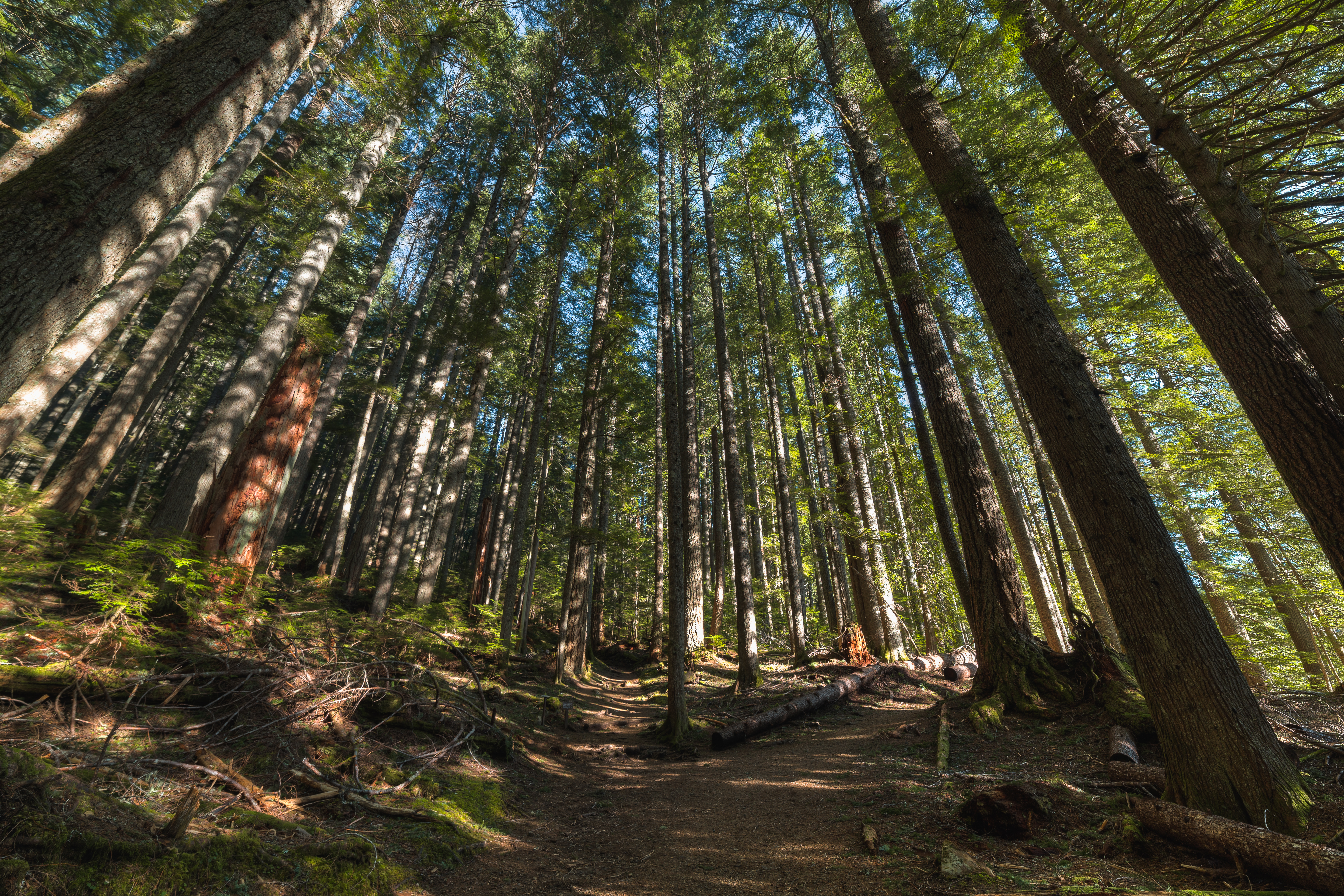
The Forest
High Rock Lookout at Sunset, Gifford Pinchot National Forest, Washington
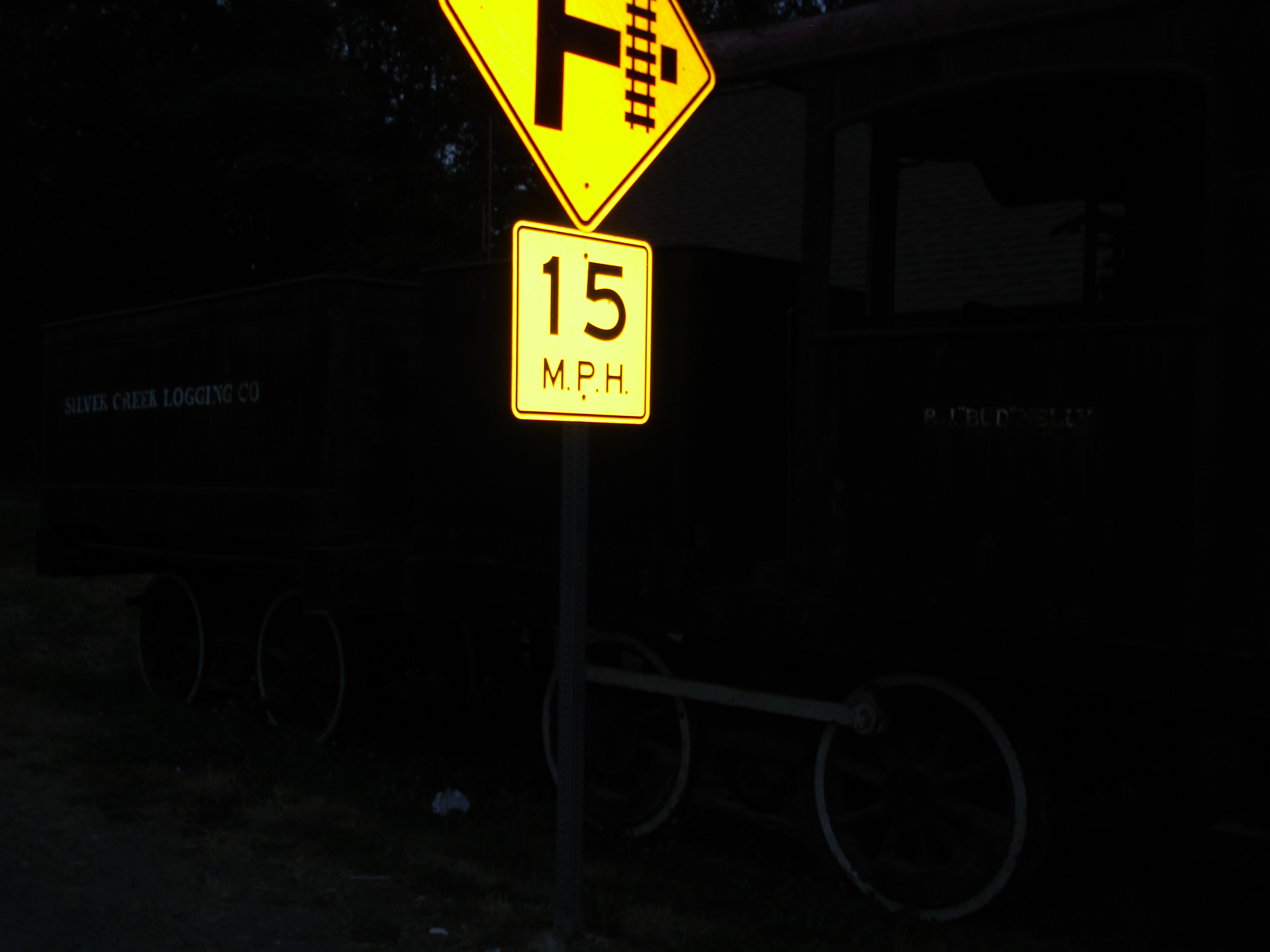
Mt. Rainier Railroad maintenance yard

Remnants Of What Was And Still Is

Nisqually River, Mount Rainier National Park
A wet, but fun trip to Mount Rainier.

073111_186_Mount Rainier

Whereever the road takes me
Topographic Map of Ashford, WA, USA
Find elevation by address:

Places in Ashford, WA, USA:
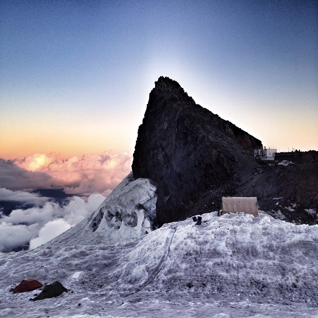
Tokaloo Rock
Glacier Island
Pyramid Peak
Cowlitz Rocks
Little Tahoma Peak
Gibraltar Rock
Point Success
Anvil Rock
Liberty Cap
Steamboat Prow
Burroughs Mountain
Goat Island Mountain
Antler Peak
Skyscraper Mountain
Old Desolate
Mount Fremont
Dege Peak
Marcus Peak
Scarface
Little Africa
Panorama Point
Paradise-Longmire Rd, Ashford, WA, USA
Mount Rainier
National Forest Development Road 84
Tolmie Peak
Summer Land
Liberty Cap Glacier
Panhandle Gap
Sourdough Mountains
Places near Ashford, WA, USA:
30205 Wa-706
Elbe
49706 146th Ave E
49816 146th Ave E
49708 146th Ave E
532nd Street East
39019 129th Ave E
449 Cessna Ct E
300 Center St E
201 Center St E
Eatonville
United States Postal Service
Cemetery Rd E, Eatonville, WA, USA
778 Gracie Ln W
183 Dow Ridge Dr N
Campbell Lane East
La Grande
9010 453rd St E
9320 Ohop Valley-extension Rd E
9107 Ohop Valley Rd E
Recent Searches:
- Elevation of Corso Fratelli Cairoli, 35, Macerata MC, Italy
- Elevation of Tallevast Rd, Sarasota, FL, USA
- Elevation of 4th St E, Sonoma, CA, USA
- Elevation of Black Hollow Rd, Pennsdale, PA, USA
- Elevation of Oakland Ave, Williamsport, PA, USA
- Elevation of Pedrógão Grande, Portugal
- Elevation of Klee Dr, Martinsburg, WV, USA
- Elevation of Via Roma, Pieranica CR, Italy
- Elevation of Tavkvetili Mountain, Georgia
- Elevation of Hartfords Bluff Cir, Mt Pleasant, SC, USA