Elevation of Mount Fremont, Mt Fremont, Washington, USA
Location: United States > Washington > Ashford >
Longitude: -121.66481
Latitude: 46.9242751
Elevation: 2098m / 6883feet
Barometric Pressure: 79KPa
Elevation Map:
Satellite Map:
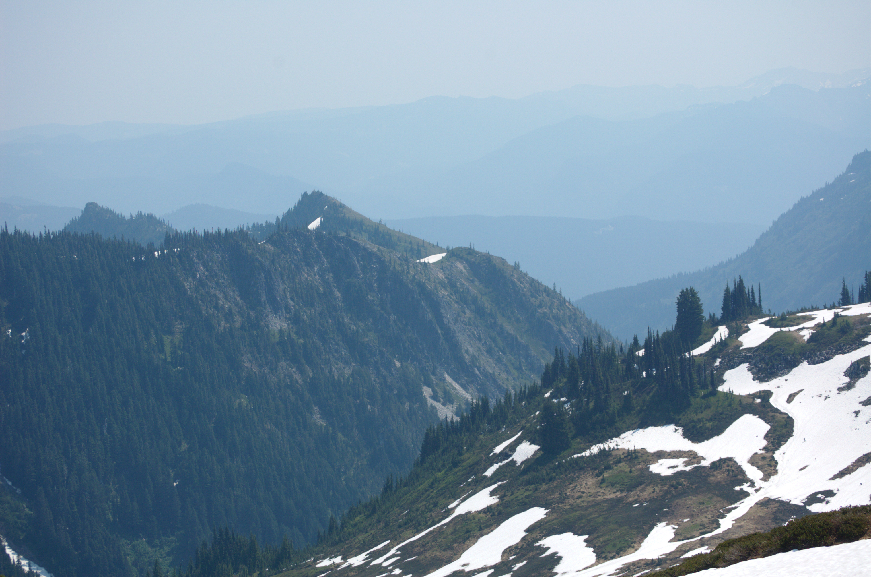
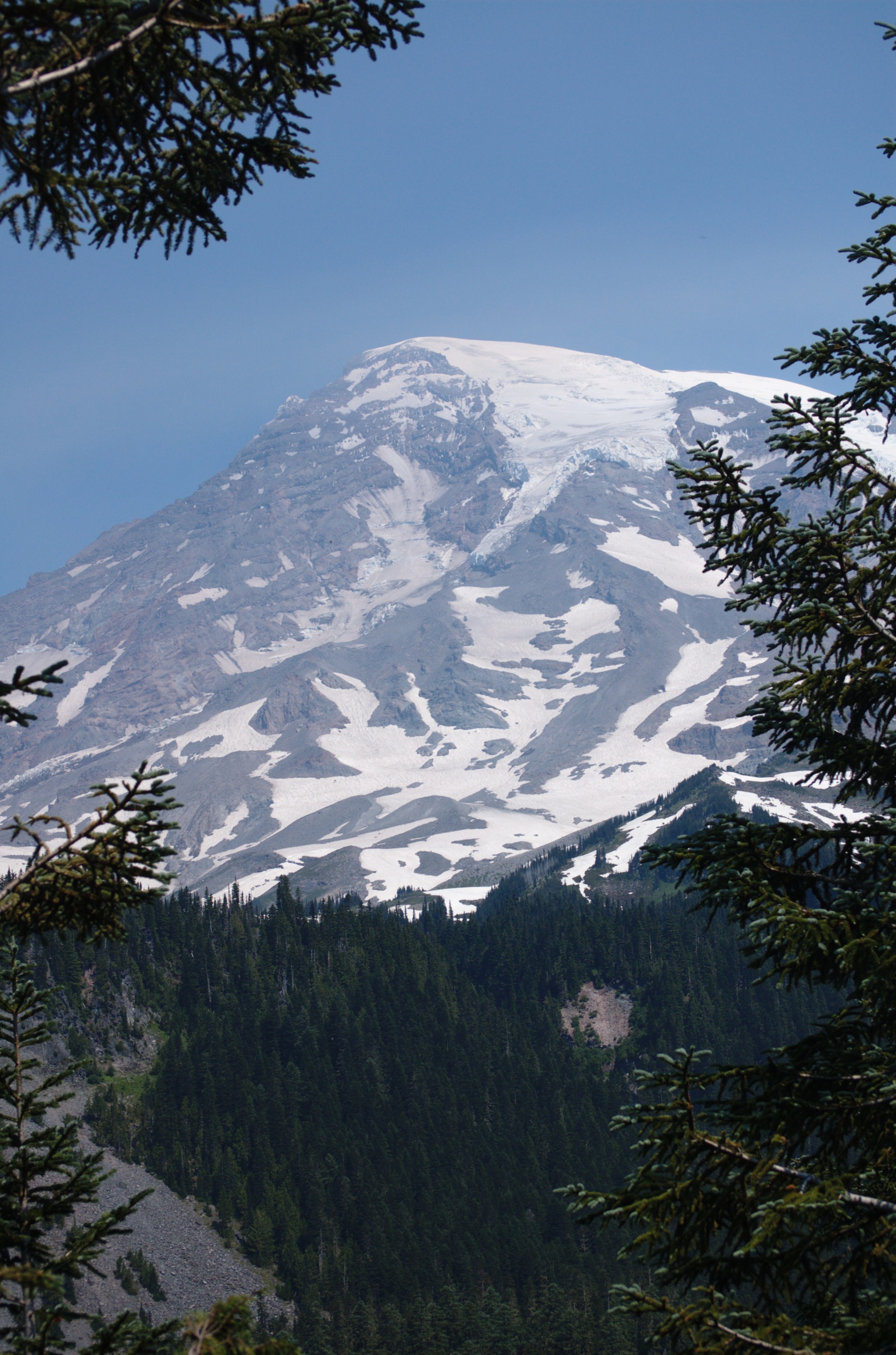
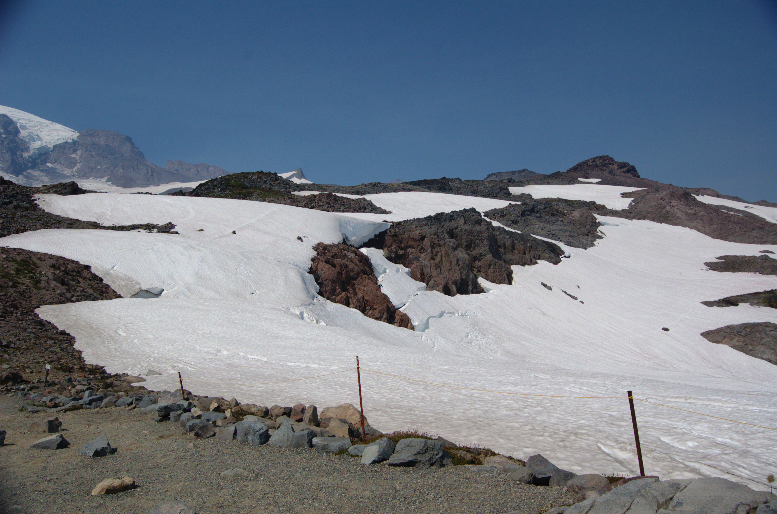
Related Photos:

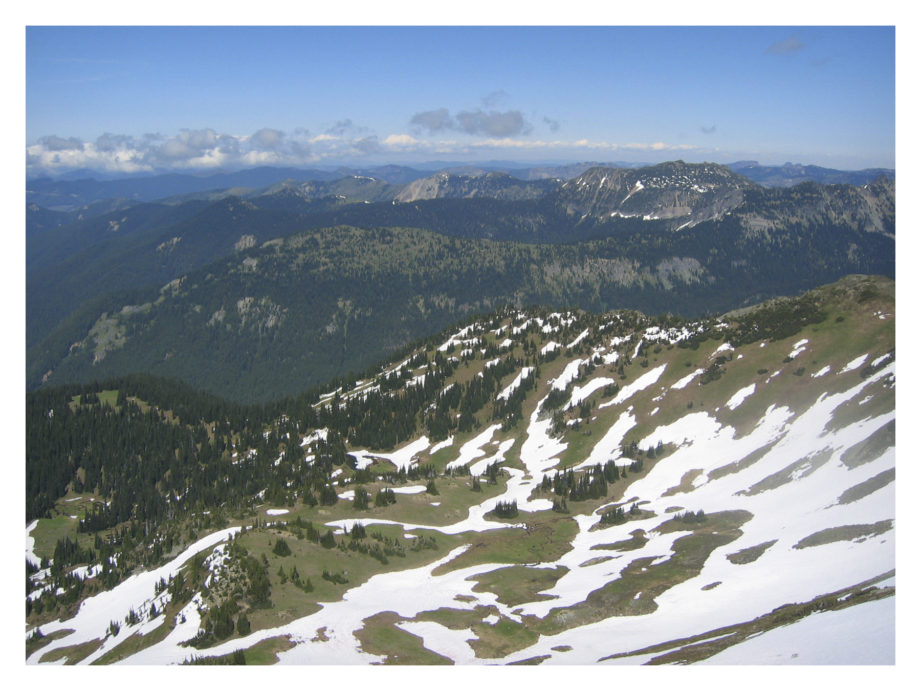
Chinook Pass Morning

A View from the Third Burroughs

Mount Rainier

IMG_6714-20
1987.jpg

1978.jpg

Deck chairs at The Summit
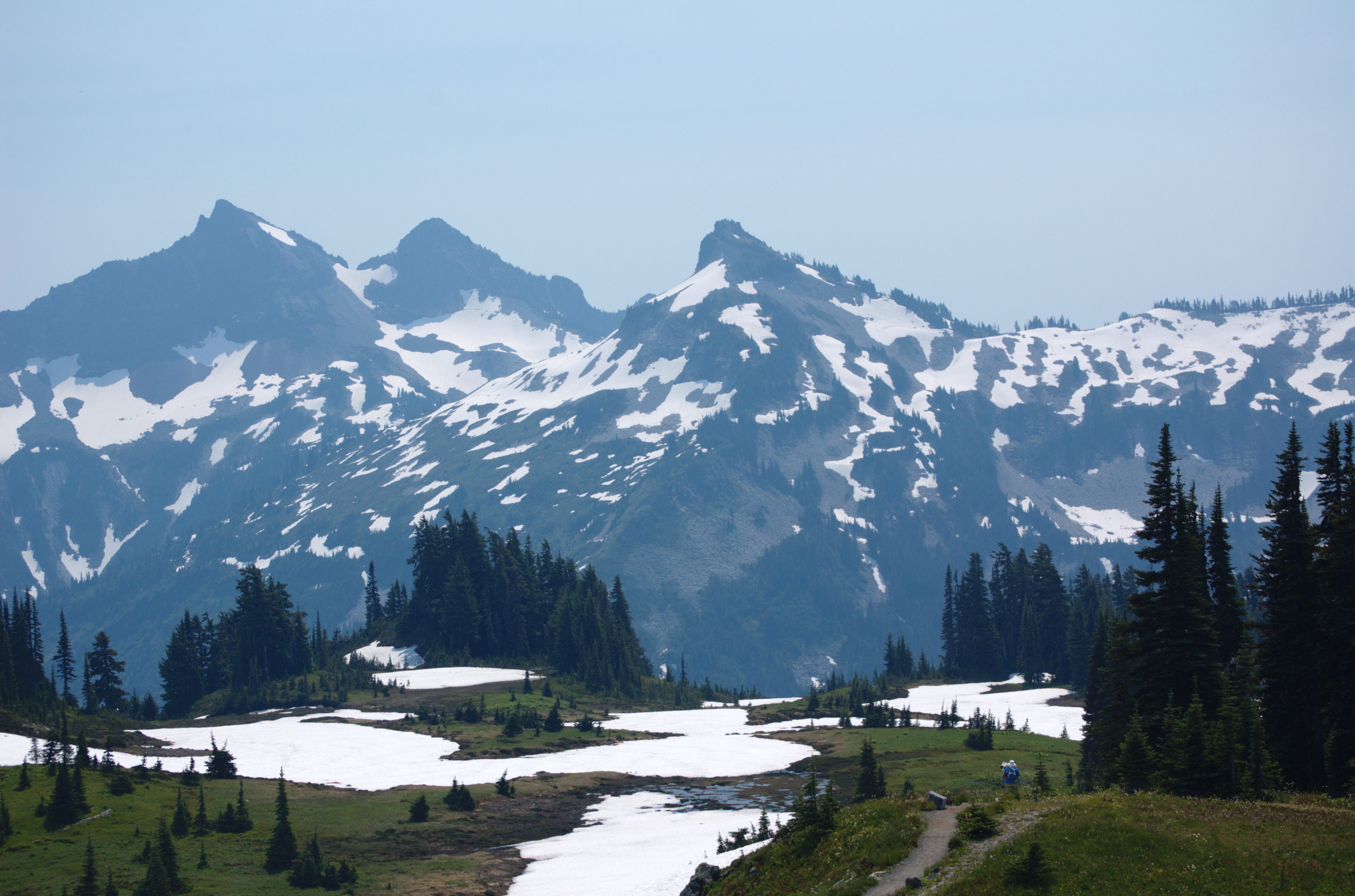
View from Mt Rainer
View from Mt Rainer
View from Mt Rainer
View from Mt Rainer
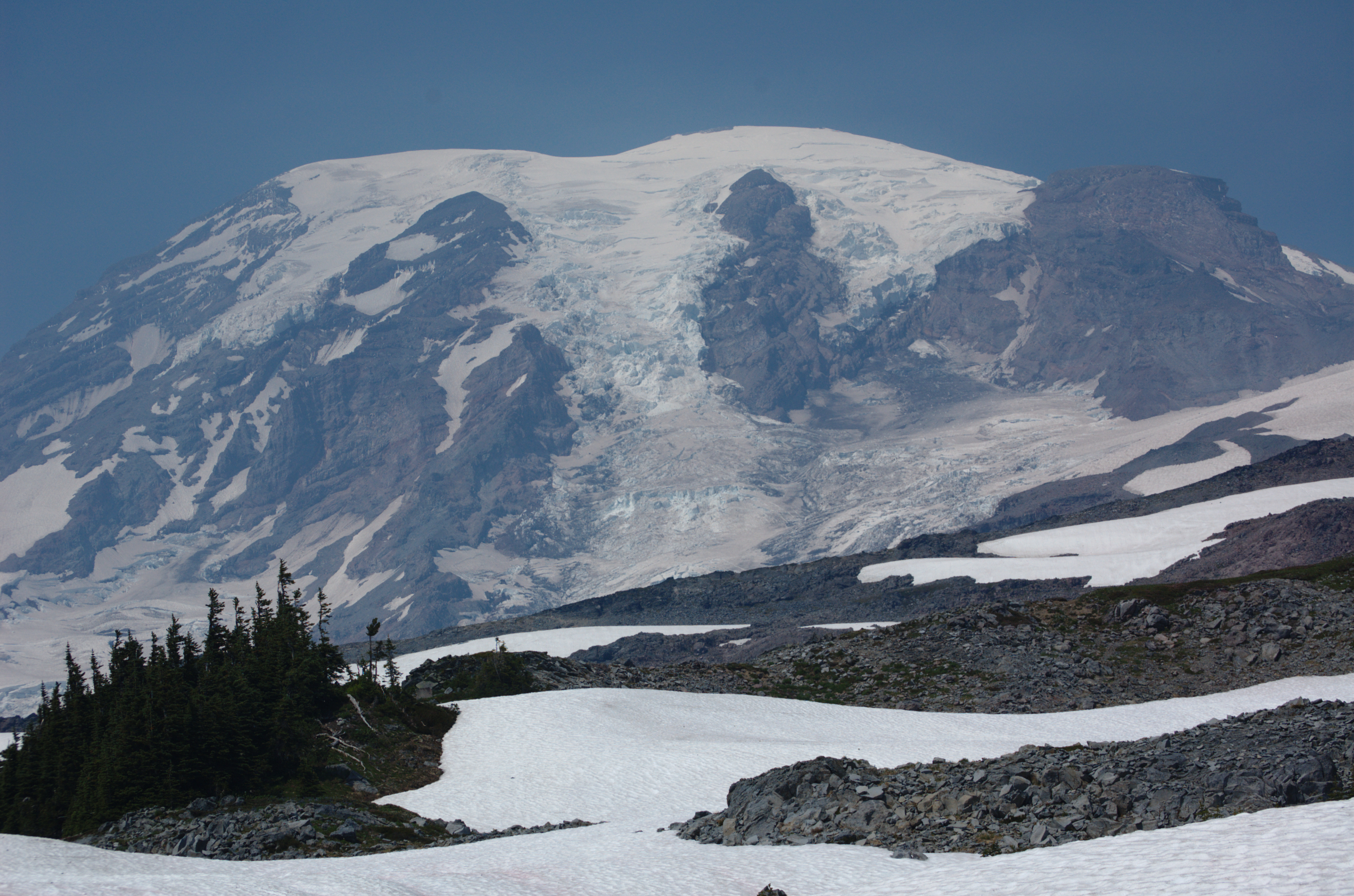
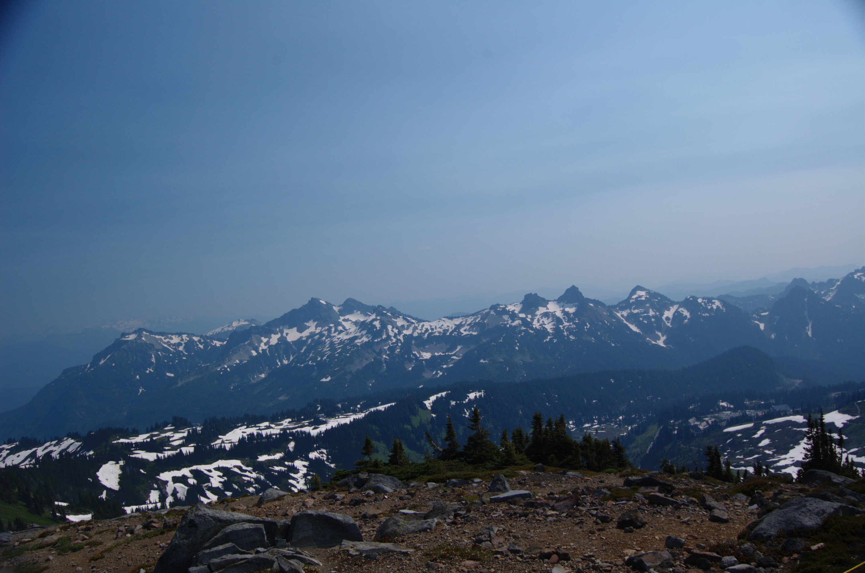
Mt Rainer
Mount Rainer
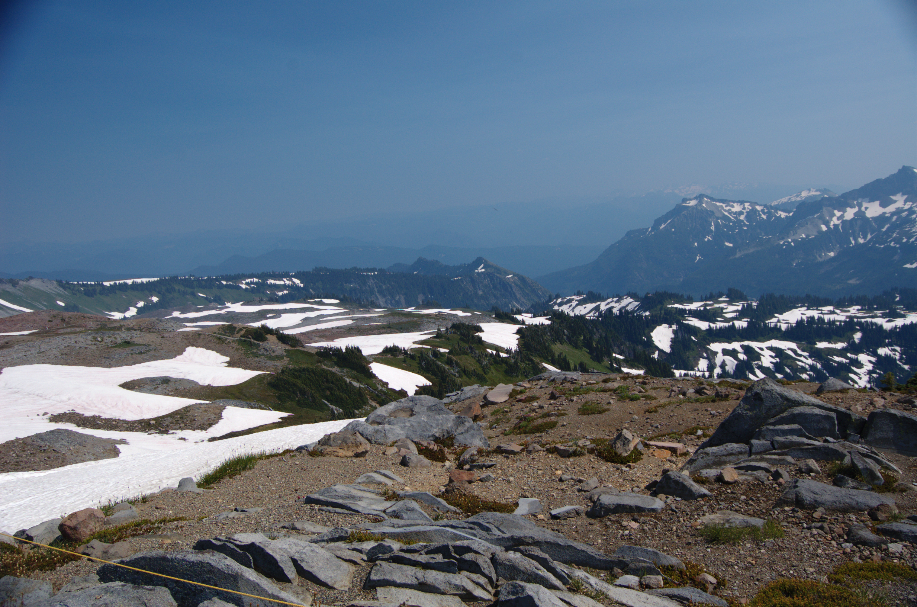
Glacier (Mount Rainier)

Setting into the Mist

Sunset Thunderstorm
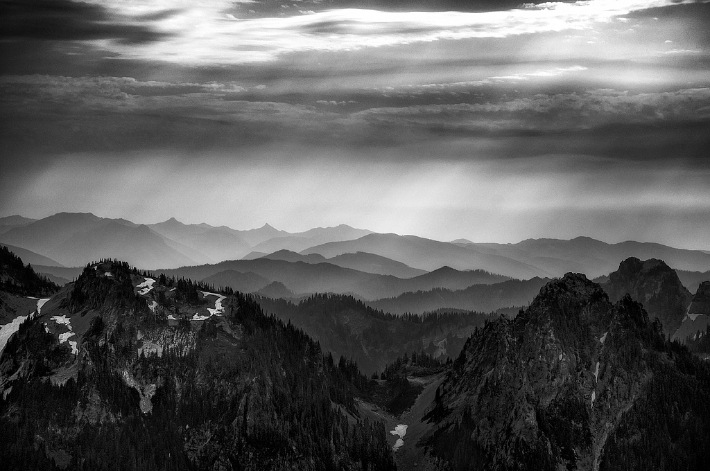
Hazy Layers
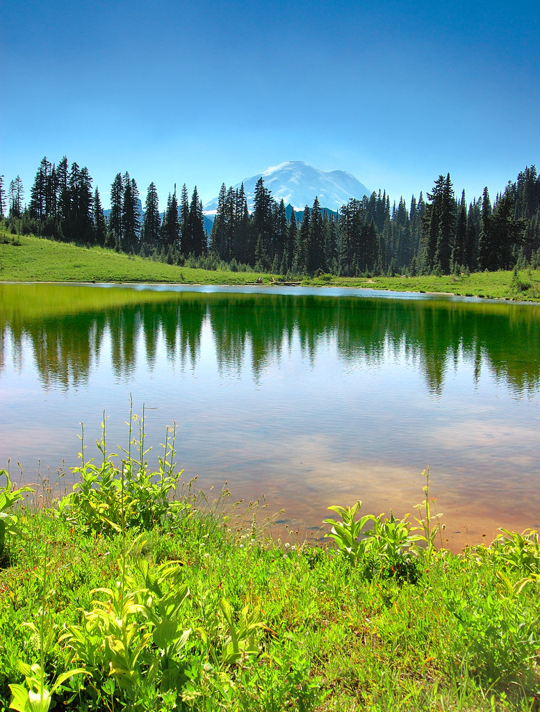
tipsoo reflection
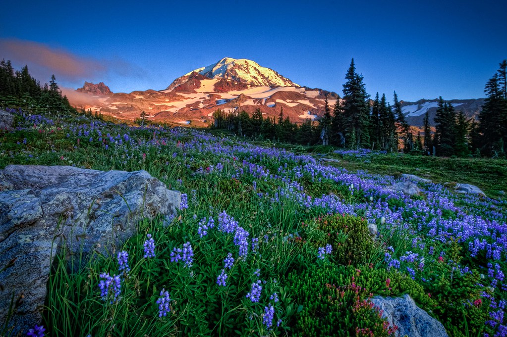
Spray Park Lupine

Lupine at Sunrise

Morning View - Explore
Topographic Map of Mount Fremont, Mt Fremont, Washington, USA
Find elevation by address:

Places near Mount Fremont, Mt Fremont, Washington, USA:
Sunrise
Burroughs Mountain
Skyscraper Mountain
Goat Island Mountain
Summer Land
Panhandle Gap
Mount Rainier National Park
Steamboat Prow
Old Desolate
Little Tahoma Peak
Camp Muir
Gibraltar Rock
Anvil Rock
Cowlitz Rocks
Little Africa
Mount Rainier
Liberty Cap
Point Success
Liberty Cap Glacier
Panorama Point
Recent Searches:
- Elevation of Corso Fratelli Cairoli, 35, Macerata MC, Italy
- Elevation of Tallevast Rd, Sarasota, FL, USA
- Elevation of 4th St E, Sonoma, CA, USA
- Elevation of Black Hollow Rd, Pennsdale, PA, USA
- Elevation of Oakland Ave, Williamsport, PA, USA
- Elevation of Pedrógão Grande, Portugal
- Elevation of Klee Dr, Martinsburg, WV, USA
- Elevation of Via Roma, Pieranica CR, Italy
- Elevation of Tavkvetili Mountain, Georgia
- Elevation of Hartfords Bluff Cir, Mt Pleasant, SC, USA