Elevation of Cemetery Rd E, Eatonville, WA, USA
Location: United States > Washington > Eatonville >
Longitude: -122.29624
Latitude: 46.790886
Elevation: 368m / 1207feet
Barometric Pressure: 97KPa
Elevation Map:
Satellite Map:
Related Photos:
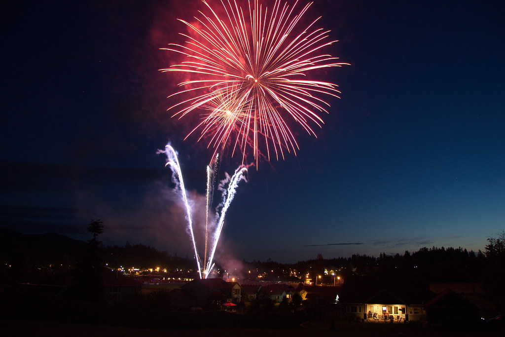
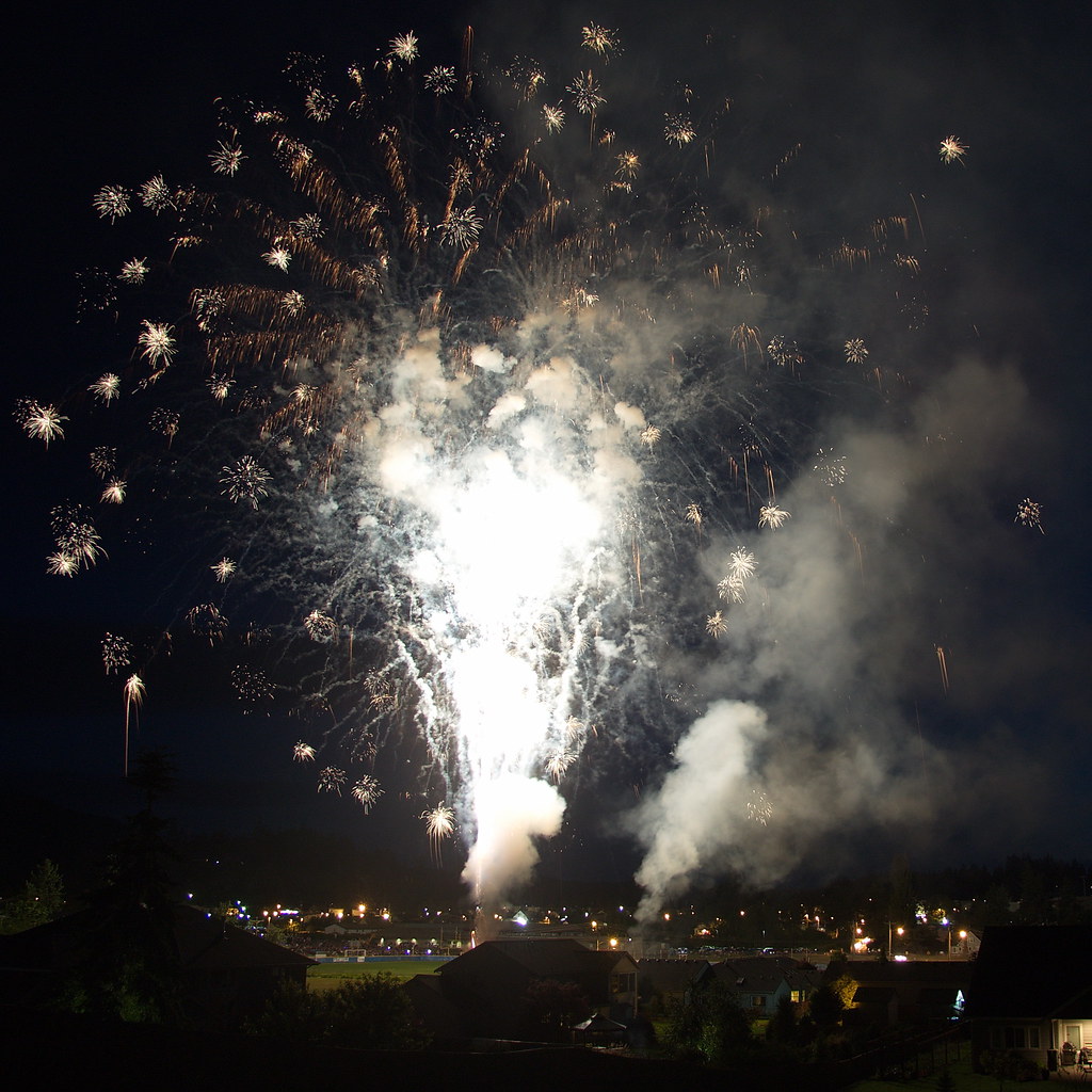
Lakeside Lightshow
Alder Cutoff Road
Day 047/365 - Clear Lake

Cougar (Mountain Lion)
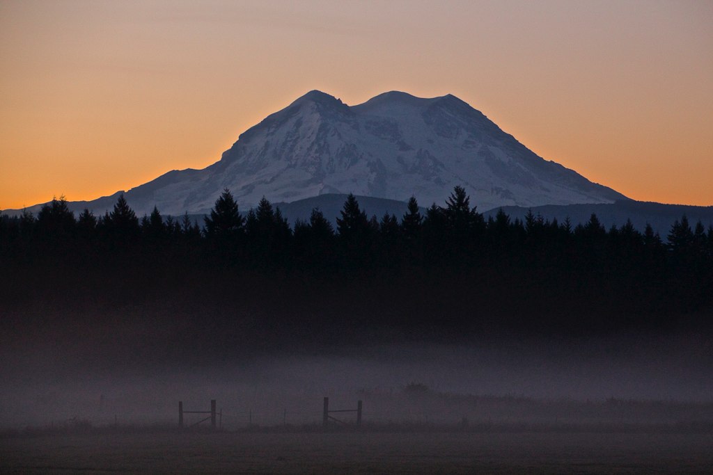
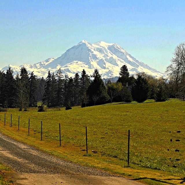
The Dominant View

Moment of victory
Mineral Lake Boat Launch
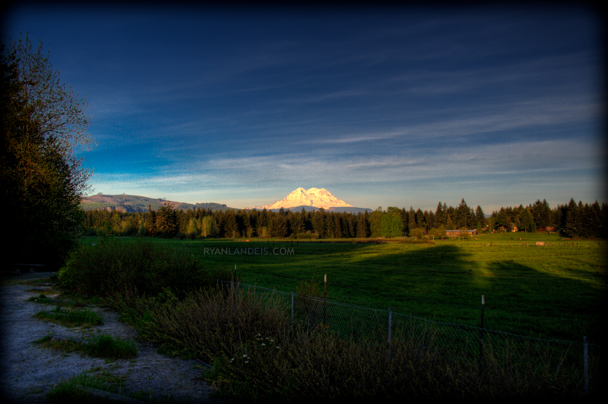
Mt Rainier HDR (Edit 1)
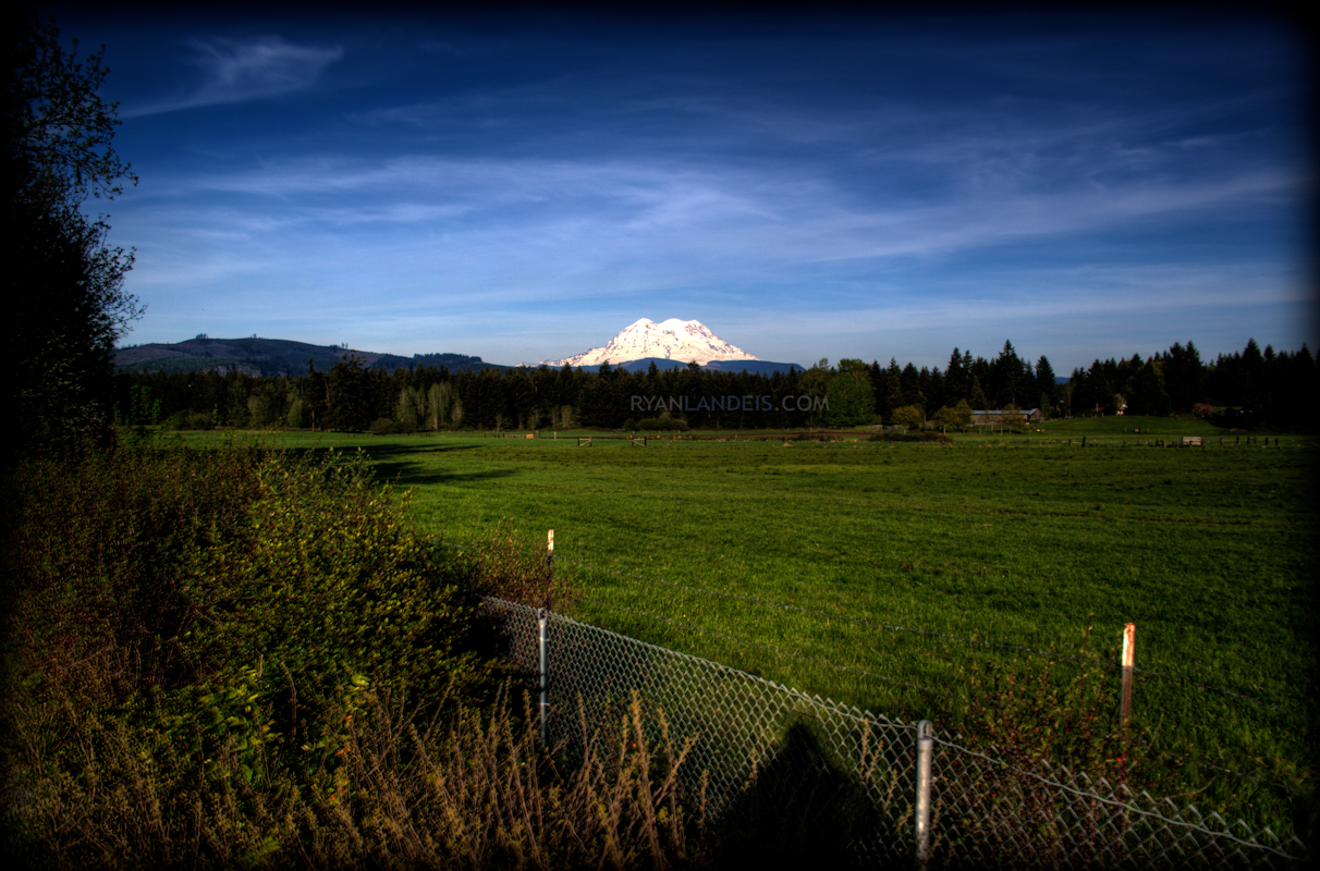
Mt Rainier HDR (Edit 3)
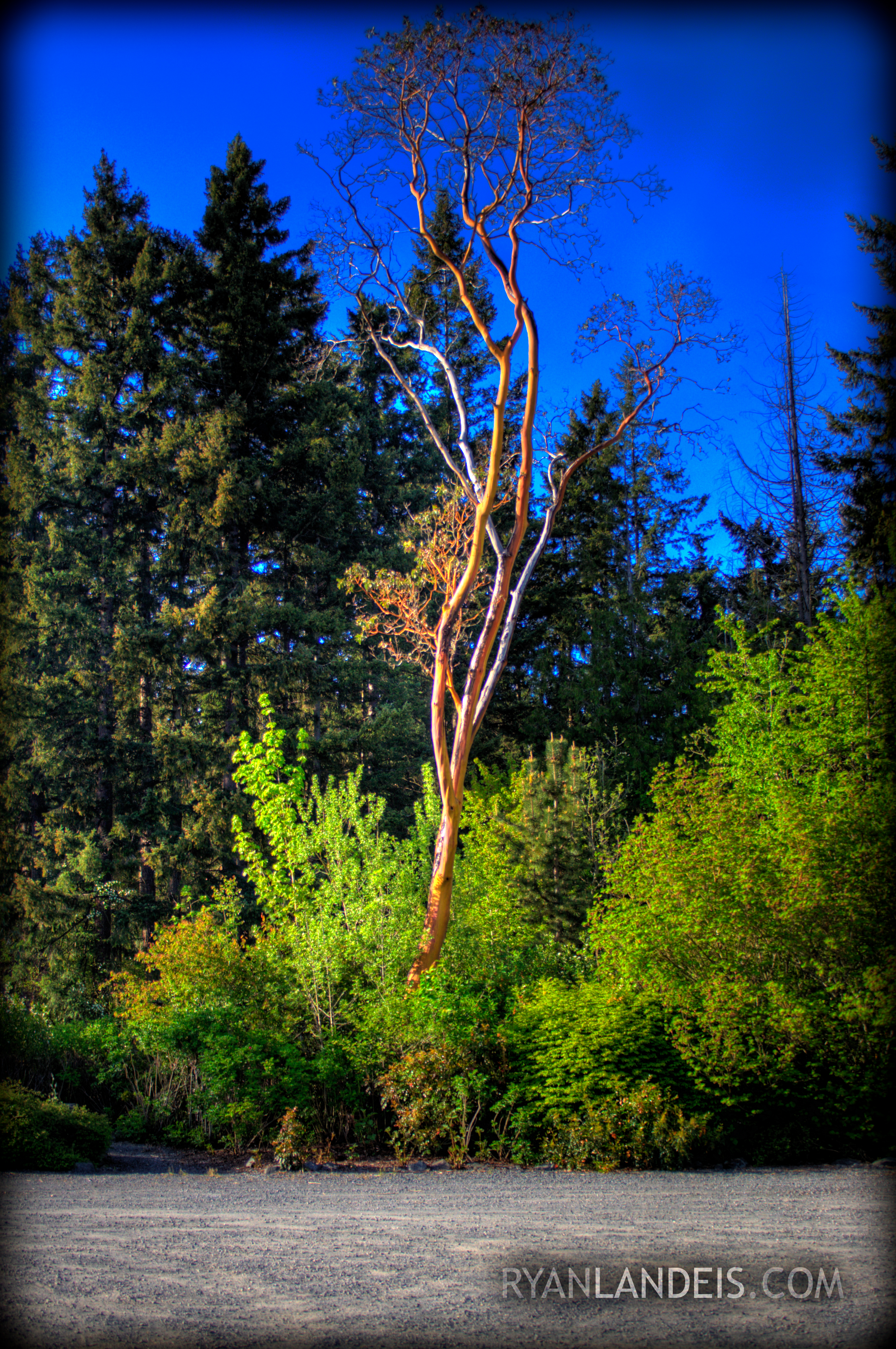
HDR Tree
Mt. Rainier 2

Truncated Glen

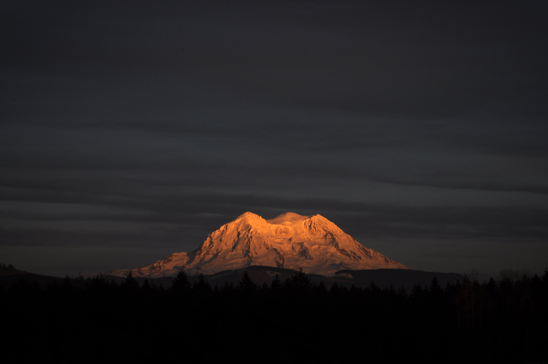
Mount Rainier Sunset

Autumn tennis
Mt. Rainier 4
Light over Eatonville I
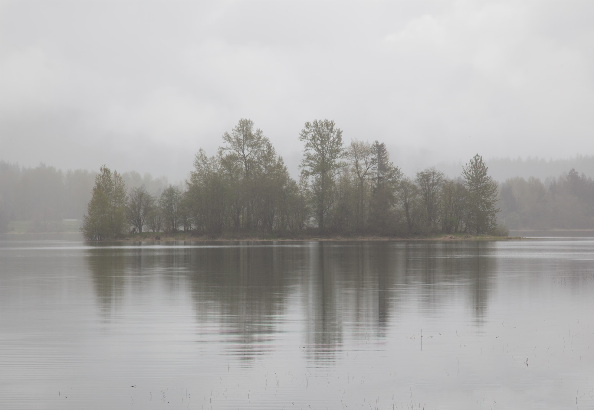
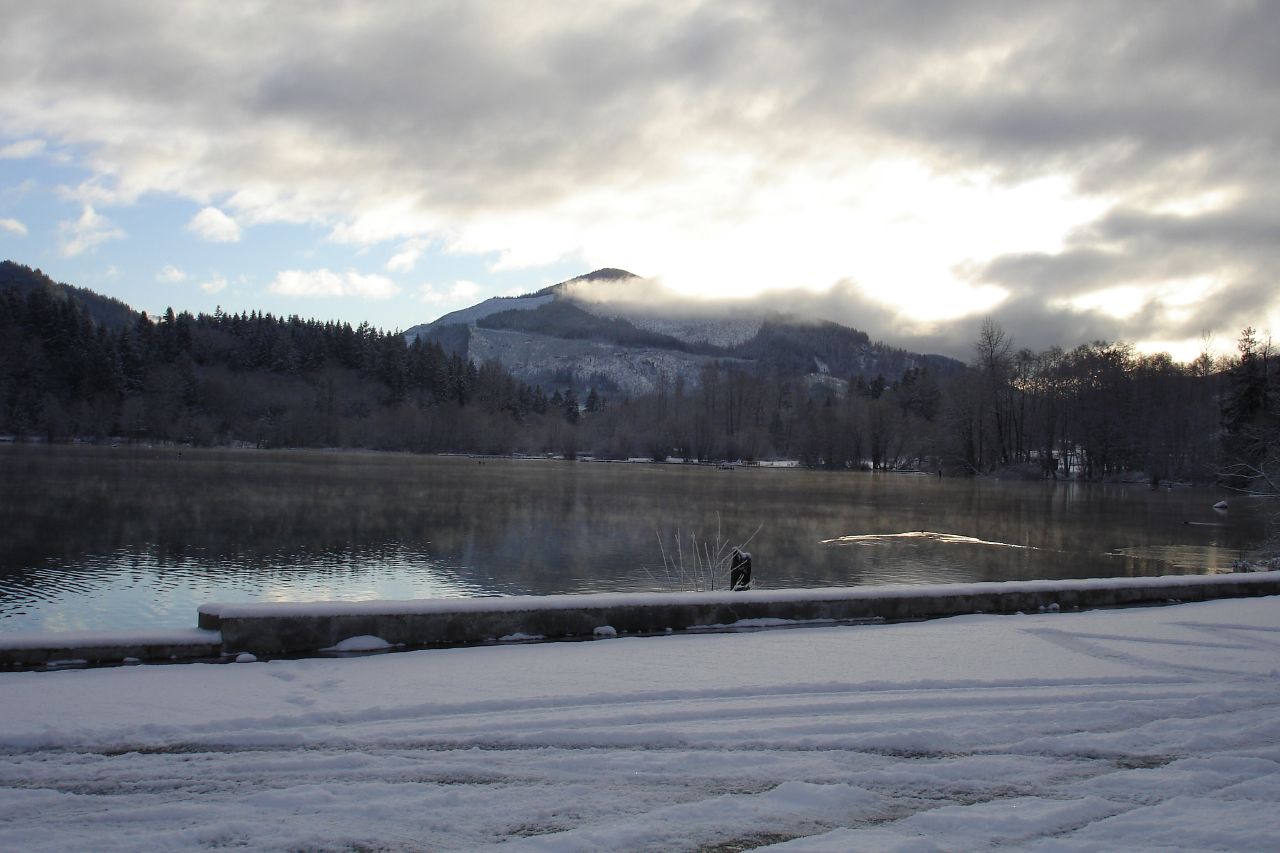
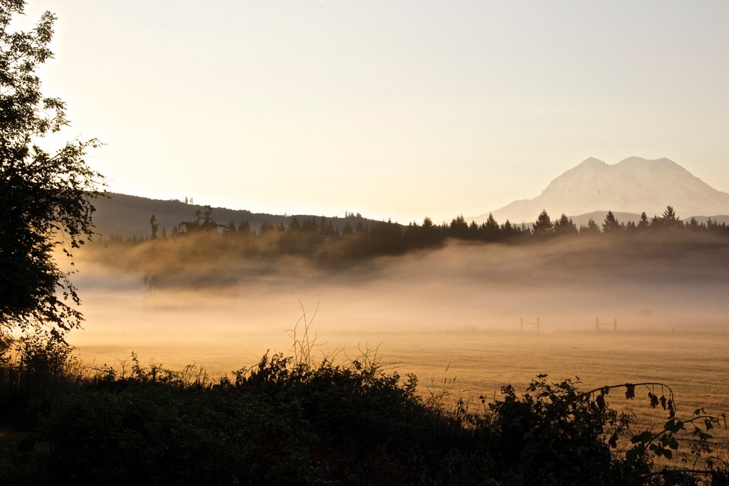
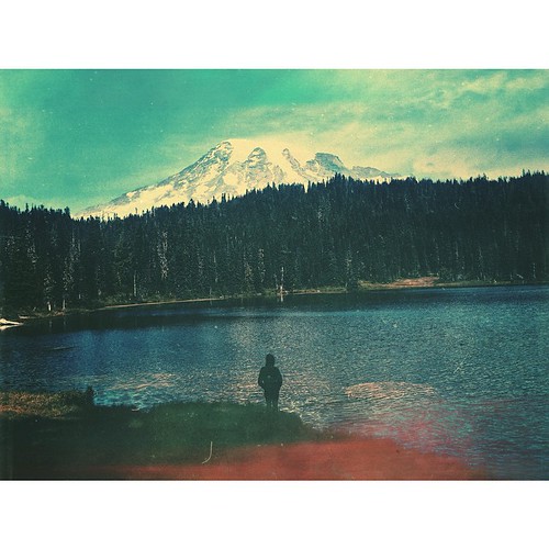
A Misty Reflection
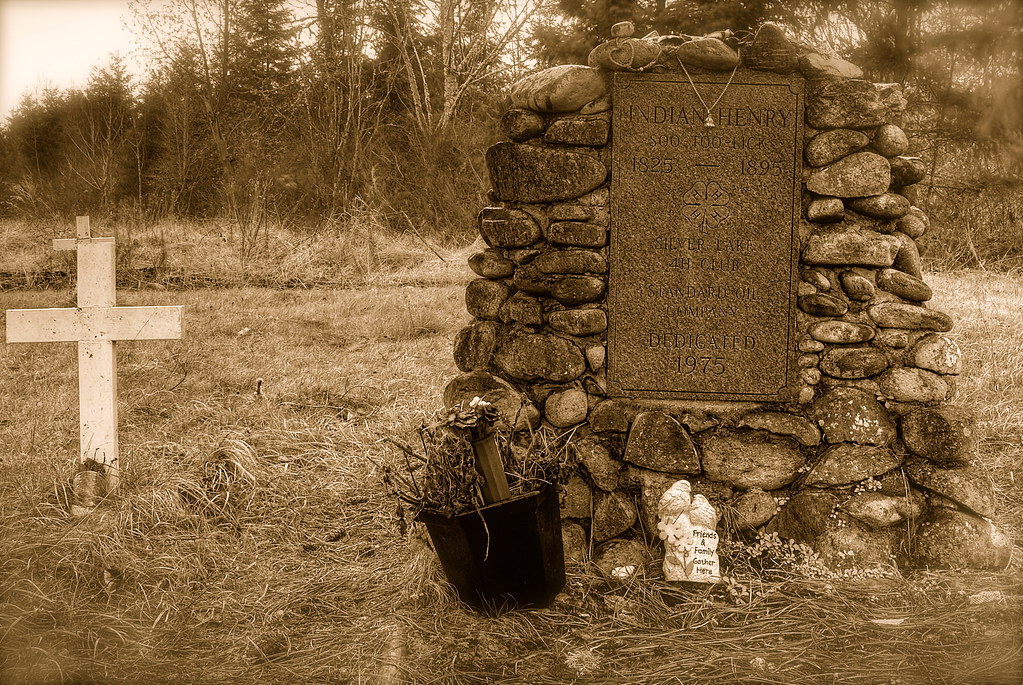
Grave of Indian Henry
Driveway to paradise. Yes, you can live here and enjoy the views. But you can't get your house insured because this is an active volcano! #mtrainier #pnw #pnwcollective #seattle #mountain #volcano #outdoors #explore #travel
Light over Eatonville II

wide angle view of Mt Rainier
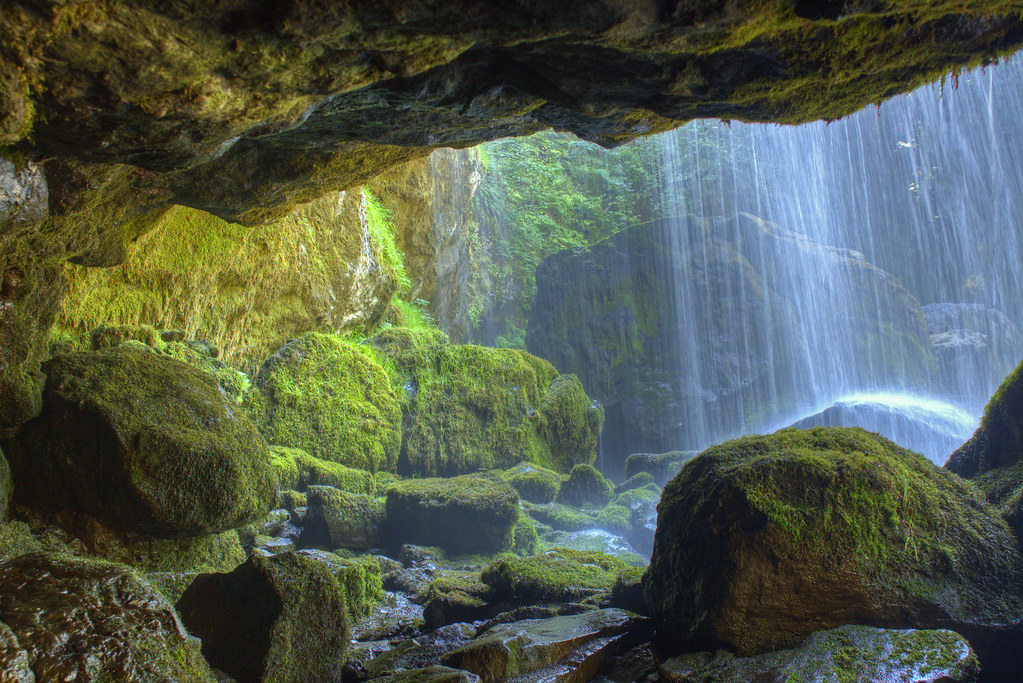
from behind Middle Falls of Little Mashel
Lower Little Mashel Falls
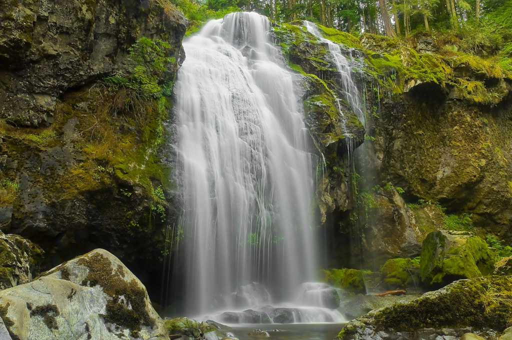
Little Mashel Falls

Alder Lake, Drained ['Splored!]
From behind Little Mashel middle falls
Spring at Little Mashel
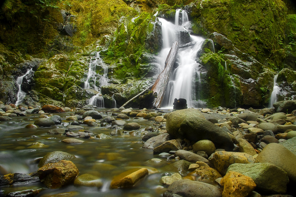
Little Mashel Middle Falls
Fallen Logs
Lower Little Mashel Falls
Mt. Rainier Railroad maintenance yard
Mount Rainier, WA ∞ ↟↟↟↟↟↟ /// #vsco #mextures #vscomextures #vscolove #vsconature #vscogrid #wa #washington #mtrainier #iheartmextures2 #westcoast #liveauthentic
Last Rays on Mt. Rainier
Lilliputian Of Mashel
Cobblestone Musings
Topographic Map of Cemetery Rd E, Eatonville, WA, USA
Find elevation by address:

Places near Cemetery Rd E, Eatonville, WA, USA:
532nd Street East
La Grande
9010 453rd St E
49816 146th Ave E
49708 146th Ave E
49706 146th Ave E
39019 129th Ave E
778 Gracie Ln W
183 Dow Ridge Dr N
United States Postal Service
201 Center St E
Eatonville
300 Center St E
9320 Ohop Valley-extension Rd E
9107 Ohop Valley Rd E
449 Cessna Ct E
Campbell Lane East
Ohop Valley Rd E, Eatonville, WA, USA
Elbe
37805 80th Ave E
Recent Searches:
- Elevation of Corso Fratelli Cairoli, 35, Macerata MC, Italy
- Elevation of Tallevast Rd, Sarasota, FL, USA
- Elevation of 4th St E, Sonoma, CA, USA
- Elevation of Black Hollow Rd, Pennsdale, PA, USA
- Elevation of Oakland Ave, Williamsport, PA, USA
- Elevation of Pedrógão Grande, Portugal
- Elevation of Klee Dr, Martinsburg, WV, USA
- Elevation of Via Roma, Pieranica CR, Italy
- Elevation of Tavkvetili Mountain, Georgia
- Elevation of Hartfords Bluff Cir, Mt Pleasant, SC, USA