Elevation of Railroad Ave, Redding, CA, USA
Location: United States > California > Shasta County > Redding >
Longitude: -122.38976
Latitude: 40.5627936
Elevation: 162m / 531feet
Barometric Pressure: 99KPa
Elevation Map:
Satellite Map:
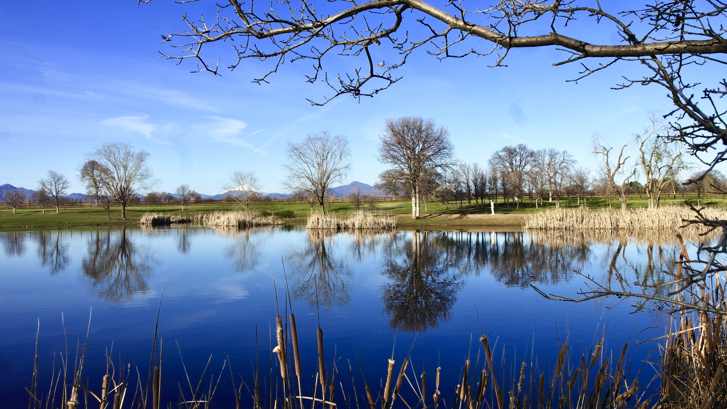
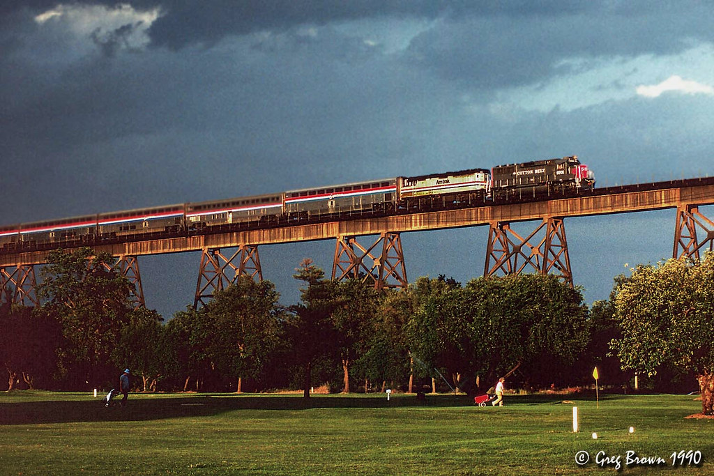
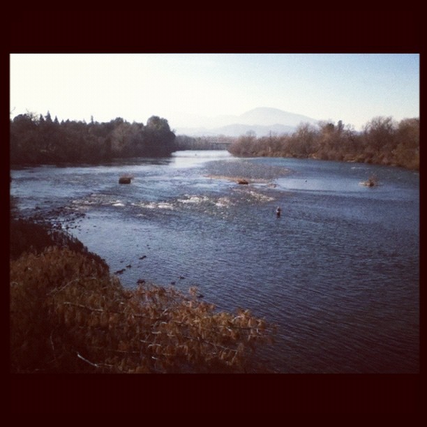
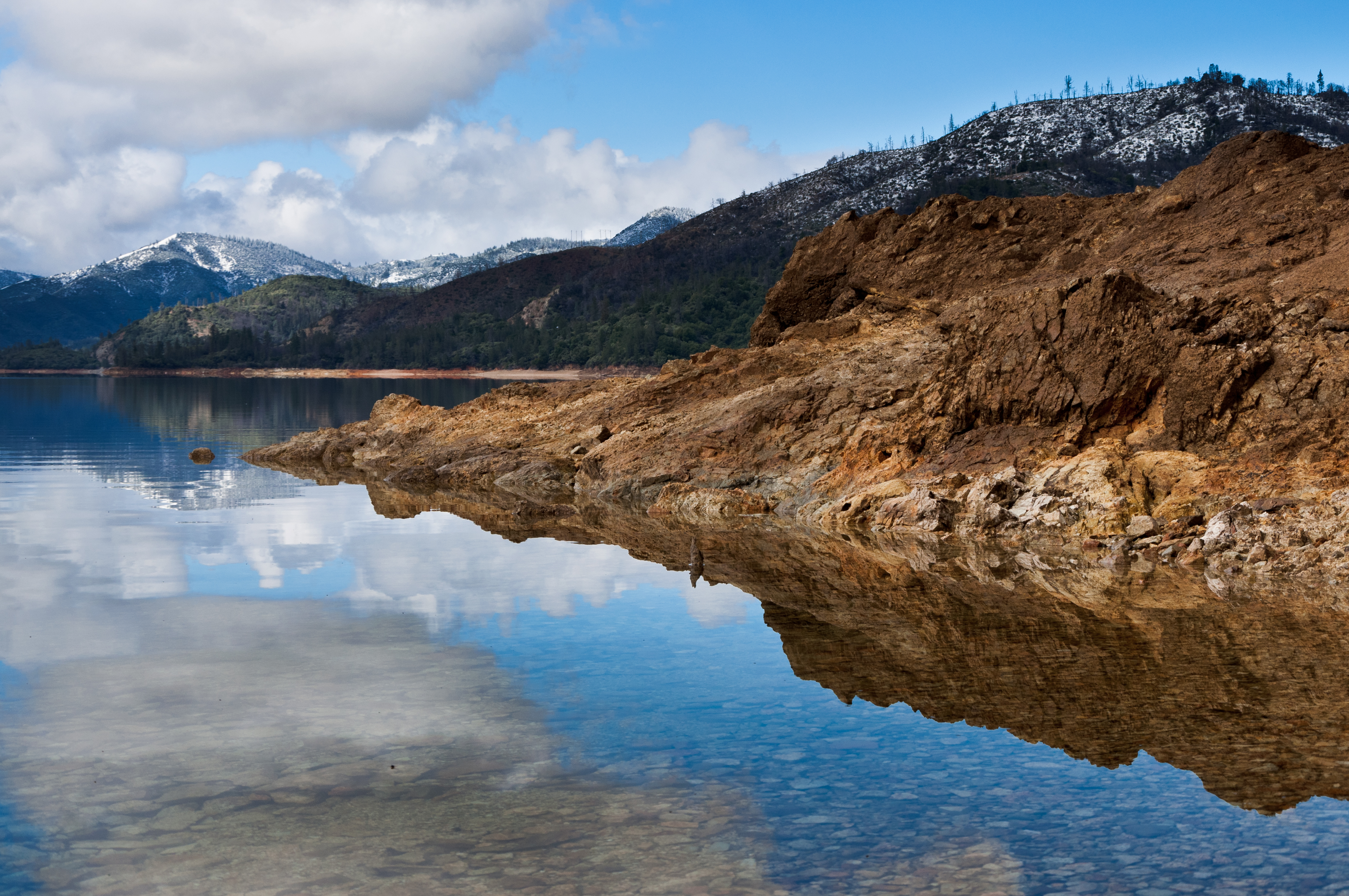
Related Photos:

Calatrava's Sundial Bridge, Redding, California

Sundial Bridge at Turtle Bay (II)

Changed hotels. Here's the view from the room - sunset on the Sacramento River. #roadtrip #redding #california #hotel #view #Sacramento #river #instagold #instagood #instagram #igdaily #igaddicts #ipodtouch #ipod

Sundial Bridge Lightning, The Sundial Bridge, Redding, CA

Sundial Bridge at Turtle Bay
Learning to Glow

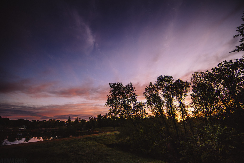
Sunset over Sacramento River

View just now from the hotel room. #sunset #colorful #clouds #sky #evening #winter #redding #california #roadtrip #Creation #beauty #ipod #ipodtouch #igdaily #igaddicts #instagold #instagood #instagram
Morning View

Roberts_68 Sundial Bridge
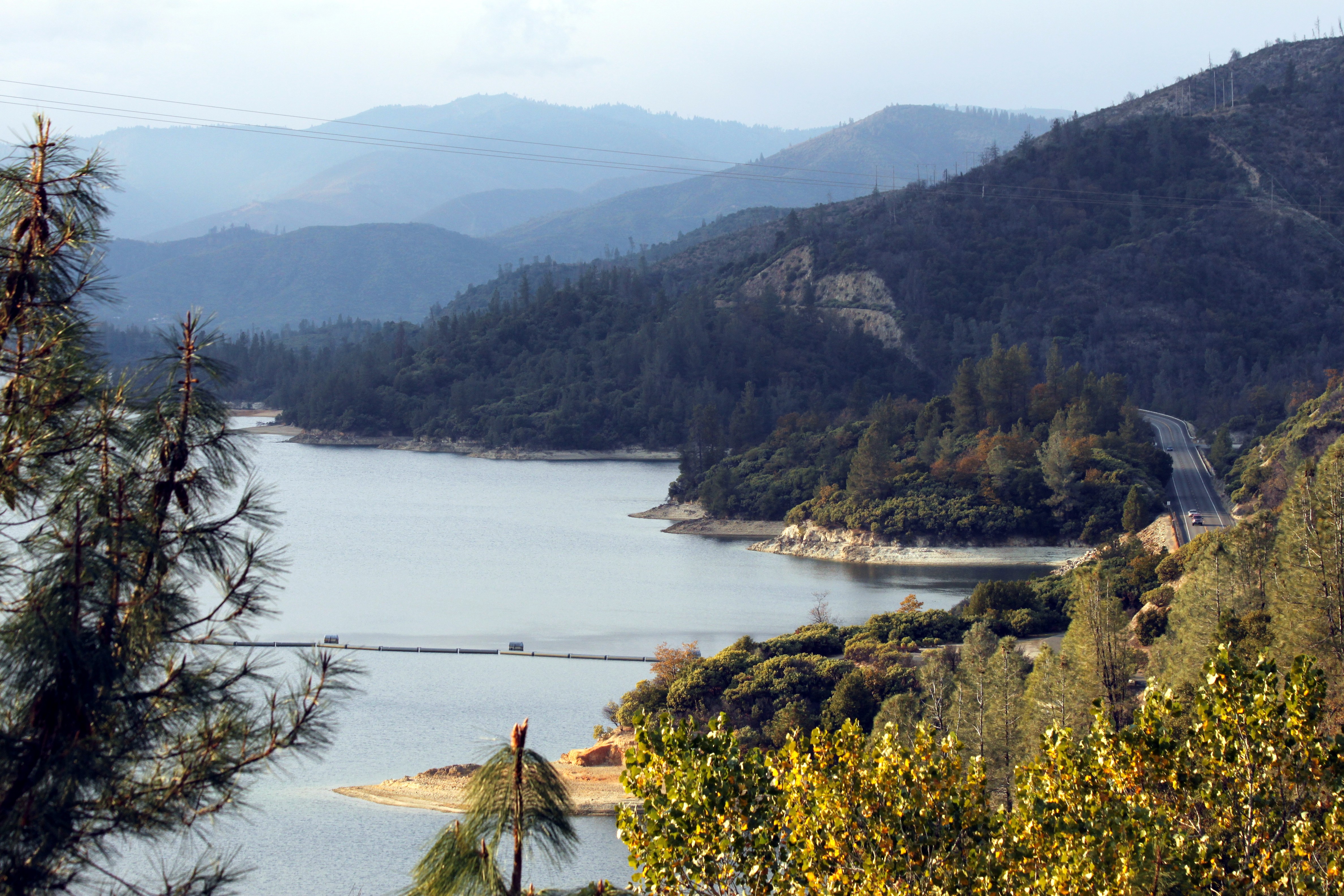
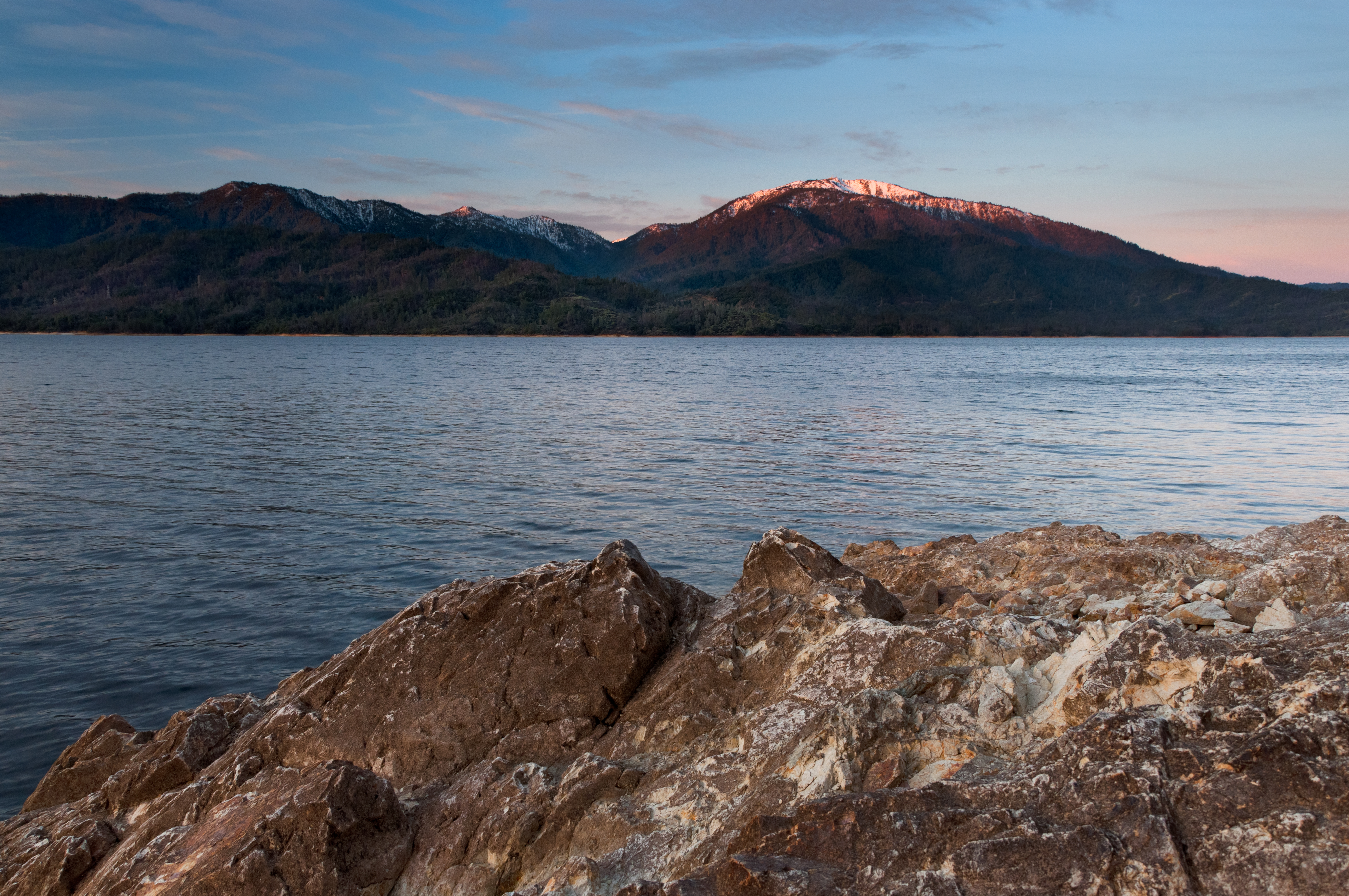
Whiskeytown Lake

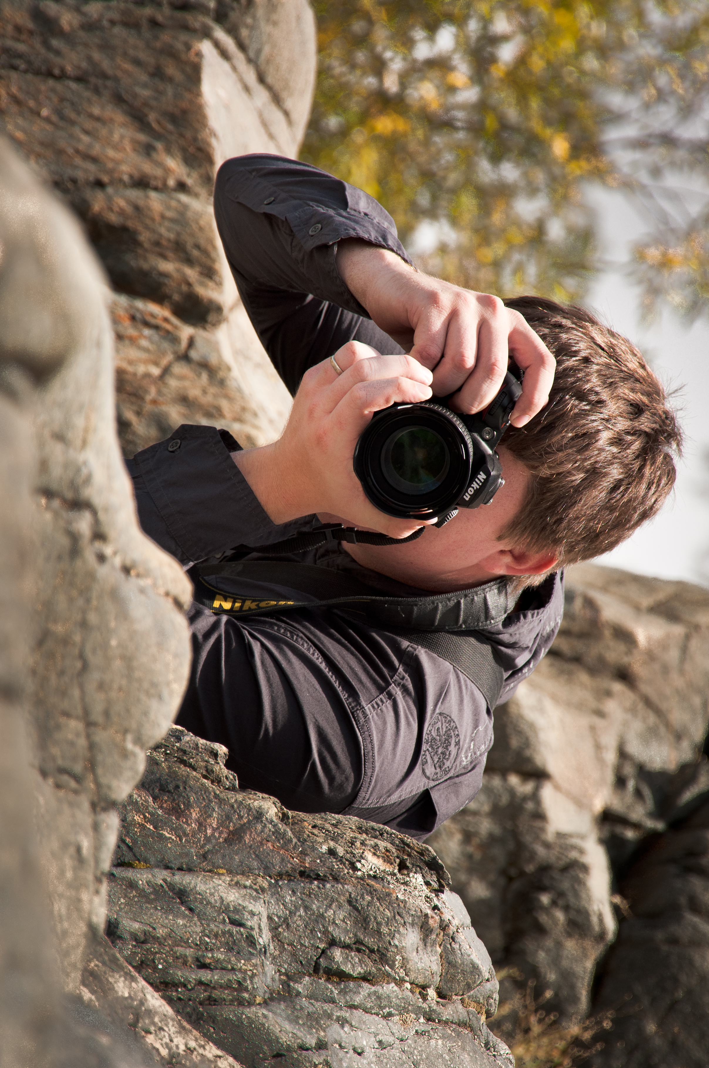
Self Portrait - 1
Whatever it Takes
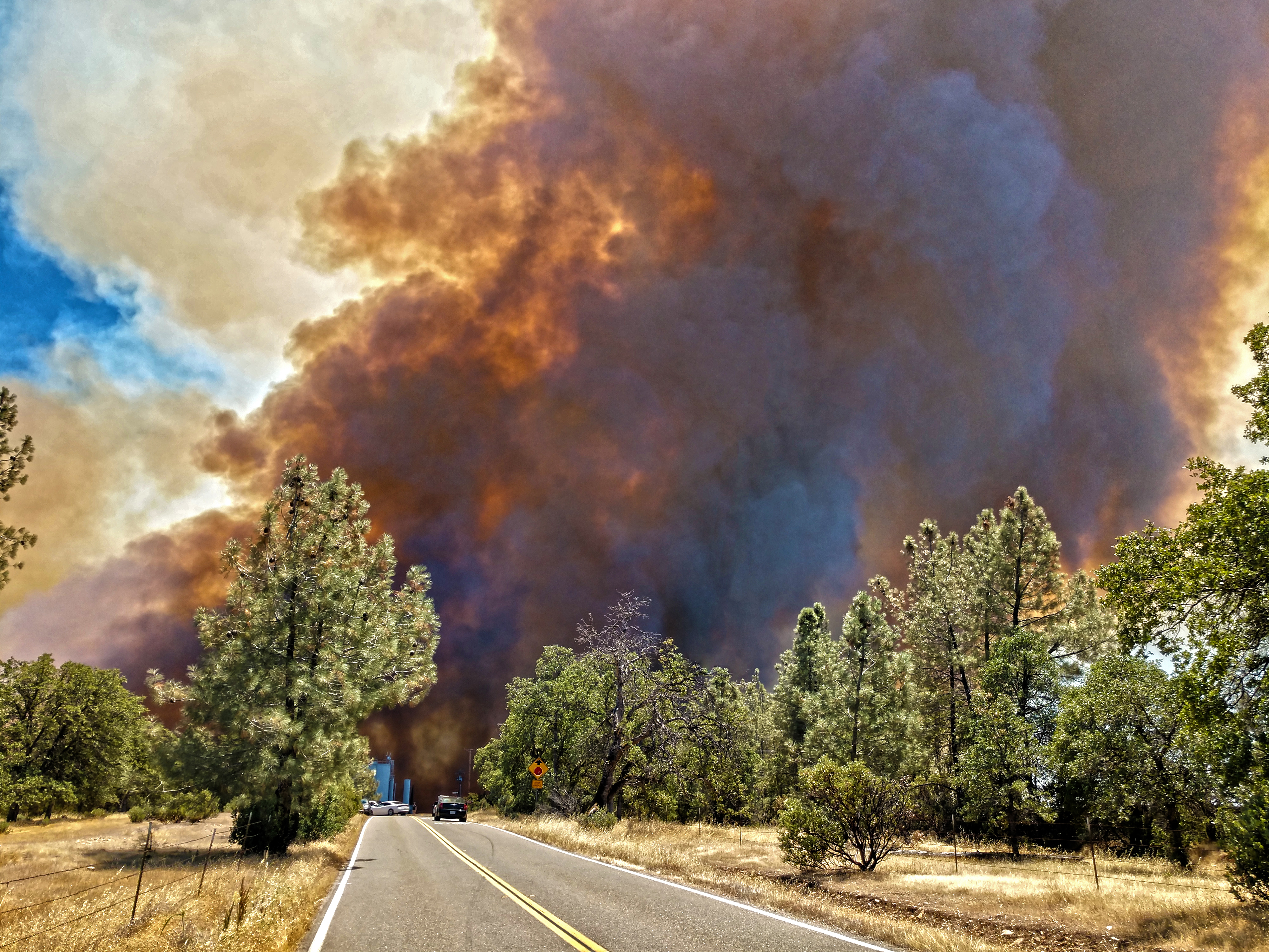
Smoke!

Sundial Bridge at Turtle Bay Exploration Park facing Sacramento River west view in Redding, California.
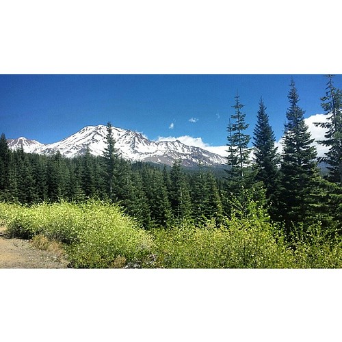
A perfect view of #MtShasta to end the weekend.

Sundial Bridge at Turtle Bay Exploration Park facing southeast view in Redding, California.

Sundial Bridge at Turtle Bay Exploration Park facing west view in Redding, California.
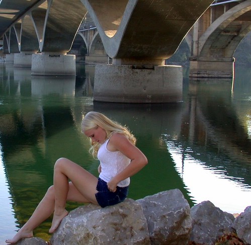
Girl By Bridges

Interstate 5 Southbound Shasta Valley Freeway approaching 1/4 = 0.25 mile to Exit 681A - Twin View Blvd. followed by Exit 680 - State Highway Junction Route CA-299 Lake Blvd. 3/4 = 0.75 miles with this overhead sign located at

Mt. Shasta

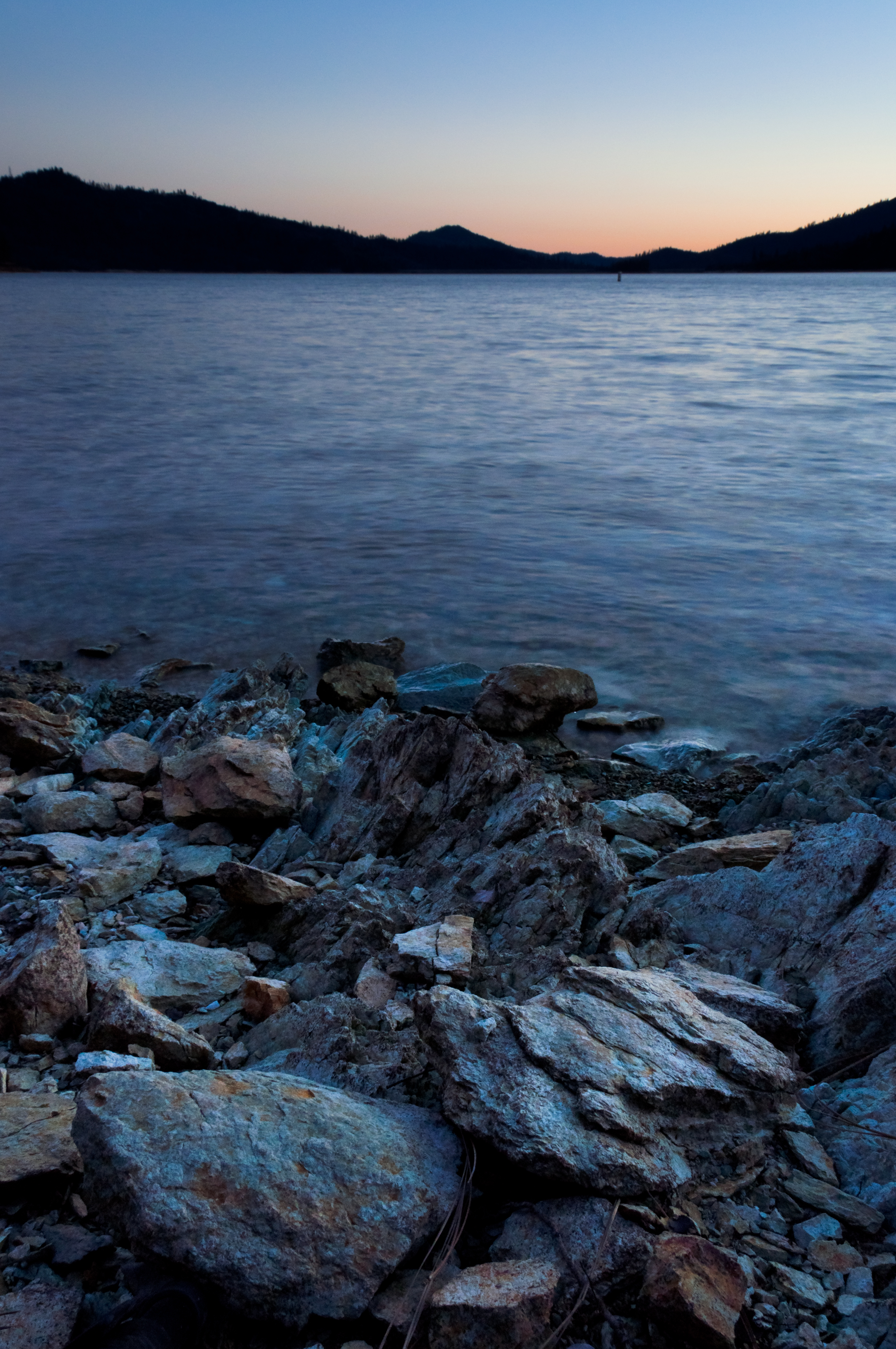
Whiskeytown Lake, California, USA

Whiskeytown Lake Sunset [04.02.13]
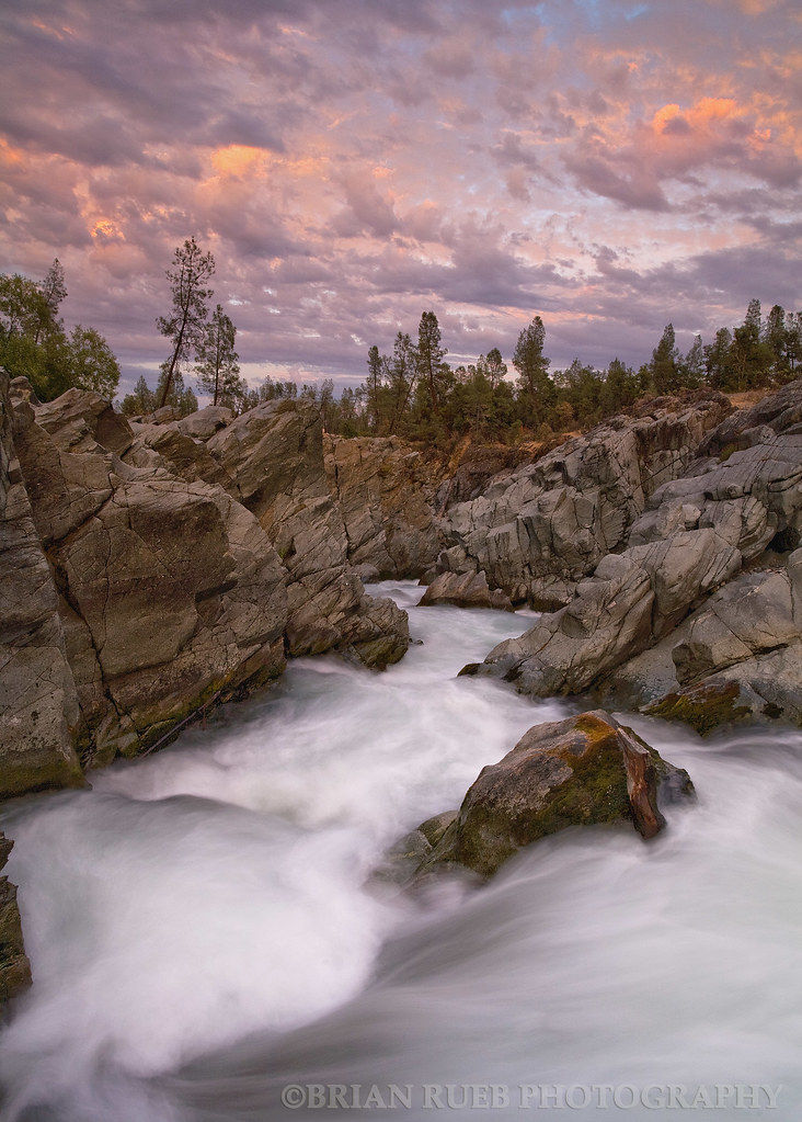
Clear Creek
Quiescense - Whiskeytown Lake
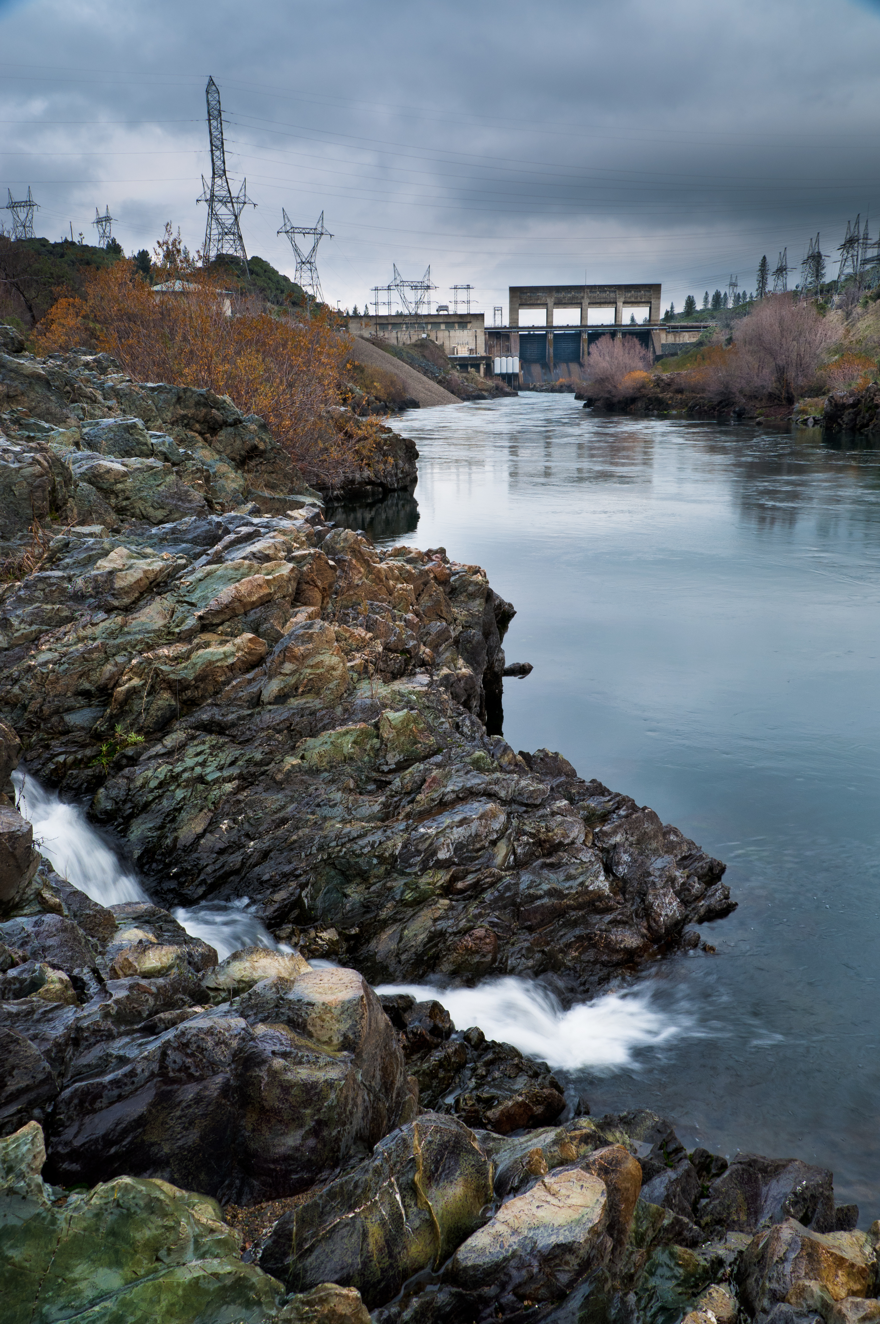
Keswick Dam
The Furrows
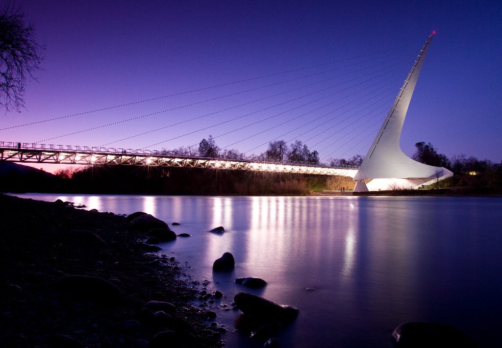
Sundial Bridge Redding Ca.
Beautiful Ending
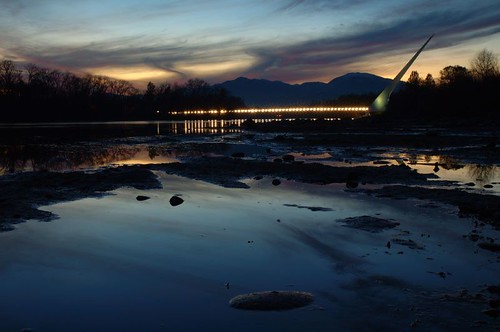
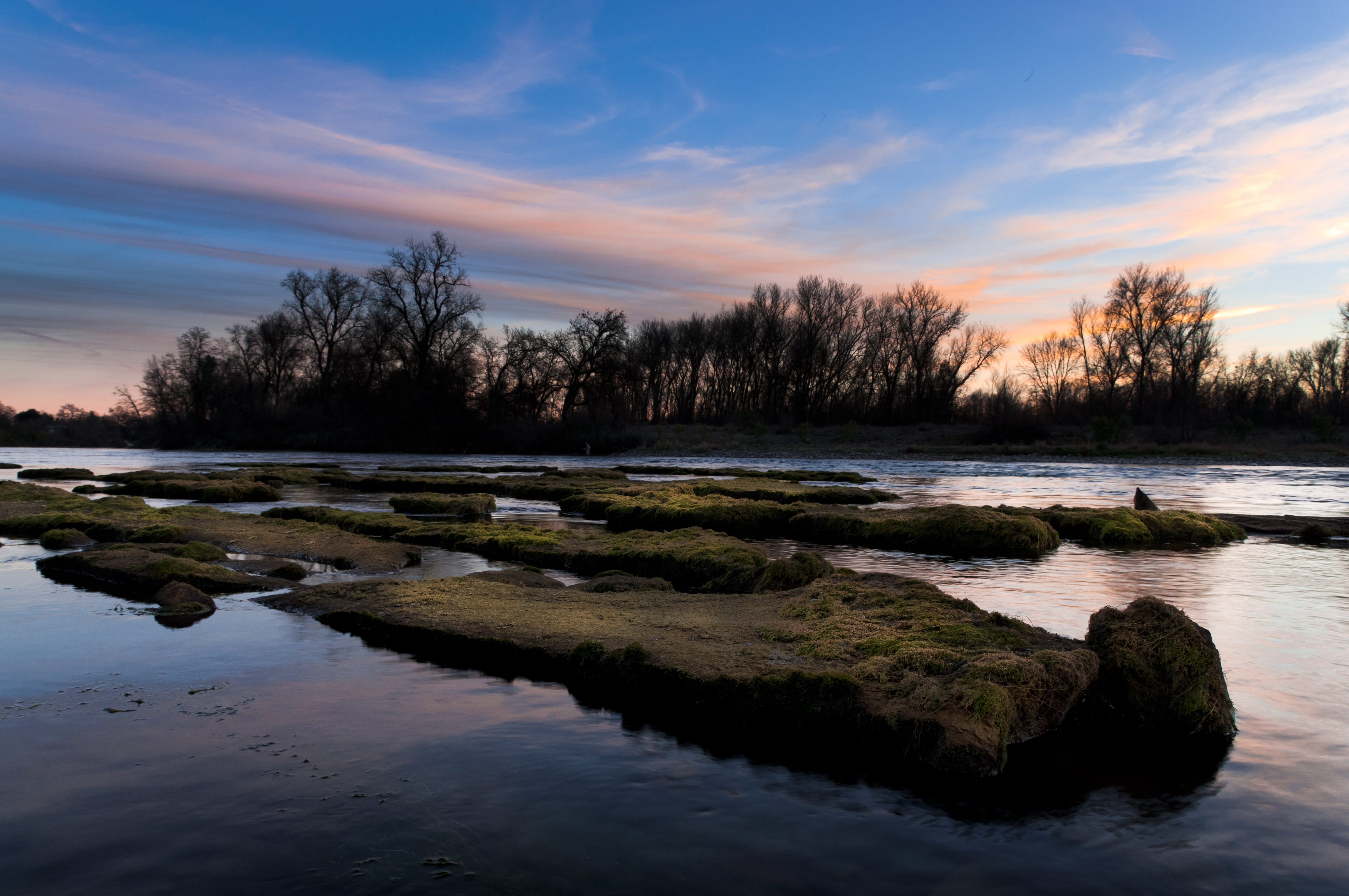
Sundial Bridge / Sacramento River

Devious Pines
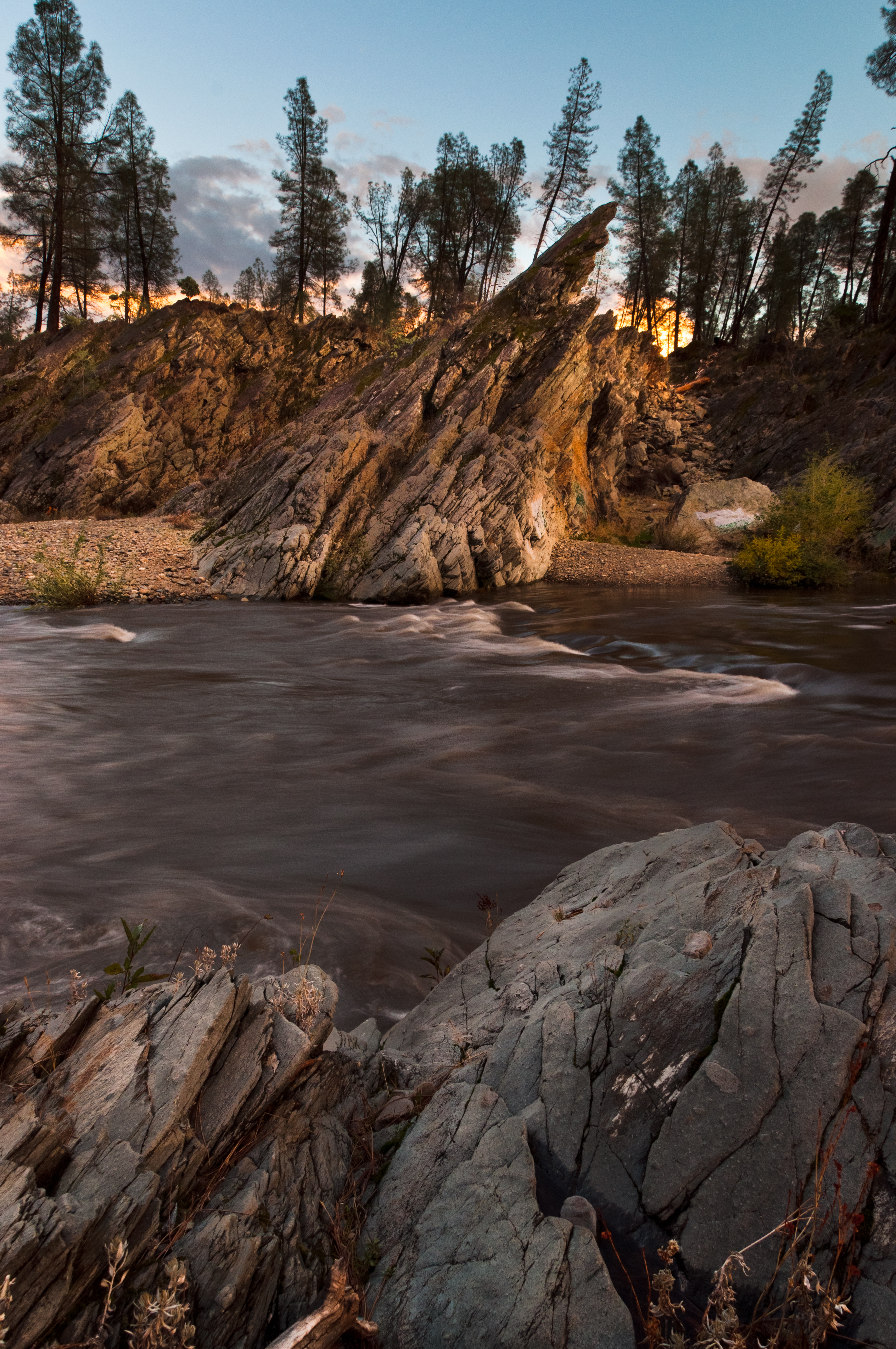
Clear Creek
Sunrise at Simpson [03.30.13]
Park Lake

Whiskeytown Lake [04.02.13]

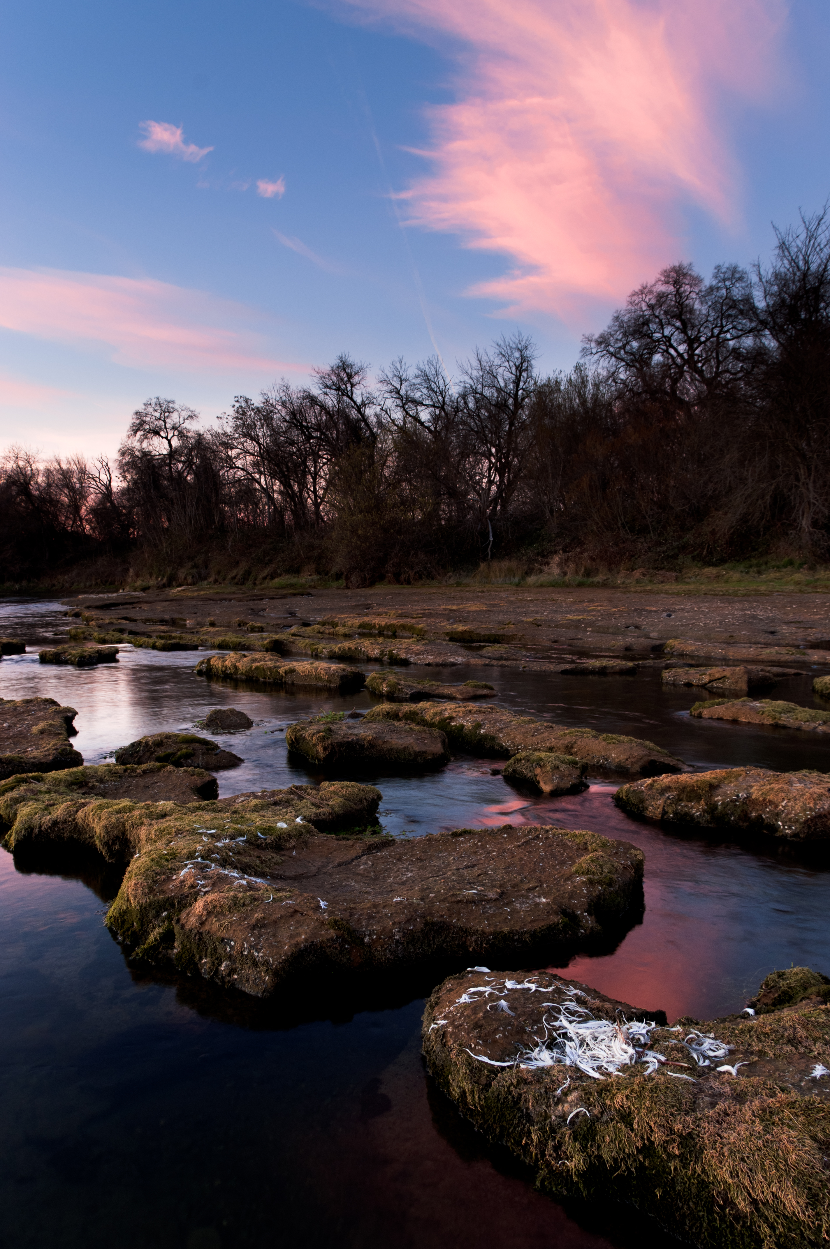
Red Along a River
Almost there
A man fly fishing in the Sacramento River. #sacramento #river #redding #california #roadtrip #sunny #blue #sky #fly #fishing #roadtrip #california #instagram #instagold #instagood #igaddicts #ipodtouch #igdaily #ipod
Reflecting on Whiskeytown Lake

Sundial Bridge

Mount Shasta
Topographic Map of Railroad Ave, Redding, CA, USA
Find elevation by address:

Places near Railroad Ave, Redding, CA, USA:
3400 Summit Dr
2889 Donner Ct
Donner Court
2175 Rosaline Ave
Indian Hills Subdivision
1815 Yuba St
2315 Placer St
Placer Street
Benton Airpark
1523 Olive Ave
Redding
Magnolia
Deakins Subdivision
Holiday Market
Lakeview
1805 9th St
860 Lakeview Dr
3310 Oakwood Pl
Oakmont Subdivision
3225 Stratford Ave
Recent Searches:
- Elevation of Corso Fratelli Cairoli, 35, Macerata MC, Italy
- Elevation of Tallevast Rd, Sarasota, FL, USA
- Elevation of 4th St E, Sonoma, CA, USA
- Elevation of Black Hollow Rd, Pennsdale, PA, USA
- Elevation of Oakland Ave, Williamsport, PA, USA
- Elevation of Pedrógão Grande, Portugal
- Elevation of Klee Dr, Martinsburg, WV, USA
- Elevation of Via Roma, Pieranica CR, Italy
- Elevation of Tavkvetili Mountain, Georgia
- Elevation of Hartfords Bluff Cir, Mt Pleasant, SC, USA