Elevation map of Quispicanchi Province, Peru
Location: Peru > Cusco >
Longitude: -71.097317
Latitude: -13.633439
Elevation: 4749m / 15581feet
Barometric Pressure: 56KPa
Elevation Map:
Satellite Map:
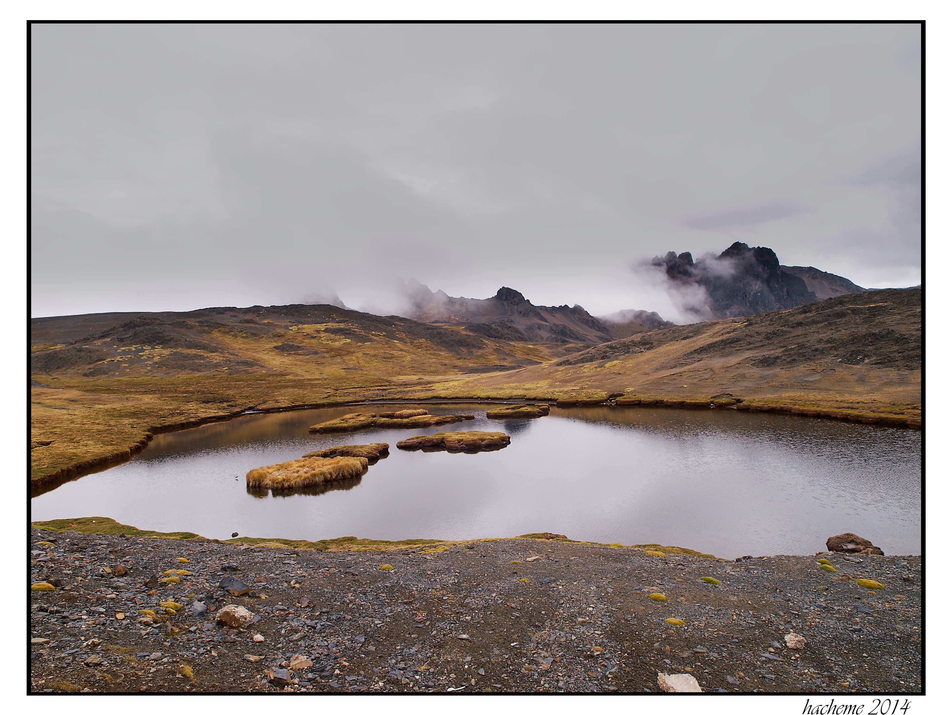
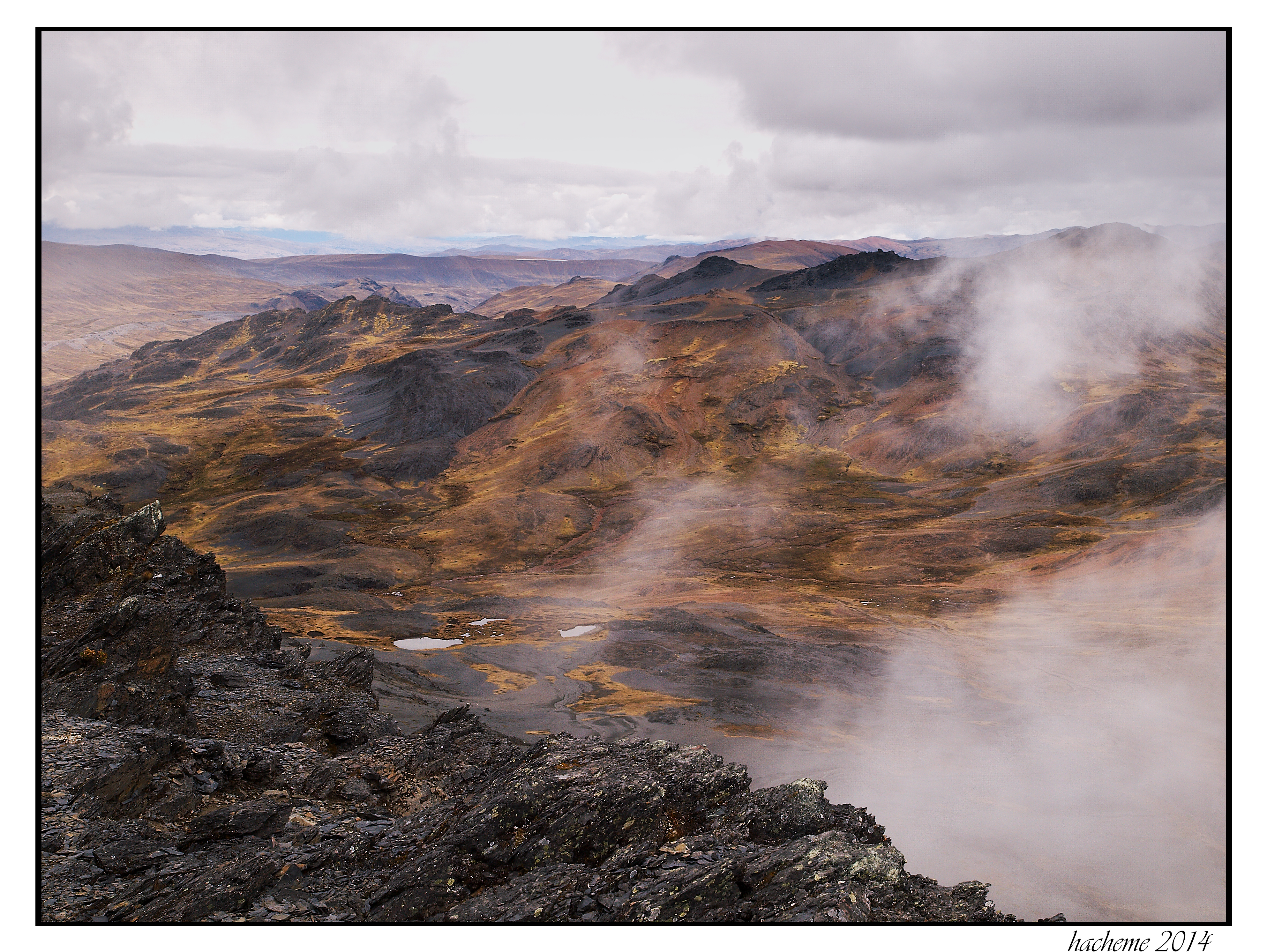
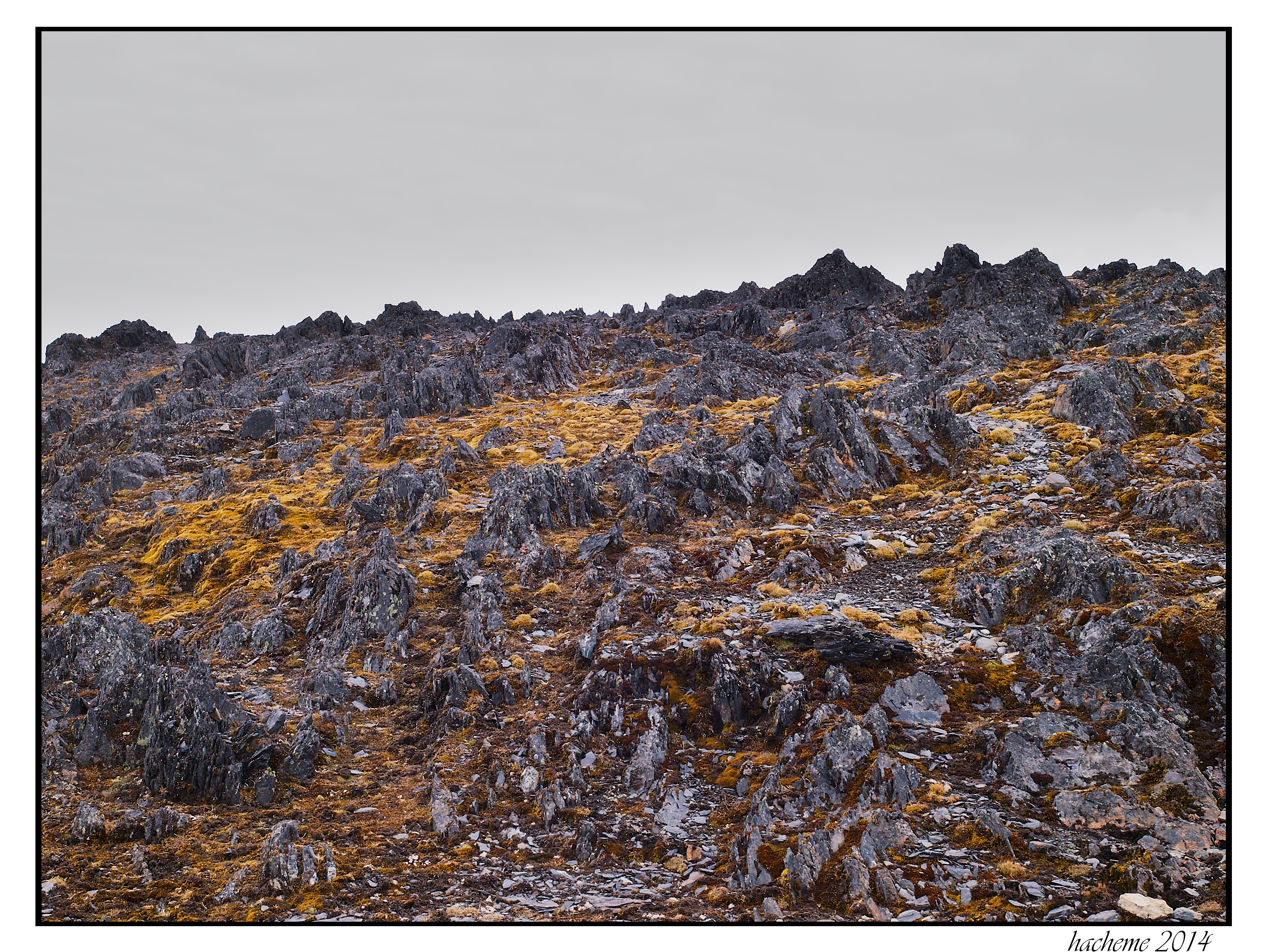
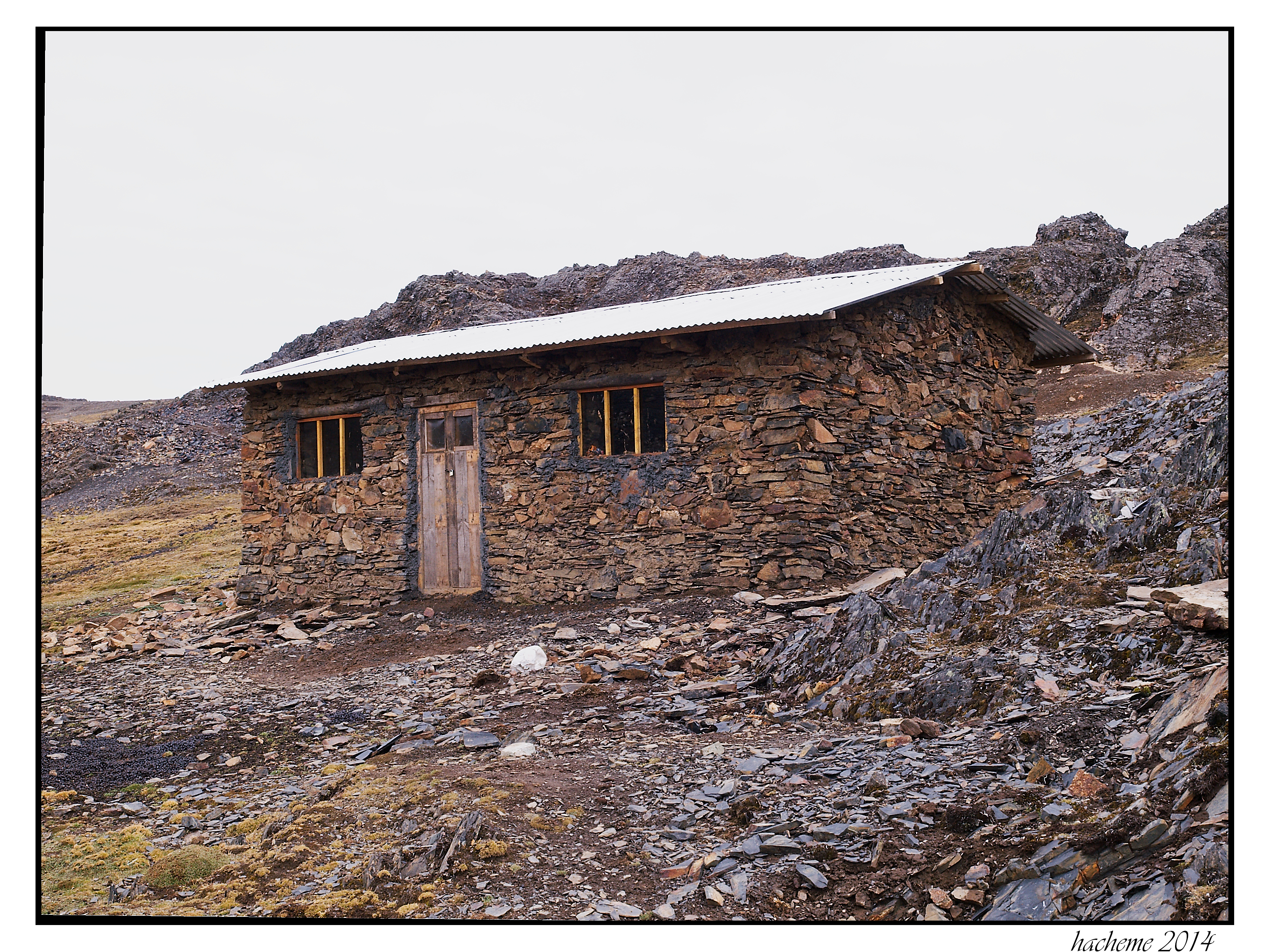
Related Photos:

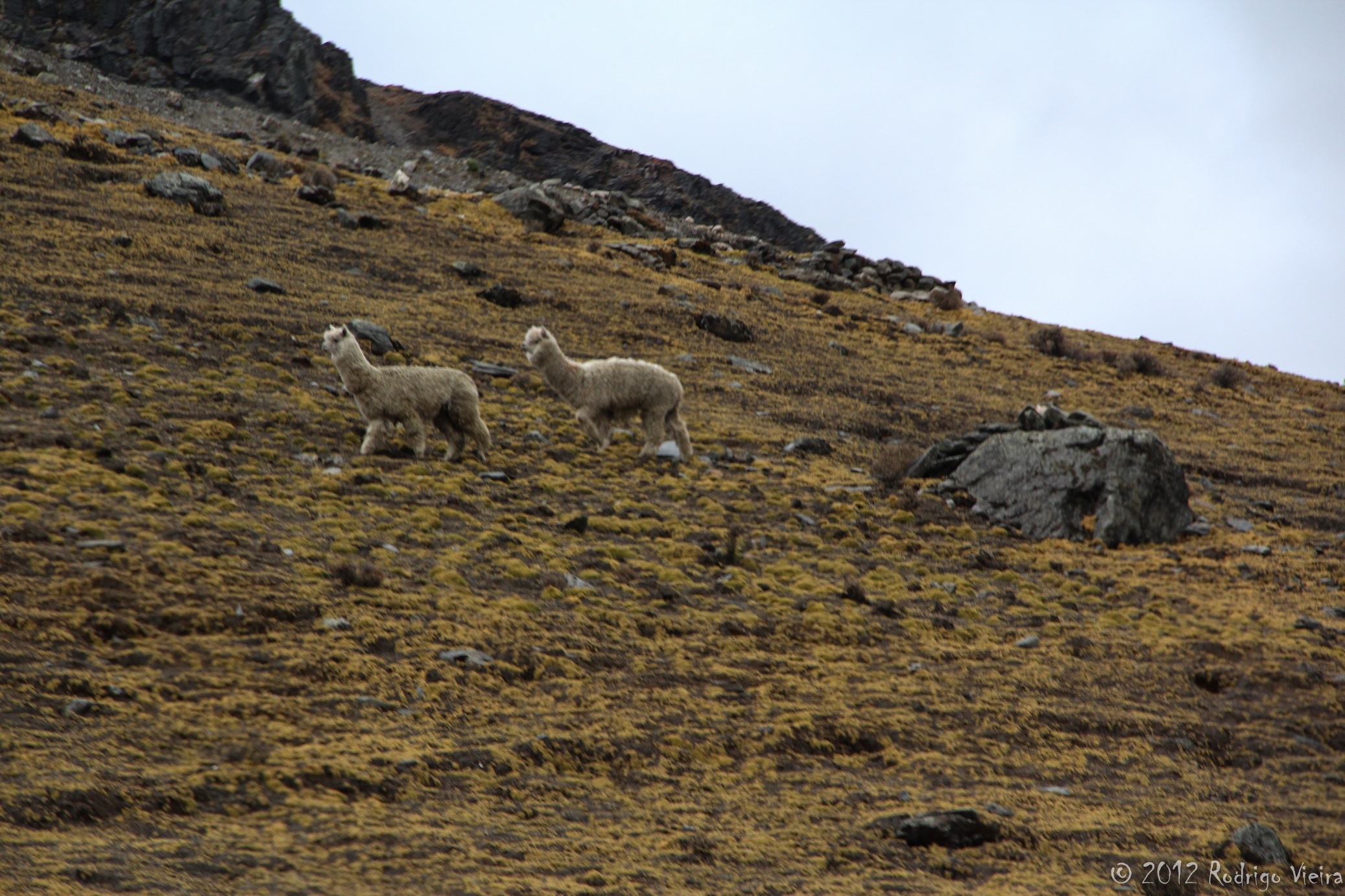
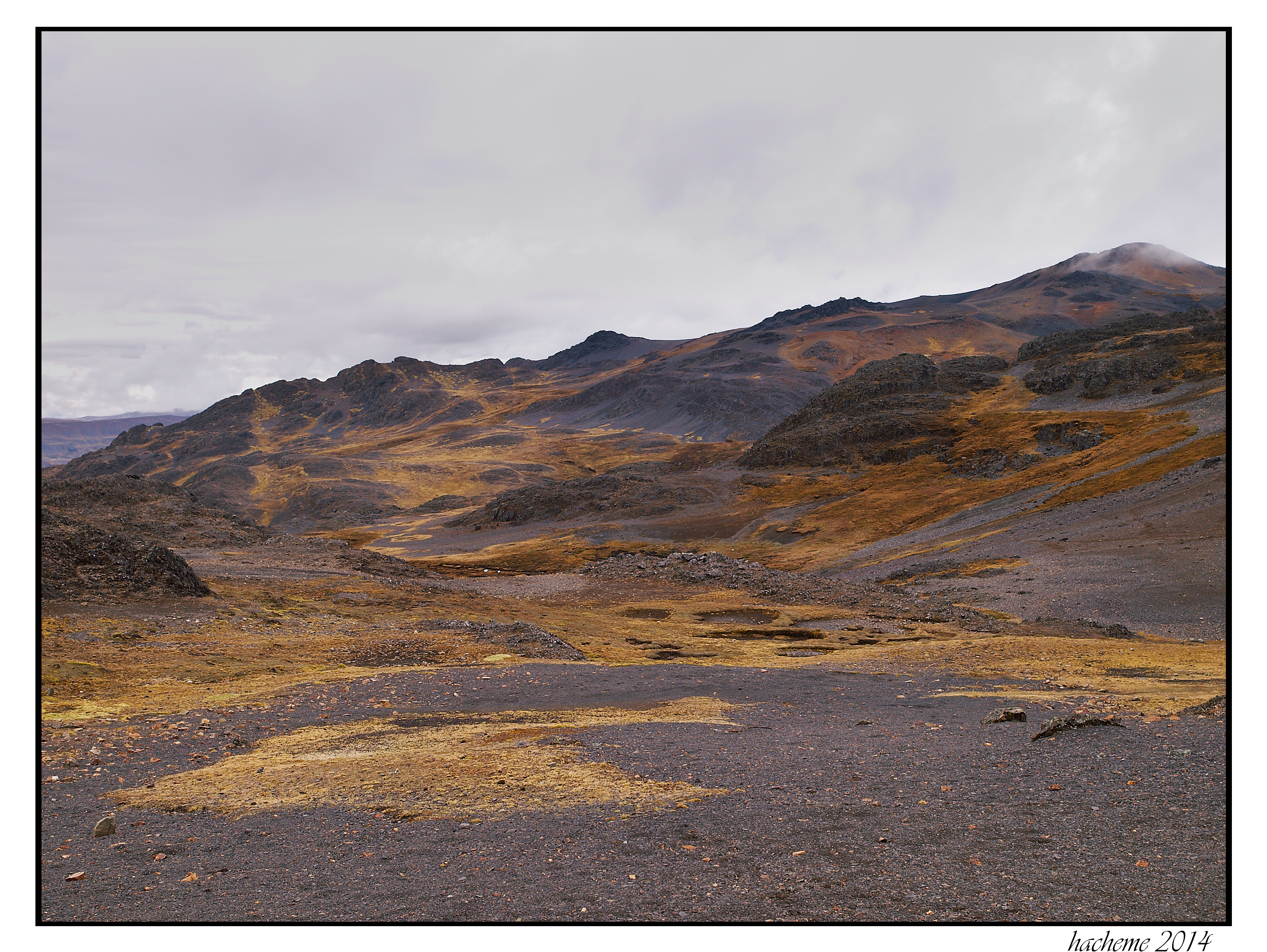
IMG_9311-1-2
IMG_9323-1-2
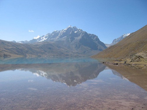
Pérou - Laguna Singrenacocha
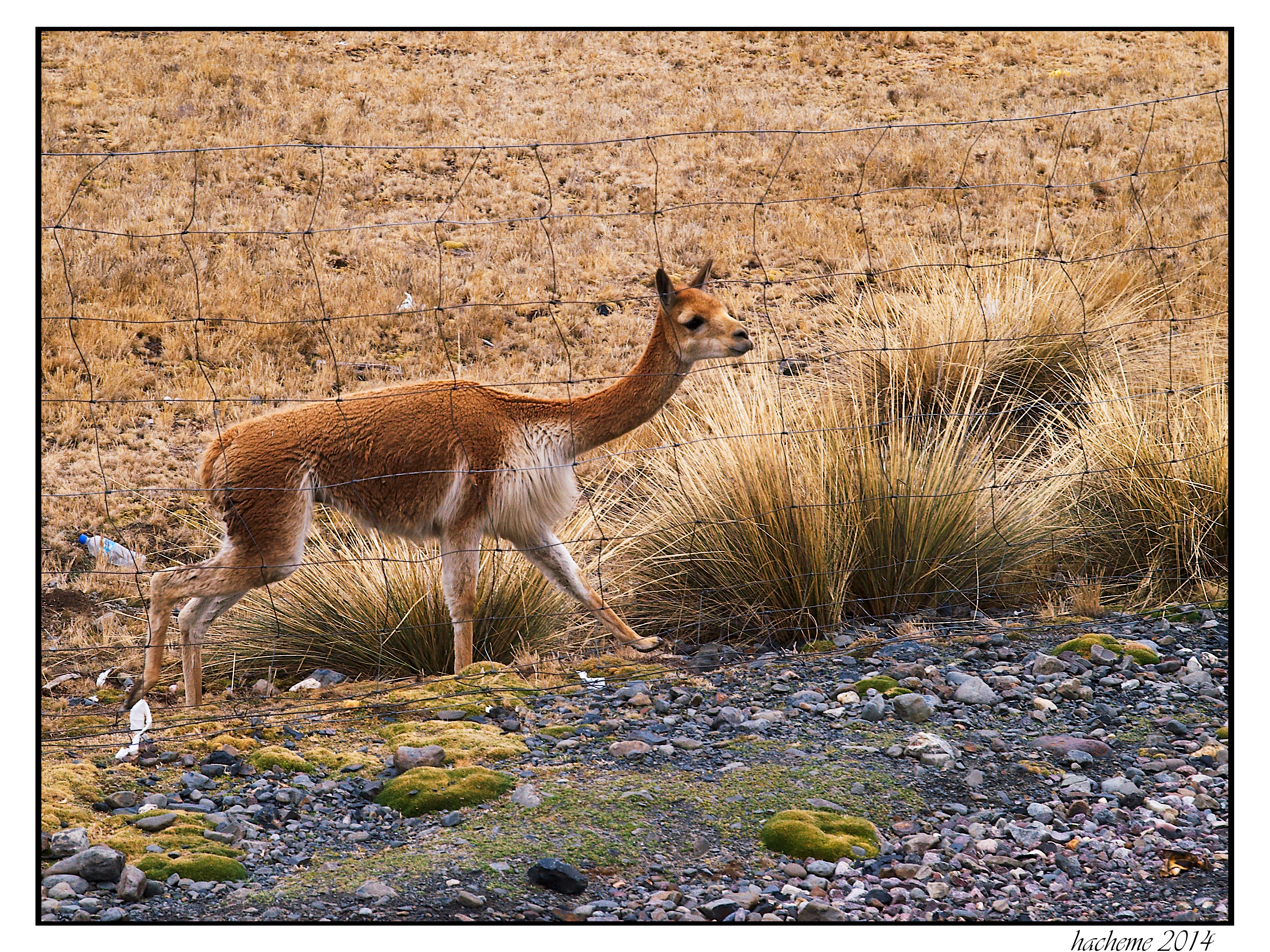
2014-09-13_Tinki-0012

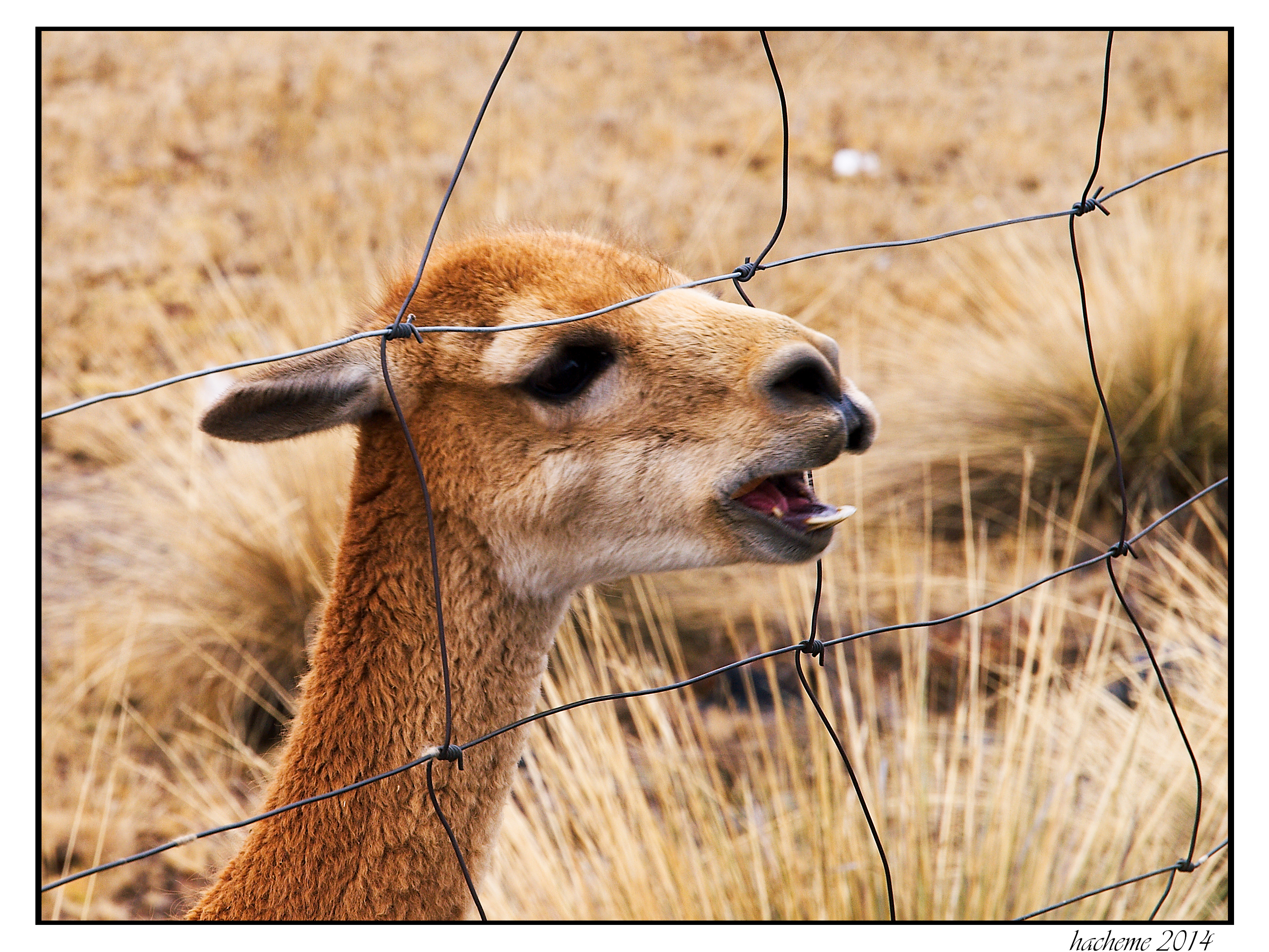
2014-09-13_Tinki-0013
2014-09-13_Tinki-0016
2014-09-13_Tinki-0017

2014-09-13_Tinki-0019
2014-09-13_Tinki--0025

2014-09-13_Tinki-0026
2014-09-13_Tinki-0028

2014-09-13_Tinki-0030
2014-09-13_Tinki-0033

2014-09-13_Tinki-0032
2014-09-13_Tinki-0020
Topographic Map of Quispicanchi Province, Peru
Find elevation by address:

Places in Quispicanchi Province, Peru:
Places near Quispicanchi Province, Peru:
Marcapata District
Aguas Termales Pacchanta
Pacchanta Hostal
Pajchanta
Nevado Auzangate
Rainbow Mountain
Vinicunca Rainbow Mountain
Cordillera Arcoiris De Pallcoyo
Quince Mil
Cusco
Andahuaylillas
Carretera Interoceanica, Peru
Carretera Interoceanica, Peru
Pillcopata
Mazuco
Chiforongo
Manú Province
Recent Searches:
- Elevation of Corso Fratelli Cairoli, 35, Macerata MC, Italy
- Elevation of Tallevast Rd, Sarasota, FL, USA
- Elevation of 4th St E, Sonoma, CA, USA
- Elevation of Black Hollow Rd, Pennsdale, PA, USA
- Elevation of Oakland Ave, Williamsport, PA, USA
- Elevation of Pedrógão Grande, Portugal
- Elevation of Klee Dr, Martinsburg, WV, USA
- Elevation of Via Roma, Pieranica CR, Italy
- Elevation of Tavkvetili Mountain, Georgia
- Elevation of Hartfords Bluff Cir, Mt Pleasant, SC, USA