Elevation of Carretera Interoceanica, Peru
Location: Peru > Puno > Carabaya Province >
Longitude: -70.451452
Latitude: -14.027550
Elevation: 4273m / 14019feet
Barometric Pressure: 59KPa
Elevation Map:
Satellite Map:
Related Photos:
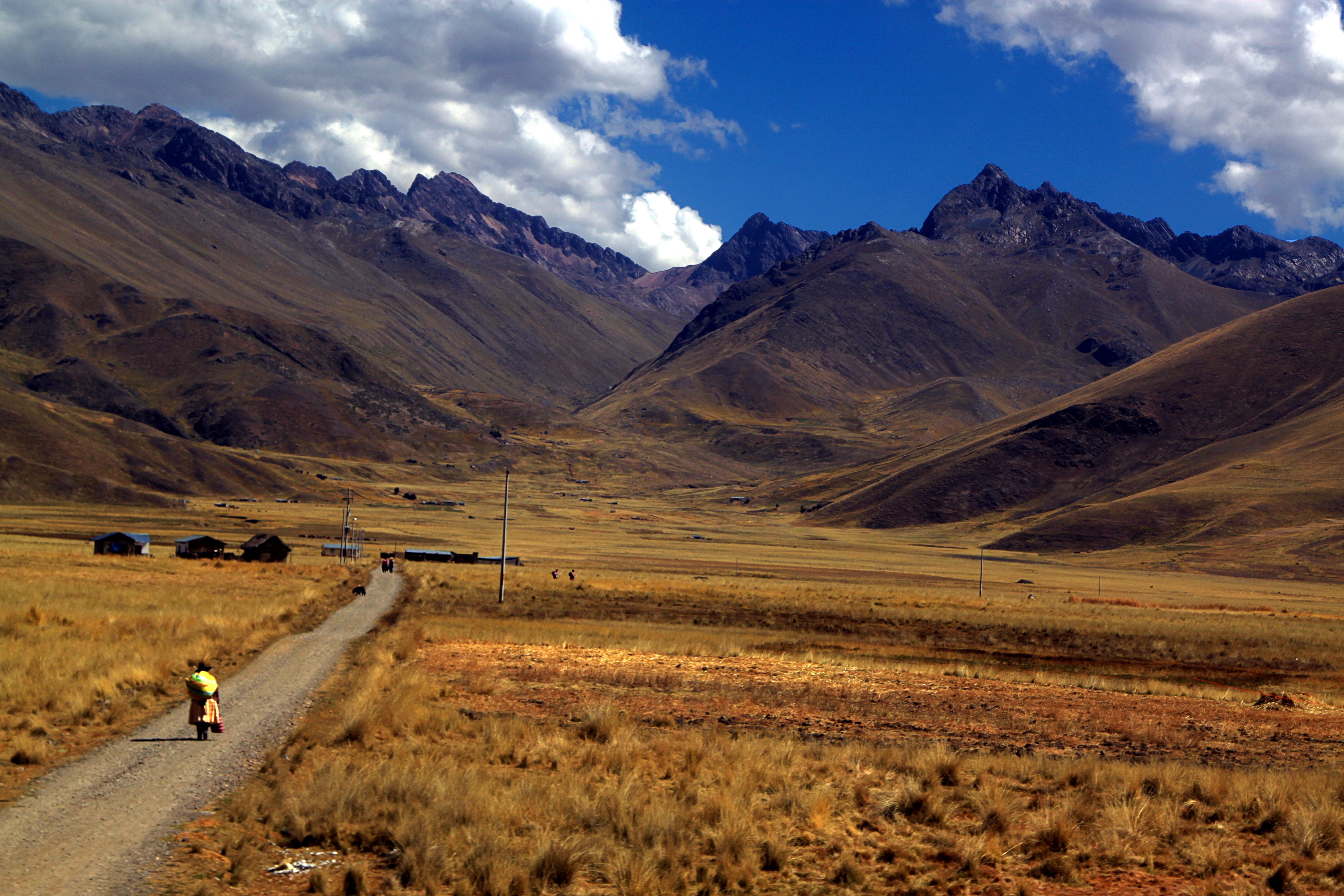
Andando na estrada
Topographic Map of Carretera Interoceanica, Peru
Find elevation by address:

Places near Carretera Interoceanica, Peru:
Carretera Interoceanica, Peru
Marcapata District
Quispicanchi Province
Nevado Auzangate
Aguas Termales Pacchanta
Pacchanta Hostal
Pajchanta
Quince Mil
Vinicunca Rainbow Mountain
Rainbow Mountain
Cordillera Arcoiris De Pallcoyo
Mazuco
Chiforongo
Manú Province
Cusco
Andahuaylillas
Pillcopata
Recent Searches:
- Elevation of Corso Fratelli Cairoli, 35, Macerata MC, Italy
- Elevation of Tallevast Rd, Sarasota, FL, USA
- Elevation of 4th St E, Sonoma, CA, USA
- Elevation of Black Hollow Rd, Pennsdale, PA, USA
- Elevation of Oakland Ave, Williamsport, PA, USA
- Elevation of Pedrógão Grande, Portugal
- Elevation of Klee Dr, Martinsburg, WV, USA
- Elevation of Via Roma, Pieranica CR, Italy
- Elevation of Tavkvetili Mountain, Georgia
- Elevation of Hartfords Bluff Cir, Mt Pleasant, SC, USA