Elevation of Mazuco, Peru
Location: Peru > Madre De Dios > Tambopata >
Longitude: -70.368262
Latitude: -13.097472
Elevation: 352m / 1155feet
Barometric Pressure: 97KPa
Elevation Map:
Satellite Map:
Related Photos:
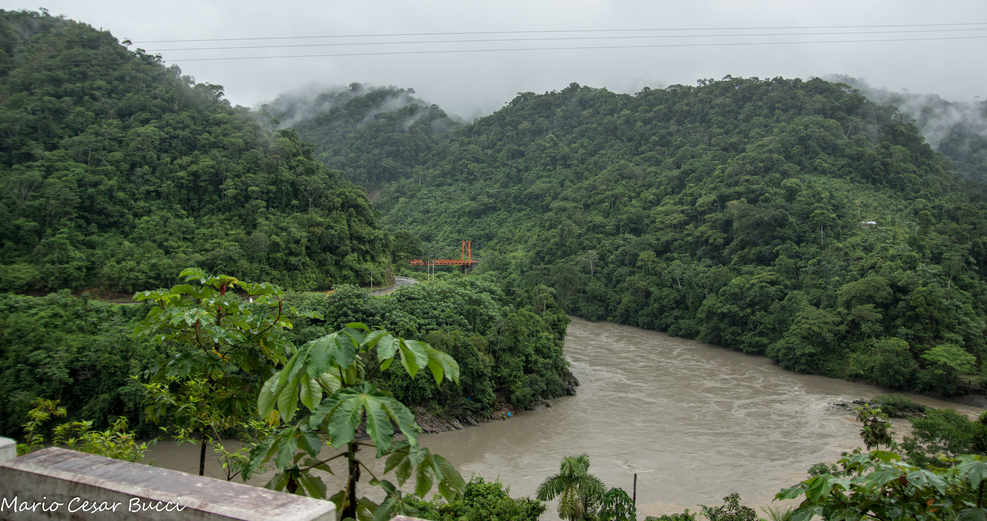
DSC09813
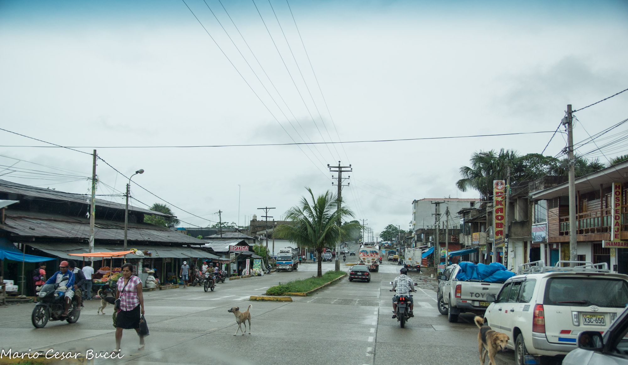
DSC09833

DSC09803
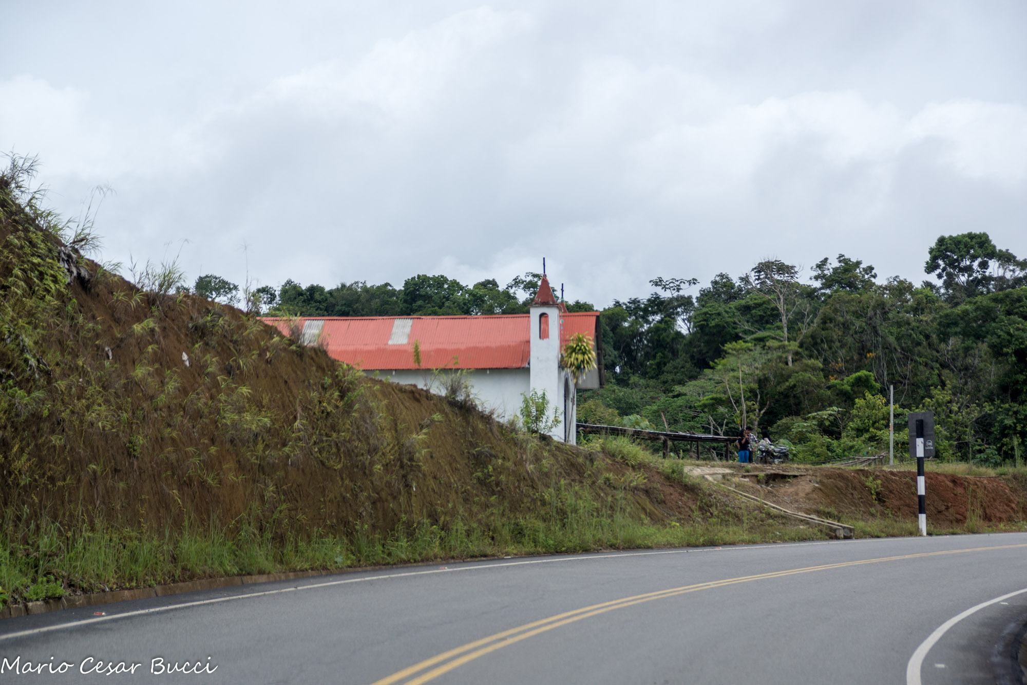
DSC09856

DSC09810

2014-09-13_Puerto-Maldonado-0035

Pedras ao rio em Madre de Dios
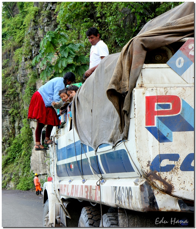
Viajando de carona
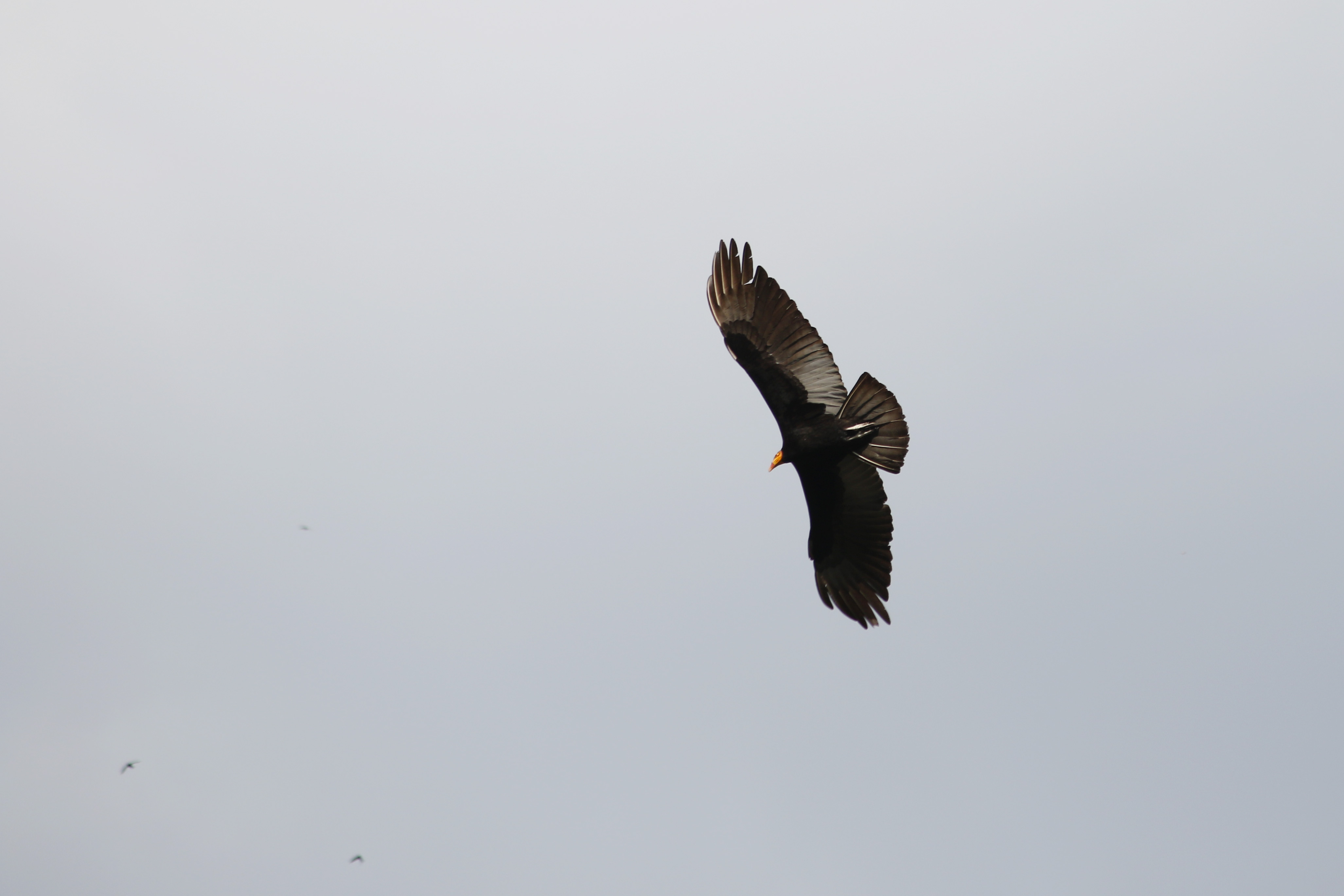
Greater yellow-headed vulture (Cathartes melambrotus)
Topographic Map of Mazuco, Peru
Find elevation by address:

Places in Mazuco, Peru:
Places near Mazuco, Peru:
Chiforongo
Manú Province
Quince Mil
Carretera Interoceanica, Peru
Marcapata District
Quispicanchi Province
Carretera Interoceanica, Peru
Pillcopata
Aguas Termales Pacchanta
Pacchanta Hostal
Pajchanta
Nevado Auzangate
Rainbow Mountain
Vinicunca Rainbow Mountain
Cordillera Arcoiris De Pallcoyo
Andahuaylillas
Cusco
Recent Searches:
- Elevation of Corso Fratelli Cairoli, 35, Macerata MC, Italy
- Elevation of Tallevast Rd, Sarasota, FL, USA
- Elevation of 4th St E, Sonoma, CA, USA
- Elevation of Black Hollow Rd, Pennsdale, PA, USA
- Elevation of Oakland Ave, Williamsport, PA, USA
- Elevation of Pedrógão Grande, Portugal
- Elevation of Klee Dr, Martinsburg, WV, USA
- Elevation of Via Roma, Pieranica CR, Italy
- Elevation of Tavkvetili Mountain, Georgia
- Elevation of Hartfords Bluff Cir, Mt Pleasant, SC, USA