Elevation of Quill Rd, Copperopolis, CA, USA
Location: United States > California > Calaveras County > Copperopolis >
Longitude: -120.61008
Latitude: 37.941621
Elevation: 212m / 696feet
Barometric Pressure: 99KPa
Elevation Map:
Satellite Map:
Related Photos:
Utica Wheel

Best When Unexpected
Progress Forgotten
Action & Drama
Panoramic: Knights Ferry

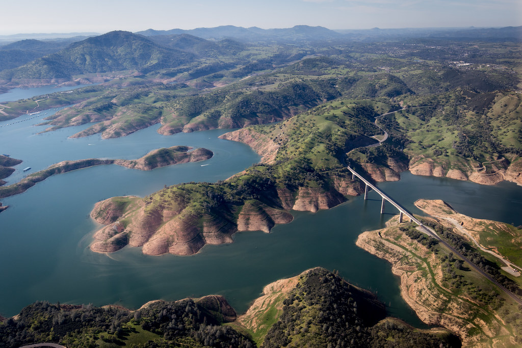
Lake Views

If only in b&w

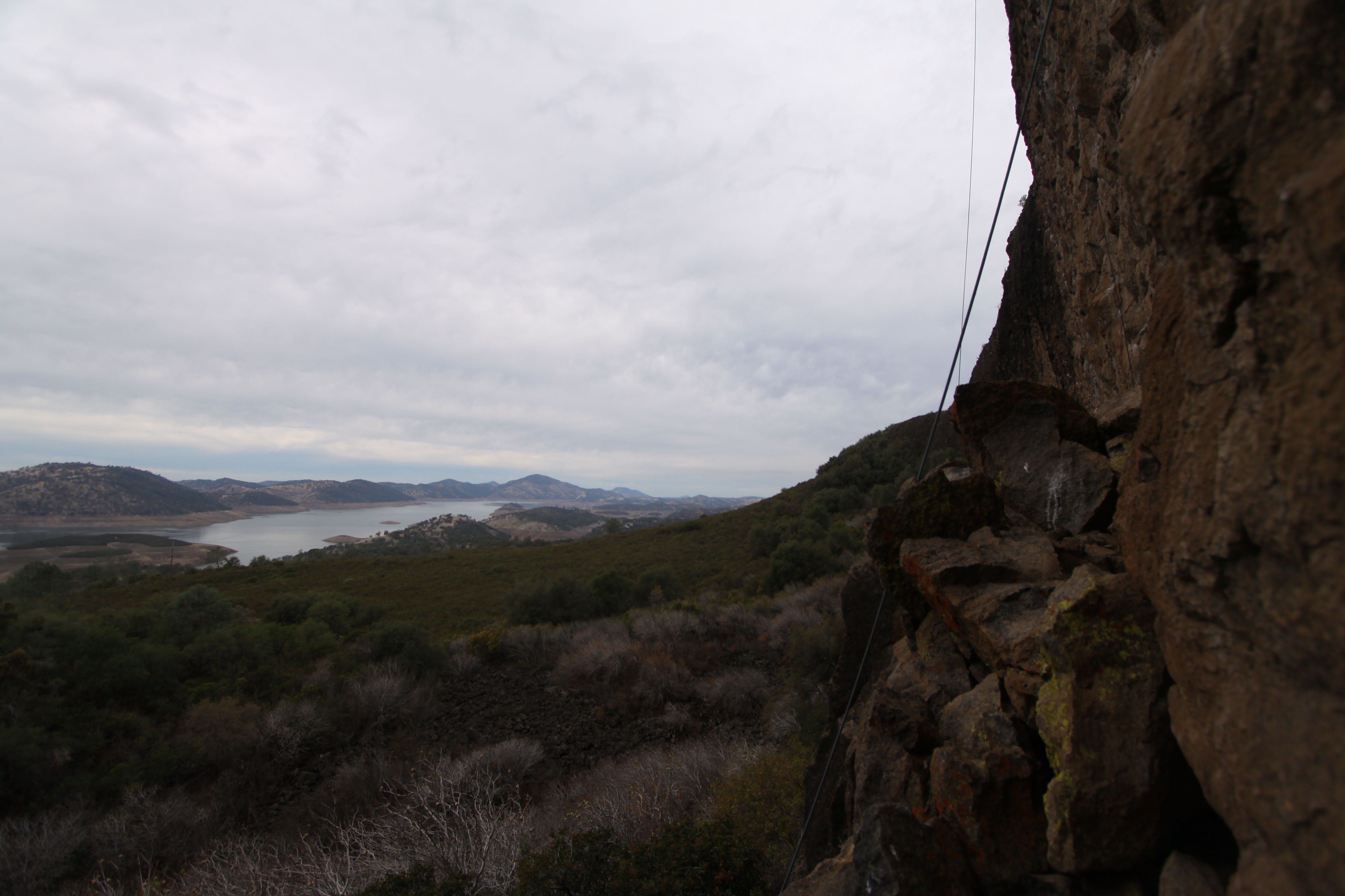
Lake Views
1970 Myers Manx

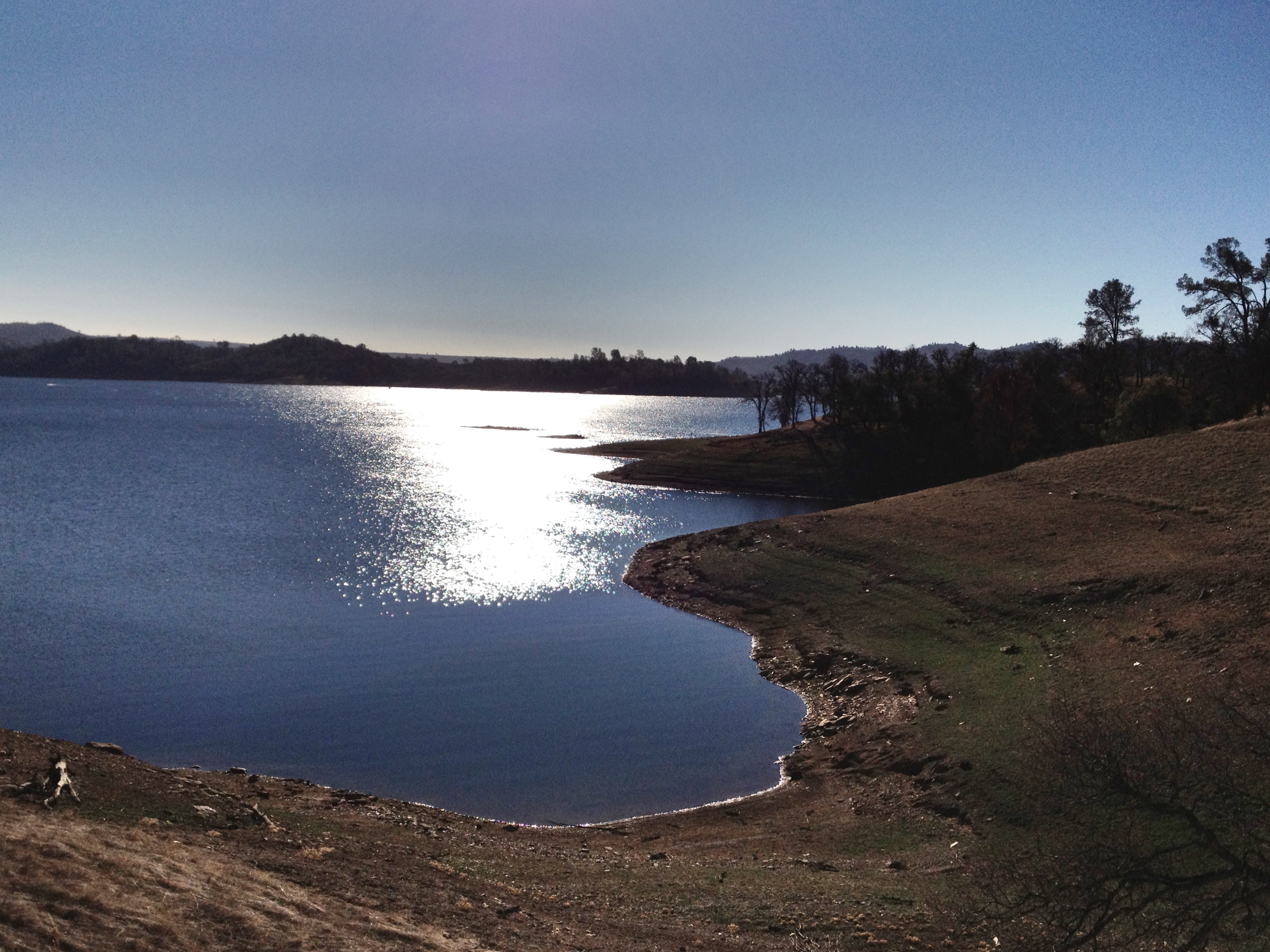
Lake Views
Est. 1860

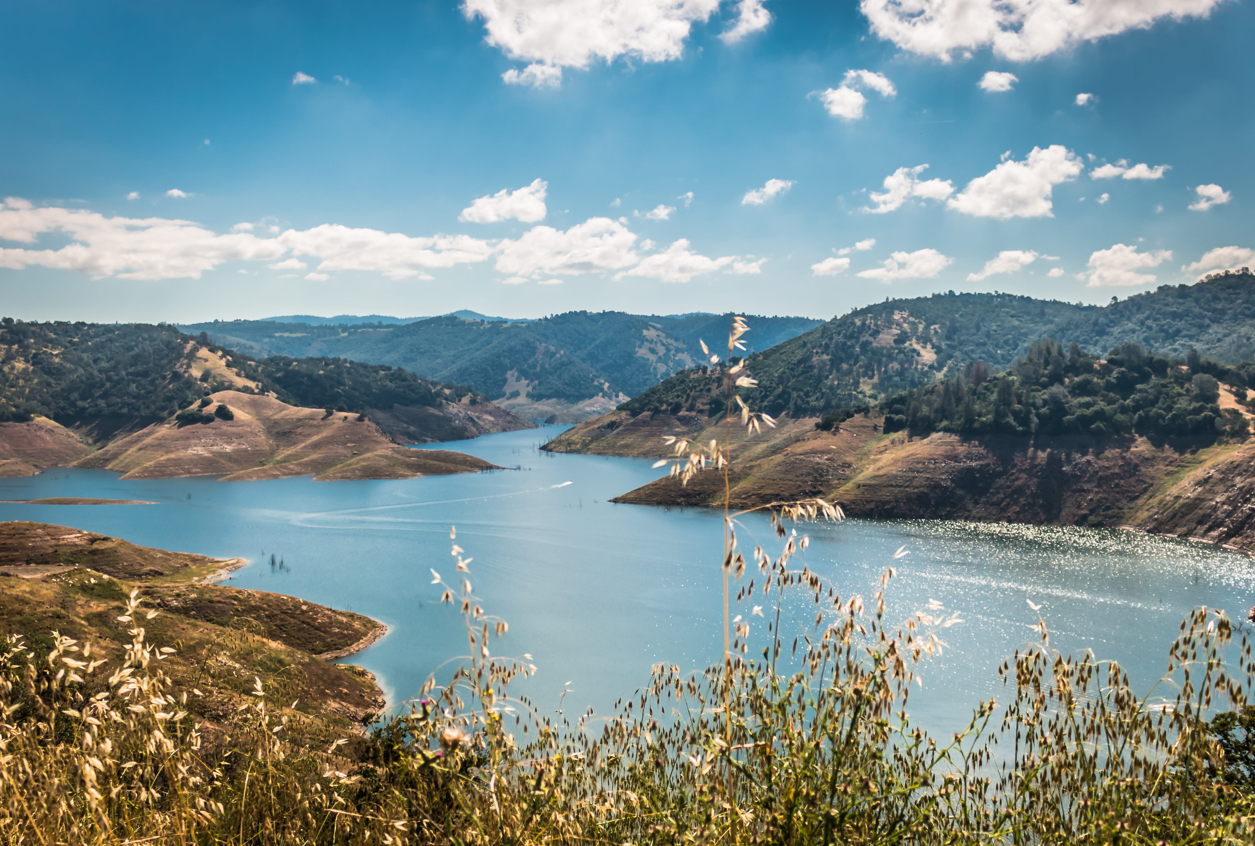
Lake Views

Friends New Melonies
Panoramic: Knights Ferry

2018 Presidents Day Weekend Campout in Angles Camp
Campout in Angels Camp, CA
Doggie in the Window
Day 271: Knight's Ferry

Covered bridge interior
wind burnt

Lake Views
Sierra Northern Along Highway 108

Mono Lake 1
Central-_Valley_CA_20150308-2838
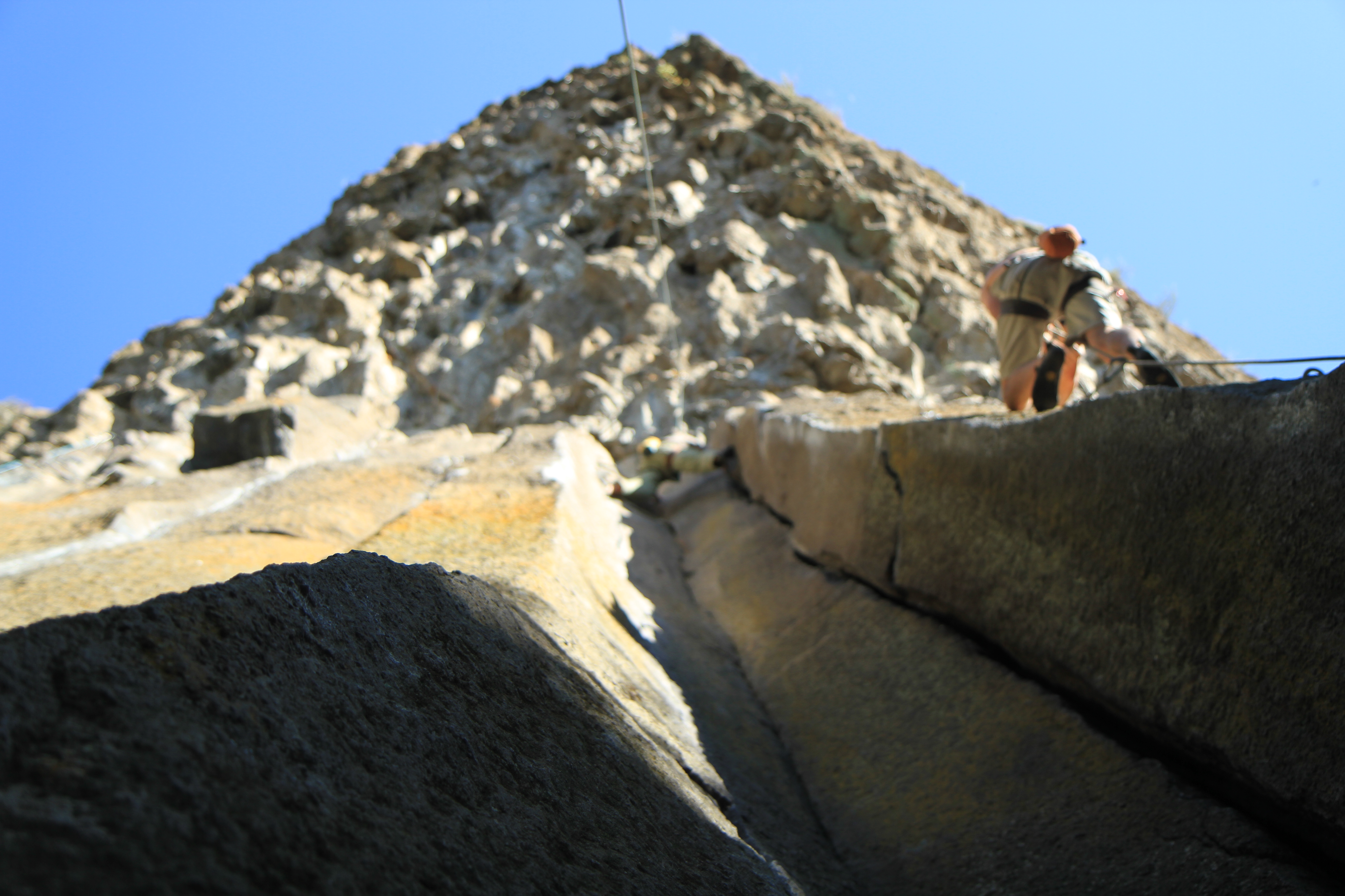
20100619_The Grotto_0164
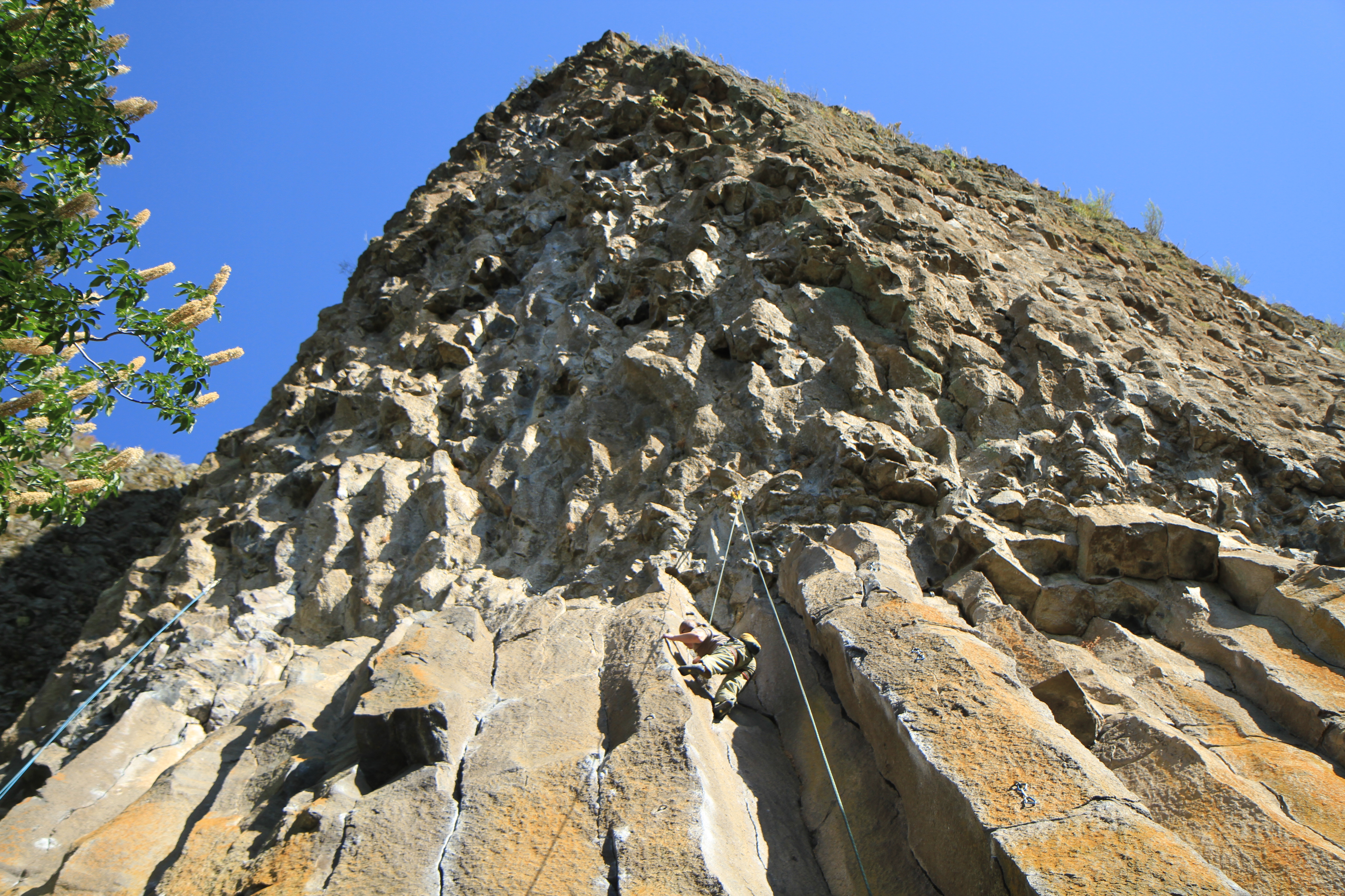
20090405_Gold Wall_0528
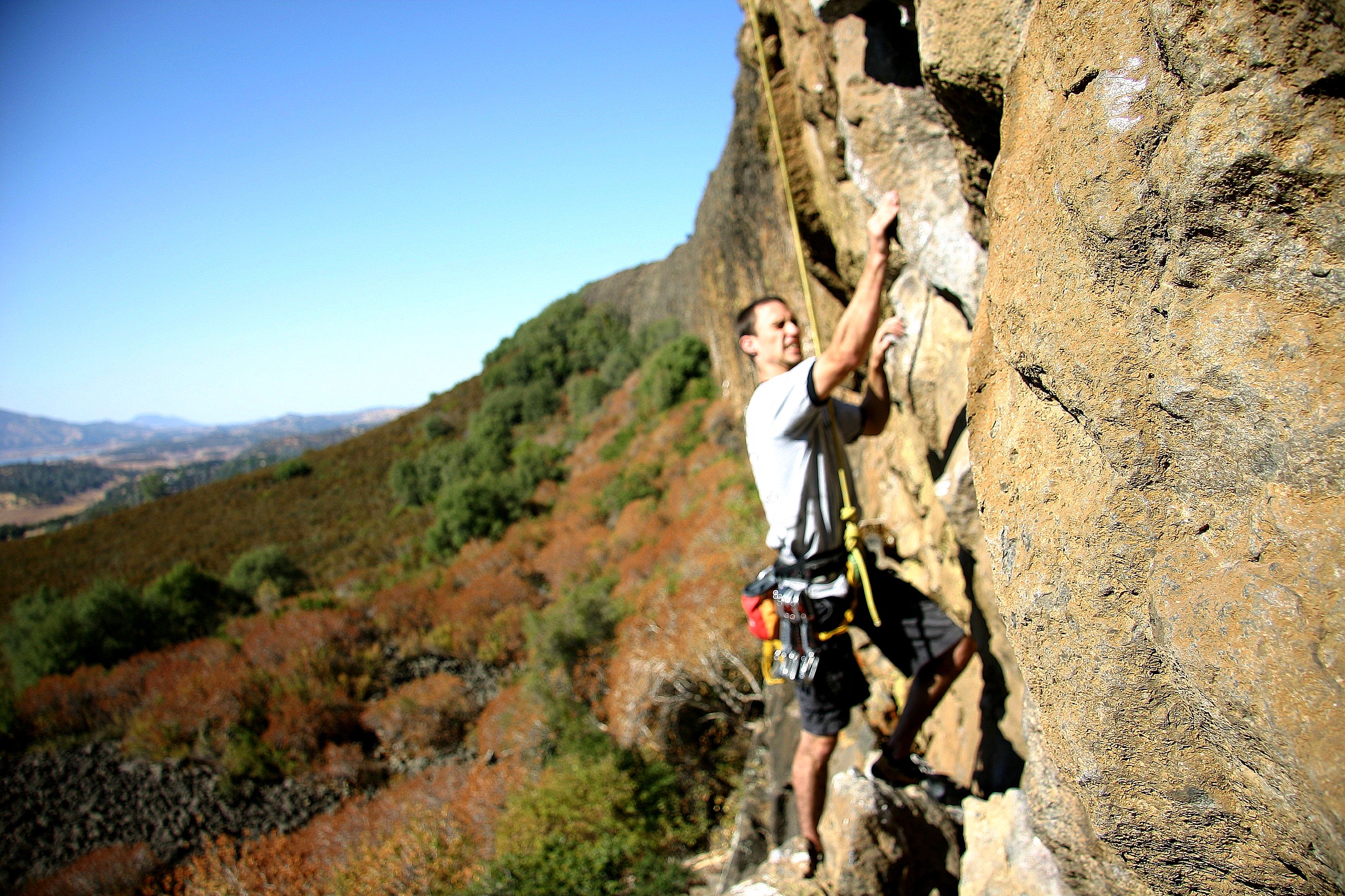
20090405_Gold Wall_0529
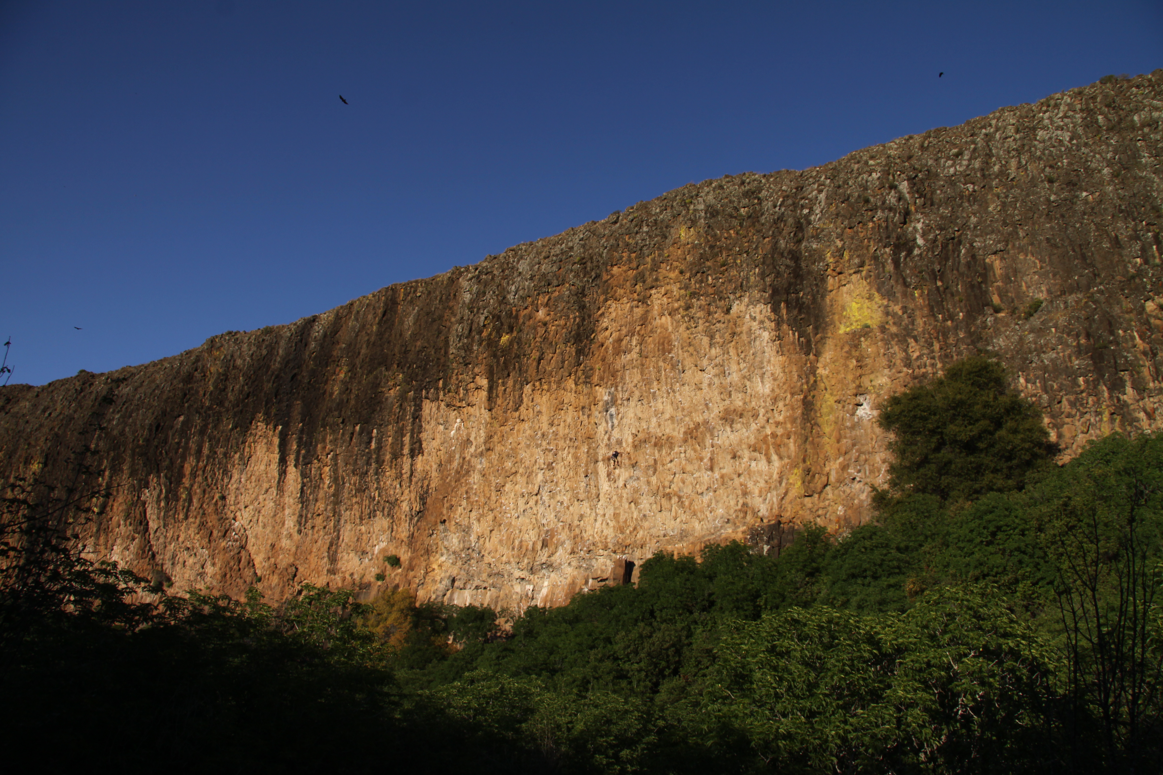
20091018_Gold Wall_0145
2012-01-16 10.26.14
Melones Lake
leaving angels camp
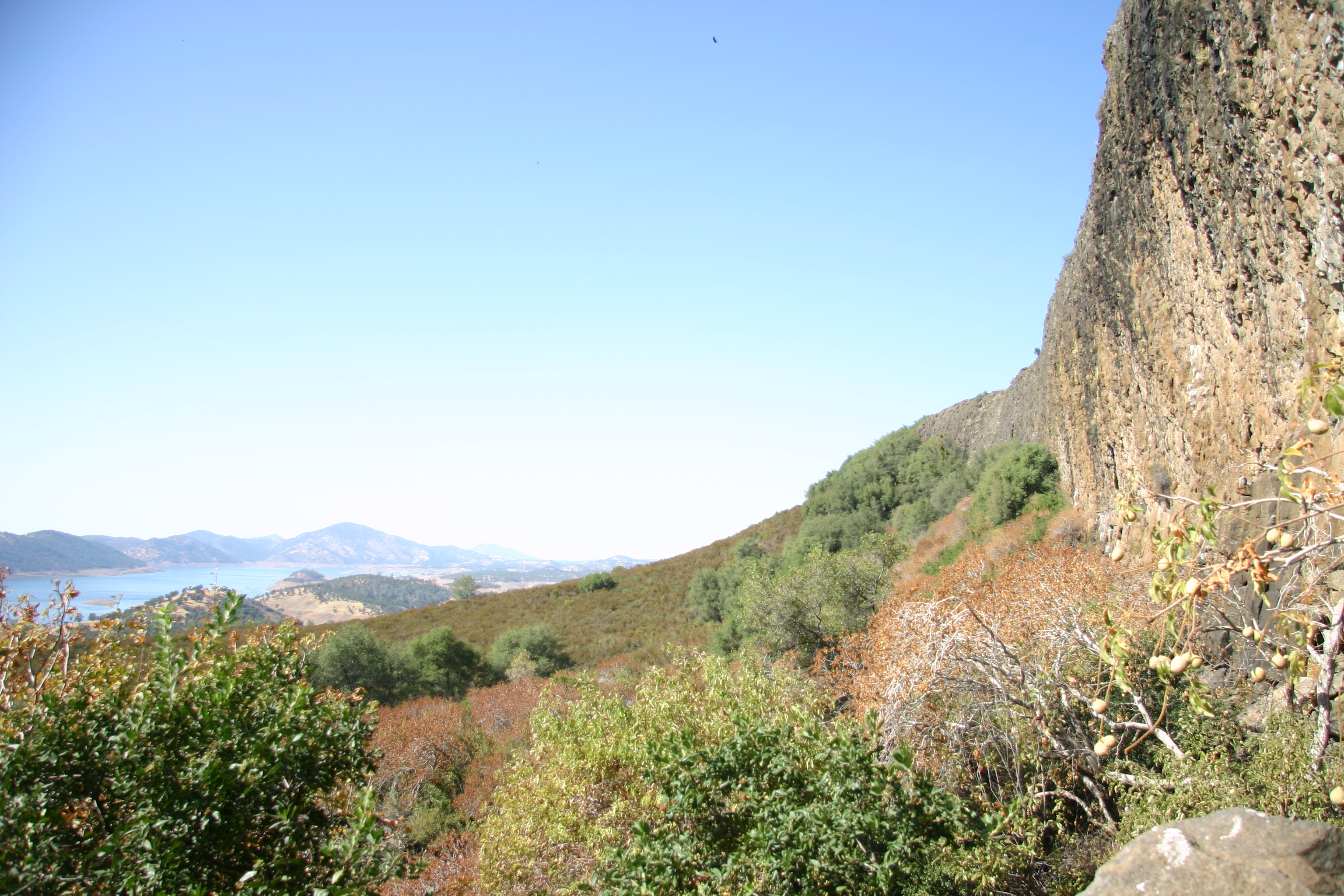
20090405_Gold Wall_0586
Windmill and Oak Tree, Keystone, CA
20100619_The Grotto_0025
2012-05-20 09.23.40

Gold Wall 201
20100619_The Grotto_0160
Gold Wall 215
20090405_Gold Wall_0584
Gold Wall 191
Topographic Map of Quill Rd, Copperopolis, CA, USA
Find elevation by address:

Places near Quill Rd, Copperopolis, CA, USA:
864 Quill Rd
217 Pheasant Run Dr
172 Black Creek Dr
2208 Buffalo Way
2513 Buffalo Way
1228 Cheyenne Rd
1464 Papoose Dr
2253 Chief Rd
1657 Mono Ct
1621 Cheyenne Rd
1590 Sawmill Rd
1677 Cheyenne Rd
2188 Choctaw Rd
1770 Sawmill Rd
1829 Sawmill Rd
2297 Choctaw Rd
2370 Nabo Ct
Bow Dr, Copperopolis, CA, USA
2214 Cheyenne Rd
2262 Cheyenne Rd
Recent Searches:
- Elevation of Corso Fratelli Cairoli, 35, Macerata MC, Italy
- Elevation of Tallevast Rd, Sarasota, FL, USA
- Elevation of 4th St E, Sonoma, CA, USA
- Elevation of Black Hollow Rd, Pennsdale, PA, USA
- Elevation of Oakland Ave, Williamsport, PA, USA
- Elevation of Pedrógão Grande, Portugal
- Elevation of Klee Dr, Martinsburg, WV, USA
- Elevation of Via Roma, Pieranica CR, Italy
- Elevation of Tavkvetili Mountain, Georgia
- Elevation of Hartfords Bluff Cir, Mt Pleasant, SC, USA