Elevation map of Pyin Oo Lwin, Myanmar (Burma)
Location: Myanmar (burma) > Mandalay Region >
Longitude: 96.1526985
Latitude: 22.4076256
Elevation: 124m / 407feet
Barometric Pressure: 100KPa
Elevation Map:
Satellite Map:
Related Photos:
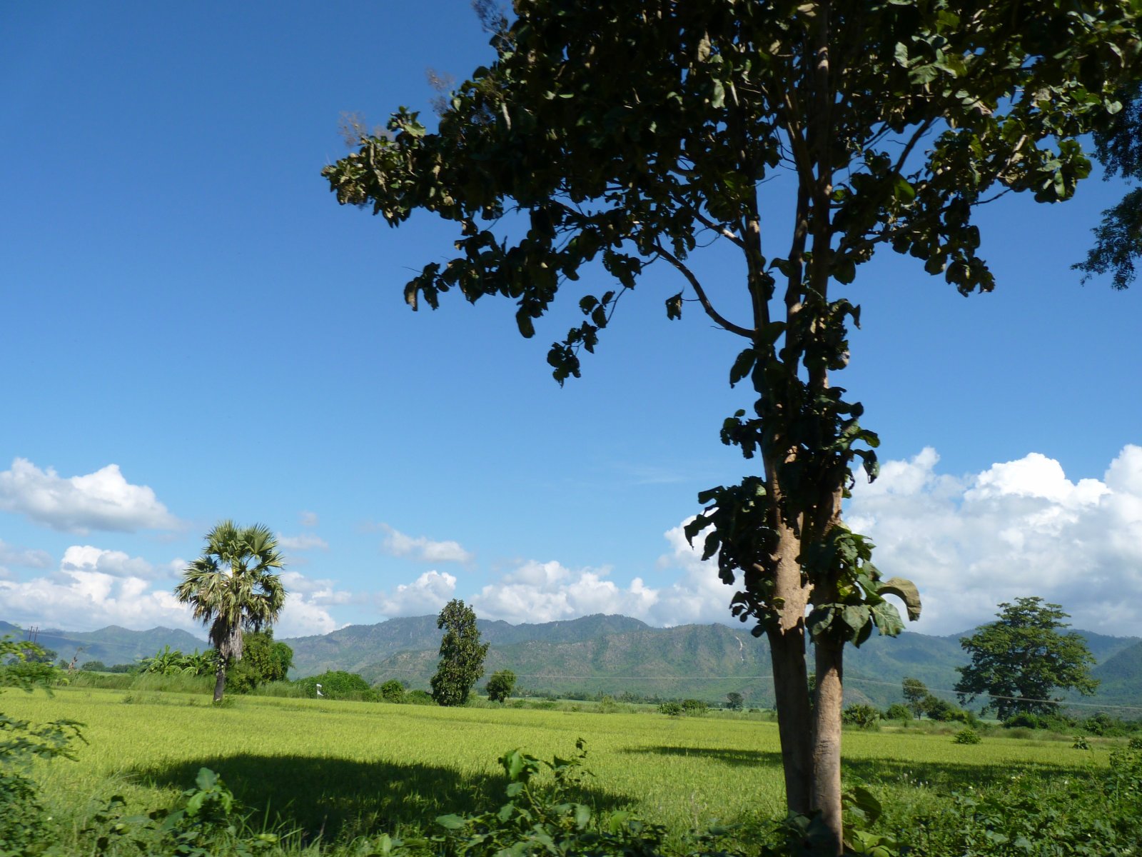
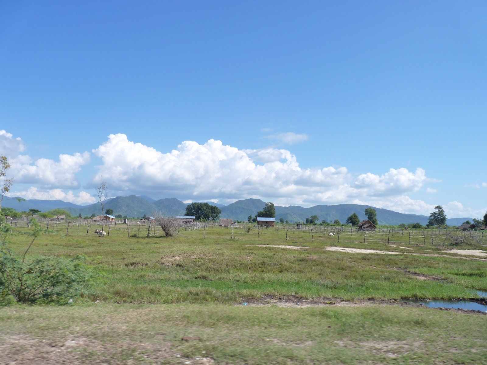
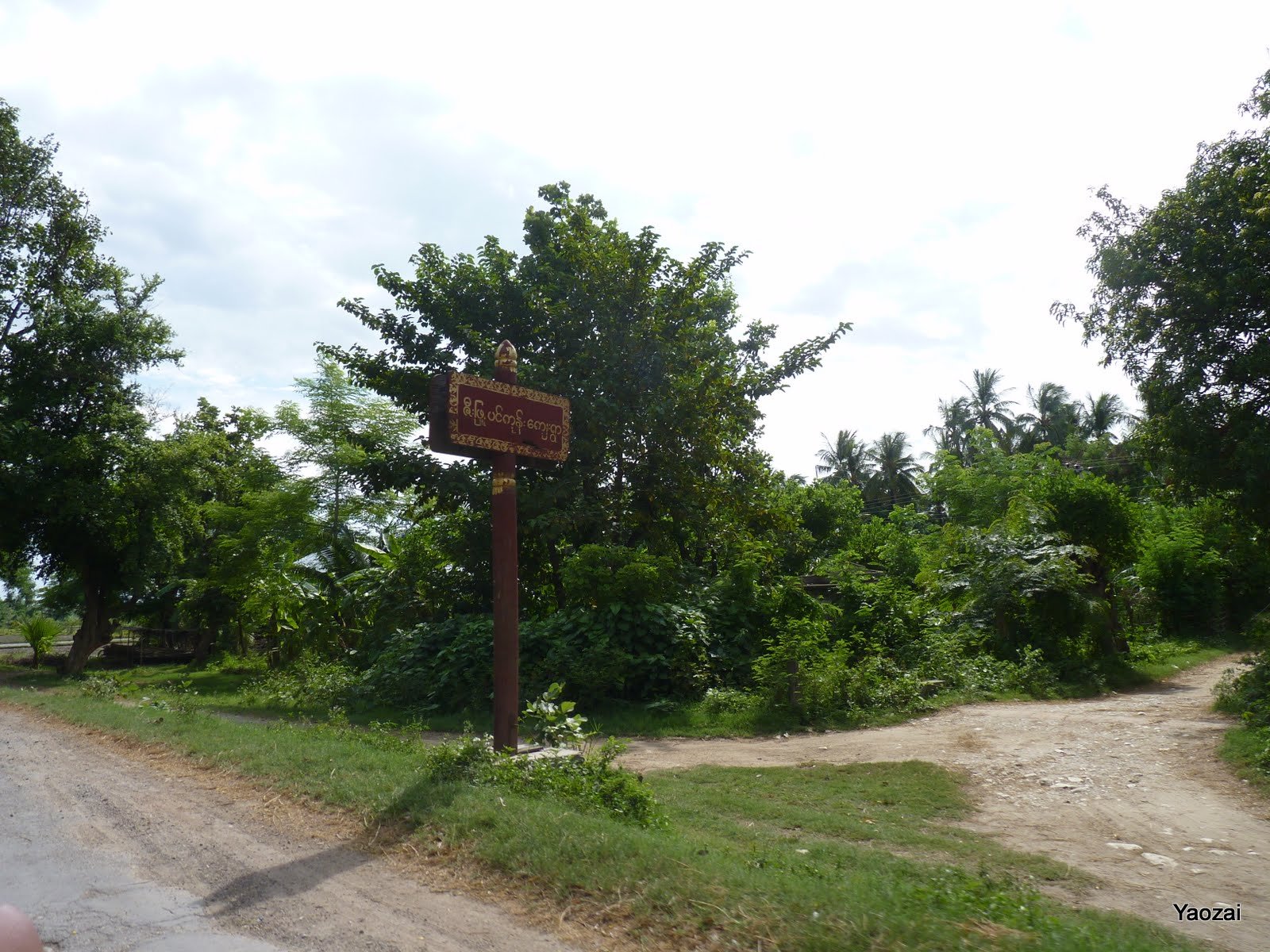
P1230488
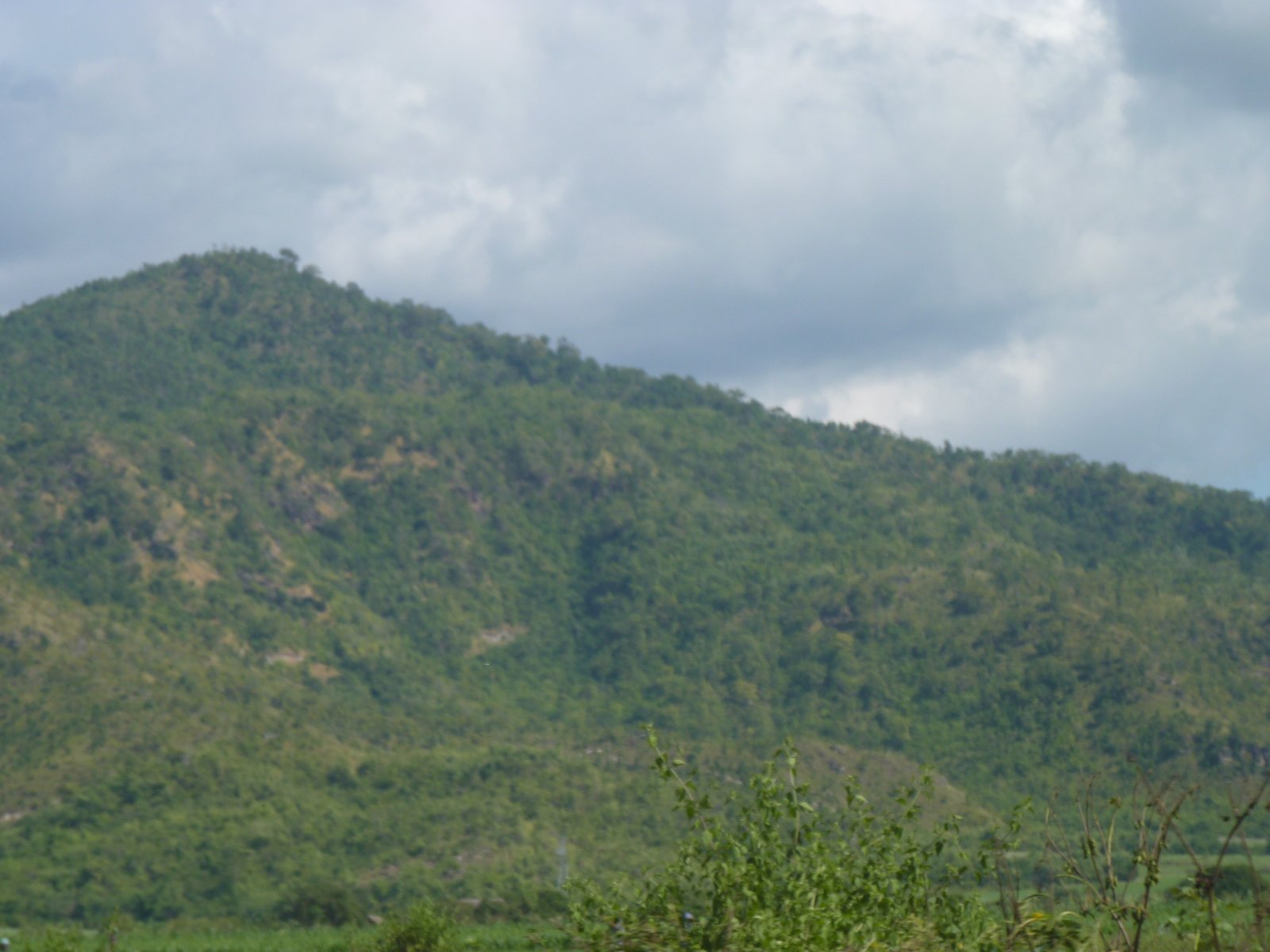
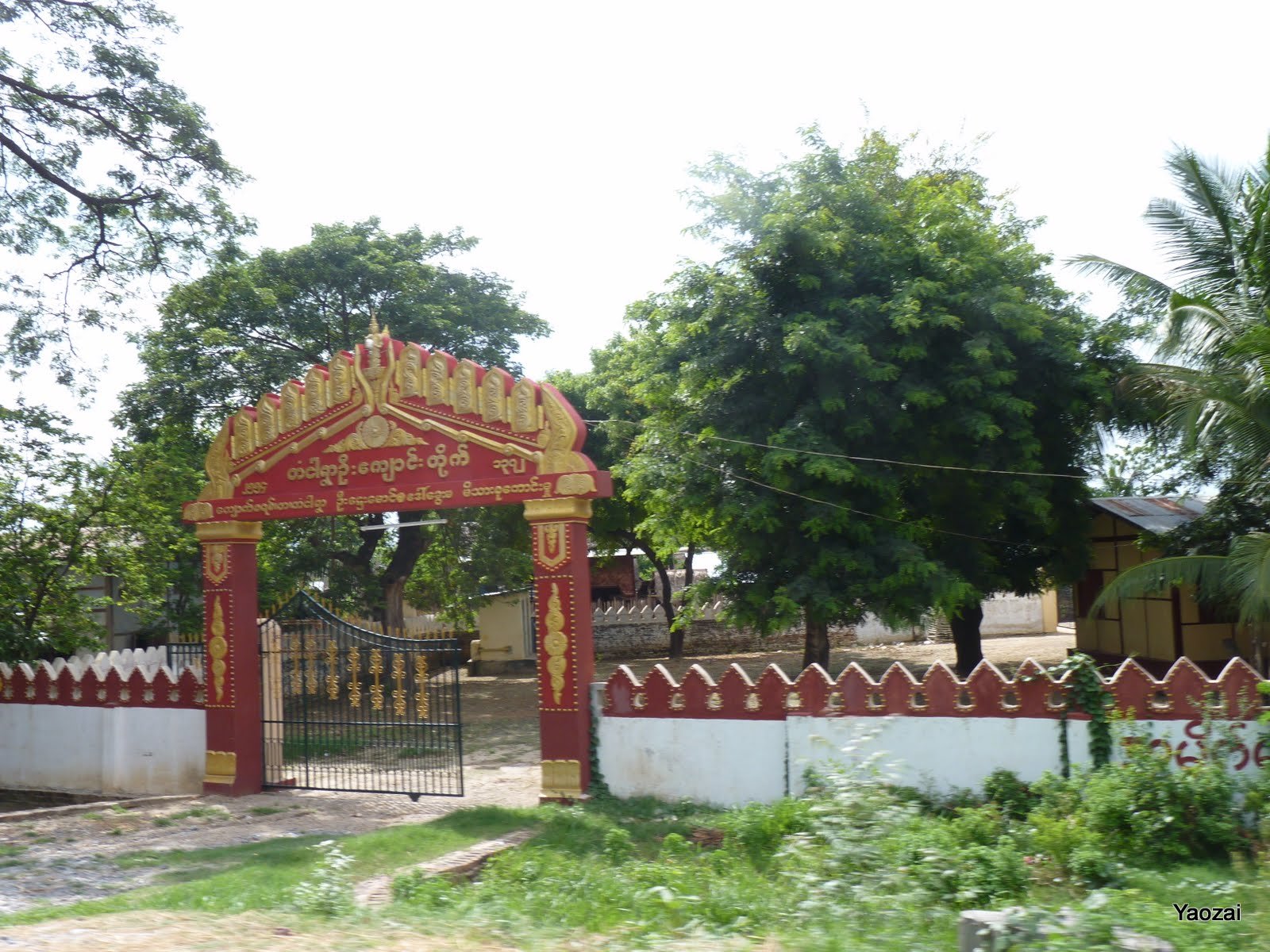
P1230489

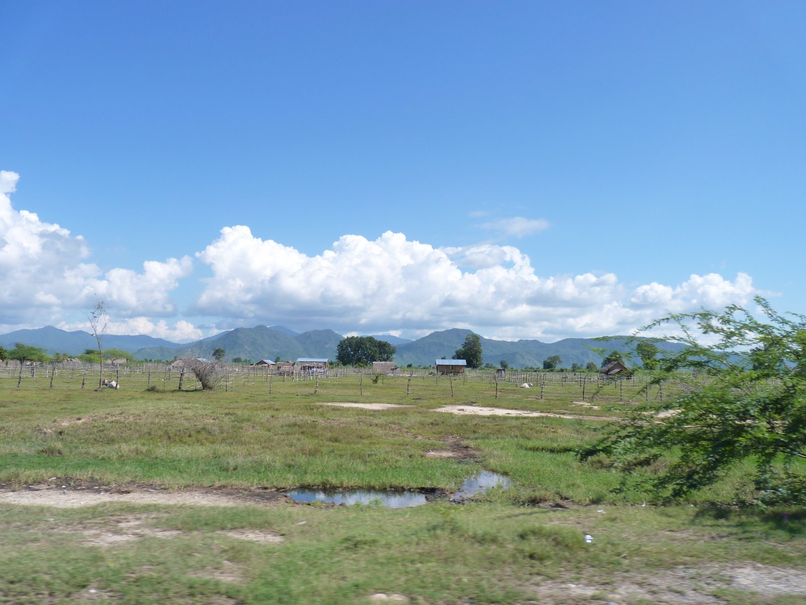
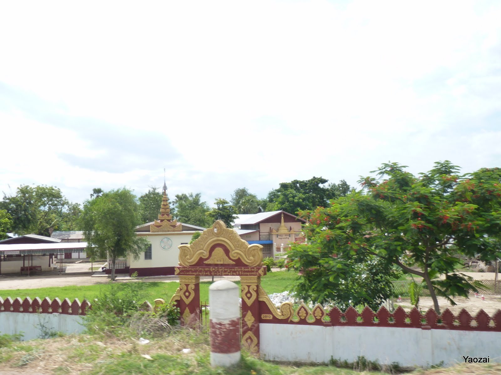
P1230503
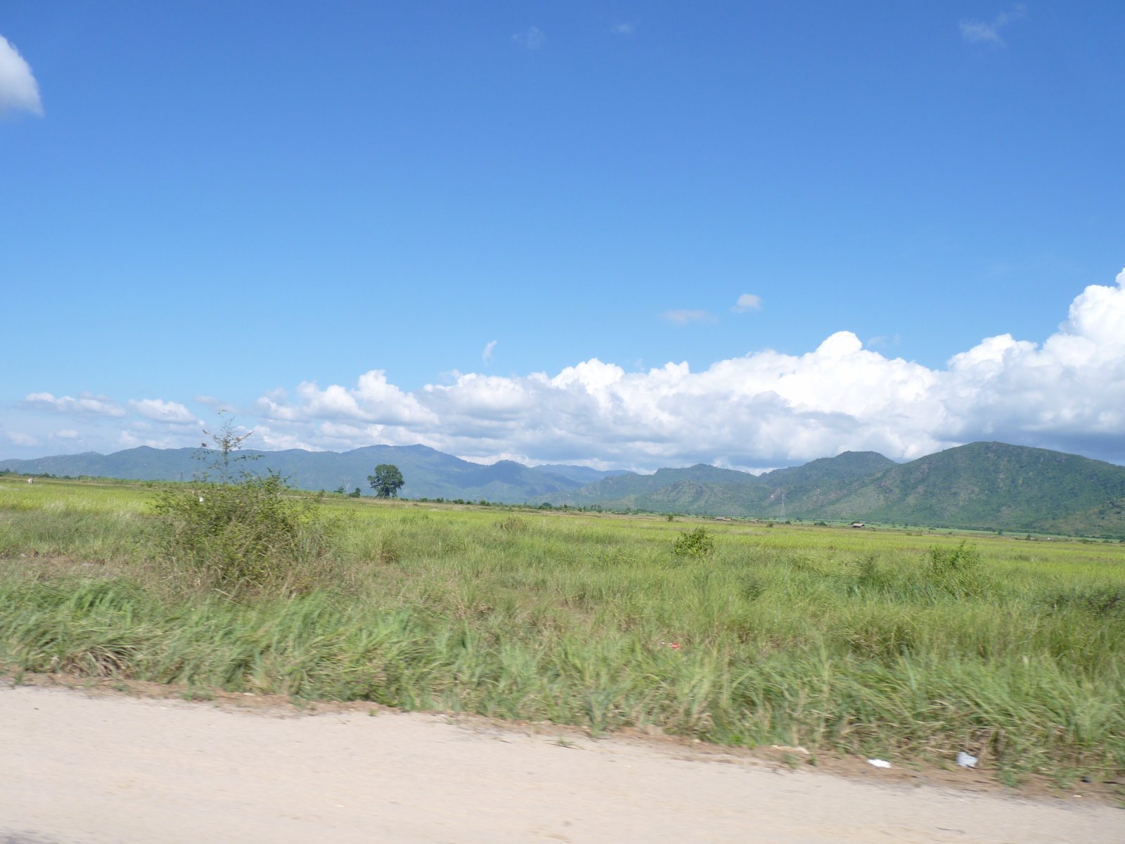
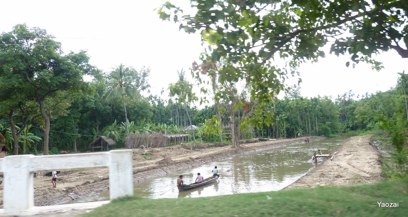
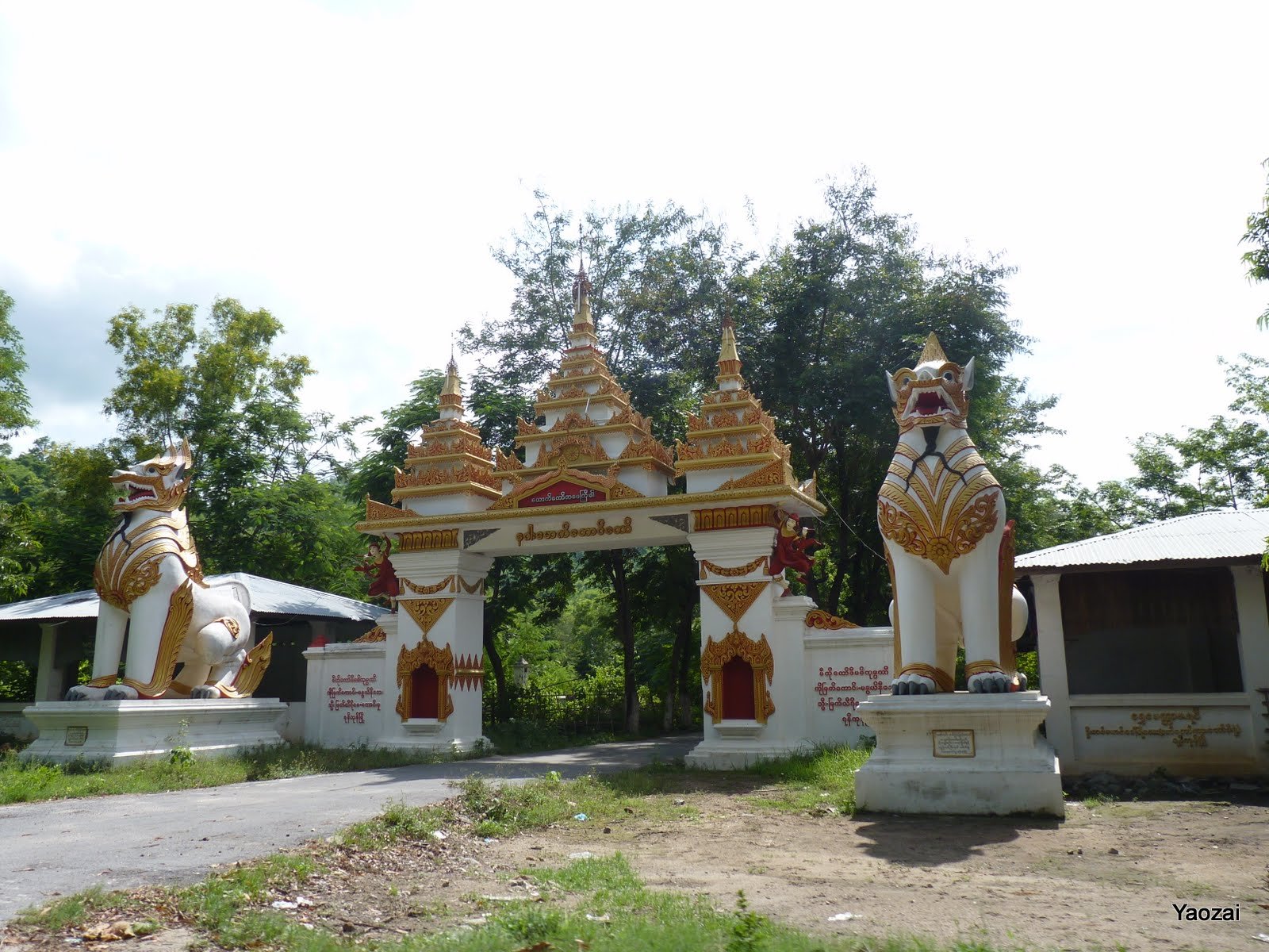
P1230504

P1230494
P1230493
P1230497
P1230495
P1230498

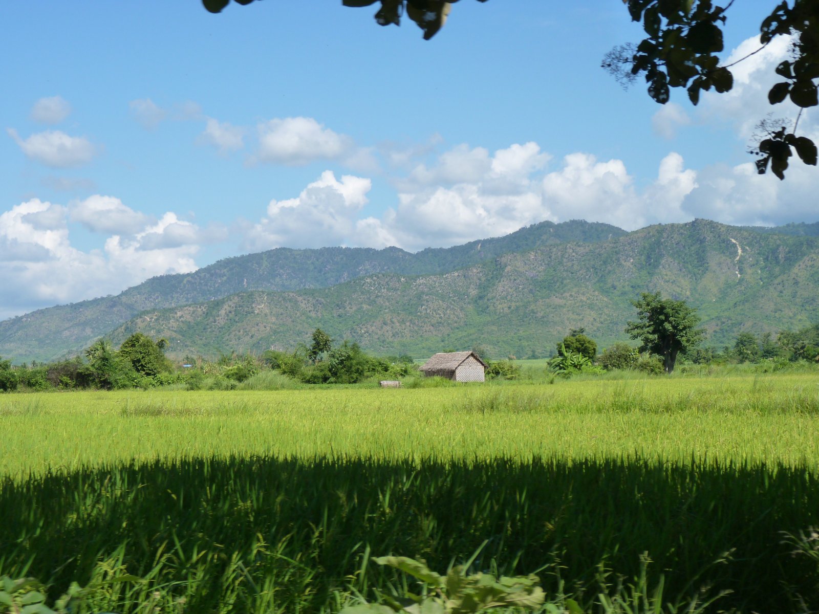
P1120835
P1120806
P1120805
P1120804
P1120802

P1120801

P1120799

P1120798

P1120789

P1120787
P1120786

P1120785
Topographic Map of Pyin Oo Lwin, Myanmar (Burma)
Find elevation by address:

Places in Pyin Oo Lwin, Myanmar (Burma):
Places near Pyin Oo Lwin, Myanmar (Burma):
Wetlet
Wetlet
Min Kun
Mandalay
Pyin Oo Lwin
Kyauk Mee
Mandalay
Amarapura
Pyinoolwin
Sagaing
Myanmar (burma)
Peik Chin Myaung Road
Inn Wa
Nawnghkio
Kyaukse District
Kyaukse
Natogyi
Mandalay Region
Myingyan
Ywangan
Recent Searches:
- Elevation of Corso Fratelli Cairoli, 35, Macerata MC, Italy
- Elevation of Tallevast Rd, Sarasota, FL, USA
- Elevation of 4th St E, Sonoma, CA, USA
- Elevation of Black Hollow Rd, Pennsdale, PA, USA
- Elevation of Oakland Ave, Williamsport, PA, USA
- Elevation of Pedrógão Grande, Portugal
- Elevation of Klee Dr, Martinsburg, WV, USA
- Elevation of Via Roma, Pieranica CR, Italy
- Elevation of Tavkvetili Mountain, Georgia
- Elevation of Hartfords Bluff Cir, Mt Pleasant, SC, USA