Elevation of Natogyi, Myanmar (Burma)
Location: Myanmar (burma) > Mandalay Region > Myingyan >
Longitude: 95.6589414
Latitude: 21.4246492
Elevation: 237m / 778feet
Barometric Pressure: 99KPa
Elevation Map:
Satellite Map:
Related Photos:

R0080870.JPG
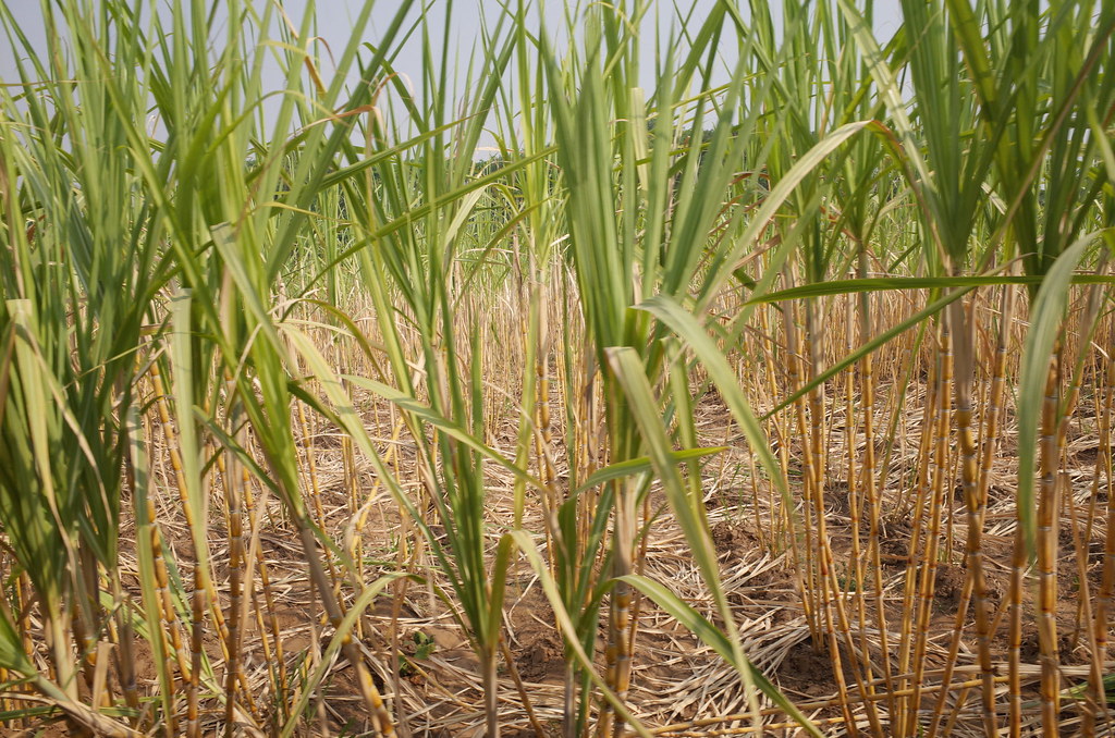
R0080867.JPG

R0080863.JPG

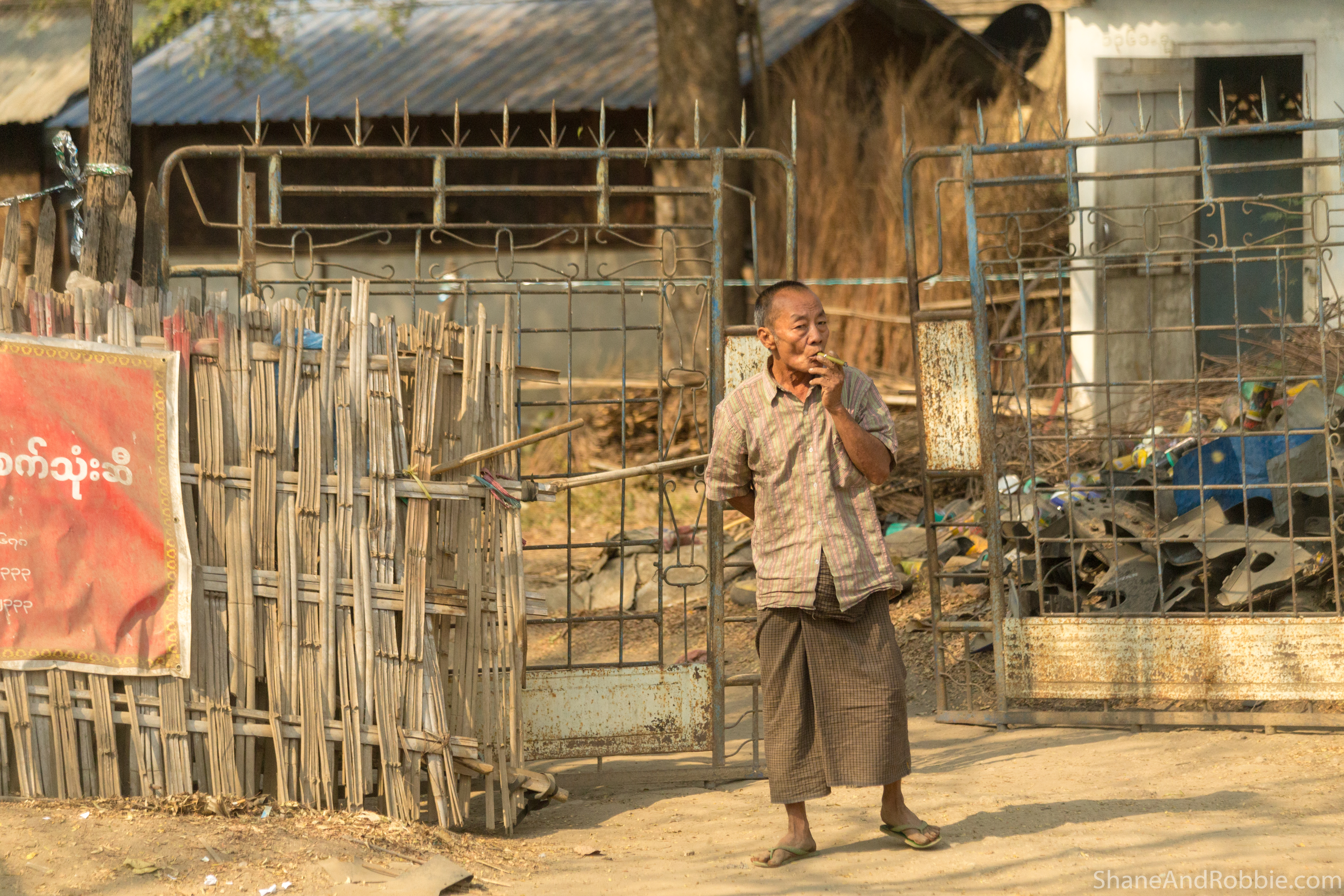
Myanmar-20180322-0724

Myanmar-20180322-0727

Myanmar-20180322-0733

Myanmar-20180322-0736

Myanmar-20180322-0741

Myanmar-20180322-0746

Myanmar-20180322-0752

Myanmar-20180322-0754

Myanmar-20180322-0757

Myanmar-20180322-0758

Myanmar-20180322-0761

Myanmar-20180322-0768

Myanmar-20180322-0771

Myanmar-20180322-0774

Myanmar-20180322-0719

Myanmar-20180322-0745

Myanmar-20180322-0763
Myanmar-20180322-0772

Bagan to Mandalay

Bagan to Mandalay

Bagan, Myanmar
Topographic Map of Natogyi, Myanmar (Burma)
Find elevation by address:

Places near Natogyi, Myanmar (Burma):
Mahlaing
Mandalay Region
Myingyan
Kyaukse
Inn Wa
Kyaukse District
Myanmar (burma)
Sagaing
Amarapura
Mandalay
Mandalay
Kyauk Mee
Min Kun
Ywangan
Wetlet
Wetlet
Pyin Oo Lwin
Pyinoolwin
Pyin Oo Lwin
Peik Chin Myaung Road
Recent Searches:
- Elevation of Corso Fratelli Cairoli, 35, Macerata MC, Italy
- Elevation of Tallevast Rd, Sarasota, FL, USA
- Elevation of 4th St E, Sonoma, CA, USA
- Elevation of Black Hollow Rd, Pennsdale, PA, USA
- Elevation of Oakland Ave, Williamsport, PA, USA
- Elevation of Pedrógão Grande, Portugal
- Elevation of Klee Dr, Martinsburg, WV, USA
- Elevation of Via Roma, Pieranica CR, Italy
- Elevation of Tavkvetili Mountain, Georgia
- Elevation of Hartfords Bluff Cir, Mt Pleasant, SC, USA