Elevation of Pusat Internet Bandar Petri Jaya, Kota Tinggi, Johor, Malaysia
Location: Malaysia > Johor >
Longitude: 103.768922
Latitude: 1.8265036
Elevation: 52m / 171feet
Barometric Pressure: 101KPa
Elevation Map:
Satellite Map:
Related Photos:
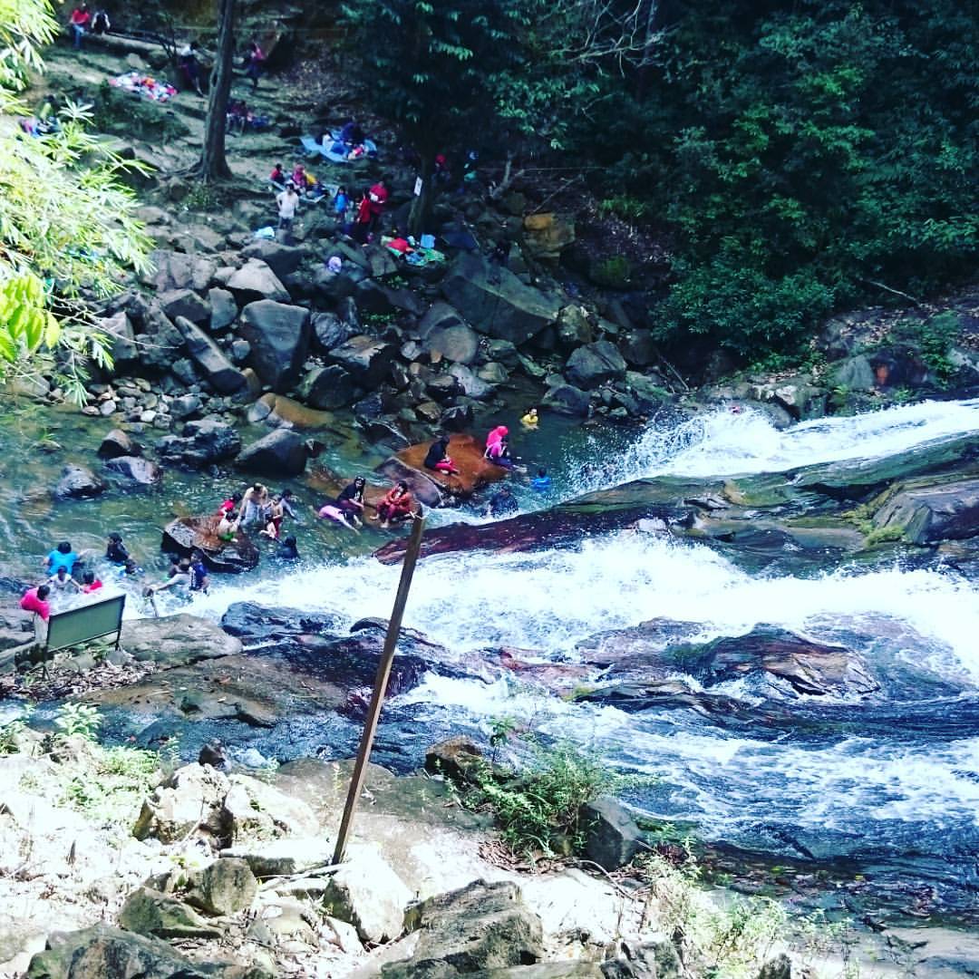
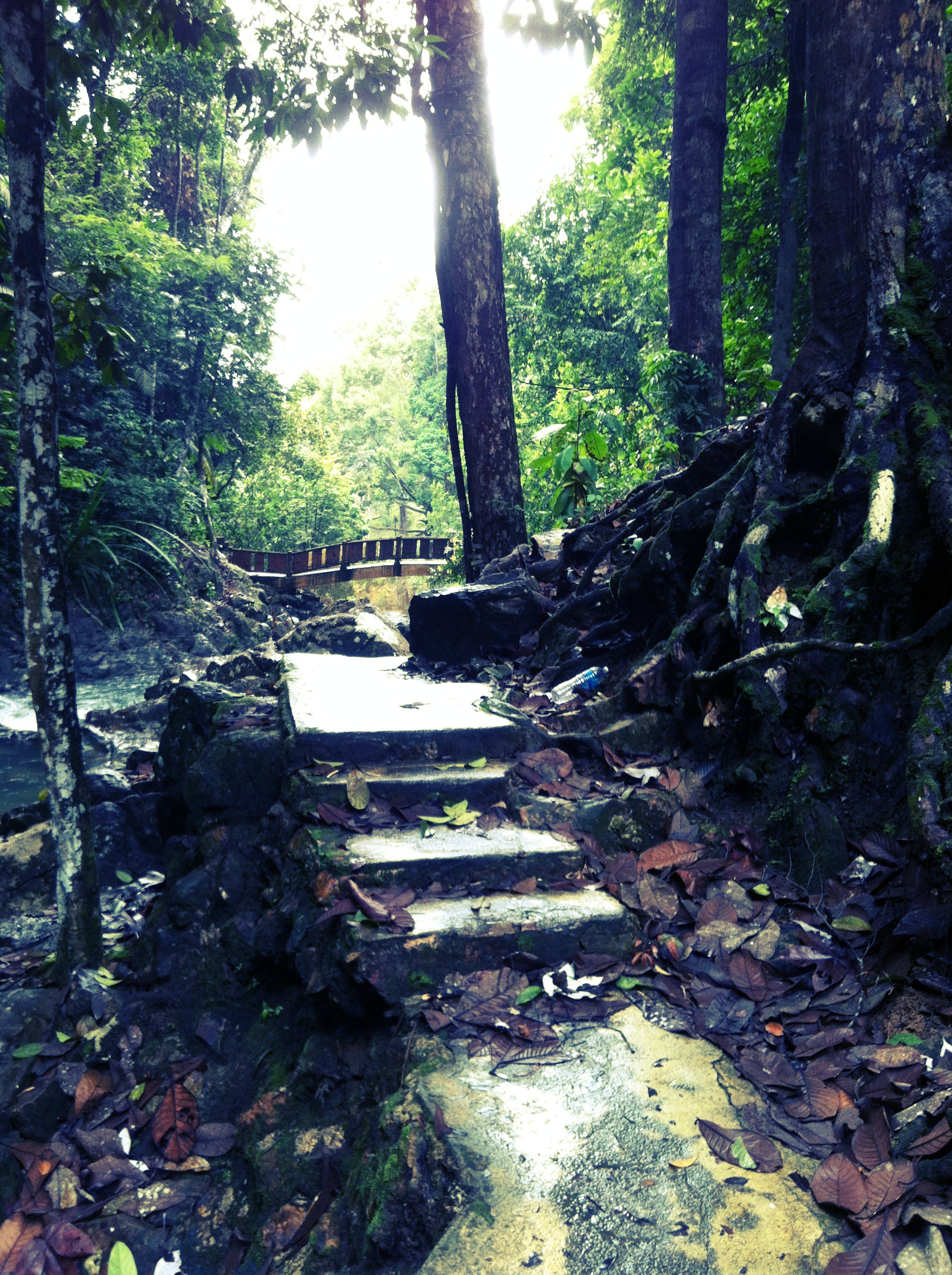
View down from the stairs towards the lower waterfall 's base. #LateUpload
Masih belum bisa move-on dari Coban Pelangi. Lower base of Kota Tinggi Waterfalls.
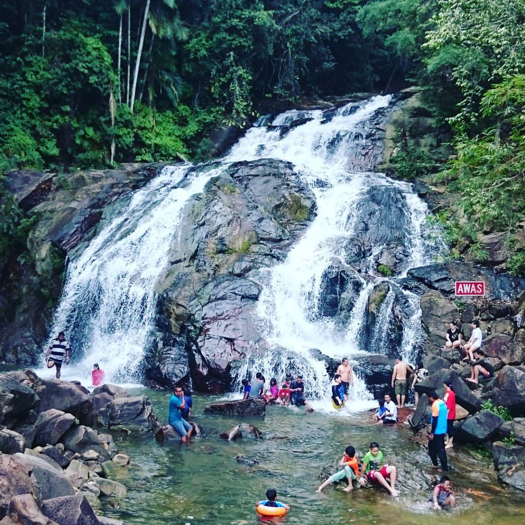
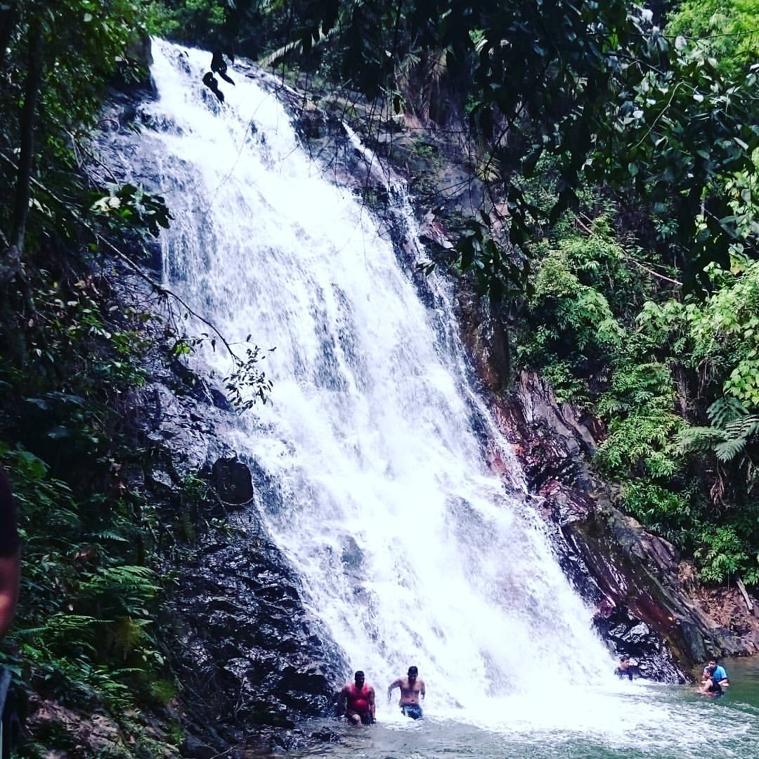
Kota Tinggi Waterfall

Kota Tinggi Waterfall
Kota Tinggi Waterfall
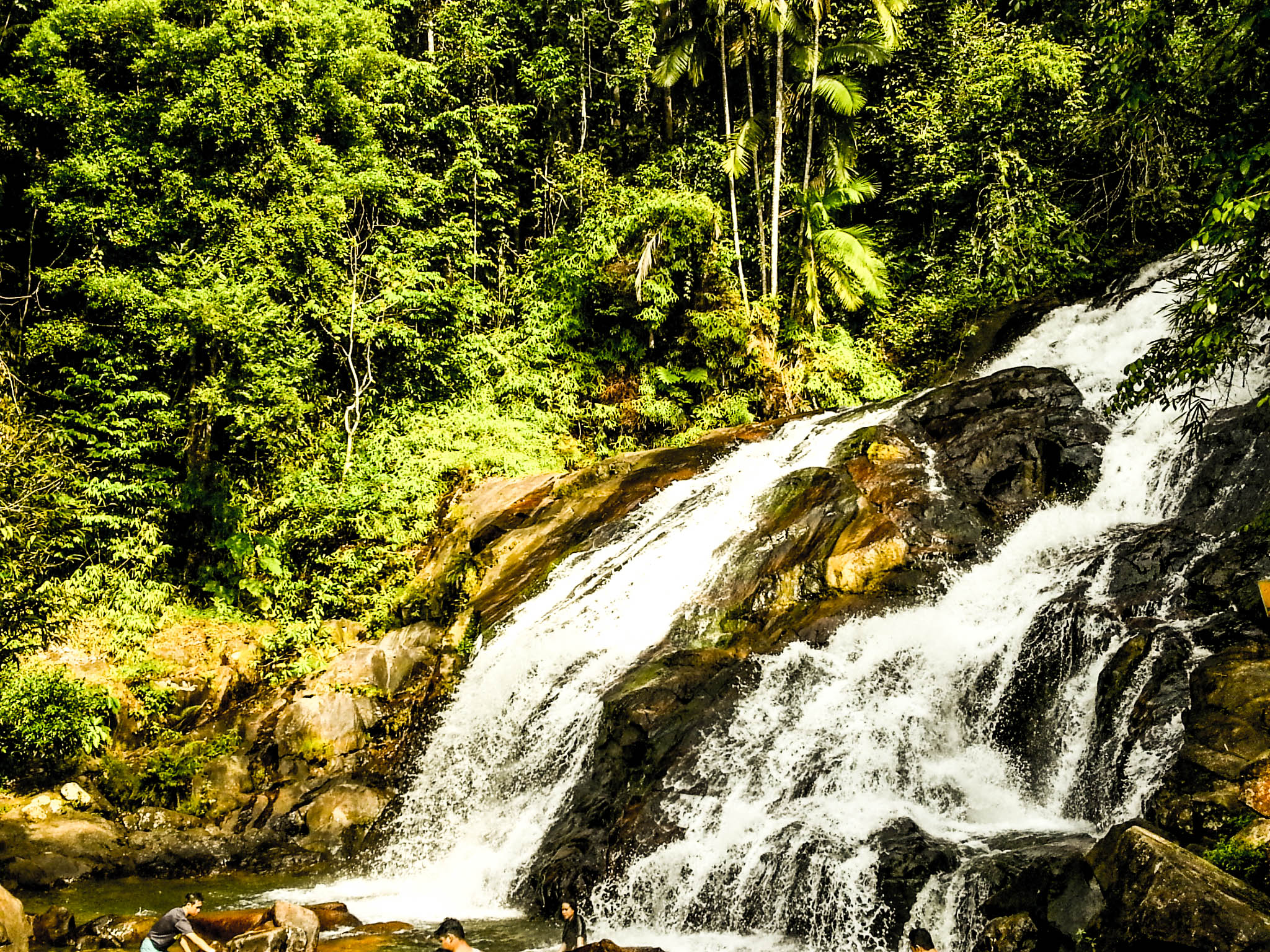
The upper waterfall.

Waterfall nature
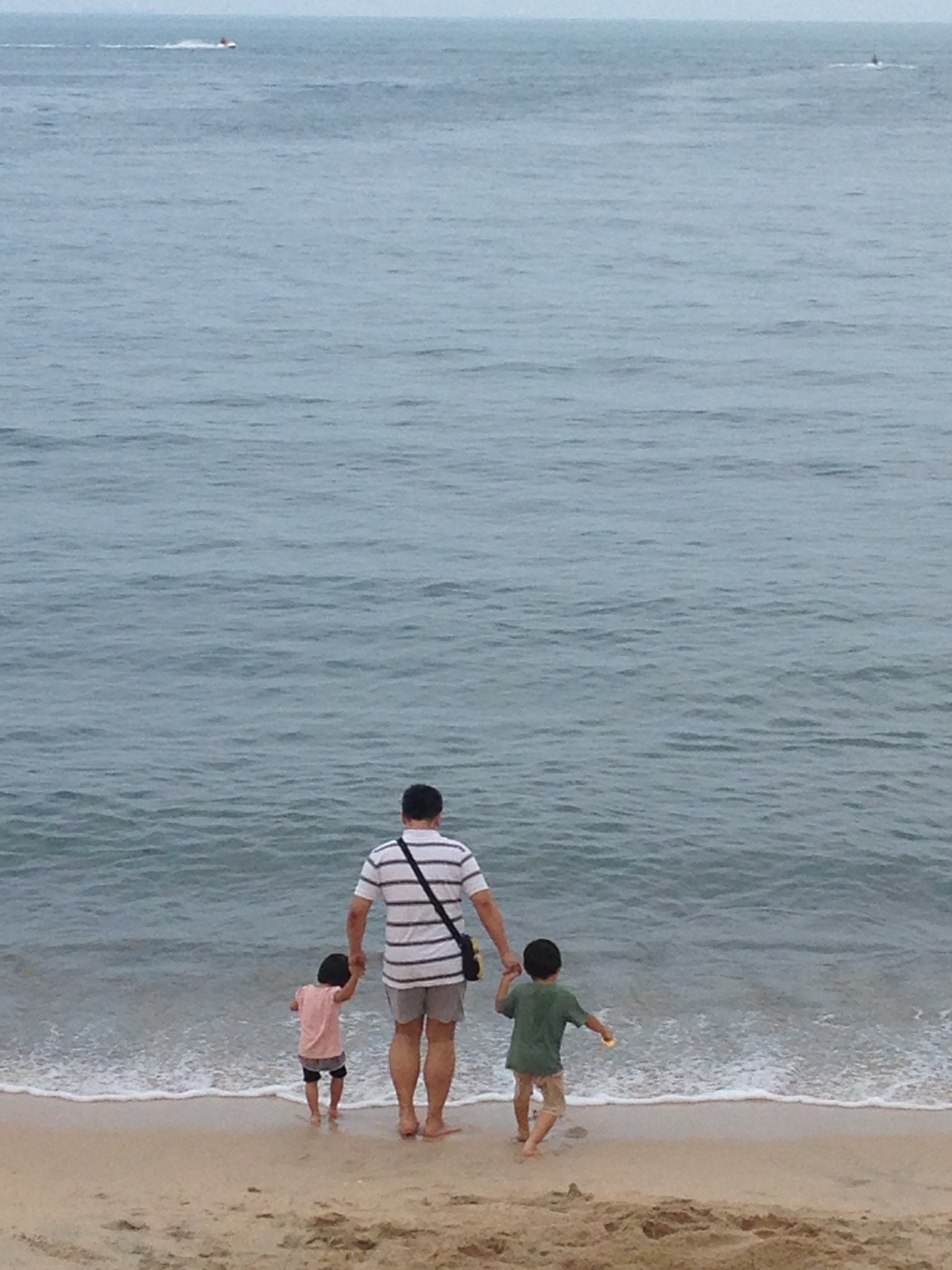
Desaru Trip 18th April 2014 to 20th April 2014. Celebrating Miki & Yoshi's Birthday
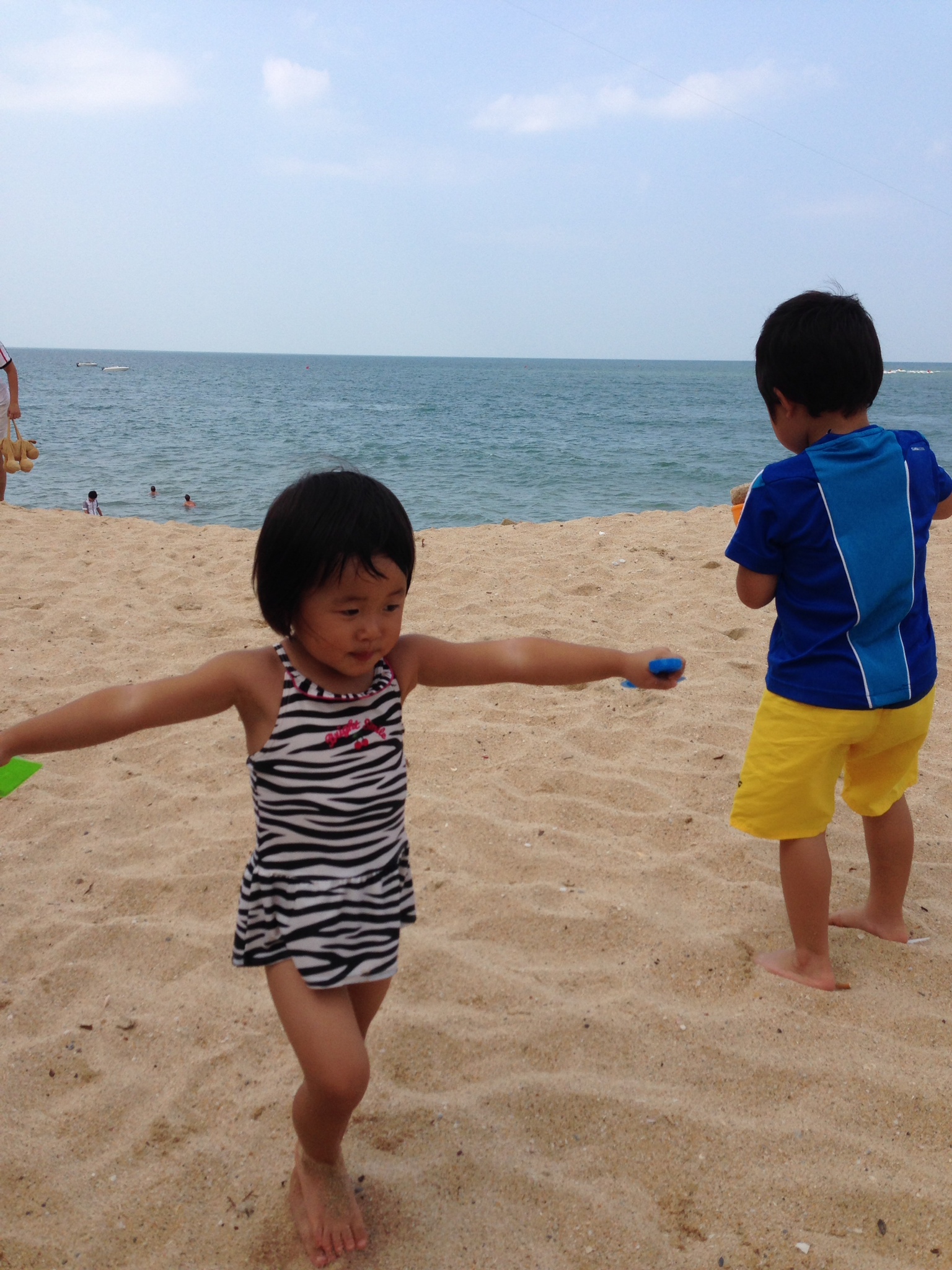
Desaru Trip 18th April 2014 to 20th April 2014. Celebrating Miki & Yoshi's Birthday
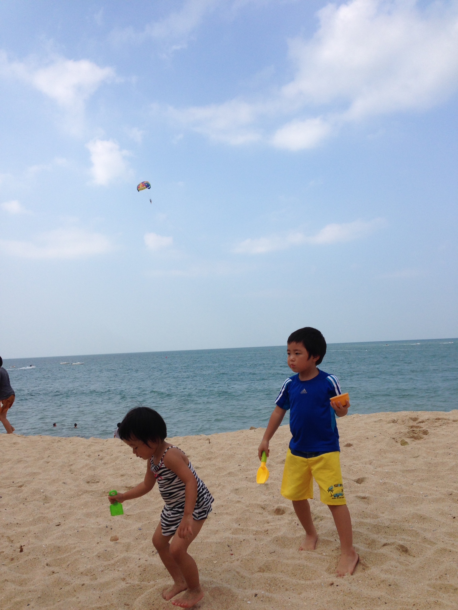
Desaru Trip 18th April 2014 to 20th April 2014. Celebrating Miki & Yoshi's Birthday
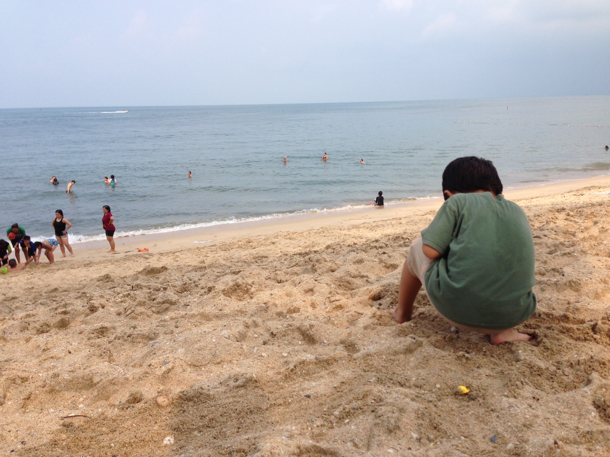
Desaru Trip 18th April 2014 to 20th April 2014. Celebrating Miki & Yoshi's Birthday
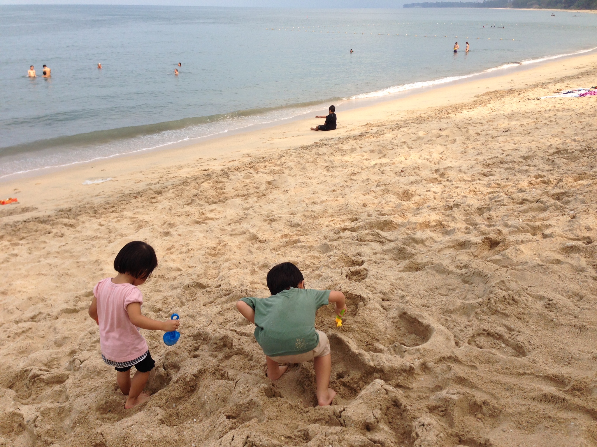
Desaru Trip 18th April 2014 to 20th April 2014. Celebrating Miki & Yoshi's Birthday
Topographic Map of Pusat Internet Bandar Petri Jaya, Kota Tinggi, Johor, Malaysia
Find elevation by address:

Places near Pusat Internet Bandar Petri Jaya, Kota Tinggi, Johor, Malaysia:
Gunung Muntahak
Kota Tinggi Waterfalls
Kota Tinggi Waterfalls Resort
Jalan Ladang Sisek
Sk Sayong Pinang
Sk Felda Bukit Ramun
Felda Sungai Sayong
Gunung Panti Recreational Forest
Felda Pasir Raja
Ulu Sungai Sedili Besar
Felda Penggeli Timur
Jalan Kampung Lukut
Gunung Panti, Johor
Felda Sibol
Kampung Panti
Kampung Lukut
85, Jln Tanjung
85, Jln Tanjung
Felda Taib Andak
Taman Kota Mas
Recent Searches:
- Elevation of Corso Fratelli Cairoli, 35, Macerata MC, Italy
- Elevation of Tallevast Rd, Sarasota, FL, USA
- Elevation of 4th St E, Sonoma, CA, USA
- Elevation of Black Hollow Rd, Pennsdale, PA, USA
- Elevation of Oakland Ave, Williamsport, PA, USA
- Elevation of Pedrógão Grande, Portugal
- Elevation of Klee Dr, Martinsburg, WV, USA
- Elevation of Via Roma, Pieranica CR, Italy
- Elevation of Tavkvetili Mountain, Georgia
- Elevation of Hartfords Bluff Cir, Mt Pleasant, SC, USA