Elevation of Kampung Lukut, Kota Tinggi, Johor, Malaysia
Location: Malaysia > Johor > Kota Tinggi >
Longitude: 103.903827
Latitude: 1.796255
Elevation: 29m / 95feet
Barometric Pressure: 101KPa
Elevation Map:
Satellite Map:
Related Photos:

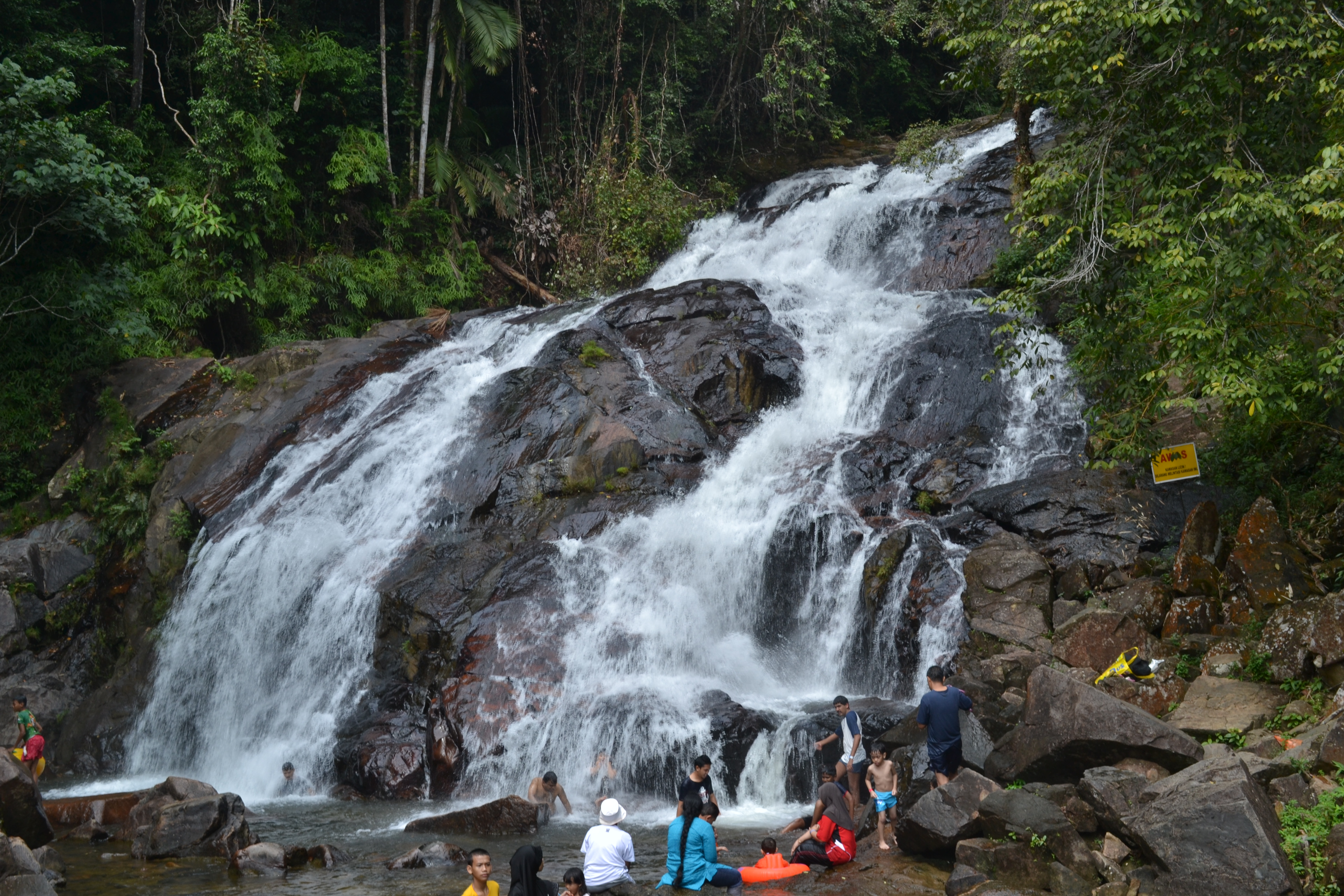
Kota Tinggi Water Falls

View down from the stairs towards the lower waterfall 's base. #LateUpload

natural water

IMG_5940 Little Spiderhunter (Arachnothera longirostra)

#photography #photo #river #landscape

Kota Tinggi waterfalls

Greater Green Leafbird

Banded Kingfisher

Green Broadbill

Von Schrenck's Bittern

Waterfall nature

Grey-Chested Jungle-Flycatcher

Whiskered Treeswift _ Panti

Moustached Babbler

Kota Tinggi Waterfall

Kota Tinggi Waterfall

Kota Tinggi Waterfall

Kota Tinggi ~ Balai Polis
Waterfall .

Masih belum bisa move-on dari Coban Pelangi. Lower base of Kota Tinggi Waterfalls.

☀ 10 Minute after #Sunset #Cloud #Reflection #Sky #Water

Kota Tinggi Waterfall
Topographic Map of Kampung Lukut, Kota Tinggi, Johor, Malaysia
Find elevation by address:

Places near Kampung Lukut, Kota Tinggi, Johor, Malaysia:
Jalan Kampung Lukut
Gunung Panti, Johor
Gunung Panti Recreational Forest
Taman Kota Mas
Kampung Kelantan
Kampung Panti
Kota Tinggi
Kota Tinggi Firefly Park
Kota Tinggi Waterfalls Resort
Kota Tinggi Waterfalls
Jalan Ladang Sisek
Ulu Sungai Sedili Besar
Gunung Muntahak
Pusat Internet Bandar Petri Jaya
Sk Felda Bukit Ramun
Masjid Ladang Nanyo
Taman Perindustrian Tiram Utama
Rainbow Senior Home (jb) Sdn. Bhd.
J8
Sk Sayong Pinang
Recent Searches:
- Elevation of Corso Fratelli Cairoli, 35, Macerata MC, Italy
- Elevation of Tallevast Rd, Sarasota, FL, USA
- Elevation of 4th St E, Sonoma, CA, USA
- Elevation of Black Hollow Rd, Pennsdale, PA, USA
- Elevation of Oakland Ave, Williamsport, PA, USA
- Elevation of Pedrógão Grande, Portugal
- Elevation of Klee Dr, Martinsburg, WV, USA
- Elevation of Via Roma, Pieranica CR, Italy
- Elevation of Tavkvetili Mountain, Georgia
- Elevation of Hartfords Bluff Cir, Mt Pleasant, SC, USA