Elevation of Pulaski Hwy, Frankewing, TN, USA
Location: United States > Tennessee > Giles County > Frankewing >
Longitude: -86.753477
Latitude: 35.199657
Elevation: 201m / 659feet
Barometric Pressure: 0KPa
Related Photos:

Abandoned Yellow House

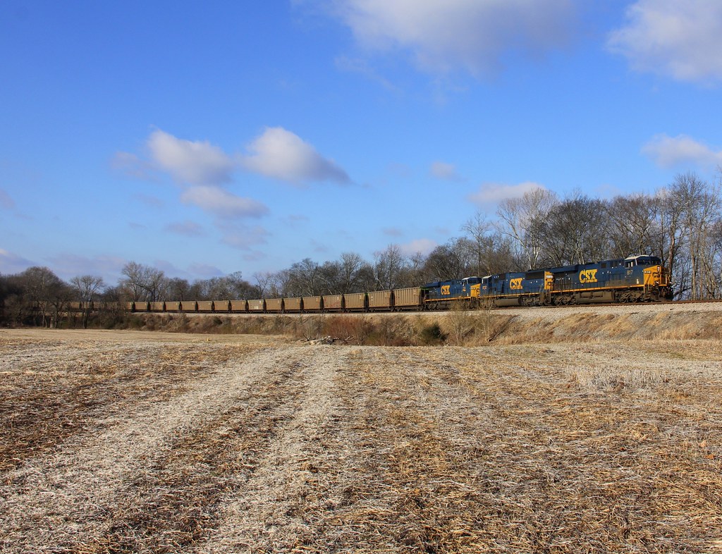
CSX Train Q027

CSX Train Q685

CSX Train Q684

CSX Train T108

CSX Train Q026

CSX Train K880

CSX Train Q648

CSX Train Q684

CSX Train Q518

CSX Train Q519

CSX Train T080

CSX Train Q519

CSX Local M783

CSX Train Q125

CSX Train Q133

CSX Q026, Dellrose,TN 1/19/2014
CSX T080, Dellrose,TN 1/19/2014

CSX Q576, Dellrose,TN 1/19/2014

Cripple Creek

CSX Train K480

CSX Train Q282
Topographic Map of Pulaski Hwy, Frankewing, TN, USA
Find elevation by address:

Places near Pulaski Hwy, Frankewing, TN, USA:
83 Red Oak Rd, Petersburg, TN, USA
David Crockett Highway
Red Oak Rd, Petersburg, TN, USA
Beech Hill Rd, Frankewing, TN, USA
Frankewing
10 Haysland Rd, Petersburg, TN, USA
91 March Mill Rd
Springplace Rd, Lewisburg, TN, USA
260 S Fishing Ford Rd
Brown Shop Rd, Petersburg, TN, USA
Icy Bank Road
2210 Talley Rd
Petersburg
2718 Fishing Ford Rd
Bert Watt Rd, Petersburg, TN, USA
Yell Rd, Lewisburg, TN, USA
714 2nd Ave
Cedar Hurst Ln, Pulaski, TN, USA
Cornersville
4720 Beech Hill Rd
Recent Searches:
- Elevation of 10370, West 107th Circle, Westminster, Jefferson County, Colorado, 80021, USA
- Elevation of 611, Roman Road, Old Ford, Bow, London, England, E3 2RW, United Kingdom
- Elevation of 116, Beartown Road, Underhill, Chittenden County, Vermont, 05489, USA
- Elevation of Window Rock, Colfax County, New Mexico, 87714, USA
- Elevation of 4807, Rosecroft Street, Kempsville Gardens, Virginia Beach, Virginia, 23464, USA
- Elevation map of Matawinie, Quebec, Canada
- Elevation of Sainte-Émélie-de-l'Énergie, Matawinie, Quebec, Canada
- Elevation of Rue du Pont, Sainte-Émélie-de-l'Énergie, Matawinie, Quebec, J0K2K0, Canada
- Elevation of 8, Rue de Bécancour, Blainville, Thérèse-De Blainville, Quebec, J7B1N2, Canada
- Elevation of Wilmot Court North, 163, University Avenue West, Northdale, Waterloo, Region of Waterloo, Ontario, N2L6B6, Canada
- Elevation map of Panamá Province, Panama
- Elevation of Balboa, Panamá Province, Panama
- Elevation of San Miguel, Balboa, Panamá Province, Panama
- Elevation of Isla Gibraleón, San Miguel, Balboa, Panamá Province, Panama
- Elevation of 4655, Krischke Road, Schulenburg, Fayette County, Texas, 78956, USA
- Elevation of Carnegie Avenue, Downtown Cleveland, Cleveland, Cuyahoga County, Ohio, 44115, USA
- Elevation of Walhonding, Coshocton County, Ohio, USA
- Elevation of Clifton Down, Clifton, Bristol, City of Bristol, England, BS8 3HU, United Kingdom
- Elevation map of Auvergne-Rhône-Alpes, France
- Elevation map of Upper Savoy, Auvergne-Rhône-Alpes, France