Elevation of Public Phone Box on Tubbercurry Bypass, Tobercurry, Co. Sligo, Ireland
Location: Ireland >
Longitude: -8.73304
Latitude: 54.0534685
Elevation: 79m / 259feet
Barometric Pressure: 100KPa
Elevation Map:
Satellite Map:
Related Photos:

Sacred Hill of the Fairies - Knocknashee

Knocknashee – “Sacred Hill of the Fairies”

Overlooking Lough Easkey

House with a View

Brennan's

Tubbercurry. View from loco no. 130 arriving.10.6.64

Brackloon panorama
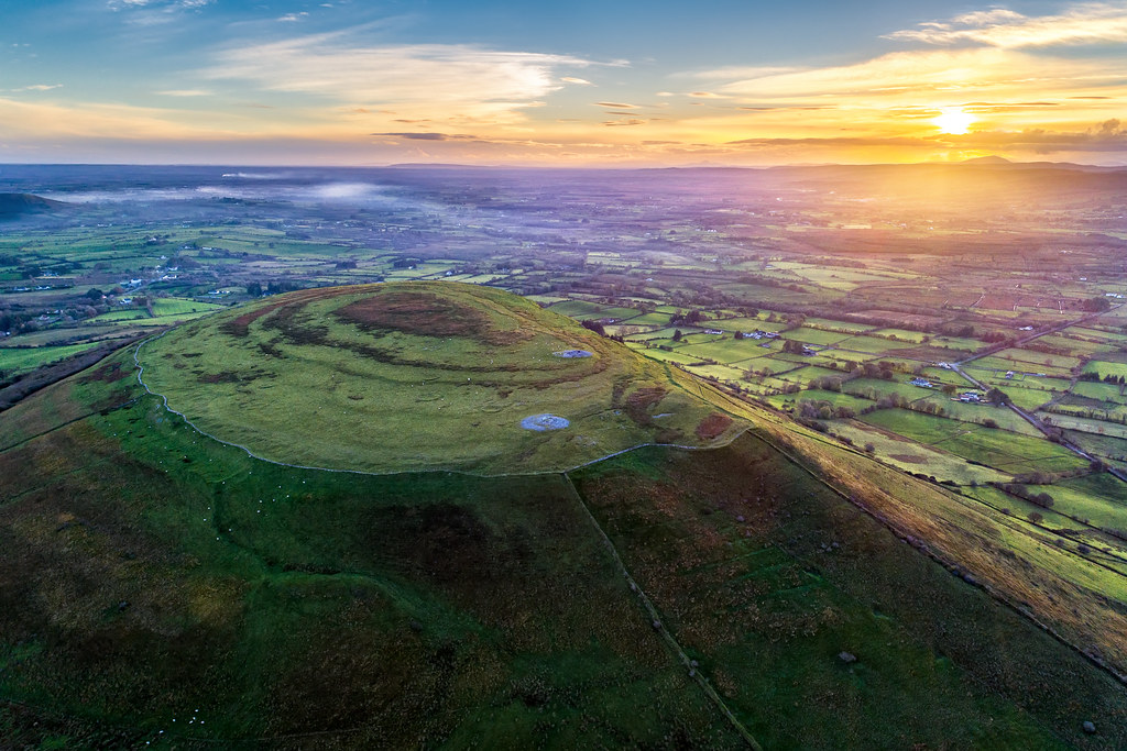
“The Sacred Hill of the Fairies”

Cast a Cold Eye.

Hayden's Ballymote Sligo

Lough Talt
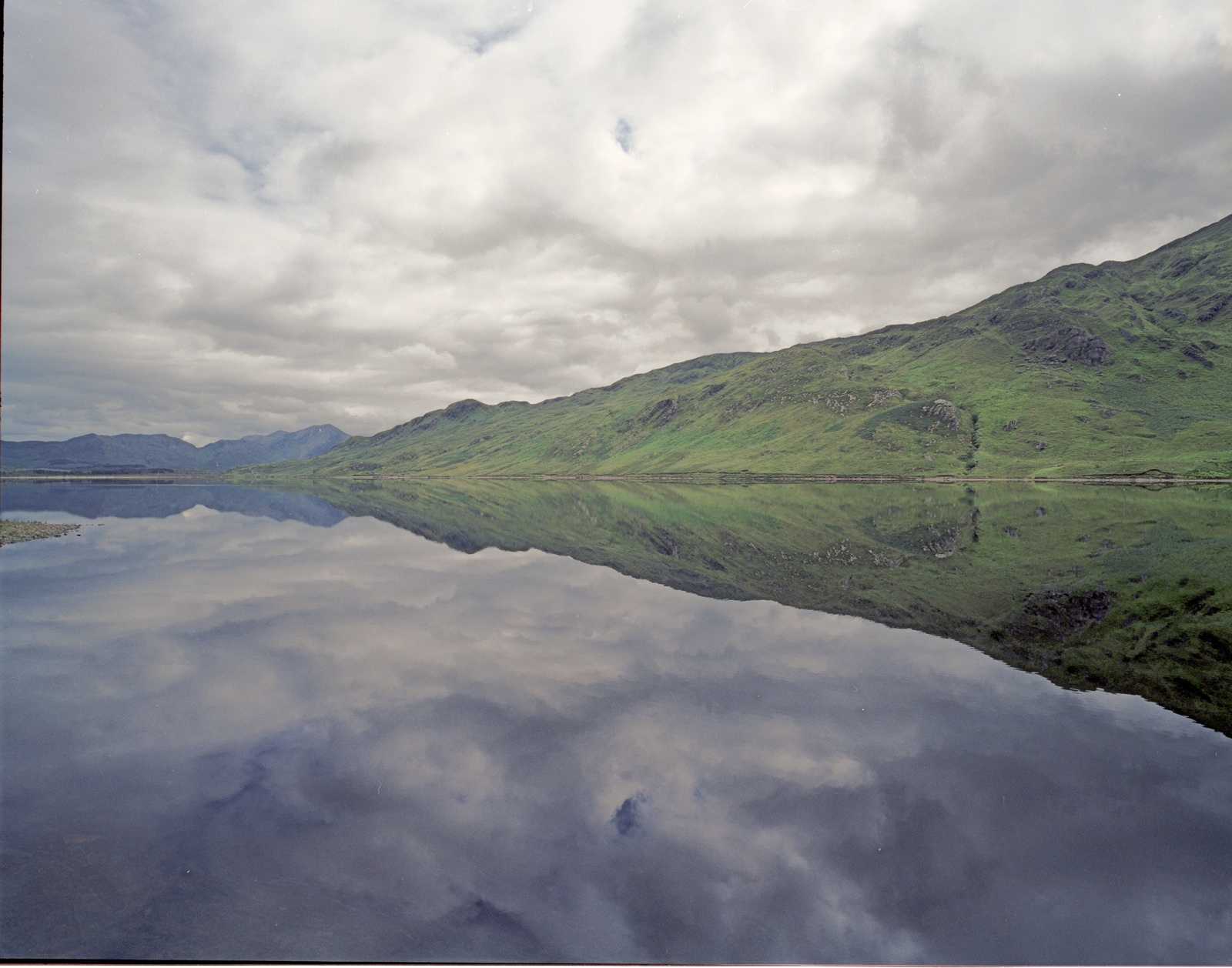
Kylemore lough

Hill of Knocknashee

Leaving the Lough

The road to Brackloon

2017-08-23_02-25-30
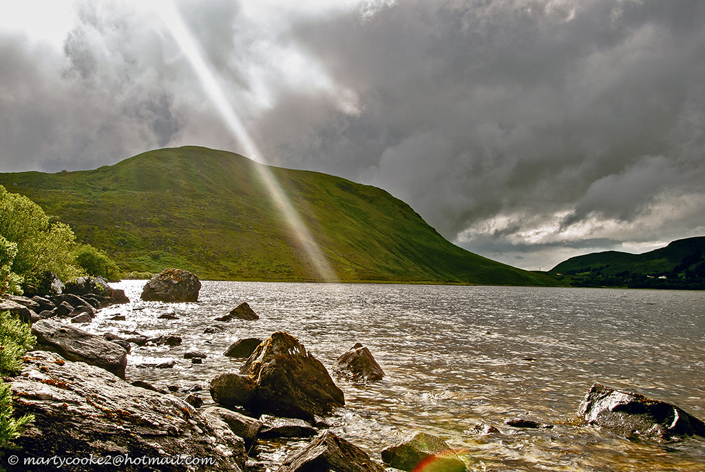
23/52 Lough Talt

Spring in Sligo
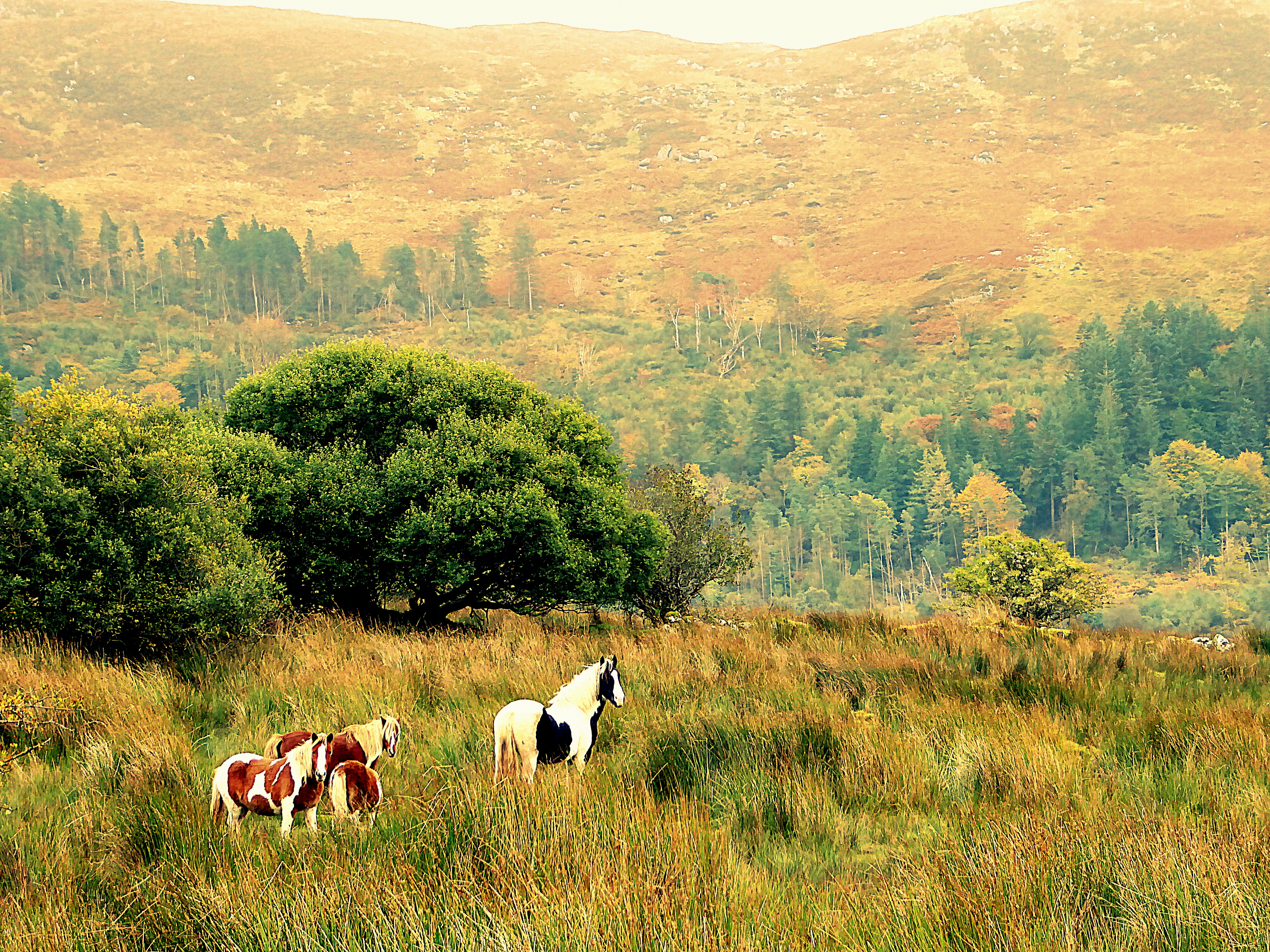
Autumn in the Ox Mountains

Temple House, Sligo

Around the mountain

Ladies Brae, Sligo

Lough Talt, Sligo, Ireland

Mountain Stream, Ladies Brae, Sligo

Carrowmore Megalithic Cemetery
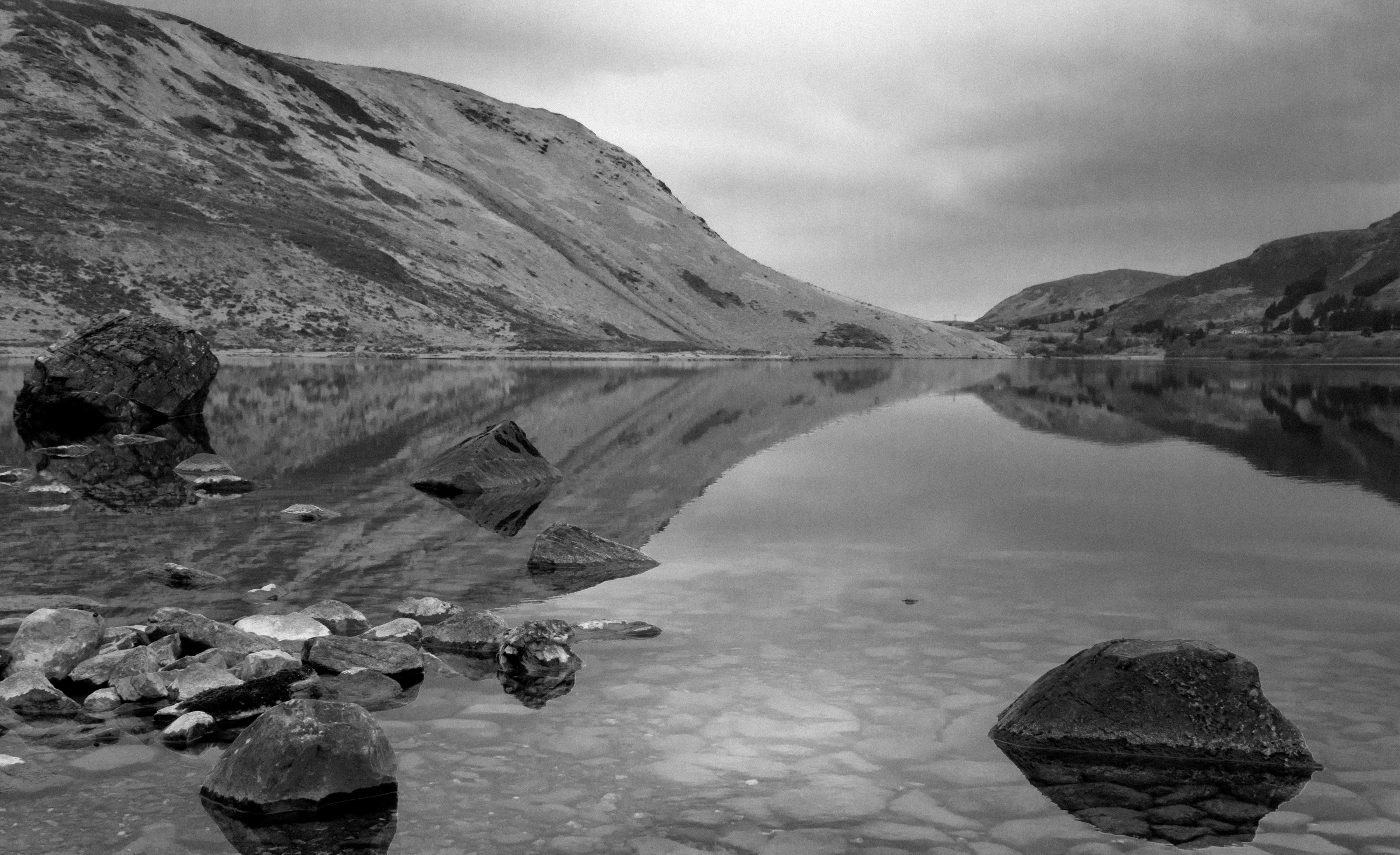
Lough Talt, Sligo, Ireland
Topographic Map of Public Phone Box on Tubbercurry Bypass, Tobercurry, Co. Sligo, Ireland
Find elevation by address:

Places near Public Phone Box on Tubbercurry Bypass, Tobercurry, Co. Sligo, Ireland:
Lurga
Tawnyinah Lower
Ireland West Airport Knock
Kilmovee
Kilmovee National School
Ballyglass
Urlaur
Urlaur
Unnamed Road
Urlaur Abbey
Duffy's Flats
Ballaghaderreen
Kilkelly
24 Cuan Íosa
Kilcolman
Swinford
Carrownluggaun
34 N83
34 N83
34 N83
Recent Searches:
- Elevation of Corso Fratelli Cairoli, 35, Macerata MC, Italy
- Elevation of Tallevast Rd, Sarasota, FL, USA
- Elevation of 4th St E, Sonoma, CA, USA
- Elevation of Black Hollow Rd, Pennsdale, PA, USA
- Elevation of Oakland Ave, Williamsport, PA, USA
- Elevation of Pedrógão Grande, Portugal
- Elevation of Klee Dr, Martinsburg, WV, USA
- Elevation of Via Roma, Pieranica CR, Italy
- Elevation of Tavkvetili Mountain, Georgia
- Elevation of Hartfords Bluff Cir, Mt Pleasant, SC, USA