Elevation of 24 Cuan Íosa, Ballymote, Baile an Mhóta, Co. Contae Shligigh, F56 PD92, Ireland

Location: Ireland >

Longitude: -8.5171976

Latitude: 54.0884836

Elevation: 71m / 233feet

Barometric Pressure: 100KPa

Elevation Map:

elevation map of 24 Cuan Íosa, Ballymote, Baile an Mhóta, Co. Contae Shligigh, F56 PD92, Ireland

Satellite Map:

Satellite map of 24 Cuan Íosa, Ballymote, Baile an Mhóta, Co. Contae Shligigh, F56 PD92, Ireland

Related Photos:

scape county sligo ireland irish rocks nature natural horizon tourist cliffs scenic atlantic summer visit cliffscape nikon gareth wray way sky photographer sun set sunset vacation peninsula holiday europe day water rock formation landscape cliff ice age otherworld secret mystery cave keash kesh keshcorran mountain caveman nikkor 1424mm wide lens wild
"We Descended from Caves”
ancient sligo ox mountains knochnashee fairie fairy hill sacred legendary cairns beehive huts tomb plateau irish lookout fort ring ringed county ireland summer landmark stone monument tourist site famous visit scenic countryside druid celtic gareth wray photography sun island historic aerial drone dji phantom 4 p4p pro quadcopter heather national gaelic photographer garethwrayphotography vacation pilgrimage holiday europe sunset architecture landscape grass
Sacred Hill of the Fairies - Knocknashee
ancient sligo ox mountains knochnashee fairie fairy hill sacred legendary cairns beehive huts tomb plateau irish lookout fort ring ringed county ireland summer landmark stone monument tourist site famous visit scenic countryside druid celtic gareth wray photography sun island historic aerial drone dji phantom 4 p4p pro quadcopter heather national gaelic photographer garethwrayphotography vacation pilgrimage holiday europe sunset architecture landscape grass sky
Knocknashee – “Sacred Hill of the Fairies”
robertfrench williamlawrence lawrencecollection lawrencephotographicstudio thelawrencephotographcollection glassnegative nationallibraryofireland monument carrignagat collooney cosligo rocks bartholomewteeling teeling teelingmonument countysligo battleofcarrignagat 1798 carraignagcat 1798rebellion harrisonsons
Around the rugged rocks the ragged rascal ran?
ireland
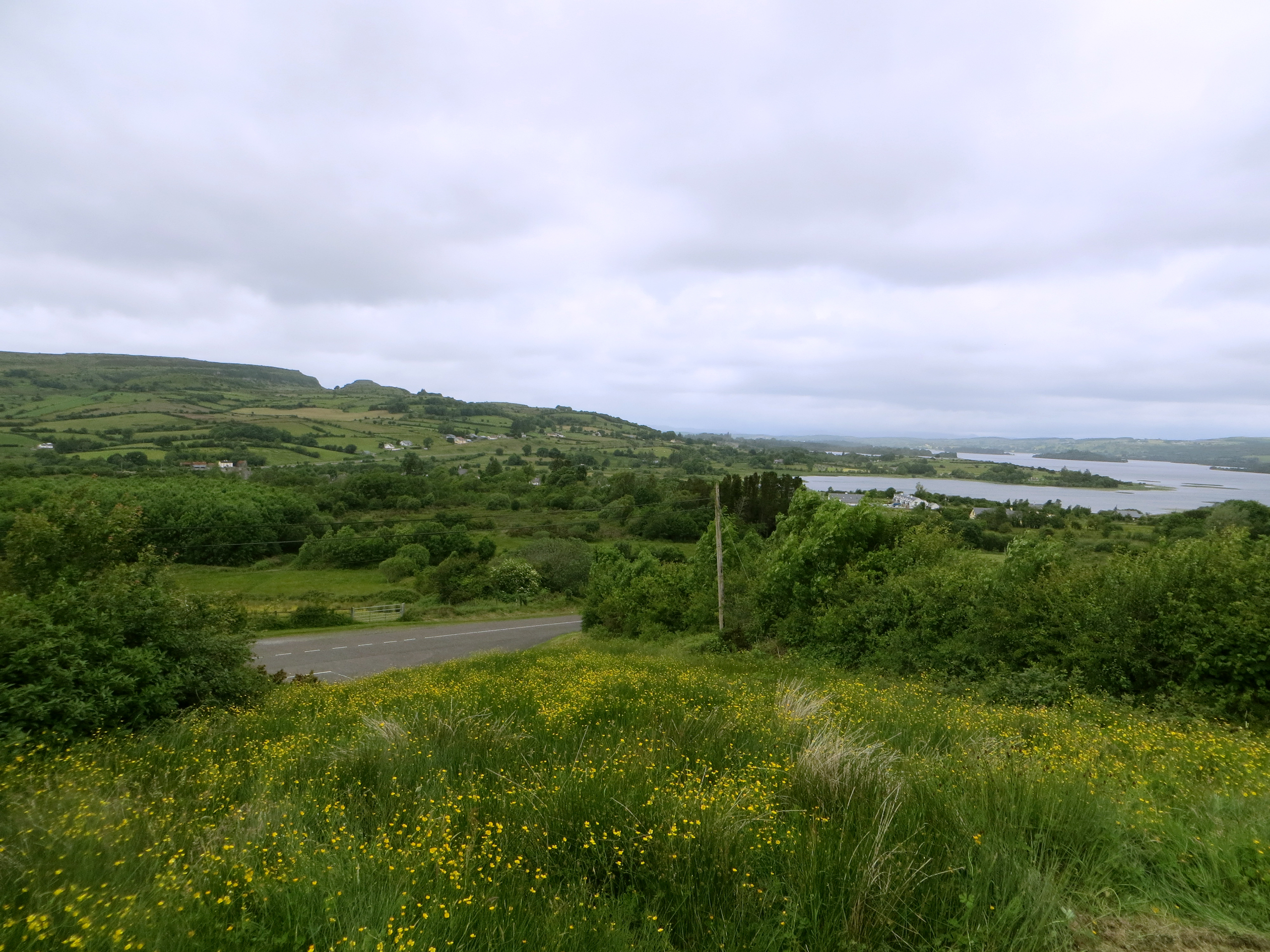
Pretty view, heading back to Dublin
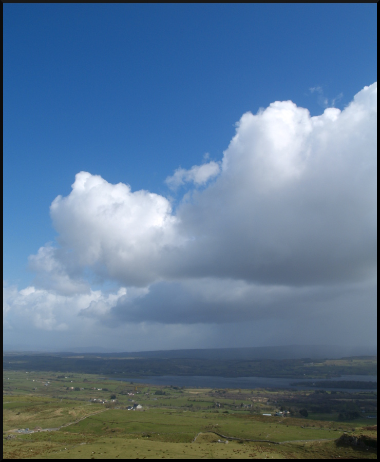
View towards a cloudy Maeve's Cairn
Cailleach a Vera’s House
ancient sligo ox mountains knochnashee fairie fairy hill sacred legendary cairns beehive huts tomb plateau irish lookout fort ring ringed county ireland summer landmark stone monument tourist site famous visit scenic countryside druid celtic gareth wray photography sun island historic aerial drone dji phantom 4 p4p pro quadcopter heather national gaelic photographer garethwrayphotography vacation pilgrimage holiday europe sunset architecture landscape grass
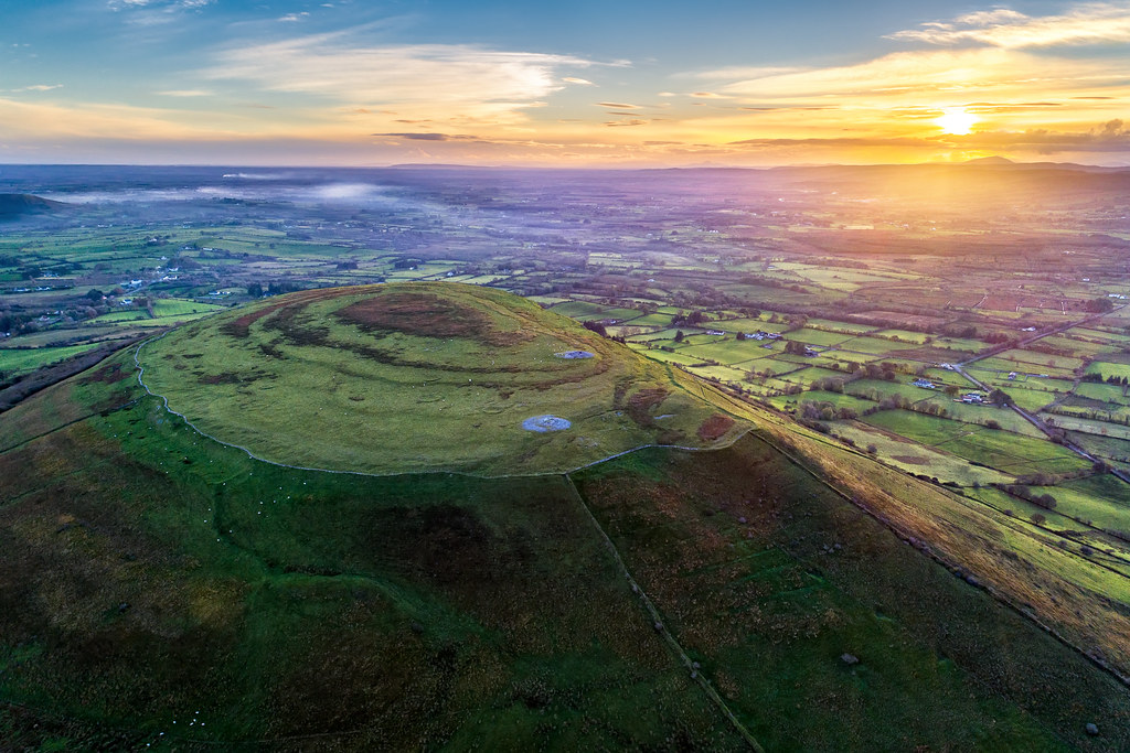
“The Sacred Hill of the Fairies”
scape county sligo ireland irish rocks nature natural horizon tourist cliffs scenic atlantic summer visit cliffscape nikon gareth wray way sky photographer sun set sunset vacation peninsula holiday europe day water rock formation landscape cliff ice age otherworld secret mystery cave keash kesh keshcorran mountain caveman nikkor 1424mm wide lens wild
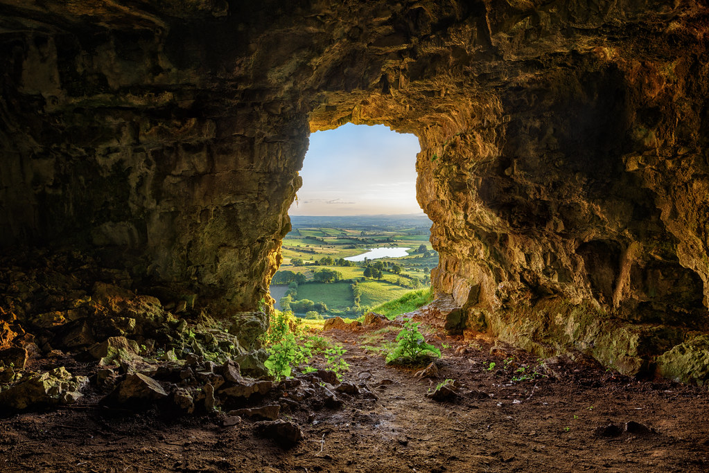
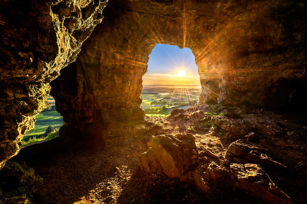
“The Caves of Keash”
scape county sligo ireland irish rocks nature natural horizon tourist cliffs scenic atlantic summer visit cliffscape nikon gareth wray way sky photographer sun set sunset vacation peninsula holiday europe day water rock formation landscape cliff ice age otherworld secret mystery cave keash kesh keshcorran mountain caveman nikkor 1424mm wide lens wild
"Gateway to The Otherworld” - The Caves of Keash
hdr backpackphotography ireland carrowkeel carrowkeelportaltombs carrowkeelmegalthiccemetary megalithic megalith cemetary portaltomb tomb ancient sligo carrowkeelmegalithiccomplex cairn cairns
Carrowkeel K view to Benbulben
ireland red beer bar pub taxi shopfront sligo undertaker ballymote traditionalirish ammoforsale
Hayden's Ballymote Sligo
tobercurry sligo ireland pub publichouse brennans tubbercurry properoldpub pubinterior
Brennan's
ireland roscommon ringfort cotyrone loughgara clogherfort
Clogher Stone Ringfort
ireland caves sligo kesh keash keshcorran
Caves of Keash
ireland blackwhite railways tubbercurry
Tubbercurry. View from loco no. 130 arriving.10.6.64
kilmarnock standpipe collooney pillarwaterfont glenfieldandkennedyltd
Collooney, Co. Sligo
ireland sky clouds olympus sligo e500 carrowkeel boylecameraclub
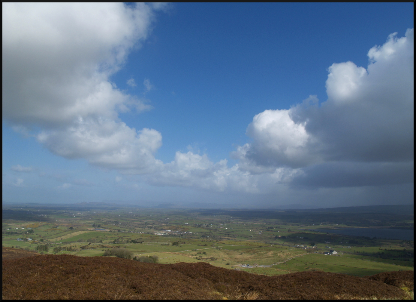
View from Carrowkeel
sligo ballisodare millapartments derelictnation nouveaudereliction
The Mill Apartments. Ballisodare. With mountains
lake view sligo ballinafad lougharrow
Overlooking Lough Arrow
sky nature clouds olympus sligo e500 carrowkeel boylecameraclub
Lough Arrow View
sligo landscape cielo ireland irish paesaggio clouds canon eos6d 24105mm
Sligo landscape
collooney countysligo ireland ie sligo duathlon nationalchampionship nationalchamps timedia triathlonireland triathlon martinjancek jancek sligotriathlon
Duathlon Championship 2019-182
sligo ballinafad bricklievemountains ballinafadcastle
Bricklieve Mountains
collooney countysligo ireland ie sligo duathlon nationalchampionship nationalchamps timedia triathlonireland triathlon martinjancek jancek sligotriathlon
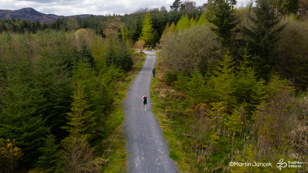
Duathlon Championship 2019-177
drone jcphoto18 old water collooneyfalls buildings collooney jordancumminsphotography sligo
28-52 - Mill Falls
sligo portaltomb nuada thelabbyrock carrickglass
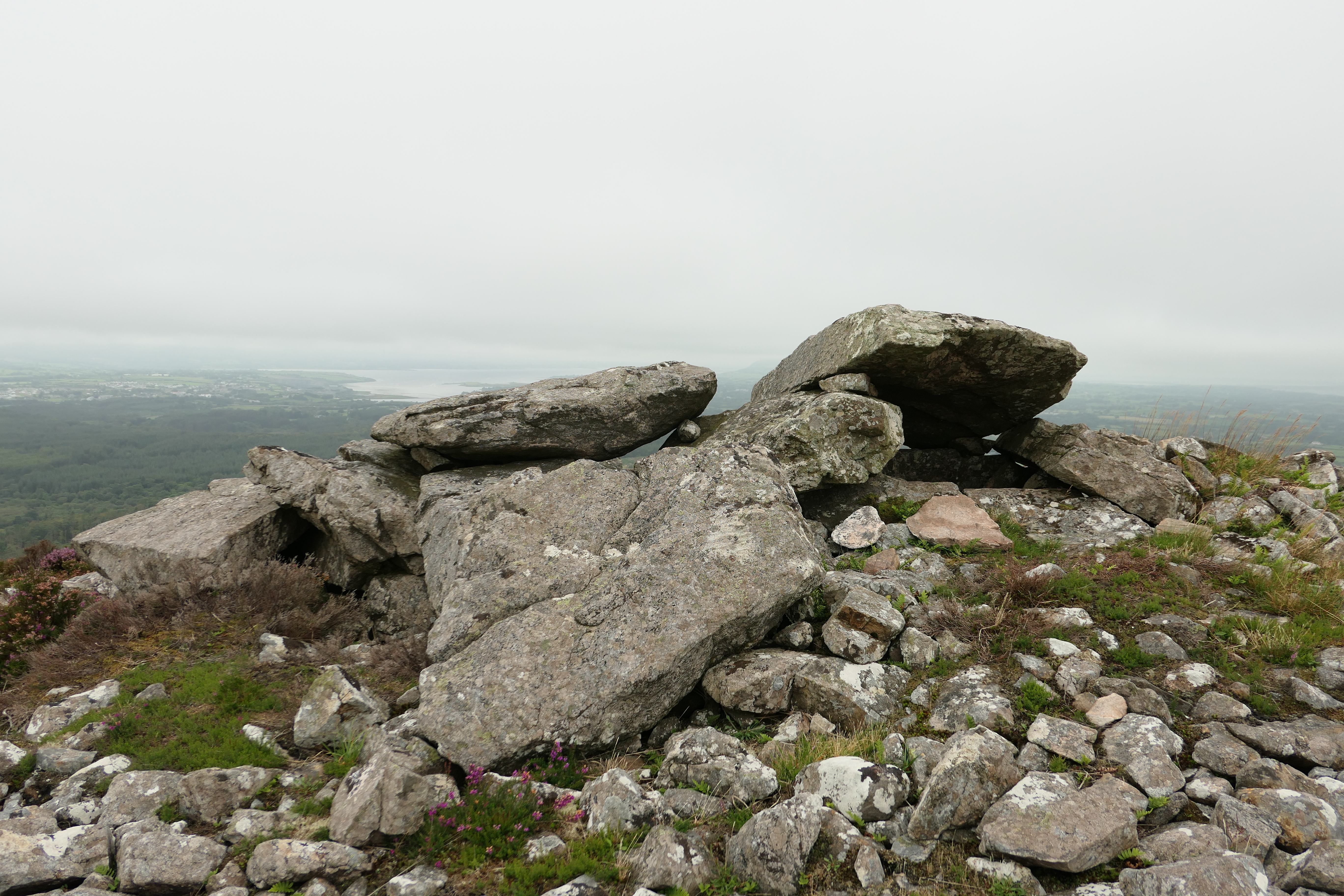
The Labby Rock, Carrickglass Portal Tomb
Bricklieve Mountains at Dawn
ireland irl sligo benbulben benbulbin ballysadare binnghulbain
Benbulbin, with Ballysadare Bay in the foreground
ireland irish house sheep drink lambs derelict daffodils sligo fatherted craggyisland coolaney iphone4s icanalmosthearfatherjack
Spring in Sligo
family tubbercurry
Hill of Knocknashee
ireland building history bedandbreakfast sligo heritageweek templehouse
Temple House, Sligo
ireland panorama cemetery sligo passagetomb carrowkeel
Carrowkeel Passage Tomb, Bricklieve Mountains, Co. Sligo