Elevation of Presidio Ct, Danville, CA, USA
Location: United States > California > Contra Costa County > Danville >
Longitude: -121.96263
Latitude: 37.784698
Elevation: 161m / 528feet
Barometric Pressure: 99KPa
Elevation Map:
Satellite Map:
Related Photos:

A frosty morning

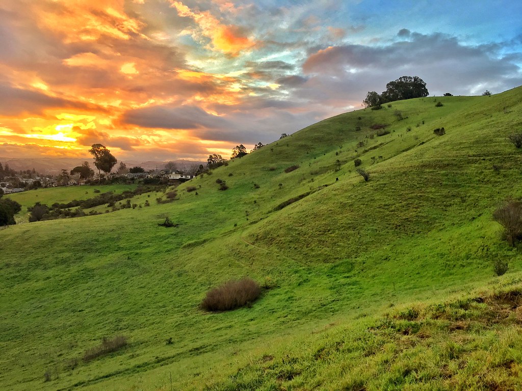
Mt. Diablo Sunset

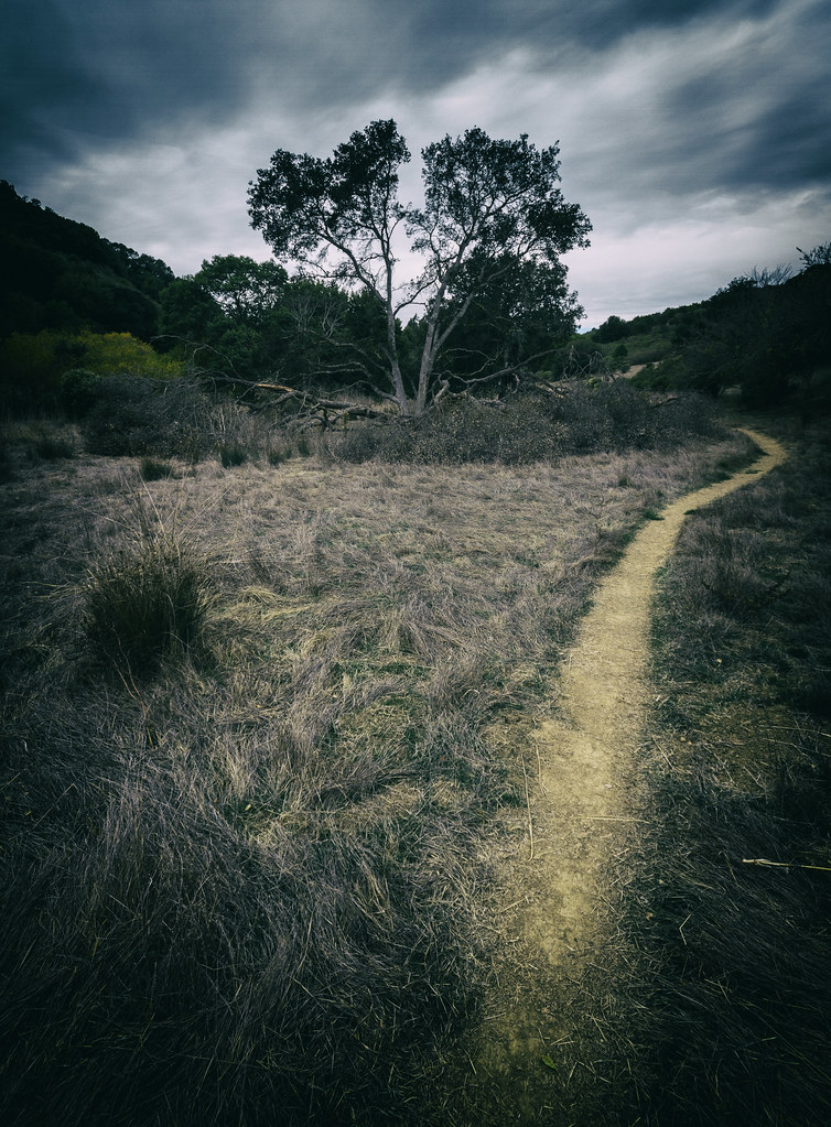
A Gnarly Sunset - California Oak

Freshly Watered
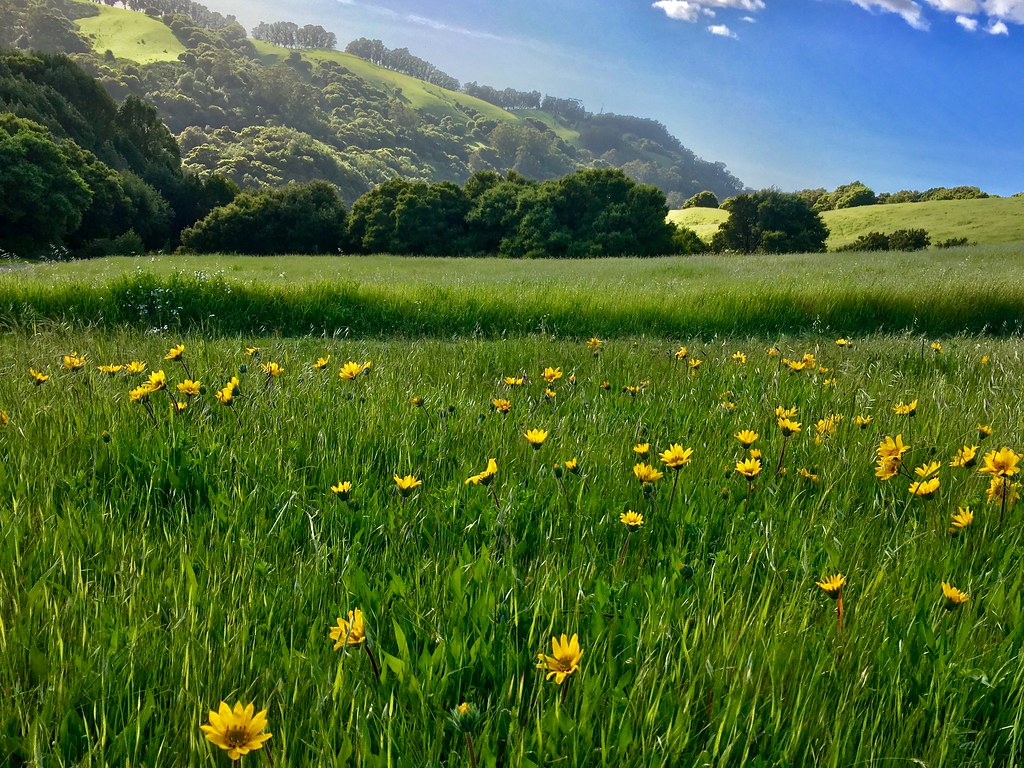
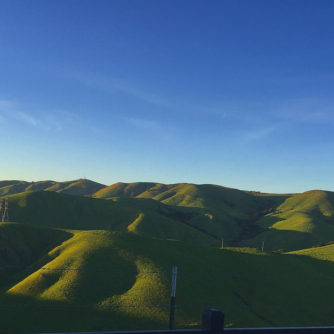
While the Hills are Green!

Giddy-Up!

La Reine et sa Cour

Oak Tree Sunset (3/365)

White Roses in the Rain
Mount Diablo Foothills

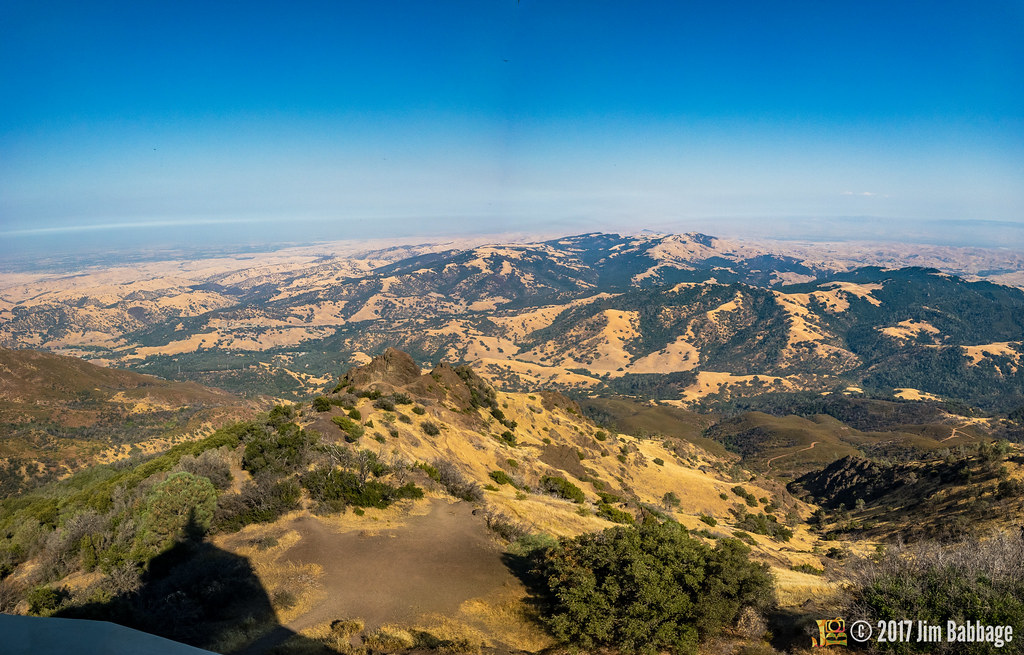
Mount Diablo views
After the Rains

Flowers on a Bush

The littlest Daisy

wheels on fire

Today's "View From Work"

Today's "View From Work"

Sunset from Mount Diablo
California Sunset

Night View of Tri-Valley
Green Flash
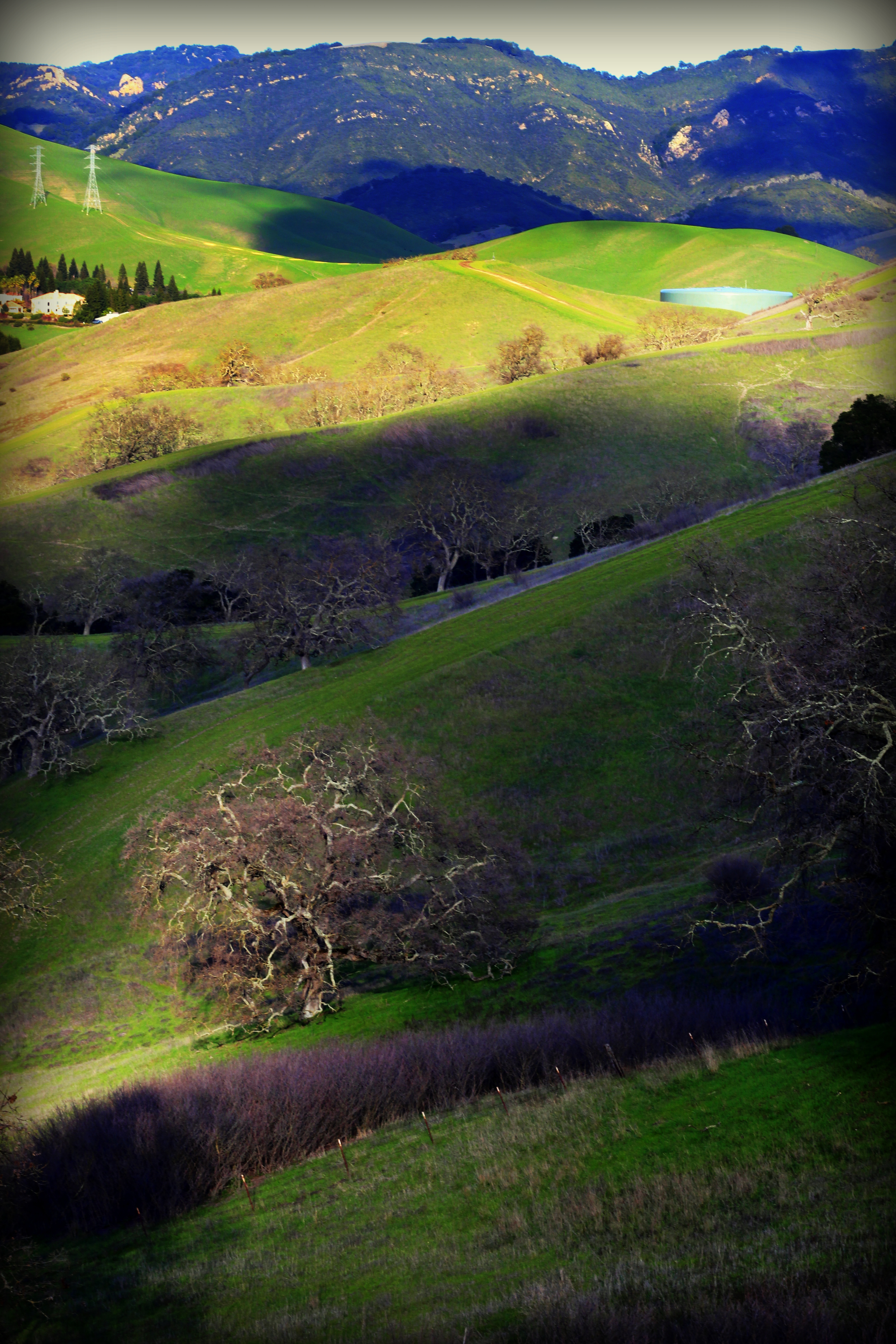
Diablo Hills
Reinstein Ranch

Mt Diablo
Mountain partially skinned (Mt Zion mine)
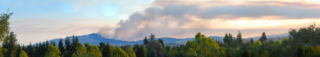
the morgan hill fire monday morning september 9th

House finch- female
Lake Chabot
Lake Chabot
Goodbye Stormy Skies
Something about these hills...remind me of Shrek.
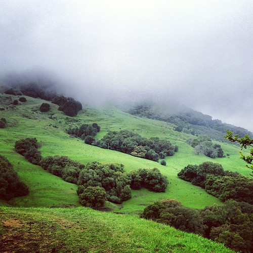
Th fog was rolling in quick!

Las Trampas

Morgan Territory Road, Livermore, California
Beautiful Hills & Trees
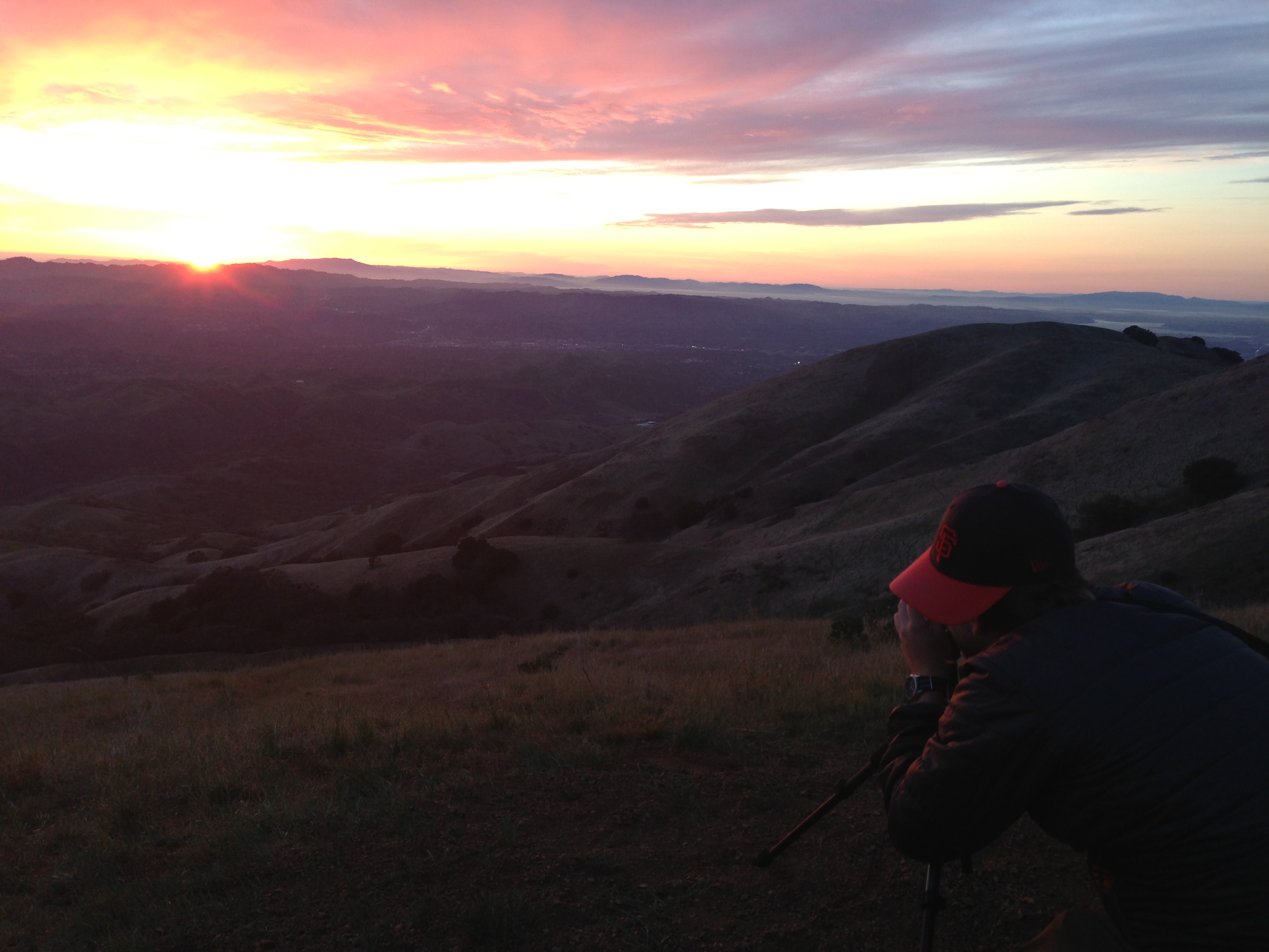
photo.JPG

Secret Hill

Mindless Self Indulgence
Grass Valley Trail
APC_1146-hdr-Pano.jpg
Topographic Map of Presidio Ct, Danville, CA, USA
Find elevation by address:

Places near Presidio Ct, Danville, CA, USA:
Sentinels Of Freedom Scholarship Foundation
366 Conway Dr
3010 Lakemont Dr
San Ramon
2623 Camino Ramon
2600 Camino Ramon
1973 S Forest Hill Pl
350 Bollinger Canyon Ln
Canyon Woods Apartments
1414 Promontory Terrace
6001 Bollinger Canyon Rd
408 Antigua Ct
2016 Wineberry Dr
6121 Bollinger Canyon Rd
Lilac Ridge Road
2635 Celaya Cir
The Bridges Golf Club
3040 Sombrero Cir
372 Bellflower Ct
4168 Greenwich Dr
Recent Searches:
- Elevation of Corso Fratelli Cairoli, 35, Macerata MC, Italy
- Elevation of Tallevast Rd, Sarasota, FL, USA
- Elevation of 4th St E, Sonoma, CA, USA
- Elevation of Black Hollow Rd, Pennsdale, PA, USA
- Elevation of Oakland Ave, Williamsport, PA, USA
- Elevation of Pedrógão Grande, Portugal
- Elevation of Klee Dr, Martinsburg, WV, USA
- Elevation of Via Roma, Pieranica CR, Italy
- Elevation of Tavkvetili Mountain, Georgia
- Elevation of Hartfords Bluff Cir, Mt Pleasant, SC, USA